Rides in Southern California
Southern California is a winter riding haven. So far just several trails that I rode during Christmas 2002 and 2003.
Palm Springs area
Art Smiths Trail to Palm Springs
Orange County
Moro Canyon
Aliso and Wood Canyon
San Juan Trail
Chiquito - San Juan Trail
Trabuco Canyon
Chino Hills SP
San Diego County
Carrizo Gorge
Sweetwater Reservoir Loop
Los Penasquitos Canyon
Sycamore Canyon
Nobel Canyon - Laguna Mountain
Art Smiths Trail to Palm Springs
Art Smiths trail climbs up to hills around Palm Springs, other trails descend back to the valley. A pretty good desert trail system rideable through the whole winter. Fotos and map from my ride are here
Moro Canyon
Here is the map of my tracks as taken by the GPS and plotted on the Terraserver satellite foto (450 kB). This park is a part of Crystal Cove State Park and lies on hills with direct views to the ocean. Most of the trails are fire roads, with occasional singletrack. The best one is supposedly the Rattlesnake, that is kinda technical, but not unrideable. I liked the most the singletrack section on the eastern ridge. Quite narrow and curly. The double loop I did more less explored every trail in the park in ca. 25 km and 700 meters of climbing.
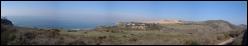
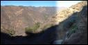
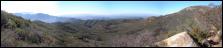
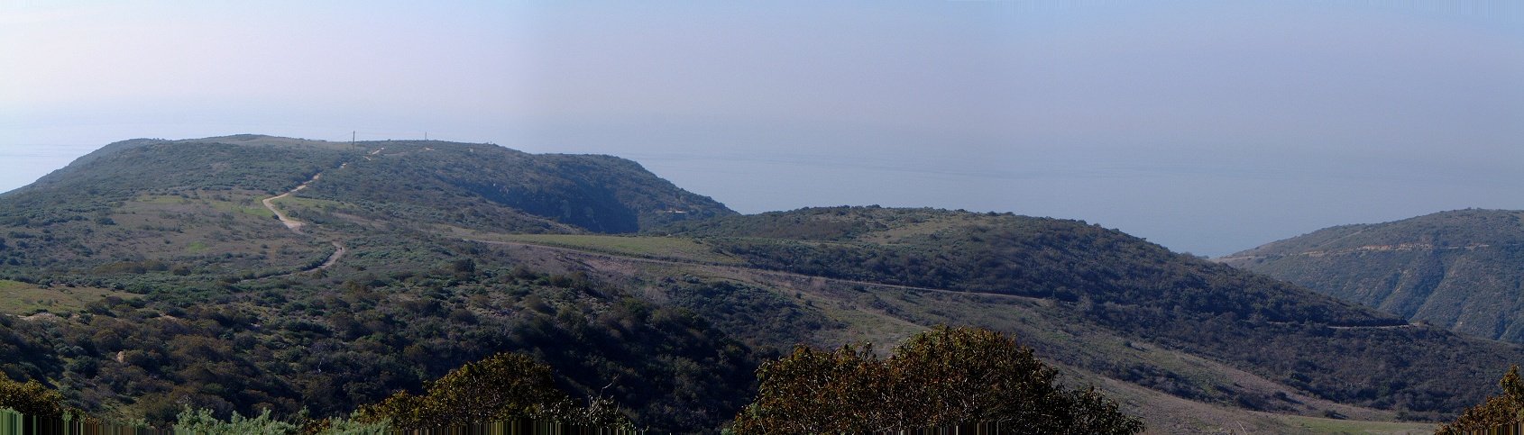
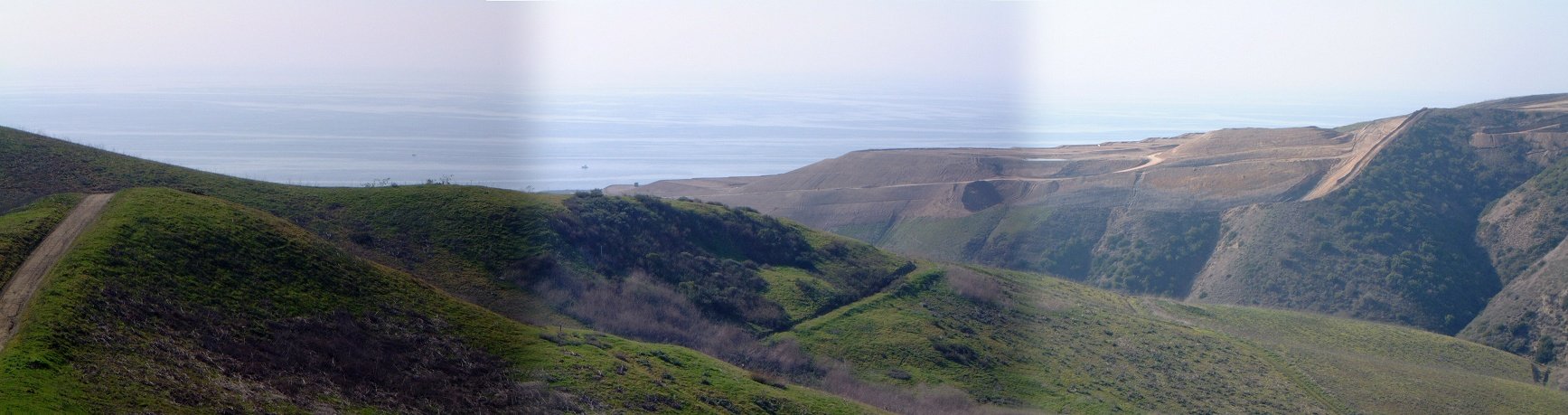
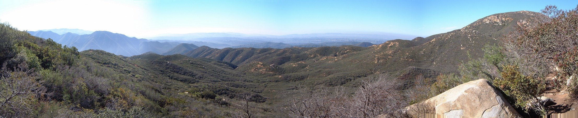
Panoramas from the climb up Moro ridge in the southern part of the park.
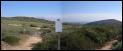
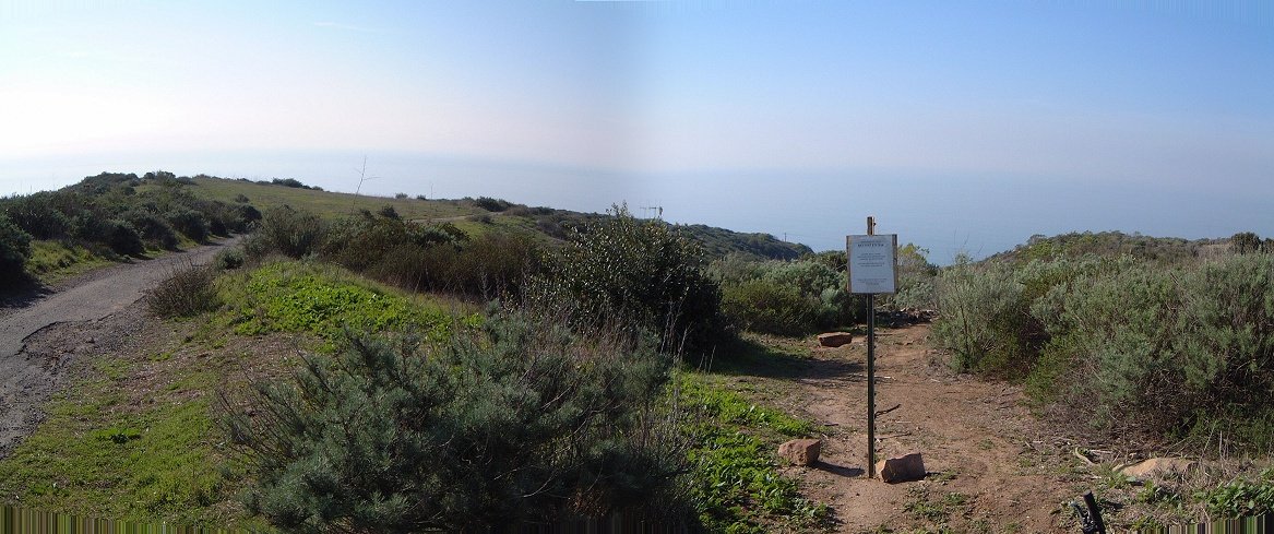
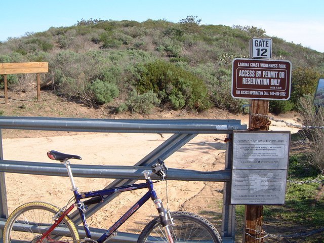
 Closed gate that connects trails in Moro Canyon with Laguna Wilderness Park, which is opened only on the weekends.
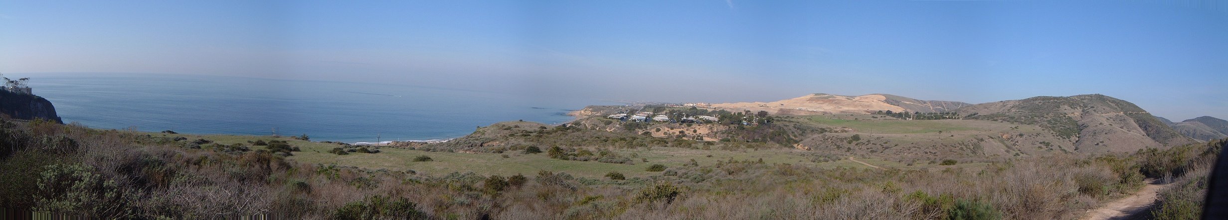
A view inland (east) from the main ridge, Santa Ana mountains in the background.

 Few parts of the Rattlesnake singletrack are quite nice.
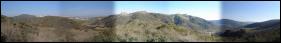
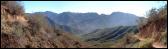
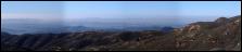
Panoramas from the Rattlesnake first and last west, middle one east.

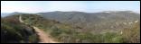
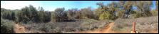
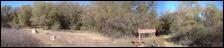
 As the road climbs up Moro Canyon, there are several moist and shaded areas.
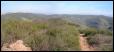
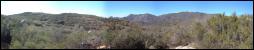
 The upper part of the climb up Moro Canyon.

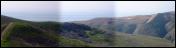
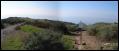
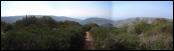
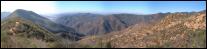
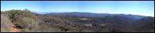
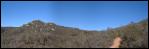
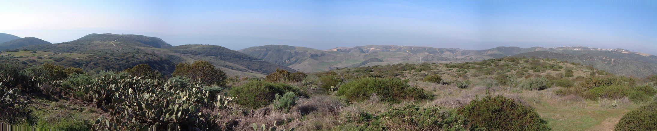
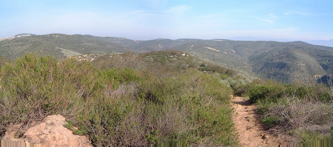
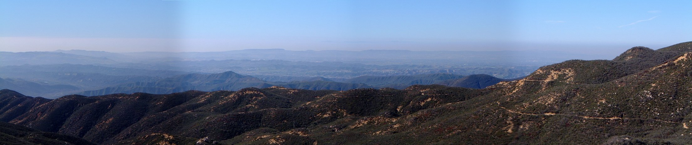
Panoramas from No Name Ridge in the northern part of the park.
Aliso and Wood Canyon
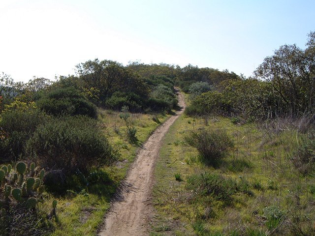
Here is the map of my tracks as taken by the GPS and plotted on the Terraserver satellite foto (550 kB). The park itself is quite surrounded by civilization, the trailhead is right off a major highway. There are several fire roads in the canyons and on the ridges, and several singletracks that climb up the ridge, most of them are quite wide, though (the people who ride here should go to Fruita to see what a real singletrack is and how to keep it - but, then, how can you teach those weekend warriors on $3000 bikes). The most famous track, Rock-it trail, was quite technical (boneshaking), but completely rideable. I found the best singletracks to be paralleling the main canyon road - there are several trails there that are quite nice, fast rolling singletrack with several tricky sections.

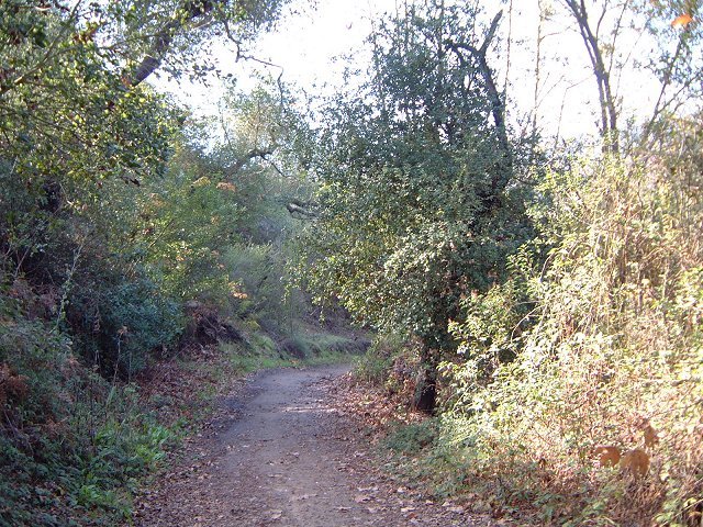
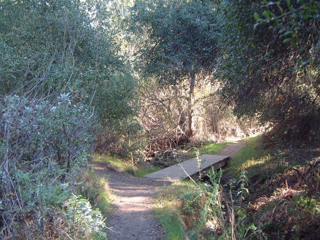
 The trail to Dripping Cove and further upcanyon is one of the better singletracks.
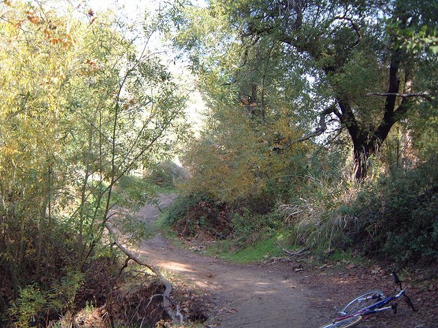
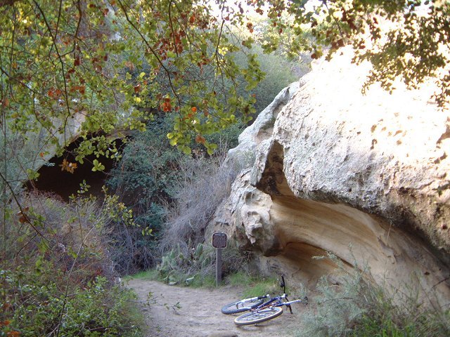
 Probably the best sigletrack - Wood Creek Tr. - which ends in a 50 m. hike a bike hill.

 Chola cactus after which the trail got its name and how the trail looks like (singletrack used-to-be).
 Panorama of the canyons from the western ridge.
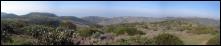
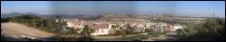 A view inland reveals sprawling civilization.
 The rocky face of Rock-It trail.

 A small piece of Utah in Orange County - a Mormon church standing right at the trailhead, that I have naively confused with the ranger station asking for trail maps... And the real ranger station in the trailer nearby (guess a matter of priorities - for the soul and for the body).
San Juan Trail
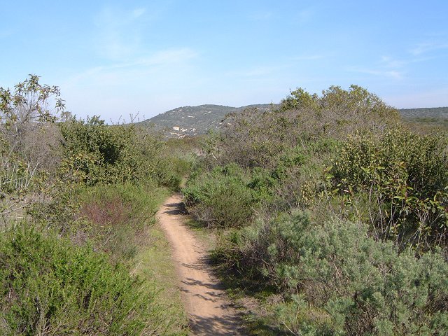
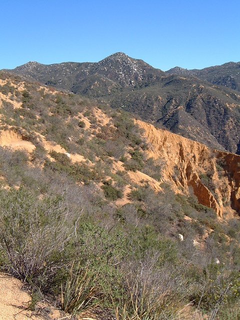
San Juan Trail is located in the Santa Ana Mountains in southeastern Orange County. The trail climbs from a valley at 250m to about 1000m with occasional short ups and downs. The trail is supposed to be one of the best in the county, and the views were indeed quite nice. The trail itself looked like overused singletrack, width varying from 0.5m to 3m, depending on ruts,... But the ride was very nice, I rode the trail up, then made a small loop on the top and back down, 35 km and 1100 m vertical.
Here is the map of my tracks as taken by the GPS and plotted on the Terraserver satellite foto (note, it's 750 kB). I went up San Juan, then missed the turn to Old San Juan to complete the loop as described in the guidebooks and turned out at the Blue Jay campground, which is an alternate trailhead for those who want to skip the climb and just ride down. So, I went back and after gathering my senses, I found both the turnoff to Chiquita trail, and rode it a bit down just to see, and then finished the small loop rejoining the San Juan trail back to the trailhead.
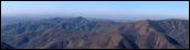
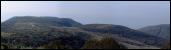
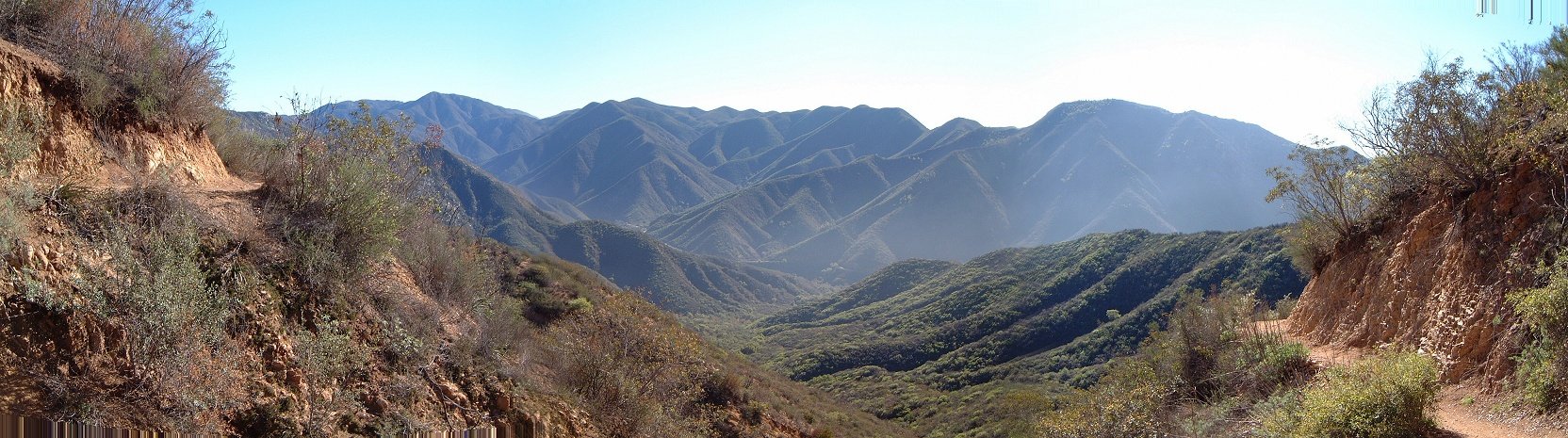
Panoramas as one climbs up San Juan Trail.

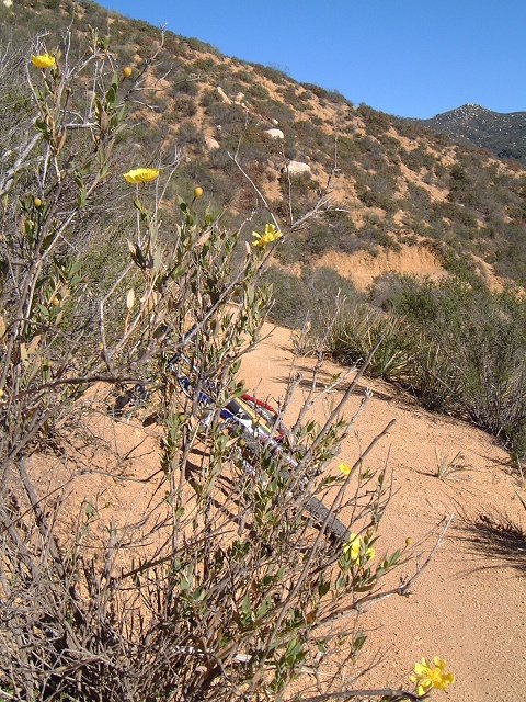
 South facing slopes are pretty dry.
 The singletrack can get as narrow as this.
 Or as rutted as this (this was a nice section going through a forest meadow).
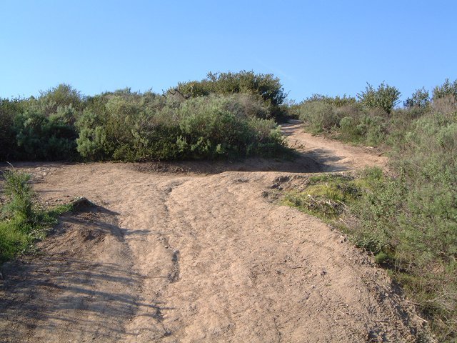
 Confusing intersection of San Juan and Old San Juan Trail, one comes from the left and leaves on the right, there are two more trails to choose from.
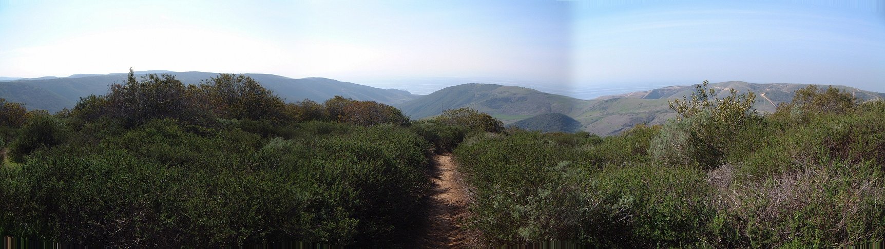
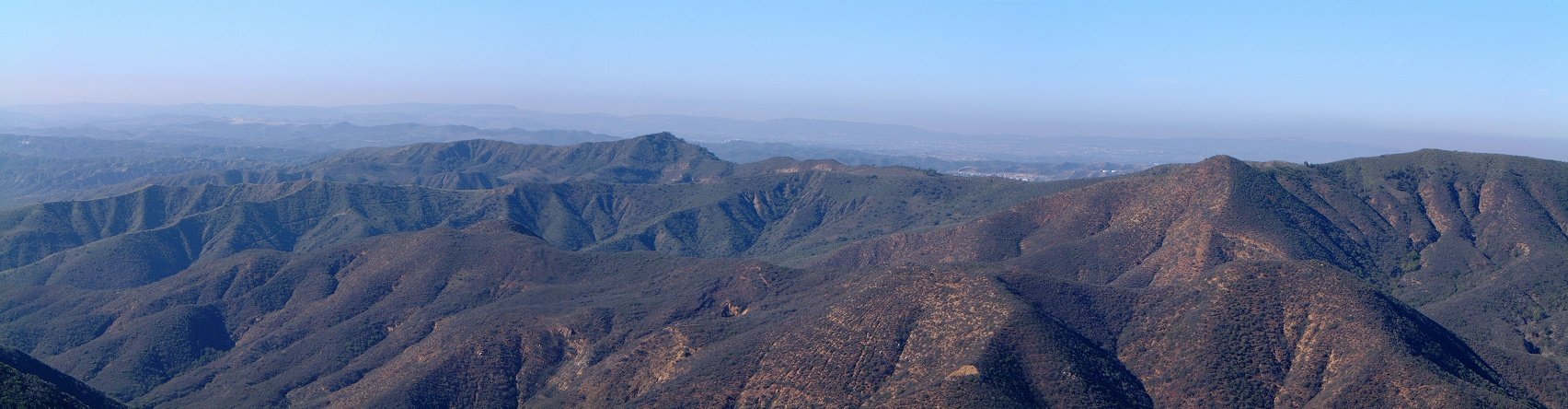
 Panorama southeast as one nears the Blue Jay trailhead.
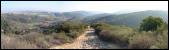
 The trail goes mostly through the forest in near the upper trailhead.
 Intersection with Chiquita trail brings no confusion (as opposed to the other intersections encountered previously).
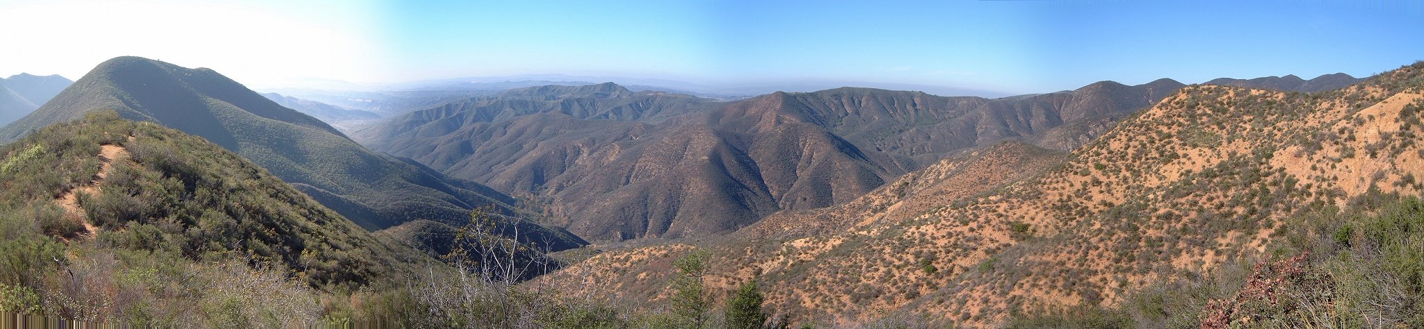
 Panorama west from the eastern side of the loop, the trail here rolls up and down through the bushes.
 Another panorama from this bushy area.
Chiquito - San Juan Trail
Chiquito trail is south of San Juan, and connects to it up in the hills so I figured I'll try to ride it up and down San Juan. This was not too great of an idea, as can be seen from pictures and map from the ride.
Trabuco Canyon
Trabuco Canyon is a major canyon in Santa Ana mountains. From here, one can access several trails, including Holy Jim and West Horsethief. I combined them together with a ridge ride into a whole day ride. Pictures and map from the ride are here.
Chino Hills SP
Chino Hills is a nice area of mostly fire roads, that's deadly after rain. I experienced this firsthand, the mud there is treacherous. Pictures and map from my ride are here.
Carrizo Gorge
This trail follows an old and defunct railroad track through Carrizo Gorge. It starts at ca. 900 m. so the winter morning was a bit chilly, but, it warmed up. The railroad is not operational since 1973, when some of the tunnels were blocked. However, the rest is in a good shape, and the trail that leads next to the tracks has a singletrack quality. It goes for about 20 km to about 650 m on the eastern slopes of the gorge, through many bridges and tunnels. Then it finally turns east to a flatter desert of Imperial Valley. There I turned around and rode back. The whole thing took me about 4.5 hours with many stops for pictures,..., length 44 km and ca. 450 m. vertical.
Clickable map and fotos are here.
NOTE In 2004 I received a note that the railroad on which grade this trail goes resumed performance so this ride should not be done unless one wants to risk finishing the ride on a front of a locomotive.
Sweetwater Reservoir Loop
A mediocre ride with mix of road, fire road and singletrack around a lake east of Chula Vista. Pretty decent workout for a winter day. Fotos and map from my ride are here.
Los Penasquitos Canyon
A relatively lame fire road at the bottom of the canyon and some pretty decent singletrack on the northern hills, which is somewhat hard to find. Still, managed to get a pretty good ride out of this. Pictures and map from the ride are here.
Nobel Canyon and Laguna Mountain
Arguably the best riding in San Diego county. I combined riding up road to Laguna Mountain, loop around it and ride down Nobel Canyon into a good loop. Not for the faint hearted but definitely worth doing.
Pictures and map from the ride are here.
Sycamore Canyon
An emergency ride during a rainy day, good choice for that. Relatively short and not too scenic due to wildfires that raged the area in 2003. Pictures and map from the ride are here.
U of U / CHPC / Cuma / Mountain Bike / Southern California
URL:
http://www.chpc.utah.edu/~mcuma/bike/ca_south.html
 Closed gate that connects trails in Moro Canyon with Laguna Wilderness Park, which is opened only on the weekends.
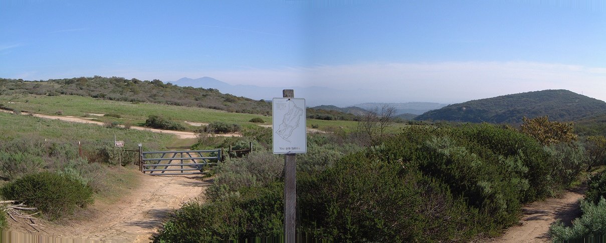
 Few parts of the Rattlesnake singletrack are quite nice.
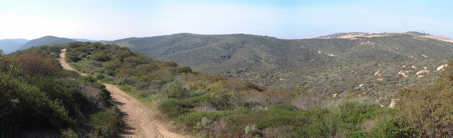
 As the road climbs up Moro Canyon, there are several moist and shaded areas.
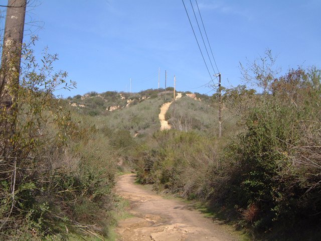 The upper part of the climb up Moro Canyon.
 The trail to Dripping Cove and further upcanyon is one of the better singletracks.
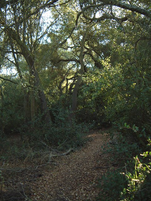 Probably the best sigletrack - Wood Creek Tr. - which ends in a 50 m. hike a bike hill.
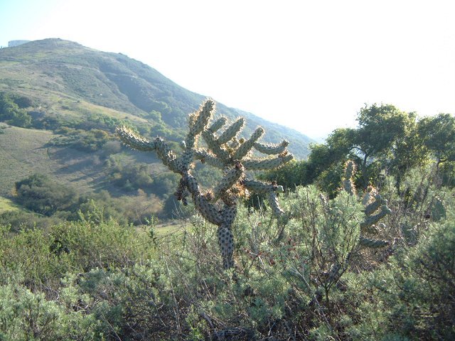
 Chola cactus after which the trail got its name and how the trail looks like (singletrack used-to-be).
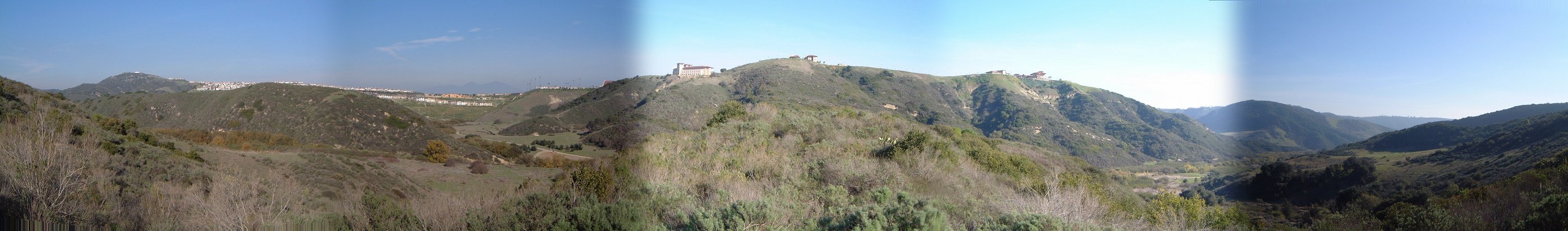 Panorama of the canyons from the western ridge.
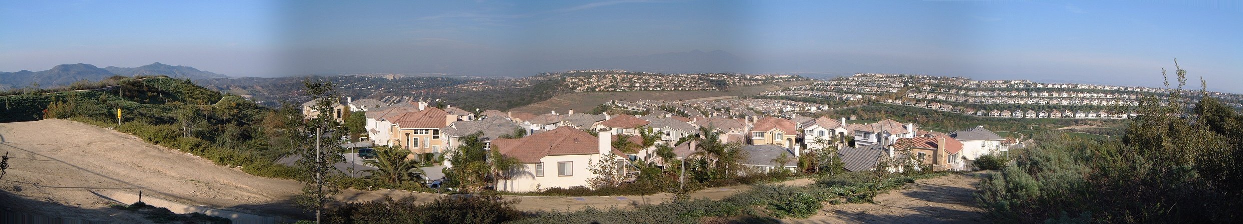 A view inland reveals sprawling civilization.
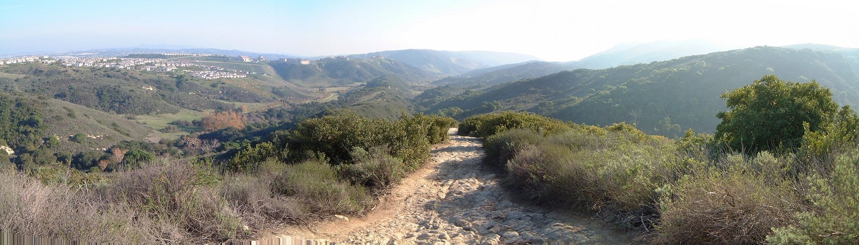 The rocky face of Rock-It trail.
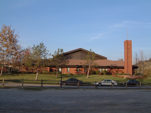
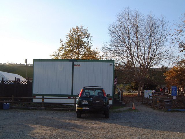 A small piece of Utah in Orange County - a Mormon church standing right at the trailhead, that I have naively confused with the ranger station asking for trail maps... And the real ranger station in the trailer nearby (guess a matter of priorities - for the soul and for the body).
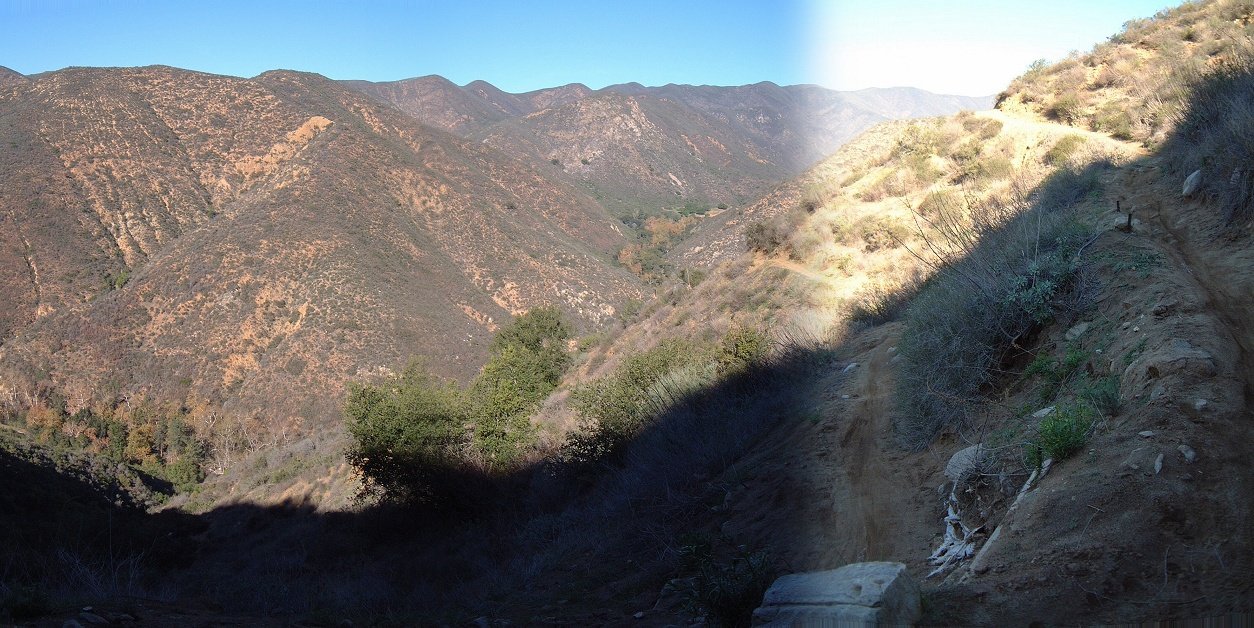
 South facing slopes are pretty dry.
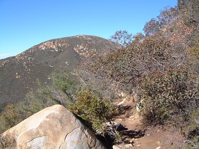 The singletrack can get as narrow as this.
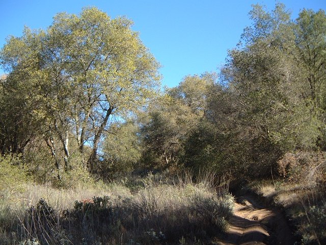 Or as rutted as this (this was a nice section going through a forest meadow).
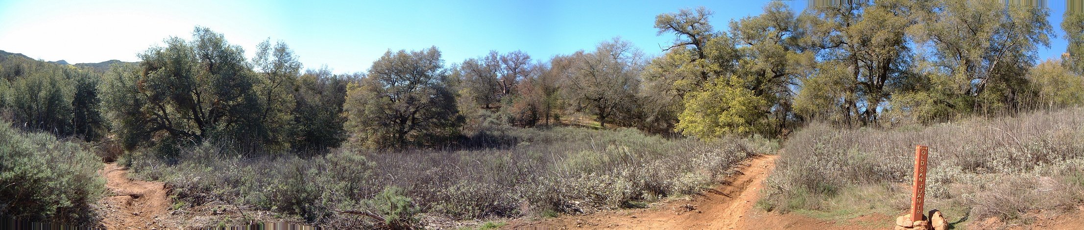 Confusing intersection of San Juan and Old San Juan Trail, one comes from the left and leaves on the right, there are two more trails to choose from.
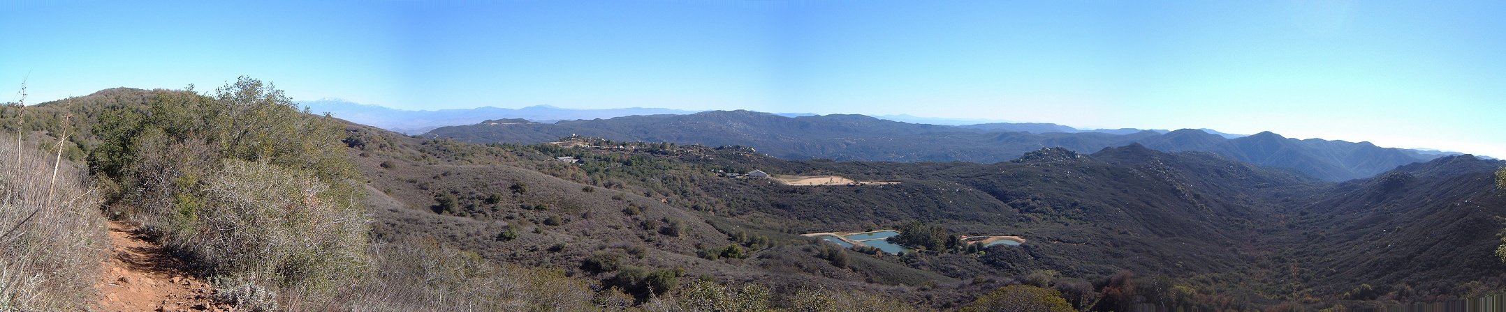 Panorama southeast as one nears the Blue Jay trailhead.
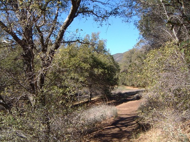 The trail goes mostly through the forest in near the upper trailhead.
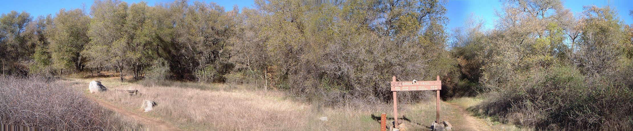 Intersection with Chiquita trail brings no confusion (as opposed to the other intersections encountered previously).
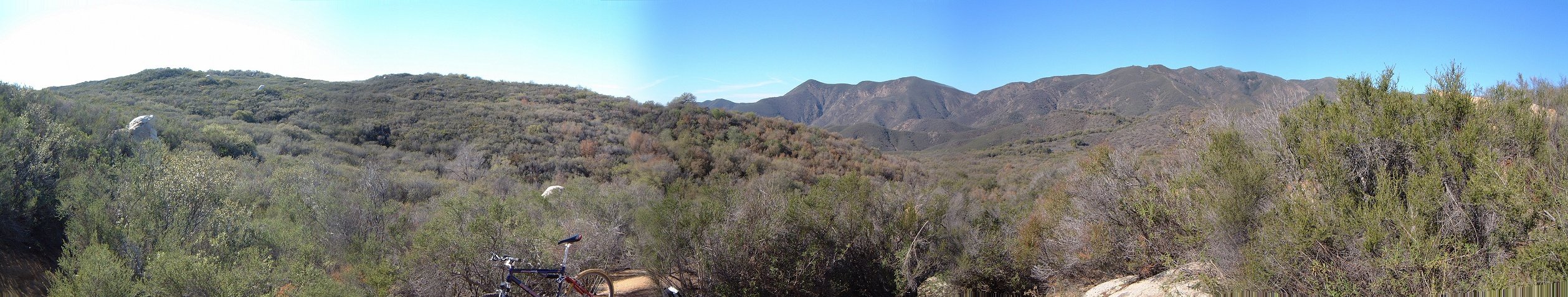 Panorama west from the eastern side of the loop, the trail here rolls up and down through the bushes.
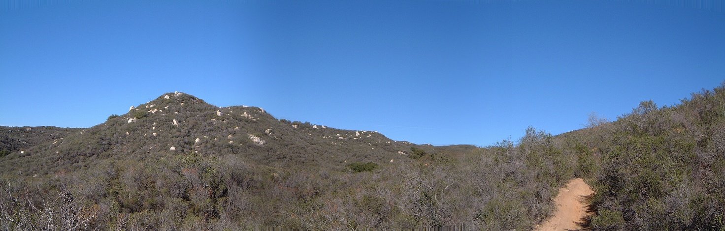 Another panorama from this bushy area.