| Name: | McCoy Flat riding | 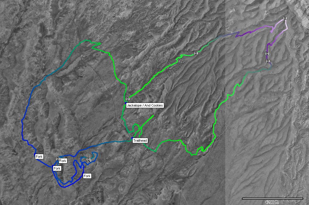
|
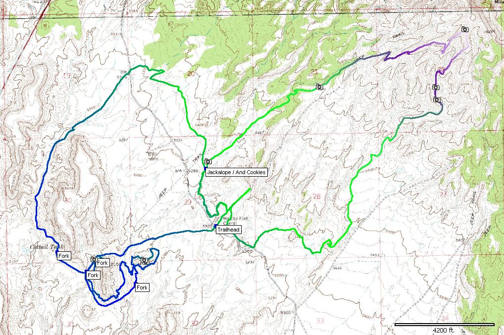
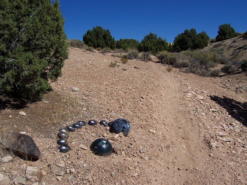
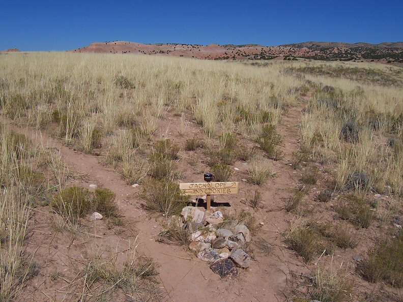
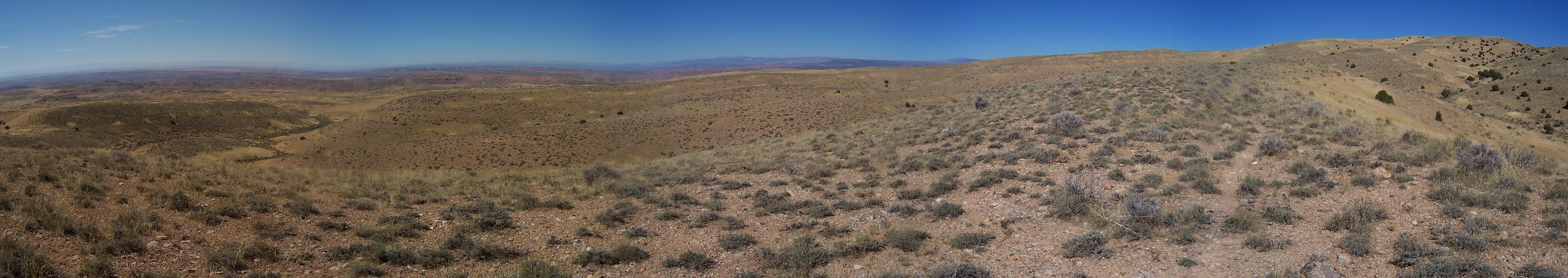
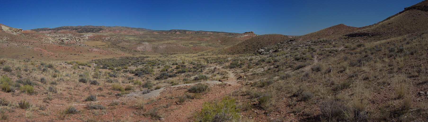
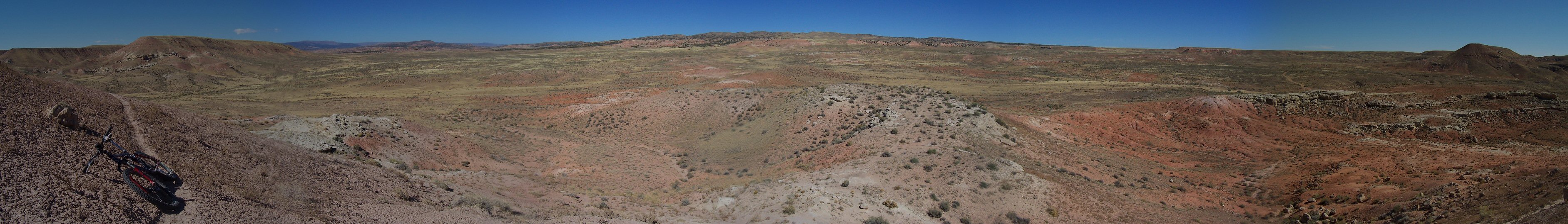
| Description: | An emergency ride out of Vernal since I was unable to get the trail guide book. After talking to a helpful US Forest Service employee, I found the trailhead area which is about 9 miles east of Vernal. From here I headed east on a singletrack that soon forked and I climbed up to a hill nearby US 40 and then down on the other ridge. This trail is called Jackalope, and was relatively raw. I feel like it may have been easier to ride it in the other direction, but, I still had fun on the downhill. On a fork I went south and soon emerged back at the trailhead. So, I followed the singletrack on which I started again and this time forked left. Looked out for some more singletrack off the dirt road going NE, but, at no avail so went back to the only signed fork and onto And Cookies. This trail goes through the sagebrush, crosses a road and goes into a wide wash - staying on its sides. After some time I run into several intersections and went on a very raw singletrack that went up and down on the clay-sandstone hills. This was reasonably technical. I eventually emerged at the same spot where I left off and continued straight back to the trailhead. Bottom line - I was not too impressed, the landscape is not that appealing and I could not make up the trails very well, plus I was upset that I got a late start that day. I suppose that if I had a map I would have done better and will definitely go back next time. | |
| URL: | TopoFusion Home Page | |
| ||
| ||
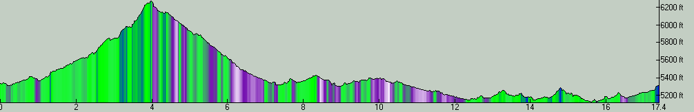
| Total Distance: | 17.40 miles (28.00 km) |
| Total Trip Time: | 3:10:38 (2:44:39 moving time) |
| Total Climbing: | 2651 feet (808 m) |
| Total Descending: | 2676 feet (816 m) |
| Average Speed: | 6.34 mph (10.20 kph) |
 100_0550.jpg |
 100_0560.jpg |
 100_0561.jpg |
 100_0571.jpg |
 mccoy1s.jpg |
 mccoy2s.jpg |
 mccoy3s.jpg |
 mccoy4s.jpg |