| Name: | Riding around Reno | 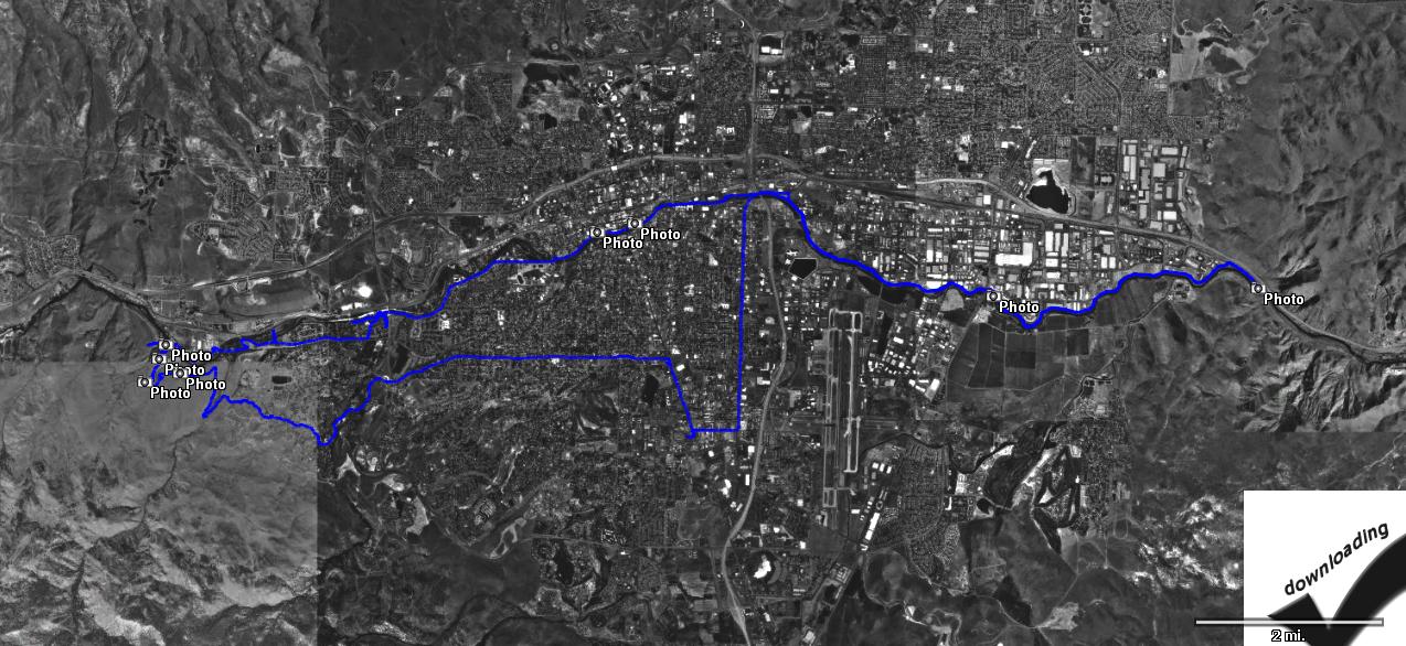
|
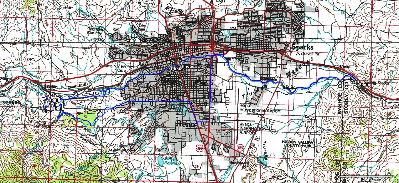
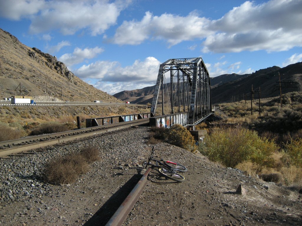
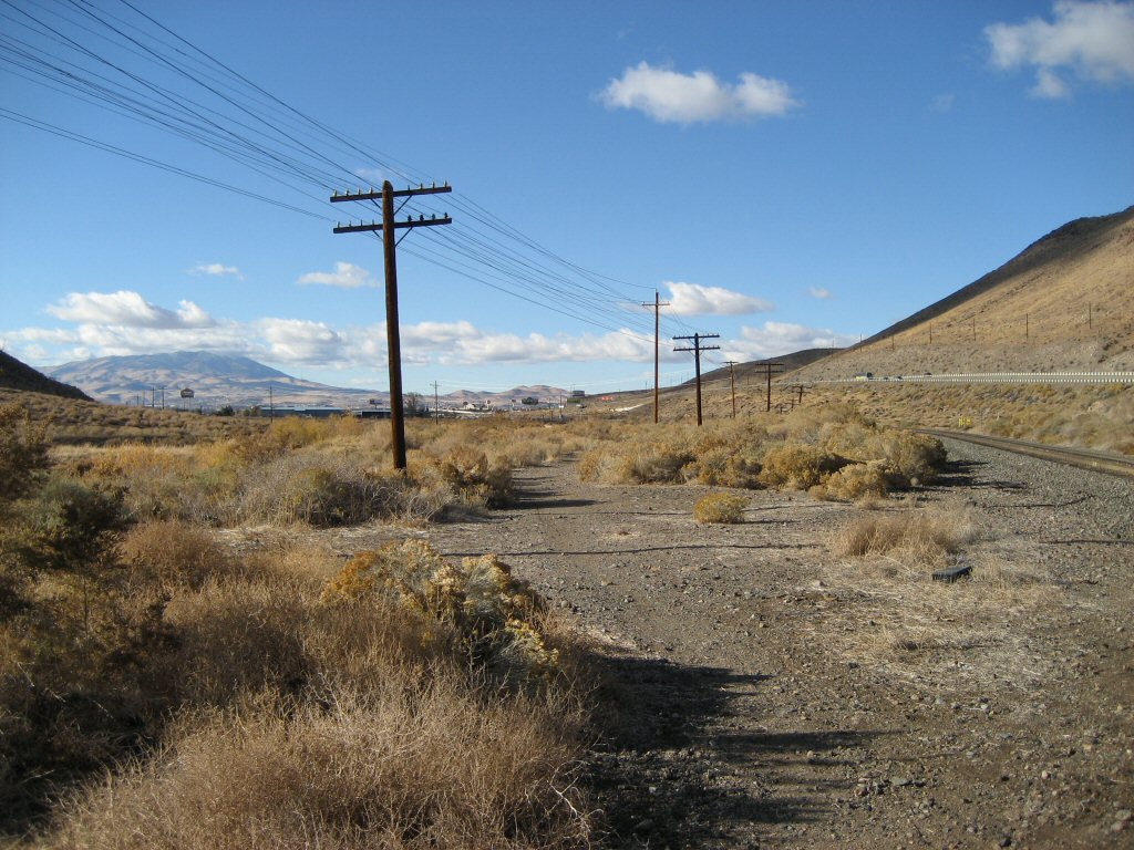
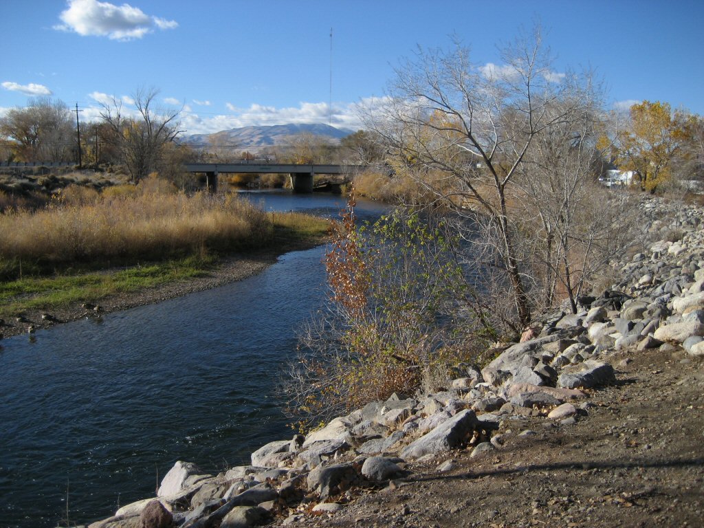
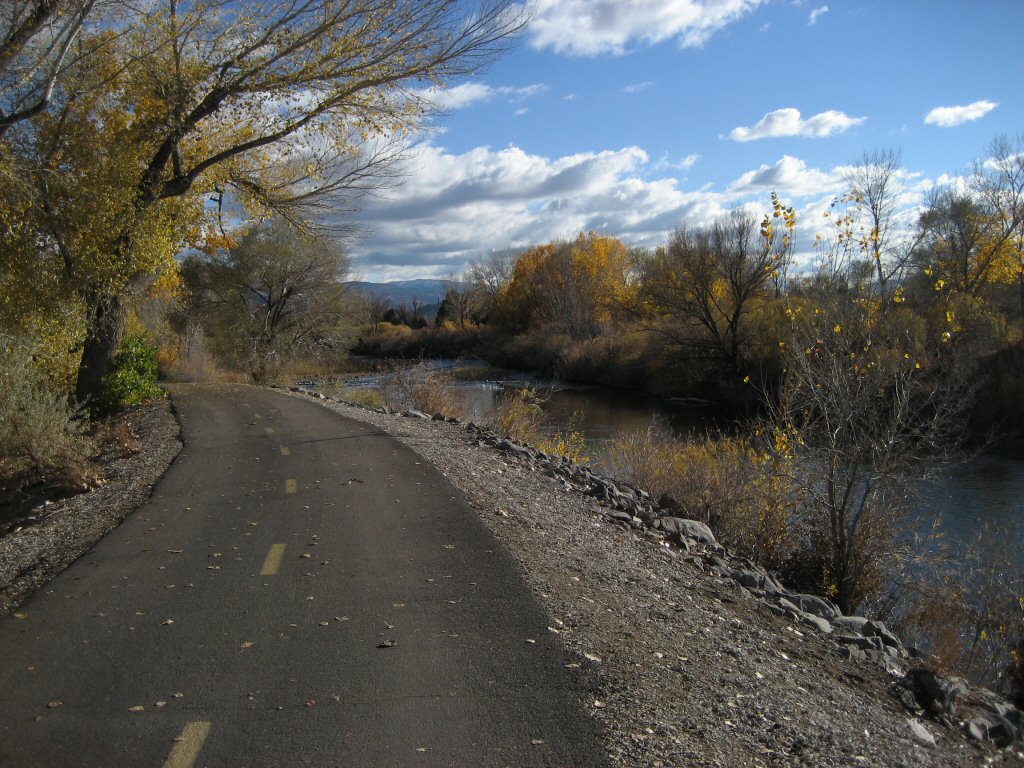
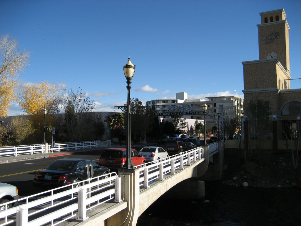
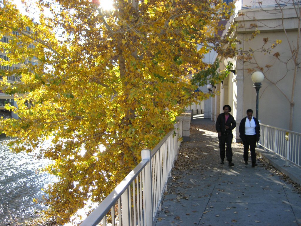
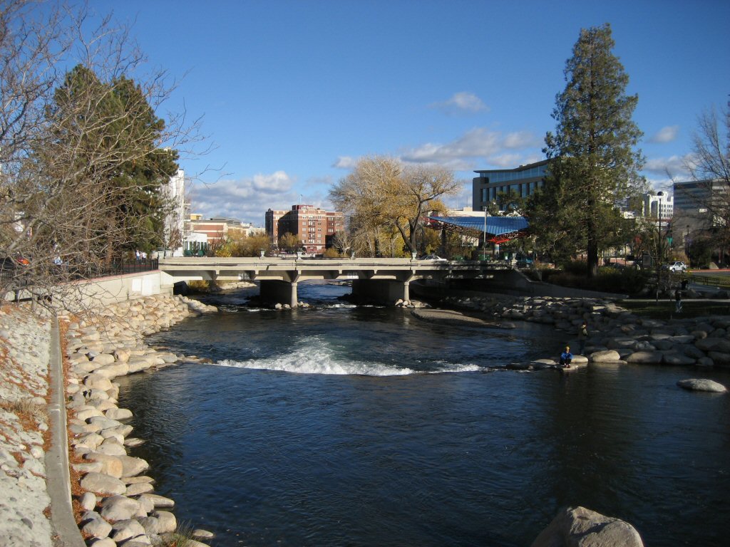
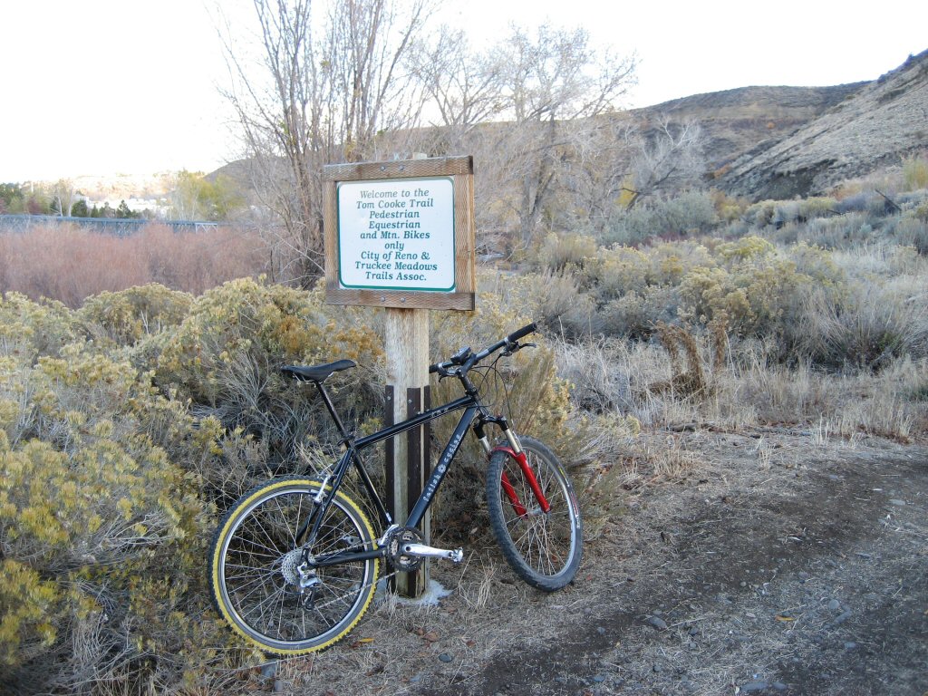
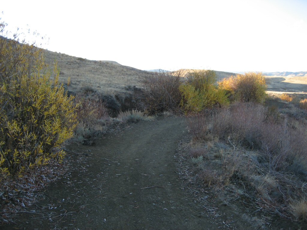
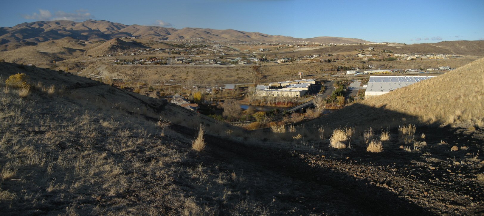
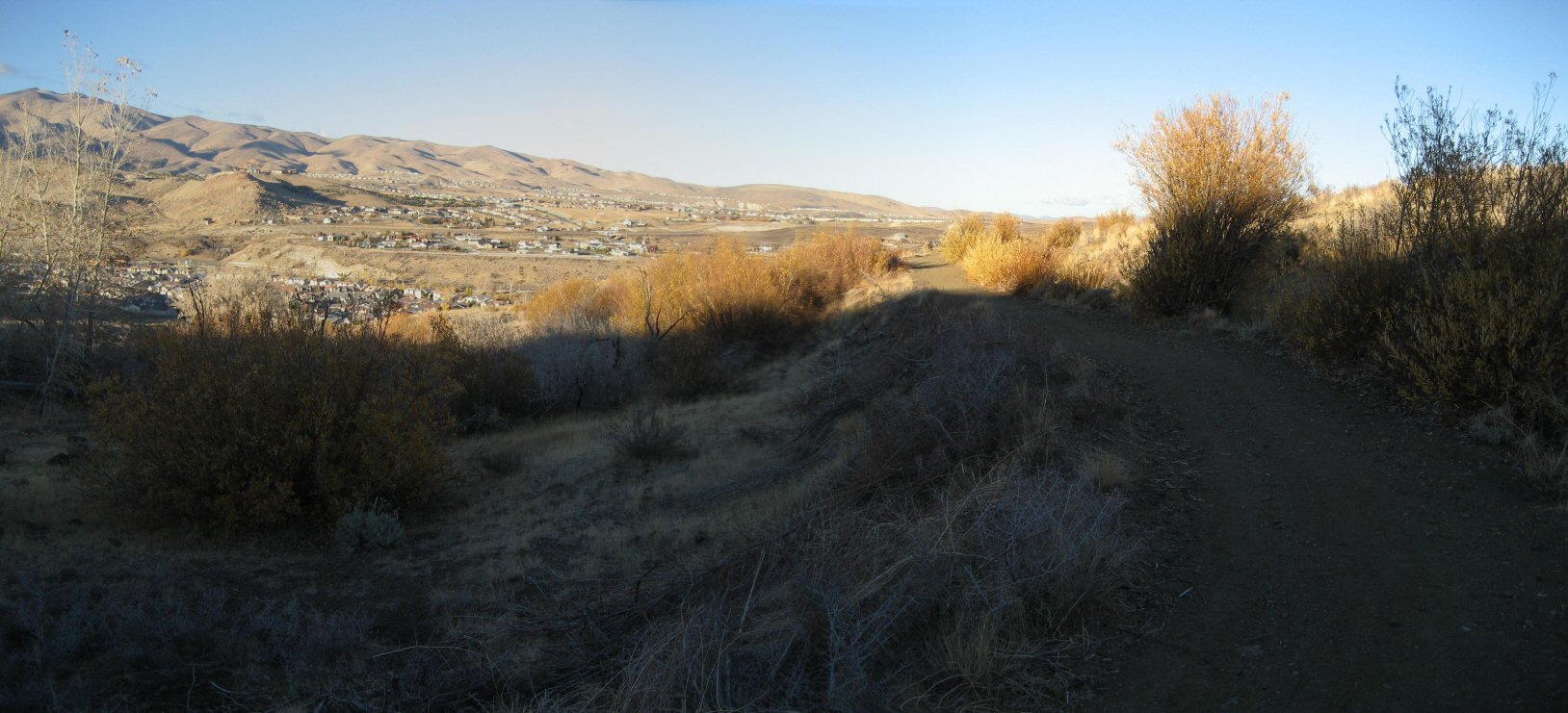
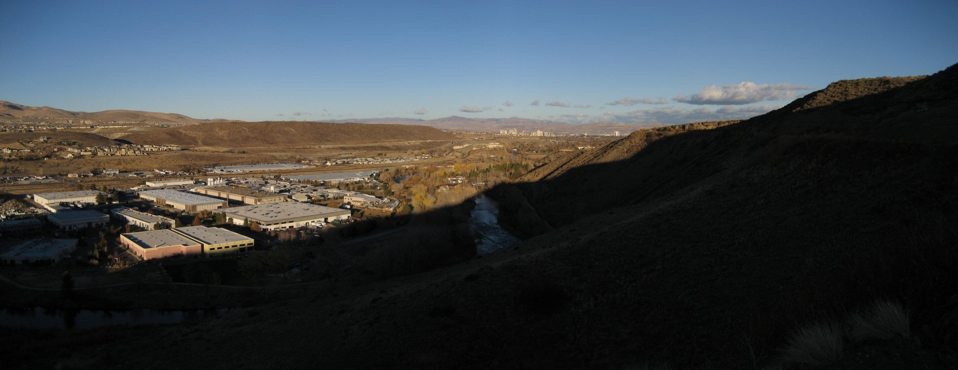
| Description: | A cold Sunday post storm ride. I set out to check out the Truckee River paved path, that is pretty reliable going east from the downtown, all the way to the canyon at the east where it ends at railroad tracks. Going west from downtown turns a bit California-esque, with parts of the path being off limits to bikes, and thus having to follow the road (fortunately not busy). The trail then disappears and reappears again. I got lost in a neighborhood for a bit before finding Mayberry St, which has a bike route going west, which turns into a path which goes for another mile west to Mayberry Park. Here I managed to find a dirt trail heading up to Steamboat Ditch trail - this trail follows a ditch for about 4 miles, I took it back to the town. Better to say, a poshy neigborhood which roads I followed downhill to get to Plume Rd, which heads east all the way to Virginia and back to the motel. Overall, a good exploration with a fun and easy first part on Truckee Trail and several frustrating moments in the west side of the town. | |
| URL: | TopoFusion Home Page | |
| ||
| ||
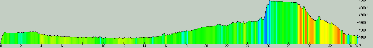
| Total Distance: | 34.73 miles (55.89 km) |
| Total Trip Time: | 3:13:05 (2:44:24 moving time) |
| Total Climbing: | 2007 feet (612 m) |
| Total Descending: | 1877 feet (572 m) |
| Average Speed: | 12.68 mph (20.40 kph) |
 reno01.jpg |
 reno02.jpg |
 reno03.jpg |
 reno04.jpg |
 reno05.jpg |
 reno06.jpg |
 reno07.jpg |
 reno08.jpg |
 reno09.jpg |
 reno1s.jpg |
 reno2s.jpg |
 reno3s.jpg |