|
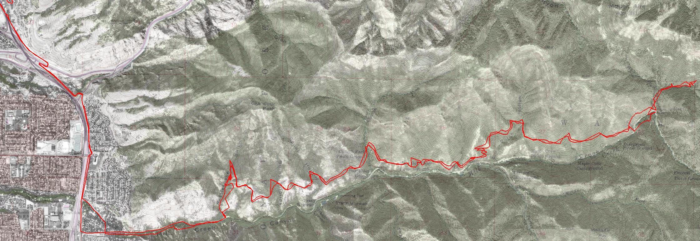
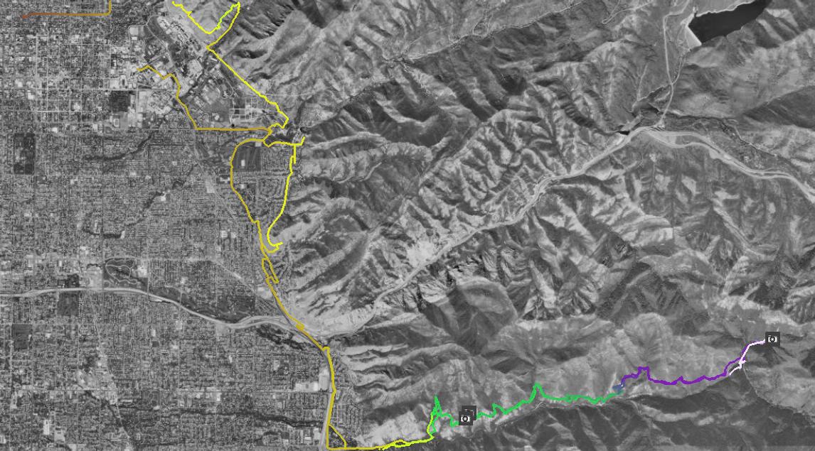
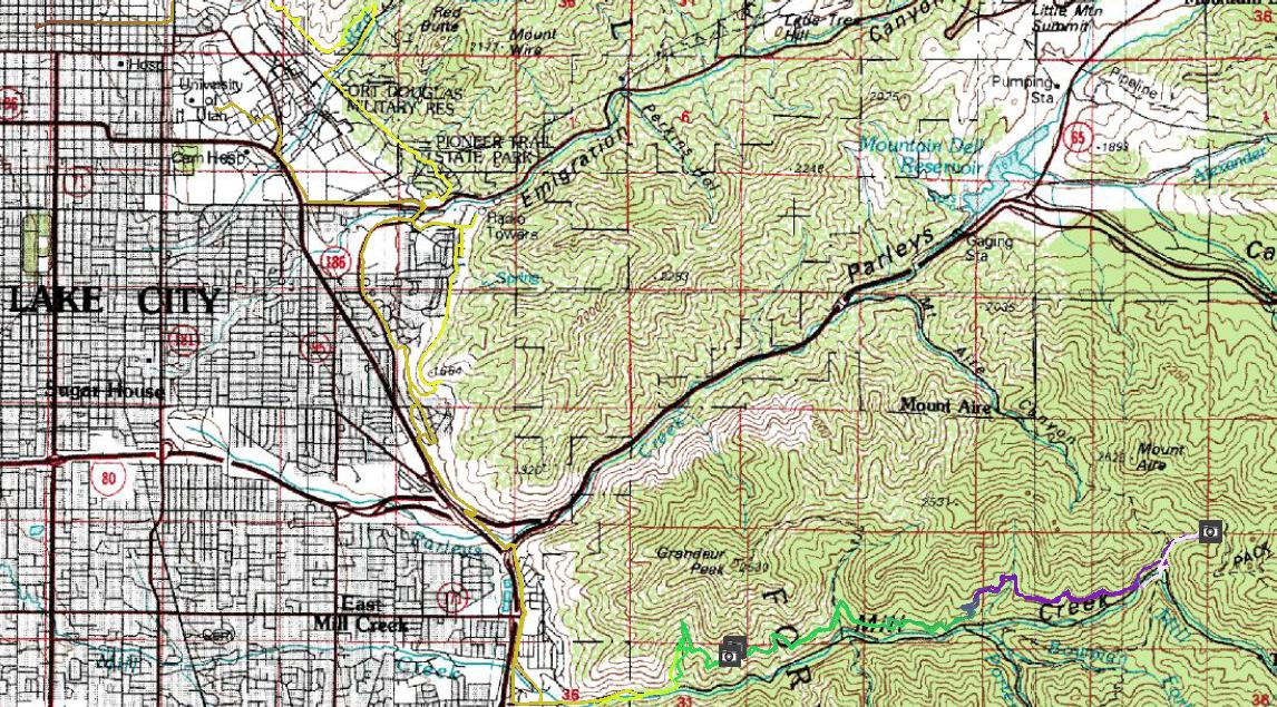
Name: | A wednesday afternoon semi-epic going from work up Shoreline Trail to Millcreek Cyn., up the Pipeline and Lambs Canyon trails, and back. Includes the exciting ride over Interstate 80 on the bike overpass near Parleys Canyon. |
| Other info: | Generated with TopoFusion There are a few photos embedded in the map, follow the mouse over the camera icon to see the foto thumbnail in the upper left corner. Click on the photo to display the full image. | |
| ||
| Trip Length: | 40.29 miles |
| Total Trip Time: | 4890 days, 0:32 |
| Total Climbing: | 5031 feet |
| Total Descending: | 5388 feet |
| Average Speed: | 0.00 mph |
![[mill210503.jpg]](mill210503.jpg)
![[mill210503a.jpg]](mill210503a.jpg)
![[mill210503b.jpg]](mill210503b.jpg)
![[mill210503z1.jpg]](mill210503z1.jpg)