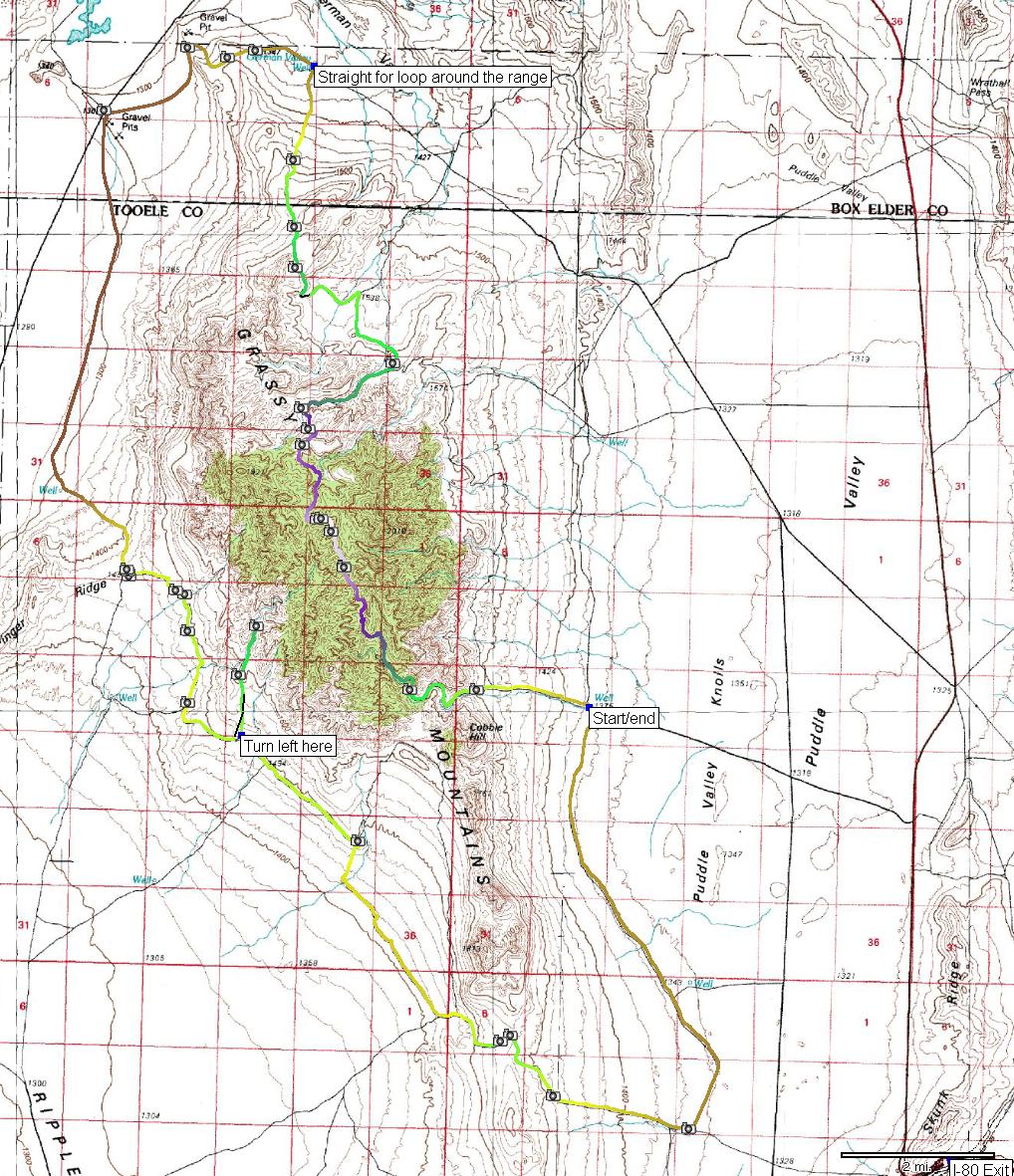
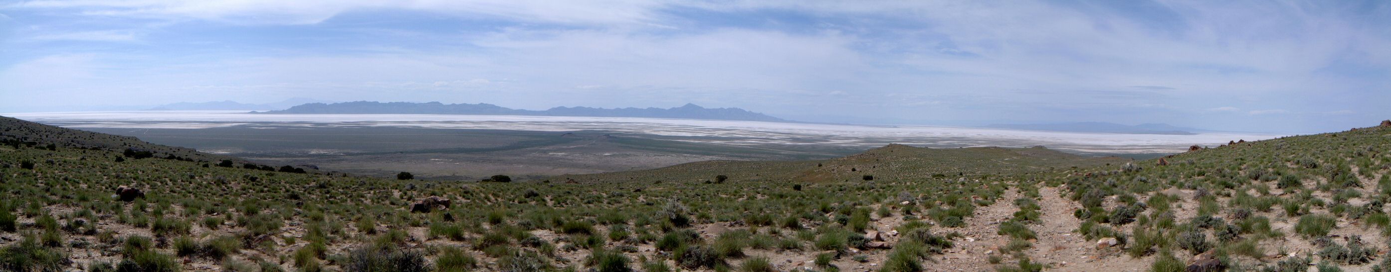
| Description: | Grassy Mountains are fourth range west of Wasatch north of I-80 (in the order Antelope I., Stansbury I., Lakeside Mtns., Grassy Mtns., Salt Flats).
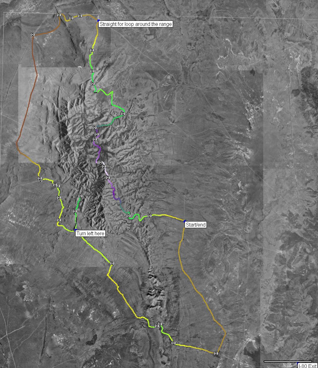
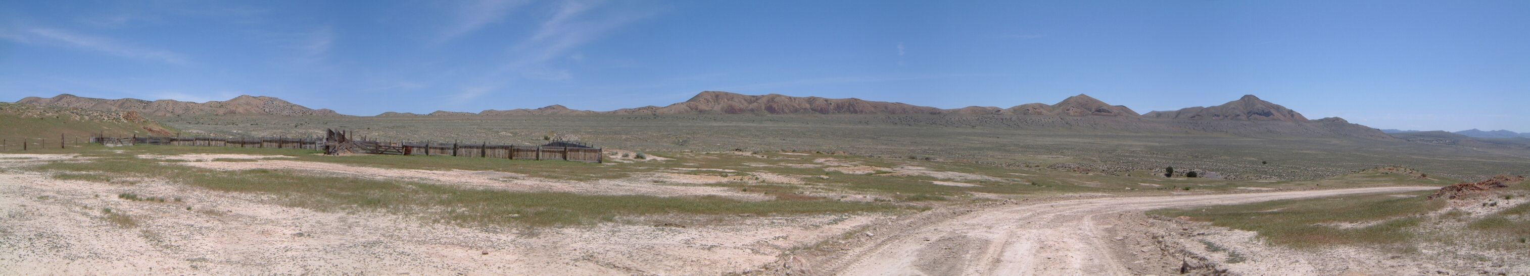
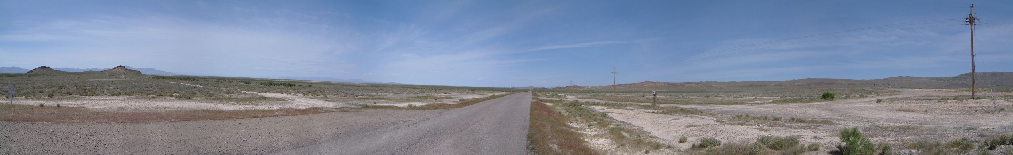
The loop starts at the western side of Puddle Valley at an intersection near a quite visible well. To get here, exit I-80 at 59 (or so), drive north on paved road for about 5 miles and then west on dirt for another 4 or so.
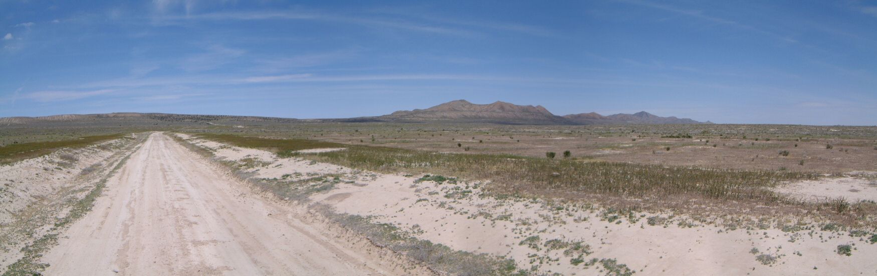
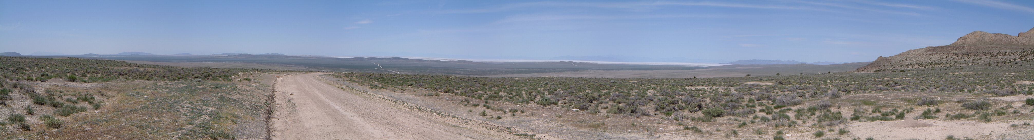
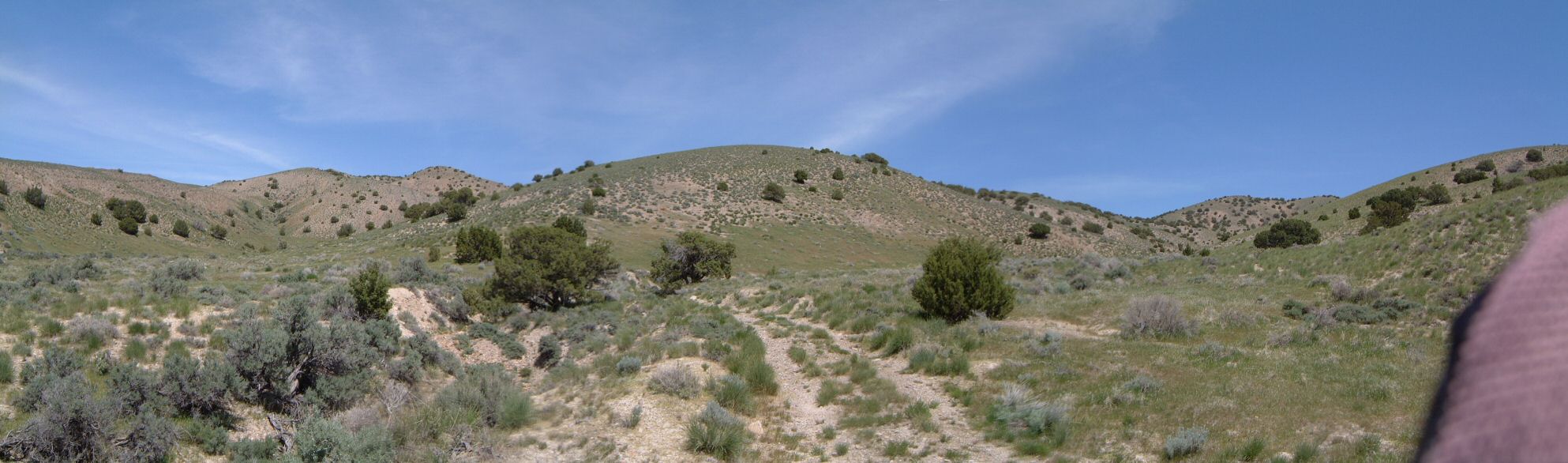
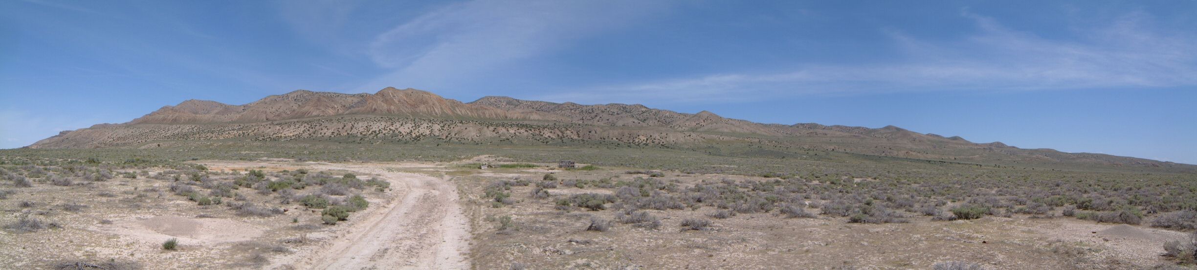
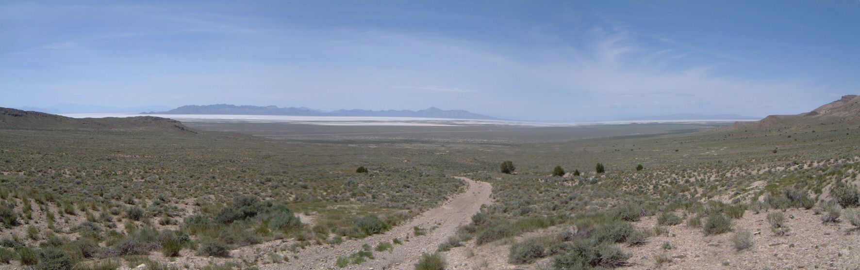
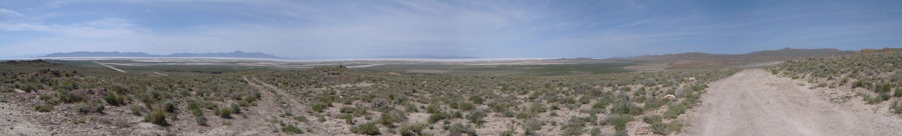
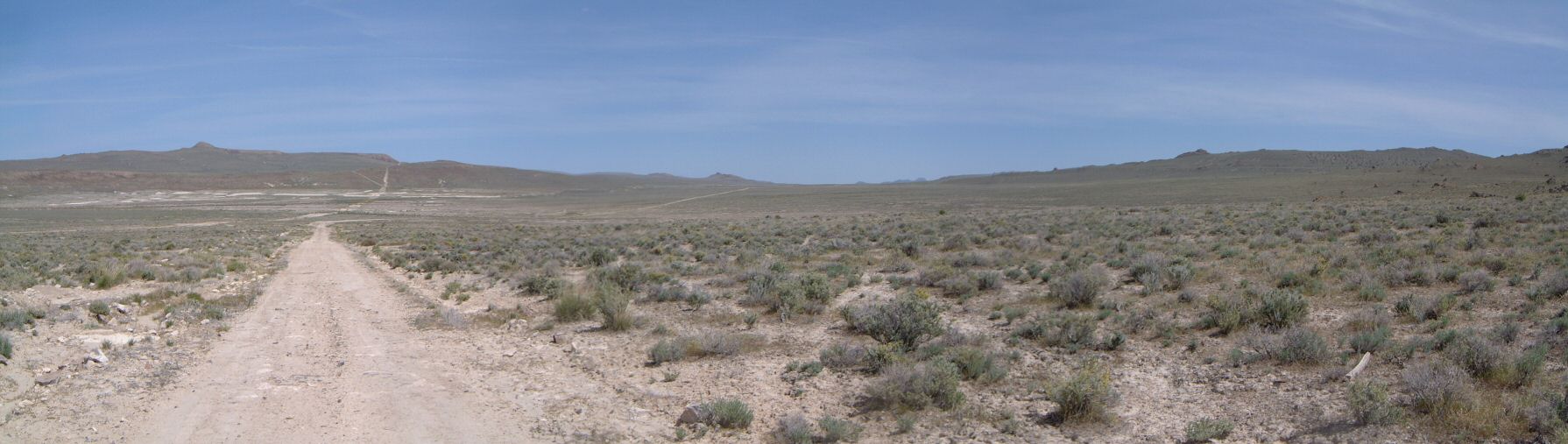
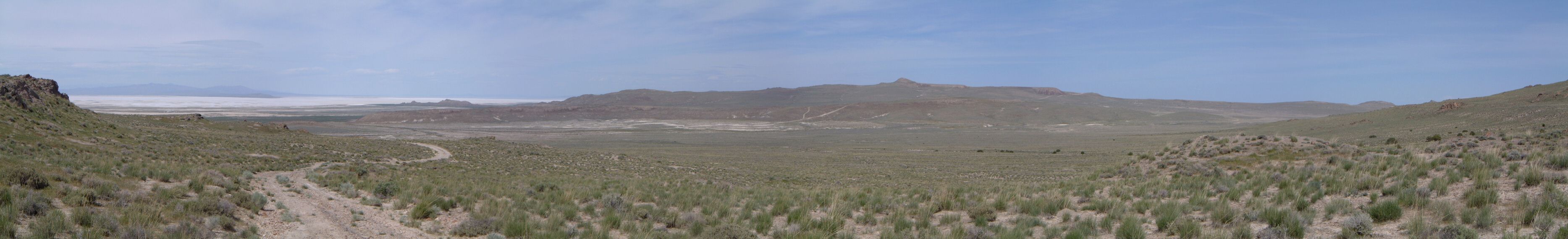
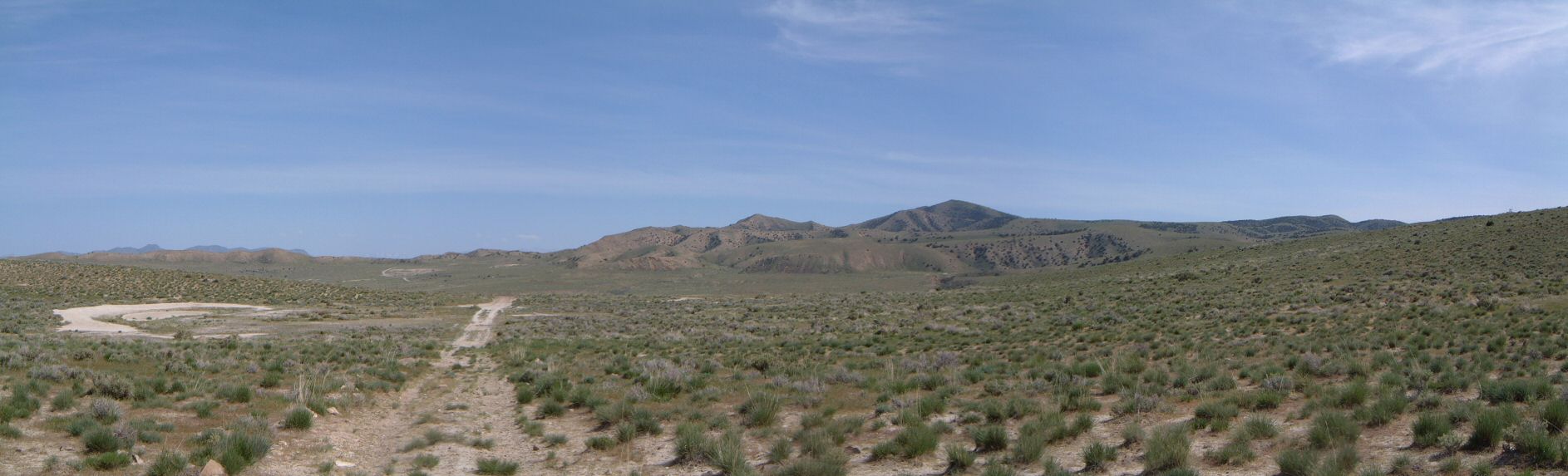
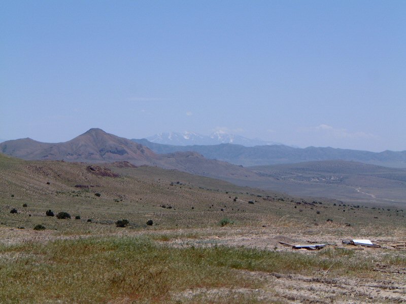
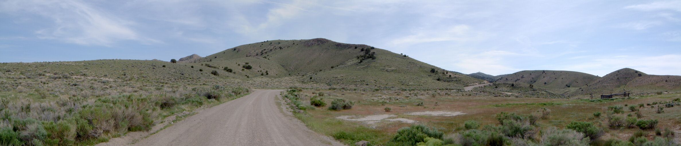
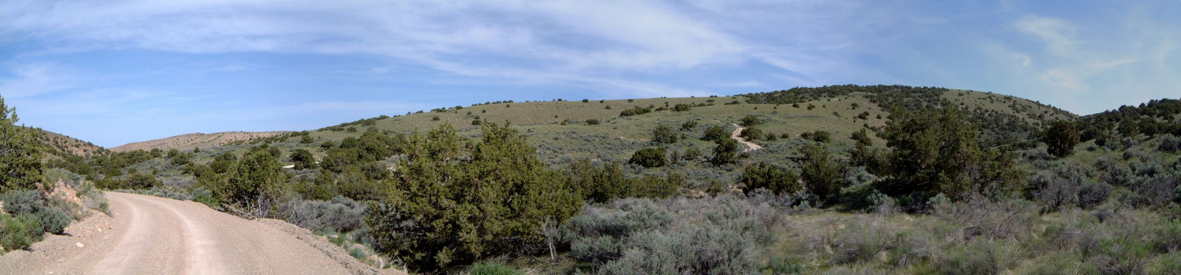
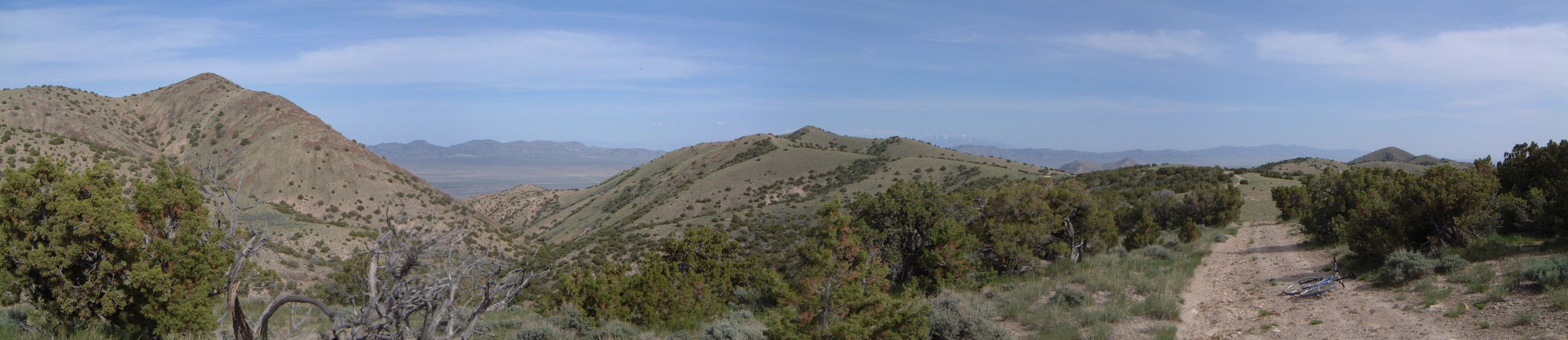
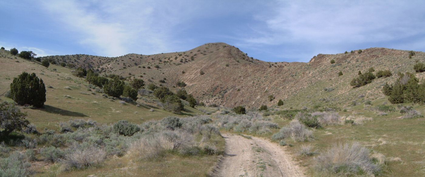
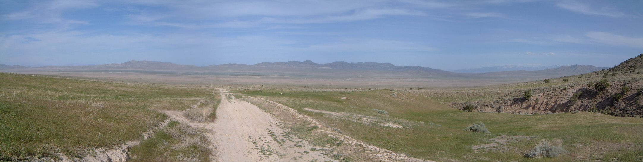
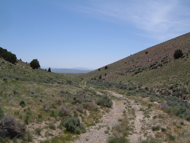
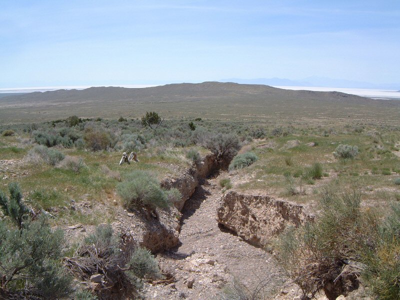
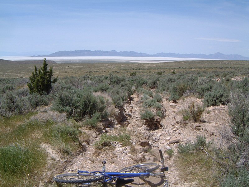
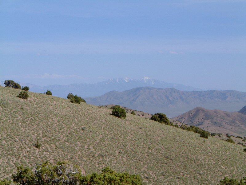
I rode clockwise, which I'd recommend. First part down Puddle Valley and to a small pass is a graded dirt road and goes fast. Graded dirt continues northwest on the western side of the range and then drops down to well below Finger Ridge. I explored higher route, also marked on the USGS map, the road forks, right fork dead ends (sort of, I did not climb higher), left fork follows a faint double track eroded heavily by spring rains back to graded road at el. 1458. The ride then is pretty fast down and north to Gravel Pits. Then turning west climbing up on a loose dirt to near the fence of the Air Force bombing range, and dropping to German Valley. The easier way here would be to follow the road southwest to Puddle Valley and then south back to the car (as Gregg Bromka suggests). I turned south at German Valley Well and climbed old rocky doubletrack up and down to another drainage. Here it joined a new graded road that leads to radio towers on one of the western hills of the range. There's one last bailout from the climb that follows about a mile later. Then another 1.5 miles of nice dirt road before a turnoff on an old rocky doubletrack with several brutal climbs on loose rocks, sandwiched with riding in quite lush (grassy) valleys. A couple of last switchbacks and one is on the top. Enjoy the views and drop down 1800 ft first on rocky dirt road through (I believe) Big Canyon, and then on smooth dirt once out of the canyon back the the car.
Most remote ride in the western desert so far, I haven't met anyone the whole day, though at the well where I parked was another car when I came back, and I saw tire tracks up Big Canyon, so, I figure someone else was out exploring that day. |