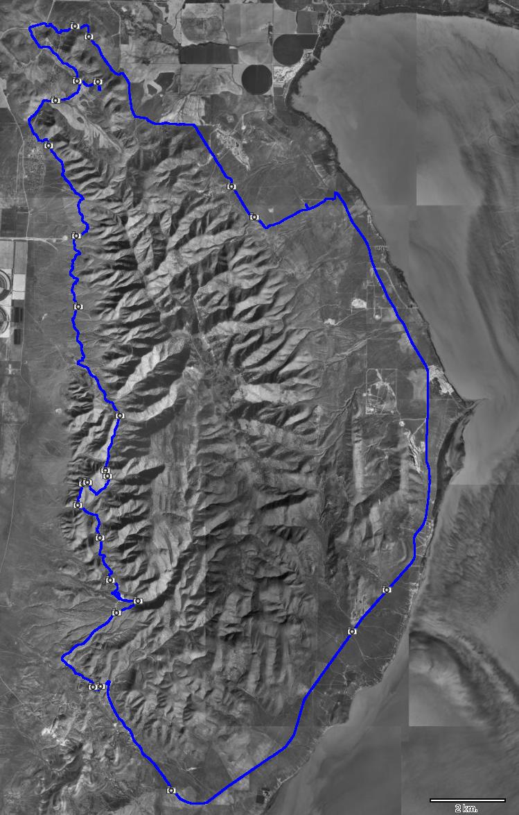
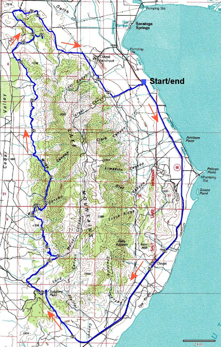
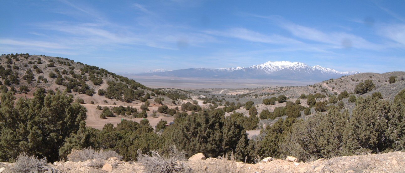
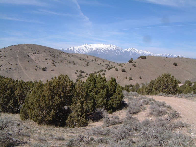
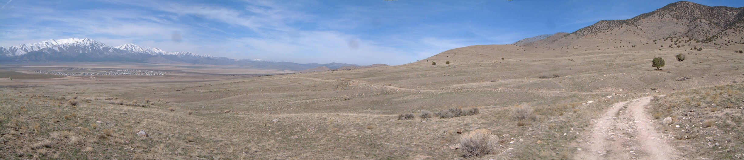
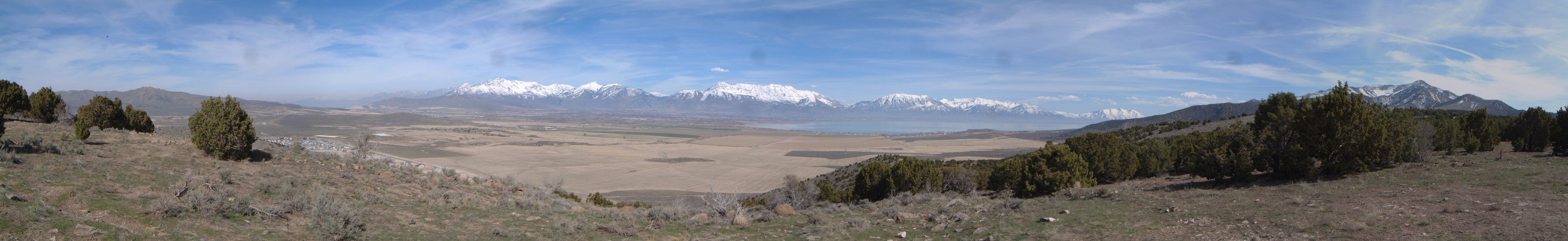
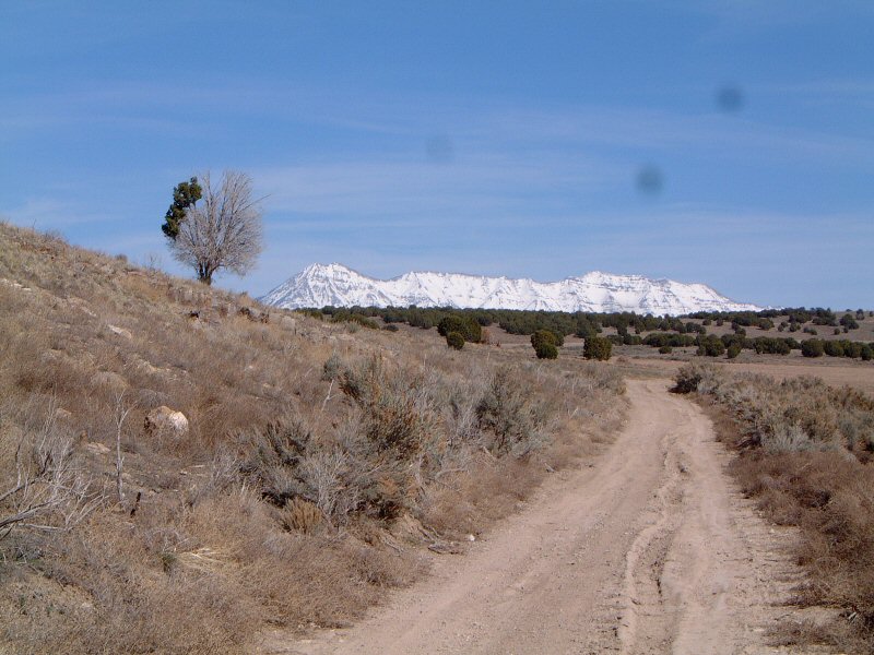
| Description: | Lake Mountains are on the west side of Utah Lake. Gregg Bromka suggests a spring ride here in his phenomenal Wasatch guide book. Although it was very warm the first spring weekend, the snow still showed up above 2000 m or so. For that reason, I did not ride up Mercer Canyon and down Israel Canyon as Gregg suggest, and instead took series of 4WD and ATV trails on the western flank of the mountains. I have seen a lot of pickups with dirt bikes and ATVs on the road part of the ride, which made me a bit worried, but, in the end, I only met a few in action, which was pretty nice. I don't recommend this ride for people with faint heart, I have heard shooting many times, hopefully every gun enthusiast was aiming away from the roads.
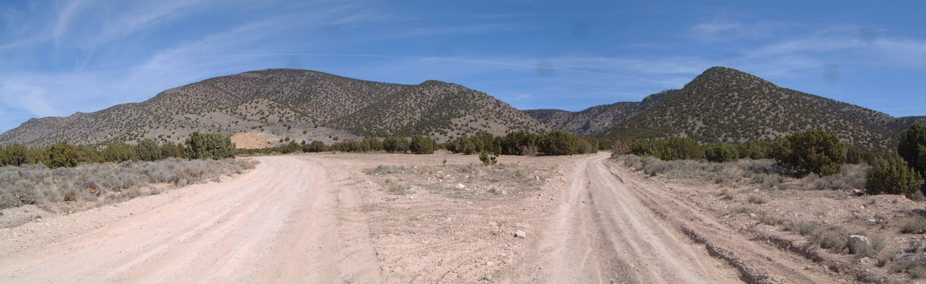
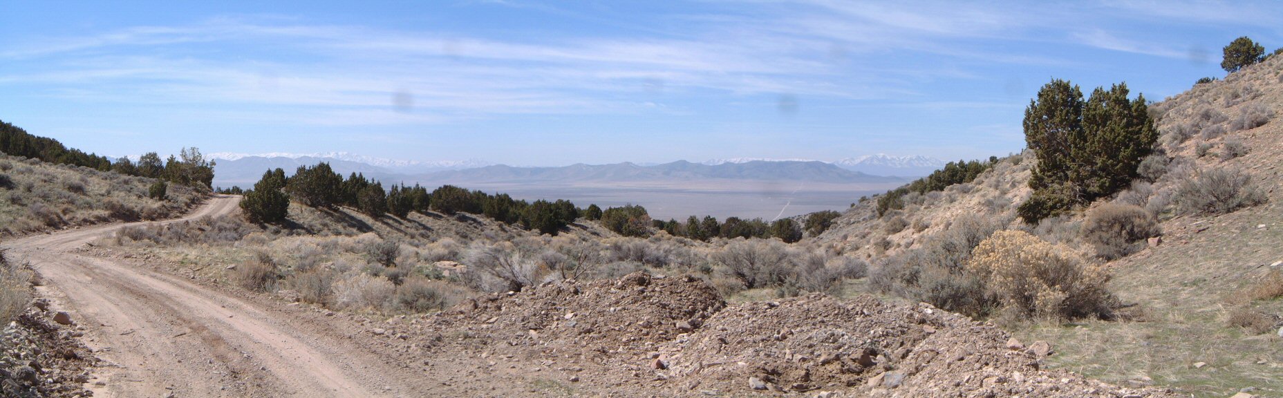
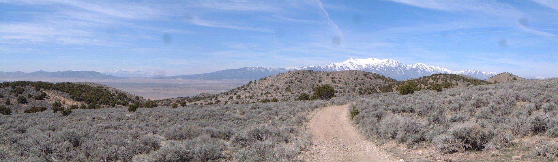
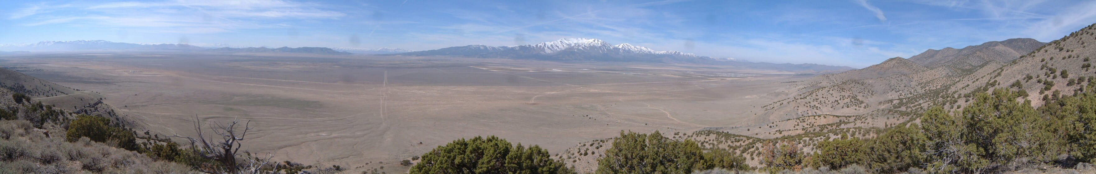
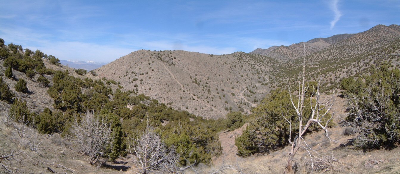
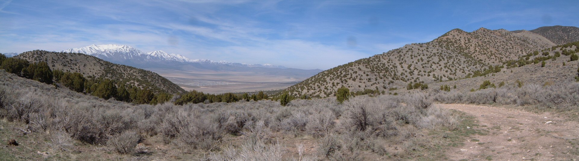
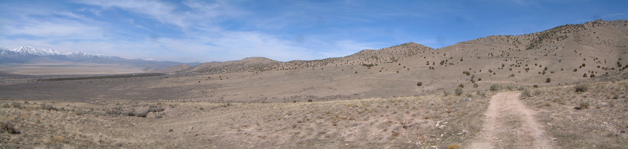
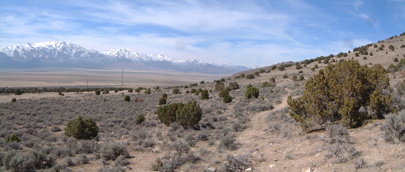
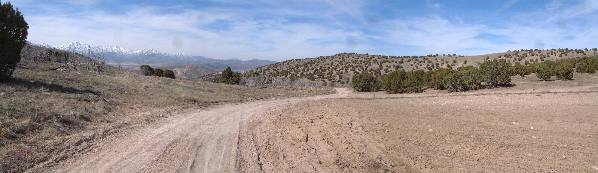
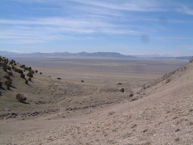
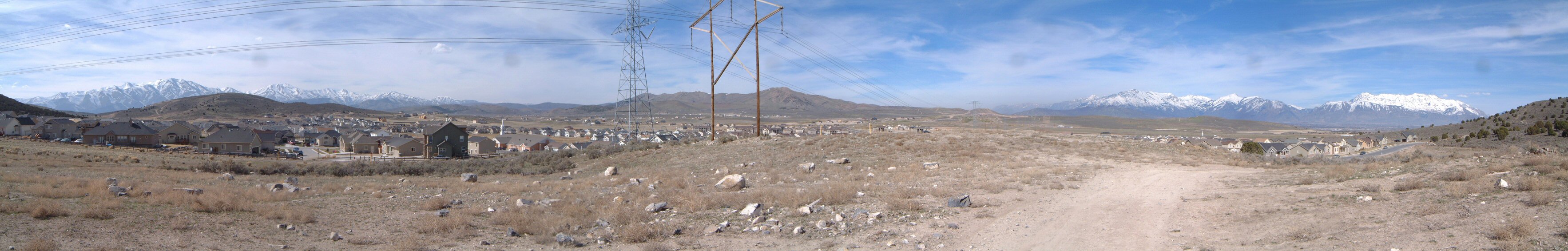
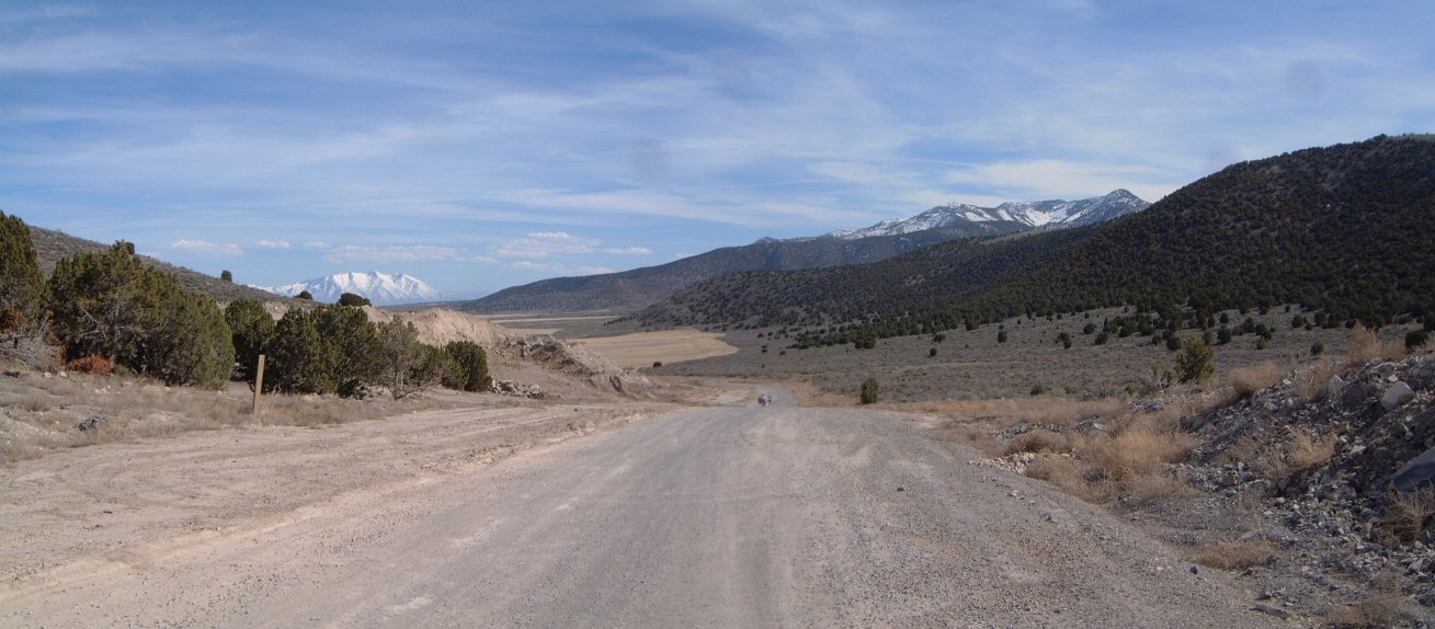
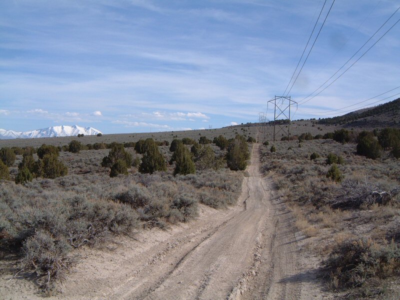
The ride starts with about 12 miles on the road, then right onto an unmarked dirt road to Soldiers Pass, from there I took the widest road which turned up to be the one leading to Mercer Canyon. Once the canyon narrowed up, I took an ATV track downhill and then followed the dirt roads marked on the USGS 100k topo map. Descending down southern fork of Wildcat Canyon, I took a steep ATV track uphill north, eventually descending back to the canyon, and followed a faint ATV track north to Wiley Canyon. I have a feeling, that this ATV track starts up somewhere off the main dirt road in Wildcat canyon. Then I continued fast on a road that parallels the western flank all the way to the power lines, past which there is a dirt road north-east, which crosses the mountain ridge, and ends up in a pass that is now a growing subdivision. A bit of urban riding felt pretty weird after spending hours in the wilderness. I found a dirt road that parallels the eastern flank and followed it, and powerlines overhead, all the way to Israel Canyon and back to the car. |