| Name: | Olmsted Loop | 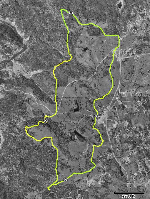
|
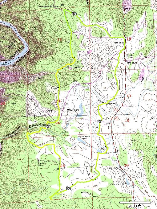
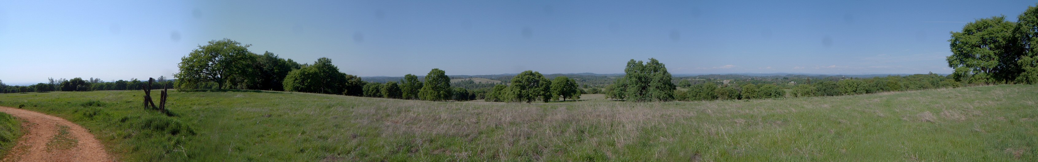
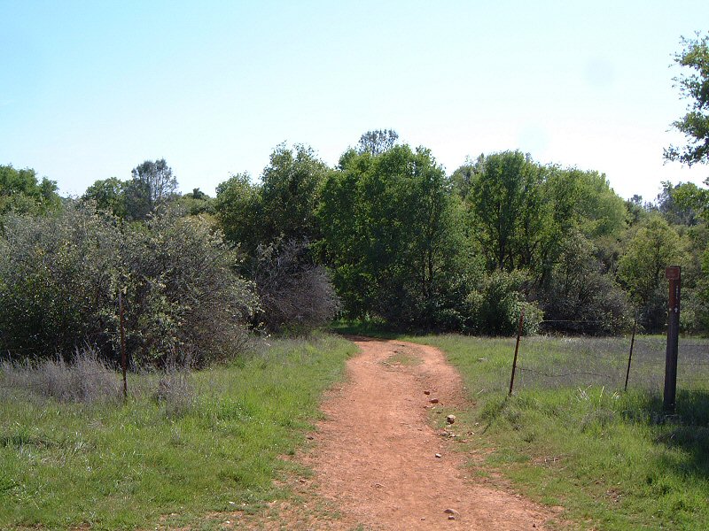
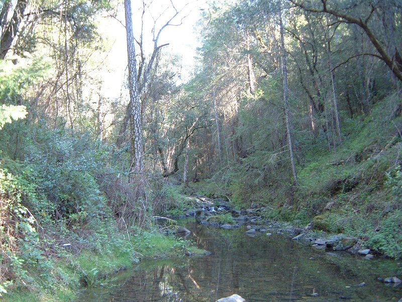
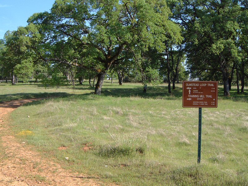
| Description: | Olmsted loop is one of several legal mountain bike areas in the Aurburn state recreation area. It's located west of a small town Cool, and is about 9 miles long. Most of the trails north of it, connecting it to Auburn are closed to bikes. The loop was quite boring, not really a singletrack, rather a wide trail and former fire roads. Another disadvantage was a large amount of horse riders on the trail. Also, there were several muddy spots on the trail, which will make the trail quite muddy ride after a rain. Definitely the last pick in the area. Forresthill Divide trails and Salmon Falls are much better. | |
| URL: | TopoFusion Home Page | |
| ||
| Trip Length: | 9.11 miles (14.66 km) |
| Total Trip Time: | 1:10:12 (1:05:50 moving time) |
| Total Climbing: | 1399 feet (426 m) |
| Total Descending: | 1391 feet (424 m) |
| Average Speed: | 8.30 mph (13.36 kph) |
 olmsted1s.jpg |
 olmsted2.jpg |
 olmsted3.jpg |
 olmsted4.jpg |