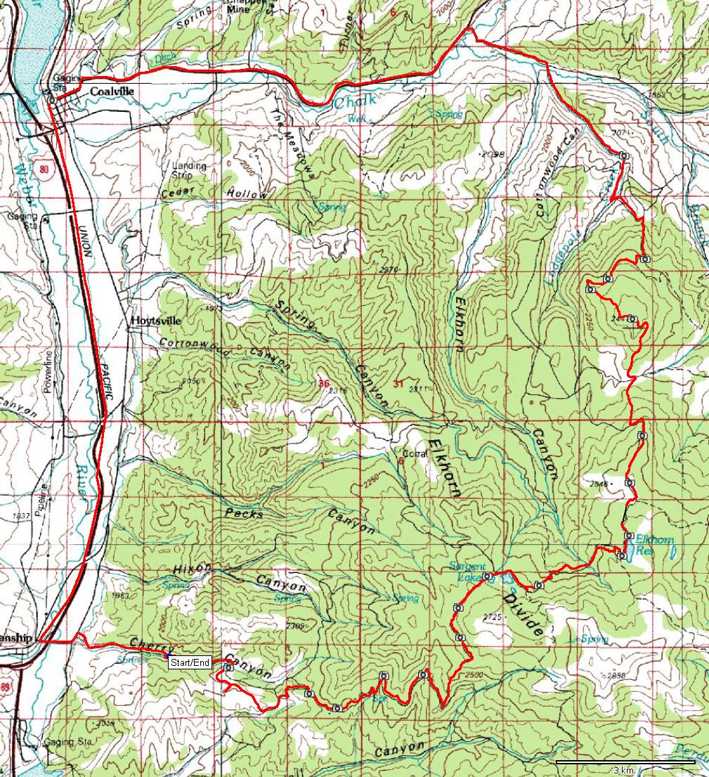
| Name: | A loop through Elkhorn Divide | 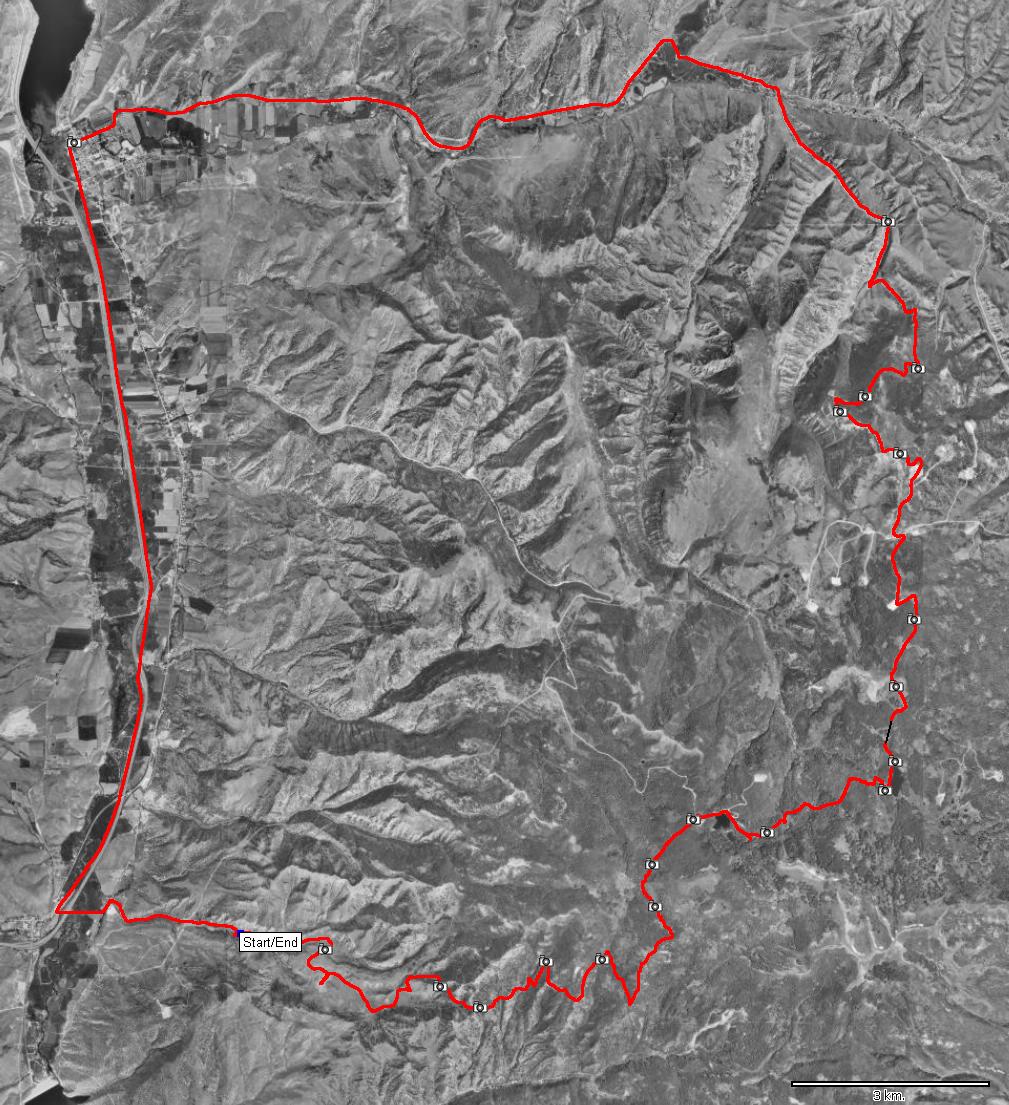
|
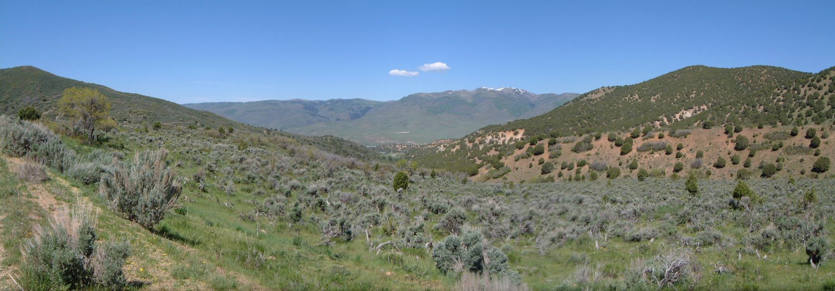
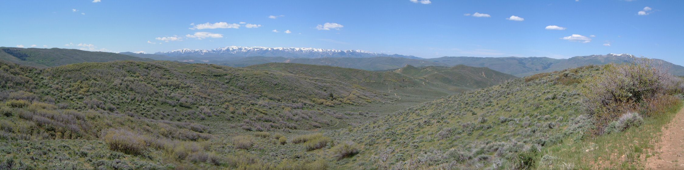
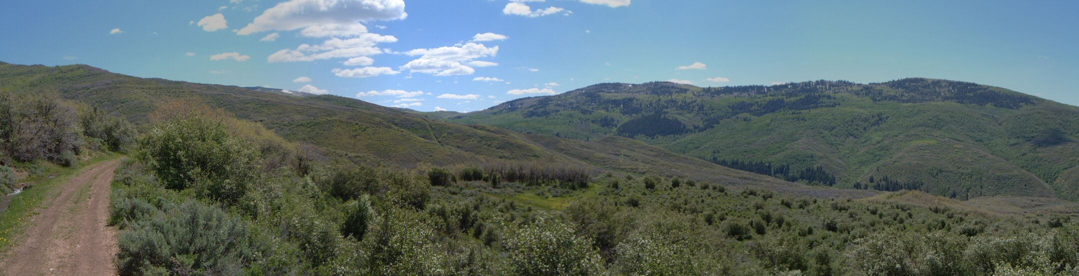
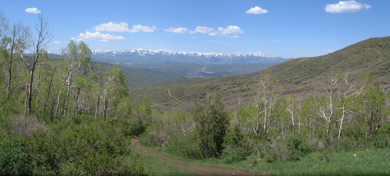
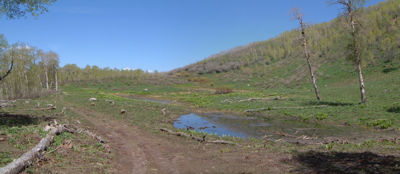
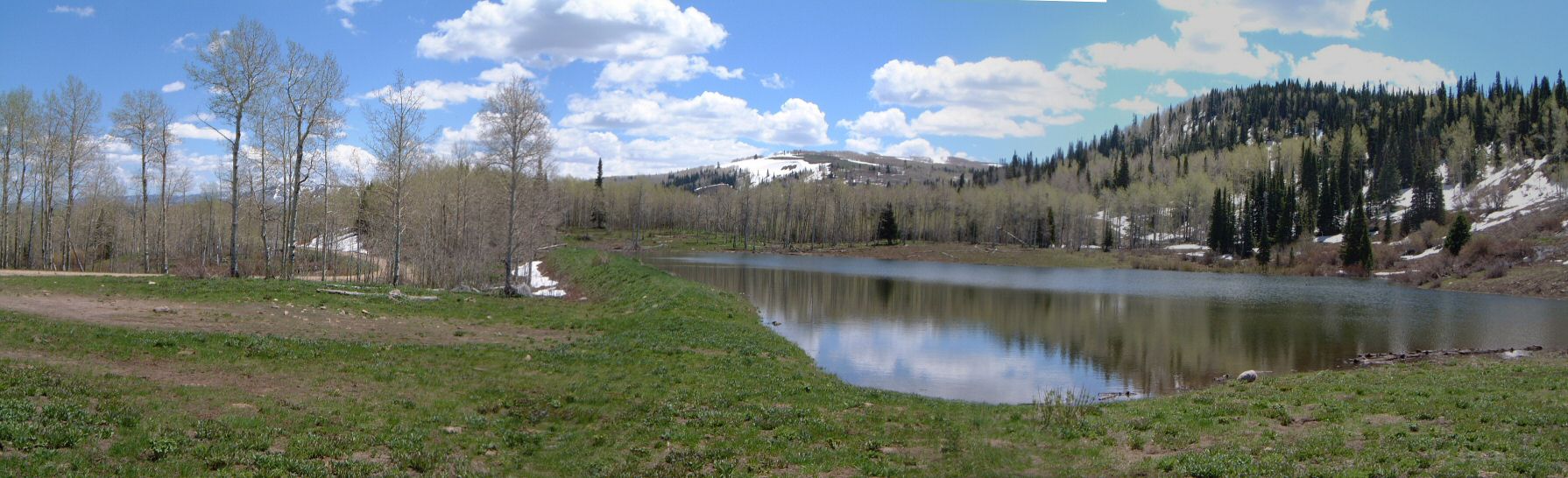
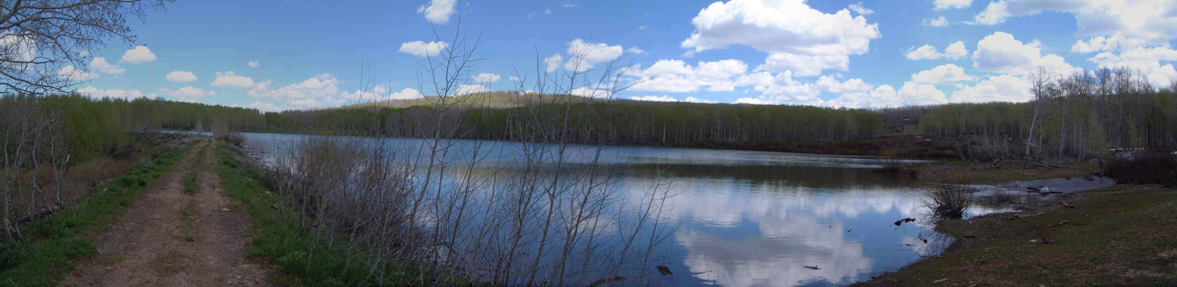
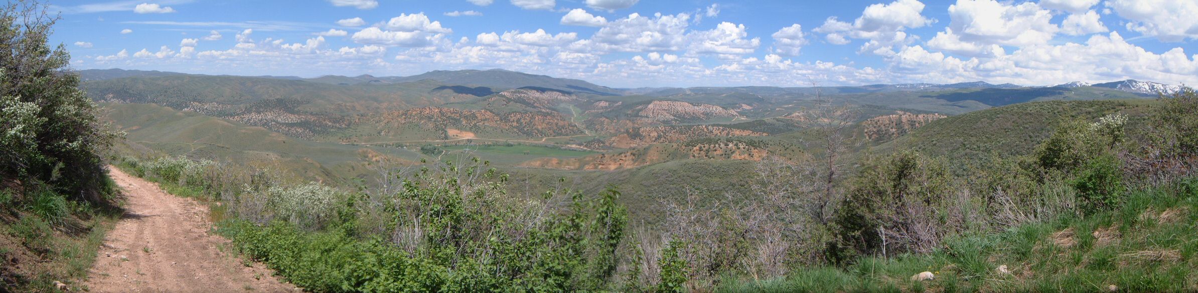
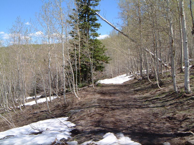
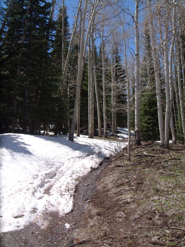
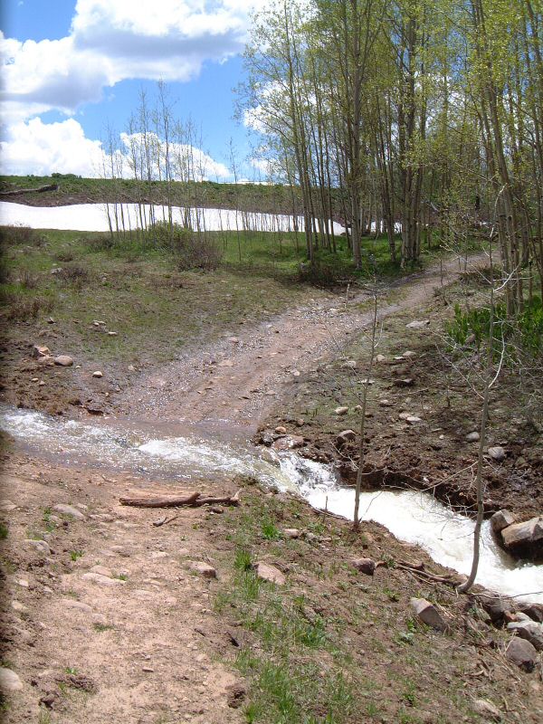
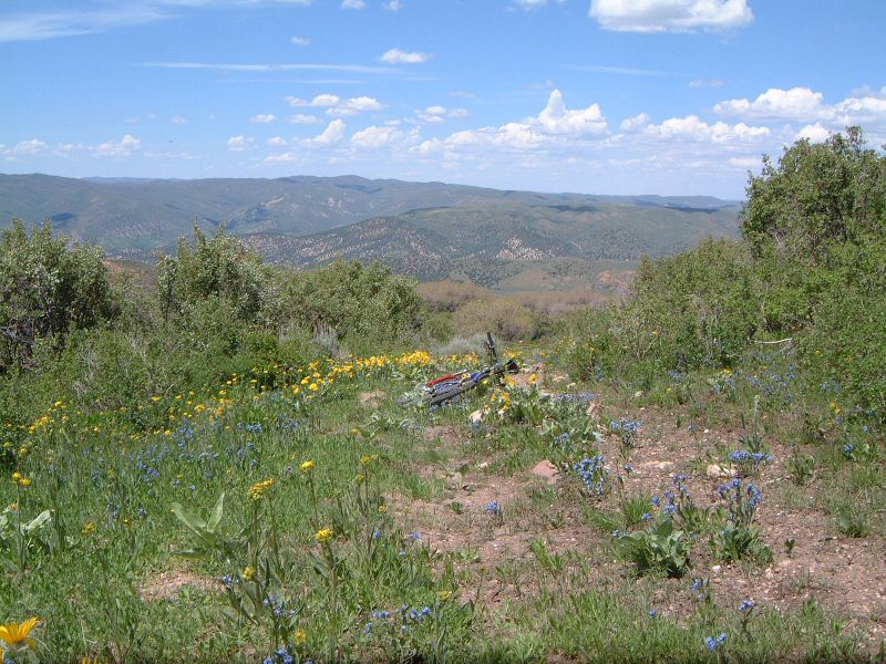
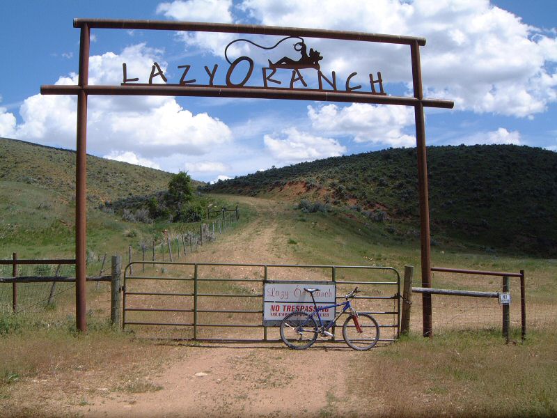
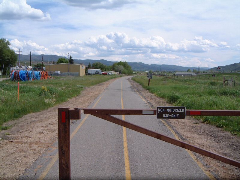
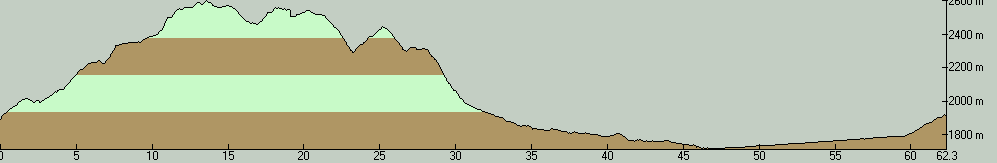
| Description: | Elkhorn Divide is a ridge east of I-80 between Wanship and Coalville. The whole area is a private property so I would not recommend to follow my footsteps. I did this ride thanks to being at 1st Annual Czech Potluck that took place in Cherry Canyon. From our festivity site I rode up a well used dirt road (below us was another festive site full of ATVers). Fortunately, I met only a few during the climb which meant that I did not get dusted much. The climb was mostly gradual but there were several steep pitches. The last part to a saddle just below 8400 ft. was quite brutal. The north side of this relatively flat saddle was covered with snow patches and creeks running through the trail. Descent to Sargent Lake was quite muddy too, as well as parts of the road to Elkhorn Res. There were also numerous creek crossings, I managed to fell into one of them with one foot - this meant riding with wet shoe - not too comfortable. The last hurdle was roaring creek running out of Elkhorn Res. - it took me a while to find a place where I could jump across. Then followed a rattling descent on a dir t road and ascent to peak 244x m, which was not where I intended to go originally but it added a good adventure part to the whole ride - half of the ride down was on a not too much used ATV track. After another rattling descent I found myself near Lazy-O Ranch, hopped over two locked gates and got onto Chalk Creek Road. I rode that to Coalville against nasty headwind and then on bumpy Rail Trail (horses and cow herds created quite a mess), now with tailwind, to Wanship and back to the campsite. Overall a good exploratory ride, this area has potential but it's all private so it's probably not too good of an idea to ride there without a permission. | |
| URL: | TopoFusion Home Page | |
| ||
| ||
| Total Distance: | 38.74 miles (62.34 km) |
| Total Trip Time: | 5:27:16 (4:34:47 moving time) |
| Total Climbing: | 5373 feet (1638 m) |
| Total Descending: | 5280 feet (1609 m) |
| Average Speed: | 8.46 mph (13.61 kph) |