| Name: | Little Creek Mountain | 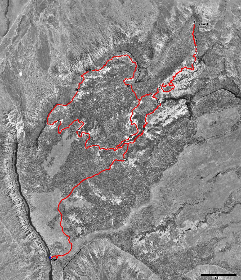
|
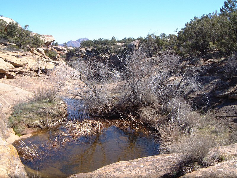
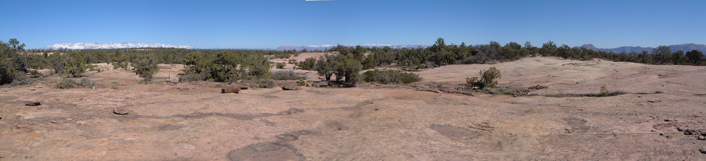
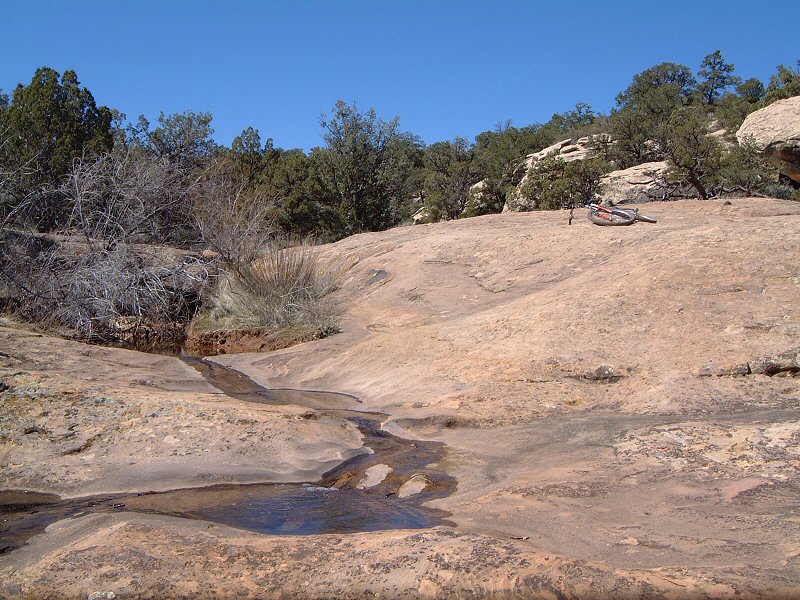
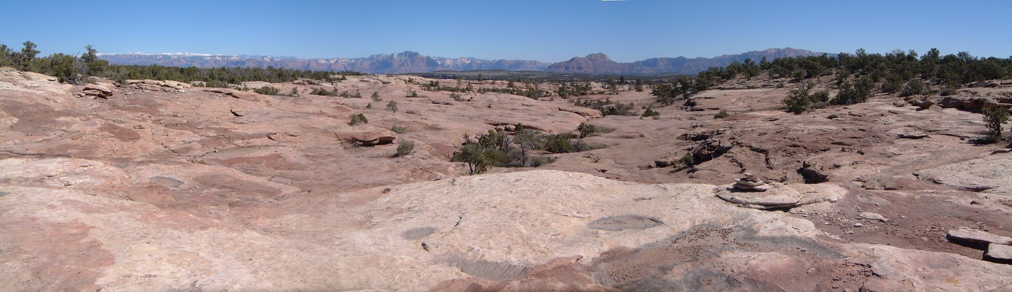
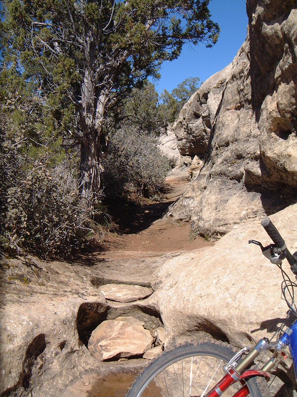
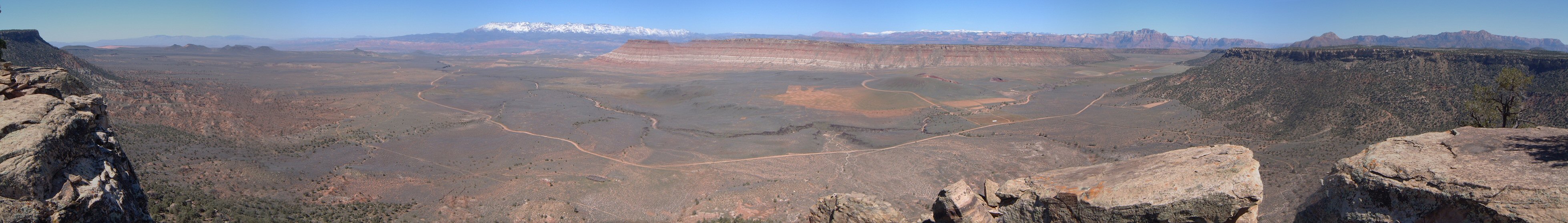
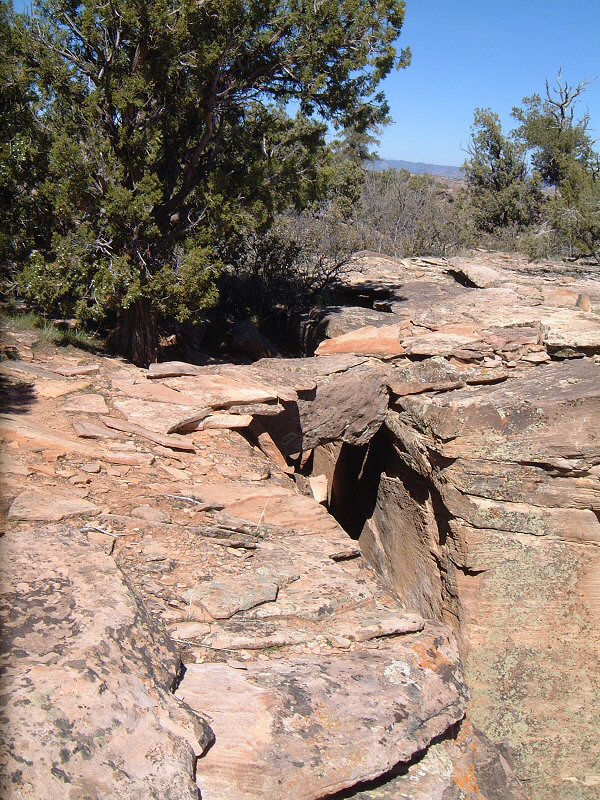
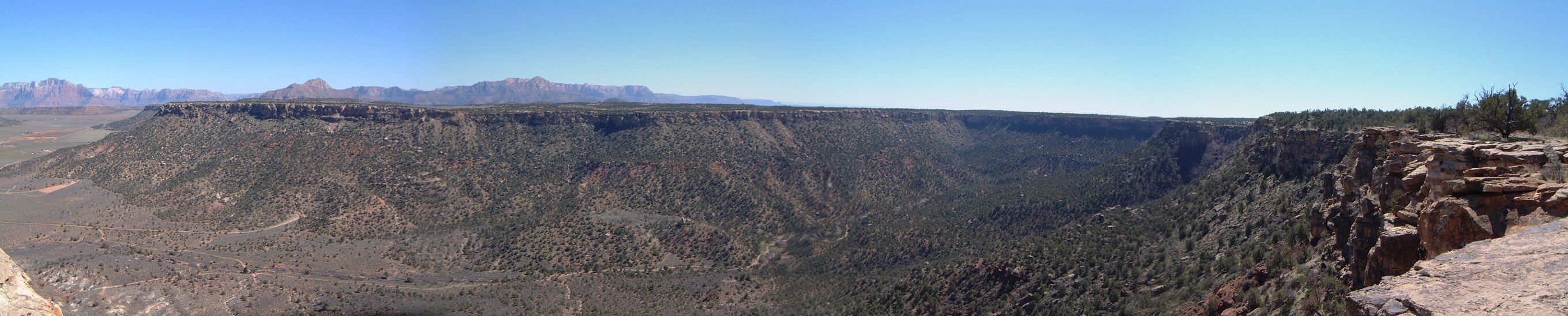
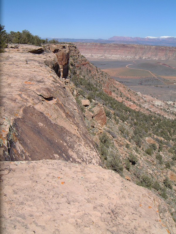
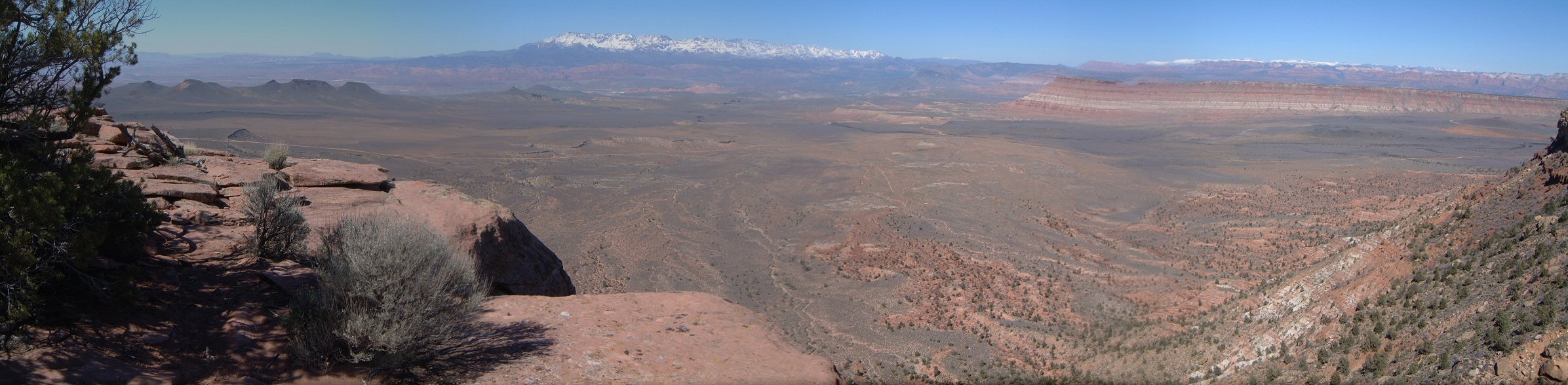
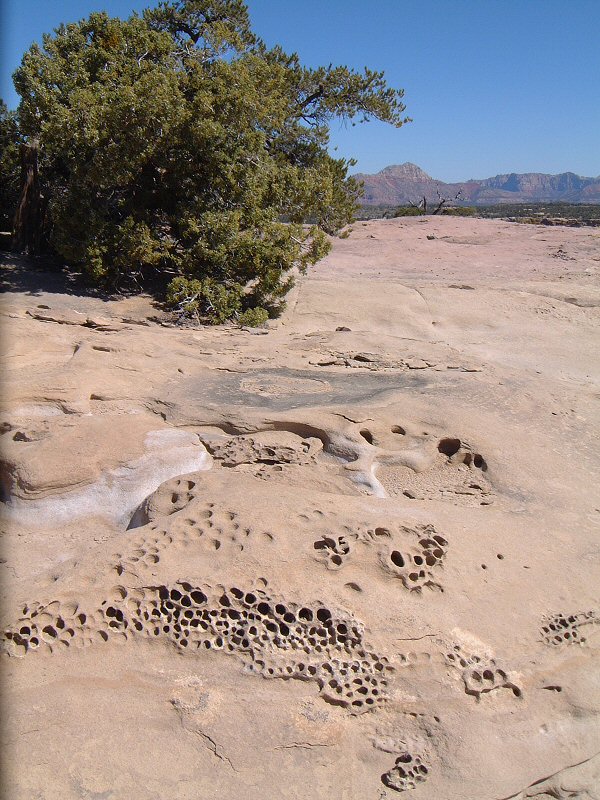
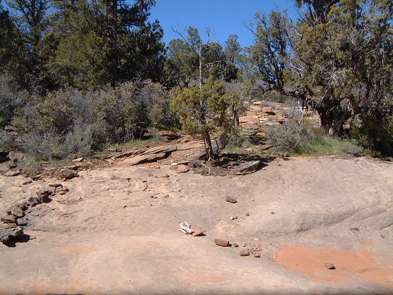
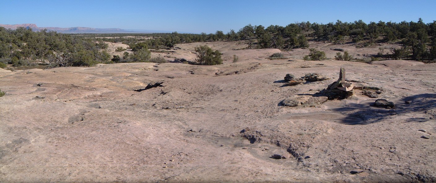
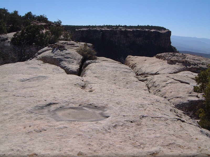
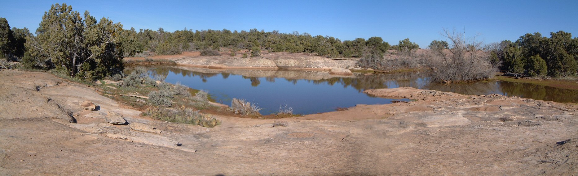
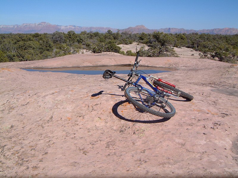
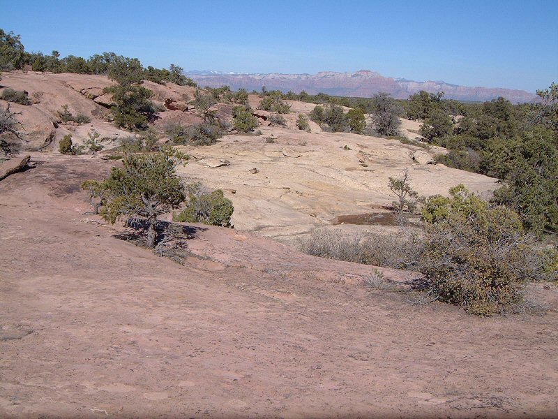
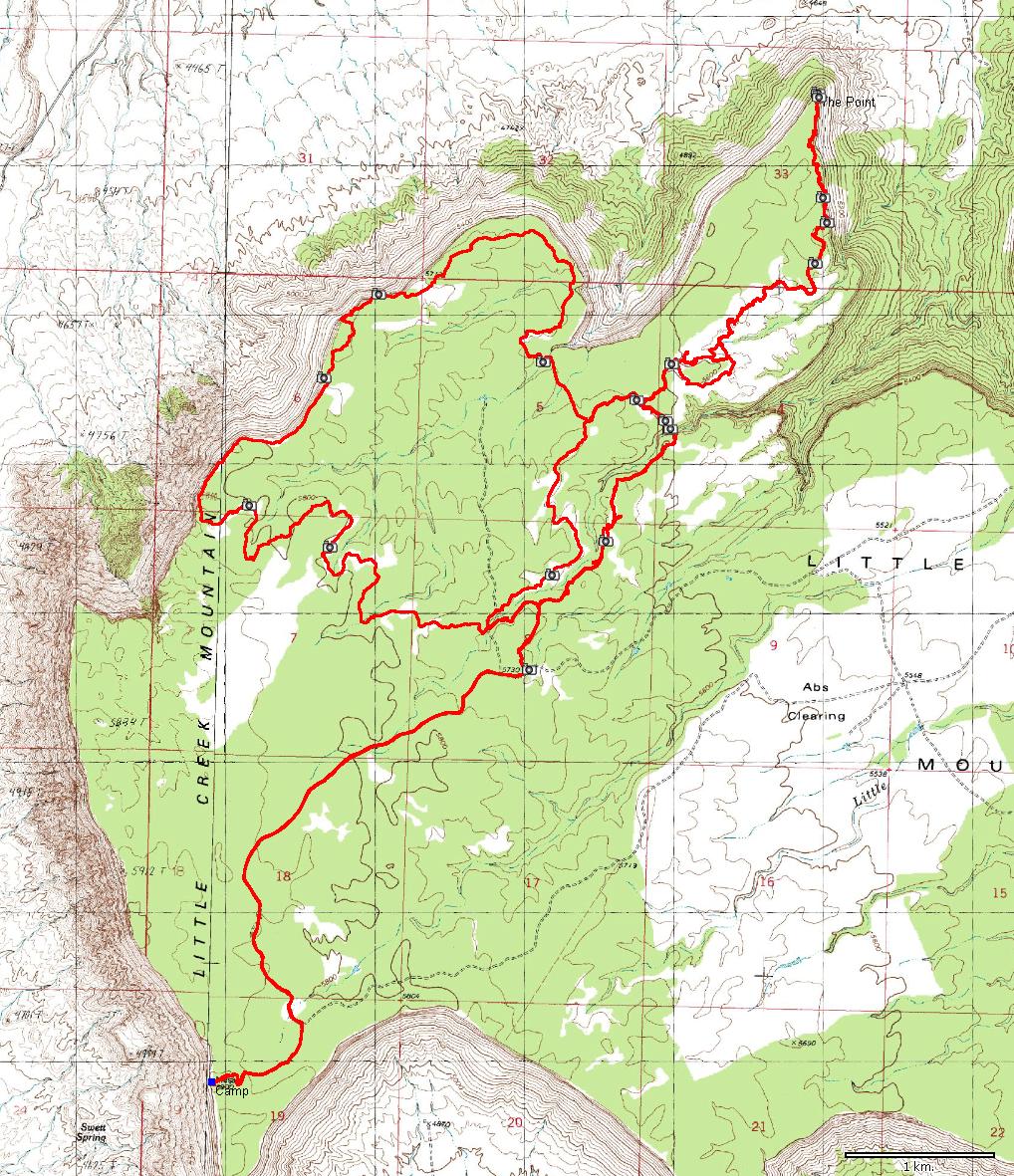
| Description: | LCM is a mesa south of Gooseberry, and is quite similar to it. Locals have built a figure 8 loop here which is currently (2005) under BLM assessment for opening as MTB trail. Supposedly, those who know the area can use the trail during the period but not put any new trail markers. That said, orientation here can be sketchy, even with a map. There are cairns and tire marks, that's it. So, I would not recommend this for person unfamiliar with the area. I camped at my favorite spot on the southwestern mesa rim. Rode from there to the trailhead and then did the main loop counterclockwise, with detour to the Point, the last section of which was very nice. Then I rode the smaller loop clockwise and returned to the campsite. This took me all day. A lot was looking for the next cairn, I took a couple of breaks on the rims to get the views and make a phone call home (there is cell phone coverage right on the rim, not anywhere else). | |
| URL: | TopoFusion Home Page | |
| ||
| ||
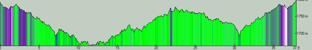
| Total Distance: | 23.58 miles (37.95 km) |
| Total Trip Time: | 6:04:16 (4:18:19 moving time) |
| Total Climbing: | 2996 feet (913 m) |
| Total Descending: | 2998 feet (914 m) |
| Average Speed: | 5.48 mph (8.81 kph) |