| Name: | First tandem ride on Colorado Springs trails | 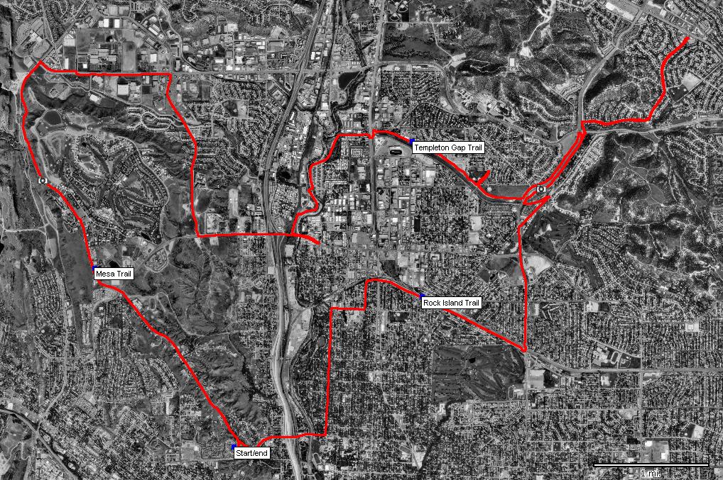
|
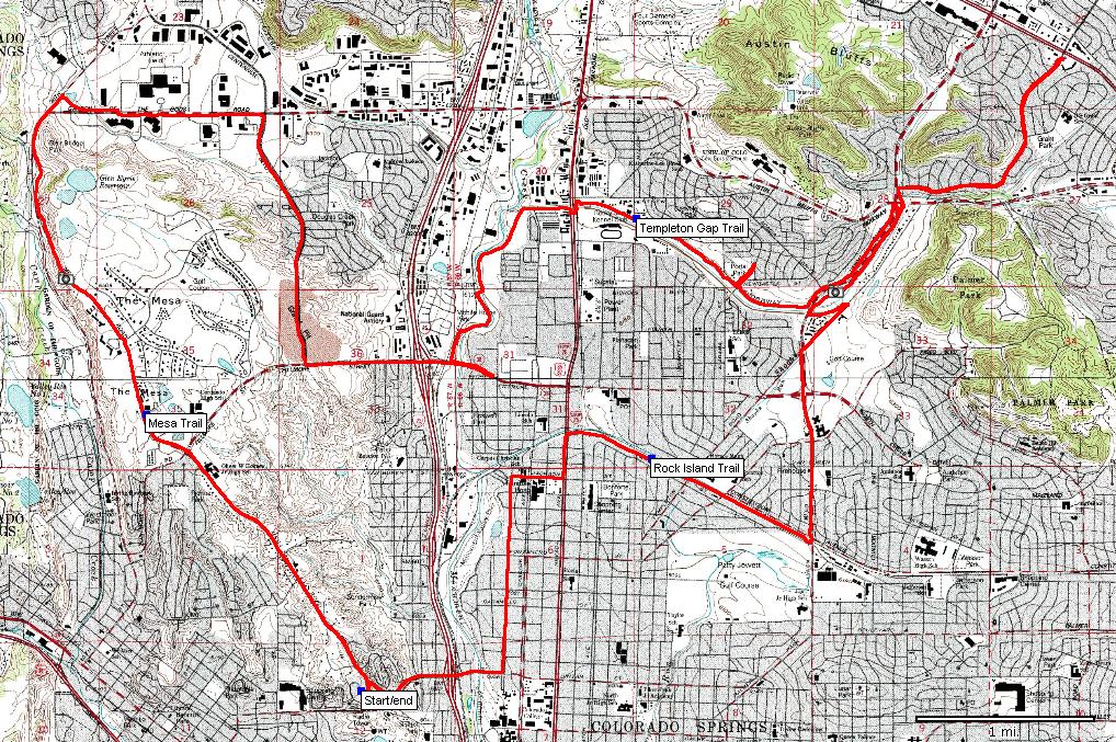
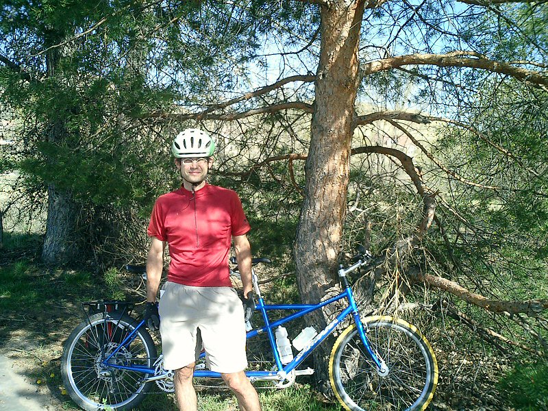
| Description: | Colorado Springs has a pretty decent network of urban multi-use trails. The first ride we planned was in the west-east direction. We took Mesa trail from Andy and Beth's house. Then we failed to find Sinton trail, so, we rode on the road for a while, then on bike line down to the main Fountain Creek trail. Then we took Templeton Gap trail, which was semi-hard to follow due to several road crossing and construction here and there. We ended up on bike line that lead to Academy Blvd. Having enough, we turned around and after some route finding found access to Rock Island trail. That one also ended on Nevada Ave, so, we followed that and few other local roads back to Uinta Rd. and back to the house. Overall, a more-less fiasco ride since the plan was to ride all the way on the trails, and, instead, we spent at least 1/2 of the time on roads, often b usy. The trail system in Colorado Springs seems to be done on the budget, which is good since they can get more done for less, but, some more signage would probably be good to help out-of-towners like us. | |
| URL: | TopoFusion Home Page | |
| ||
| ||
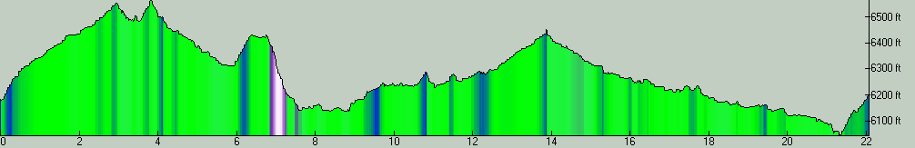
| Total Distance: | 22.08 miles (35.53 km) |
| Total Trip Time: | 2:36:52 (2:12:40 moving time) |
| Total Climbing: | 1640 feet (500 m) |
| Total Descending: | 1642 feet (500 m) |
| Average Speed: | 9.99 mph (16.07 kph) |
 CIMG0002.JPG |
 CIMG0003.JPG |