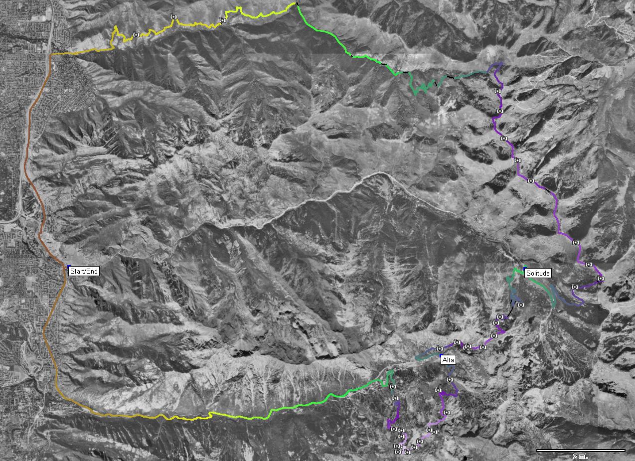
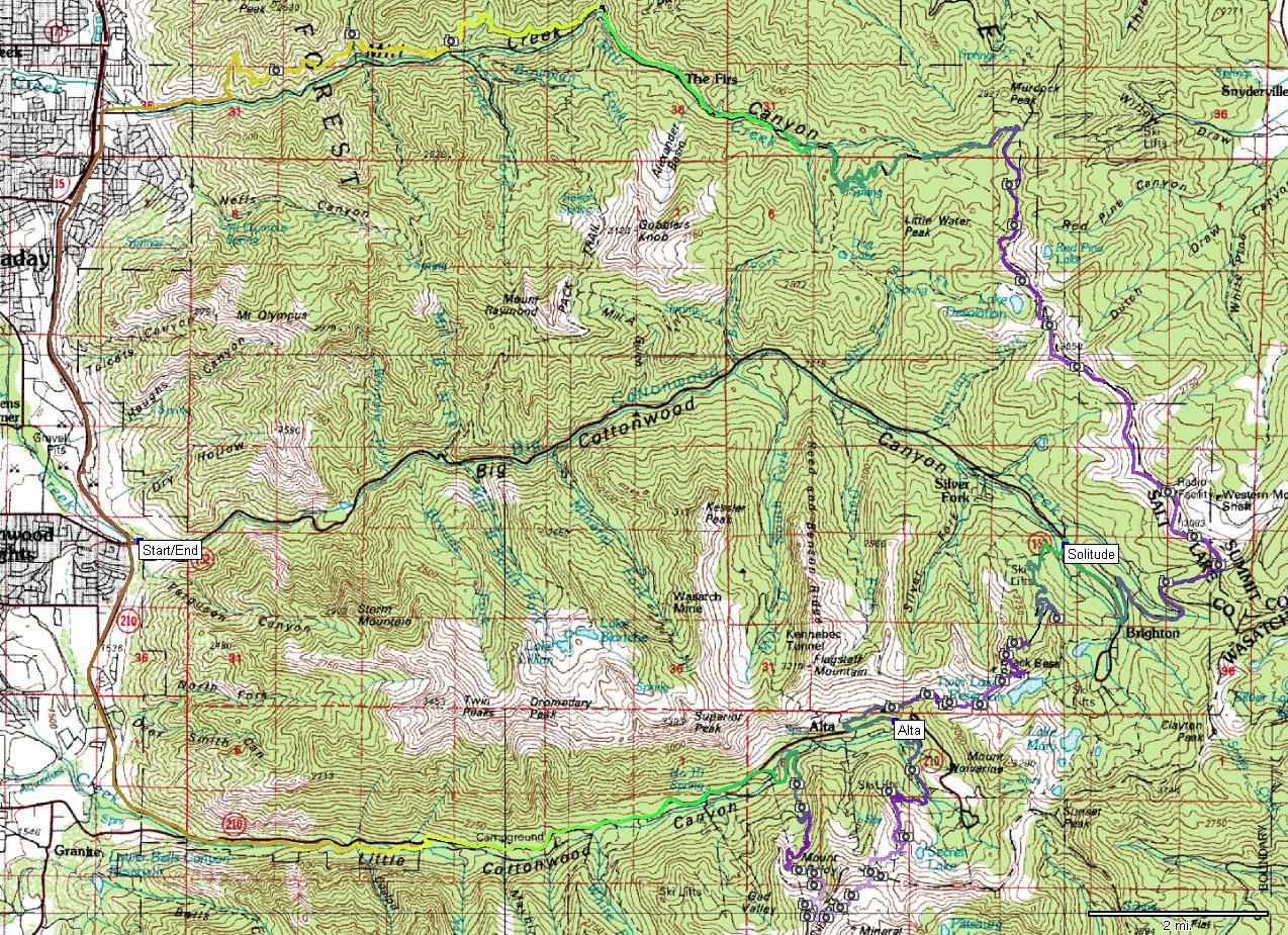
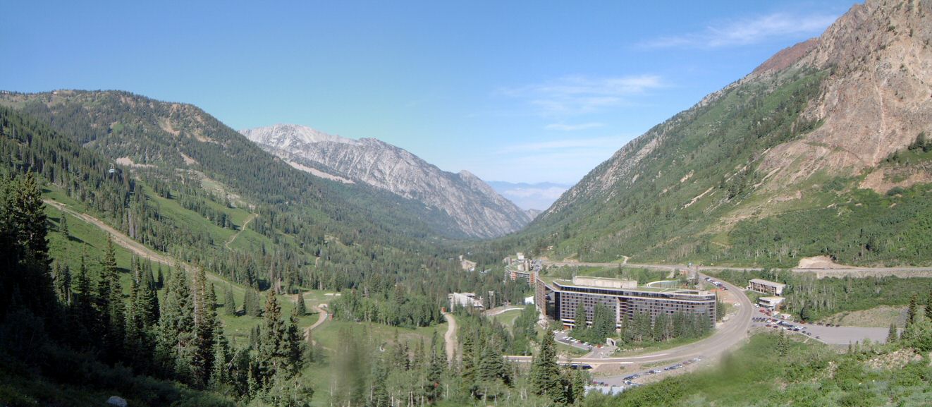
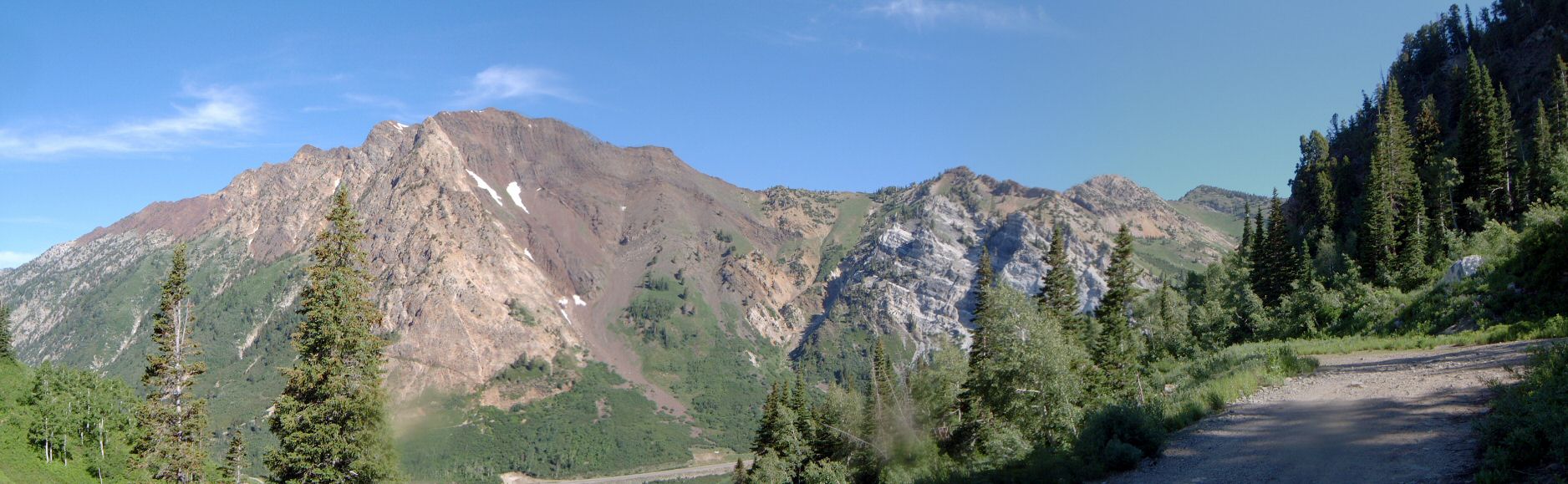
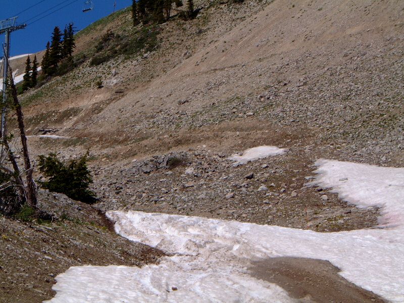
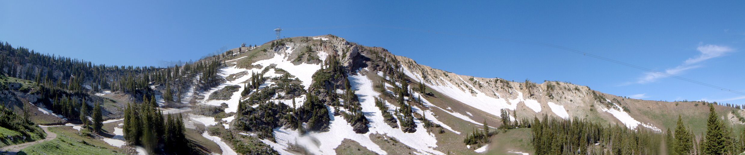
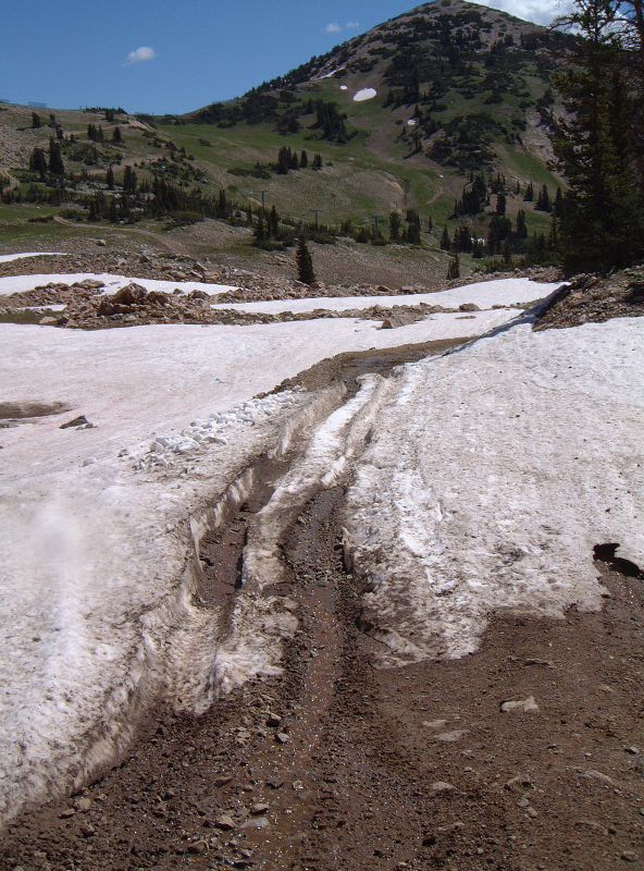
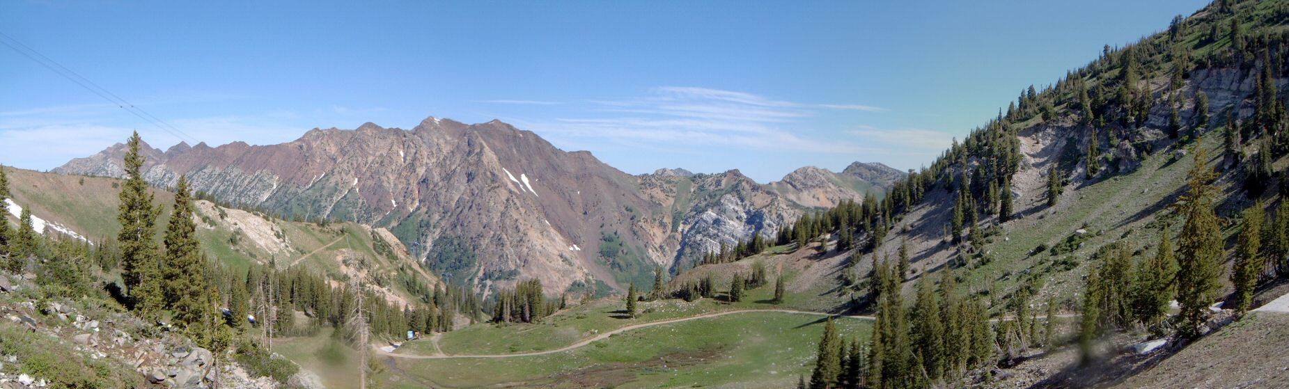
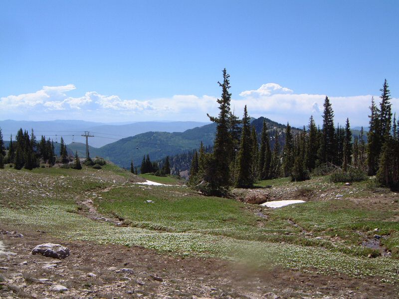
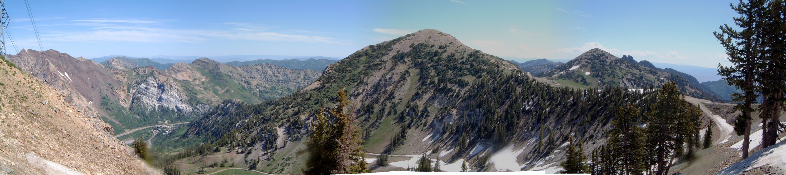
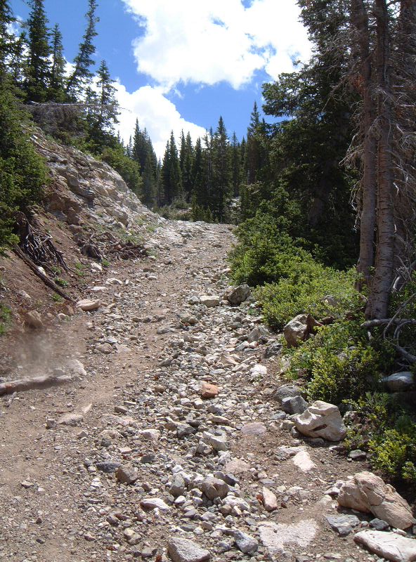
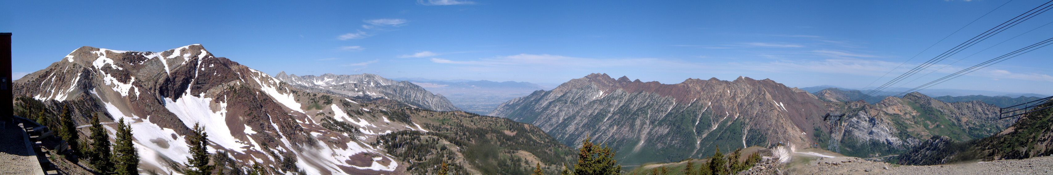
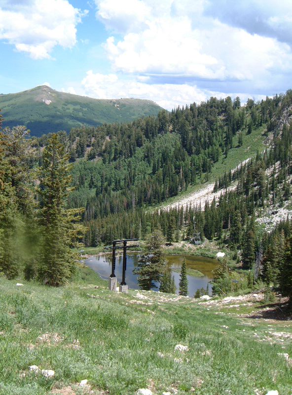
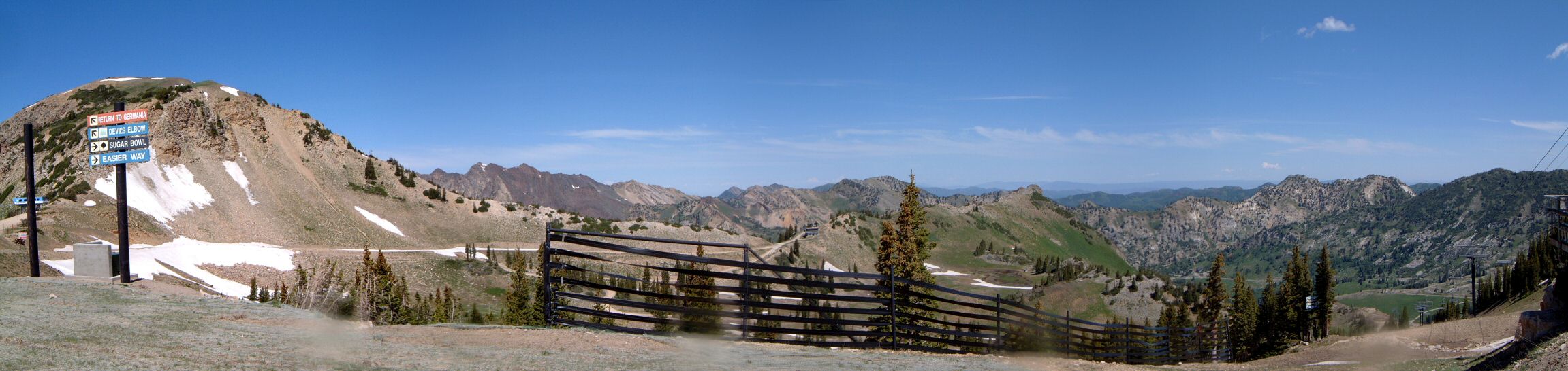
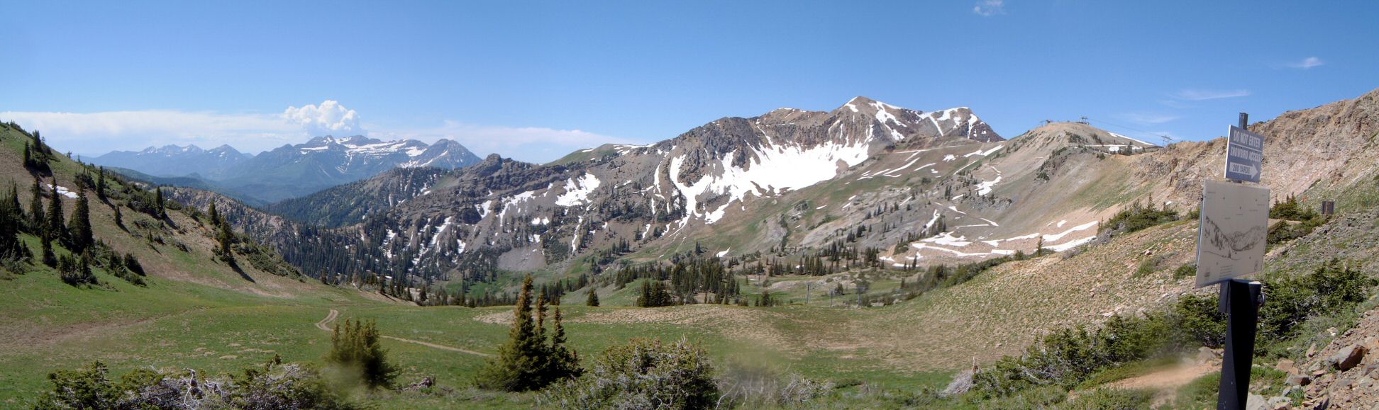
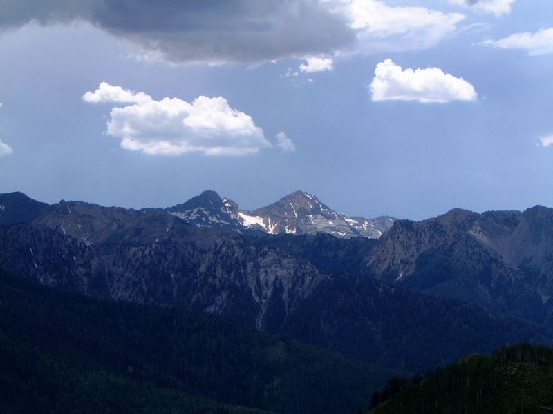
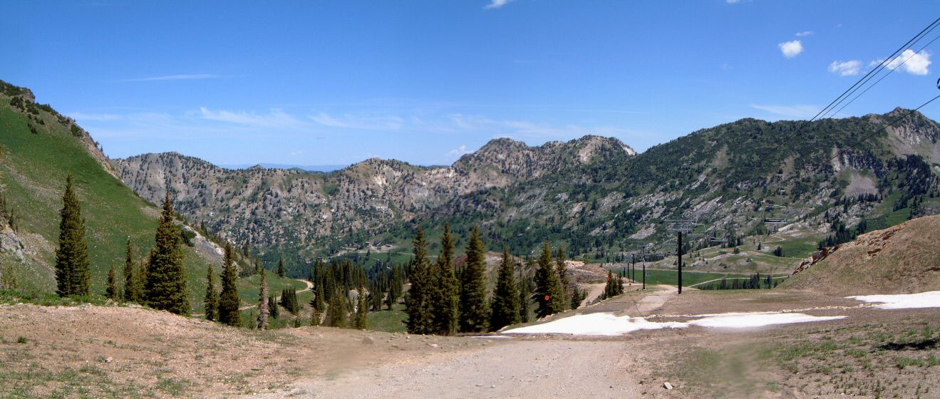
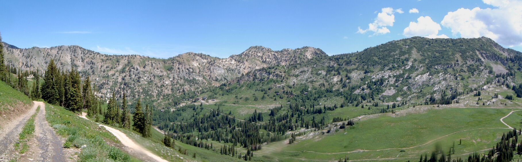
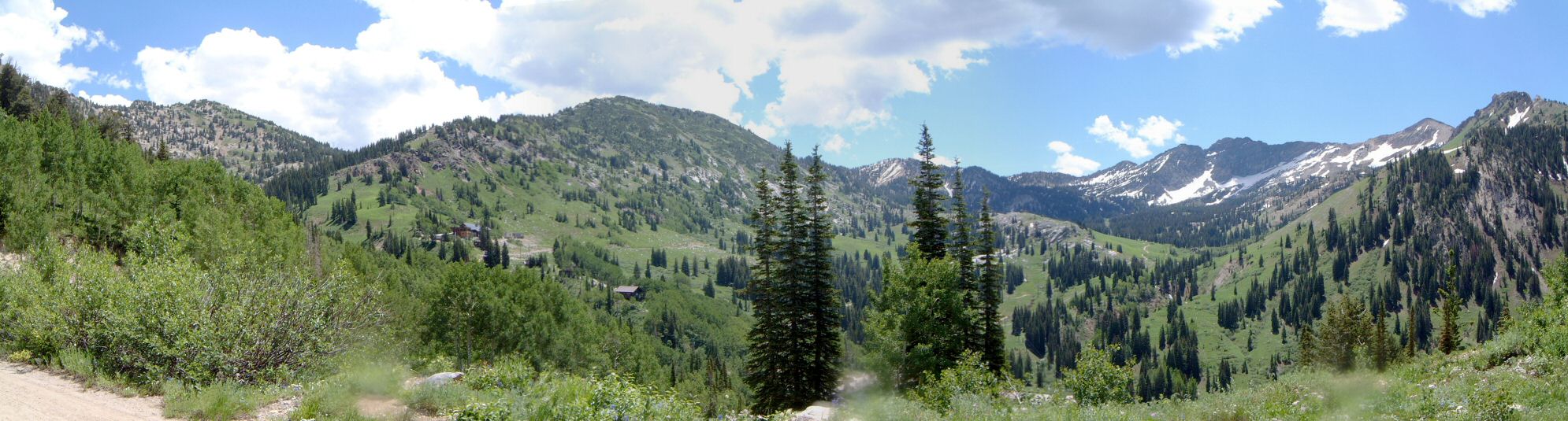
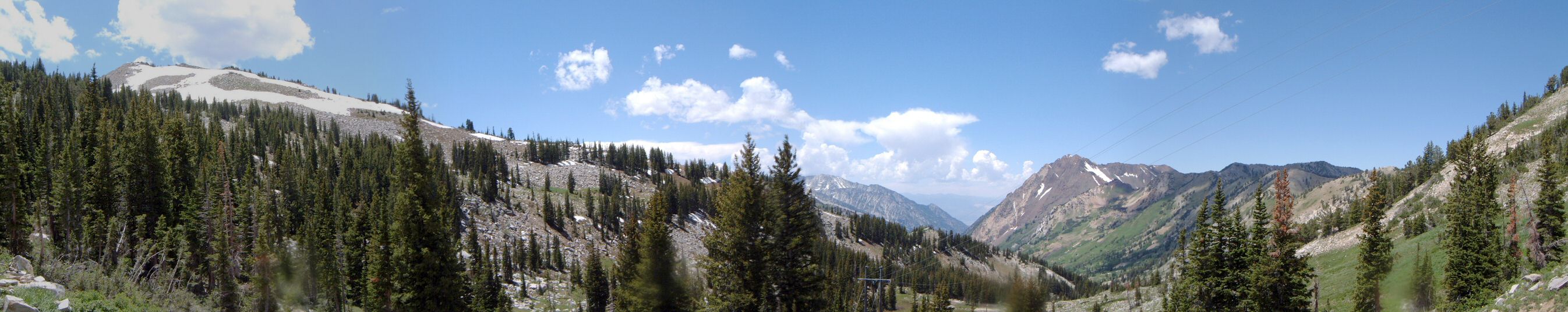
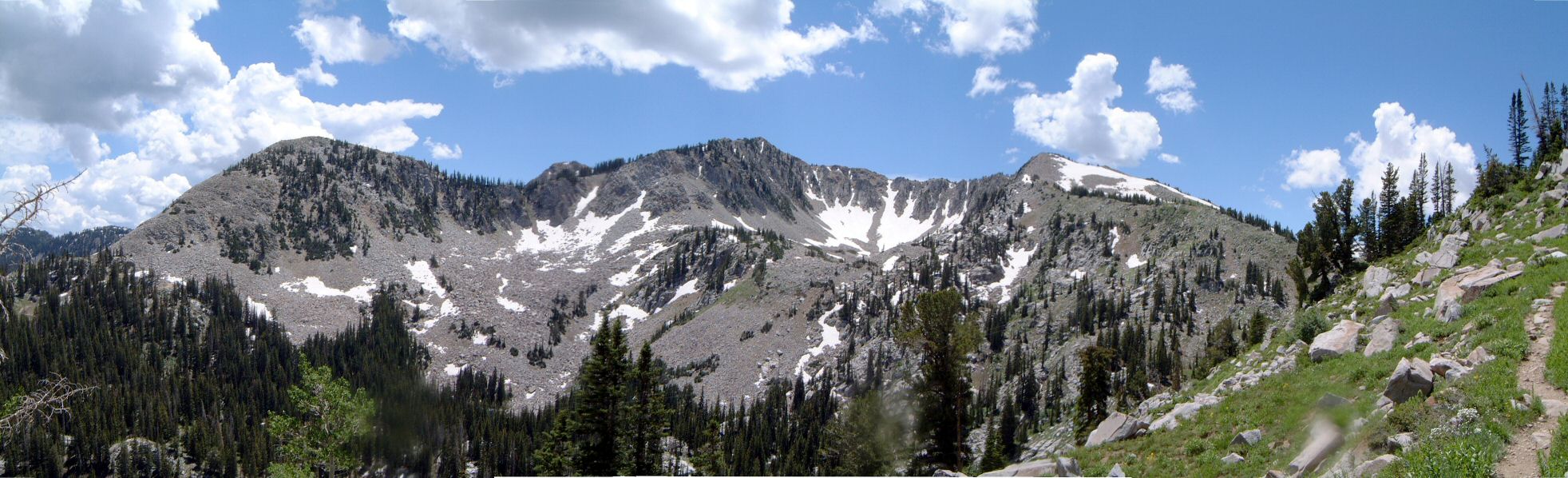
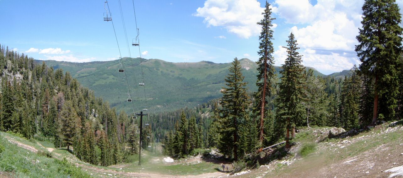
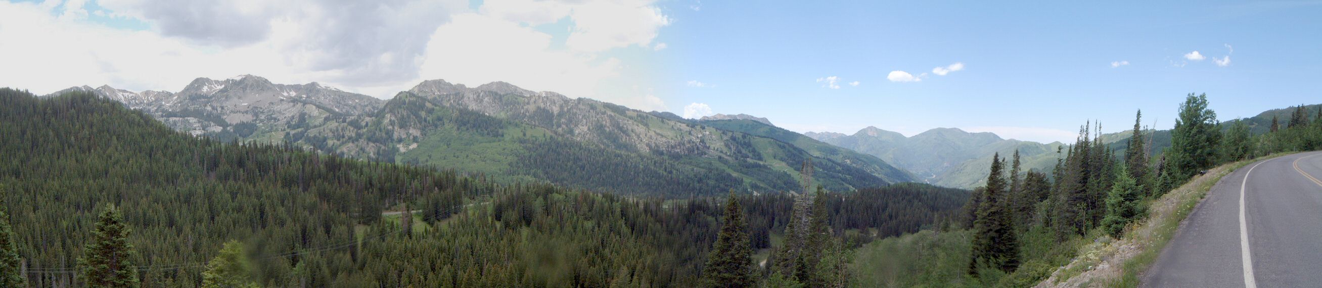
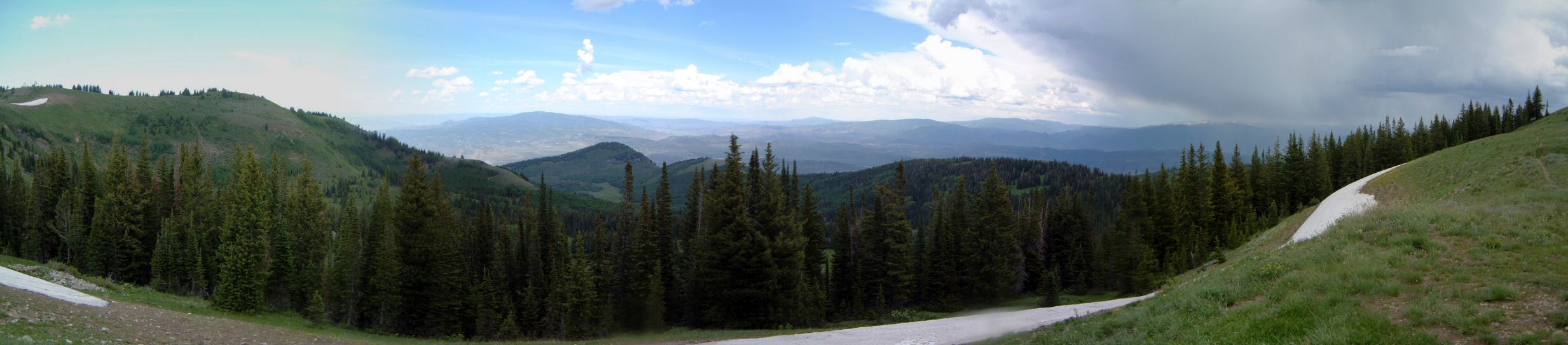
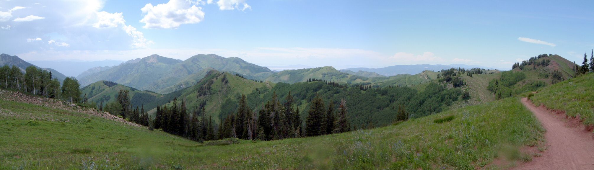
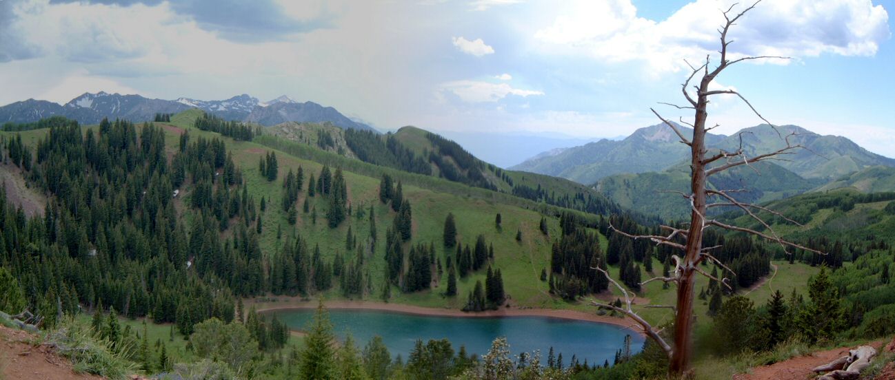
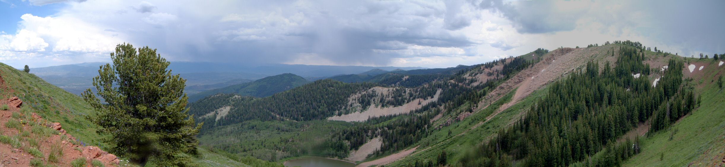
Three canyons, six ski resorts Wasatch epic


6res01.jpg 6res01s.jpg 6res02.jpg 6res02s.jpg 6res03.jpg 6res03s.jpg 6res04.jpg 6res04s.jpg 6res05.jpg 6res05s.jpg 6res06.jpg 6res06s.jpg 6res07.jpg 6res07s.jpg 6res08.jpg 6res08s.jpg 6res09.jpg 6res09s.jpg 6res10.jpg 6res10s.jpg 6res11.jpg 6res11s.jpg 6res12.jpg 6res12s.jpg 6res13s.jpg 6res14s.jpg 6res15s.jpg 6res16s.jpg 6res17s.jpg 6res18s.jpg 6res19s.jpg 6res20s.jpg 6res21s.jpg 6res22s.jpg 6res23s.jpg 6res24s.jpg 6res25s.jpg 6res26s.jpg 6res27s.jpg
Name:Three canyons, six ski resorts Wasatch epic
Description:One of the ultimate epic rides in the Wasatch. Started at the bottom of Big Cottonwood, rode to Little Cottonwood, up LC Pipeline, then the road to Snowbird, and on lift service roads to Hidden Peak. Upper bowl was still snowed in, the snow stayed long this year, so, had to do some walking on the snow. I was already getting tired on top of HP, but, things changed to better after I started descending. I was suprised to see an array of ATVs lined up on top of Hidden Peak. Guess Snowbird is trying anything they can to attract summer visitors. The ATVs already started going up HP from Mineral Basin and it shows on the lift road (erosion). Then a bit down to Mineral Basin and up to Sugarloaf Pass. From here down to Alta, it was wet with occasional snow to about 10000 ft. Had a lunch at the kiosk in Alta and then up Grizzly Gulch to Twin Lakes Pass. It was not as hard as I thought, except for one steep rocky section. Then down to Solitude, first on lift road, then on singletrack - I prefer it this way than to descend to Brighton just on lift roads. Another short rest stop at Solitude and then up the road to Wasatch Crest. There were storms south of BC ridge and east of the Crest. Rode the crest all the way to Millcreek, then down the road and MC Pipeline. The Pipeline was really nice since I met only two people on the whole trail. Finally return to bottom of BC on Wasatch Blvd.
URL:TopoFusion Home Page
Trip Length:60.80 miles (97.83 km, computer 98.5 km)
Total Trip Time:9:35:54 (8:00:01 moving time, computer 7:23:58)
Total Climbing:11058 feet (3370 m, computer 2933 m )
Total Descending:11658 feet (3554 m)
Average Speed:7.60 mph (12.23 kph, computer 13.3 kph)
Computer data are skewed a bit because it did not count walking on the snow, while GPS had hard time in the trees. So, I estimate the ride length to 100 km and climbing to a bit over 3000 m.
6res01.jpg
6res01.jpg
6res01s.jpg
6res01s.jpg
6res02.jpg
6res02.jpg
6res02s.jpg
6res02s.jpg
6res03.jpg
6res03.jpg
6res03s.jpg
6res03s.jpg
6res04.jpg
6res04.jpg
6res04s.jpg
6res04s.jpg
6res05.jpg
6res05.jpg
6res05s.jpg
6res05s.jpg
6res06.jpg
6res06.jpg
6res06s.jpg
6res06s.jpg
6res07.jpg
6res07.jpg
6res07s.jpg
6res07s.jpg
6res08.jpg
6res08.jpg
6res08s.jpg
6res08s.jpg
6res09.jpg
6res09.jpg
6res09s.jpg
6res09s.jpg
6res10.jpg
6res10.jpg
6res10s.jpg
6res10s.jpg
6res11.jpg
6res11.jpg
6res11s.jpg
6res11s.jpg
6res12.jpg
6res12.jpg
6res12s.jpg
6res12s.jpg
6res13s.jpg
6res13s.jpg
6res14s.jpg
6res14s.jpg
6res15s.jpg
6res15s.jpg
6res16s.jpg
6res16s.jpg
6res17s.jpg
6res17s.jpg
6res18s.jpg
6res18s.jpg
6res19s.jpg
6res19s.jpg
6res20s.jpg
6res20s.jpg
6res21s.jpg
6res21s.jpg
6res22s.jpg
6res22s.jpg
6res23s.jpg
6res23s.jpg
6res24s.jpg
6res24s.jpg
6res25s.jpg
6res25s.jpg
6res26s.jpg
6res26s.jpg
6res27s.jpg
6res27s.jpg