| Name: | Singletracking in South Hills | 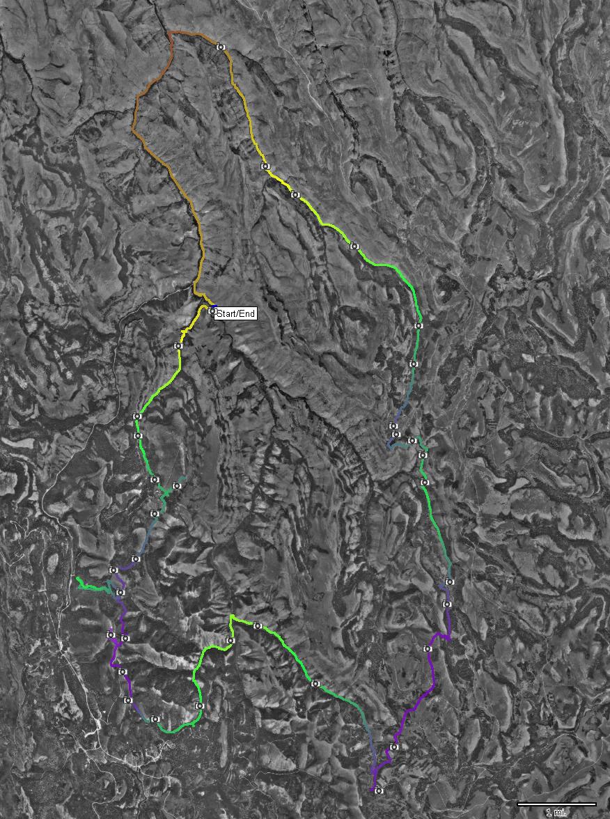
|
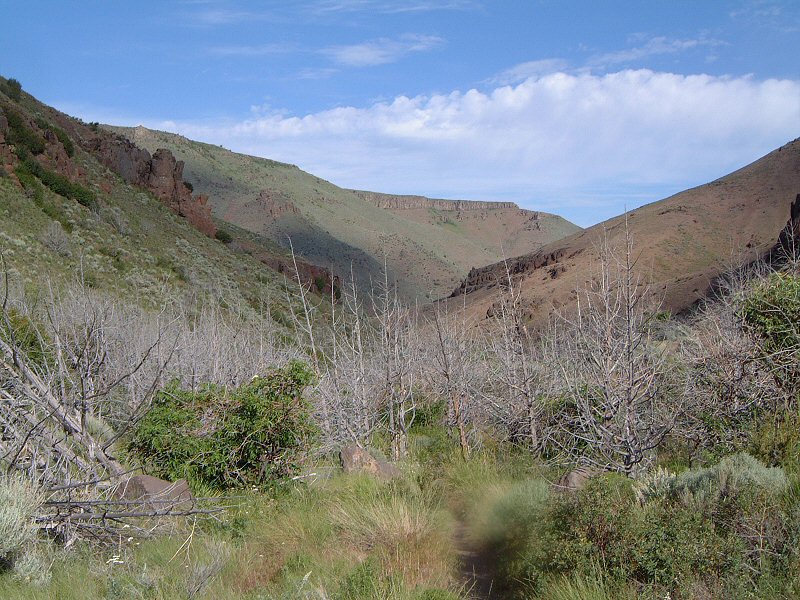
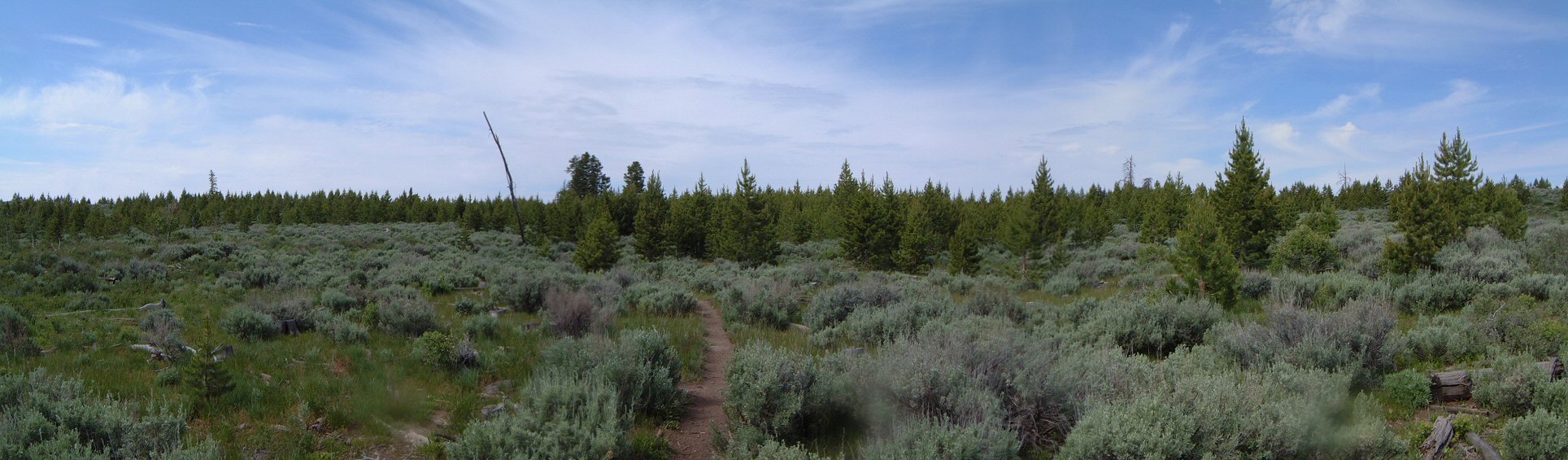
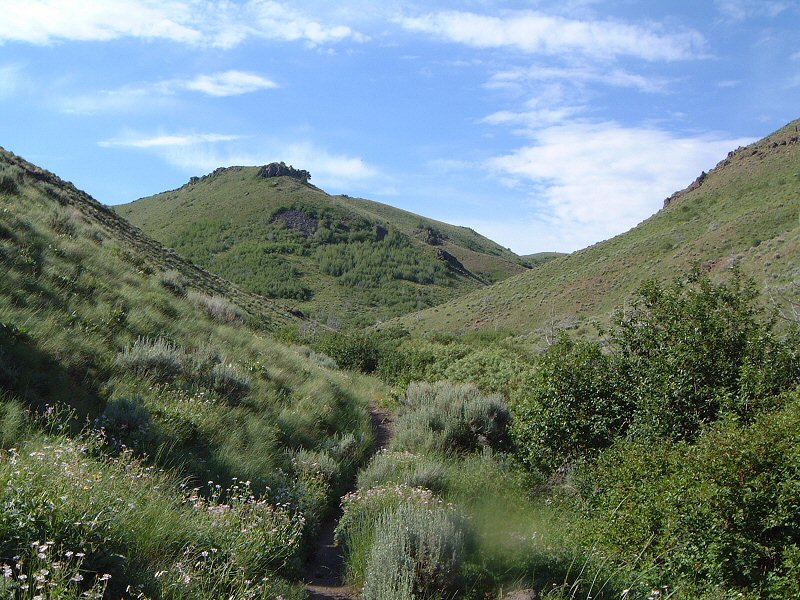
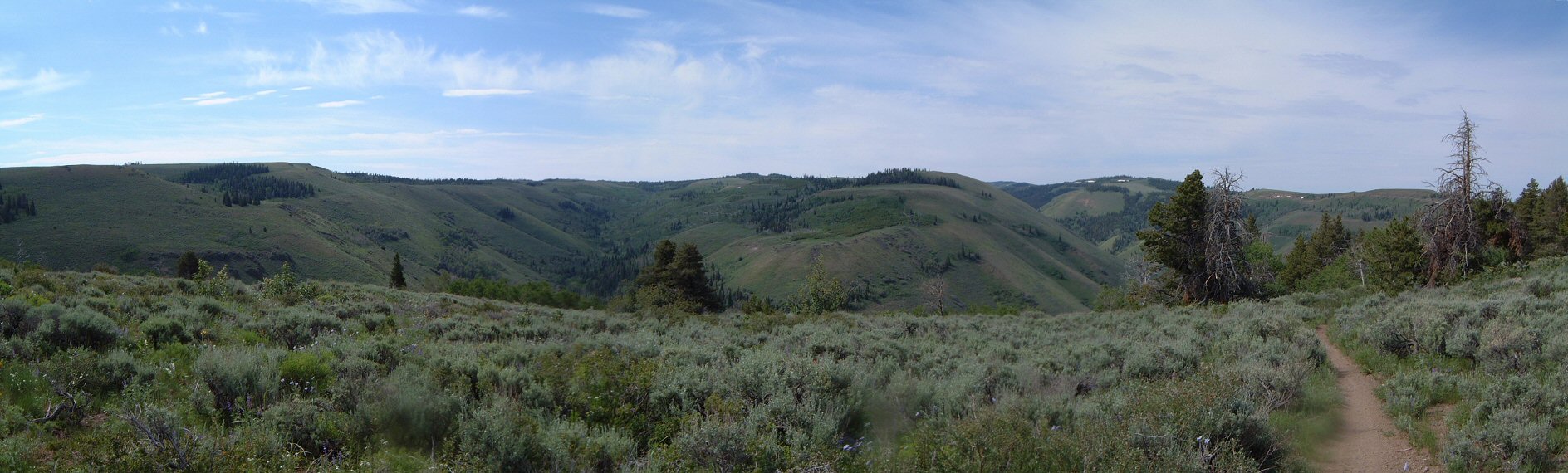
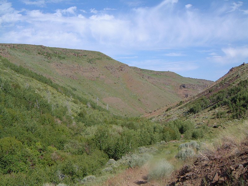
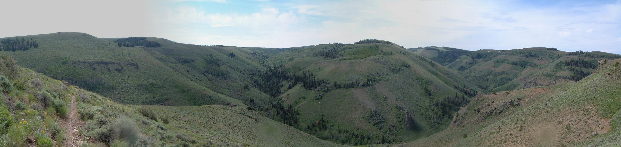
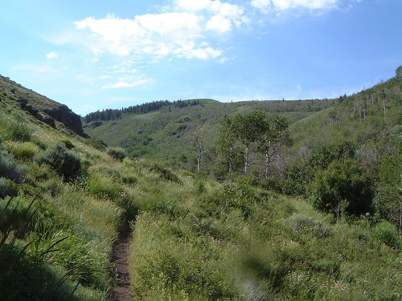
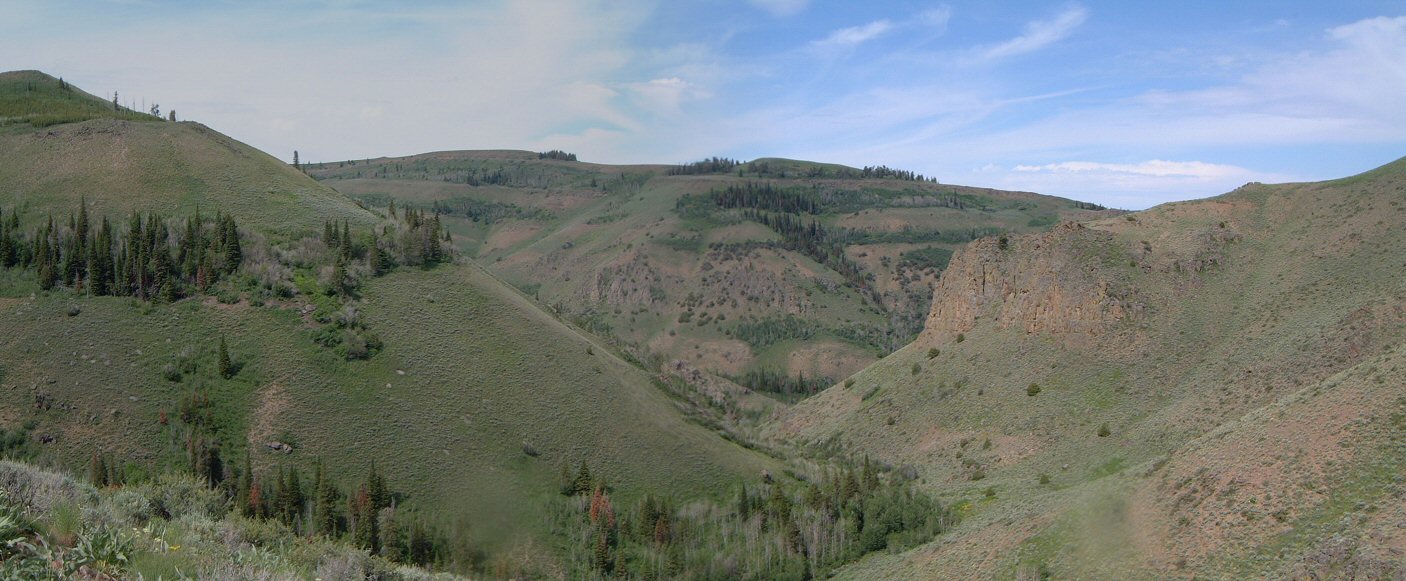
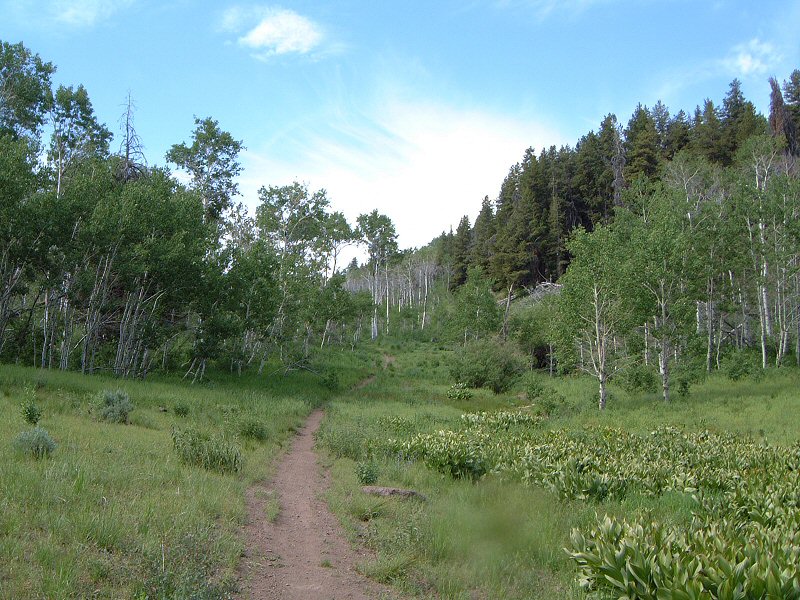
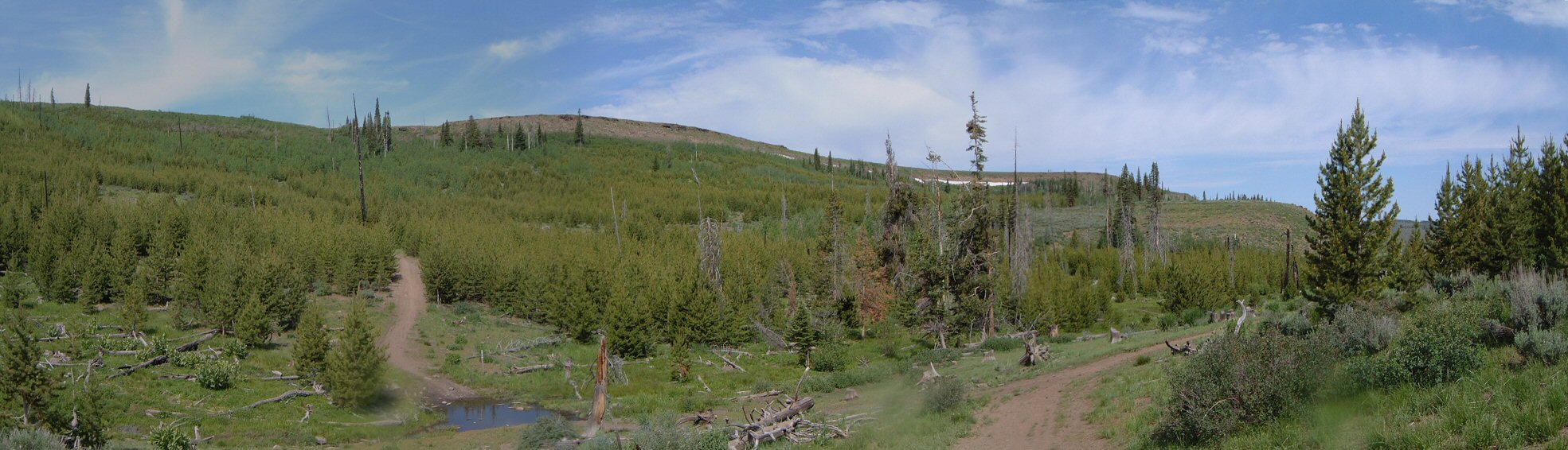
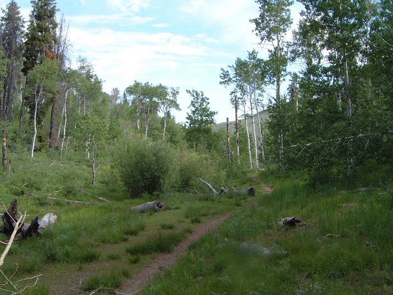
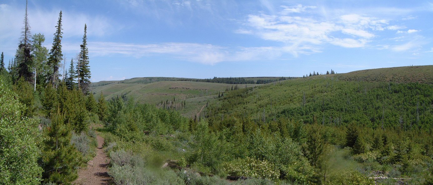
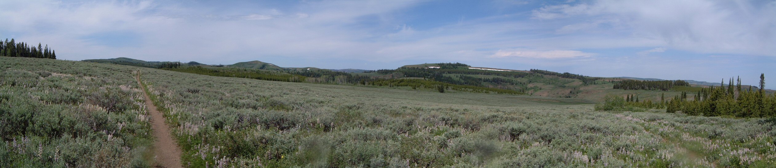
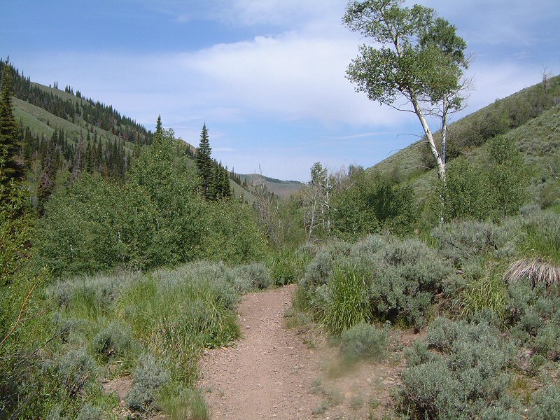
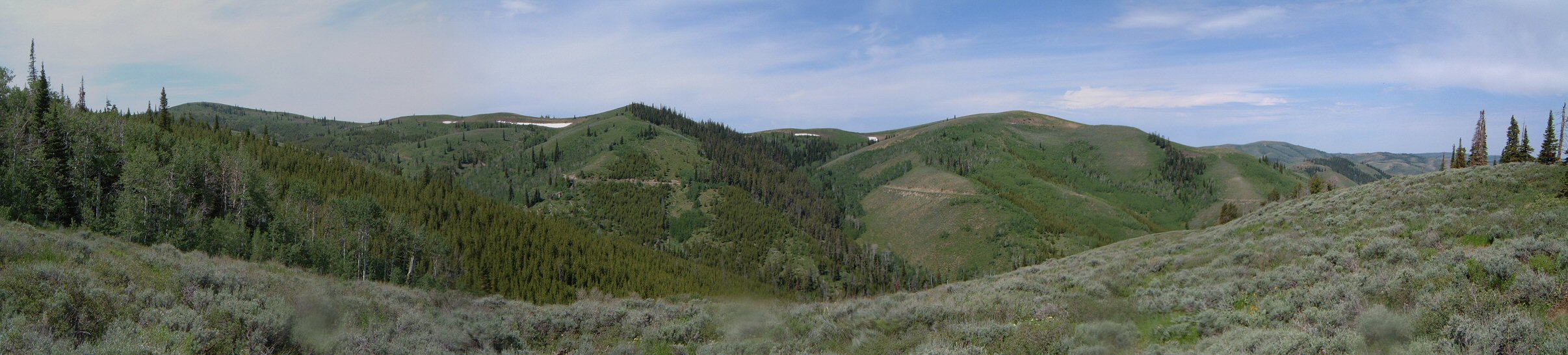
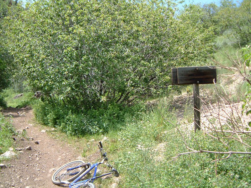
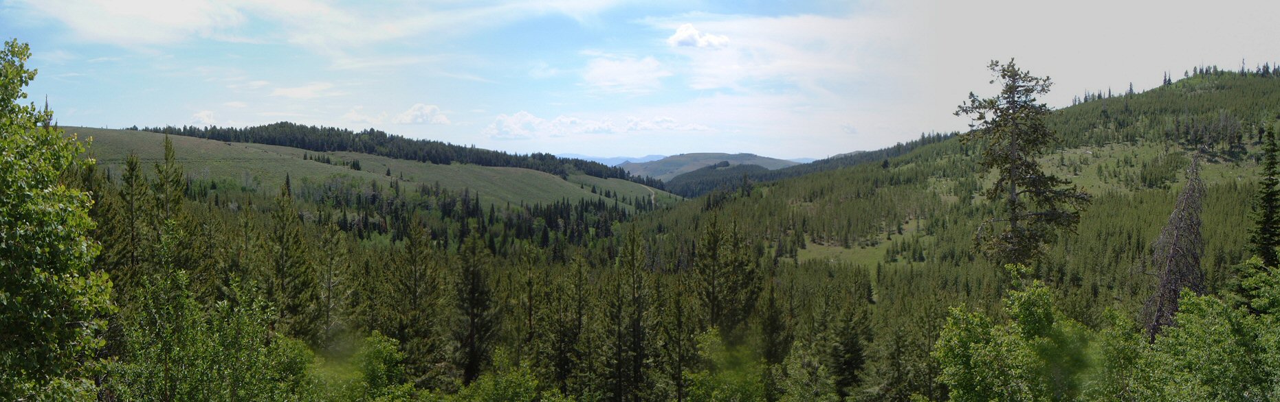
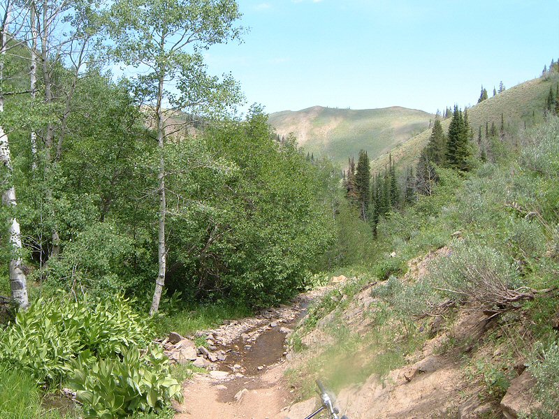
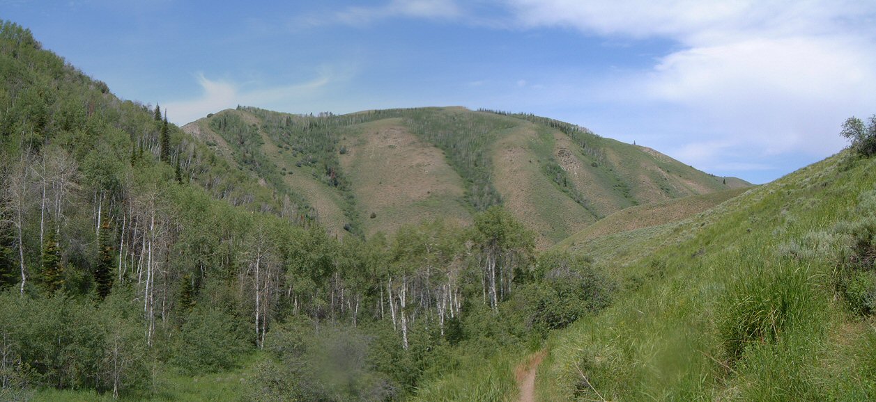
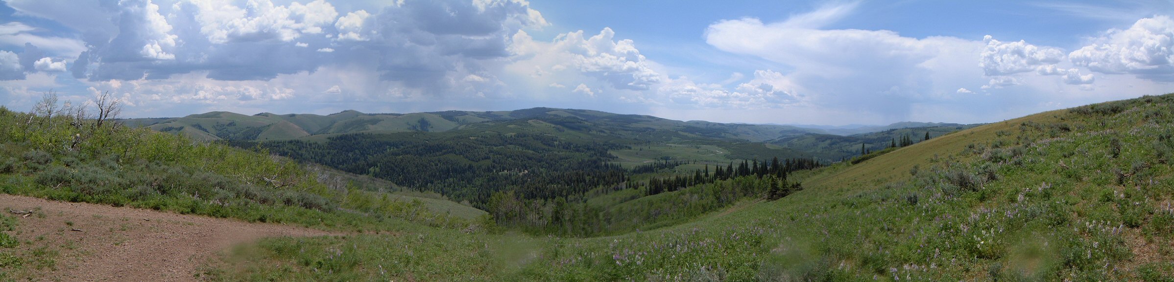
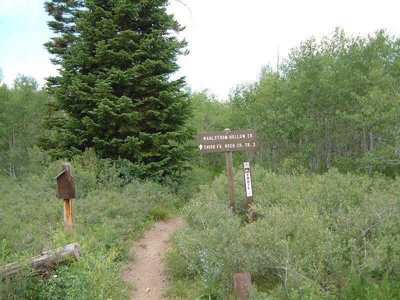
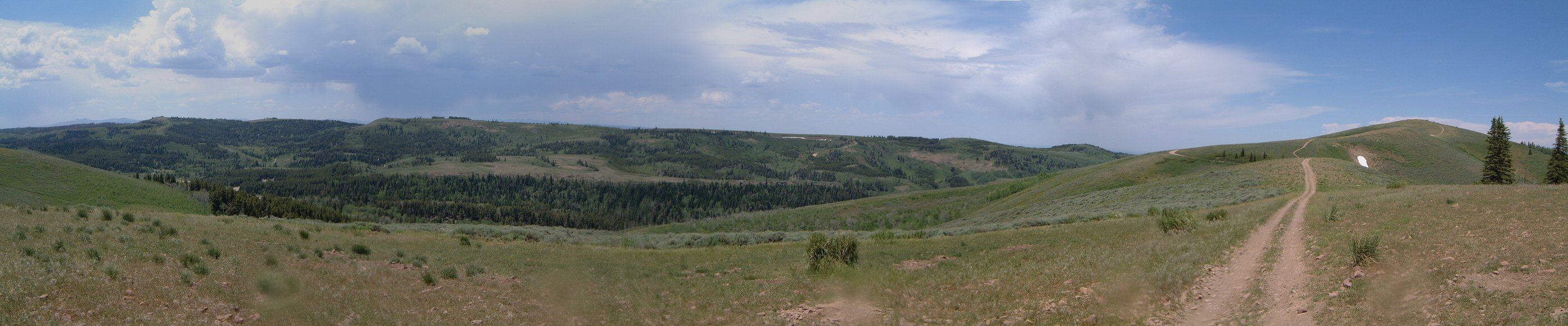
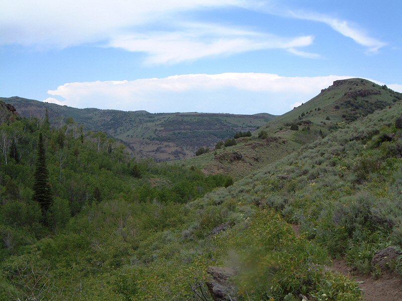
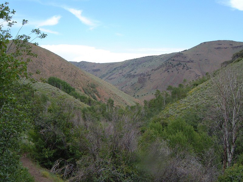
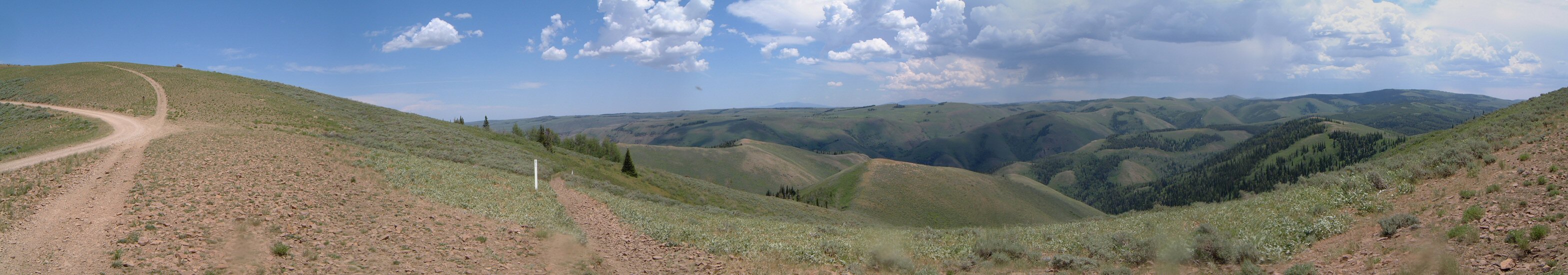
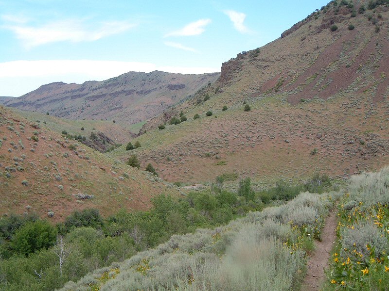
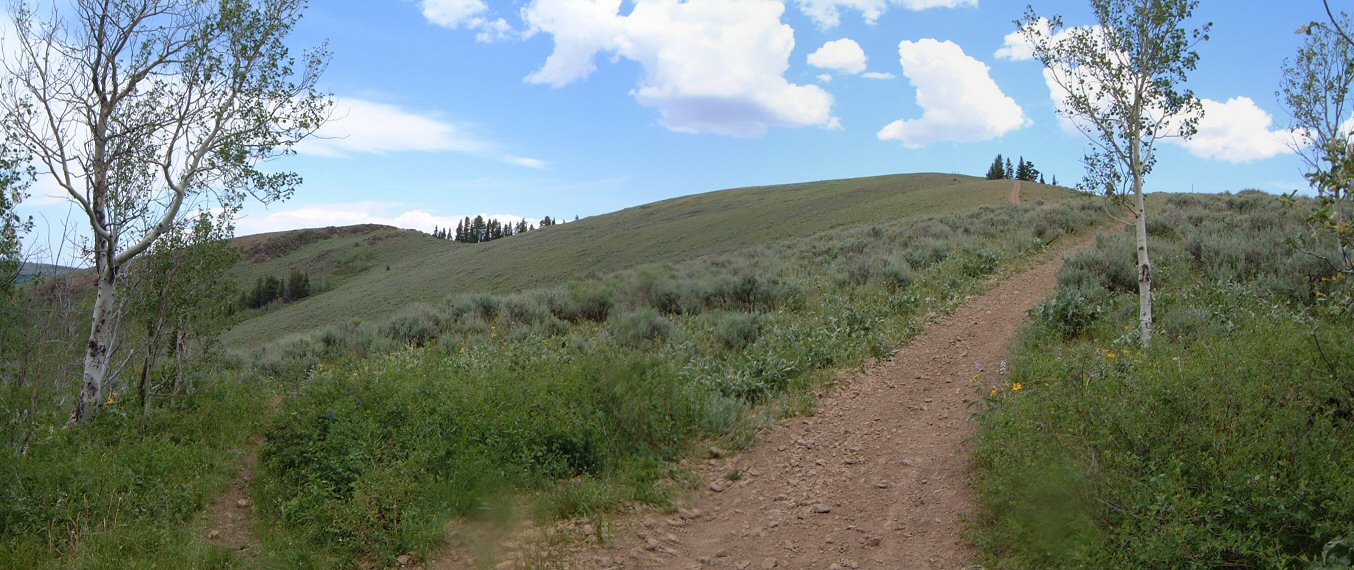
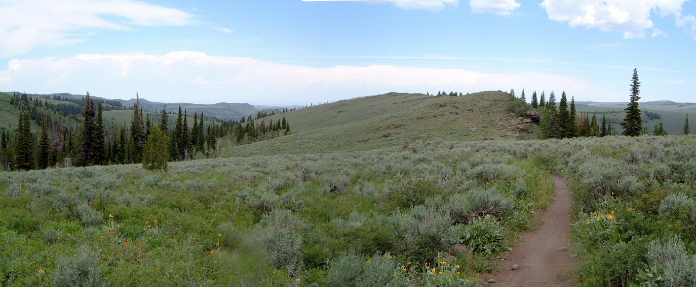
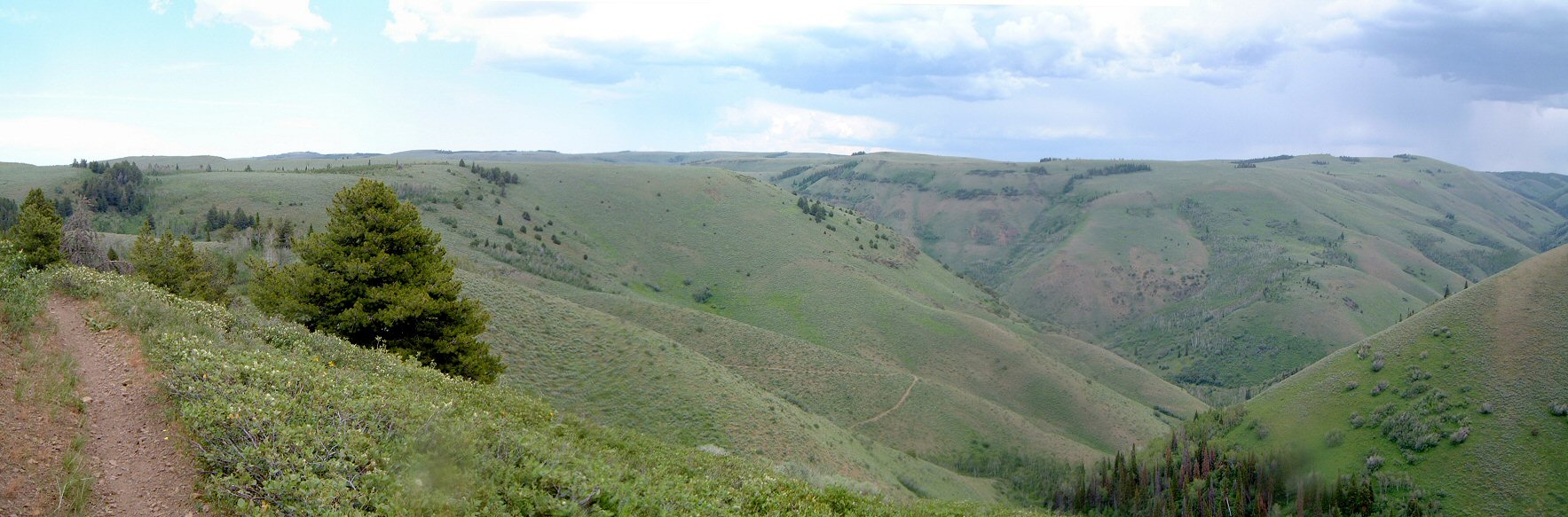
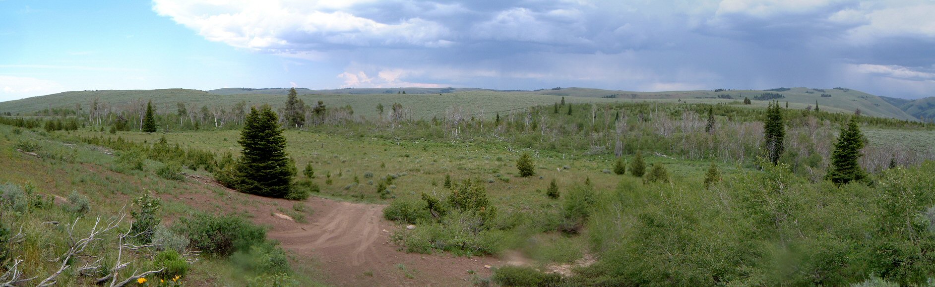
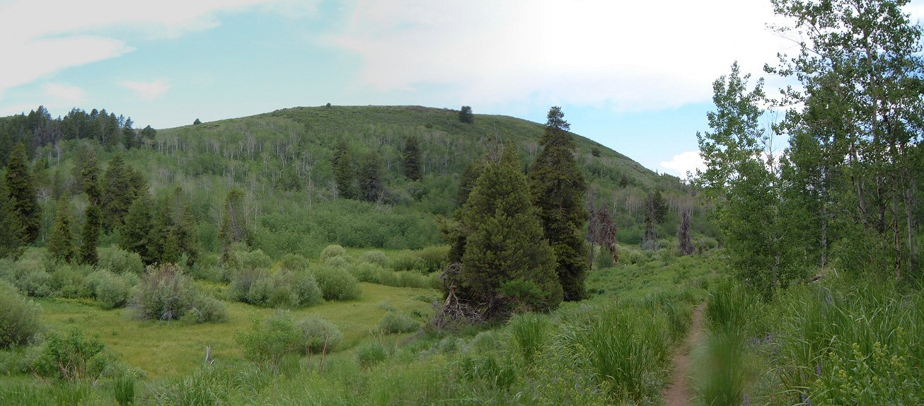
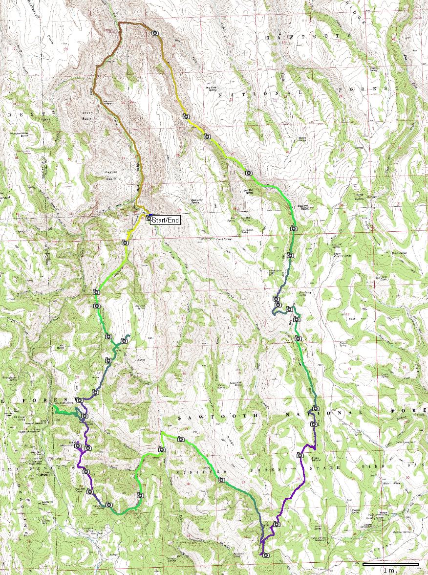
| Description: | South Hills is a range south of Twin Falls, Id. Mountain Bike Idaho book has two rides there, which I combined into one. To access the area, drive south off I-84 exit 182 onto Rock Creek Rd, which goes to small town of Rock Creek and then contiues south into the hills. All these trails are made for motorcycles, some are less traveled and thus have nice singletrack, some are travelled more so they get a bit loose, some are accessible by ATVs so those are getting quite trashed. Started at Third Fork trailhead and rode down the road to Harrington Fork. Here's a picnic area and parking lot with trailhead of Harrington Fork Trail. This trail climbs slowly south and is the least travelled of all. Eventually, one gets to a plateau and descends partially to First Fork. From here there's another climb up to Fred's Mound. Another plateau and descend down Martindale Fork. I rode a bit around the top of Martindale Fork, there's a dirt road and several more trails. Martindale Fork flows to Third Fork, and I took that one up. About 0.5 mile up there's an intersection, main Third Fork goes left, I took right to Little Fork. The trail here turns into ATV trail, and there's several, I ended up taking a very steep pitch right past Little Fk. Spring and emerged on a ridge. Took the ATV trail north on the ridge and then continued on a dirt road to Pike Mountain. The book directions and map are quite worthless in this area, there's bunch of dirt roads and ATV trails that the book does not mention. Anyway, after some common sense I found a singletrack going north off the Pike Mtn. dirt road, and after another 0.5 mile there was another intersection. I took a nice singletrack, but, took a wrong turn down, rejoined an ATV trail and 1000 ft. lower realized that I am descending to Fourth Fork. The ride up the ATV track was more of a push, as the steep sections were really loose. Back on the ridge took and ATV trail and soon turned up on xxx Knob. From there, common sense took the right trail out of the three available (it's the rightmost), and another couple of miles later I came to a T with A-H Trail. Left here, and a 5-trail intersection 100 m later. Took a wrong turn and climbed hill south, back to the intersection, took the right (singletrack), which 150 m later gets to the Warrington Fork trailhead. From here, it's all downhill, mostly pretty nice, but, occasionally steep and loose. Finally, I arrived to Third Fork and soon was back at the trailhead. Summarized - a good exploratory ride, very solitary in the middle of the week. Too bad some of the trails are getting loose. | |
| URL: | TopoFusion Home Page | |
| ||
| Trip Length: | 34.43 miles (55.40 km) |
| Total Trip Time: | 5:54:46 (4:55:32 moving time) |
| Total Climbing: | 6579 feet (2005 m) |
| Total Descending: | 6683 feet (2037 m) |
| Average Speed: | 6.99 mph (11.25 kph) |