| Name: | White Rim Loop | 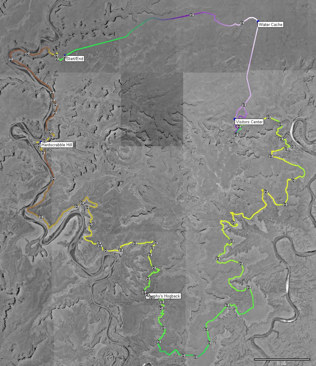
|
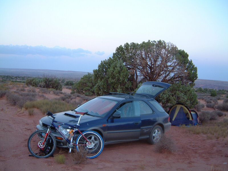
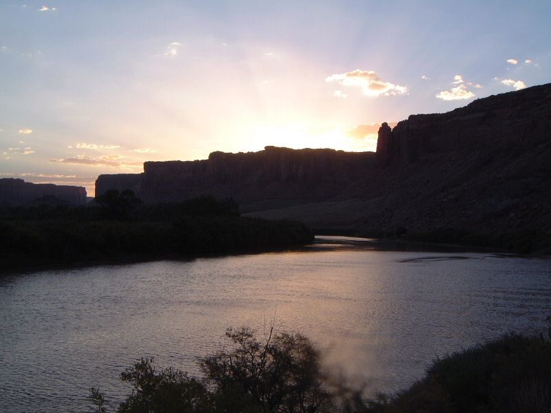
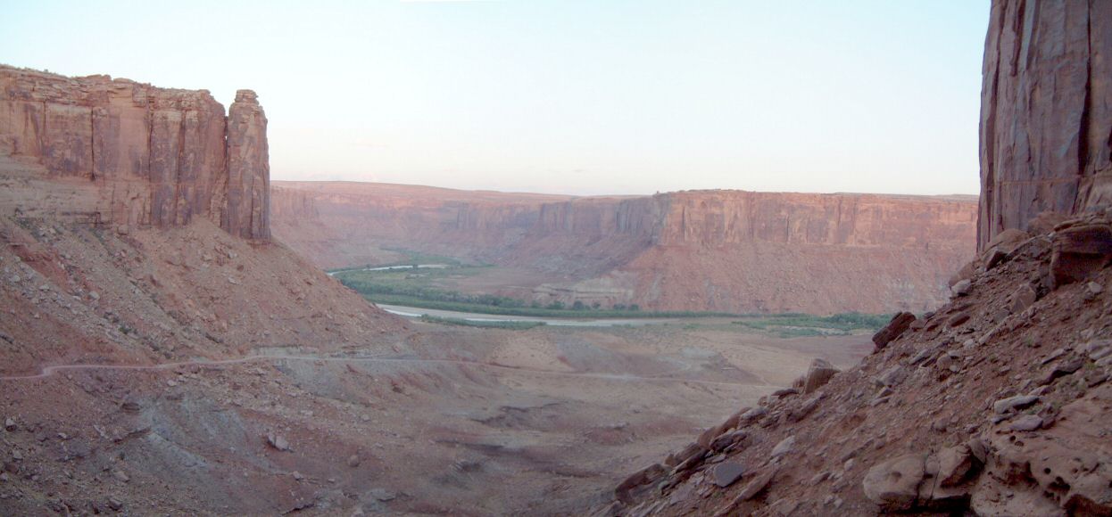
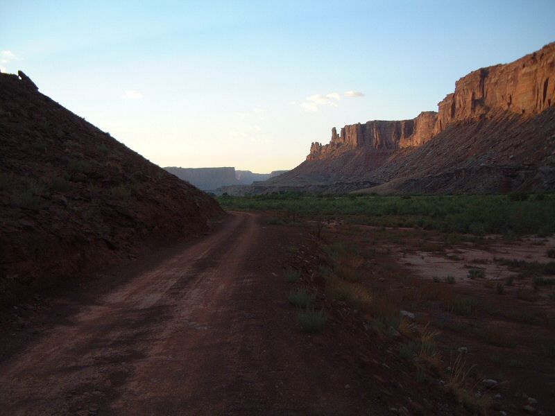
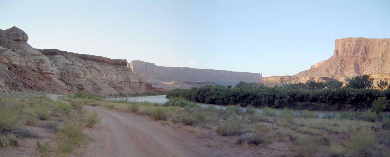
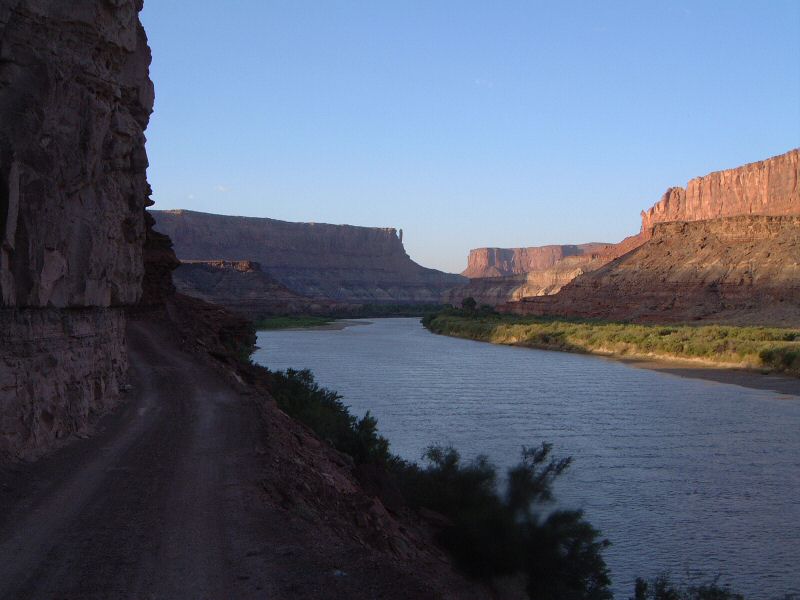
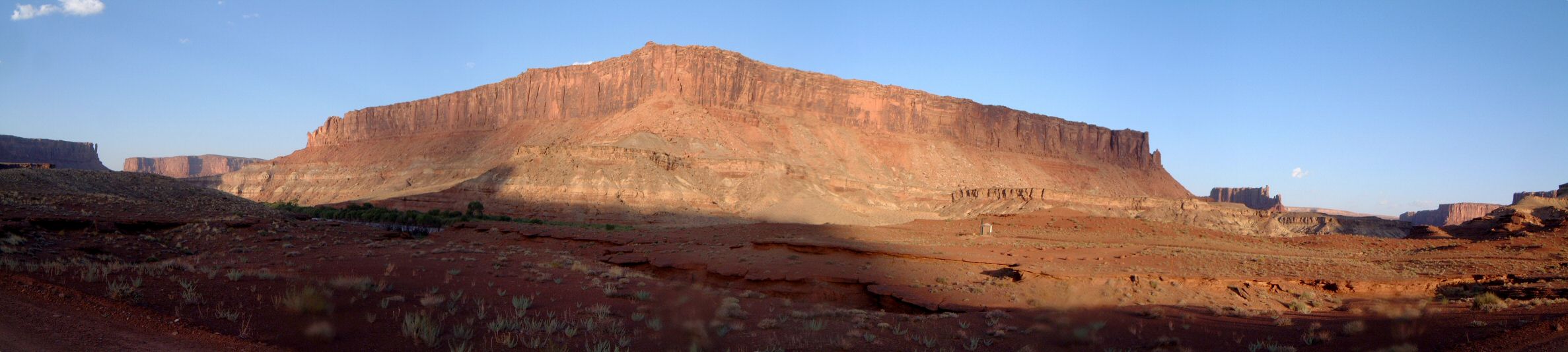
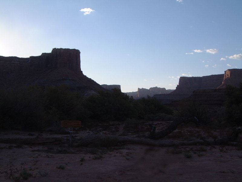
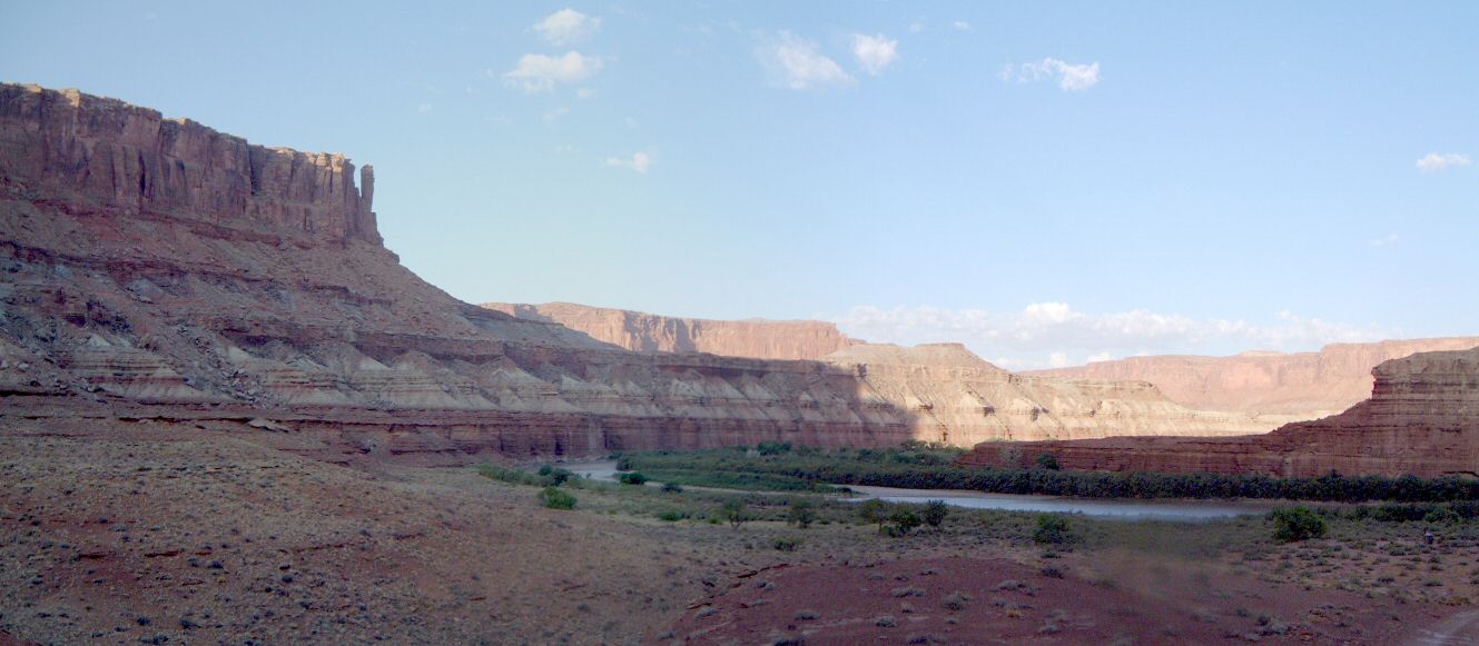
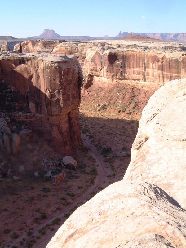
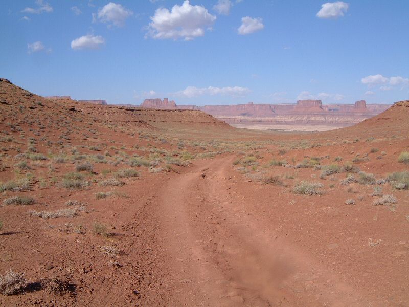
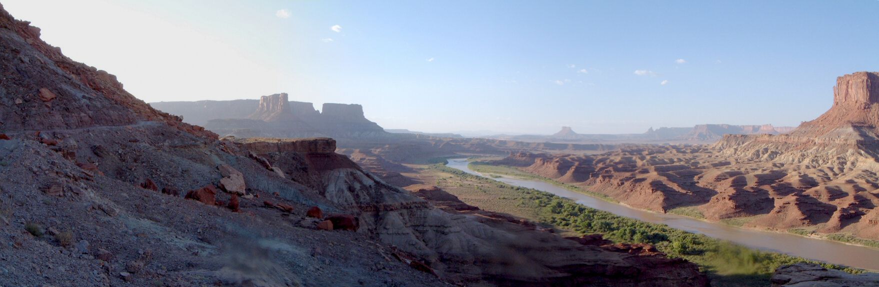
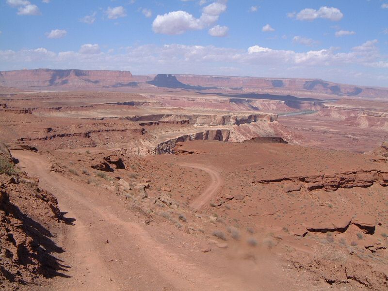
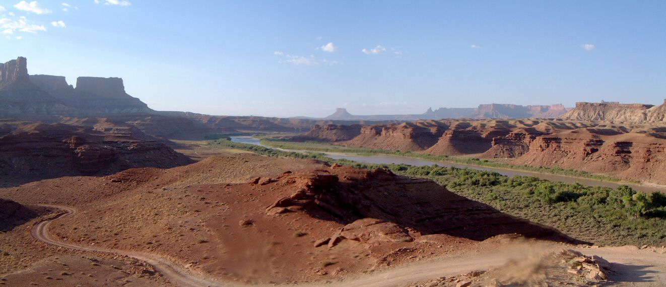
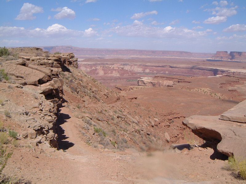
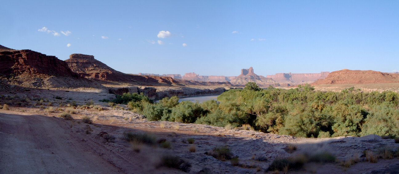
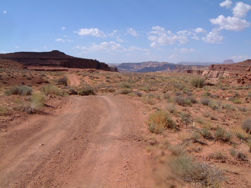
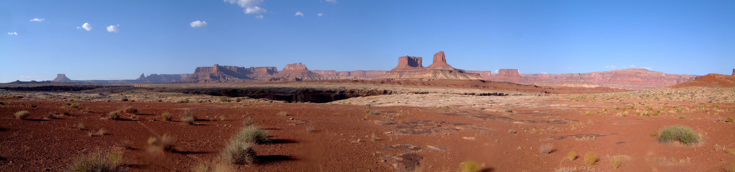
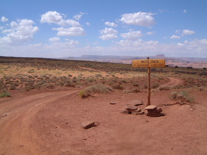
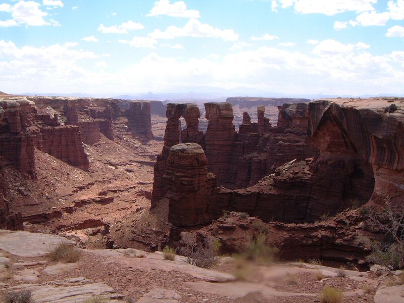
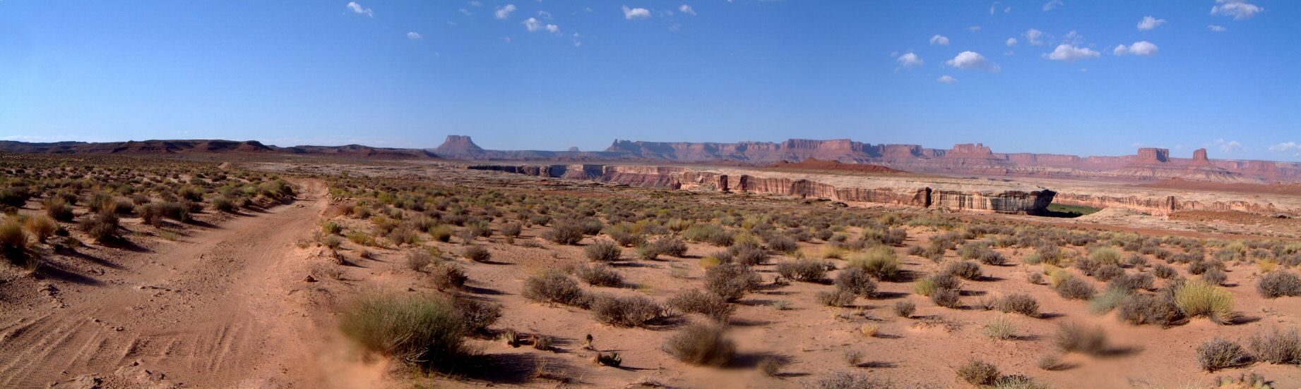
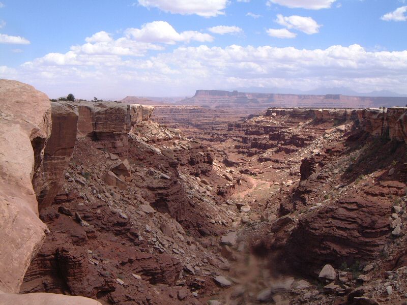
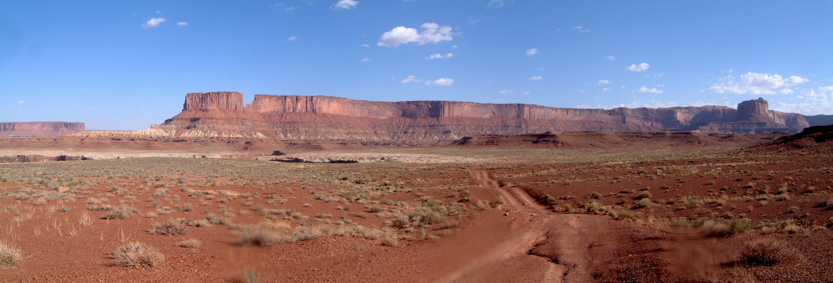
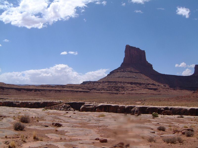
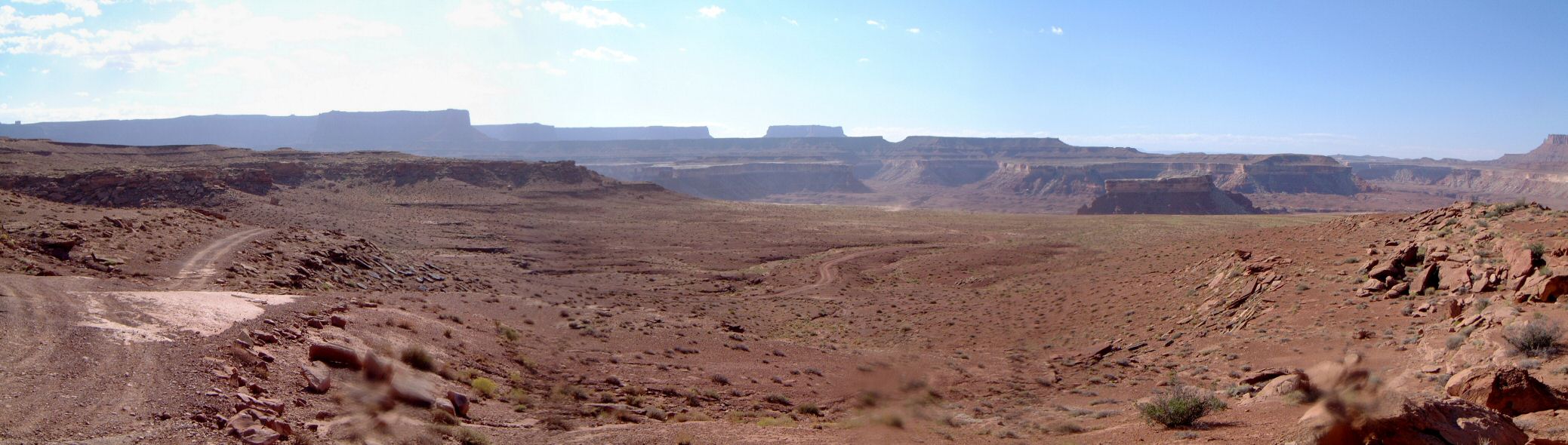
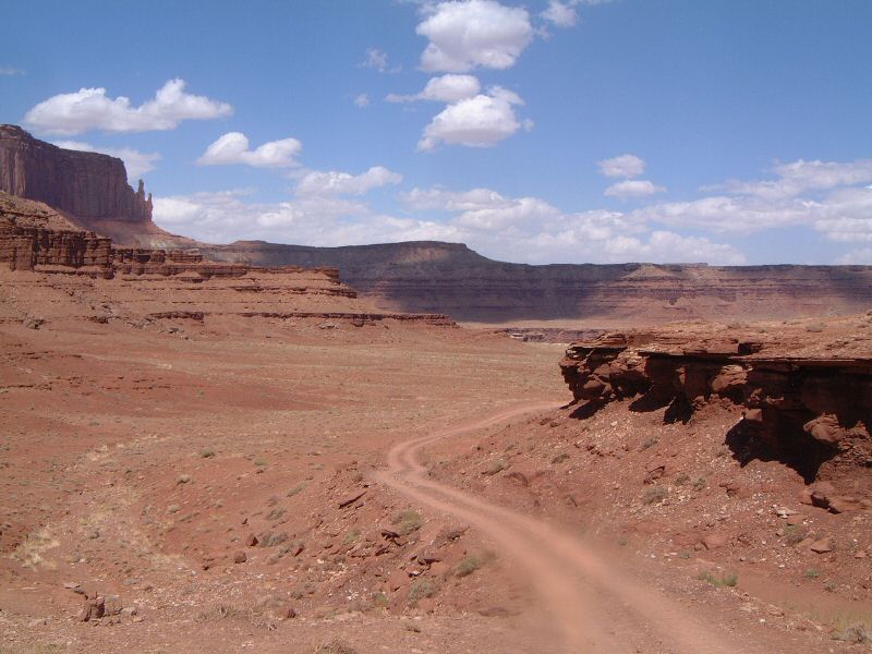
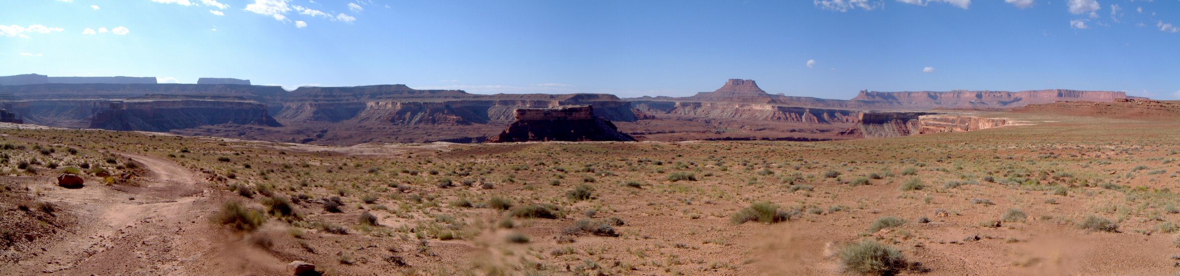
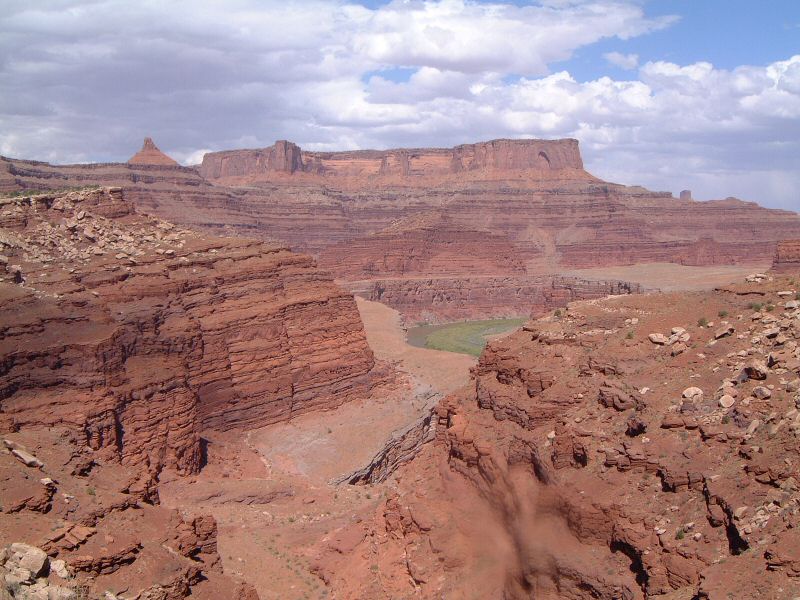
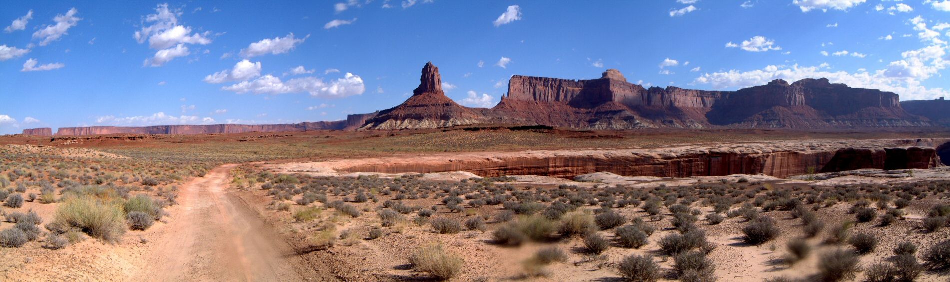
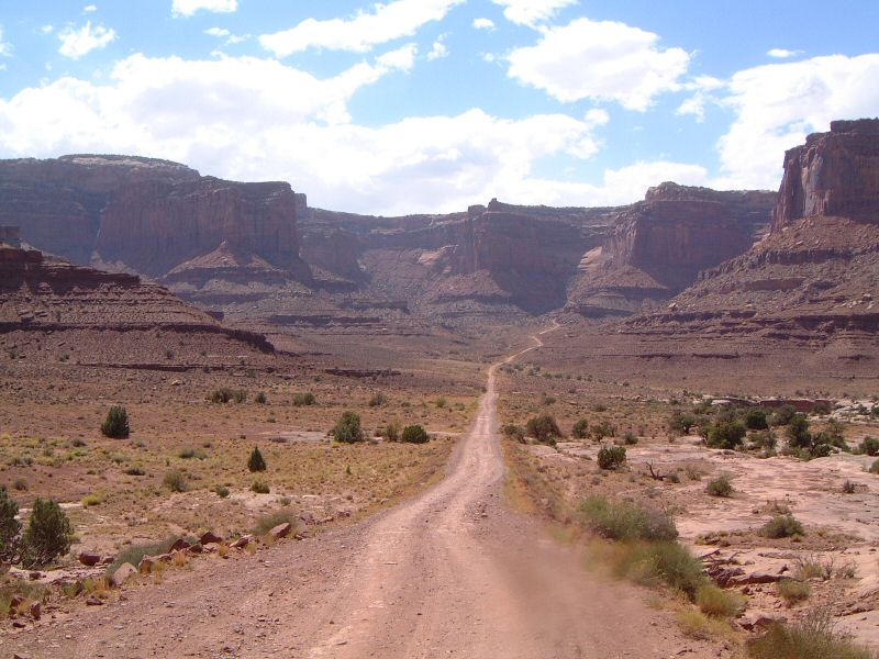
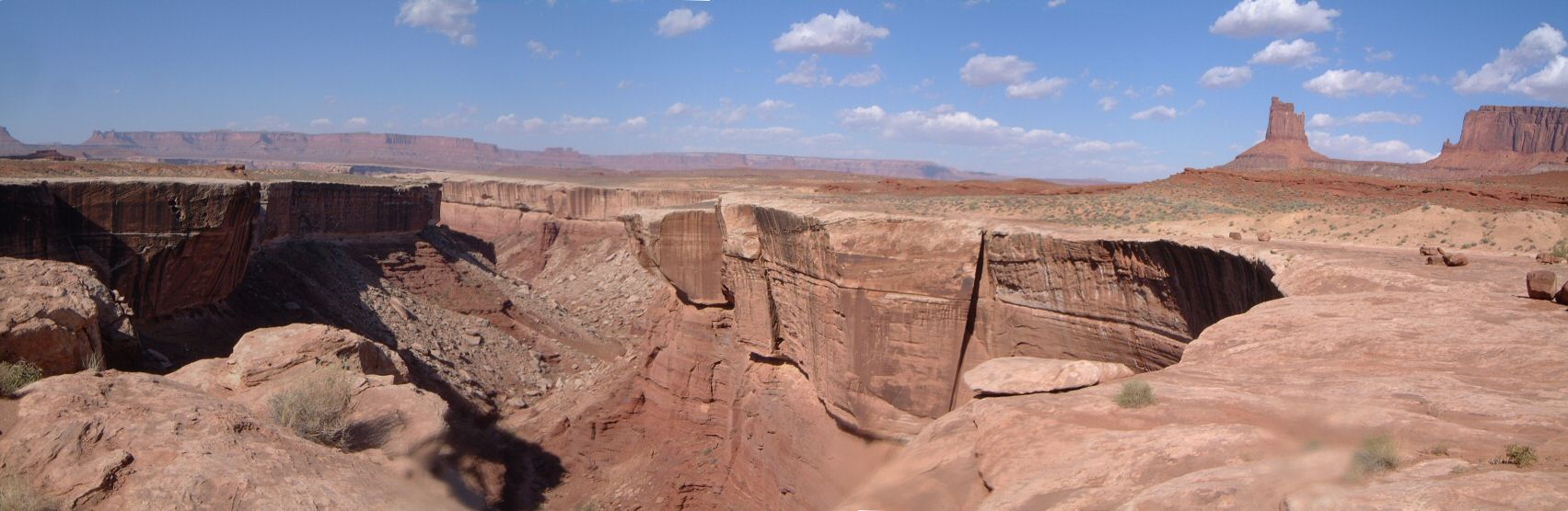
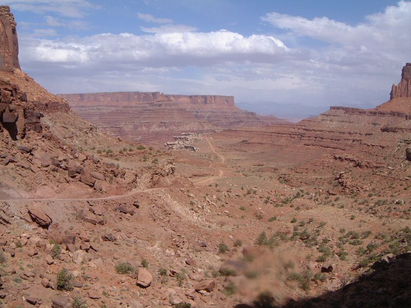
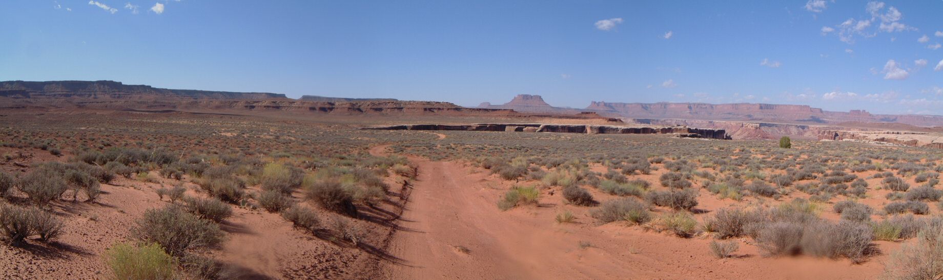
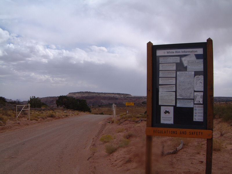
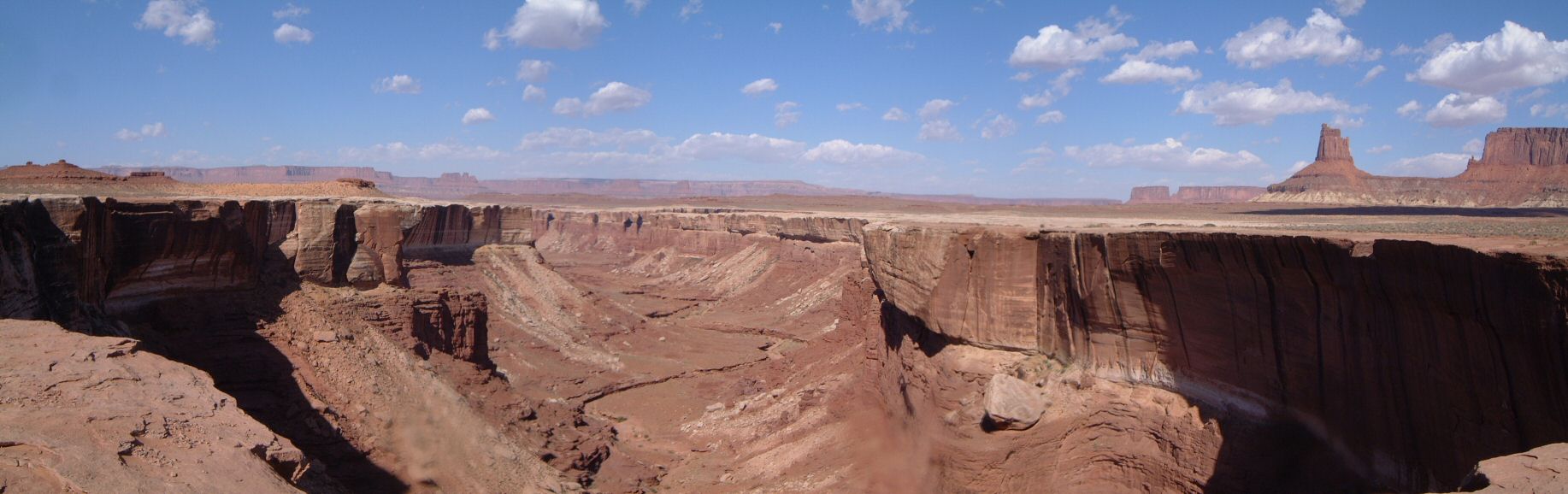
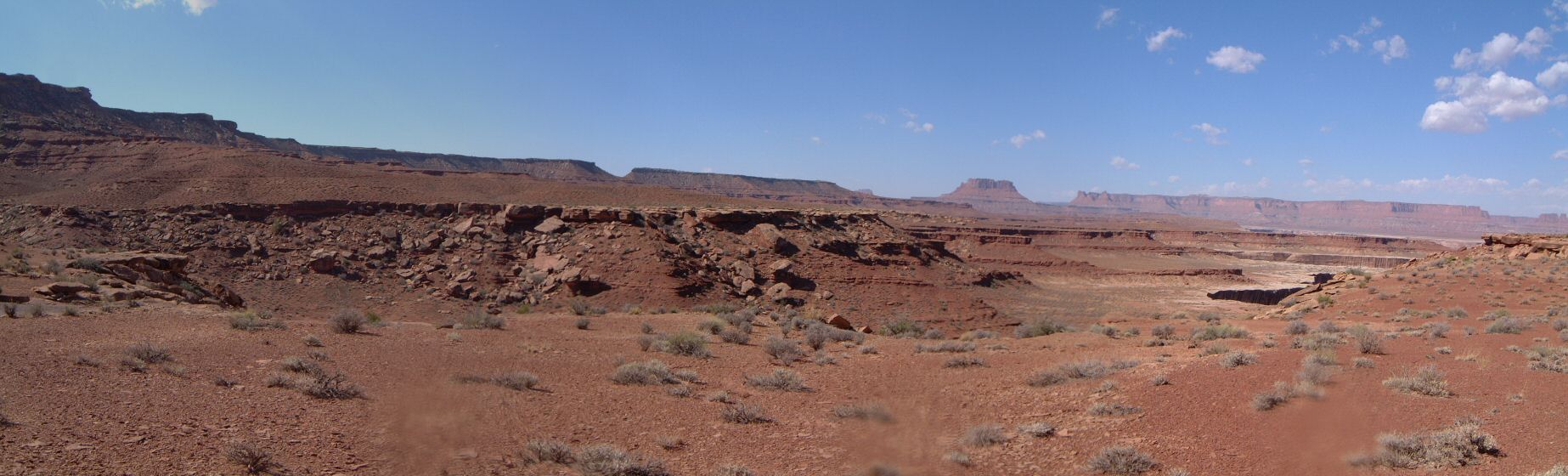
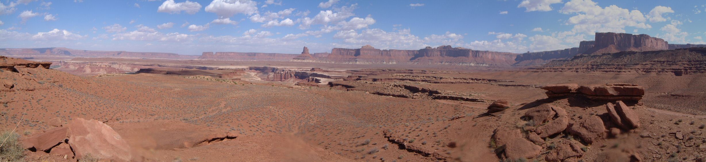
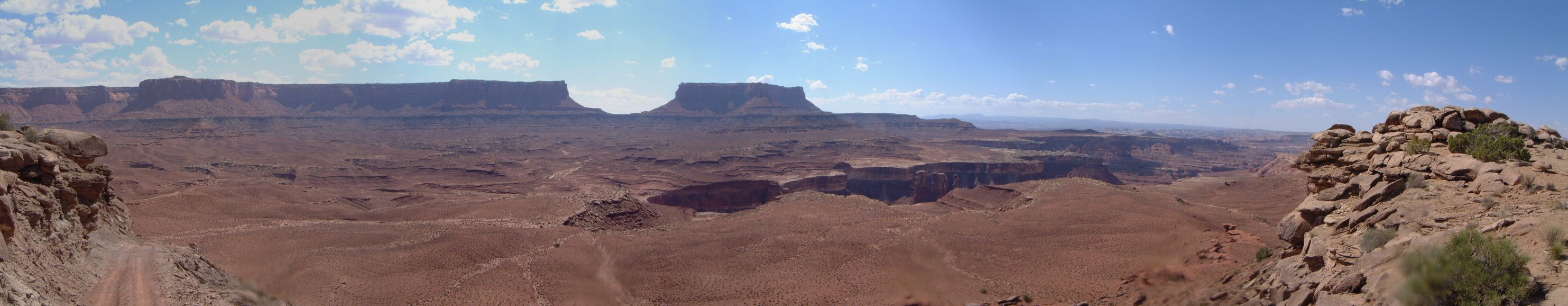
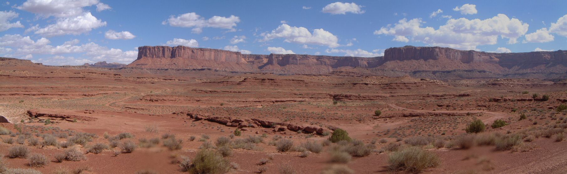
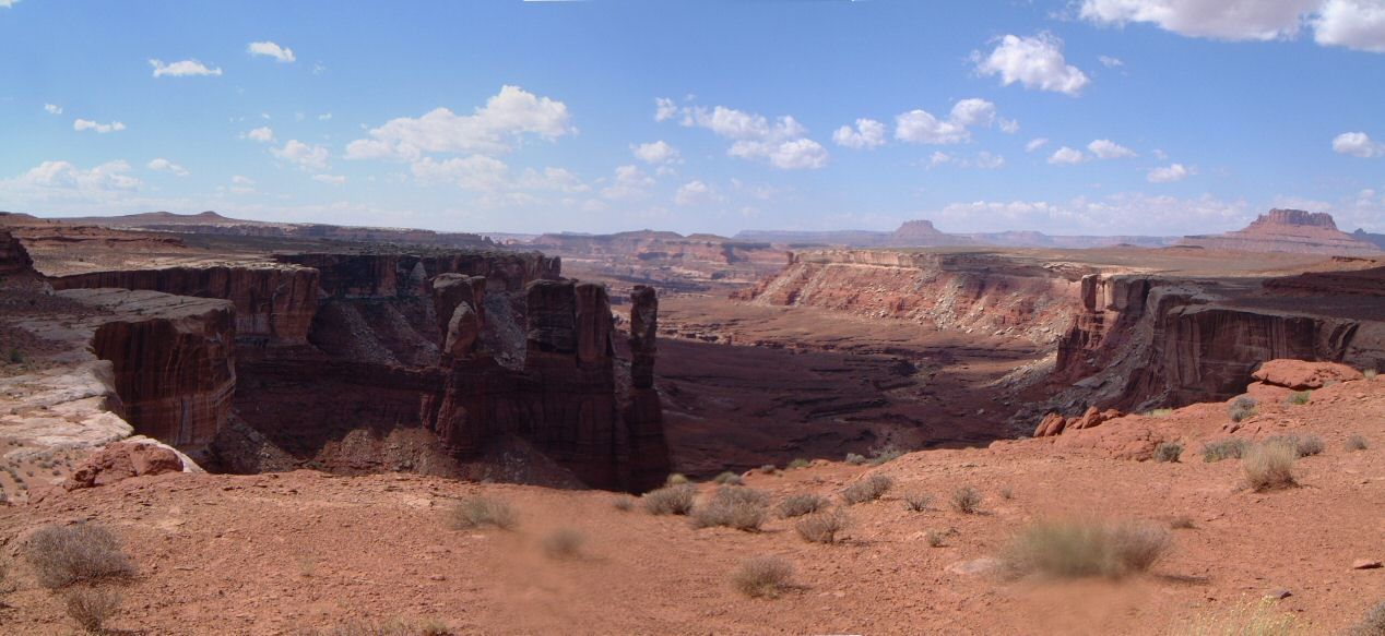
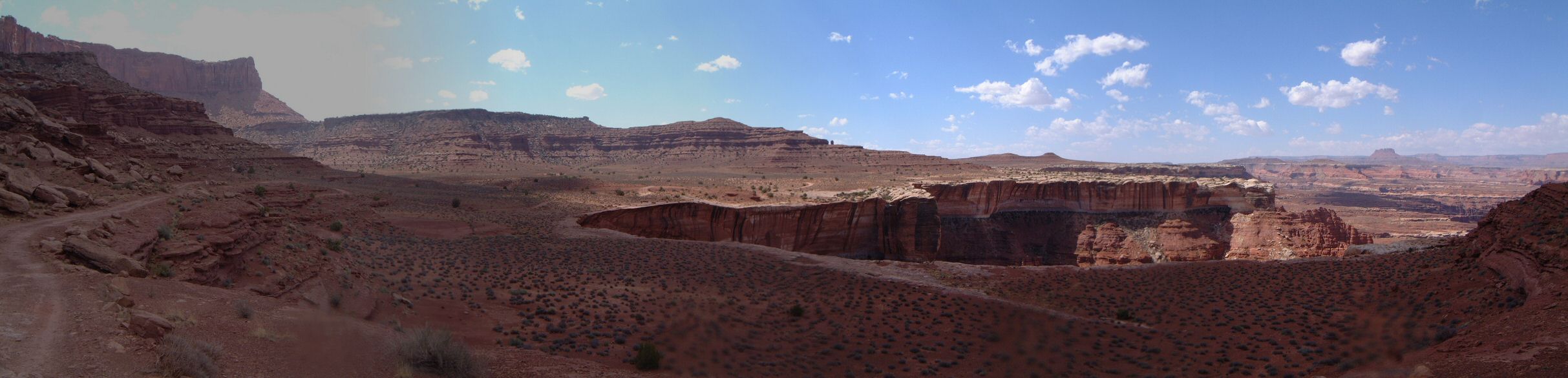
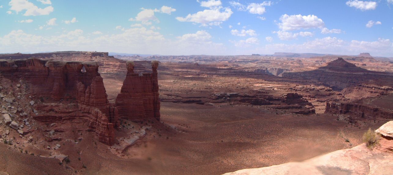
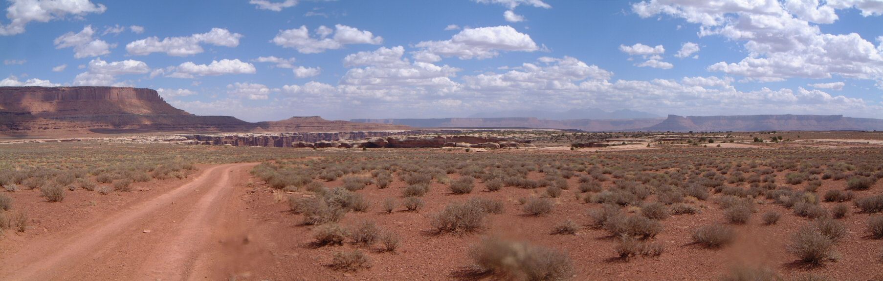
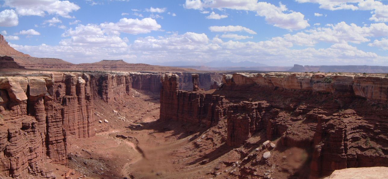
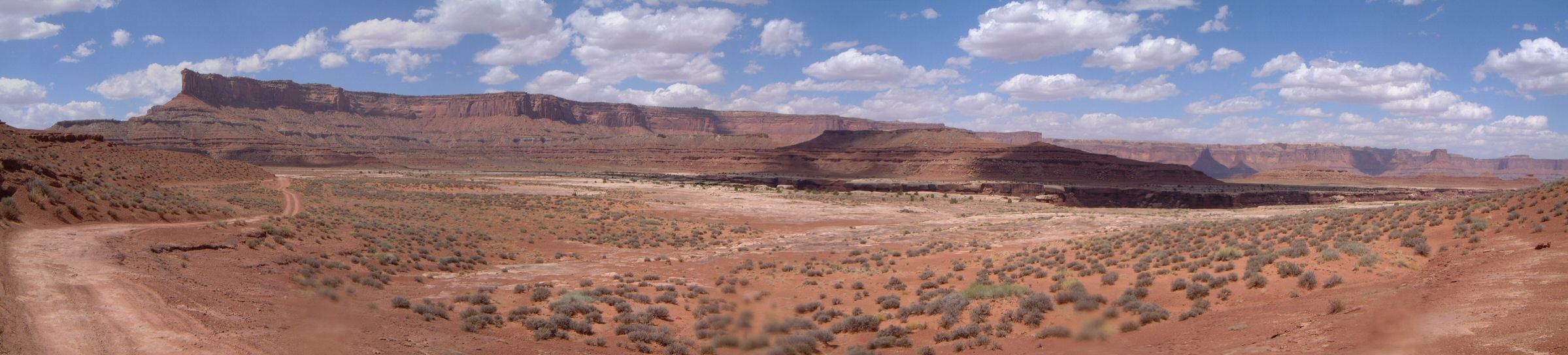
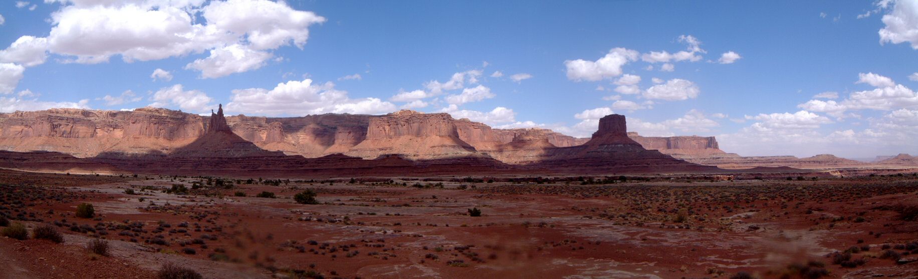
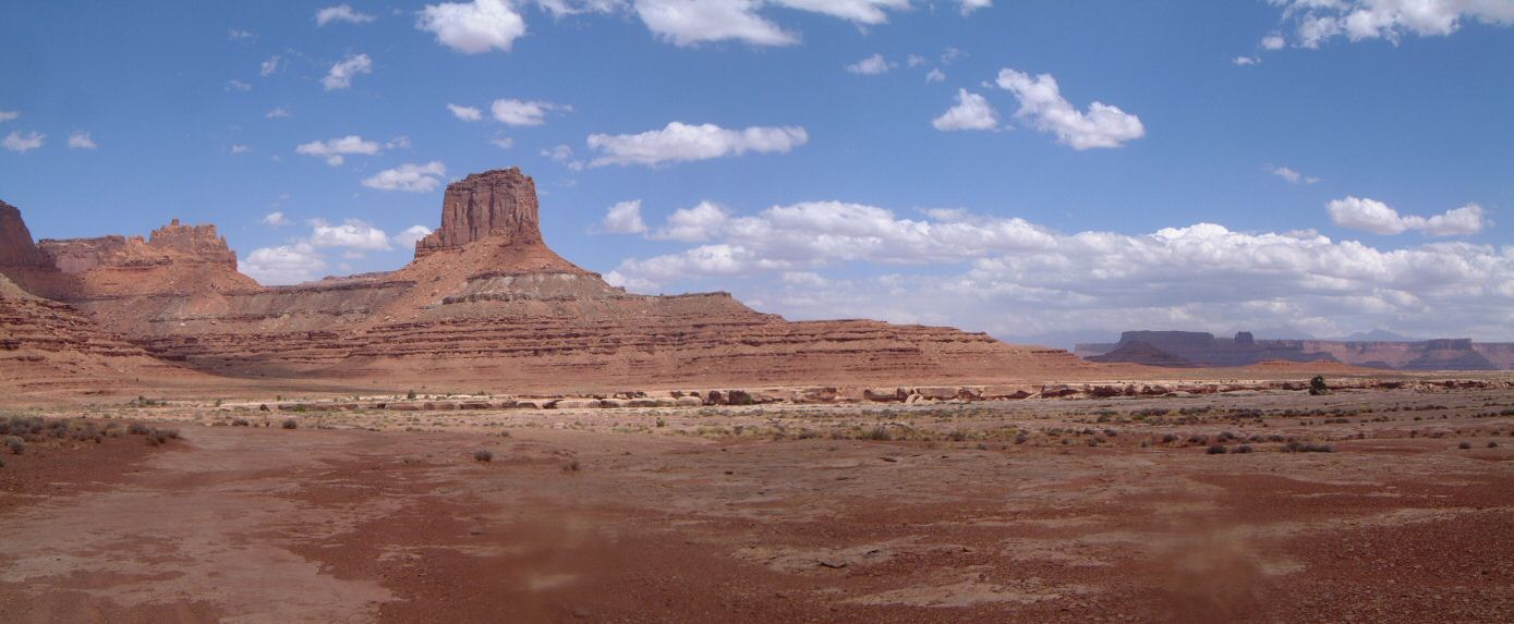
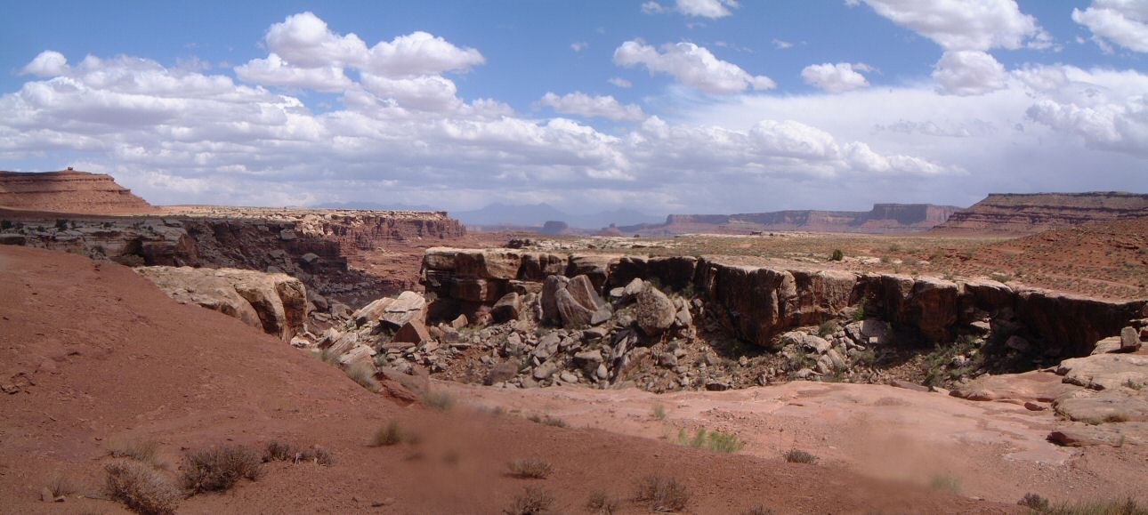
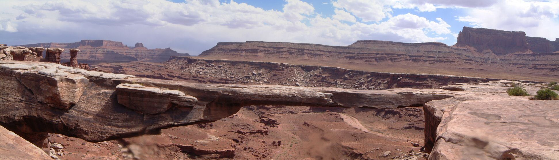
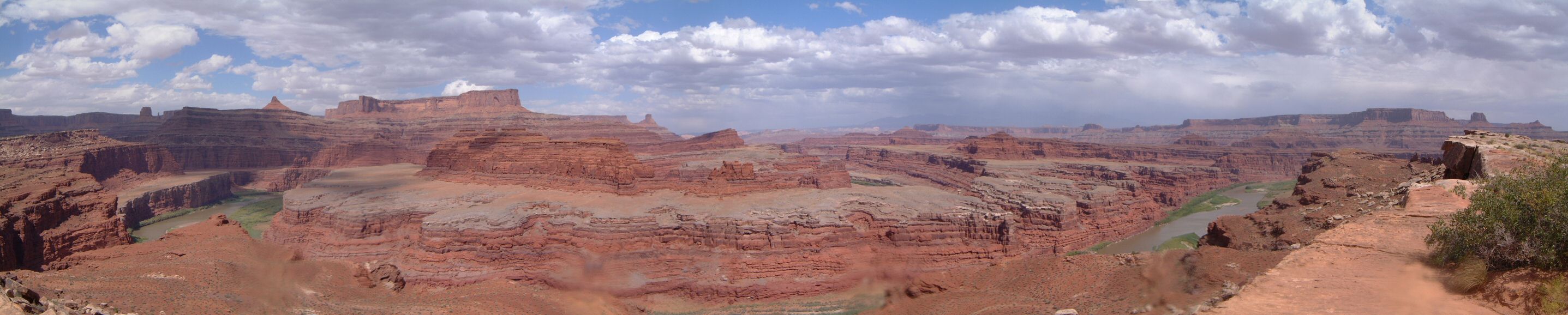
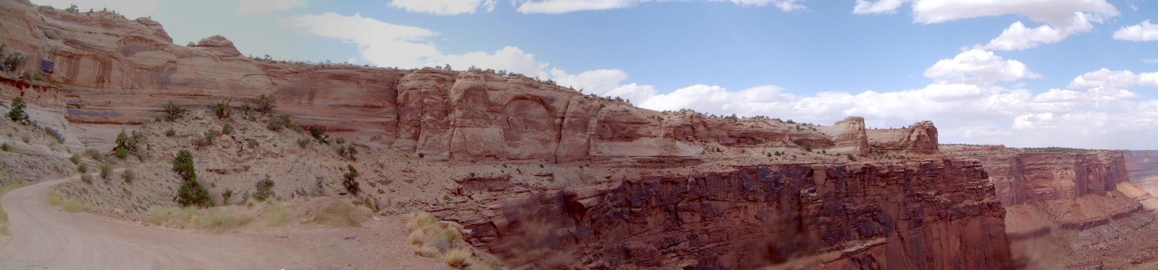
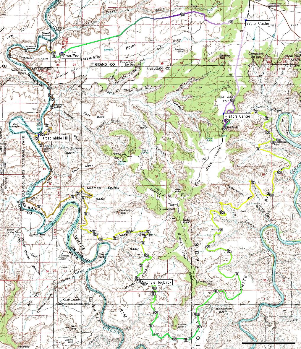
| Description: | One of the ultimate Utah epic rides, this loop follows the White Rim Trail in the Island in the Sky district of Canyonlands NP. Most people do it in multi-day fashion, but, this require advanced campground reservations and ownership of high clearance 4WD vehicle. Thus, the easier way is to ride it in one day. The only drawback of this method is limited time for exploring. First some logistics. My plan was to ride counter-clockwise starting from top of Mineral Canyon switchbacks, where I camped right beside the road. I left 3 liters of water at junction of Hwy 313 and dirt road that connects to Mineral Canyon road. This shortens the loop by about 5 miles or so. I set off with a bit under 8 liters in two 3 L bladders on my back and 1.5 and 0.5 L bottles on the bike. At Gary's advice, I took my full suspension bike, which I think was a good choice since a lot of sections of the road are rocky and this made pedalling easier. The extra weight, compared to the water I carried, was negligible. A few word summary: hot and windy ride. There was an approaching storm which cooled the temperatures a bit compared do day before, but, the wind was draining me quite a bit. Still, it was a better day to do this than the next day, which pounded the area with one of the heaviest thunderstorms I have seen since I moved to Utah. Started around 7am going down the Mineral Bottom switchbacks. It was quite warm already, probably a bit under 80 F. There was some southern wind, but not too bad. I had to pedal on the flat Green River bottoms due to the headwind. I was at Hardscrabble Hill in about an hour. The climb was not too long, but steep and loose and I had to push on one spot. At about 9.30, I got a first glimpse of White Rim, Green River sinking below. Riding through Holeman and Sida Spring Basins is pretty lenthy and relatively boring, which was in my case aggravated by headwind with strong gusts. There are also numerous sandy sections which added to the annoyace level. Then comes a gradual climb to a short steep pass where the wind almost blew me off the bike. A bit ups and downs and a more significant up, and one's on the top of Murphy's Hogback - I was here about 11am, took some break, ate something and figured out I was about 1/2 done with water. Not too good, so I decided to push it and not do any detours. There is some descent from the Hogback but some more climbing to the southernmost point of the ride, turnoff to White Crack campground. It took me an hour to get there since the winds were slowing me down considerably. Fortunately, from this point on I was going more north, which meant that I cruised to Gooseberry Camp at good 20 mph. The road curves around so there were fast cruising sections mixed with slow headwind. But overall, it was going pretty fast despite being hot, tired and conservative with water. From about Buck to Musselman Canyons, the trail goes often on the slickrock, which is broken and bumpy. I was pushing through saving the 1.5 L bottle on the frame as a last resort. I popped it open in a shade of a juniper near Musselman Arch, my computer was showing 95 F. After eating some food and using one of the electrolyte water enhancements, I set off again. The section that follows is sort of cut in a steep canyon slope that drains to Colorado. Then one more small hill and view to the west opens, to the dreaded Shafer trail that leads 1500 ft up to the rim. Naturally, I was going agains the wind on the approach. As the road started to climb, I was immediately soaked with sweat so I did not mind the wind anymore. I stopped twice during the climb and ate a Power Gel at each stop - that seemed to help quite a bit. I run out of water at the last section of the switchbacks. On the top, I actually felt pretty good, and rode a mile or so south to the National Park visitors center, where I bought a bottle of cold Powerade (there's a vending machine with water for $1 and Powerade for $1.50). The visitor's center is open till 6pm, machine is outside so it can be also used after the hours. Then I rode north on the road with was fast with the tailwind. I turned off this dirt road going west, where I cached my water, which was not really needed as I refilled at the visitor's center. Then there was about 15 minutes of deserty doubletrack that was actually a reasonably fun to ride. Then came junction with Mineral Canyon road and a very annoying and slow (albeit downhill) return back to the camp - the headwind was getting ferrocious with the approaching storm, it took me about 40 minutes to ride this section and I was glad I was done. Final words. A good endurance test, though I am wondering how it would be if the weather were a bit more ideal. The scenery is nice, but not spectacular, and the whole dirt road is not that great either. | |
| URL: | white_rim.gpx.rar | |
| ||
| Total Distance: | 97.39 miles (156.70 km, computer 160.3 km) |
| Total Trip Time: | 10:43:24 (9:02:24 moving time) |
| Total Climbing: | 8426 feet (2568 m, computer 2200 something m) |
| Total Descending: | 8618 feet (2627 m) |
| Average Speed: | 10.77 mph (17.33 kph) |