| Name: | Hike east of Ouray | 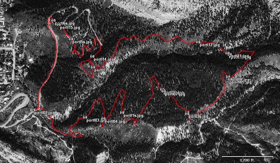
|
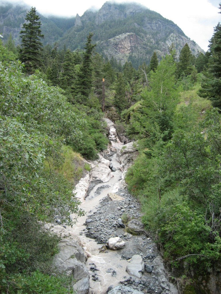
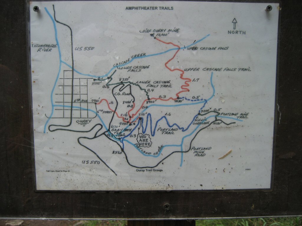
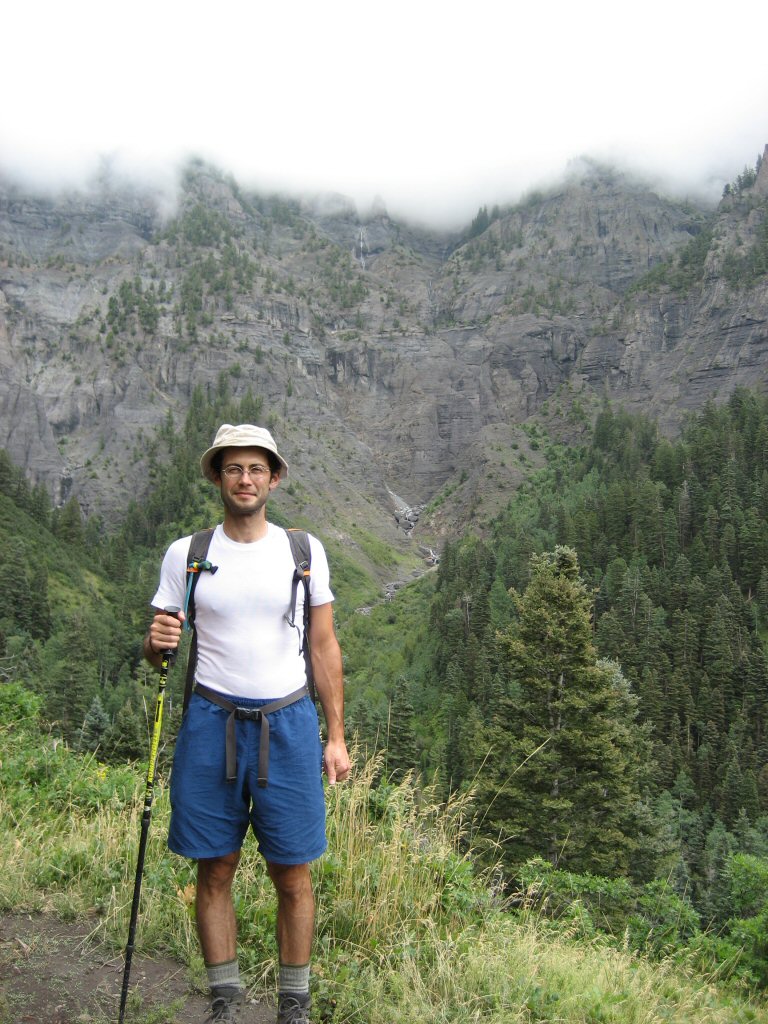
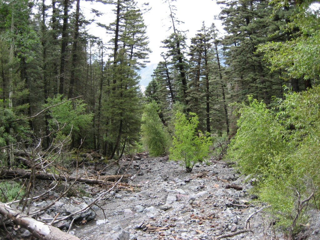
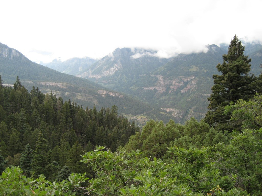
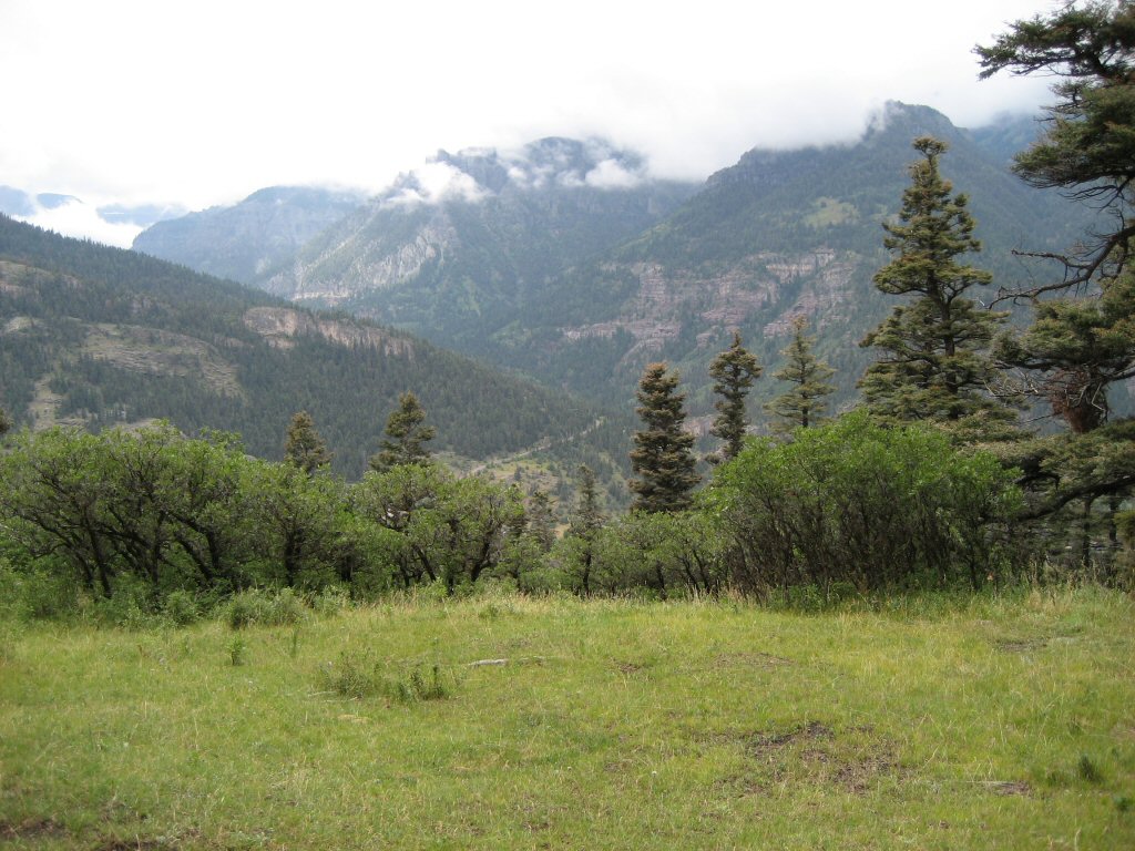
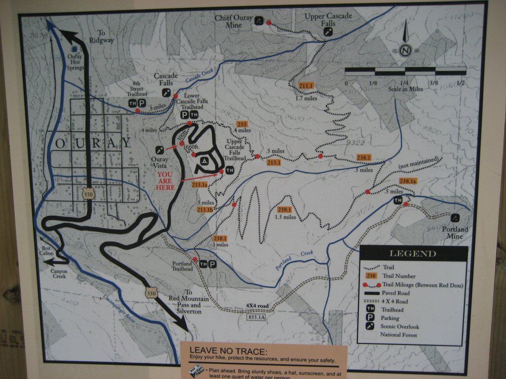
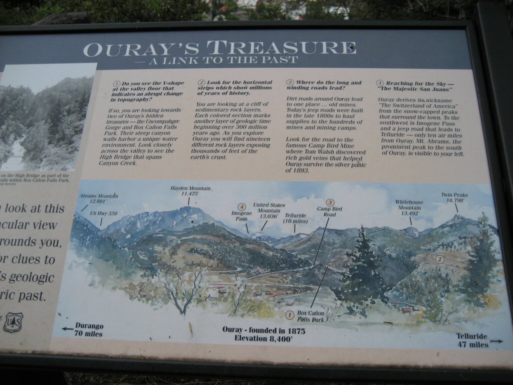
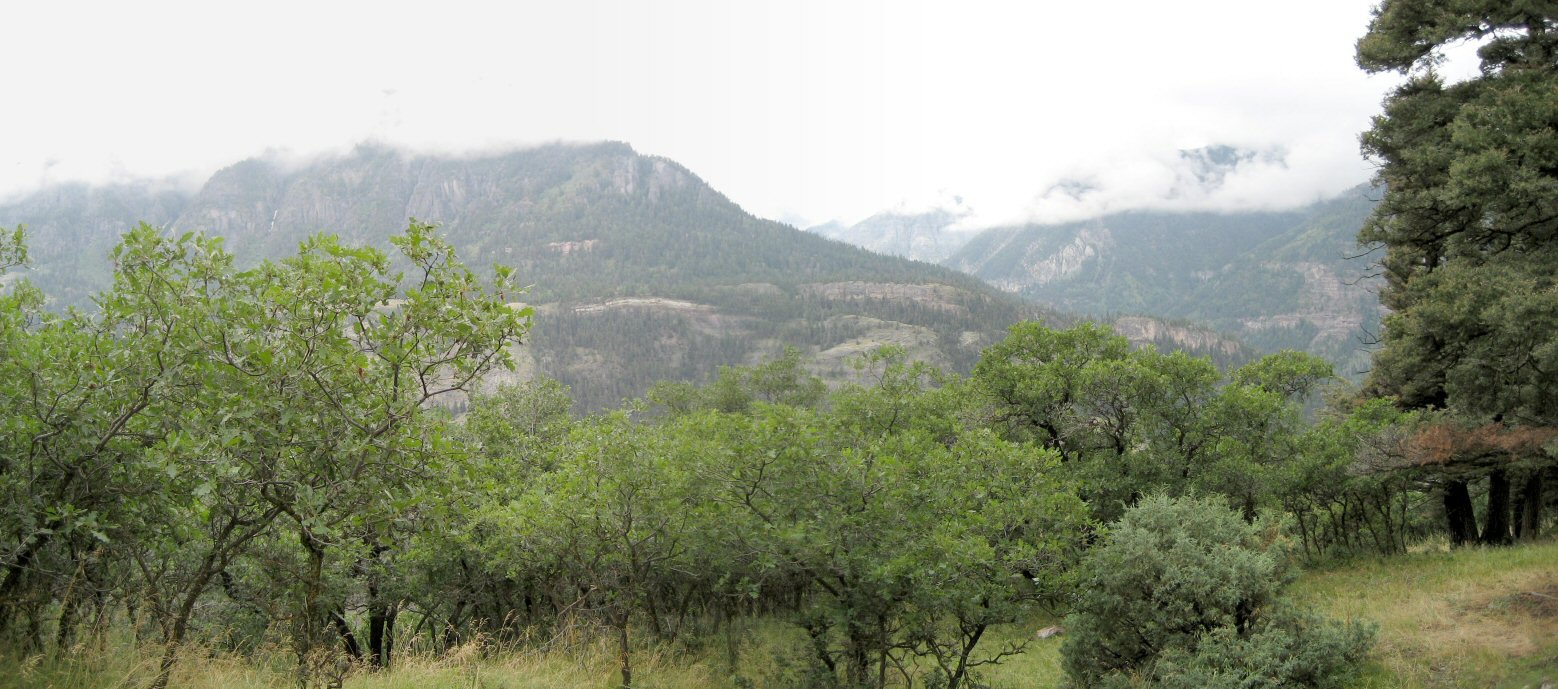
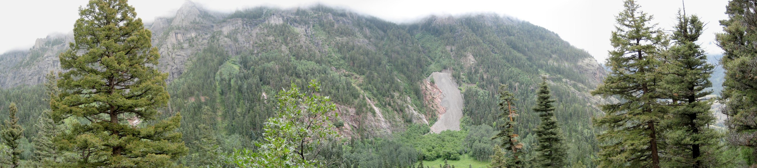
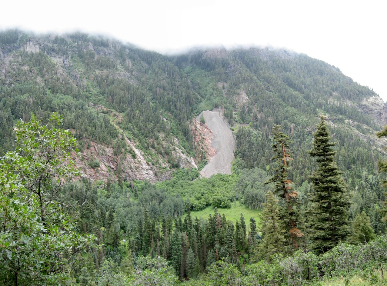
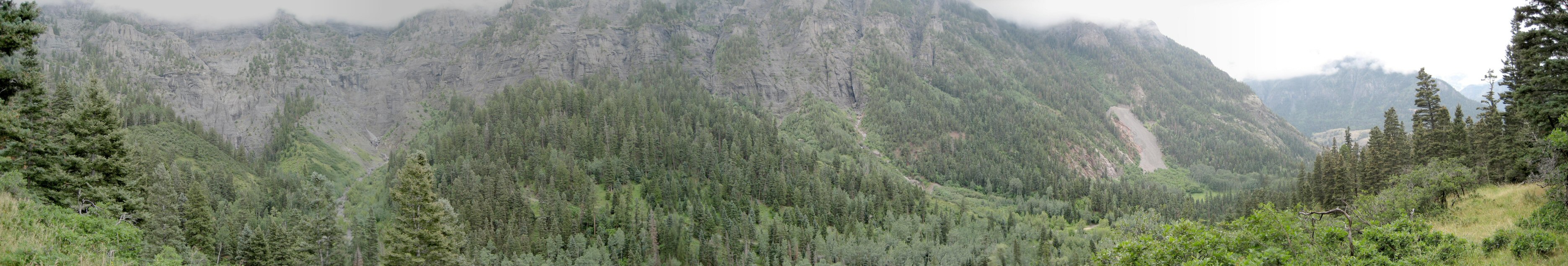
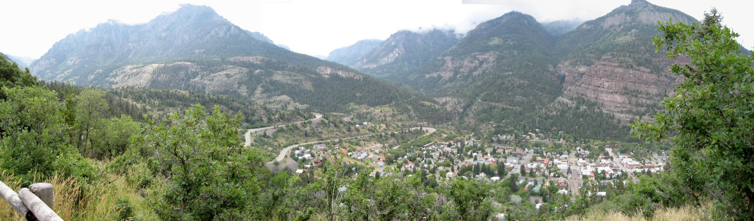
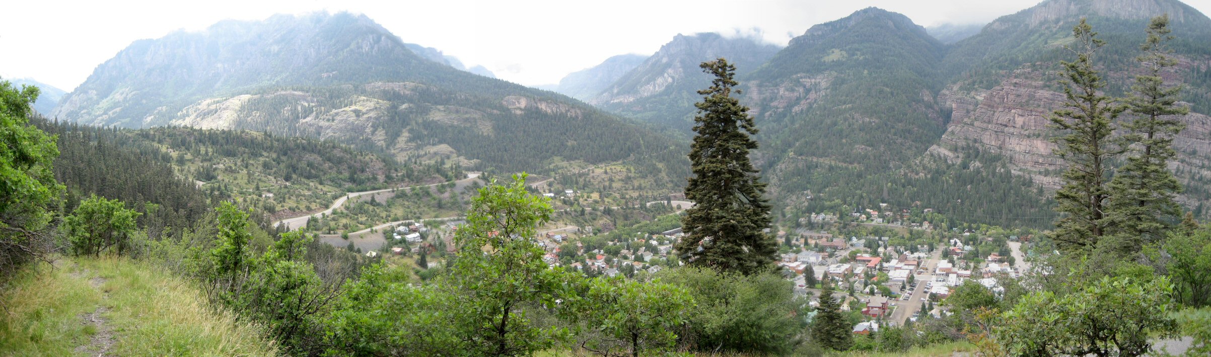
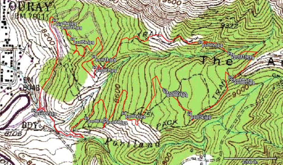
| Description: | In between of hot spring soaks, we drove to Ouray and hiked several trails to make a loop in the hills east of Ouray. We went up on Portland Trail along north rim of canyon cut by Portland Creek. Then we went down a bit more north to get some good views of the town and the mountains west of it.
Mezi pono½ovÃnÚm v jezÚrcÚch hork»ch v½Údel jsme v pondšlÚ zajeli do Ouray a proli nškolik stezek v kopcÚch na v»chod od mšsta. | |
| URL: | TopoFusion Home Page | |
| ||
| ||
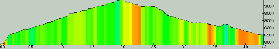
| Total Distance: | 4.30 miles (6.91 km) |
| Total Trip Time: | 2:07:15 (2:01:32 moving time) |
| Total Climbing: | 1348 feet (411 m) |
| Total Descending: | 1079 feet (329 m) |
| Average Speed: | 2.12 mph (3.41 kph) |