While at the beginning of March, the spring in SLC is only waking up, about 300 miles south, still in Utah, but close to the Arizona border, it is in full swing. Southwestern Utah is well accessible via Interstate 15 towards Las Vegas, so the area around St. George, the warmest spot in Utah, is about 4 hours drive from SLC.
Friday March 3 evening was not the best time to drive down, a cold fron was passing through. It was snowing above about 5000 ft, raining below. Since both me and my companion Gary did not feel like making a camp in the rainy darkness, we stayed overnight in a motel in a small town on Hurricane.
We slept late on Sat. morning, there was no reason to hurry on rain soaked trails. However, the sun was shining since morning and by noon the dirt dried reasonably. We picked information in local bike store and were recommended a trail right next to Hwy. 9. near Springdale, Rockville Bench (a.k.a. Slickrock Swamp) Trail. The first mile or so is on an old jeep road, but the main loop and a side trail go on a slicrock mesa with small hills and valleys. We have spent here about 3.5 hrs., it took us a while to get used to the singletrack again after winter spent on roads and on snow. The trail was awesome, however, our excitation was cooled down the next day when we learned, that the trail was created illegally on partly private and partly BLM land, and is currently closed. The closure is valid for three years, after which the status gets reevaluated. We were basically told, that if we stay off the trail for now, there is a high chance to BLM will open the trail again. Therefore, I want to urge every responsible mountain biker to stay off this trail now and don't believe what people at Bike Zion in Springdale say.
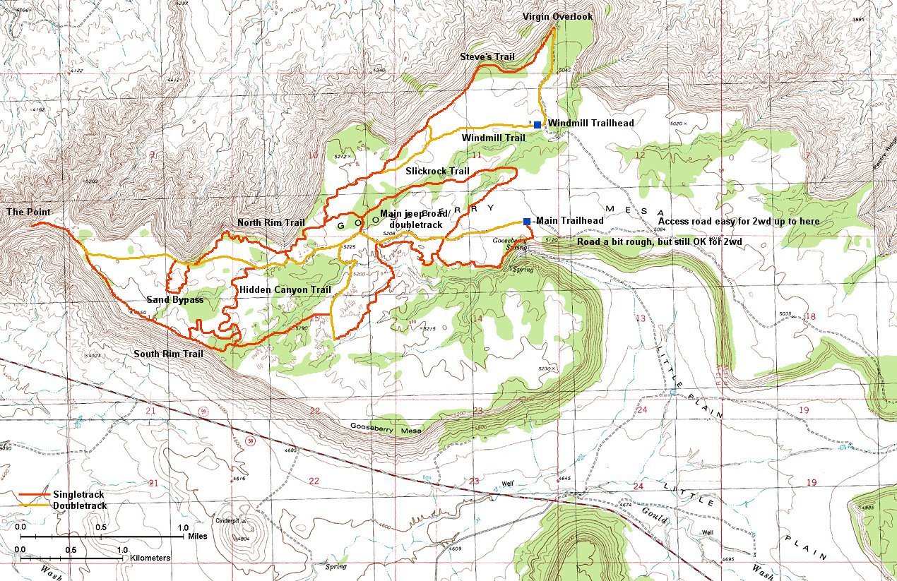
In the late afternoon we drove on a moderately muddy road (first real test for the Outback, passed) to one of the plateaus south of Zion, Gooseberry Mesa. It is located at about 5000 ft., 2000 ft. above Hurricane. It was noticably colder there, and it froze overnight, but nothing serious. The reason we came there is a vast network of bike trails that was created here by a cooperation of local bike enthusiasts and BLM. A good example how cooperation can achieve long lasting results. We found a very nice campspot close to the trailhead, with great views to the Zion and other cliffs.
We rode Gooseberry Mesa on Sunday. As can be seen on the map (390 kB), there is a maze of trails in a maze of sandstone formations. We started on the south side, then rode Hidden Canyon Trail up and down, and continued on the south rim to the Point, the westernmost part of the mesa. Then we continued on the north rim and via some hard to document trails to the Windmill loop and on the north rim again back to the Slicrock 101 loop (a reasonably good training area similar to Moabs's practice loop). All this took almost 5 hours with ample photo stops, length about 35 kms. We were pretty trashed at the end, the surface is pretty rough, a lot of small ups and downs, the trails are about 70% slicrock, the rest rocky/sandy singletrack. Tired but happy we packed up, stopped for a good and cheap dinner in a family restaurant in Hurricane and were back in SLC by 10pm. We're coming back....
At the Rockville Bench trailhead. This parking lot also serves Chinle Trail, which leads into Zion NP.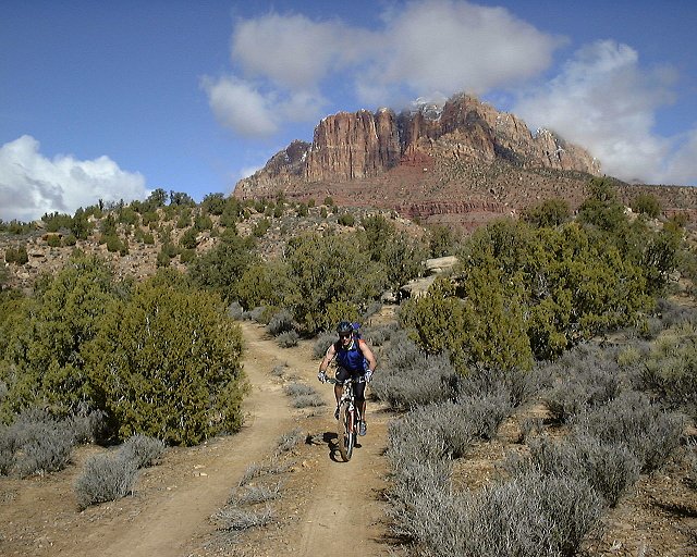
 On a jeep road that is now Chinle Trail before it enters Zion NP.
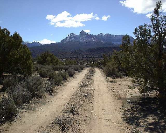
 Panorama from the Zion NP boundary on the Chinle Trail and to the south-east.
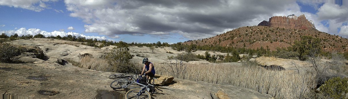 Hole in the sandstone, where is a permanent pool, which gave the trail its other name, Slickrock Swamp.
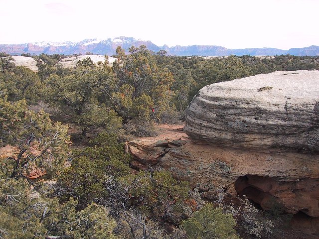
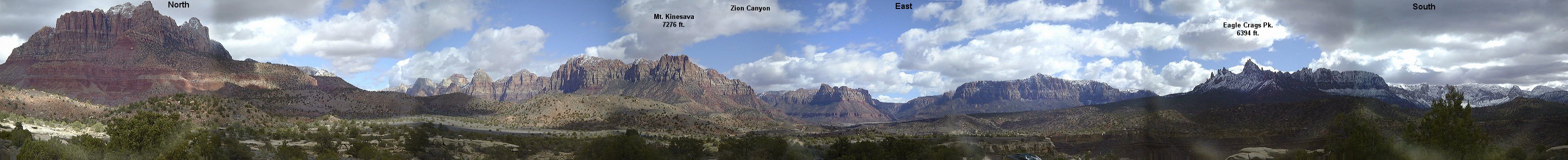 Panorama from Rockville Bench east.
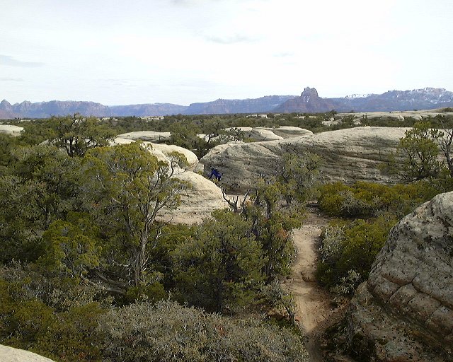
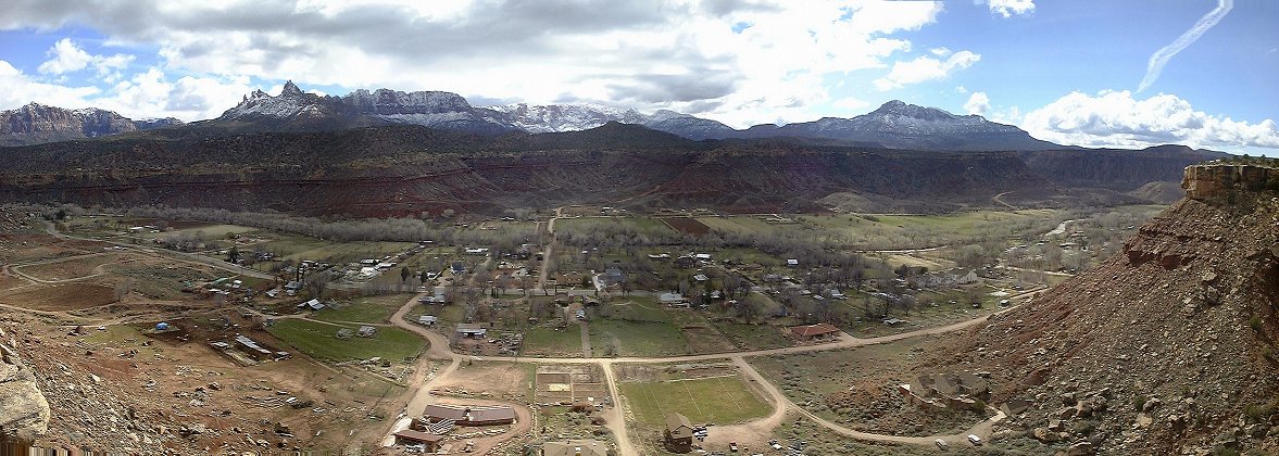 Panorama from the southern end of Rockville Bench to the south, the town of Rockville and Hwy. 9 leading to Zion NP.
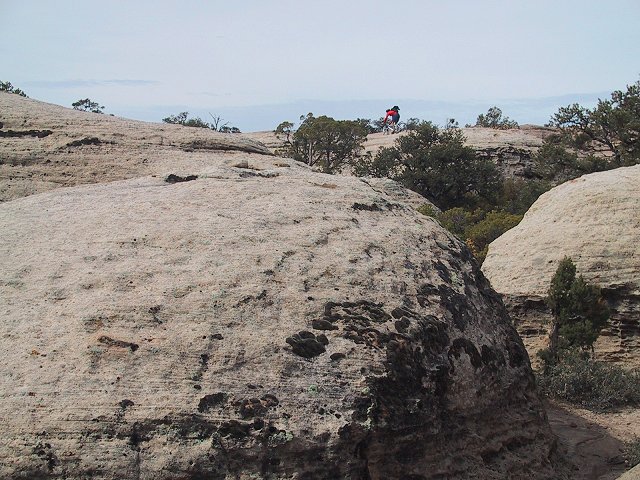
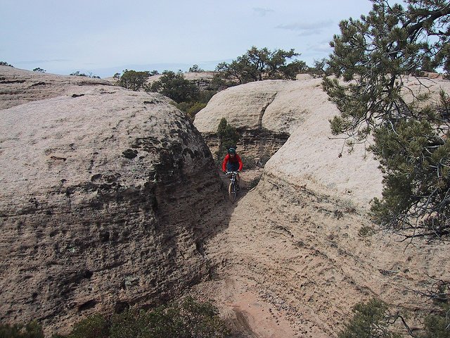
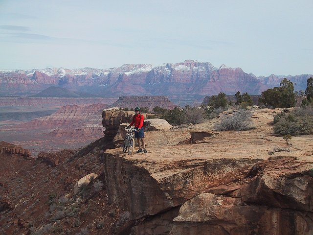
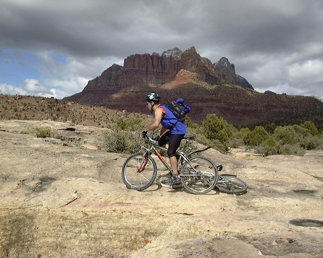 Gary over a cliff on the southern end of Rockville Bench.
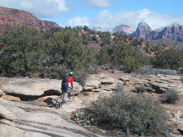
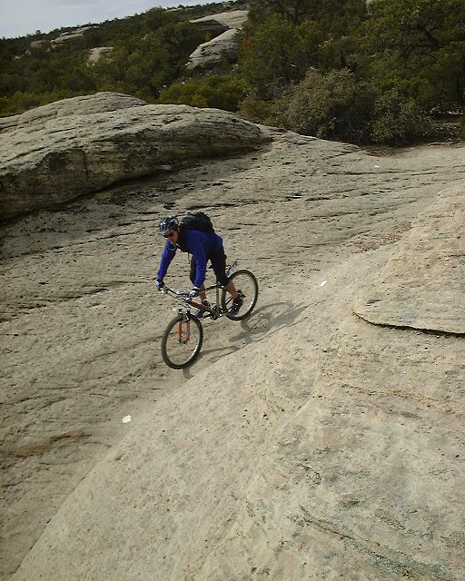
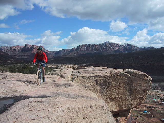 Two shots of me on Rockville Bench.
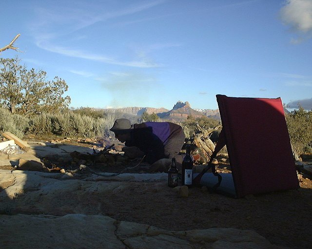
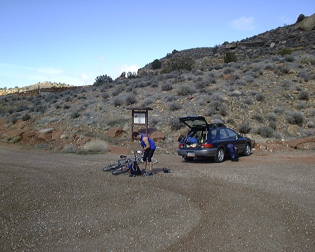
 Few shots from the evening on Gooseberry Mesa. Note some mud on my car. Cars that came in the morning were covered with mud.
 Panorama from our campspot on Gooseberry Mesa.
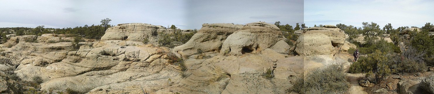 Panorama from the South Rim trail on Gooseberry Mesa about 1 km from the trailhead.
 Gary battles the sandstone at the same spot.
 Panorama south with me a bit futher up the trail.
 Panorama from the South Rim trail about 1 km east from the Hidden Canyon Trail junction.
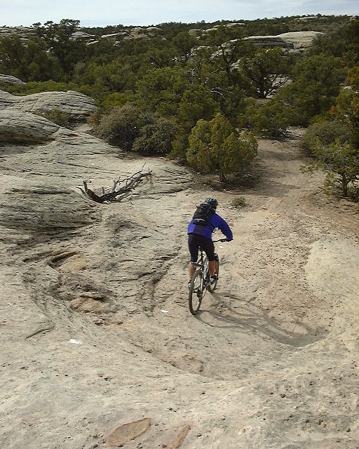
 Shots from Hidden Canyon Trail, which goes through and around lots of small sandstone hills.

 More shots from Hidden Canyon Trail, now from Gary's camera, show a progression of my ride through the maze..
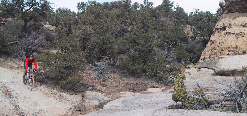 Slightly panoramic shot somewhere on the Hidden Canyon Trail.
 Mike and Morgan Harris, founders of the trails on Gooseberry, who we were honored to meet on Hidden Canyon Trail.
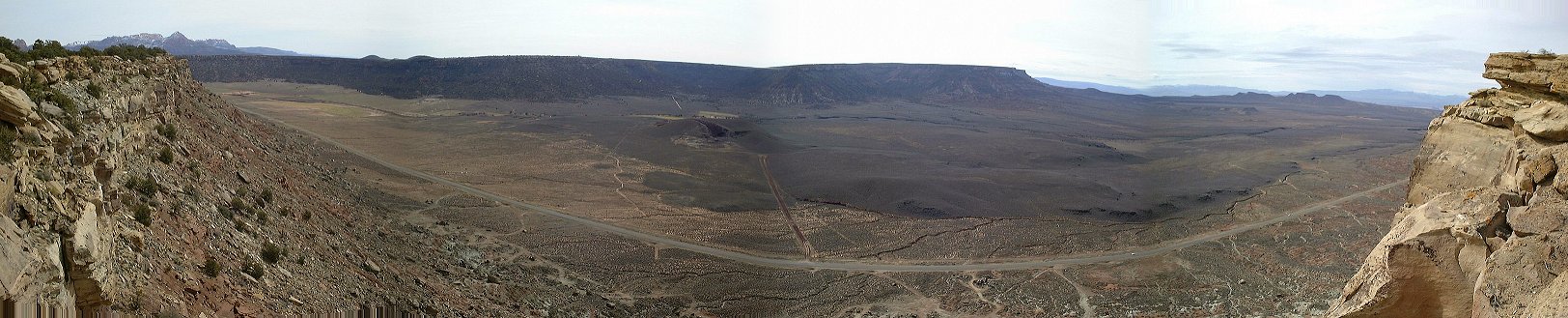 Panorama from the southern end of Gooseberry Mesa na jih.
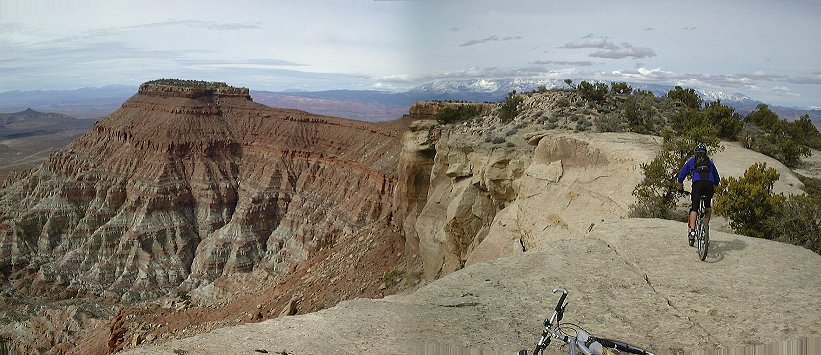 View to the Point from the southern cliffs of Gooseberry Mesa.
 Panorama from the Point north.
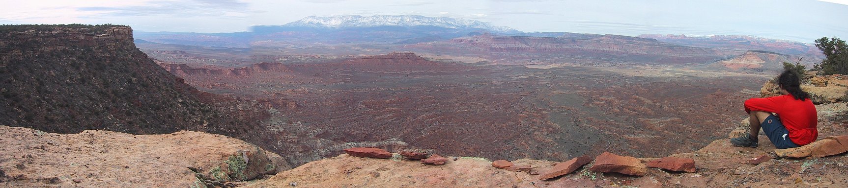 Gary's panorama from the Point north.
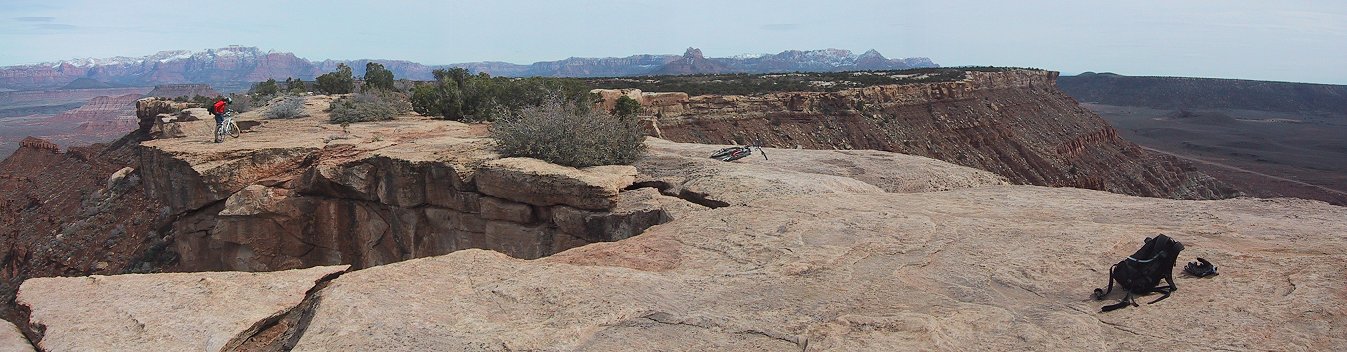 Gary's panorama from the Point east.
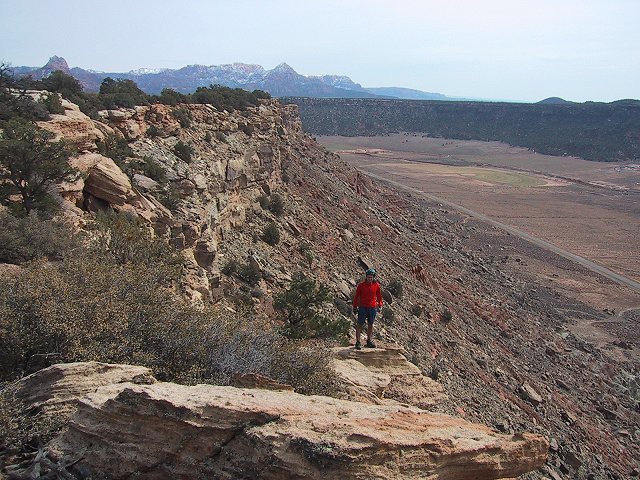
 Me on the and near the Point.
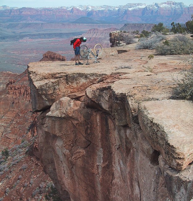 Bike checkup on the Point.
U of U / CHPC / Cuma / Travel / English / Mtn. bike in SW Utah
URL: http://voth.chem.utah.edu/~mcuma/sw_bike01e .html