Auburn SRA ride map and pictures
Here is the map of my tracks as taken by the GPS and plotted using the demo version of Topofusion (260 kB), and here is the elevation profile.
The area surrounding North and Middle forks of American River is called Auburn State Recreation Area, and includes numerous trails. Most of them are remnants of jeep roads, but, with help of several internet resources and common sense, I patched about 50 km ride with ca. 1400 m vertical change on 70-80% singletrack. Some of it was quite spectacular, as may be seen from pictures below. I started in the town, and rode down to the SRA ranger station, then found Manzanita trail, which is a nice singletrack on the canyon side, then up Stagecoach doubletrack, turning right onto Upper Stagecoach and Mossy Rock Trails (mix of st. and dt.), dropping to the river confluence. Then up Lake Clementine trail (starts as dt., turns into st.), onto Clementine Dam road, about 1.5 miles up on the road, and turning left onto a new st. right before the Dam road merges with Forestville road. This new st. is signed as banned to bikes, but it's too nice to skip, and connects to the Forestville Divide loop in about 2-3 miles. Then did the Divide loop (9 mi. of singletrack), rode back on the Forestville Road to Culvert Trail (although it would be possible to find some st./dt. to drop to Mammoth Bar and up to Culvert - I was getting too tired), then Confluence Trail dropping back to the river, and up Stagecoach to the car.
Auburn SRA contains numerous other trails, but from the map that I have seen at the spot, most of them are old jeep/forest roads, or singletracks closed to bikes. I believe that the loop that I did includes most of the singletrack in the area.

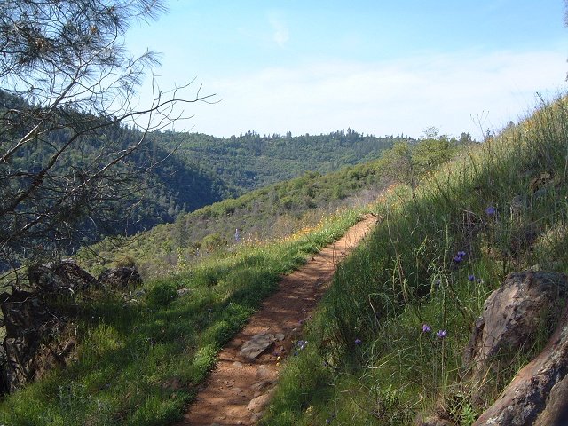
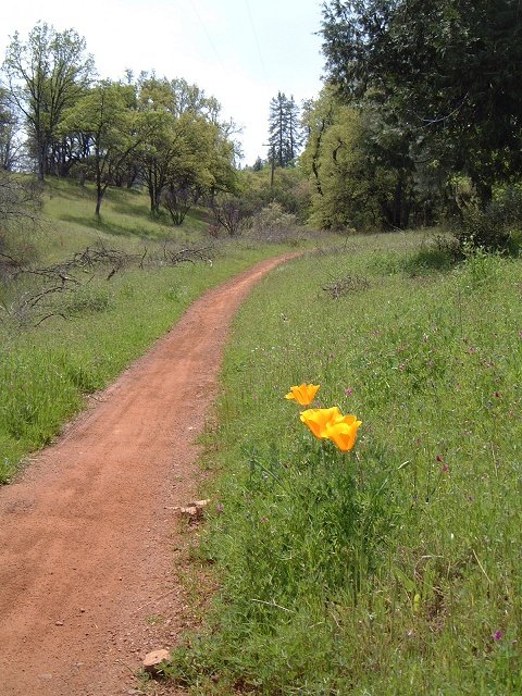
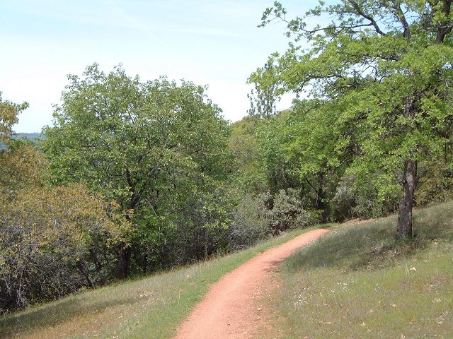
Manzanita singletrack.
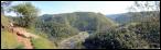

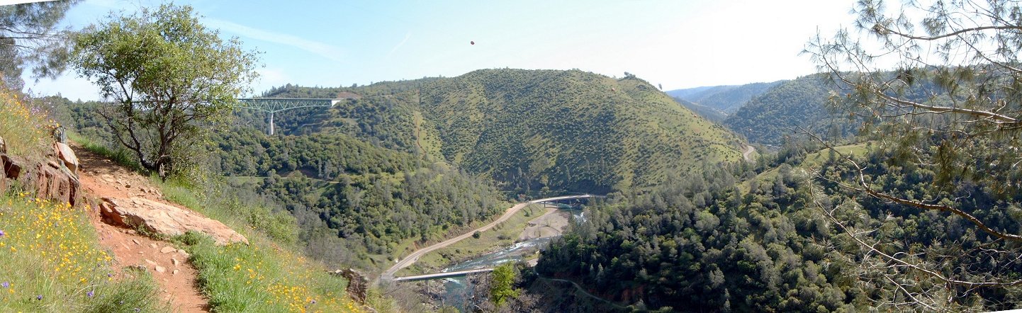
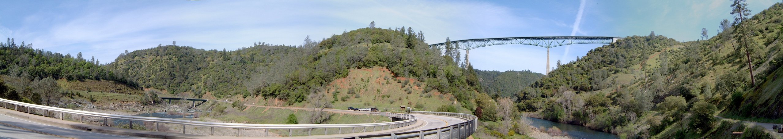
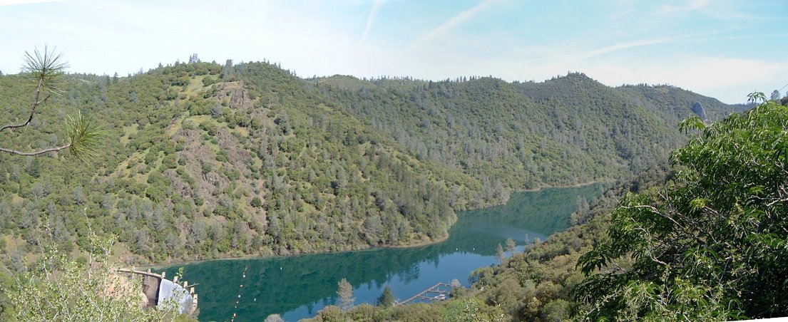
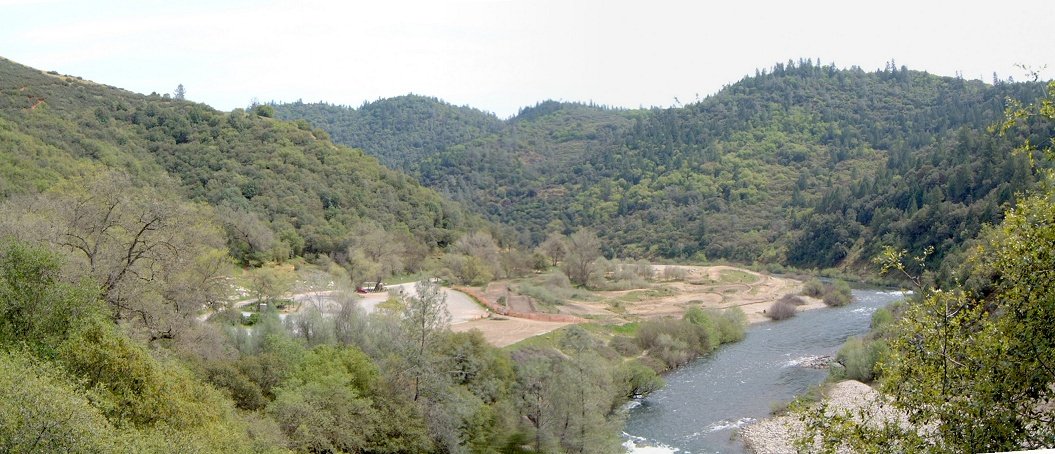
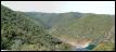
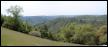
Panorama from Manzanita trail east to the confluence and Foreshill road bridge (known from several action flicks).

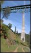
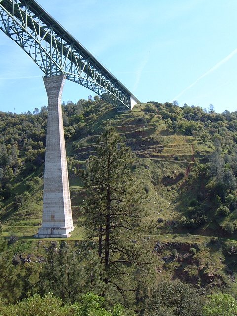
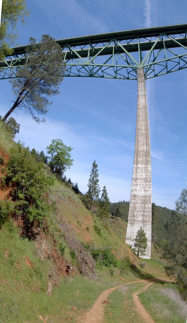
Details of the bridge from Moss Ledge trail.

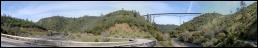
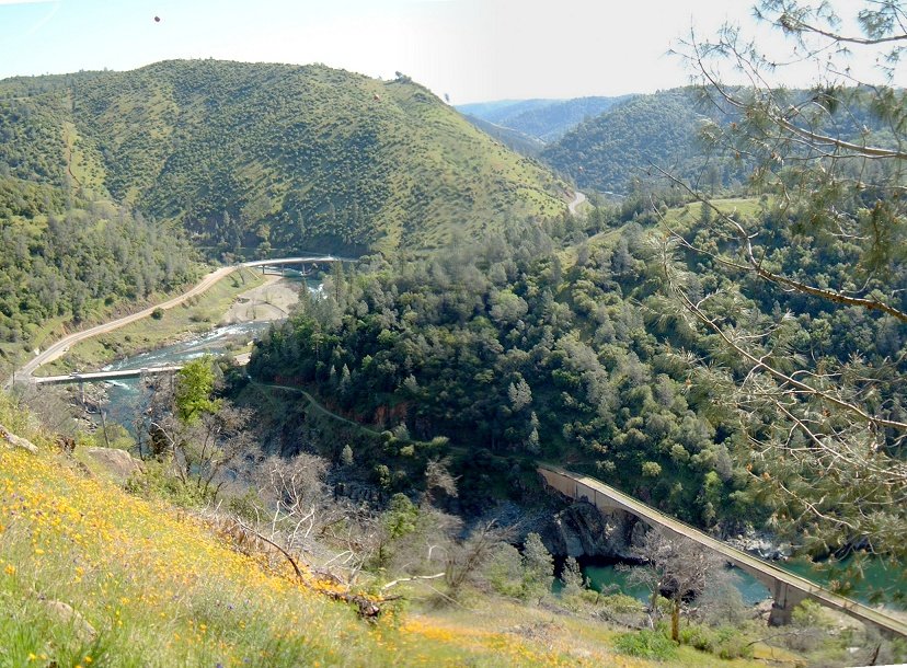
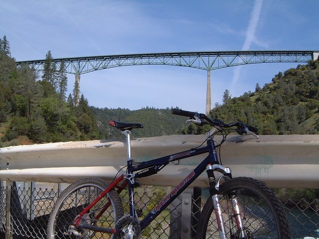
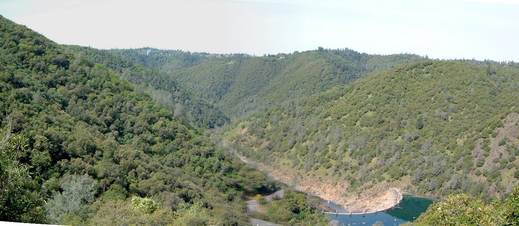
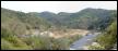
Fotos from the bridge before confluence, my bike, and panorama of the area, Clementine trail heads up the river on the right.


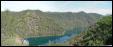

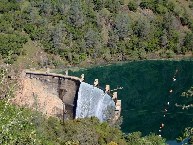
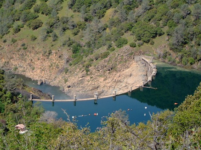
Views at the Lake Clementine dam from the dam road.
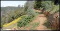
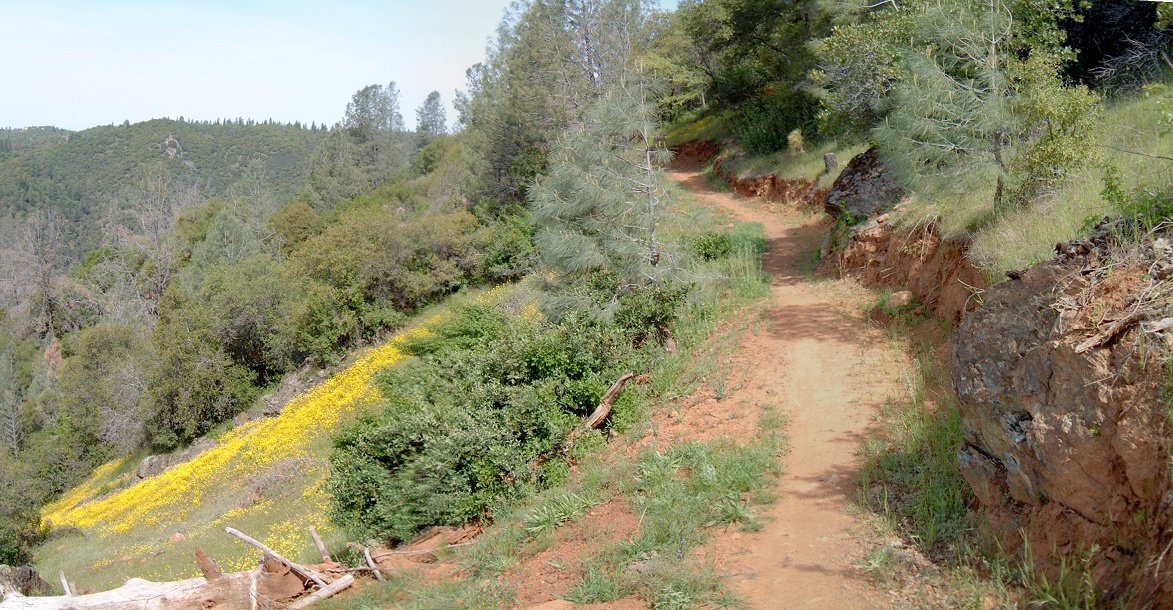
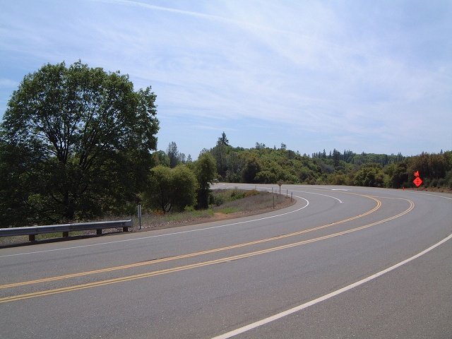
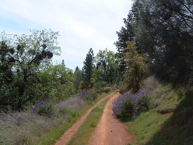
Singletrack connecting Clementine dam road with the Foresthill Divide loop trail.
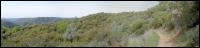
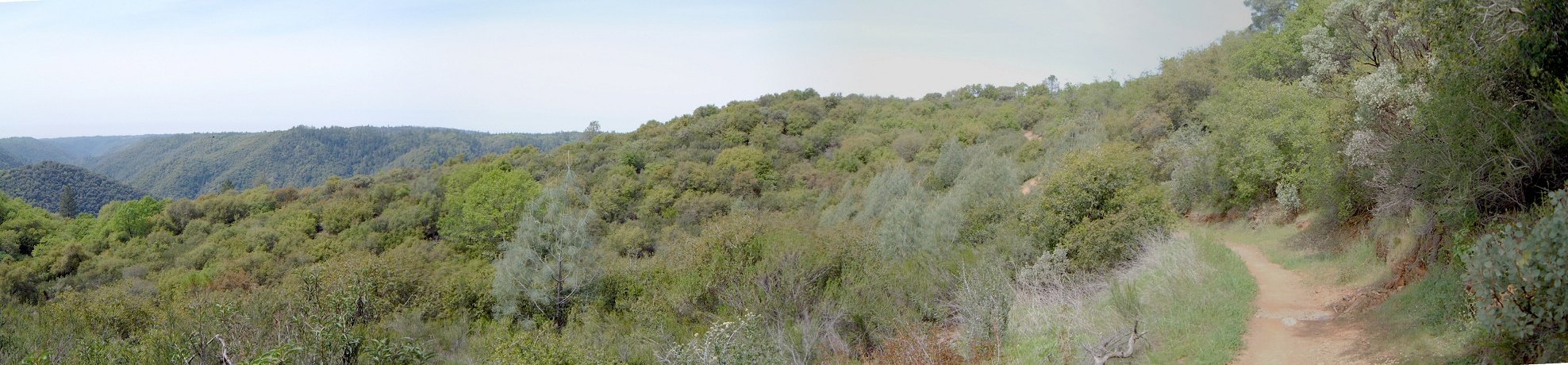
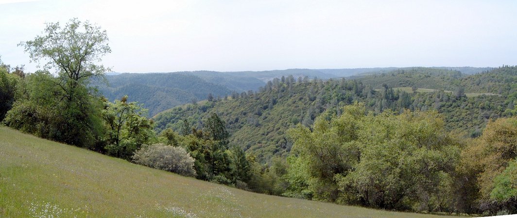
Panorama from the northern side of Foresthill Divide loop trail.

Eastern end of Foresthill Divide trail crossing the road, and panorama of the area.


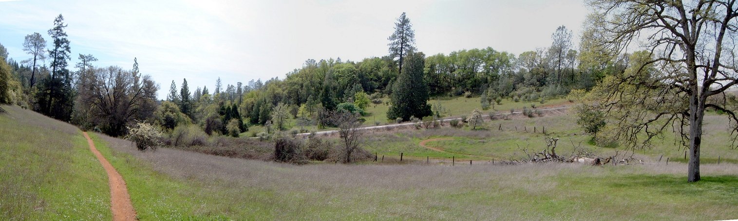
Several views from the southern part of the Foresthill Divide loop.
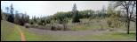
Mammoth Bar OHV area, where I inadverently descended after taking a wrong turn. Fortunately, it's not opened to OHVs on Wed.