Rockville Hills ride map and pictures
Here is the map of my tracks as taken by the GPS and plotted using the demo version of Topofusion (260 kB), and here is the elevation profile.
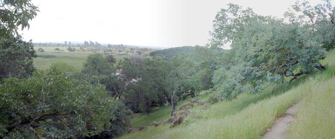
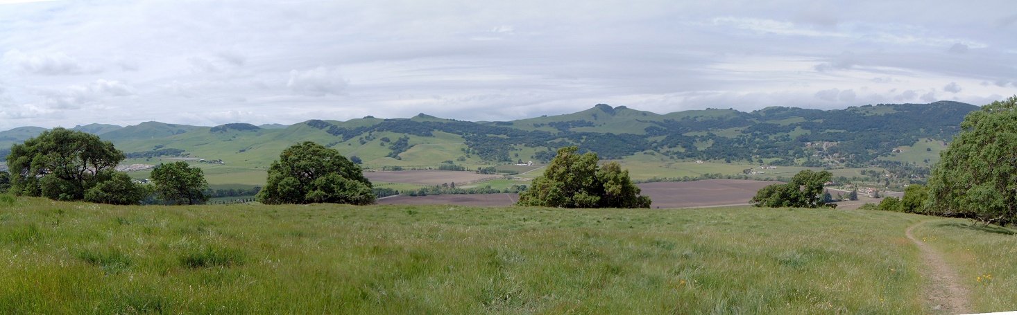
The trails are dense and often confusing, so, I would suggest just ride around first. The southern and eastern part of the park is a bit more tree covered and rocky, central and northern parts have sparse tree coverage and meadows.
Southern part of the park with view south.

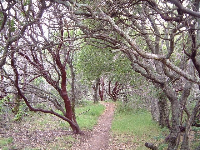
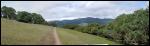
A cool singletrack under subtropical shrubs.
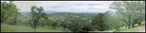
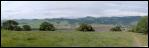
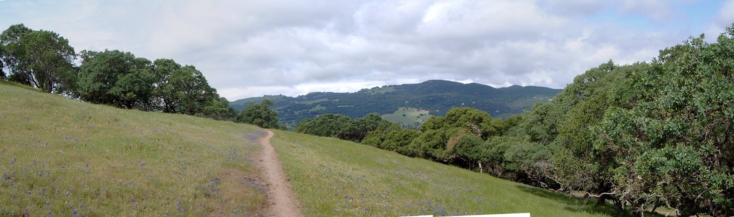
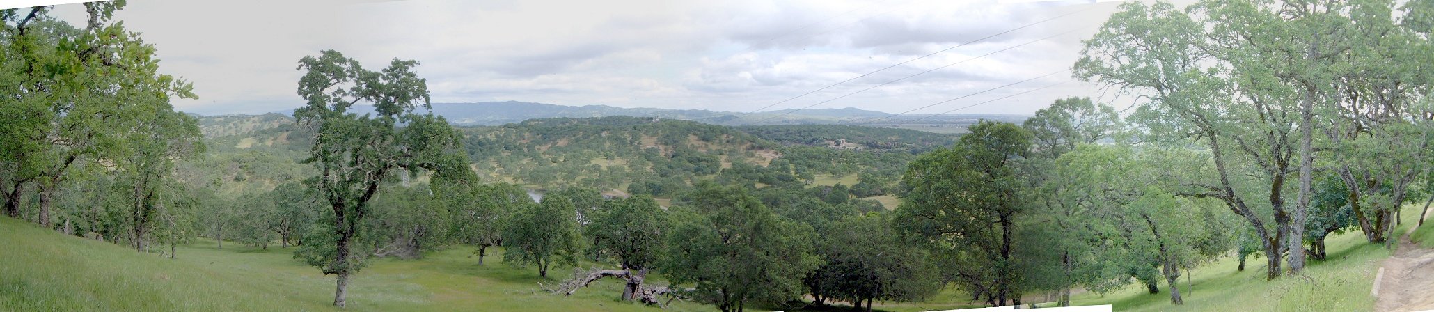
Several panoramas from the central and northern (higher) parts of the park.