Salmon Falls and Sweetwater trails map and pictures
Here is the map of my tracks as taken by the GPS and plotted using the demo version of Topofusion (260 kB), and here is the elevation profile.
The trail starts off Salmon Falls Rd. near the bridge over South fork of American River, and follows the river's right side for about 7 miles to the Peninsula Campground. Since it rained all weekend, the trail was locally wet, but it was bearable as the soil is kinda sandy. There were just occasional puddles and numerous small creek crossings (with three bigger ones), not much mud. I rode to the campground (where I stayed on Wed) and back to the car, and then the Sweetwater trail on the southern side of the river. This trails goes only for about 2.5 miles one way. So, it was a bit over 30 kms with about 800 m. vertical, mostly on singletrack, with some enjoyable views of the lake and vegetation around. There was quite some poison oak alongside both trails, I got some on my right hand. For future reference, it would be the best to camp at the Peninsula campground, do the whole ride in a day along with a couple of other forest roads (see map) and camp another night.

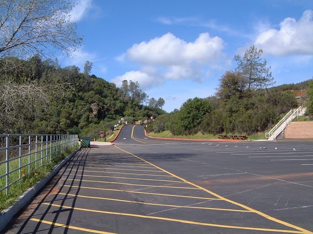
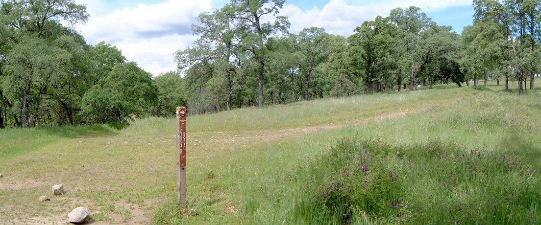
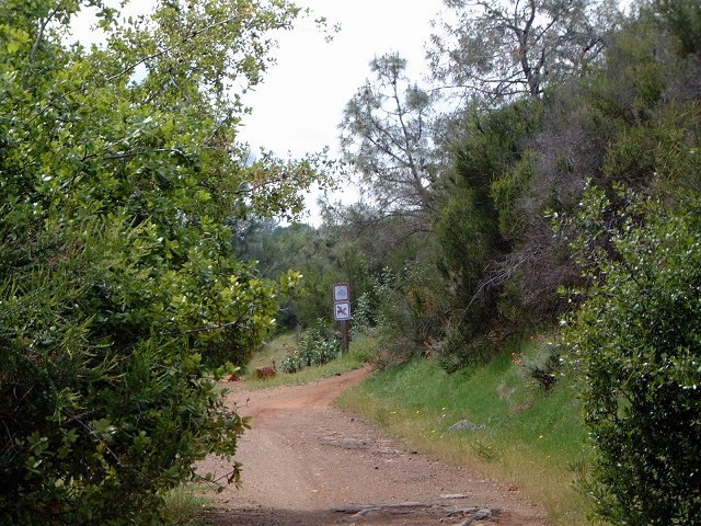
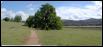
Parking lot at the trailhead.
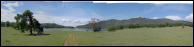
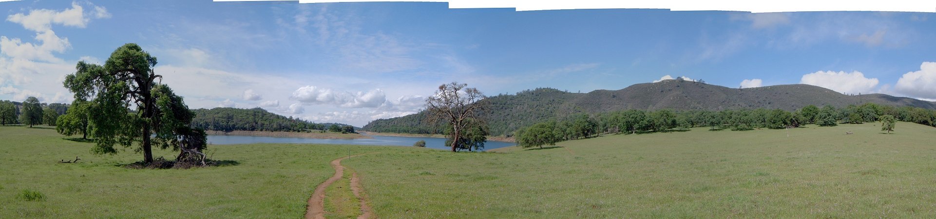
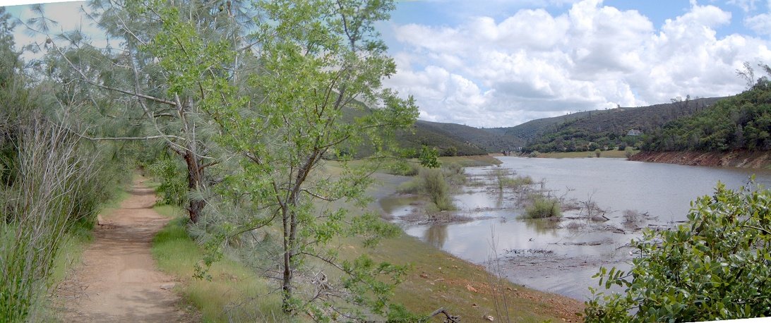
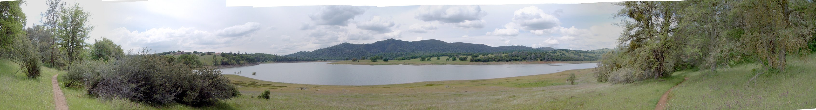
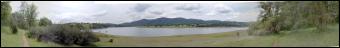
Panorama of the lake and surroundings about 5 km into the ride.
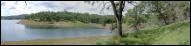
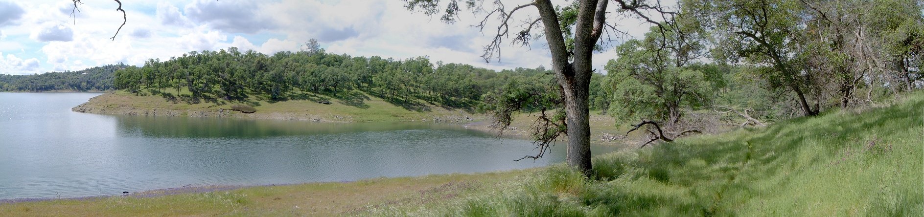
A small bay towards which leads a dead end trail/jeep road near the end of Salmon Falls trail.
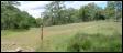
Intersection that marks the end of the Salmon Trail st. about 1 km from the Peninsula Campground.
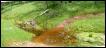
The deepest creek crossing that resulted in getting the feet wet.
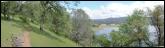

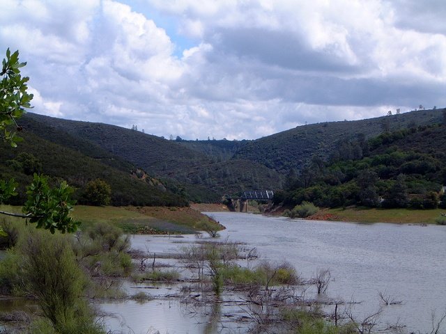
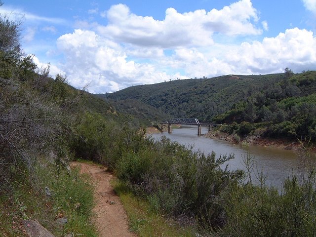
A view up the river (east) on the way back about 1/2 way through and the trail behind.
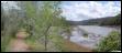


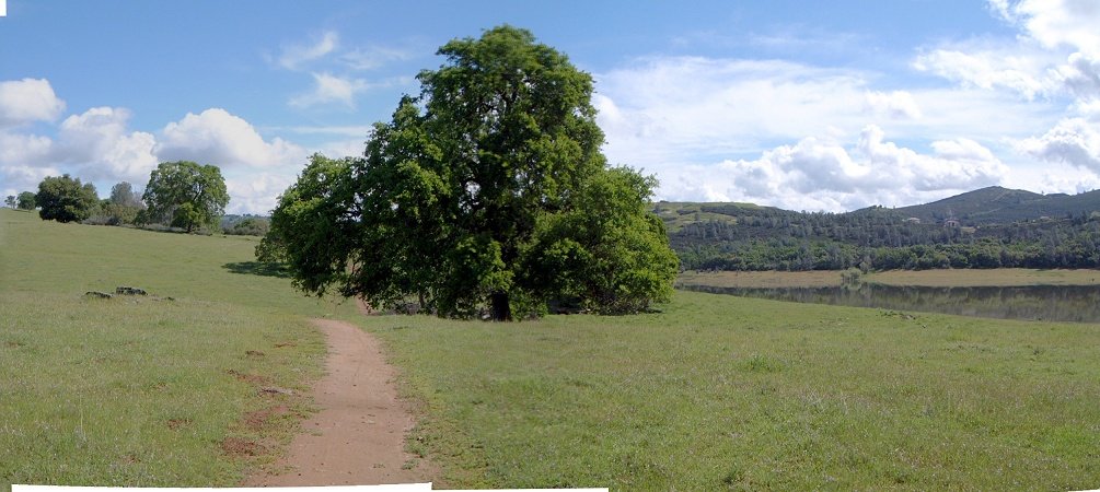
Views from the trail about 2 km from the start (at the bridge).


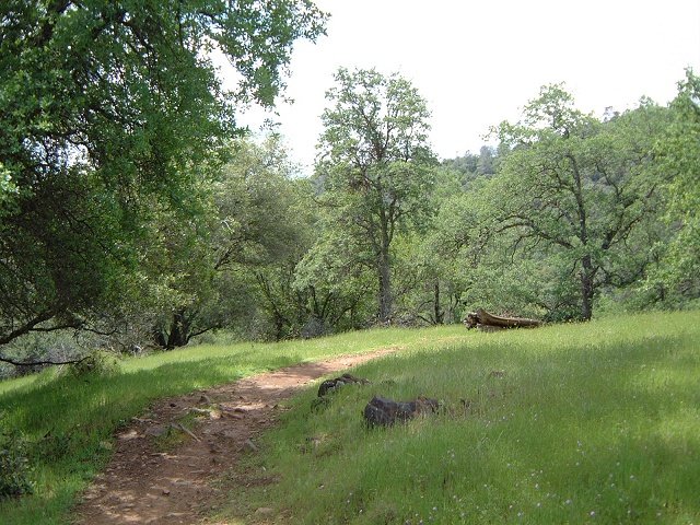
Two views yet closer to the trailhead, the trail here goes through drier bushes.
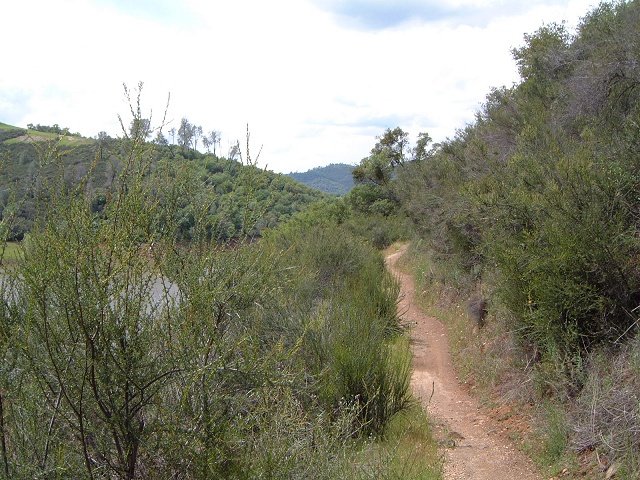
Nice singletrack section of Sweetwater trail near its end.