Trips in the summer 1999
Taos and Santa Fe
In mid June, I attended a three day workshop in Santa Fe. Since we arrived a day earlier, we went to Taos Pueblo and surrounding mountains. Next days, when the time allowed, I walked around the city.
Pictures
 Taos Pueblo, cemetery and view towards one of the two large buildings.
Taos Pueblo, cemetery and ruins of the old church.
Taos Mountains, in the saddle at about 12000 ft.
Taos Mountains, ridge above the saddle where we did not go because of a thunderstorm.
Street in Santa Fe.
Santa Fe center, from a nearby hill.
Santa Fe central square, pretty lively all day.
Mural on a wall in Santa Fe.
Santuario de Guadalupe church in Santa Fe.
Hotel Santa Fe, where we stayed.
Boulder and Rocky Mountains
Another conference, that took place in Boulder, Co. at the end of June. I did few small hikes during the week and then camped for the weekend for two nights at the USFS Pawnee campground in the Indian Peaks Wilderness (south of the Rocky Mountain NP), and on Sunday drove thru RMNP and camped on its western side.
Pictures
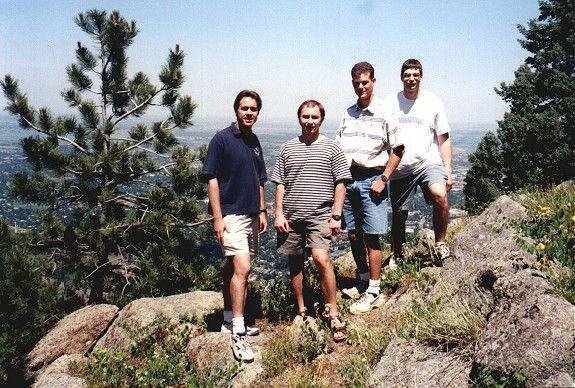
Monday Hike, our group on the foothills, Boulder below.
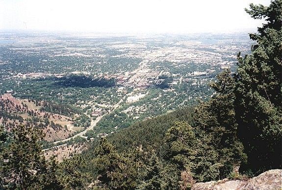
Monday Hike, mouth of the Boulder canyon with the city below.
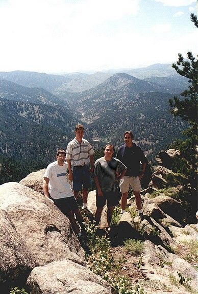
Monday Hike, view towards the top of the canyon.
Hike on the Mt. Meeker
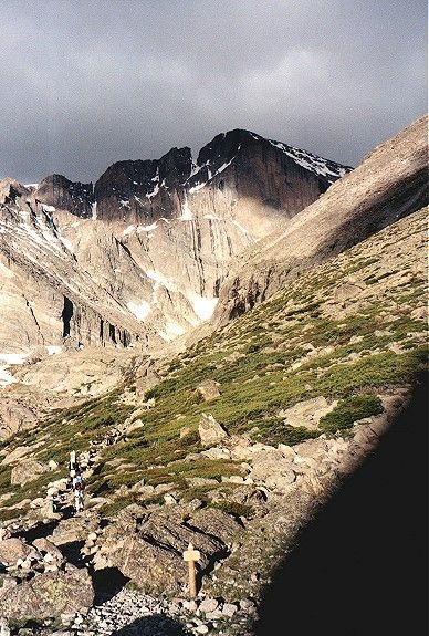
Presumably the second highest mountain in the Rocky Mountains NP, 4240 m (13911 ft.). We decided to do this one instead of Longs Peak, because the trail there was icy. Route to Meeker was without complications, thru a large snowfield into a saddle and then boulder hopping to the top. The only problem was strong wind.
Mt. Meeker from about 11500 ft., we took the very right snowfield up.
Longs Peak from the same spot.
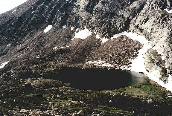
Peacock Pond, a small lake at the foot of Meeker.
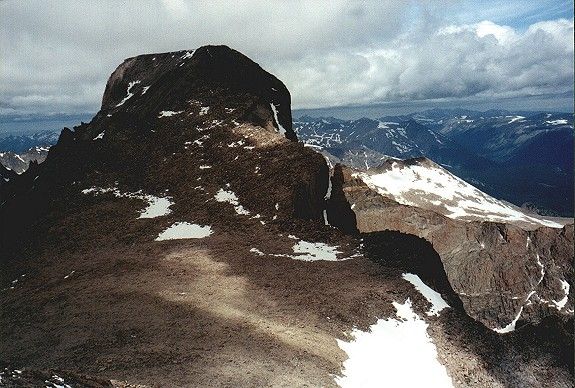
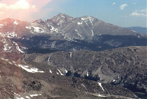
Longs Peak from the top of Meeker.
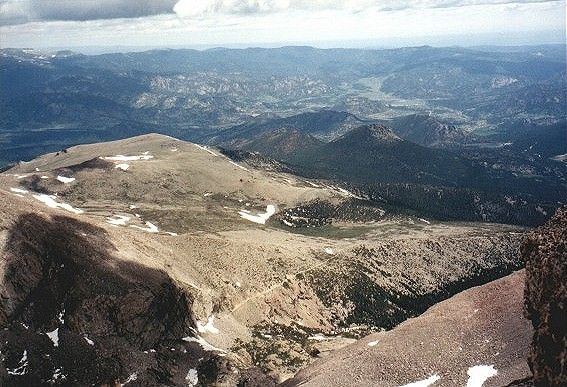
Ridge east of Longs Peak from the top of Meeker, Estes Park area in the distance.
Valley where we came from from the top of Meeker.
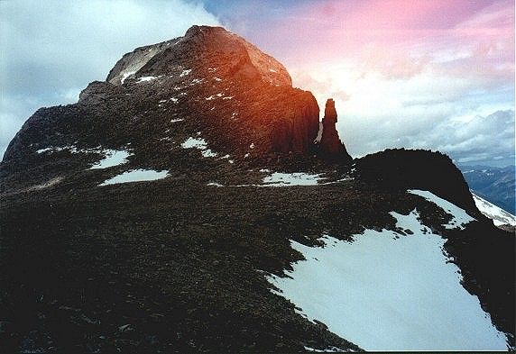
Ridge of Meeker to the southeast, the Peak to Peak highway is visible.
Longs Peak from the saddle between Meeker and L.P..
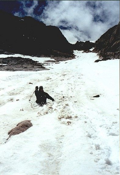
Before the slide down the snowfield from the saddle.
Sliding down .
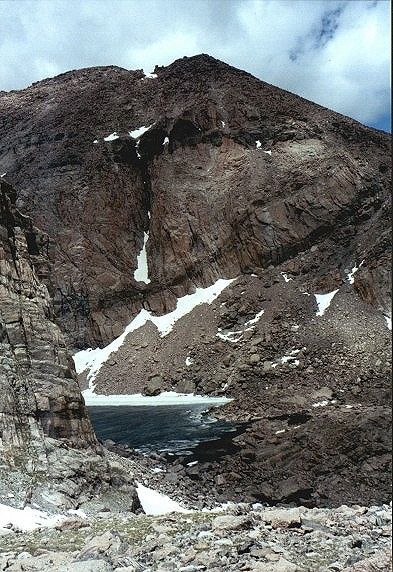
Chasm Lake under the east face of Longs Peak.
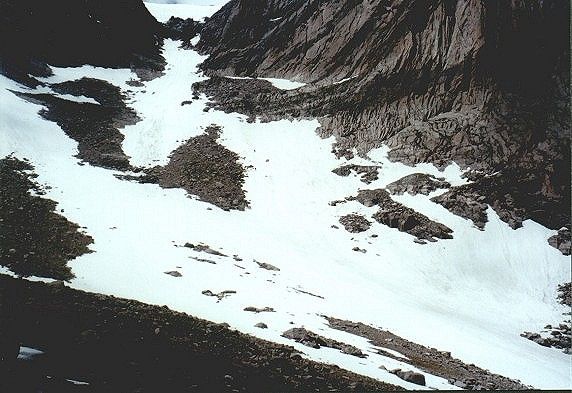
The valley we went to the saddle.
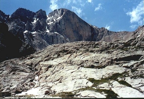
Another view on the east face of Longs Peak.
Indian Peaks Wilderness
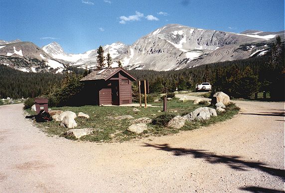
We stayed at the Pawnee Campground, on the shore of Brainard Lake, at about 10300 ft. On saturday, I hiked to the Mt. Auduborn, 13223 ft., about 4 miles one way.
Brainard Lake and another reservoir from about half way to the summit.
On the top of Mt. Auduborn, view to the north, to Mt. Meeker (right) and Longs Peak.
View towards the Mt. Auduborn from out campsite at Brainard Lake.
Rocky Mountains NP We drove on the Peak to peak Highway north to Estes Park and then across the mountains to the west.
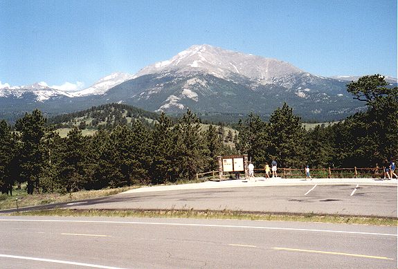
Mt. Meeker from southeast, from a view area on the Peak to Peak Highway.
Me and Galina, Mt. Meeker and Longs Peak in the background, now from the east.
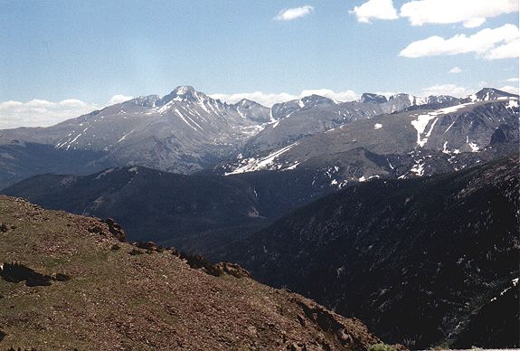
Longs Peak from north, just after enterance to the National Park.
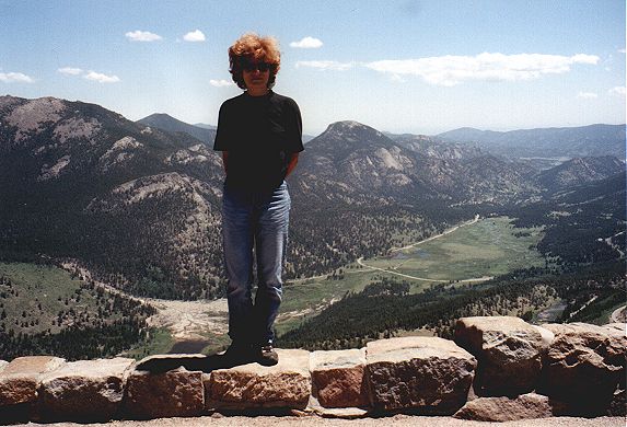
Galina on the edge, on a switchback of the road going thru rhe NP, this view is to the east to the valley towards Estes Park.
Longs Peak from the same road, close to the highest point on the road.
Upper Colorado River valley, where we stayed last night.
Back Questions and comments
U of U / Chemistry / HEC / Voth Group / Cuma / Travel / English / Summer 99
URL: http://voth.chem.utah.edu/~mcuma/sum99e.html
Last updated: 21-Jul-99 / mc