This year was relatively rich in snow, and it made it also to the Bryce Canyon area. Finally, it was possible to fulfill the old desire to ski around the hoodoos of the National Park. In January, I was busy around SLC, so we made this trip in the second weekend of February.
We set out of SLC at around 7pm, and in about 4 hours arrived to a small town of Tropic, 10 miles east of the park, where I had reserved 2 nights at one of the numerous motels, Doug's Place. The office was already closed, but our room key was hanging in an envelope on the office door, as we previously agreed. Winter is a slow time for local hoteliers, we were the only ones in this motel that night. The tab, $25, less than half of the summer rate, and quite cheap compared to Ruby's Inn, a motel right at the park entrance, which charges $45 in the winter. The 10 mile drive was worth it. The room was basic, but warm, and the TV had a remote control (as opposed to the equally priced motel in Parowan). As an added bonus, the room offered several copies of Book of Mormon in French as a gift (gratefully refused).
Contrary to the forecast of cloudy skies and occasional snow showers, the sky was clear on Saturday. We woke up pretty late and then drove to Ruby's to get info on the skiing. They groom some trails on the plateau northwest of the Bryce rim. However, the snow was very icy. I got a leaflet with a map of the trails both outside and inside the park. Reluctant to pay $20 entrance fee to the park, we parked the car at the park border, where is a small parking lot. We were not alone. Around noon, we put the skis on and skied east on one of the groomed tracks. However, it soon started to turn north, so we cut it in the thin pine forest along the NP border fence. Eventually, we had to climb over it, and after a short downhill ended up on the canyon rim about 200 m. north of Fairyland Point, first viewpoint in the park. Road here is not plowed in the winter, so we were there alone. The ski track continued north along the rim. It seemed to be well travelled, unfortunately, it was also quite frozen and dotted with holes from several walkers and snowshoers. All this was slowing our progress and making the trek tiring. Also, the trail for the next mile was mostly uphill and sometimes narrow. However, the scenery was compensating the hardships. After a wicked downhill from hill 8155 on a narrow and frozen trail, we turned up at a snow-covered campground and soon were at the Sunrise Point. Here we met few cars and people, ate lunch and continued to Sunset Point. By this point, we have had enough scenery and wanted to get back to the car. We walked on the road to Sunset Point for a while and then skied along the road north. We stopped for a while at the park's visitor's center, and got back to the car somewhat 4.30 pm, just on time to see the park ranger to close the pay station. So, for those who want to save $20, in winter, you can see the park after 4.30 pm for free. We drove back to Ruby's and had a dinner there, and then drove to the park, to see the hoodoos in the dark. Unfortunately, the skied clouded up, so there were no stars or moon, and thus little light. We froze there for few minutes and then drove back to the motel.
One day of skiing in a bad snow was enough, so for Sunday, I planned alternative program. First was about 3 mile drive on a dirt road from Tropic to the park boundary at the bottom of the canyon. There was about 5 cm of fresh snow that fell overnight, and to my surprise, the trail that goes from the road end into the canyon was fully covered with snow. So we put our skis on and skied the 2.5 miles to the Navajo Loop intersection. The weather was very nice, quite warm and partly cloudy. I opted for continuing up one of the numerous dry creek beds until I could not go any further, and then joined Dina to walk the Navajo Loop from the bottom up to Sunset Point and back. After that, we put our skis back on and zoomed down back to the car. The whole business took about 2.5 hours of good skiing and unconventional sights. Since it was only 1.30 pm, we drove 15 miles east to Kodachrome Basin State Park, which I wanted to check out. Needless to say, we were the only ones there that day. We walked about a mile long loop to overlook the park and then drove to one of the park's landmarks, Chimney Rock, which made it to the National Geographic in 1949. About 2 hours were all that we could take there and set out for a drive home, being back in standard 4 hours.
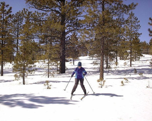
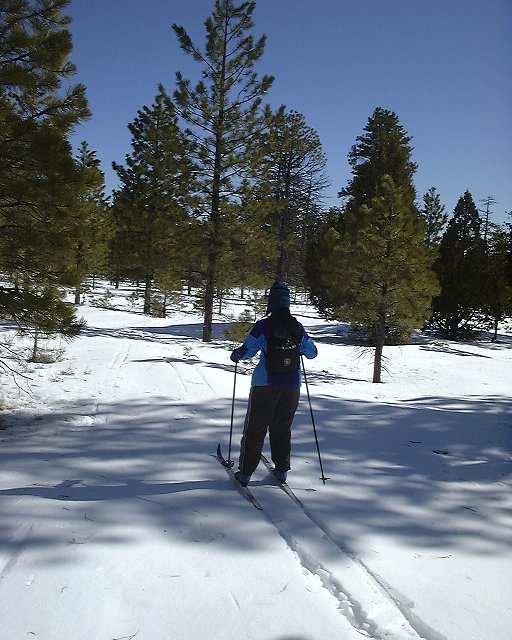 Skiing on the plateau towards the canyon rim.
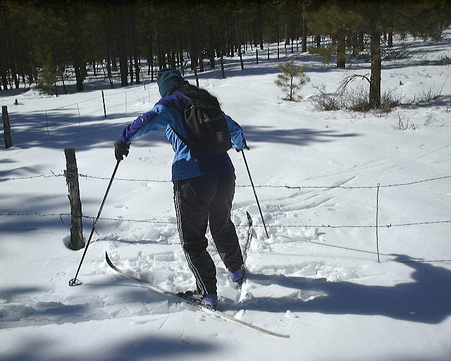 Crossing the park fence.
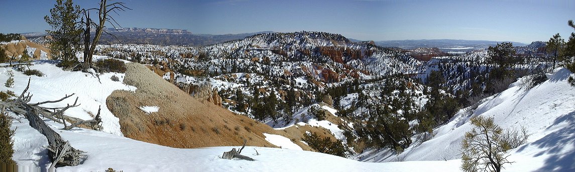 Panorama from the first point we got to the rim (160 kB).
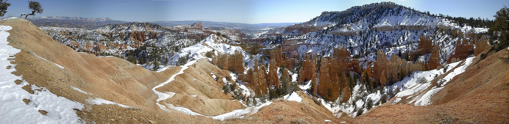 Panarama from Fairland Point (280 kB).
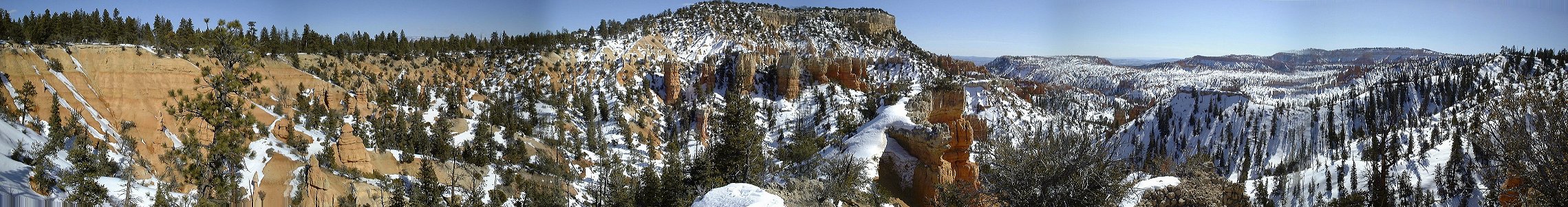 Panorama from south of Boat Mesa (330 kB).
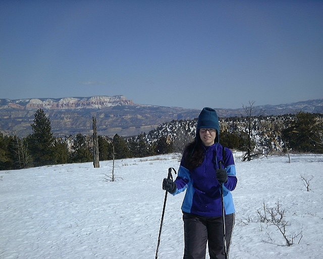 Dina on the hill 8155, Aquarius Plateau in the distance.
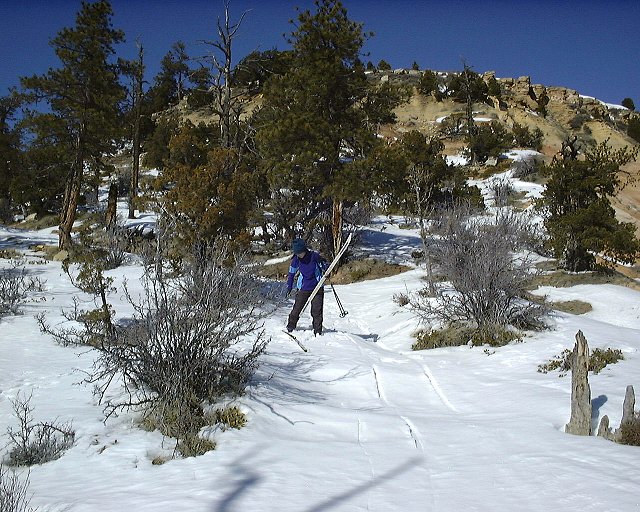 Going down from hill 8155.
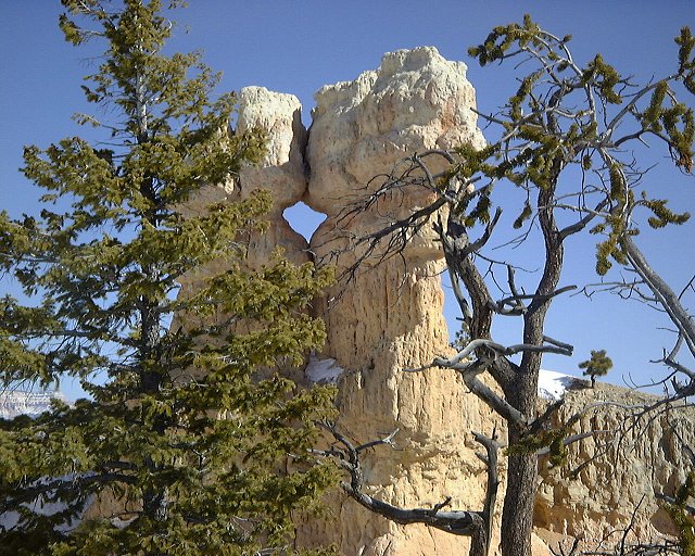
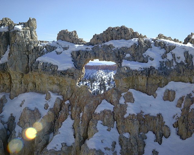 Two windows nearby.
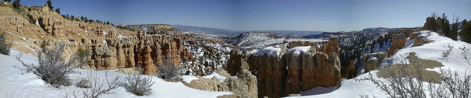 Panorama from south of hill 8155 (200 kB).
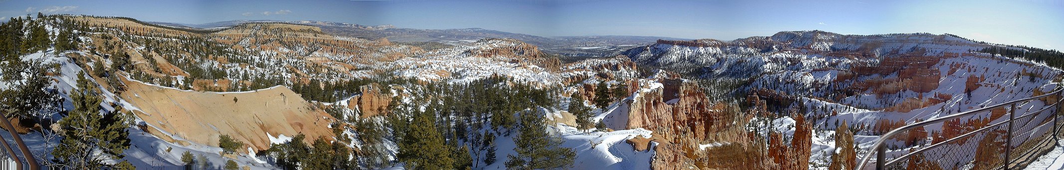 Panorama from Sunrise Point (320 kB).
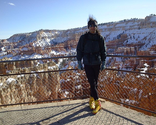 Me on the Sunset Point.
 360 deg. panorama from Sunset Point (480 kB).
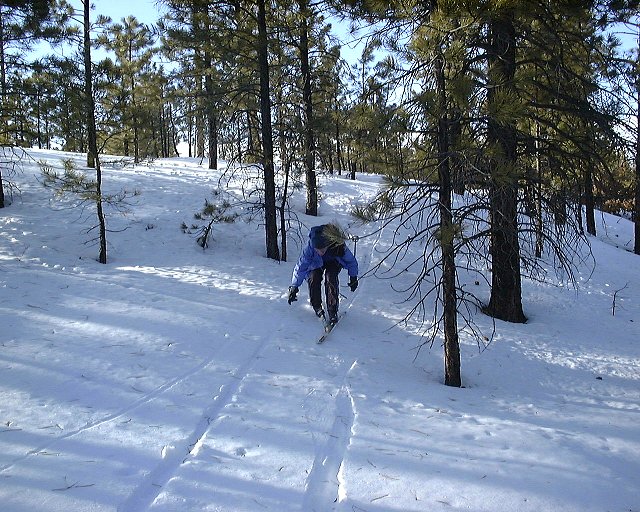 Dina demonstrating how not to break on a downhill.
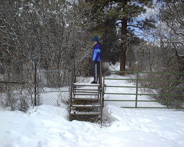 Tropic trailhead to the Bryce Canyon NP.
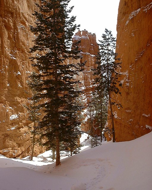
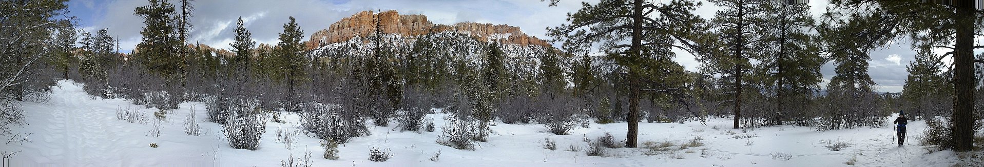 Panorama from about 0.5 mile up the trail north-east (260 kB).
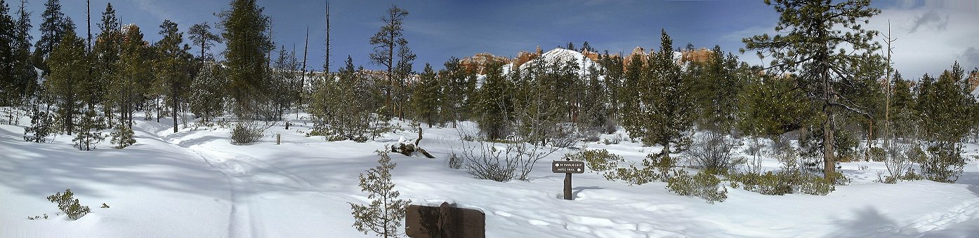 Panorama from the Peekaboo Trail intersection west (towards the canyon rim) (180 kB).
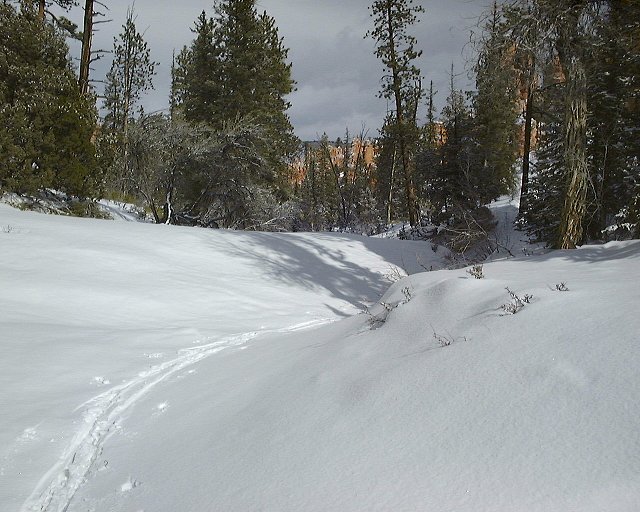
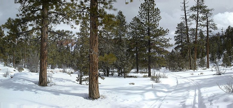 View down the trail nearby.
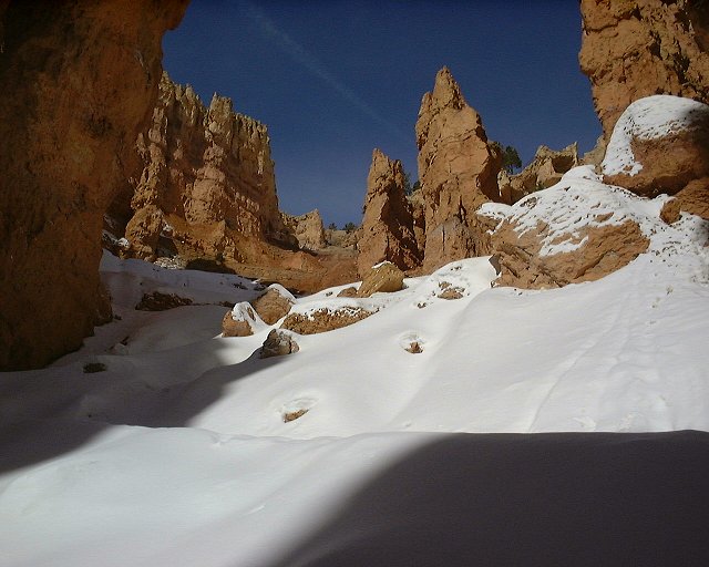
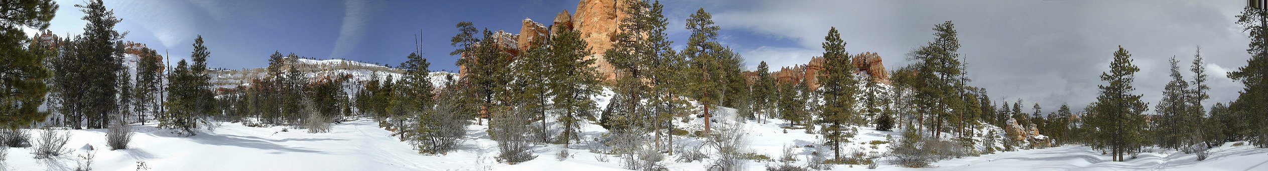 Panorama from near the Navajo Loop intersection west (320 kB).
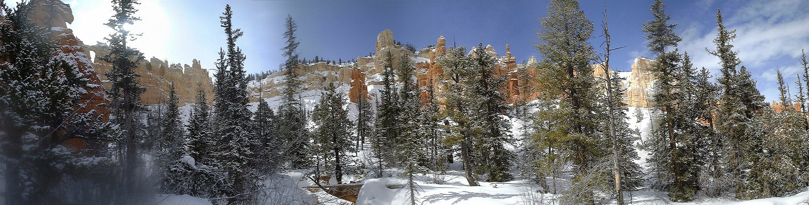 Panorama from where I turned around, under Inspiration Point (300 kB).
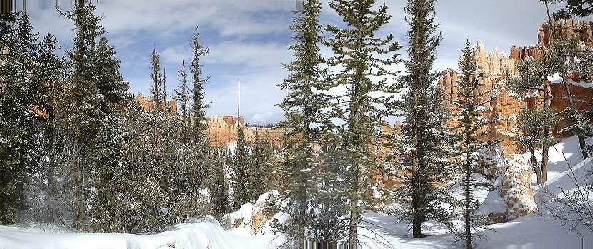 Panorama from the same spot down the canyon (150 kB).
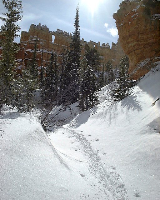
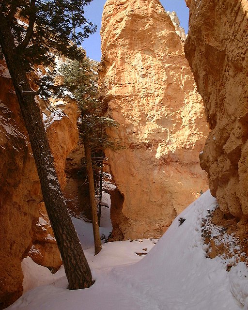
 Winter canyoneering near the end of skiable canyon floor.
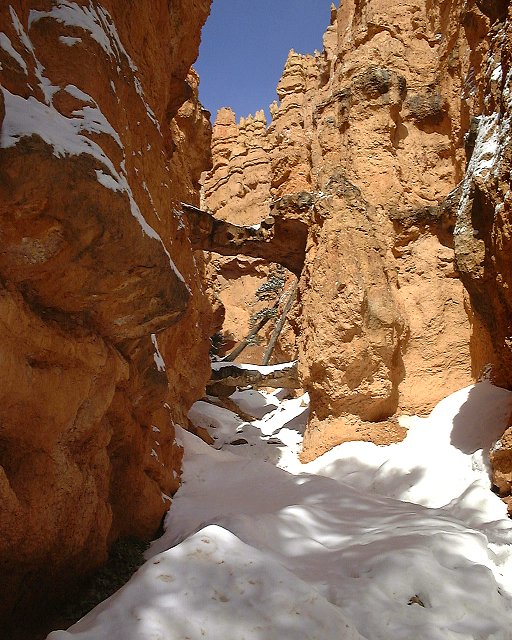
 Shots from climb up Navajo Loop.
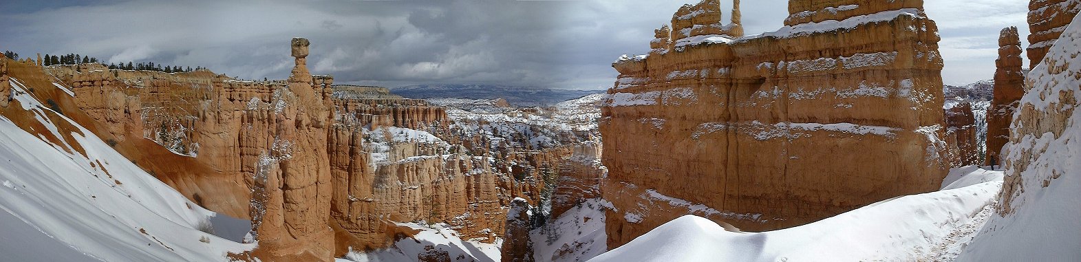 Panorama from near top of Navajo loop, Thor's Hammer in the center (190 kB).
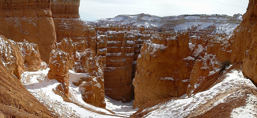 Panorama from top of the switchbacks down second half of the Navajo loop (150 kB).
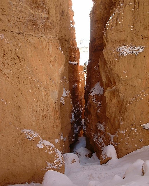
 View down and up from almost bottom of the switchbacks in Navajo loop.
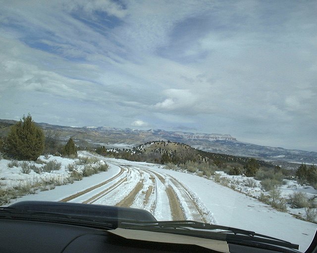 Shot from the drive back to Tropic, Aquarius Plateau in the distance.
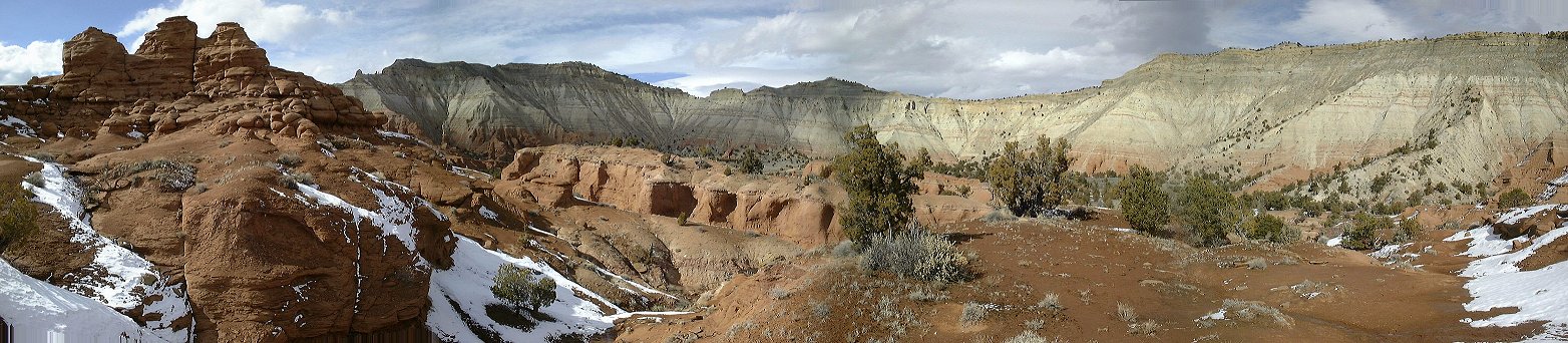 Panorama north from the hills above Kodachrome Basin (200 kB).
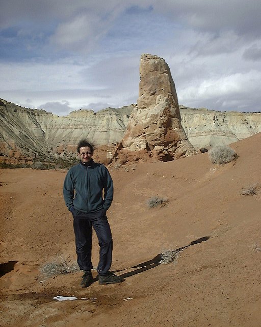 Me at the top of the loop in Kodachrome Basin.
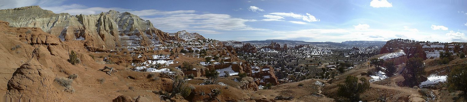 Panorama south from the hills above Kodachrome Basin (200 kB).
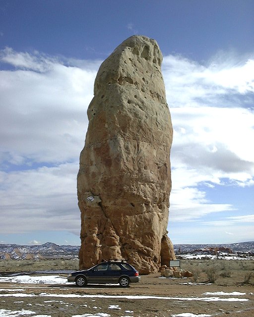 Chimney Rock.
U of U / CHPC / Cuma / Travel / English / Bryce Canyon in winter
URL: http://voth.chem.utah.edu/~mcuma/br_ca01e.html