
The semester ended a week before Christmas so we decided to spend a weekend away from SLC. The destination was surroundings of the Brian Head Ski Resort, which lies about 20 miles east of Cedar City in the western part of Markagunt Plateau at an elevation around 3000 m. This guarantees enough snow cover. However, we skipped the ski runs, which, by the way, don't look as good as those in the SLC resorts, and spent the two days cross-country skiing on the plateau above Brian Head.
We left SLC Friday around 6pm, and in three hours were in Parowan, a small town on I-15, 12 miles from Brian Head. We have reserved a motel here for acceptable $28/night. Lodging in Brian Head is not that cheap and the drive there does not take more than 15-20 min.
On Sat. morning we first tried to find in Brian Head some information about ski trails. Their website pompously announces great x-country ski trails, saying that a map is available at the town's visitor's center. Well, the visitor's center seems to be permanently closed, and at the Cedar Lodge where we were send was only info for the downhillers. Basically, there is no trail support, one must make his own track. Fortunately, there is enough suitable terrain. The drawback is that the snowmobilers think the same way and they are in vast majority compared to skiers. We ended up stopping at the Georg's Ski Shop at the end of the town where they suggested a good loop. We started at the road turn towards Cedar Breaks and skied north through a meadow and then on a snowcovered forest road to the top of Brian Head Peak, ca. 11,300 ft. high. Although the sky was clear, it was very windy and cold. Maybe because of this there were surprisingly few snowmobiles, maybe 20 the whole day, so their roar and foul smell was not too annoying. The snow was bad, though, the wind has blown off almost all the powder and we skied on an ice crust. On the road to Brian Head Pk. were snowmobiles tracks, which would not be that bad if the snowmobilers would not make bumps of snow occasionally. Mostly because of this, the loop took us almost whole day, about 5 hours.
For Sunday, I planned a trail on the rim of Cedar Breaks. To my unpleasant surprise, snowmobiles are still allowed in the park, despite the National Park Service ban. Probably the influential lobby of this "sport" enthusiasts made out and exception. Fortunately, it was again windy and cold, plus a church day, so we met even less of them than on Sat., which was great compared to hundreds we met here a year ago. Another positive was that someone was skiing there before us and made a track from our car park for about 2 miles down, away from the snowmobile road. The track ended at Cheesman Overlook, about half of its length it followed a marked ski trail that the NPS sets up there every year. For comparison, the snowmobile trail is about 10 miles long. That's where the priorities are. We continued from Cheesman a bit more south, this time on the road, till the Sunset overlook, where we turned around. We got back to the car right when the cold front rolled in and it started to snow lightly. But until we
dropped down to Parowan, the front was over and it was sunny again. So the drive back was without complications.
 Preparation to ski out on Sat. morning
 Brian Head Pk. from the road south of it.
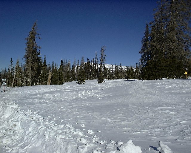
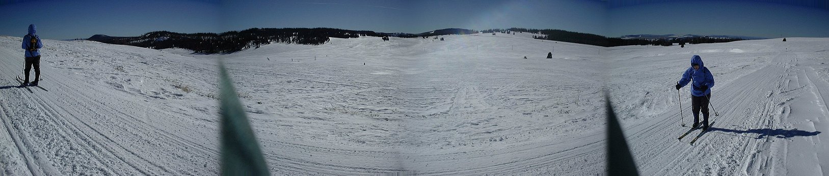 Plain south of Brian Head Pk., where we came from.
 A rest stop, in the wind shade, SE from Brian Head.
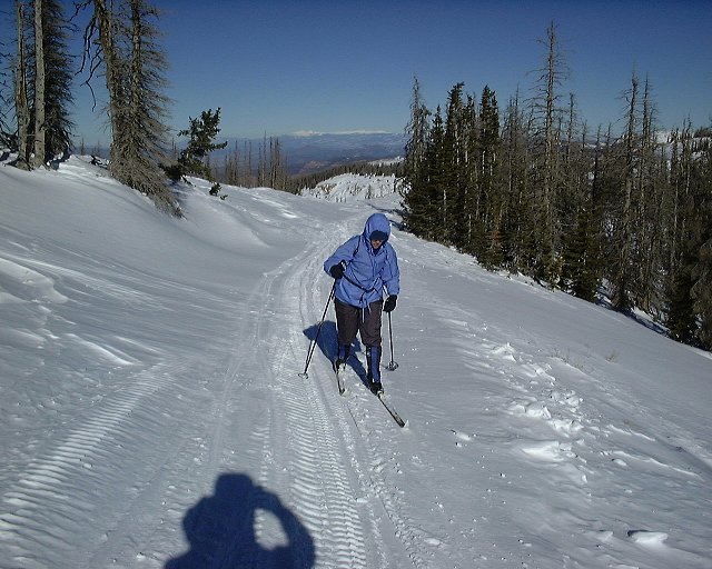 Last part of the trail to the top of Brian Head, Tushar Mtns. in the background.
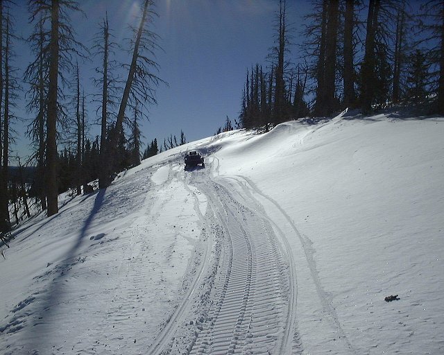 Lonesome snowmobile which could not get over the hump in the snow and owner had to walk to the top. On skis, we had no problem.
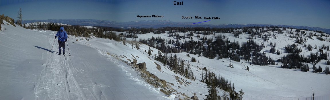 Panorama from Brian Head Pk. to the east, red cliffs in the back are part of Bryce Canyon.
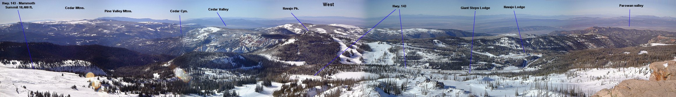 Panorama from Brian Head Pk. to the west, in the foreground the ski resort, in the back mountains of the Great Basin.
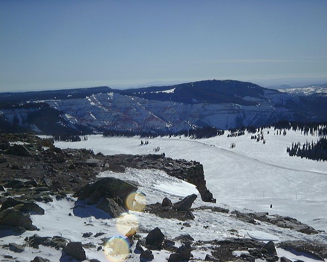 View towards Cedar Breaks.
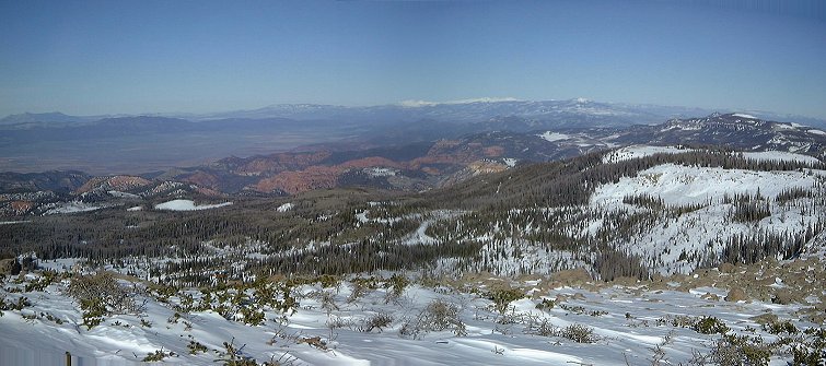 Panorama from Brian Head Pk. to the north, towards Tushar Mtns.
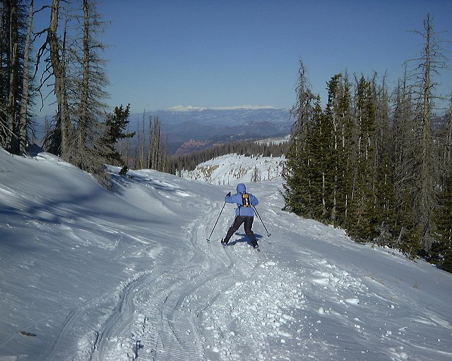
 Skiing down from the Brian Head Pk..
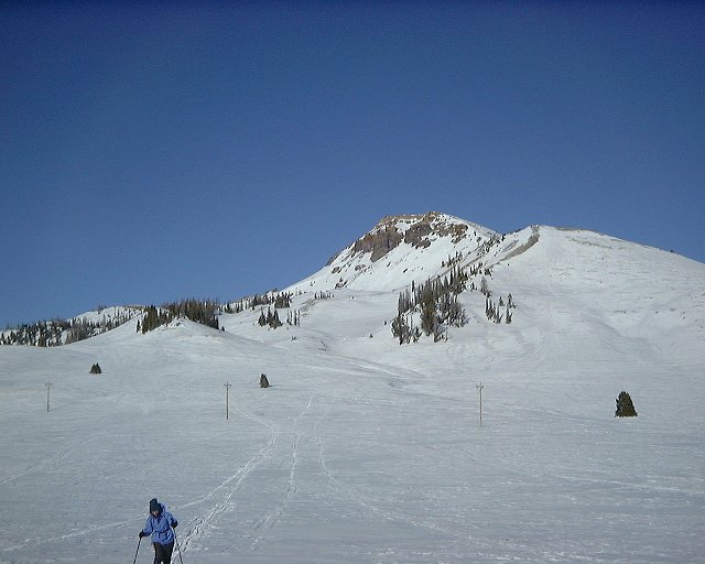
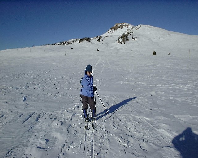 Two views on Brian Head Pk. from the plain south of it.
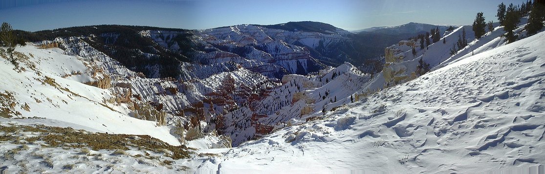 Cedar Breaks panorama from the overlook on its north side.
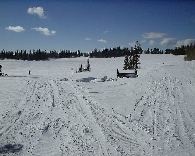
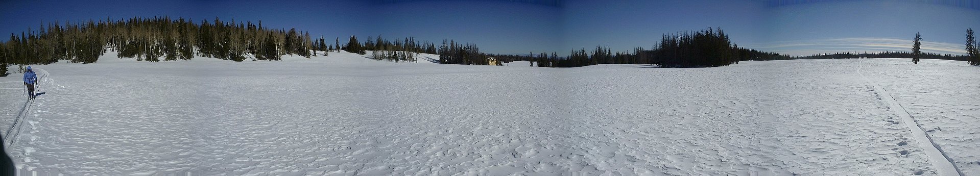 Panorama of the meadow close to the car park.
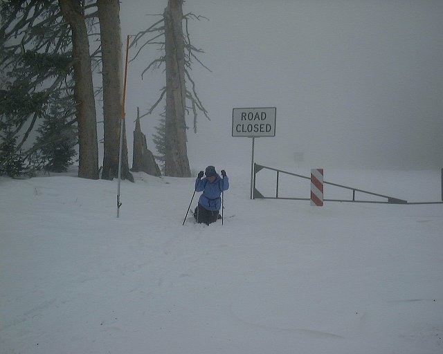
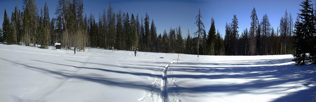 Start of the marked trail, about a mile south from the car.
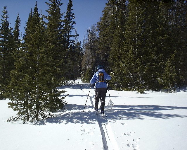
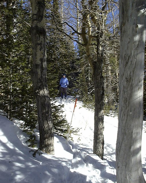
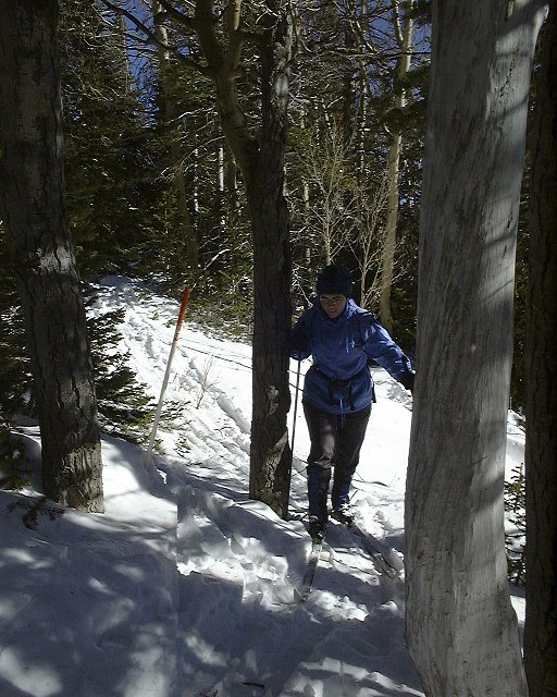
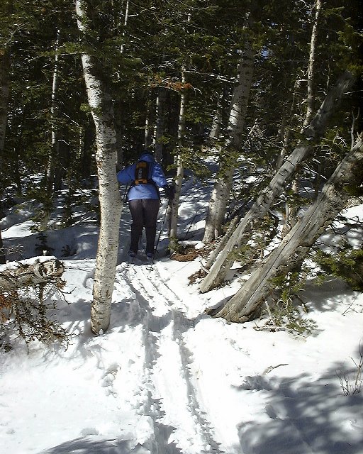 Shots from the marked trail through the forest.
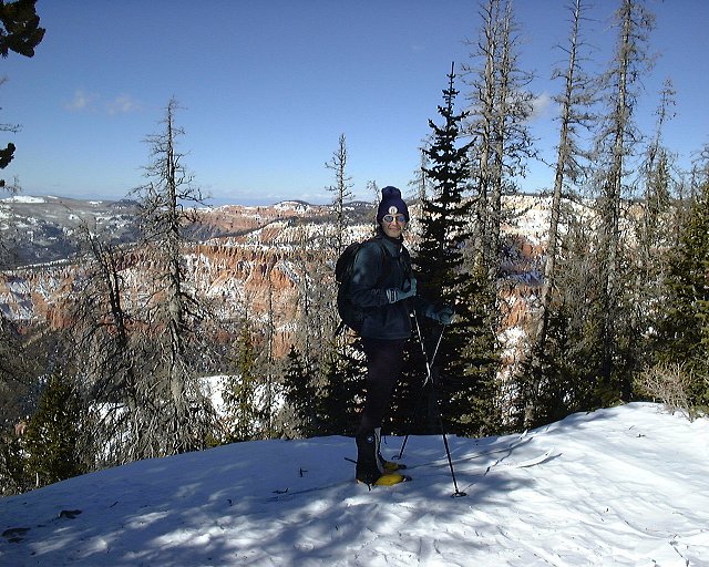 Dina and me with the Cedar Breaks in the background on the southern end of the marked trail.
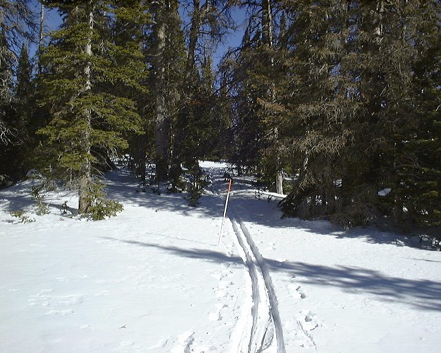
 Summer markings deep in the snow.
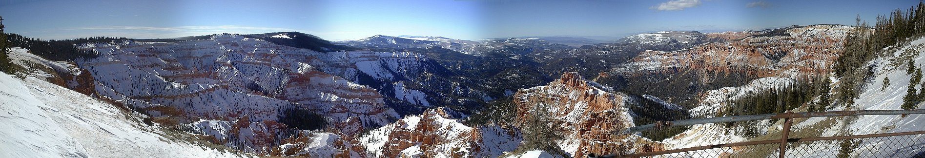 Cedar Breaks panorama from Cheesman Overlook.
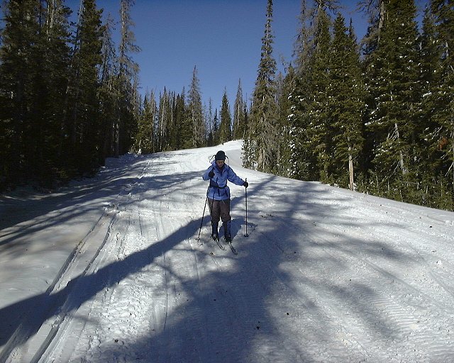 Dina skies down on the road towards Sunset Overlooku.
 Snowmobile trail markings moved by irresponsible users, which would probably like to drive their noisy stinking machines all over the place and destroy everything underneath their tracks.
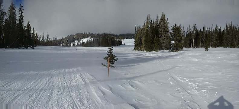 View north to the coming cold front, from a point about 1 mile from the car.
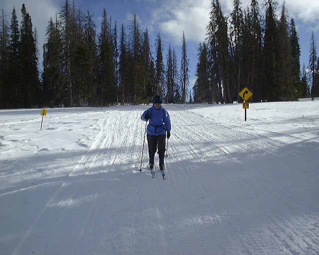 View from the same spot south, no trace of the front there.
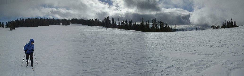 Panorama to the south a bit later.
 Car as we came back to it.
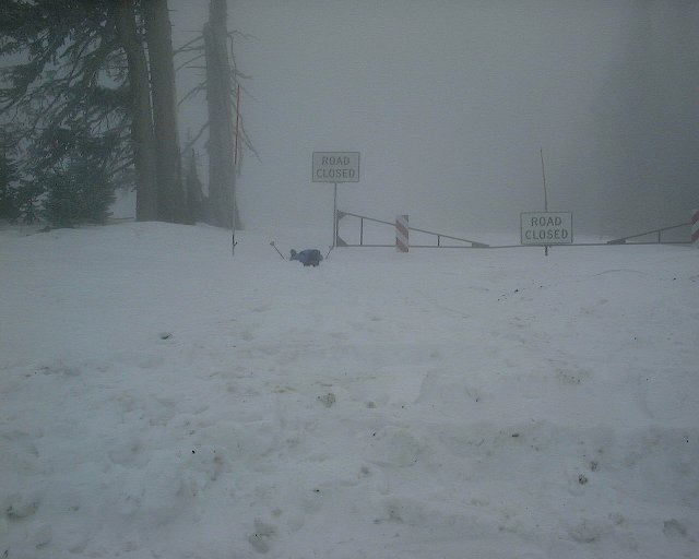
 Dina managed to fall about 10 m. from the car, it was a demanding weekend.
U of U / CHPC / Cuma / Travel / English / Winter 00-01
URL: http://voth.chem.utah.edu/~mcuma/wint01e.html