Aliso & Wood Canyon trail map and pictures
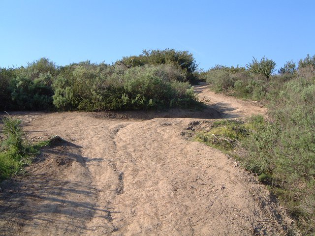
Here is the map of my tracks as taken by the GPS and plotted on the Terraserver satellite foto (550 kB). The park itself is quite surrounded by civilization, the trailhead is right off a major highway. There are several fire roads in the canyons and on the ridges, and several singletracks that climb up the ridge, most of them are quite wide, though (the people who ride here should go to Fruita to see what a real singletrack is and how to keep it - but, then, how can you teach those weekend warriors on $3000 bikes). The most famous track, Rock-it trail, was quite technical (boneshaking), but completely rideable. I found the best singletracks to be paralleling the main canyon road - there are several trails there that are quite nice, fast rolling singletrack with several tricky sections.

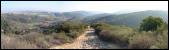
 The trail to Dripping Cove and further upcanyon is one of the better singletracks.
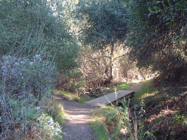
 Probably the best sigletrack - Wood Creek Tr. - which ends in a 50 m. hike a bike hill.

 Chola cactus after which the trail got its name and how the trail looks like (singletrack used-to-be).
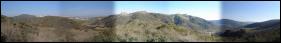 Panorama of the canyons from the western ridge.
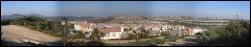 A view inland reveals sprawling civilization.
 The rocky face of Rock-It trail.

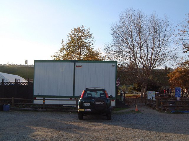
 A small piece of Utah in Orange County - a Mormon church standing right at the trailhead, that I have naively confused with the ranger station asking for trail maps... And the real ranger station in the trailer nearby (guess a matter of priorities - for the soul and for the body).
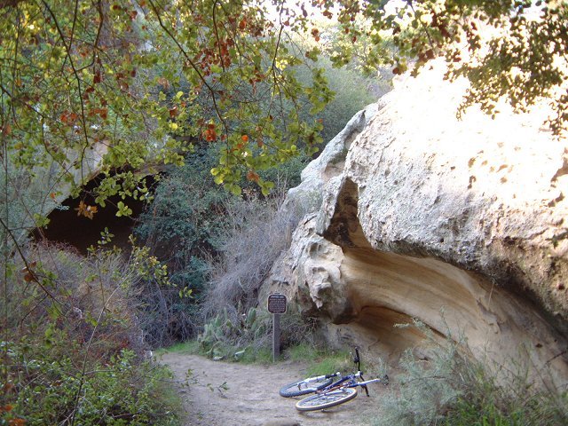 The trail to Dripping Cove and further upcanyon is one of the better singletracks.
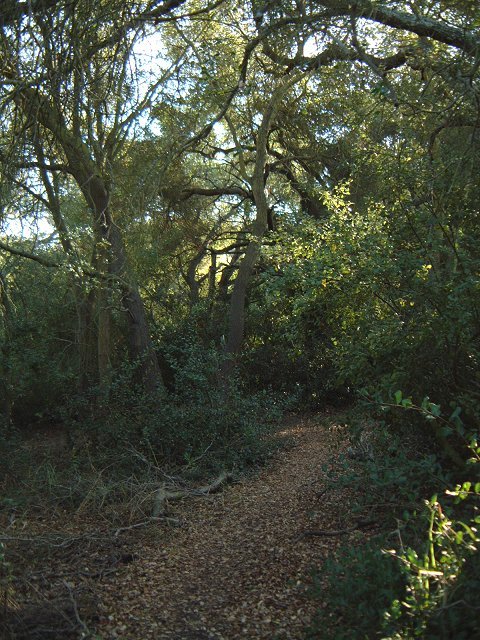 Probably the best sigletrack - Wood Creek Tr. - which ends in a 50 m. hike a bike hill.
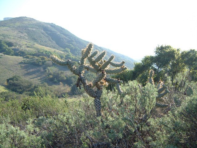
 Chola cactus after which the trail got its name and how the trail looks like (singletrack used-to-be).
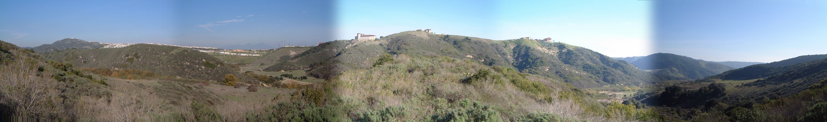 Panorama of the canyons from the western ridge.
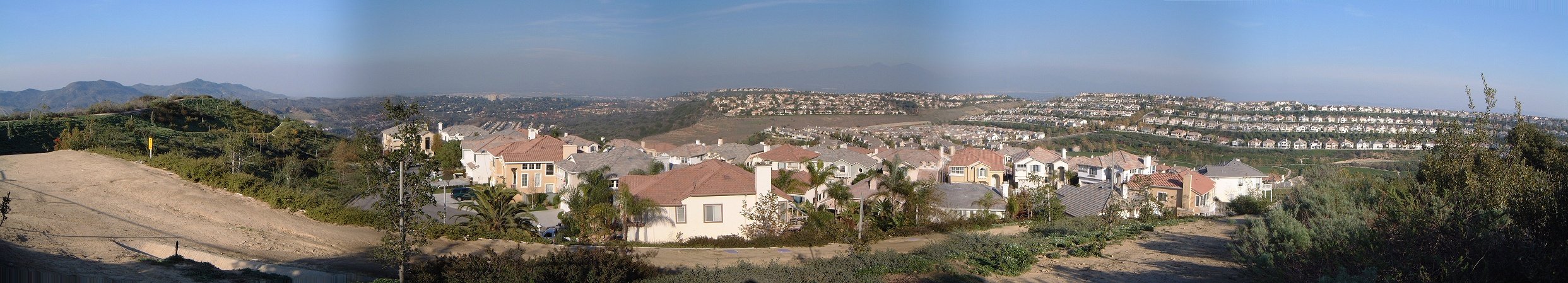 A view inland reveals sprawling civilization.
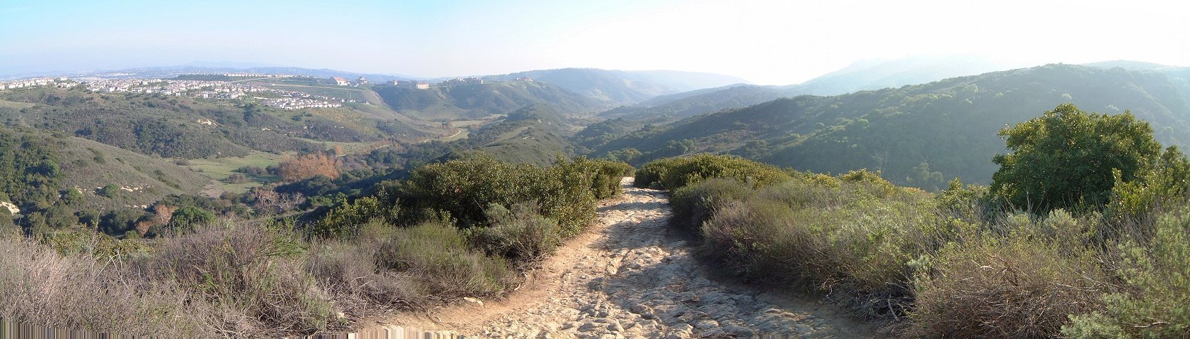 The rocky face of Rock-It trail.
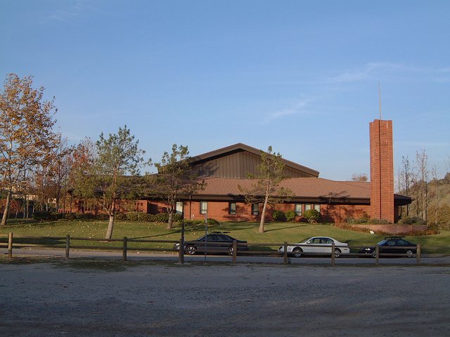
 A small piece of Utah in Orange County - a Mormon church standing right at the trailhead, that I have naively confused with the ranger station asking for trail maps... And the real ranger station in the trailer nearby (guess a matter of priorities - for the soul and for the body).