An originally planned group trip changed into a solo venture, which turned out to be a blast nevertheless, thanks to the good weather and little complications.
I drove to Moab on Thursday night, and at about midnight crashed on the Poison Spider trail parking lot. Woke up in the morning, and rode the Poison Spider - Portal Trail loop, then had lunch and rode Pritchett Canyon - Hunter Canyon loop on the other side of the river. Then drove up Kane Springs Cyn. and camped up there on a very nice spot.
On Saturday, I rode Jackson Hole loop together with exploring Amasa Back, starting and finishing at my campsite. Then drove to Moab, got a campspot at the Sand Flats, and rode part of the Slickrock trail after dark (with lights, of course).
I was already pretty tired on Sunday, but I still rode the whole Slickrock trail with exploring most of the side trails inside of the loop. Before noon, I drove out of Moab and before heading out home, I rode the fabulous slicrock in Bartlett Wash, which took about an hour.
| Ride | Distance [km] | Vertical [m] | Ride time | Total time | |
| Poison Spider - Portal | 21 | 630 | 2:05 | 3:00 | |
| Pritchett-Hunter loop | 20 | 525 | 2:00 | 3:00 | |
| Jackson Hole - Amasa Back | 44 | 1100 | 3:20 | 5:00 | |
| Slickrock night | 10 | 320 | 1:30 | 1:45 | |
| Slickrock day | 21 | 730 | 2:00 | 2:50 | |
| Bartlett Wash | 7.5 | 160 | 0:45 | 1:00 |
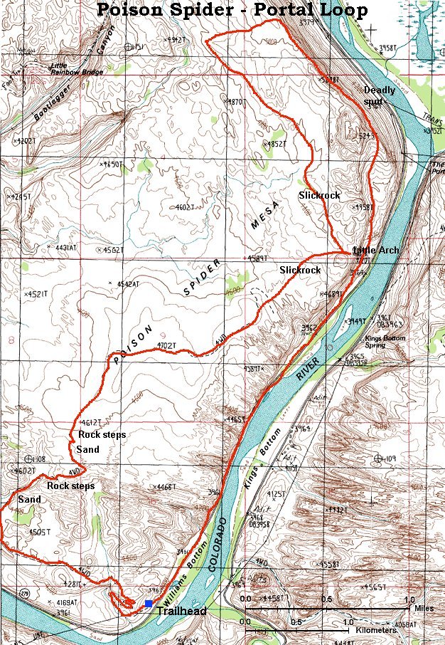
Here is a topo map of the loop (280 kB).
For those interested in details on the trail, here is Gregg Bromka's account on the trail.
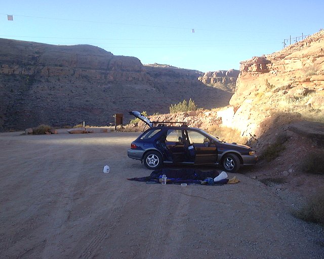
Poison Spider trailhead.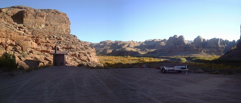 The other side of the trailhead parking lot in the early morning.
 Sandy road climbing up a short canyon.
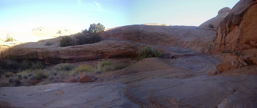 First slicrock steps area, which makes Poison Spider trail famous.
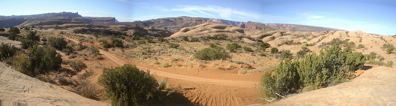 Panorama from another slickrock bench above the second sandy section.
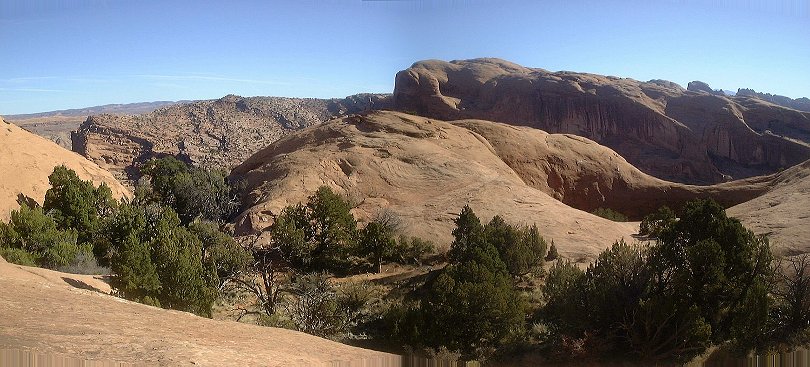 On the slickrock heading towards Little Arch.
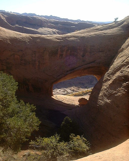 View at the other bank of Colorado through the Little Arch.
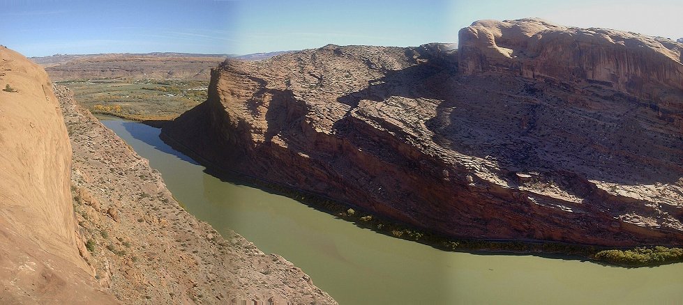 View north from the Little Arch, towards the Portal with Moab in the background.
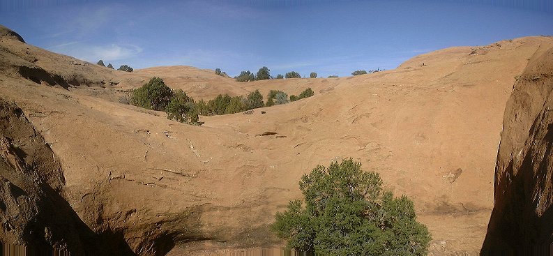 View from Little Arch towards the Poison Spider slicrock, where I came from.
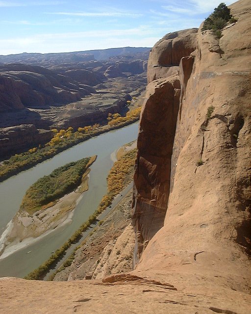 View down the cliff standing on Little Arch.
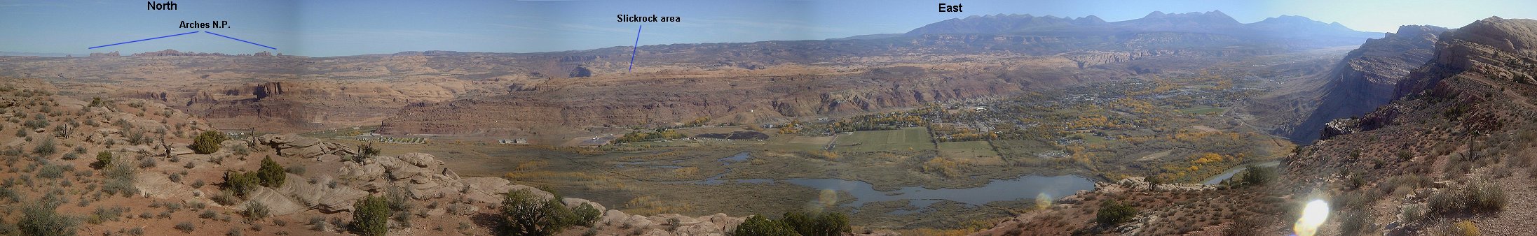 Panorama north-east from the start of the Portal singletrack.
 View south-west from the same spot
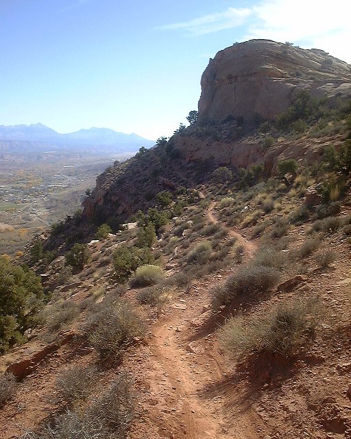 First, fairly easy, part of Portal trail.s
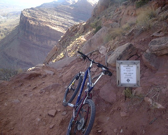 First warning ca. 500 m. farther.
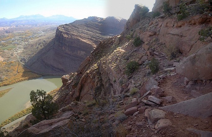 View down the trail right past the first warning sign.
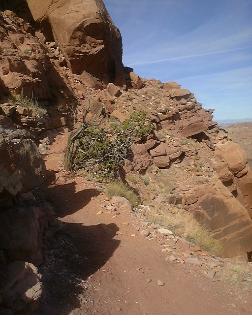 View up the trail past the first trouble spot.
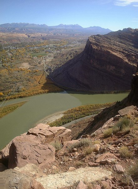 View down at this spot.
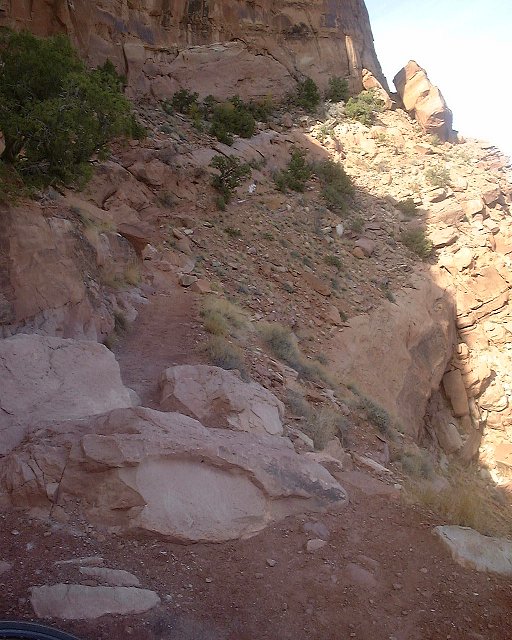 The deadly spot, supposedly three bikers did not make the hop over this rock and fell down the cliff. I walked it.
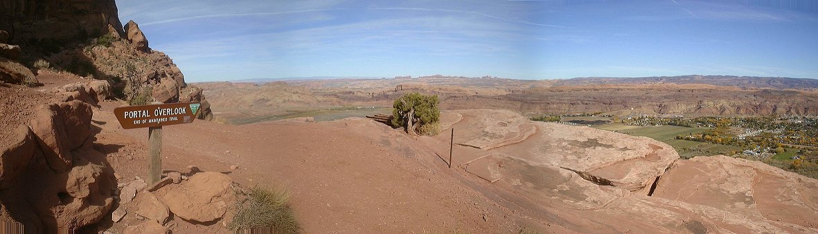 Panorama north-east where the oficial Portal trail ends (right below the deadly spot).
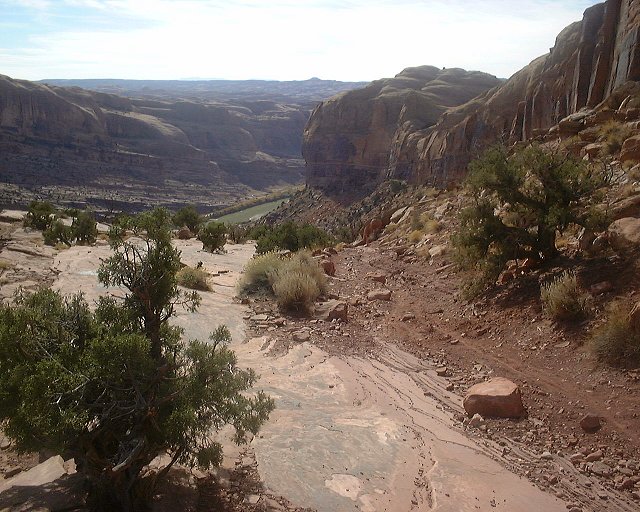 View down the trail from the same spot.
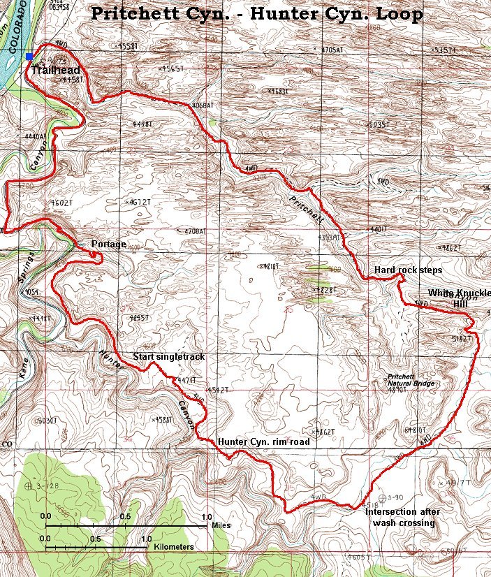
Here is a topo map of the loop (300 kB).
For those interested in details on the trail, here is the trail description from Mountainbiking Moab book.
 View up the canyon from the same spot.
 View down Pritchett Canyon about 1 km from the bottom.
 The road climbing up another few kms higher.
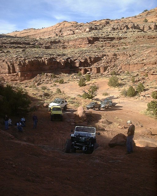 Jeepers having fun at a definite portage spot about 4 kms. up the canyon. I must say that I have found the jeeps the least obtrusive from the motorized "recreationists" that swarmed all over the place. Motorcycles and ATVs are much more annoying due to their noise and smell.
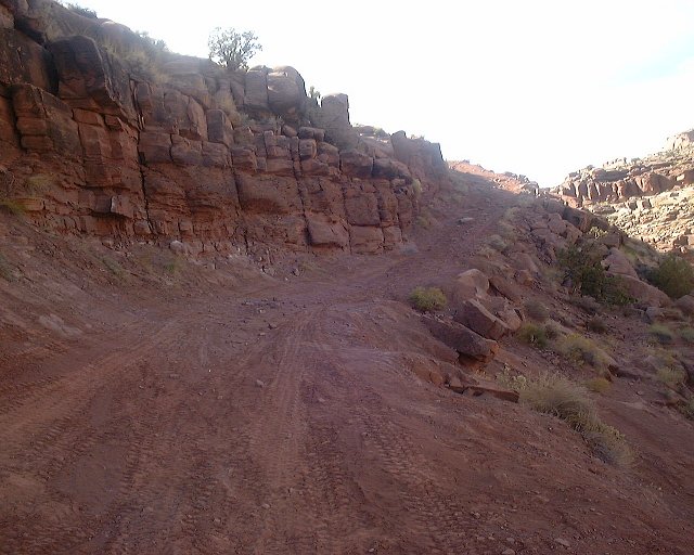 The trails climbing up right past the portage spot.
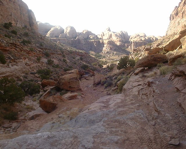 View down from another technical slickrock step. Climbing most of these in Pritchett was difficult due to the sand and gravel, that covered the slickrock.
 The higher the trail goes, the more difficult it gets.
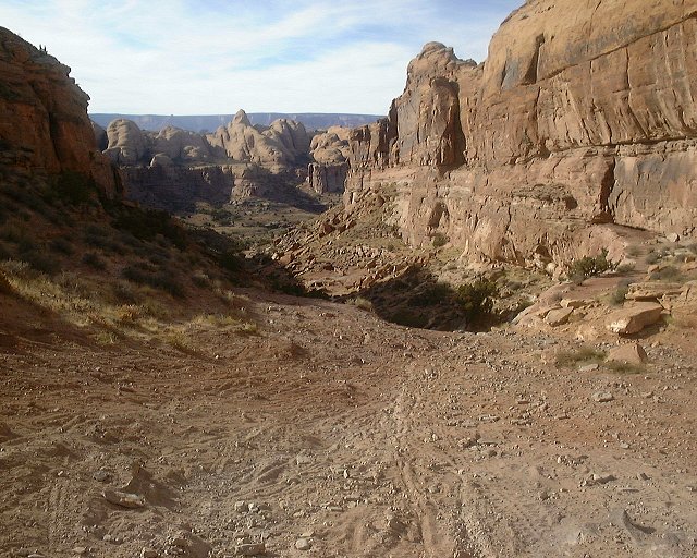 View down from White Knuckle Hill, which marks the end of Pritchett Canyon, and end of major climbing. Also, due to the loose surface, I pushed a good part of it.
 View down the road from White Knuckle Hill, the descent is fairly nice.
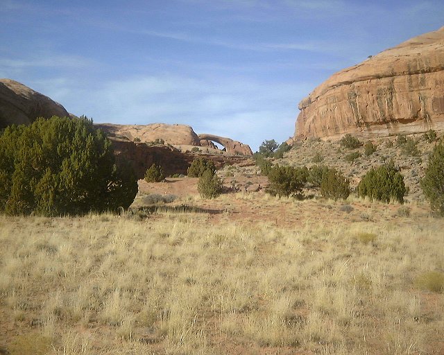 Pritchett Arch as seen from the road.
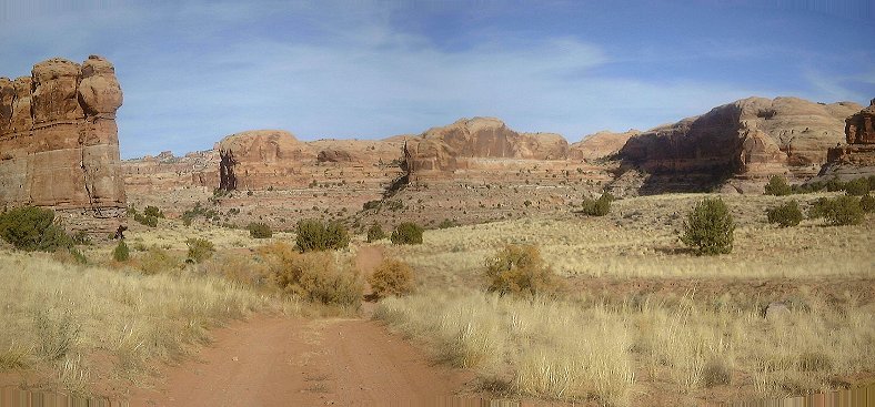 A look up the road (north) from the same spot.
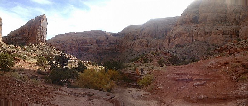
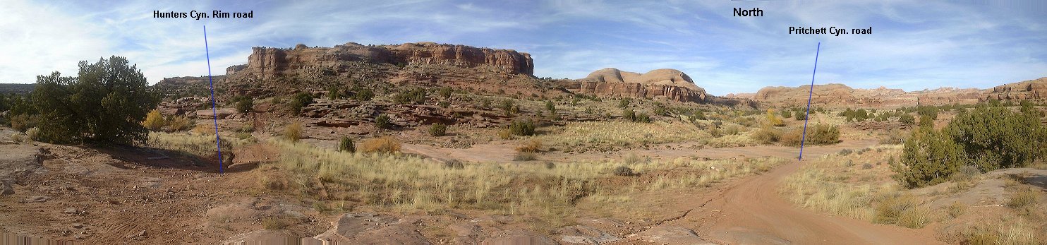 Panorama of the intersection with Hunter Canyon Rim trail.
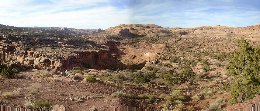 View down Hunter Canyon from the rim after about 2 kms down the road.
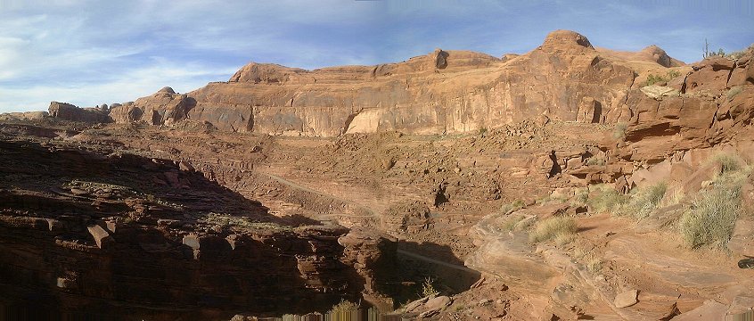 View from the trail as it enters Kane Springs Cyn. rim, Kane Springs Rd. visible in the distance.
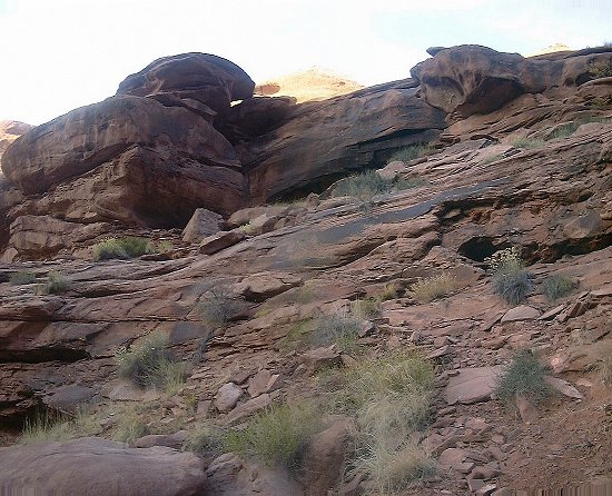 The most difficult part of the portage down into Kane Springs Cyn., basically a 3 m. class 4 scramble down.
 View down the little side canyon past the climb down. Kane Springs Cyn. is about 100 m. downstream.
Here is a topo map of the loop (510 kB).
For those interested in details on the trail, here is Gregg Bromka's account on the trail.
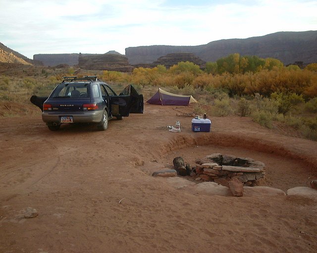 Evening at the de-luxe campsite in Kane Springs Canyon.
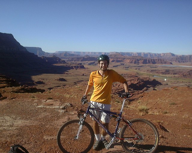 Me in Hurrah Pass, looking west.
 Panorama west from Hurrah Pass.
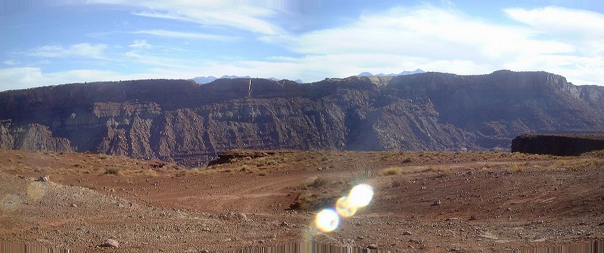 View east from Hurrah Pass, the La Sal peaks barely peek out behind Kane Springs Cyn. rim.
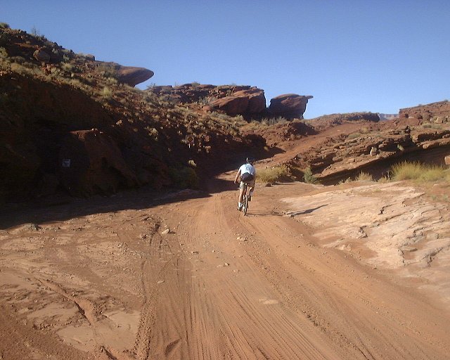 First crucial turn at the bottom of Hurrah Pass downhill, turn right.
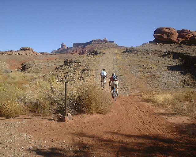 Another crucial turn, this time marked, up the somewhat annoyingly coarse road.
 View down the road which we are leaving from the same spot (view NW).
 Panorama from the plateau as we near Jackson Hole.
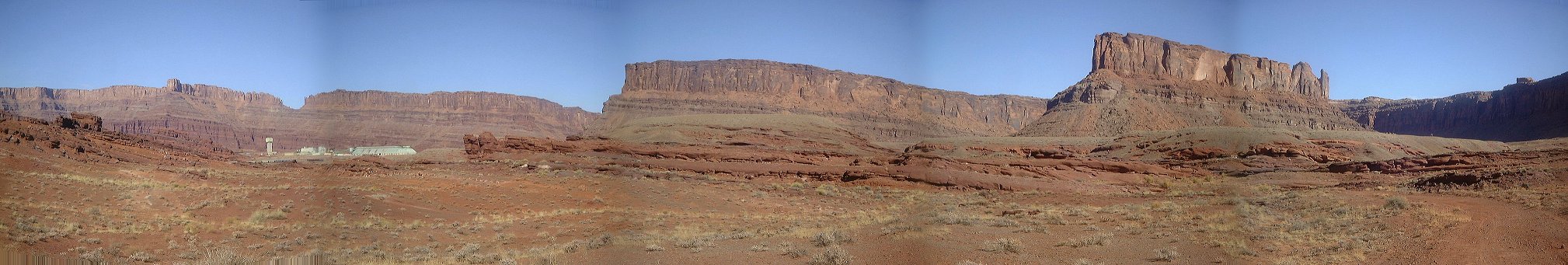 Another panorama north, when the Potash plant became visible.
 The road out of the wash at the last crucial turn.
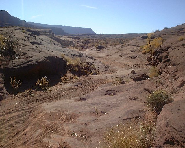 View up the road you came from before the easily overlooked turn right.
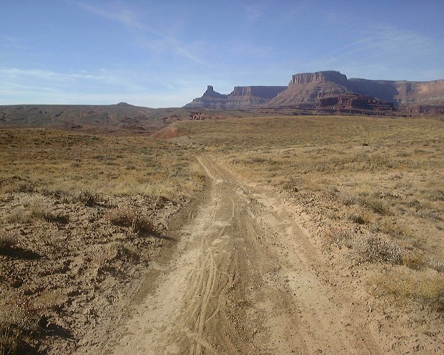 View down the road south-east of the Jackson Hole butte.
 Jackson Hole butte from the same spot, we are circumnavigating it from the right.
 Jackson's Ladder as seen from the distance.
 Jackson's Ladder from where the walking starts.
 A look up at the major climb section.
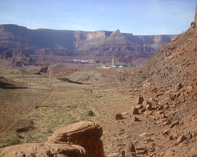 A view at the Potash plant from the same spot.
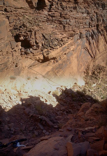 View down the switchbacks from ca. 3/4 way up.
 View up the switchbacks from about 3/4 of the climb.
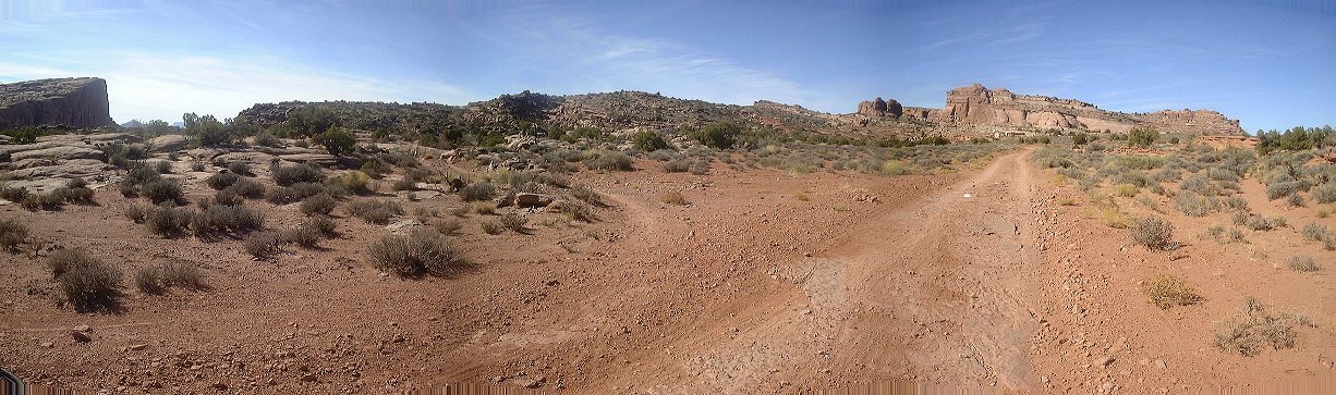 Panorama west from where the Jackson's Ladder access trail merges with Amasa Back trail.
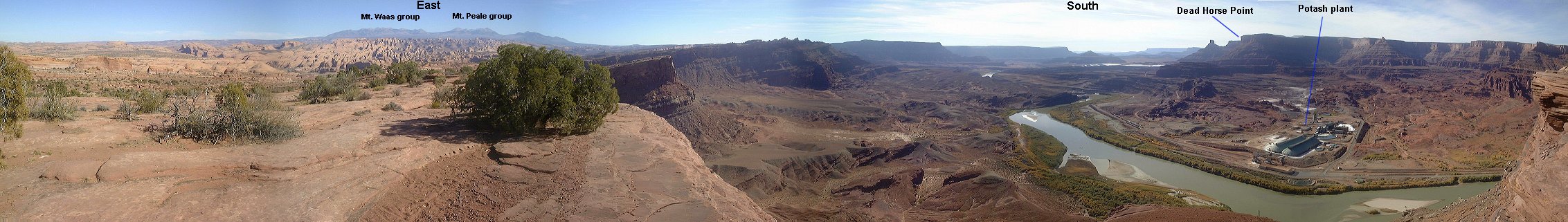 Panorama east-south from Amasa Back's southern rim.
 View north-west from the Amasa Back's western rim.
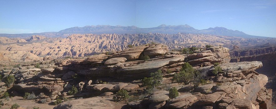 View east towards La Sals and Behind the Rocks area (in the foreground) from the same spot.
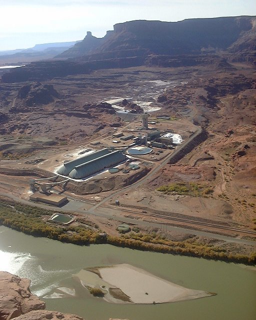 A look at the Potash plant from the westernmost end of Amasa Back.
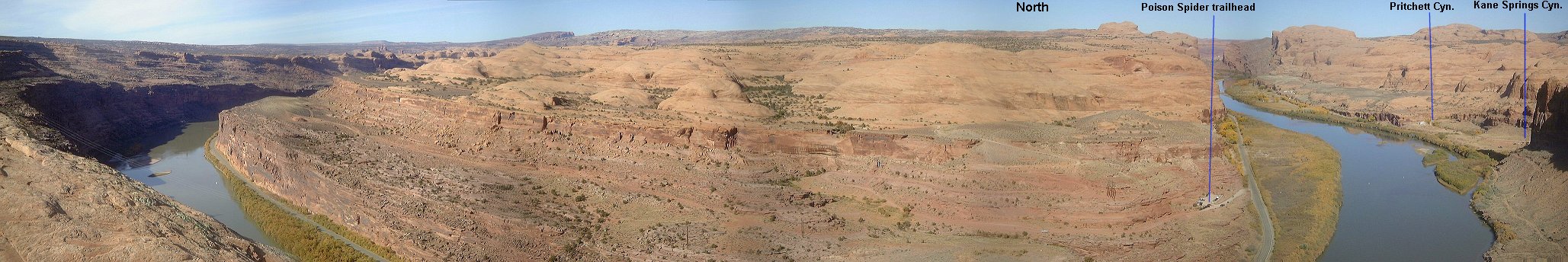 Panorama north from Buzzard's Bluff.
 Descending from Amasa Back.
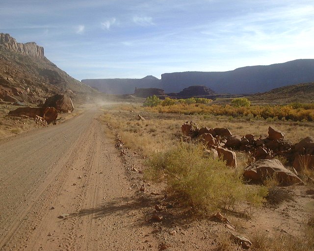 View up Kane Springs road near the end of my ride.
 Panorama of the area where I camped.
For those interested in details on the trail, here is Gregg Bromka's account on the trail.
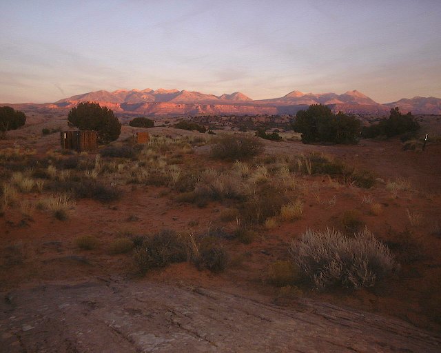
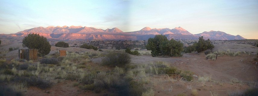 Two sunset shots of the La Sals from the Sand Flat campground.
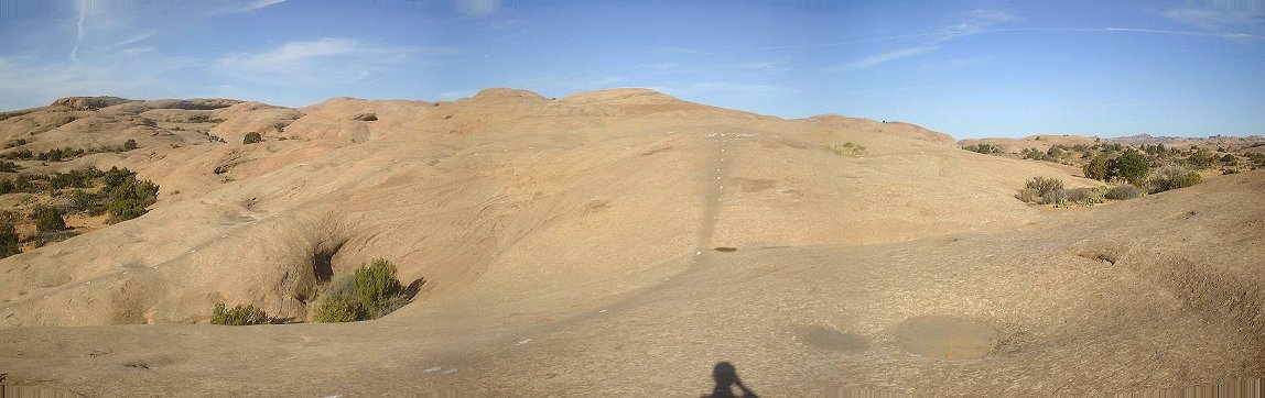 Panorama of where the main Slickrock loop starts.
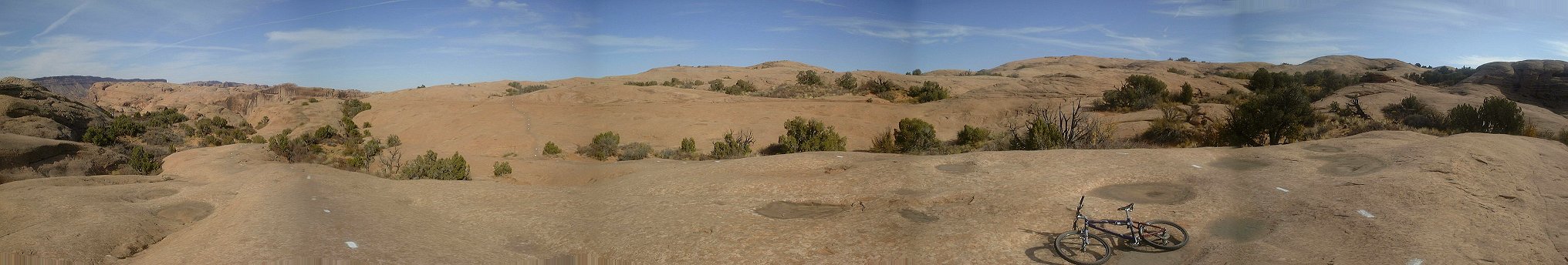 Panorama of the unobtrusive side trail turn in the northeastern part of the main loop.
 Panorama from the northern viewpoint right above the river.
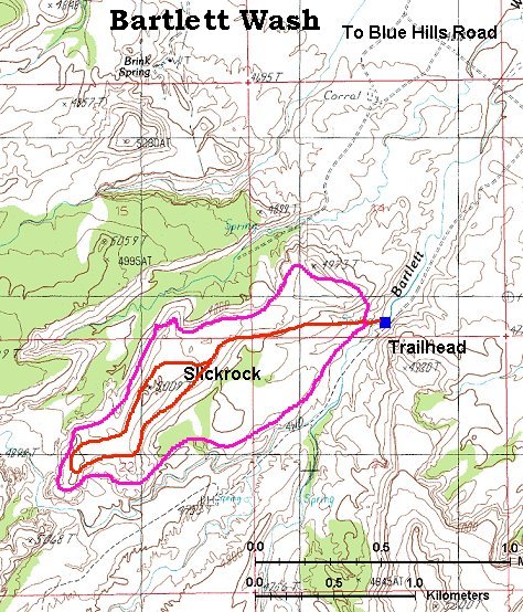
Here is a topo map of the area (120 kB).
For those interested in details on the trail, here is Gregg Bromka's account on the trail.
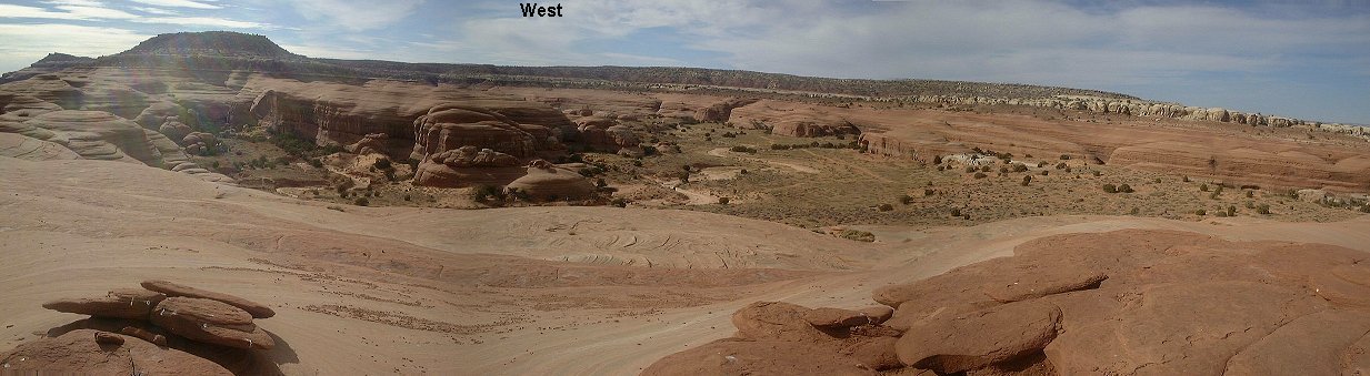
 Two-segment 360 deg. panorama from the highest and almost southernmost point on the Bartlett Wash slickrock mesa.
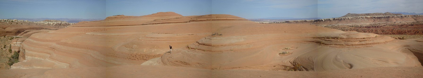 View north from the southernmost hill.
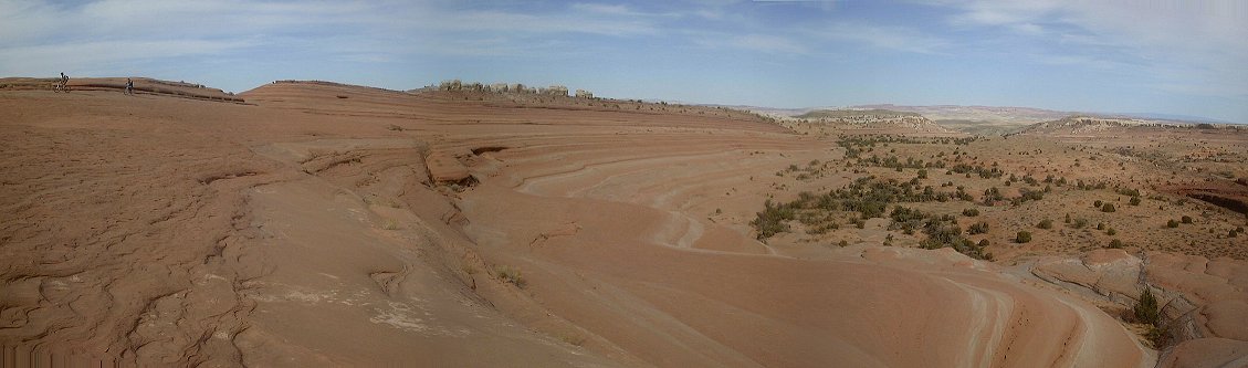 View north from the way back, the access here copies the right slope of the slickrock mesa.
U of U / Chemistry / CHPC / Cuma / Travel / English / Moab