Early October, me and Gary went to Gooseberry Mesa which was my first camping
this year. The nose survived surprisingly well, so, I decided to use up the
good weather and come back the following weekend. The main destination was
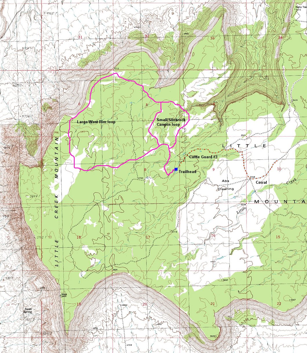
exploration of Little Creek Mountain, a sandstone mesa south of Gooseberry.
I left SLC early Sat. morning and around 2pm go to the western edge of
Little Creek Mountain, where I found a nice campspot with a superb view.
I jumped on the bike and till 6pm rode the trails on the mesa, which are about
50% slickrock (sometime with complicated orientation) and 50% twisty singletrack
in a juniper forest. In the evening I played with my camera during the sunset
and then watched a movie on the notebook. A day well spent!.
I spent Sun. morning exploring some more of Little Creek Mountain, mainly so
that I put the trail more in the memory and would not get lost there so much
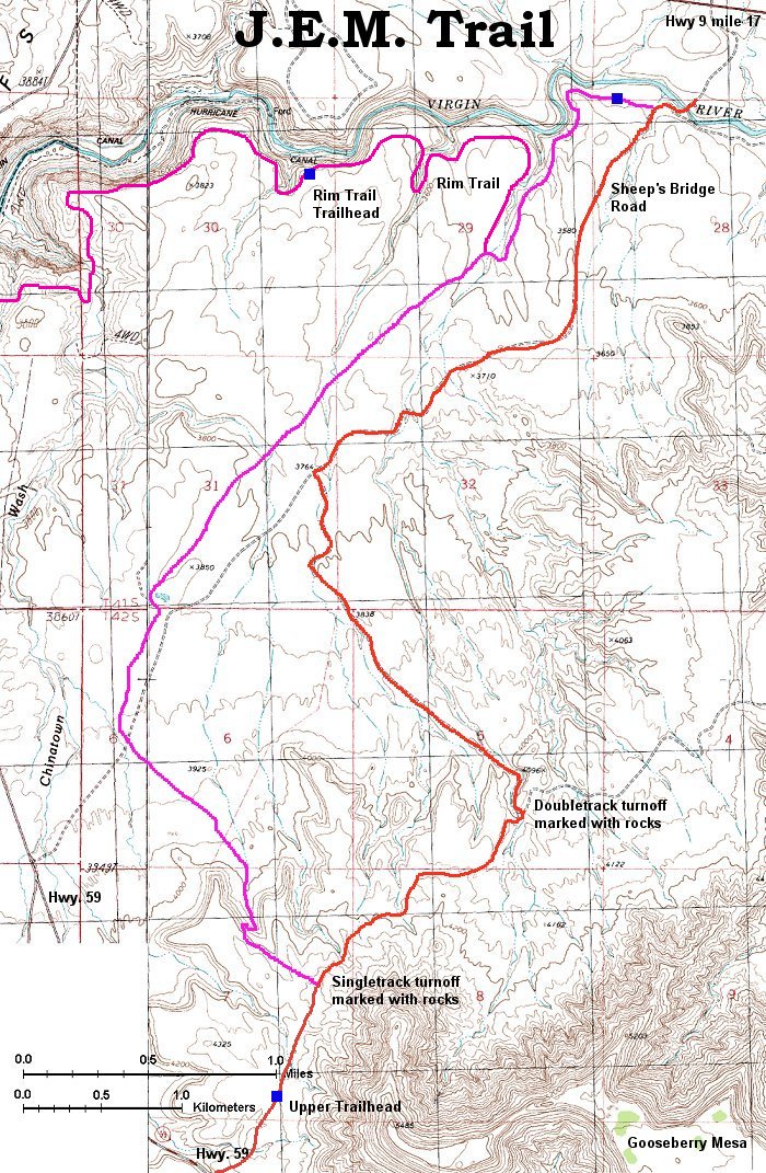
next time. After lunch I moved about 300 m. lower and rode JEM trail that starts
at the western flank of Gooseberry Mesa and leads down to the Virgin river
gorge. Then I followed newly (2002) build Hurricane Rim Trail almost to the
town of Hurricane. Here I jumped on Hwy 59 and rode the road back to my car.
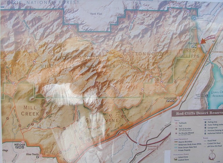
Then I moved another 15 miles or so to a BLM camp in Red Cliffs Desert Reserve,
where I spent another pleasantly warm night.
On Monday I first noticed, that my bike's rear shock is too soft, I think I
blew the rebound dampening part on the fast JEM downhill. But, it was still
rideable, so, I rode from the campground south about 10 km on the Prospector
Trail to another slickrock area, Church Rocks, where is a short (2 km) loop
and then returned back on Prospector to the camp. Around 2pm I set for the
drive home, and I just managed to get to SLC and see the smog above the
valley. The thought that it was a good idea to get out of this mess for three
days concluded a weekend well spent.
Here is topo mapa (280 kB) and here trail access map. (170 kB).
Also available is an aerial view
of the trail on the mesa that I took from the Terraserver website. The white
patches is slickrock, black dots juniper trees, red is the trail (approx.).
More info on my mountainbiking page.
Here is a partial map of the loop (300 kB).
Here is map of the area icopied from a trailhead board.
U of U / CHPC / Cuma / Travel / Czech / Little Creek Mountain