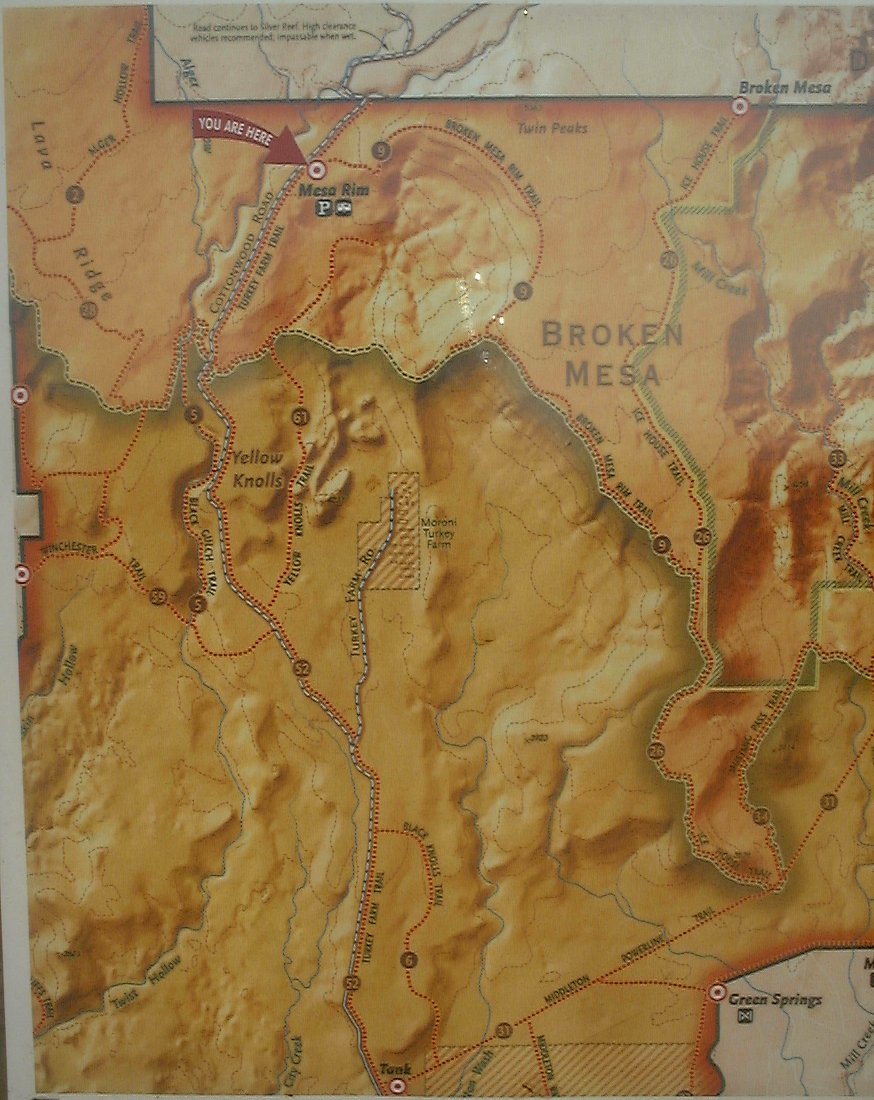
Another trip to seek some warmth, which turned out to be only partially successful. Leaving SLC in crisp 21 F, it turned out to be somewhat cloudy with chilling northern wind in the Dixie on Friday. On the top of that, I chose to ride Broken Mesa loop in the afternoon, located just north of St. George, but climbing to ca. 5000 ft. just below 10000 ft. Pine Valley Mtns, that were covered in thick clouds. So, the sweat from the climb chilled out quickly as I hit the singletrack that leans through a lava boulder strewn mesa. Fun ended after ca. 3 miles when I hit a rocky single and then double track that descended to Powerline Road, my return back to the car. That one sucked too, rocky and sandy churned by ATVs. I got back to the car quite cold, and with heating on full power returned to my campsite at Red Cliffs. The evening was chilly too, but survivable.
Waking early into a frosty morning, I set off to meet local rider Doug for a tour of southern Little Creek Mountain at 8am. We, including his wife and one of his sons, spent good half day riding through a maze of slickrock patches that they recently connected into a trail. It was chilly there too, though, I rode whole day in tights and a fleece. I got back to the campsite at about 4pm, it was pleasantly warm ca. 2000 ft. lower, and I explored the campground's surroundings till dark. It turns out that Quail Creek has a decent canyon carved in the sandstone above the campground.
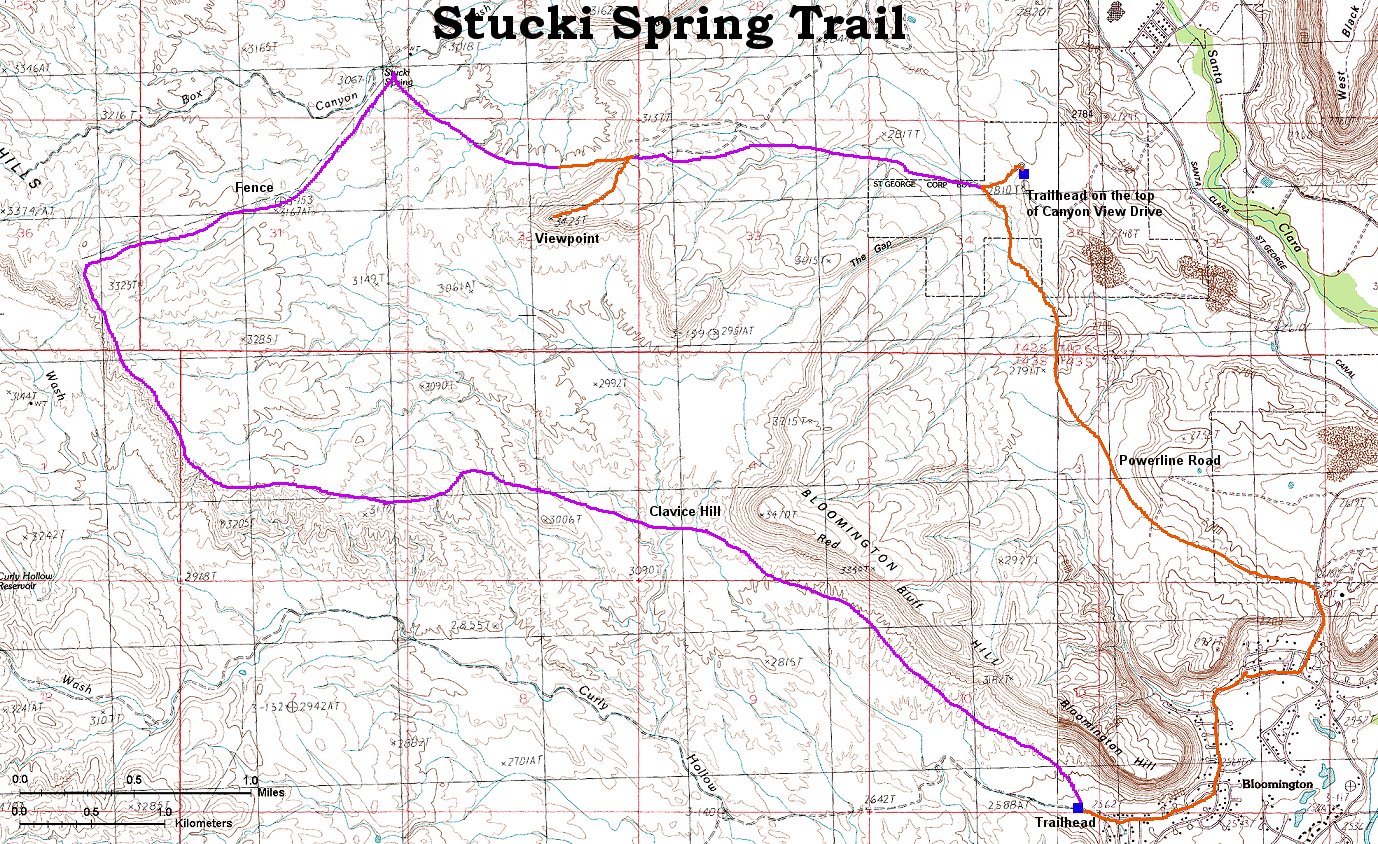
Tired of the cold, I planned to ride as low as possible on Sunday, so, I rode the Stucki Spring loop west of Bloomington at ca. 850 m. It was a bit chilly at 9.30am when I started, but, OK for shorts and long sleeve shirt. By the time I got to Stucki Spring about half way through the loop, it was pleasantly warm in the sun. Then followed 7 miles rolling singletrack back to the trailhead and drive home.
Here is photographed trail map from a board at the trailhead.
No map yet.
Fotos:
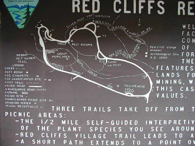
Here is a map of the campgound taken from the board.
Here is map of the area.
U of U / CHPC / Cuma / Travel / Czech / SW Utah 2