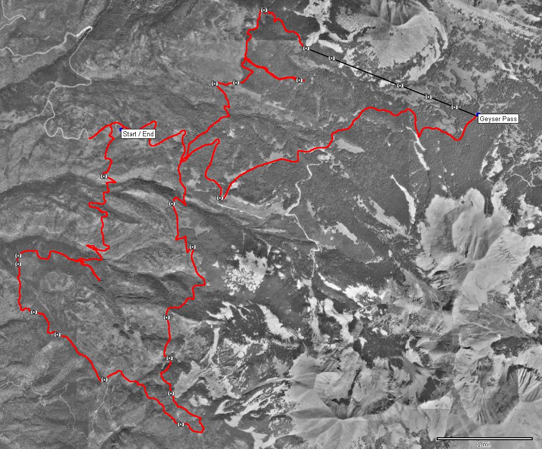
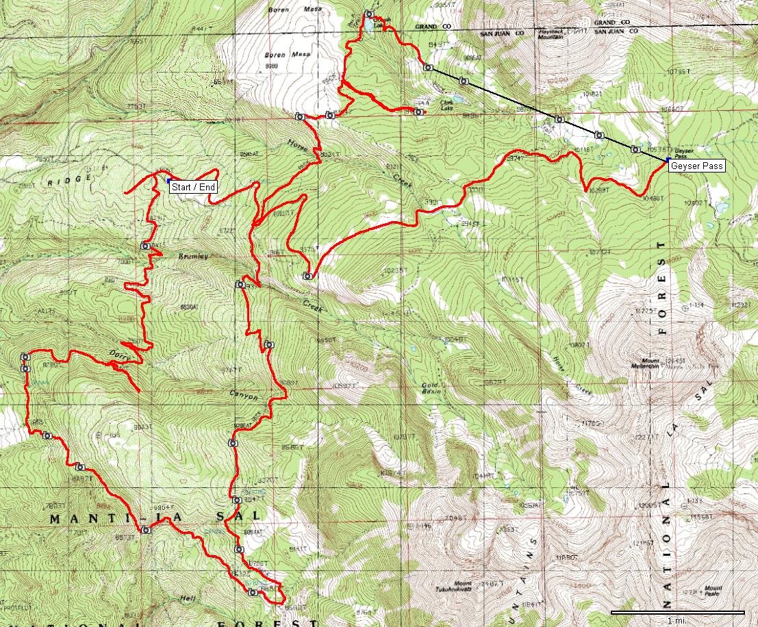
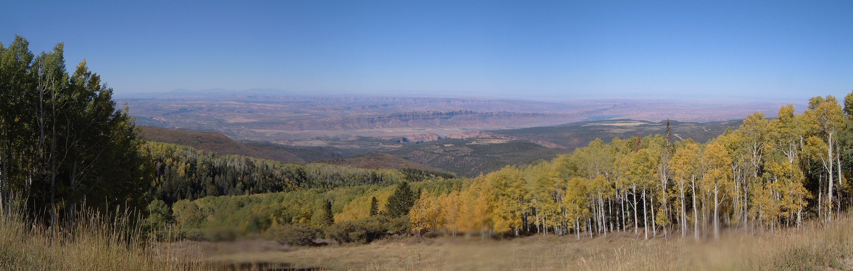
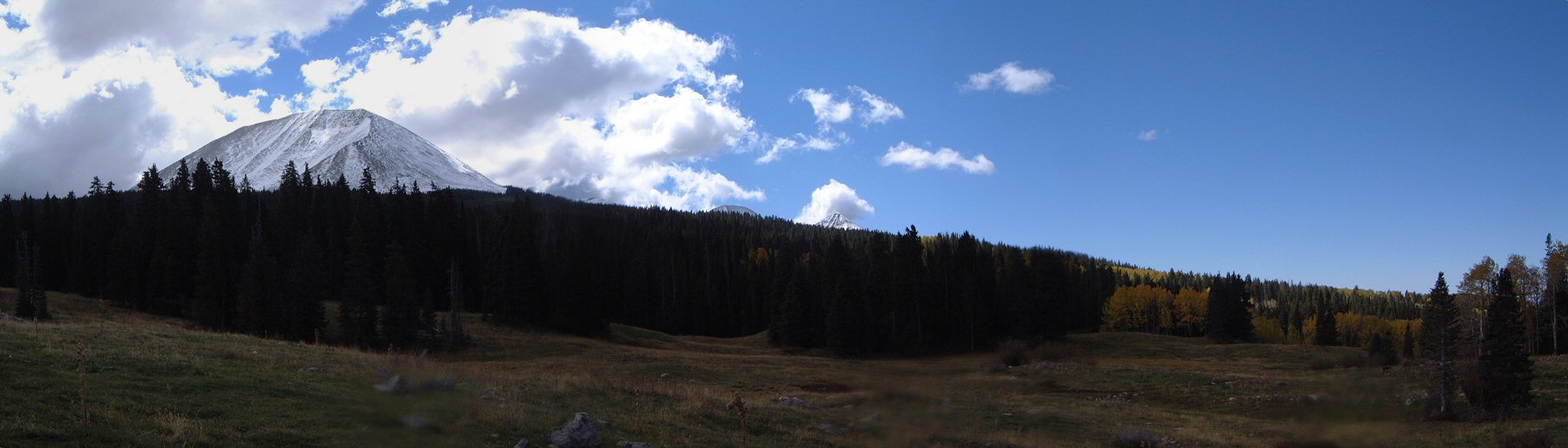
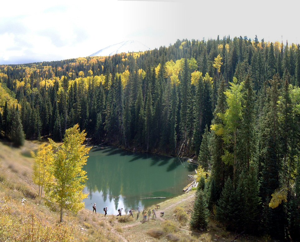
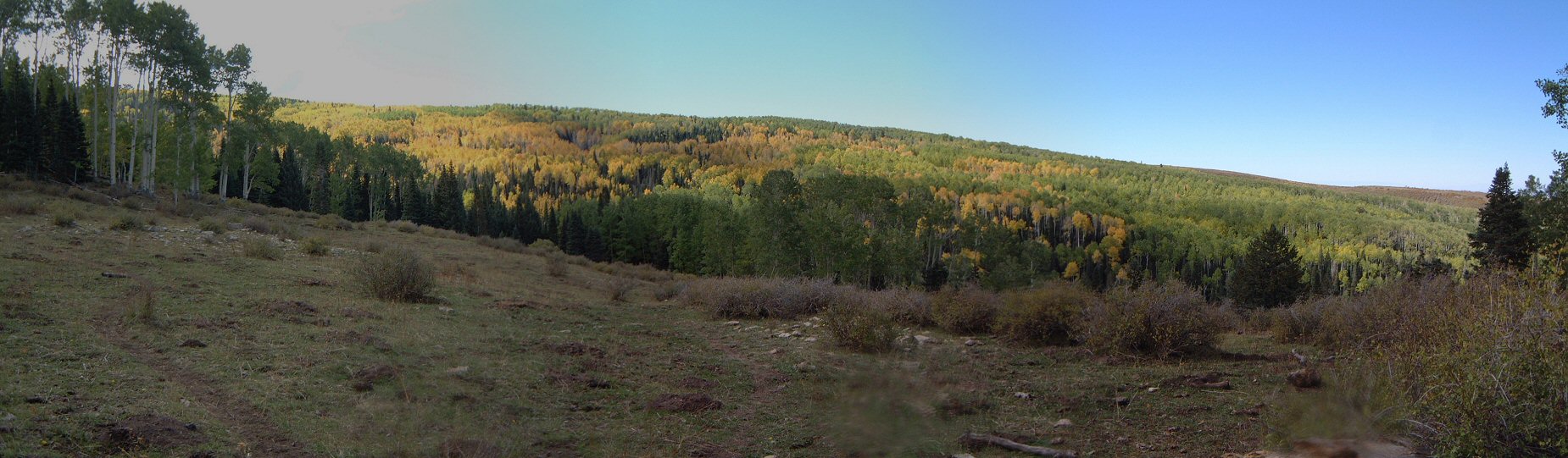
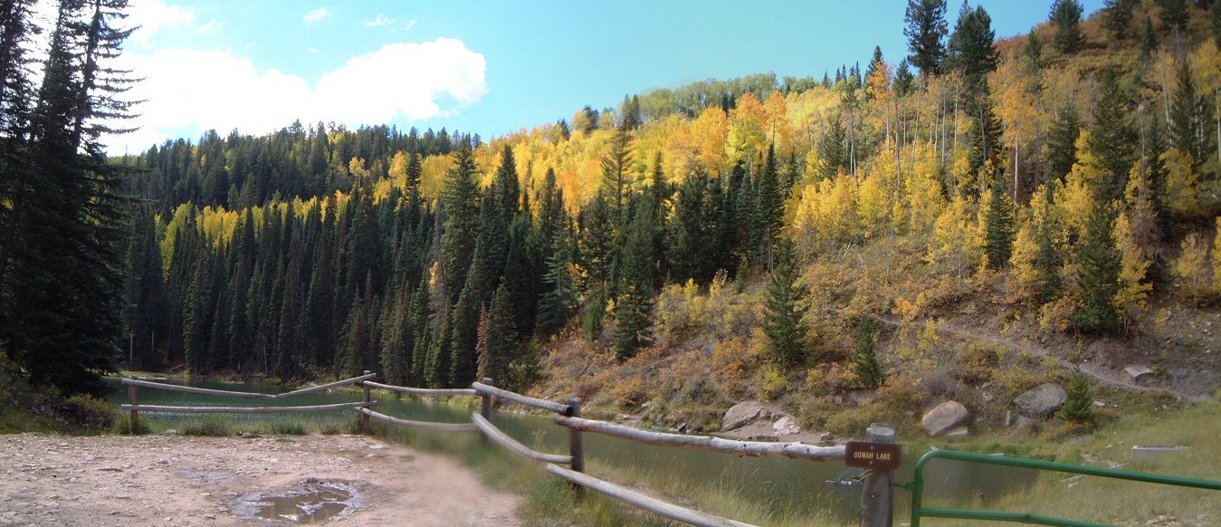
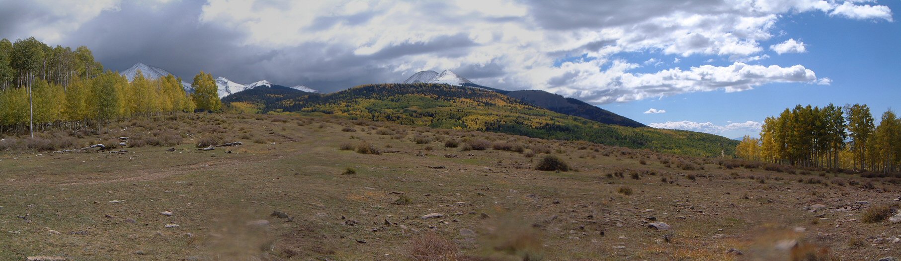
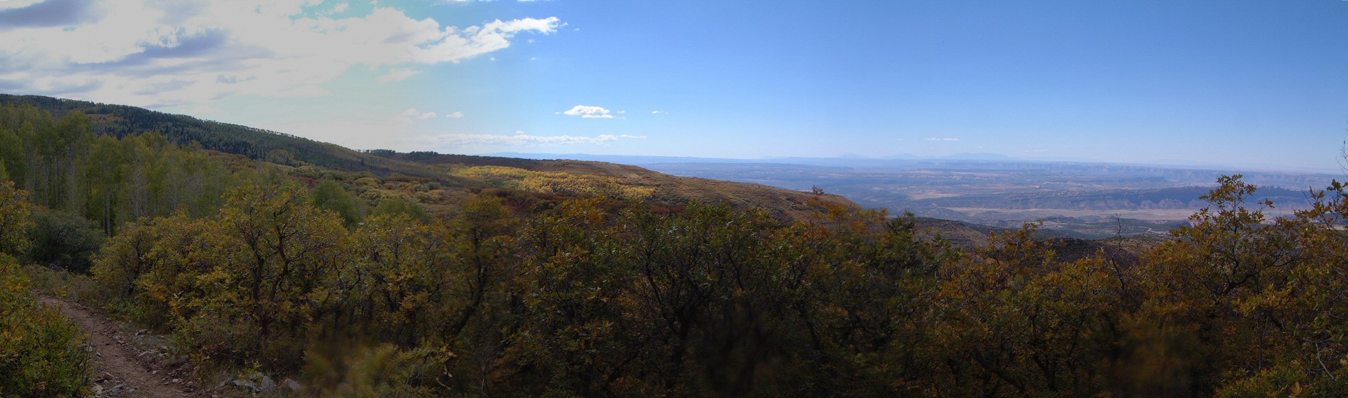
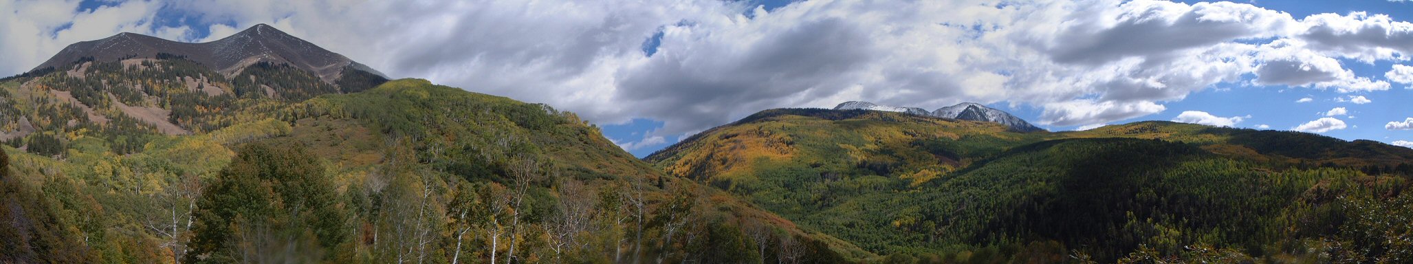
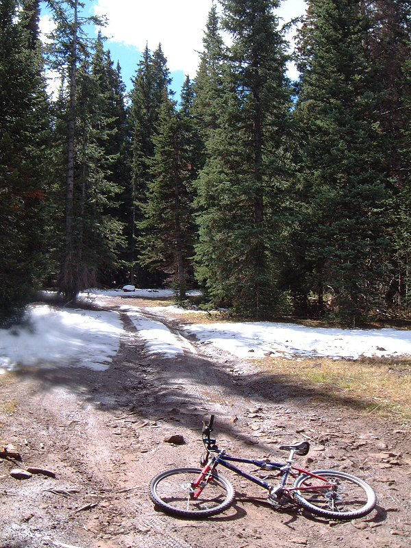
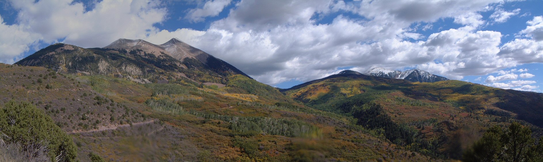
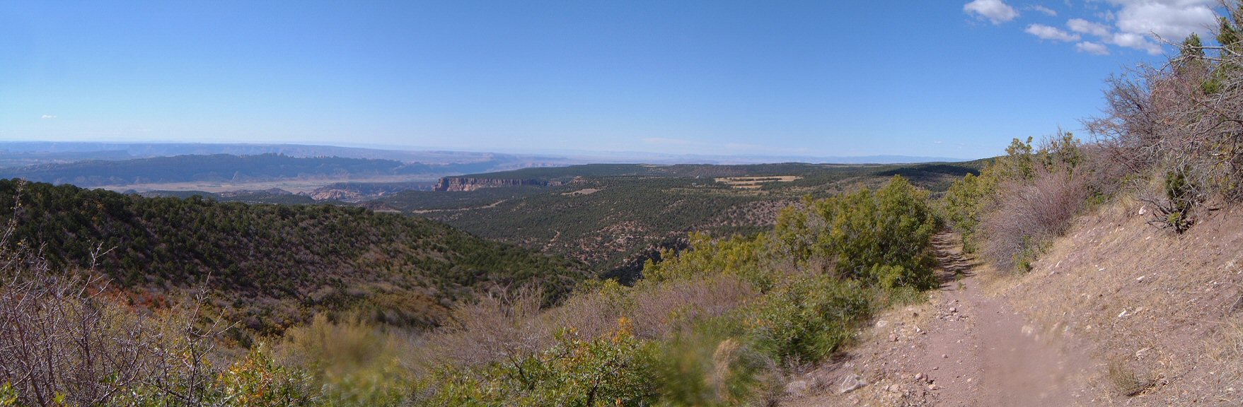
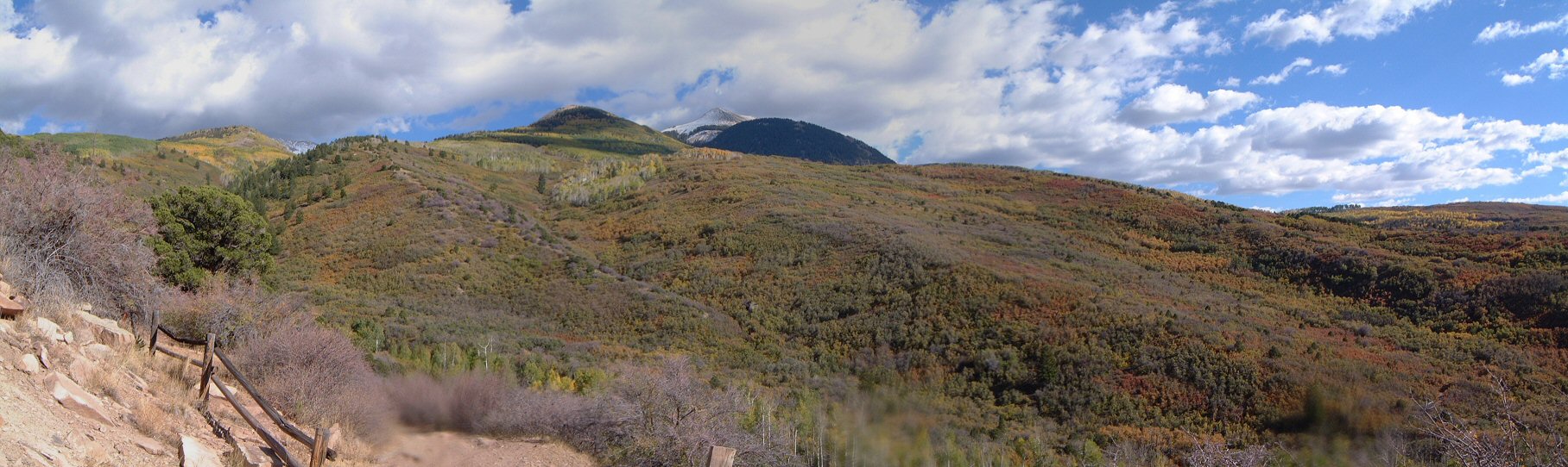
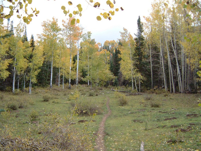
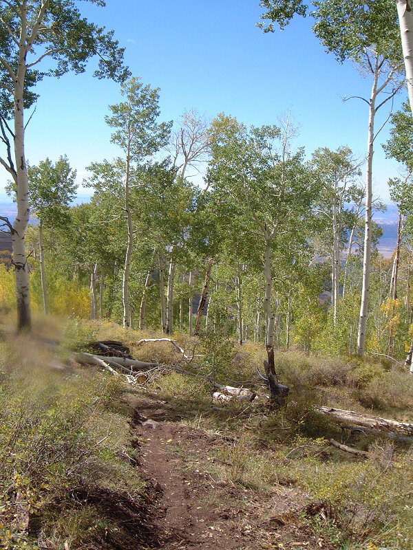
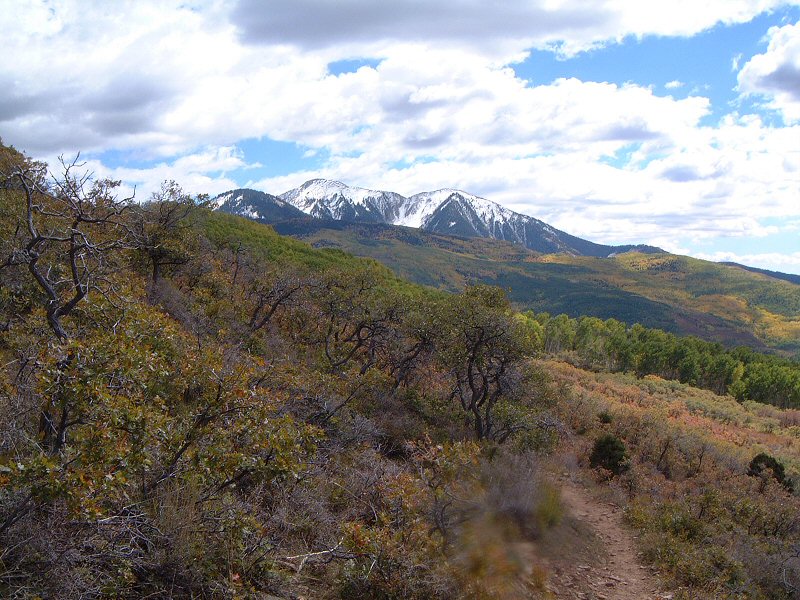
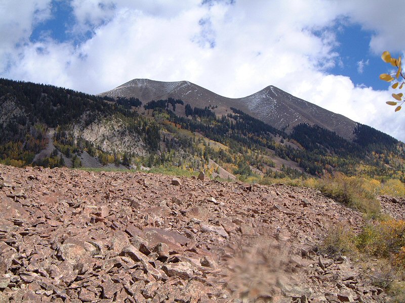
| Description: | The last day of the long weekend in Moab, the plan was to do some riding in the high country. I wanted to do the Shepherder loop, around the highest group of the range. Rode up to Geyser Pass in a relatively chilly morning. From about 10000 ft. there was some snow on the north side. Getting to the pass at 10600ft, the road I was supposed to take was covered with snow. Time for plan B. Down the other side on Moonlight Meadow. The first few miles down were challenging - the meadows were quite muddy, the forest sections were rocky and rooty. Then things mellowed up a bit. I opted for a little extension, rode from ... Lake to Owah Lake. Parts of this trail were OK while parts looked like after bombardment - local cows seem to have taken on hiking. Then there is climb from Owah Lake on Boren Mesa trail, which is white rocky - lots of pushing. I missed the turn and went back towards ... Lake, this part of trail is nice - twisty aspen singletrack. Then there are ups and downs all the way back to Geyser Pass road but overall quite nice.
Here the legs wanted to bail out but brain wanted to keep going, so I hopped on Trans La Sal trail going south. It was not too bad, a couple of rocky spots and some climbing, and rough descent to an old cabin site, but overall a pleasant 5 miles. Here I got on a series of dirt roads that form the last 7 miles of the loop I wanted to do in the first place. The first couple was relatively decent, the rest was quite hellish. Lots of ups and downs, lots of loose rocks and several wrong turns (though the guide I used was pretty decent, it could have been a bit better) made this into a two hour ordeal. Writing this now I am happy I explored the area, but being there I was not. Guess will have to look for alternatives to do the aforementioned loop. |