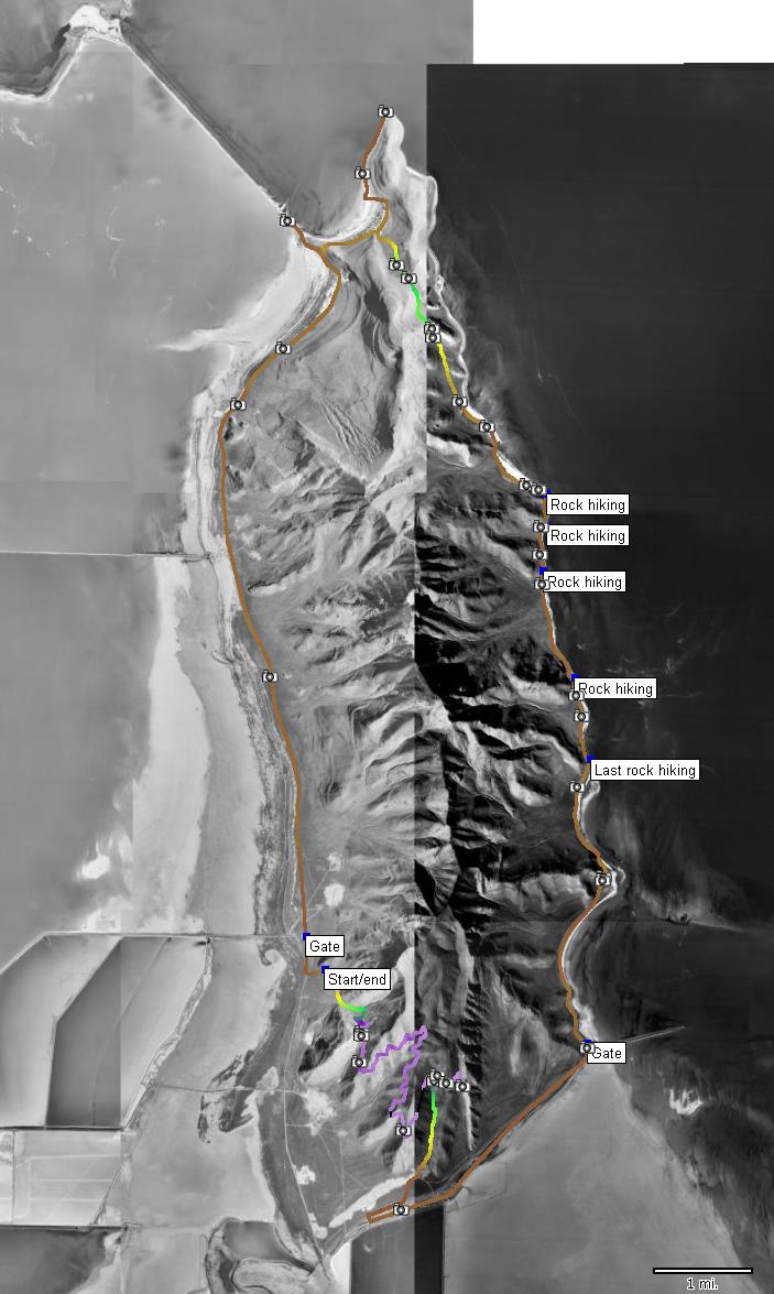
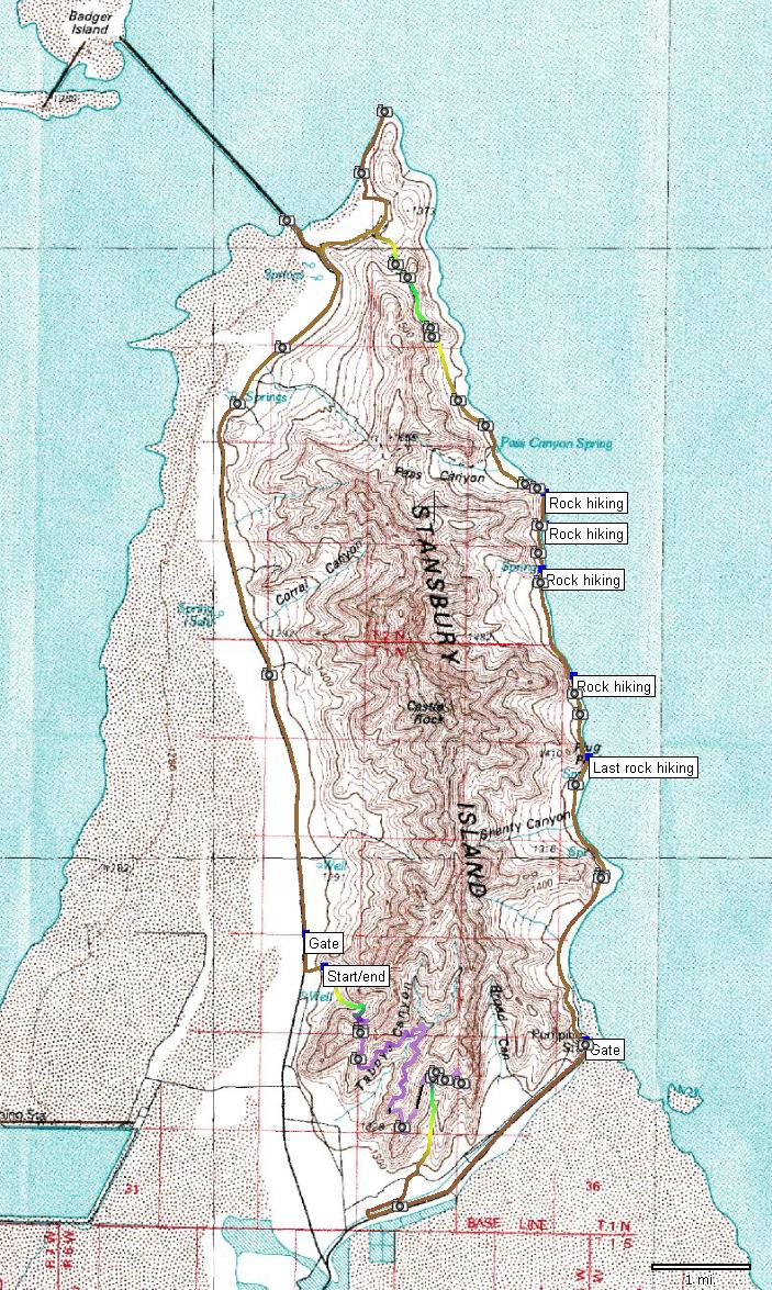
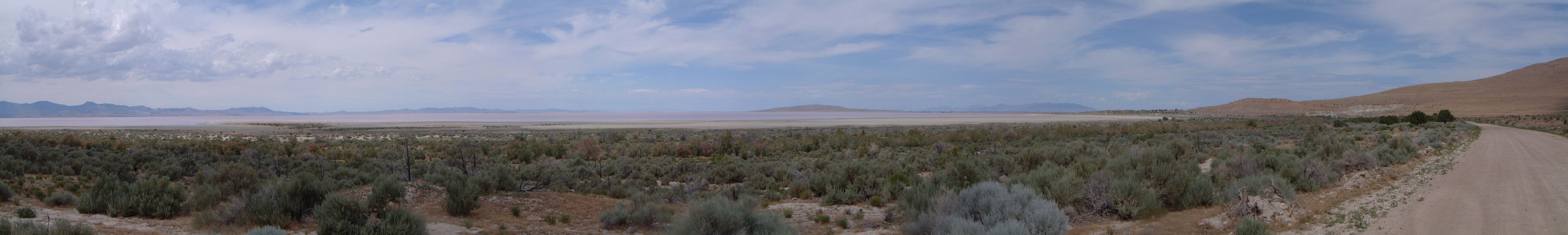
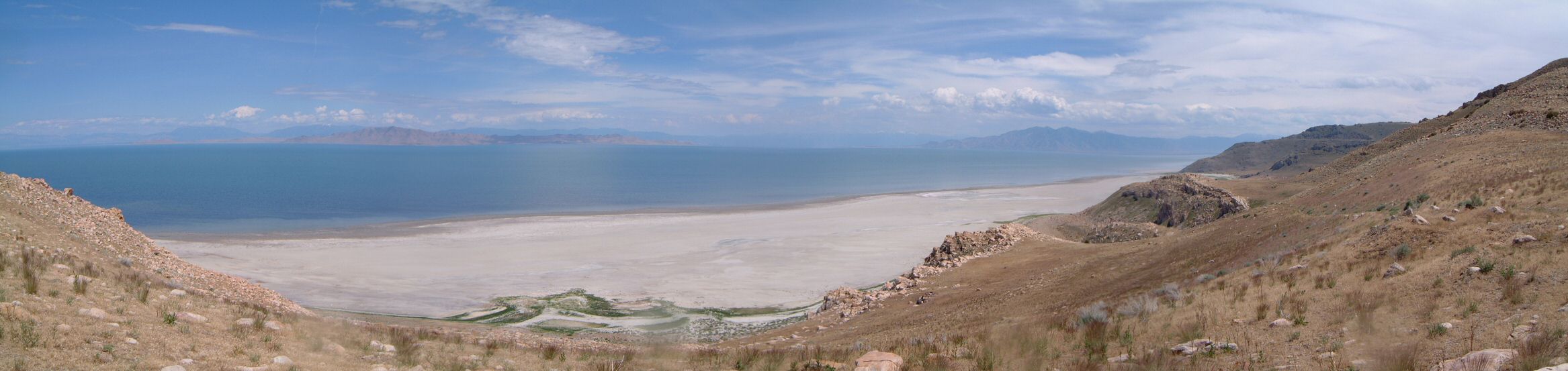
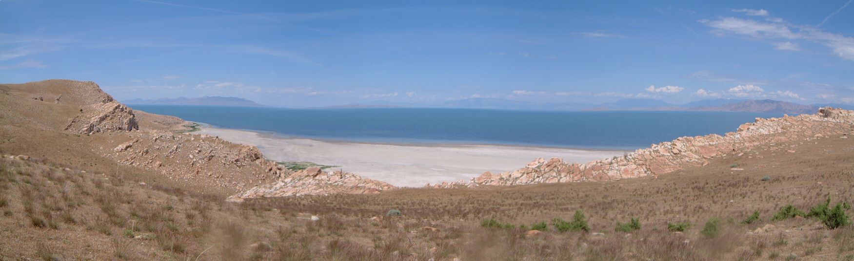
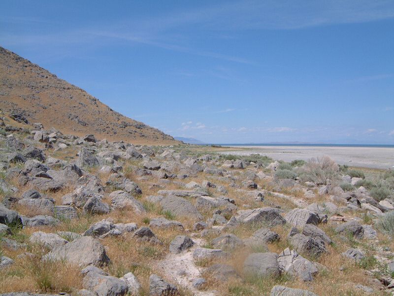
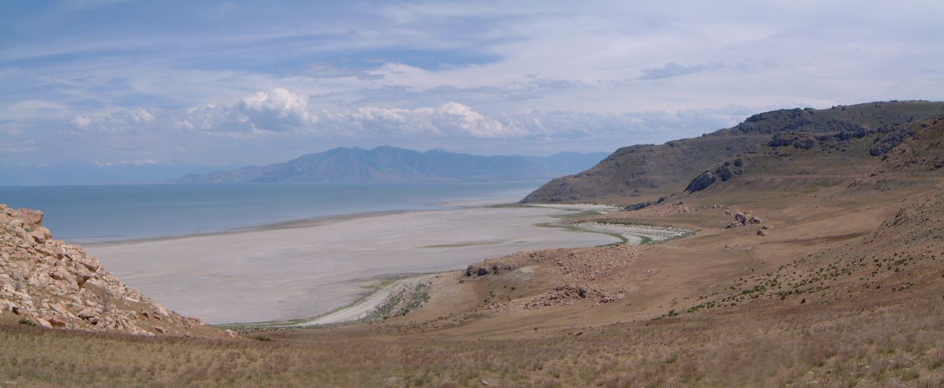
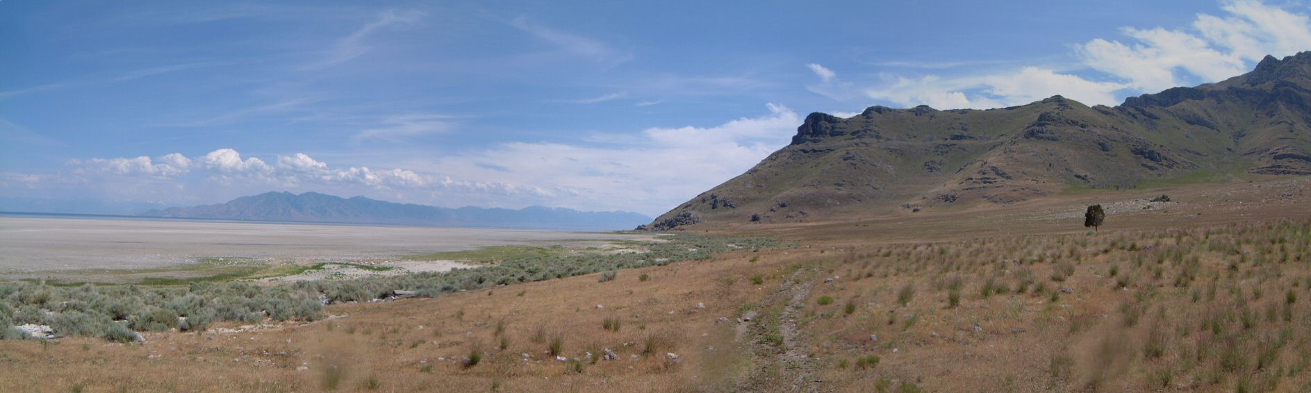
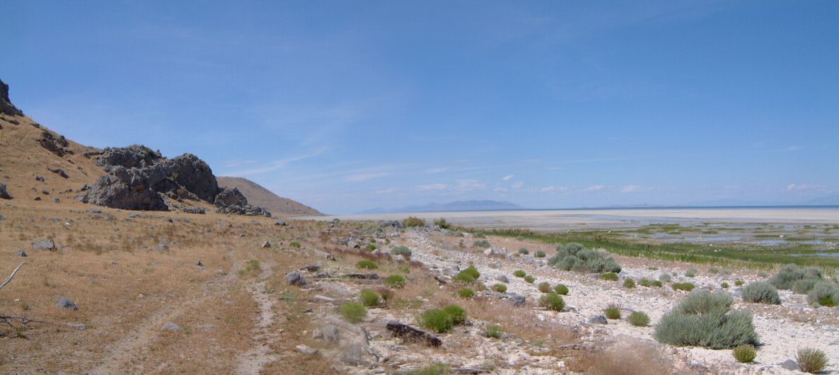
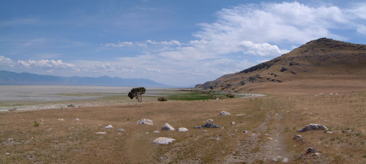
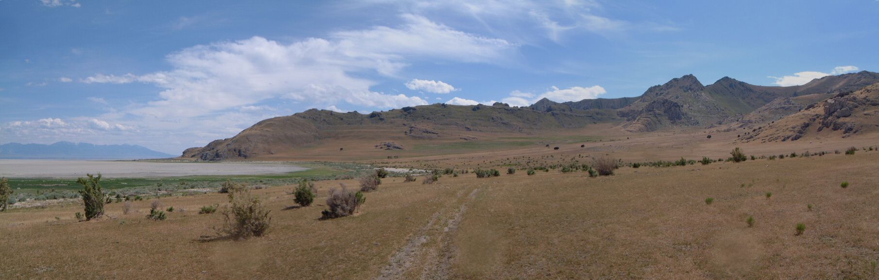
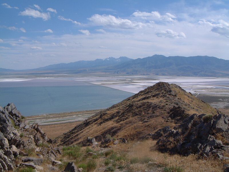
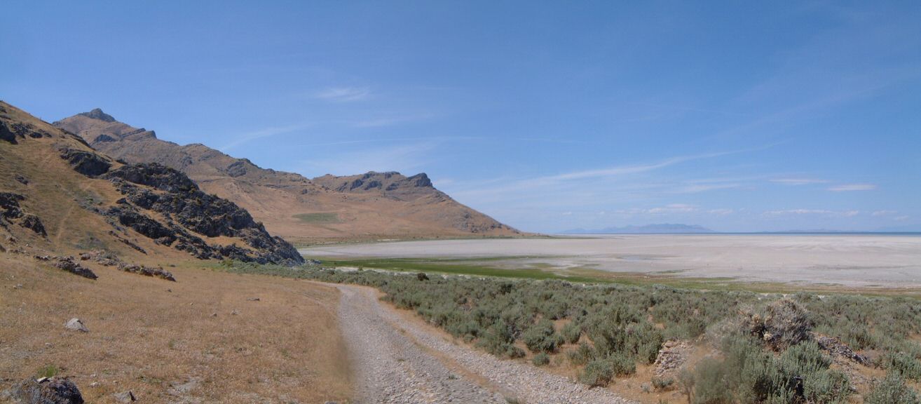
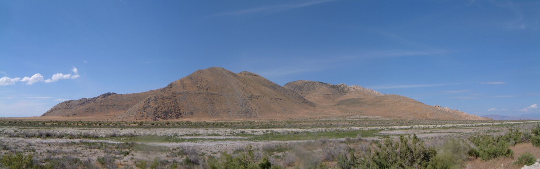
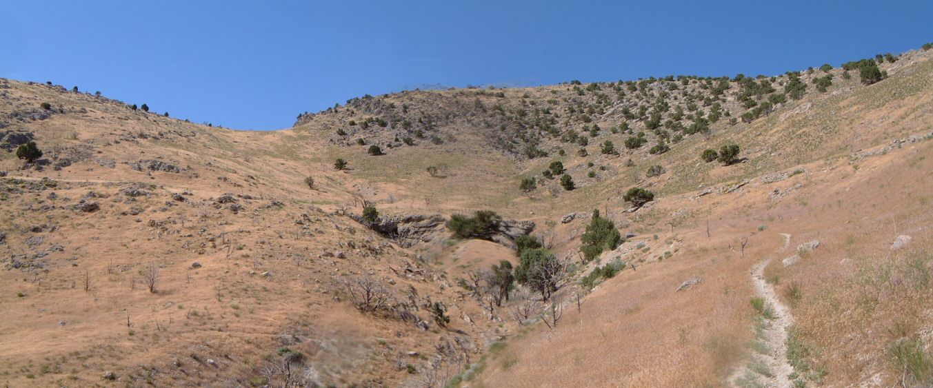
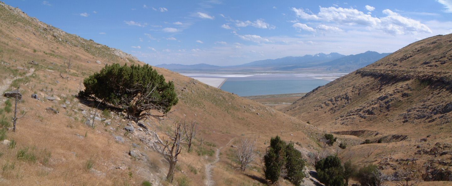
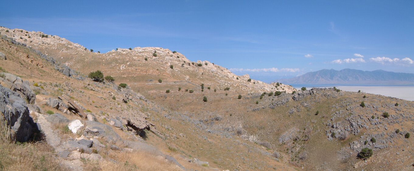
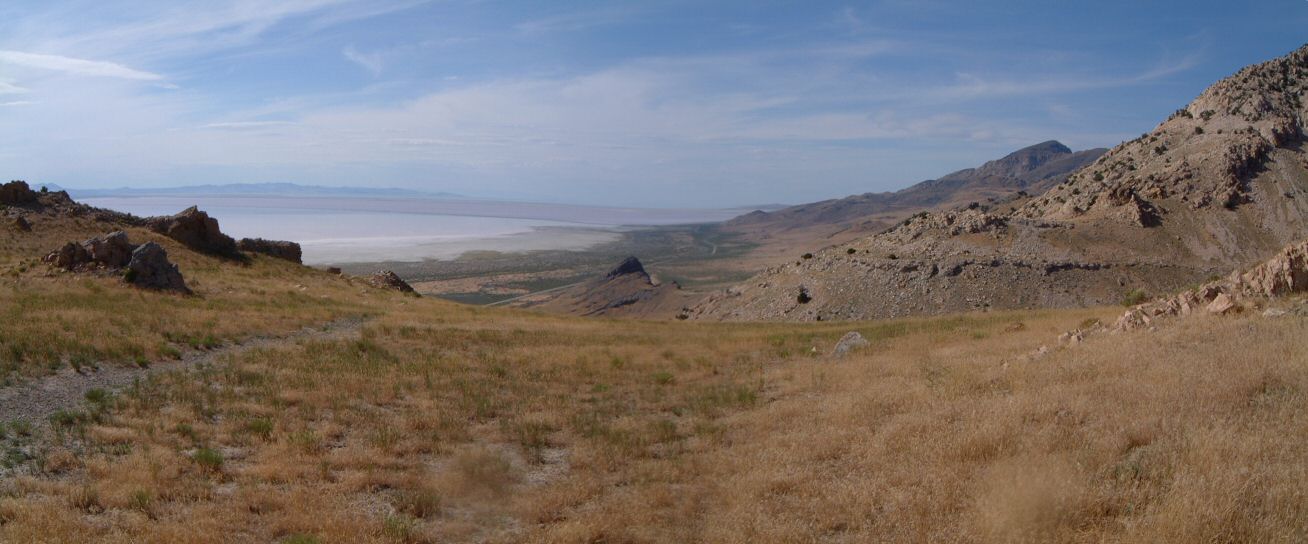
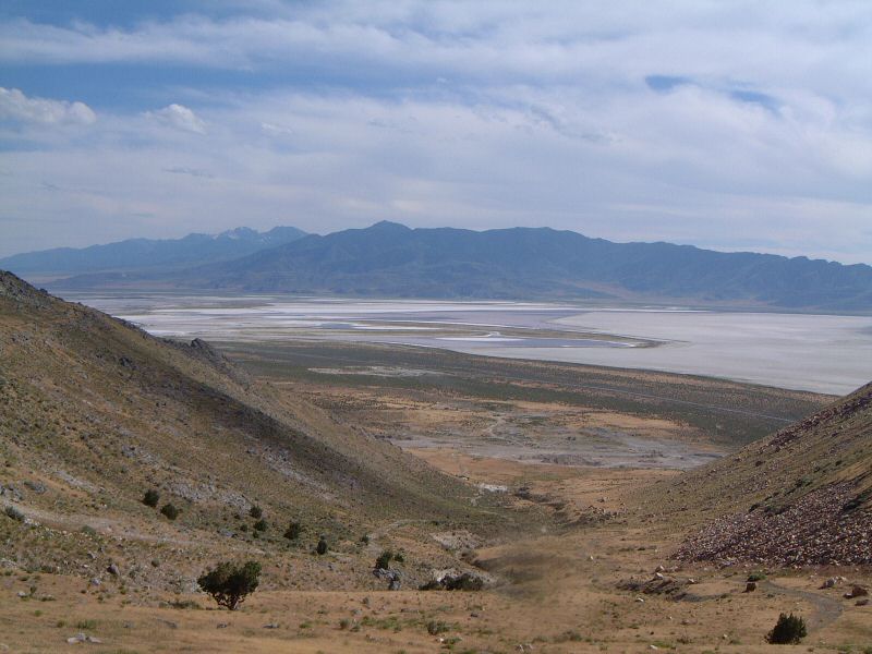
| Description: | This loop is only for brave souls. Mainly because the northern 3/4 of the island seem to be private or leased land. There are gates on both sides of the island, on the western about 1/2 mile north of the Stansbury I. trailhead, on the east at the pumping station. Other complications include indistinct trails, hiking on rocks and aggessive insects.
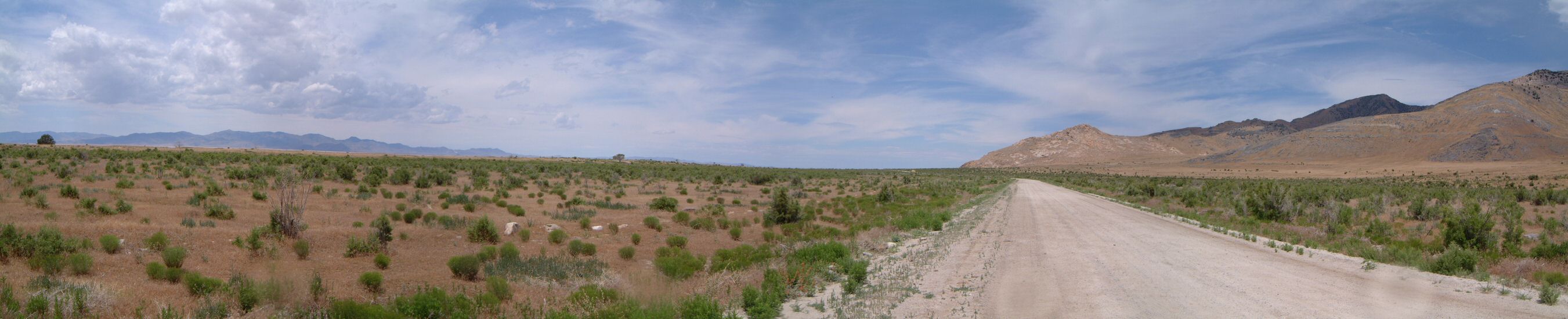
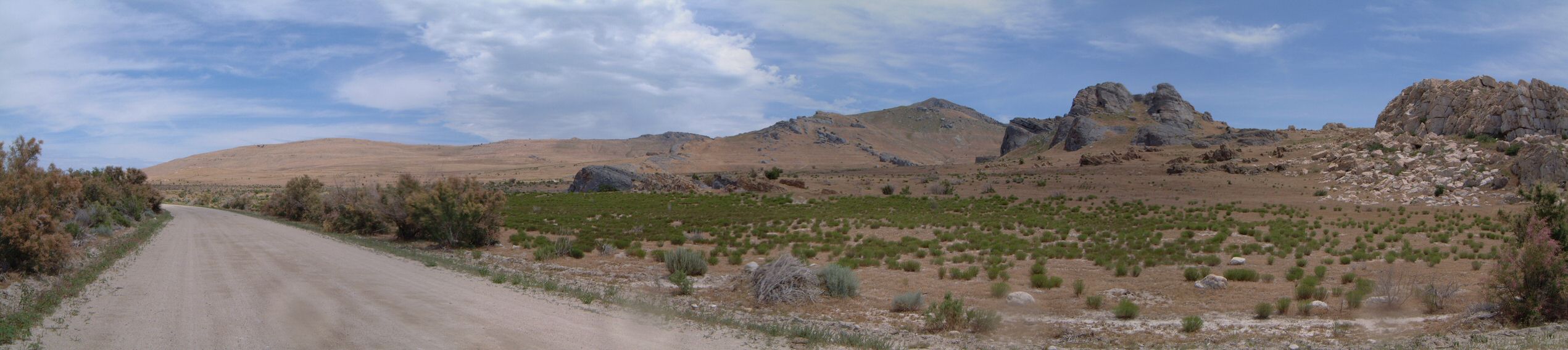
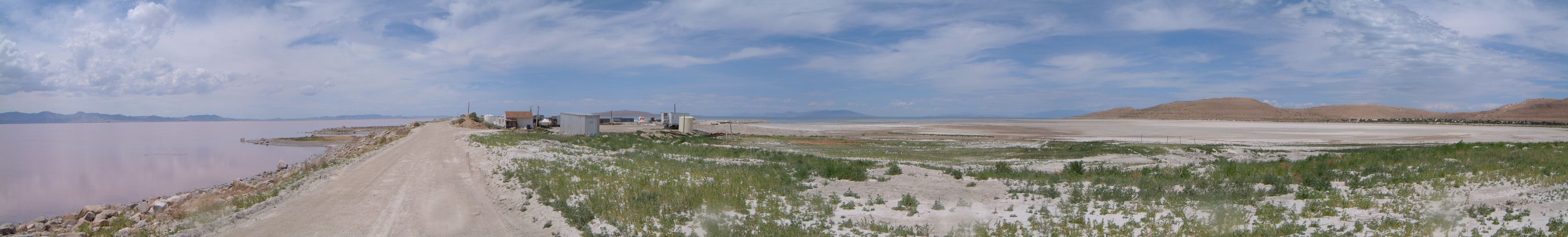
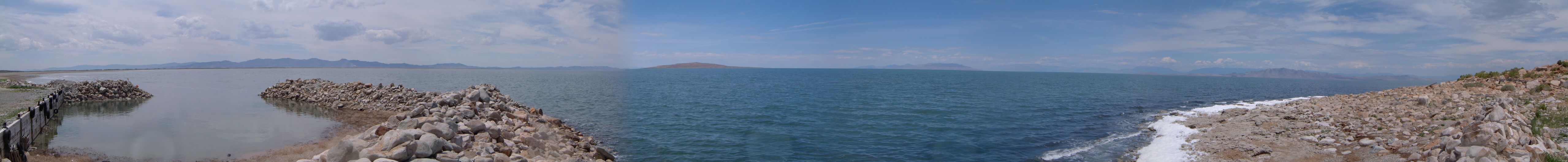
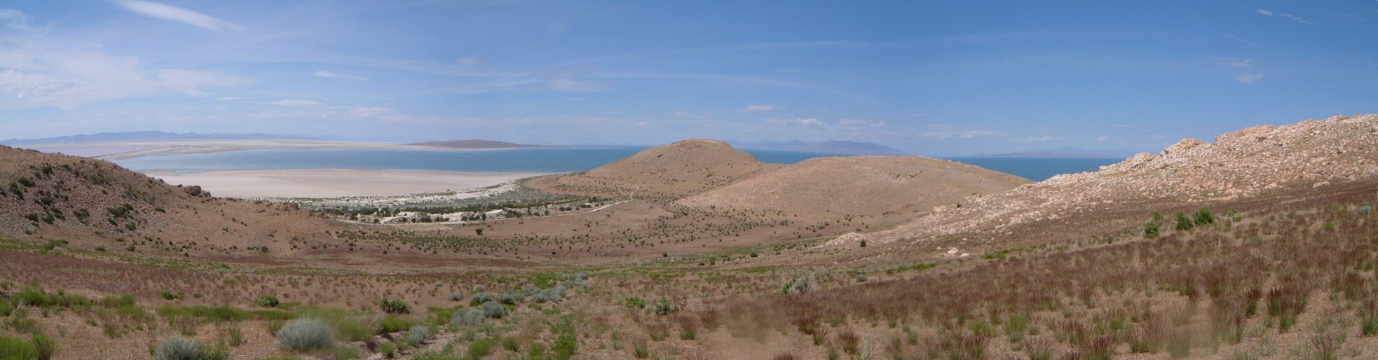
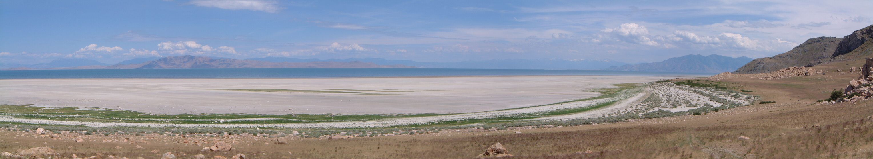
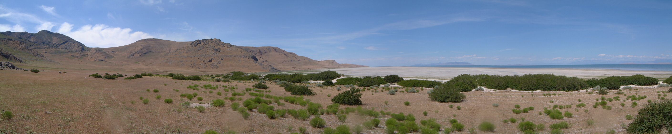
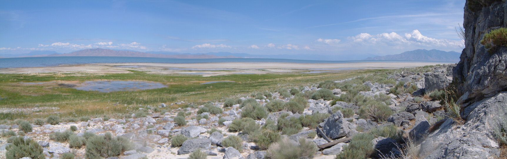
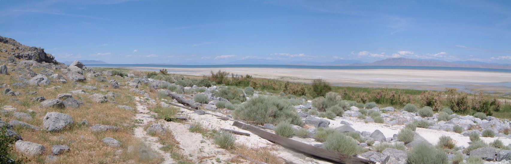
I did the loop clockwise, first part was pretty quick riding on wide dirt road. There seems to be a small settlement on the levy leading to Badger Island, belonging to MagCorp (owner of the smelter west from here and one of the largest air polutants in the country). Thus, I turned around and hopped on a dirt road leading north-east - this one belongs to some brine shrimp company. The road goes to the northern tip of the island where they have a small harbor. As the shrimp season is in the fall, the place was deserted. On the way back, I found a faint doubletrack, that was visible from satellite photos, climbed it up to a pass and did a rocky descent to Pass Canyon. The trail seems to be occasionally used by ATVs, which in this case was good, since they made it visible. On the way, I found a full can of Off bug repelant, so, I took it. The trail sort of disappeared on the first ridge south of Pass Canyon. The ridge is rocky and goes down to a lakeside swamp. I hiked down the rocks to grassy flat of the dried swamp, and rode on a cow path with periodic sand traps. The first stop at the sand brought an unpleasant realization - the grassy areas near the lake were full of mosquitoes. I dashed away from them, but, ended up having to use the Off that I found. Followed about four similar small grassy canyons (rideable) with rocky ridges (hiking about 10 m above the lake sand, away from mosquitoes). After Plug Peak, the ATV trail turned into a dirt road, and the sailing was smooth. I had a bit hard time finding a dirt road that goes up north to the Stansbury Is. Trail, but, in the end found it, and rode the whole singletrack back to the car. |