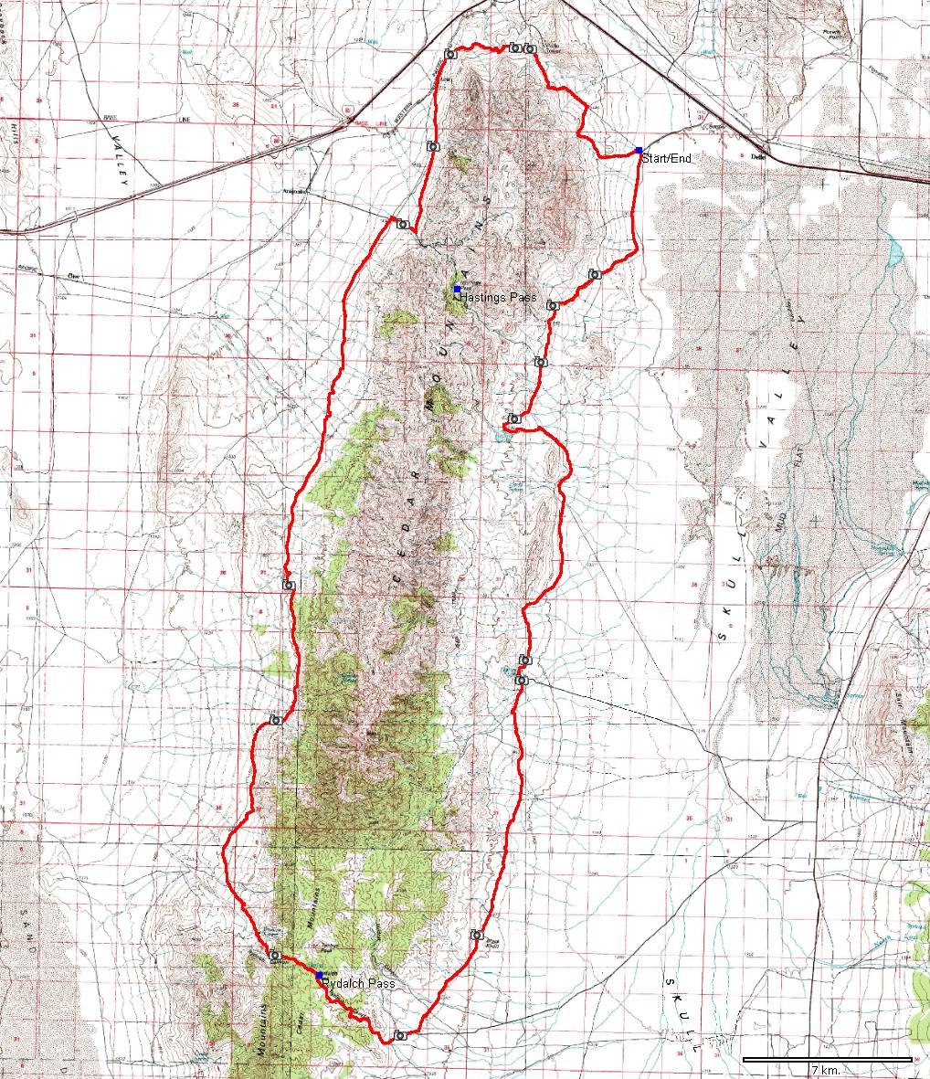
| Name: | Cedar Mountains loop | 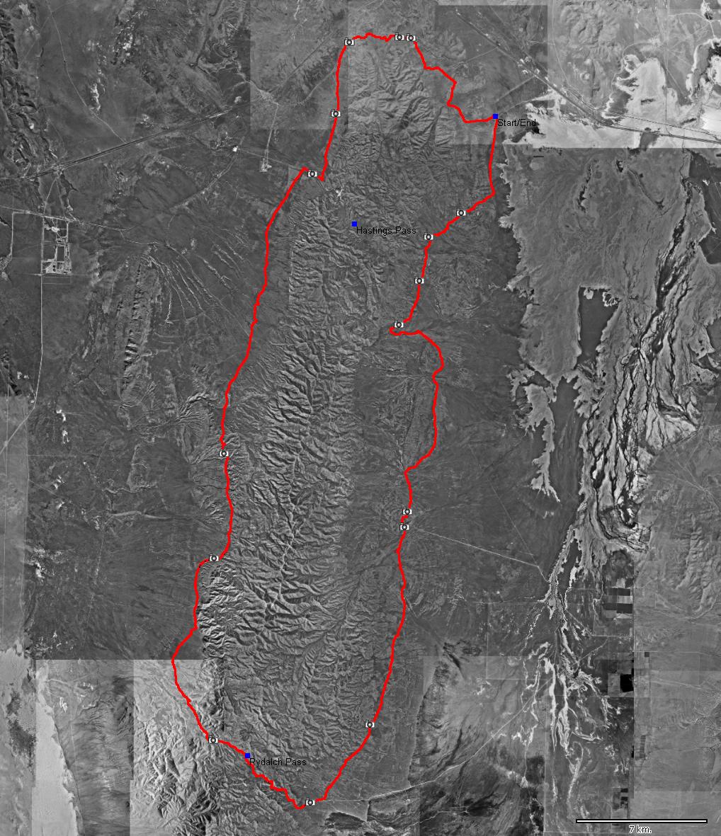
|
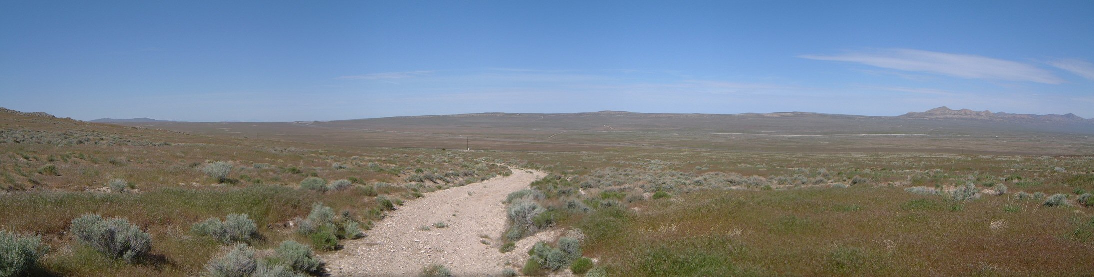
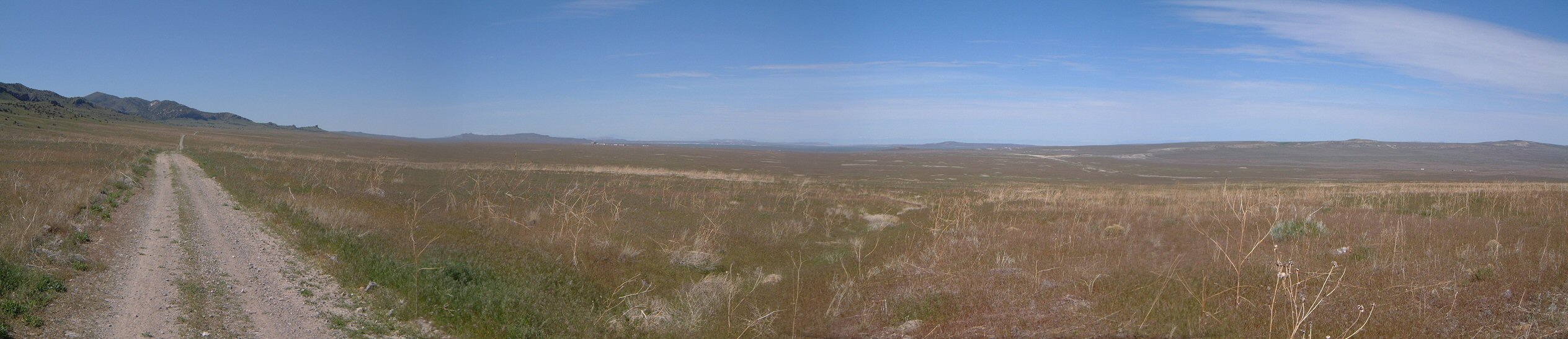
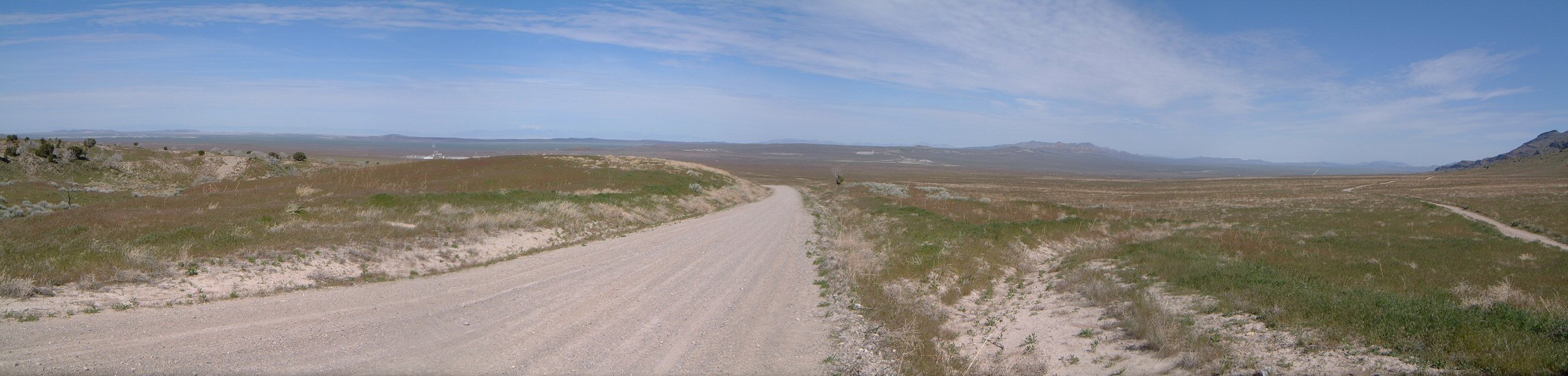
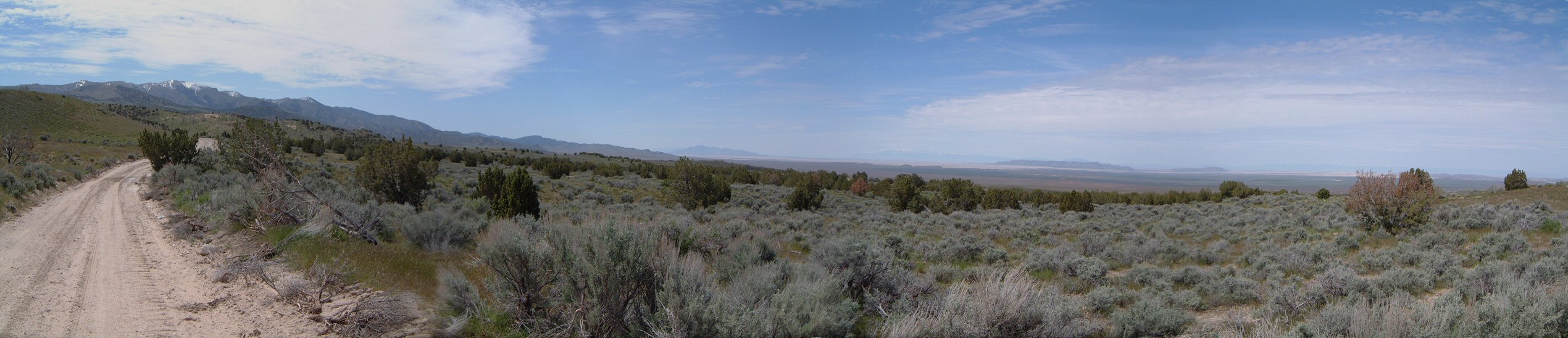
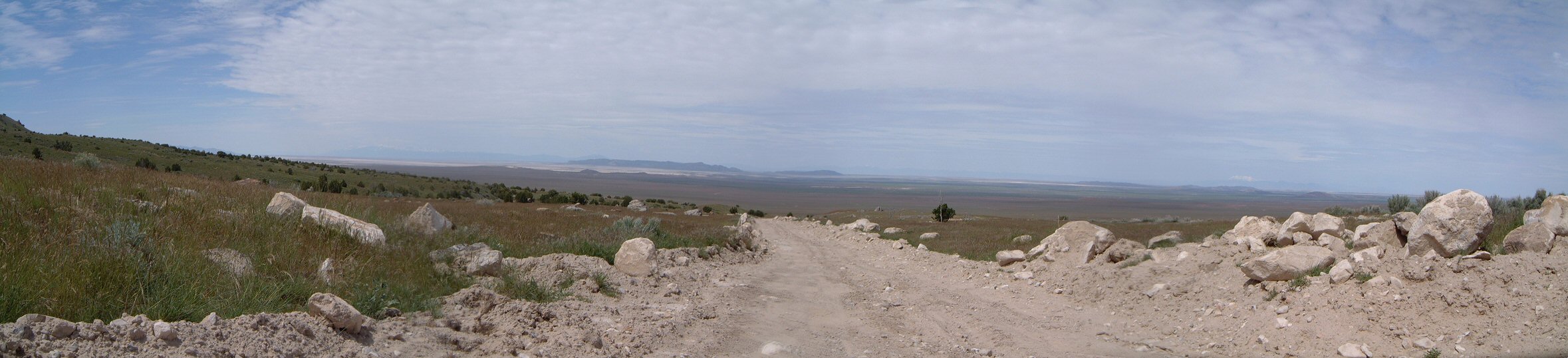
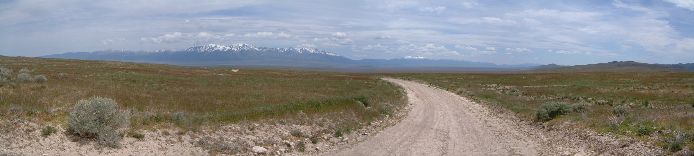
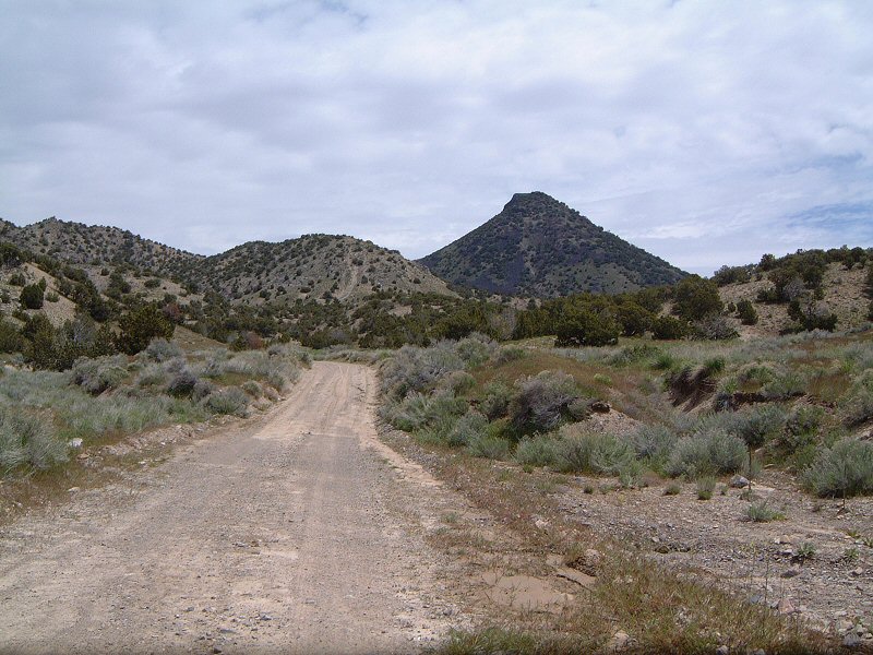
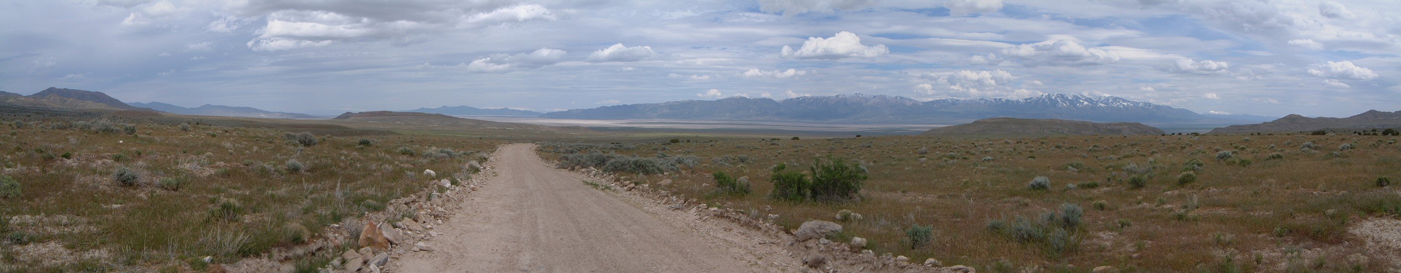
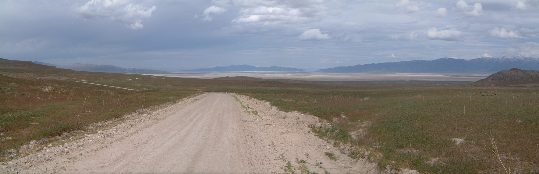
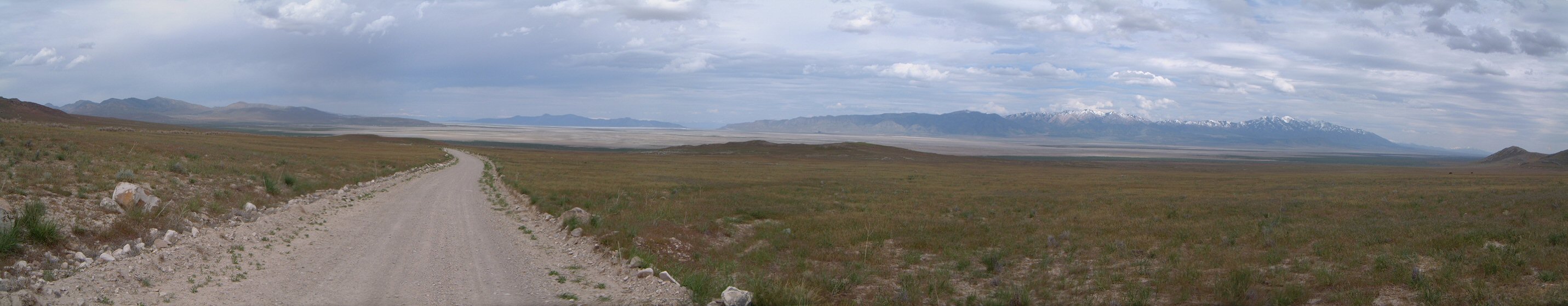
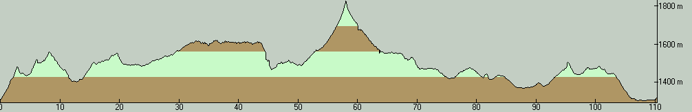
| Description: | Cedar Mountains are third mountain range west from Salt Lake Valley. They are easily accessible from I-80 and there is a network of dirt roads one can explore. A classic loop goes through the mountains through Rydalch and Hasting Pass. This time I decided to extend this a little by starting closer to Delle, ride around the north edge of the mountains, down south to Rydalch Pass and back. The dirt roads from the start towards the railroad were relatively unused, except for ATVs. As such they were rocky and bumpy with a couple of steep climbs. On the way, I passed by a dead cow, an ominous sign that fortunately did not fulfill. The road dropped down towards the railroad tracks and then climbed up a bit towards the Hastings Pass road. Then followed a long slow climb section on the first 2/3 of the western side, first part full of holes from cow hooves. The last third meant a rocky descent and another slow climb towards Rydalch Canyon - it was not too pleasant as the road was again a bit bumpy - first from a bulldozer, then from wild horses. Climb to Rydalch Pass was not too steep but since I was getting tired, it was not too great either. I ate lunch at the pass and rode down. I had tailwind most of the eastern way back, and there was generally flat or downhill on the first 2/3 of the way, so, this was quite pleasant and fast. Then followed a bit of a climb towards Hastings Pass road, and another descent and flat ride back to the car. Overall a good exploration and workout ride - quite different from the first ride I did in the fall. I'd say that the clockwise loop is a bit easier climb-wise than the counter-clockwise. Also, there was no dust this time, but the recent rains made some parts of the roads much more bumpy. | |
| URL: | TopoFusion Home Page | |
| ||
| ||
| Total Distance: | 68.60 miles (110.39 km) |
| Total Trip Time: | 6:53:13 (5:35:56 moving time) |
| Total Climbing: | 6308 feet (1923 m) |
| Total Descending: | 6234 feet (1900 m) |
| Average Speed: | 12.25 mph (19.72 kph) |