| Name: | Grandeur Peak from west | 
|
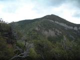
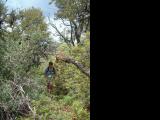
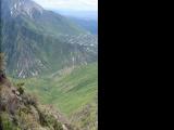
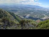
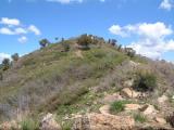
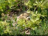
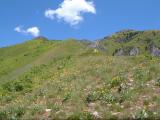
| Description: | Started off a subdivision around 3300 South and hiked up steep hill that turns into the soutnwestern ridge. There was several false summits and about 30% of the length in the upper elevation was quite a bushwhack. There is no solid trail on this ridge, just occasional game trails. A positive was some nice views towards Rattlesnake Gulch of Millcreek. Down from the peak we took the northwestern ridge, which has a distinct trail on it. This descent was uneventful except for an encounter with a rattlesnake. We returned south towards the car on a jeep trail turning into a singletrack, resembling a portion of the Shoreline trail. | |
| URL: | TopoFusion Home Page | |

| ||

| ||
| Total Distance: | 4.91 miles (7.91 km) |
| Total Trip Time: | 4:41:17 (3:34:10 moving time) |
| Total Climbing: | 3044 feet (928 m) |
| Total Descending: | 3736 feet (1139 m) |
| Average Speed: | 1.38 mph (2.22 kph) |
 grand1.jpg |
 grand1s.jpg |
 grand2.jpg |
 grand2s.jpg |
 grand3.jpg |
 grand3s.jpg |
 grand4.jpg |
 grand5.jpg |
 grand6.jpg |