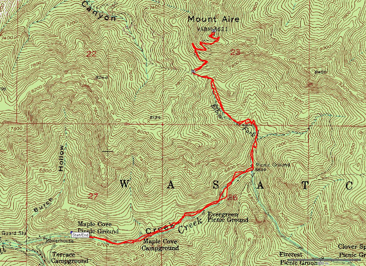
| Name: | Mt. Aire from Millcreek Cyn. gate | 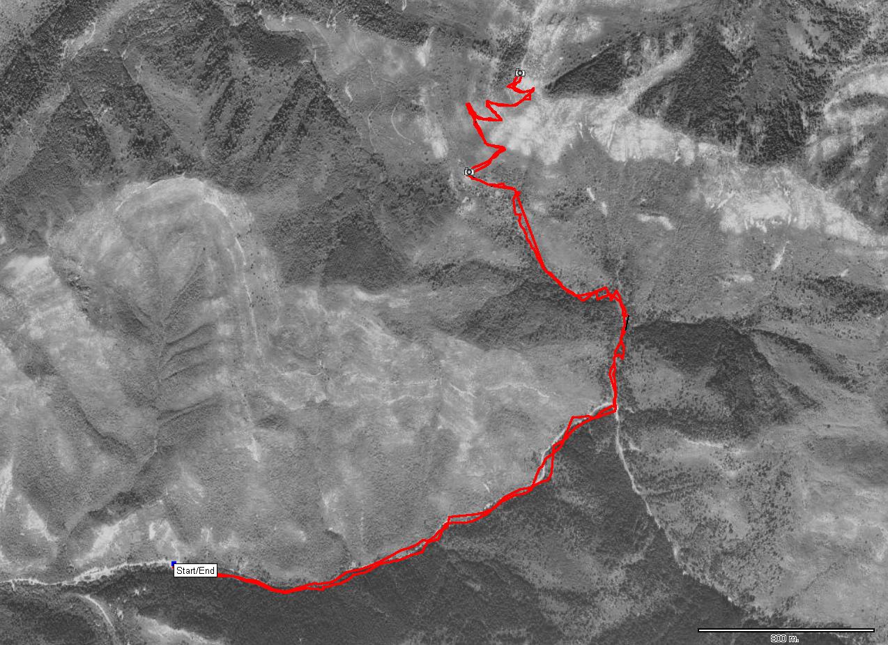
|
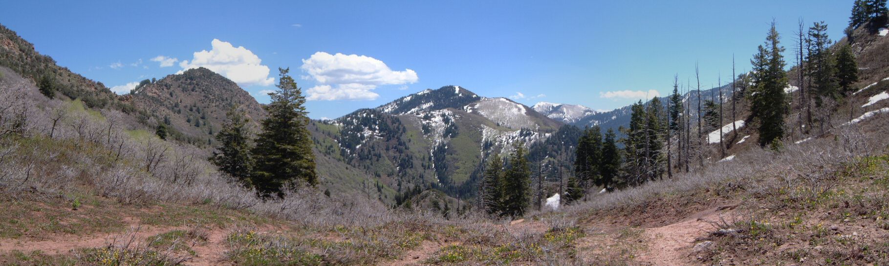
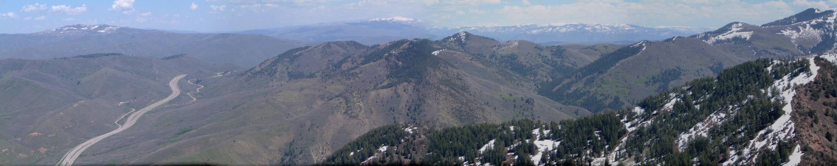
| Description: | A leisurly hike to Mt. Aire to explore how much snow is about 8000 ft. There was none on the south side and patches on the north side. | |
| URL: | TopoFusion Home Page | |
| ||
| ||
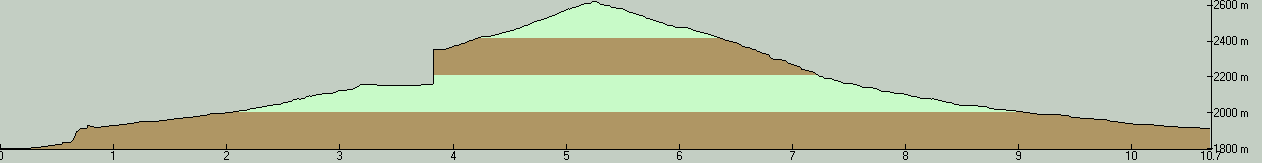
| Total Distance: | 6.65 miles (10.70 km) |
| Total Trip Time: | 3:58:05 (2:41:57 moving time) |
| Total Climbing: | 2042 feet (622 m) |
| Total Descending: | 2301 feet (701 m) |
| Average Speed: | 2.46 mph (3.97 kph) |
 mt_aire1.jpg |
 mt_aire2.jpg |
 mt_aire3.jpg |