| Name: | Red Cliffs Desert Preserve in a day | 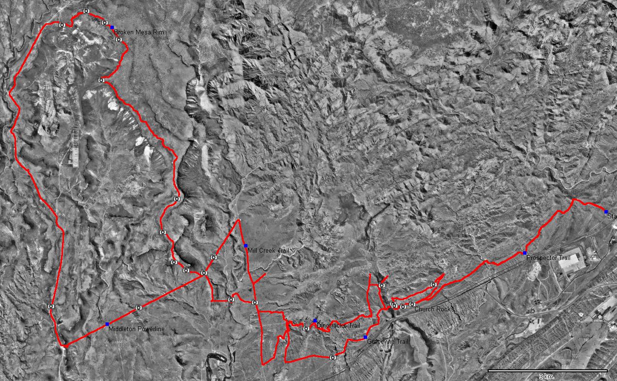
|
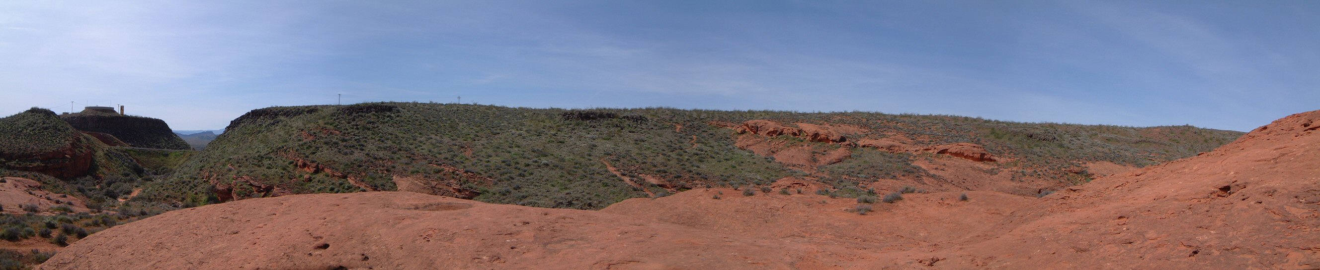
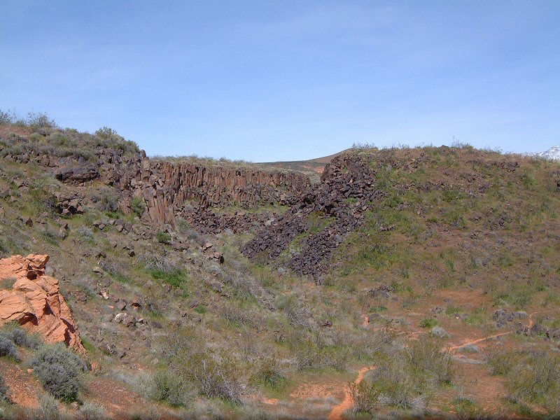
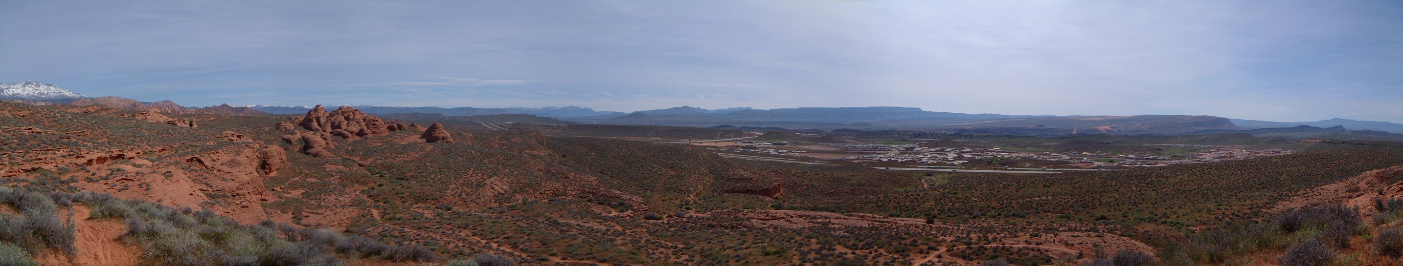
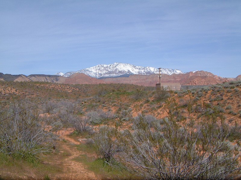
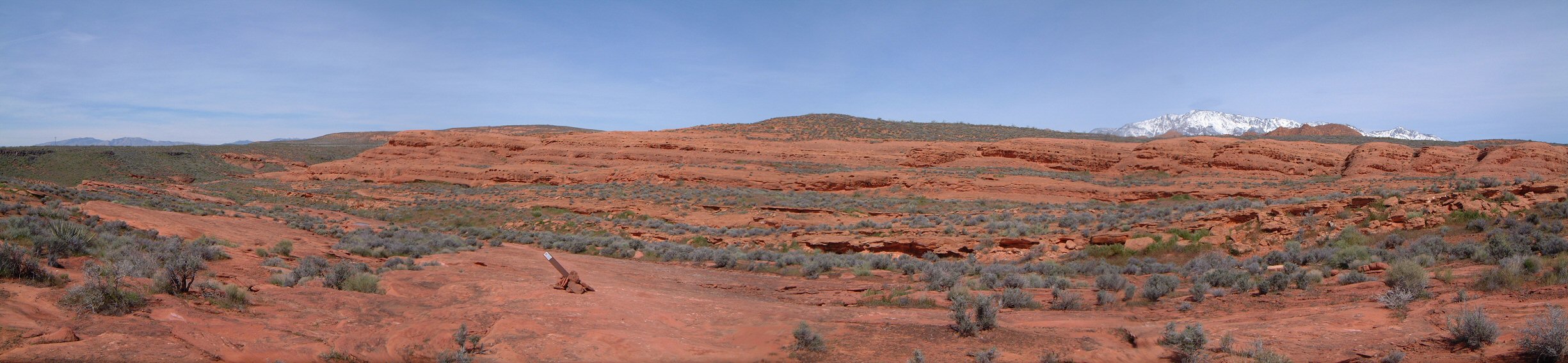
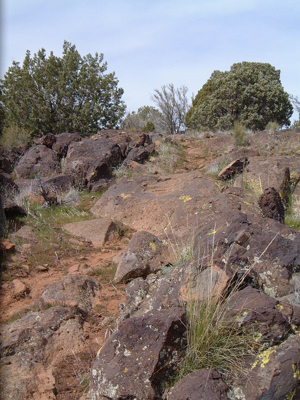
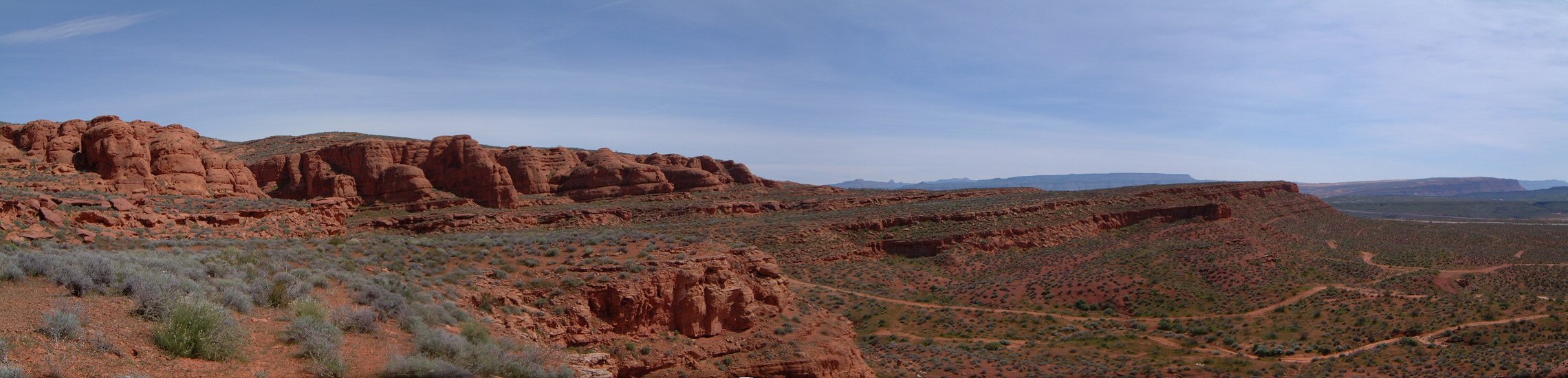
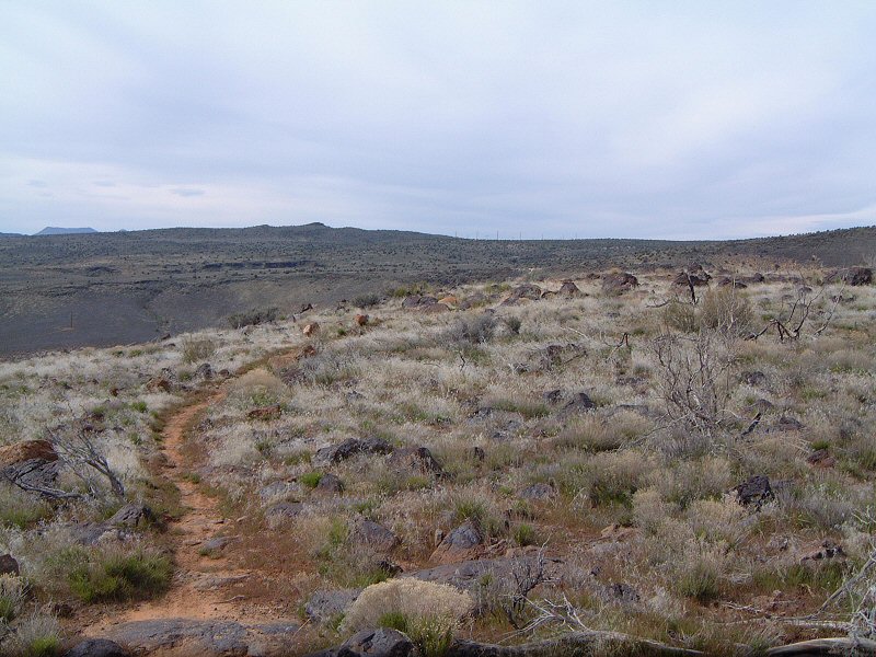
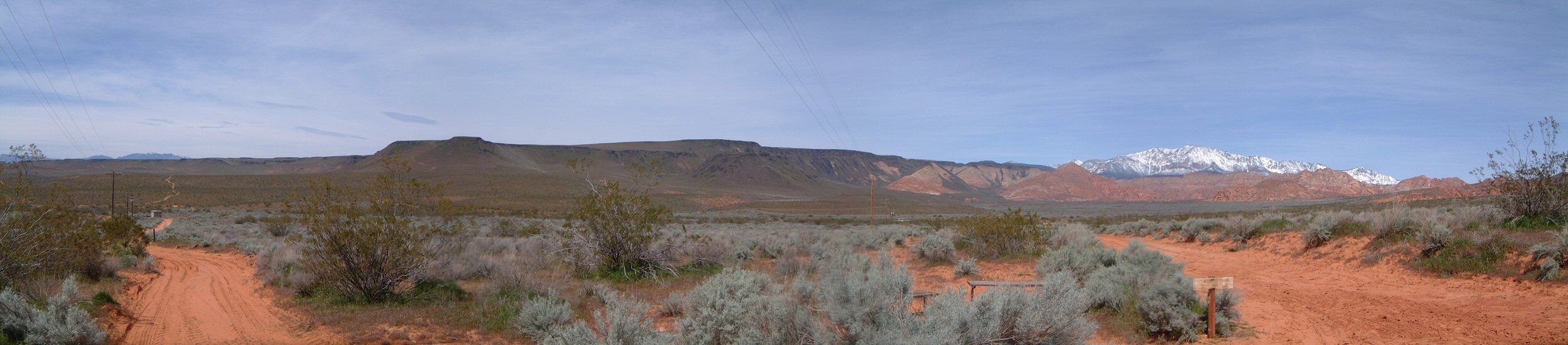
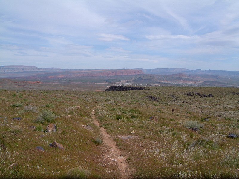
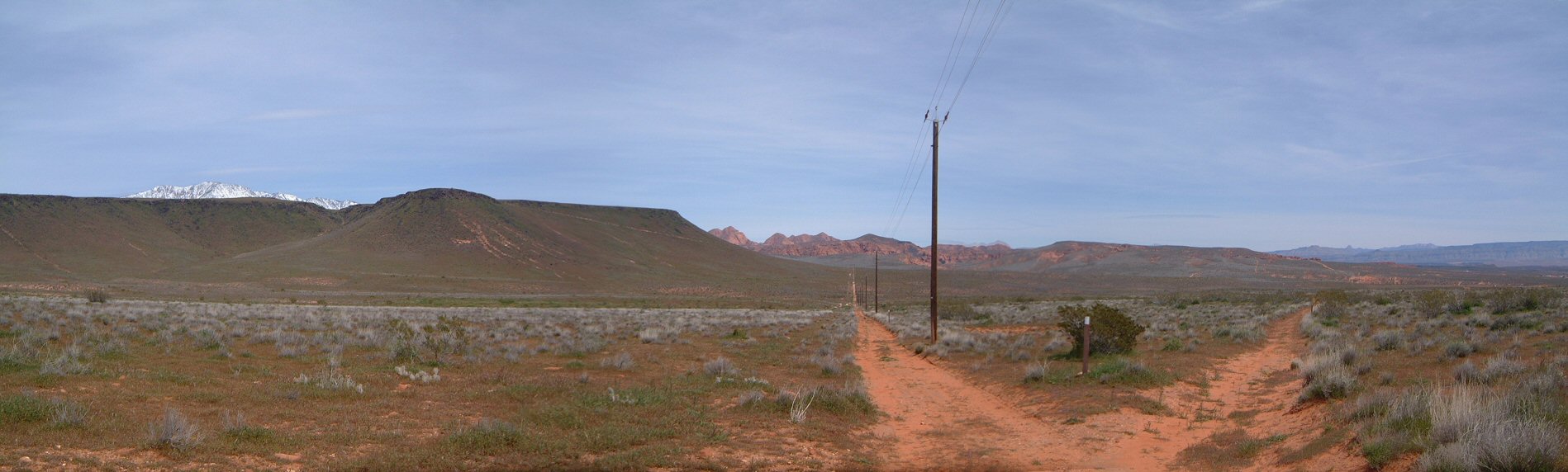
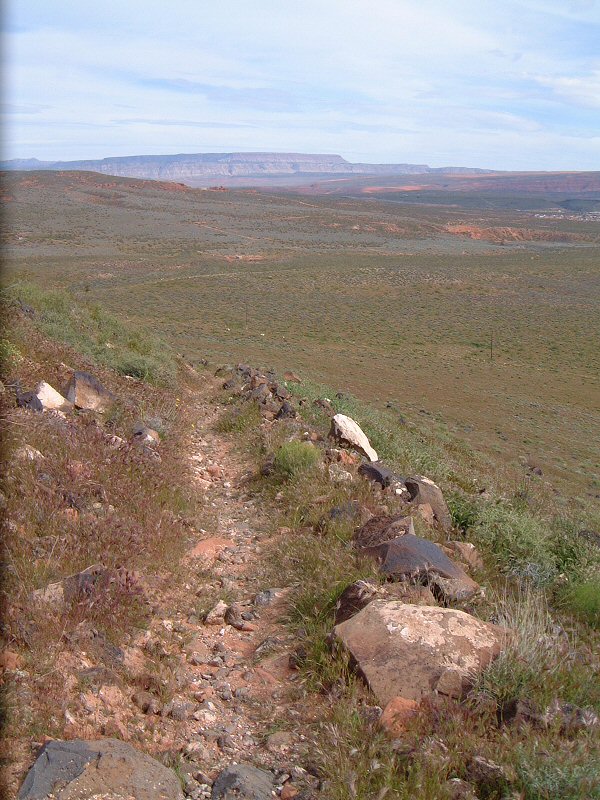
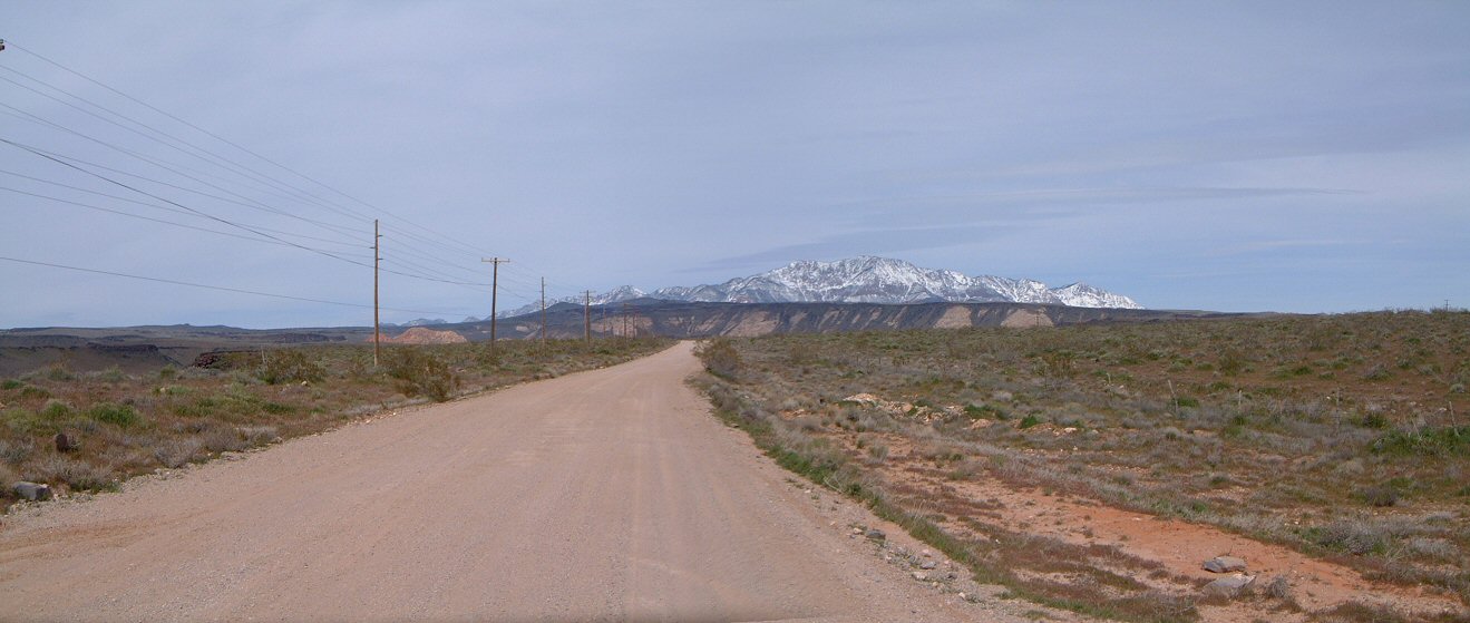
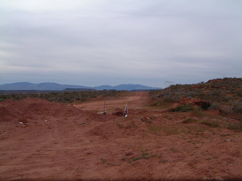
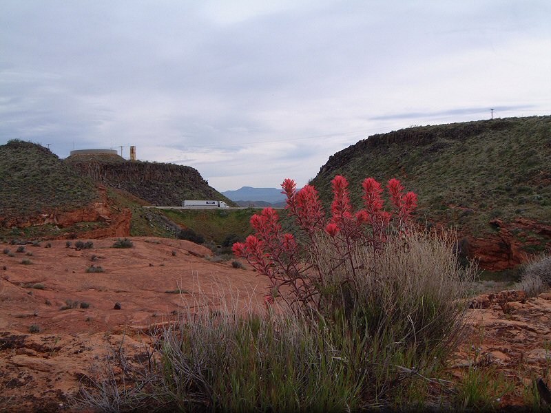
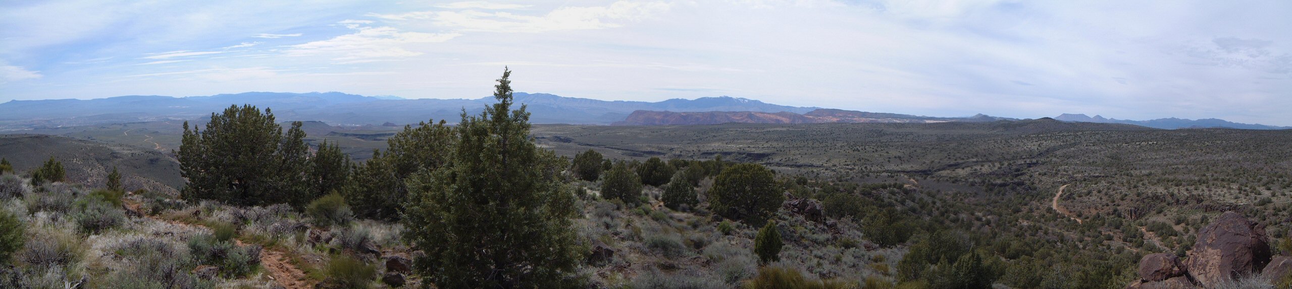
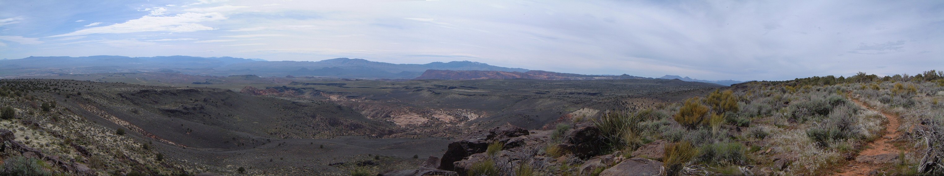
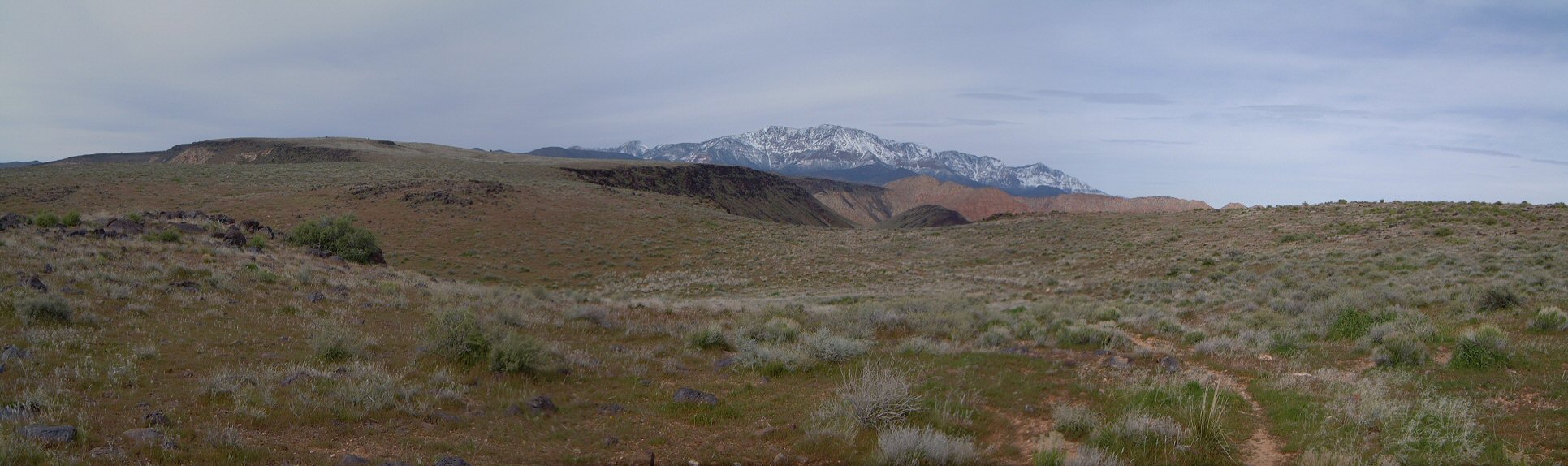
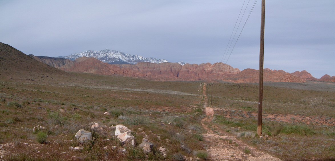
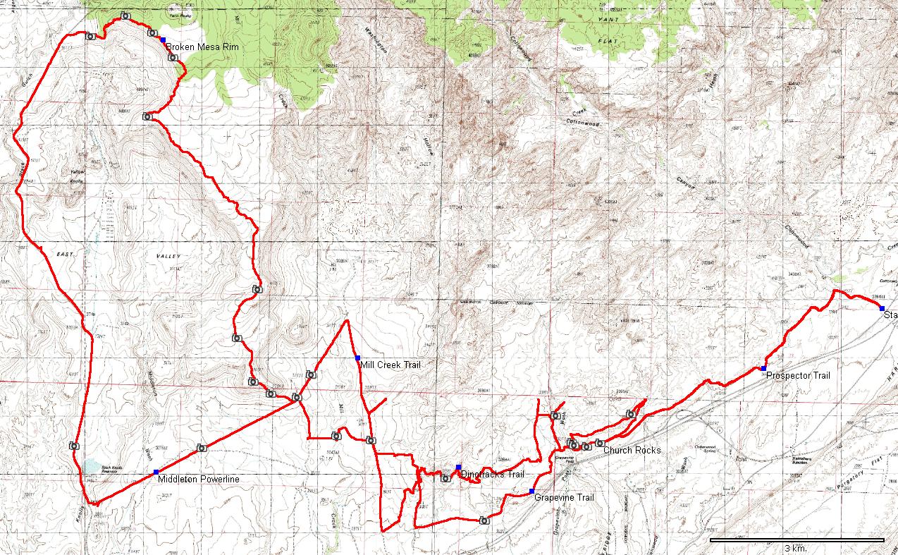
| Description: | Red Cliffs Preserve spreads west of I-15 from Leeds in the north to St. George in the south. There are two good trails in the northern part, Prospector and Church rocks, and one in the southern part, Broken Rim Mesa. My goal of the day was to connect the two into a big loop using other trails in the preserve. The plan sounded good on the paper but what I did not count with was non-existence of several trails and lots of sand between Grapevine and Millcreek Canyons. I started at the Cottonwood Trailhead and rode on Prospector to Church Rocks. Did the loop and climbed on Grapevine in vain search of connector to Dinotracks trail. On a trail that's on the map but not on the sufrace I rode west to a dirt road (Grapevine?) and then down to a trail marked for Dinotracks. This trail was quite primitive and followed a rim for about a mile till it disappeared. I hiked down and up a small canyon and then rode down in the sand to neighboring dirt road. From here I searched connection to Millcreek Road, rode it up and then along the fence west. Trail along the fence that's marked in the map also disappears in half a mile or so, I followed an ATV track and when that turned south, I climbed over the fence and rode an old dirt road to intersect with Middleton Powerline. This relatively rocky doubletrack goes to Turkey Farm road. On that rode I climbed 6 miles to the Broken Mesa Rim trailhead. Missed the initial singletrack and climbed on the dirt road, and then hit the singletrack. The trail has some quite tough spots meandering through the lava boulders. The descent was quite bone rattling, lots of loose rocks, especially the last descent down the rim on Icehouse Trail. Then on the Powerline NE to Millcreek Road. Here I thought on going back on Sand Hill road, but, the hill lives to its name, prospect of walking several miles in the sand was not appealing so I rode Millcreek Road a bit and then climbed up another sandy doubletrack to road about 1/4 mile east that parallels Millcreek Rd. On that down to a new development dirt road that goes along I-15 to Grapevine trailhead (looks like in the near future one can expect a nice paved road for this section of the ride). By this time all was calling home so I just dropped down on Grapevine, and rode Prospector back to the car. What to add? Quite a ride, too bad there's so much sand between Grapevine and Millcreek, the Dinotracks trail could be a nice one if it got some more use, as the sandy section there was quite short. | |
| URL: | TopoFusion Home Page | |
| ||
| ||
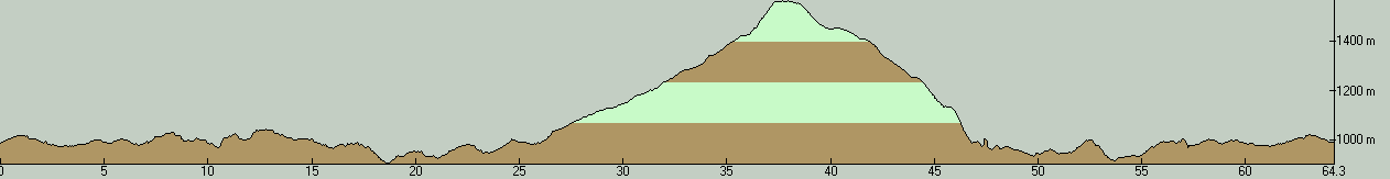
| Total Distance: | 39.94 miles (64.28 km) |
| Total Trip Time: | 6:46:29 (5:37:22 moving time) |
| Total Climbing: | 5716 feet (1742 m) |
| Total Descending: | 5773 feet (1760 m) |
| Average Speed: | 7.10 mph (11.43 kph) |