| Name: | Exploring west of Bloomington | 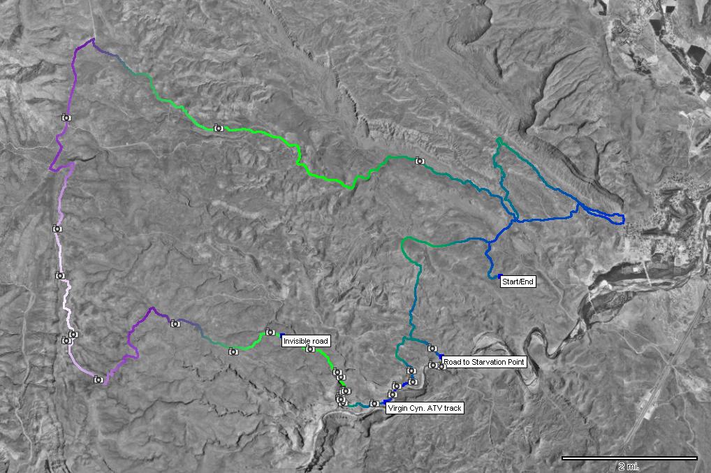
|
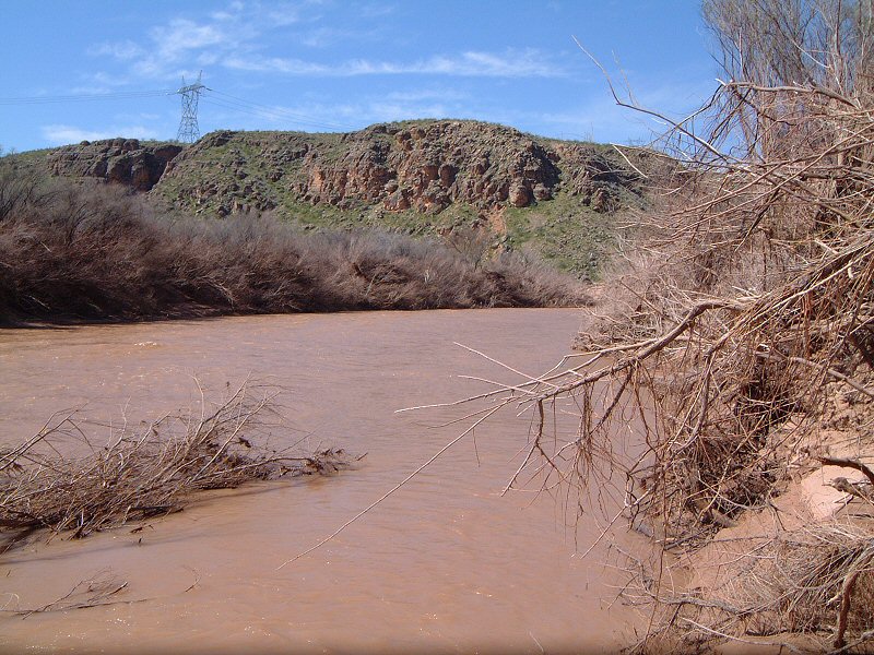
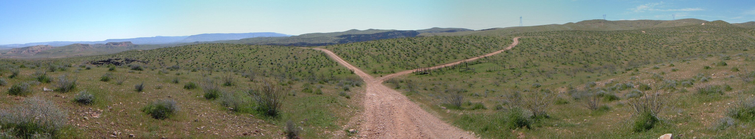
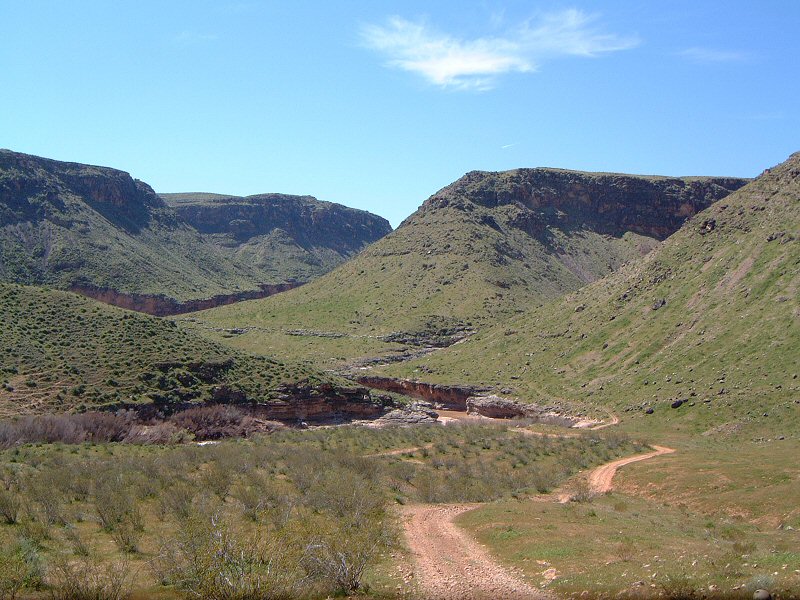
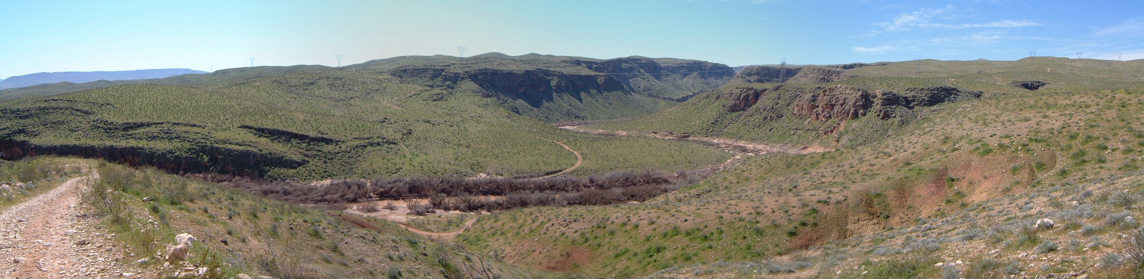
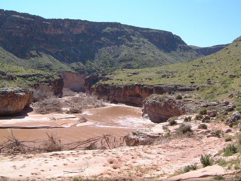
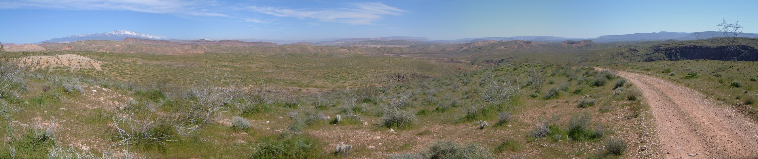
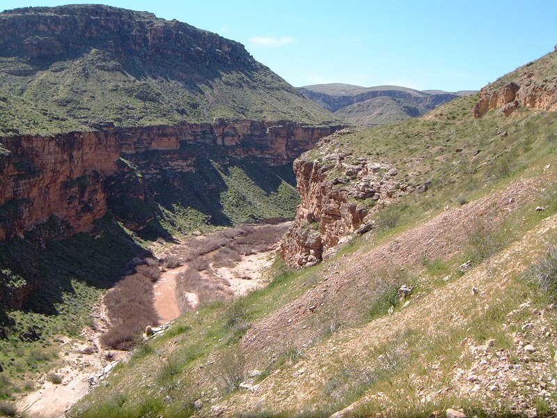
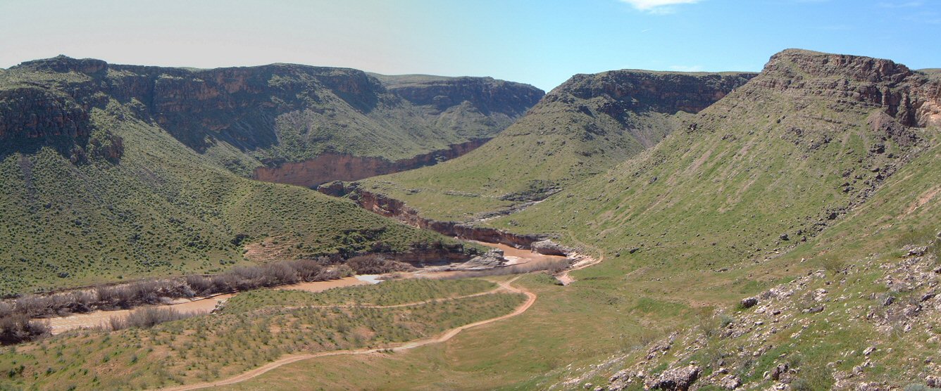
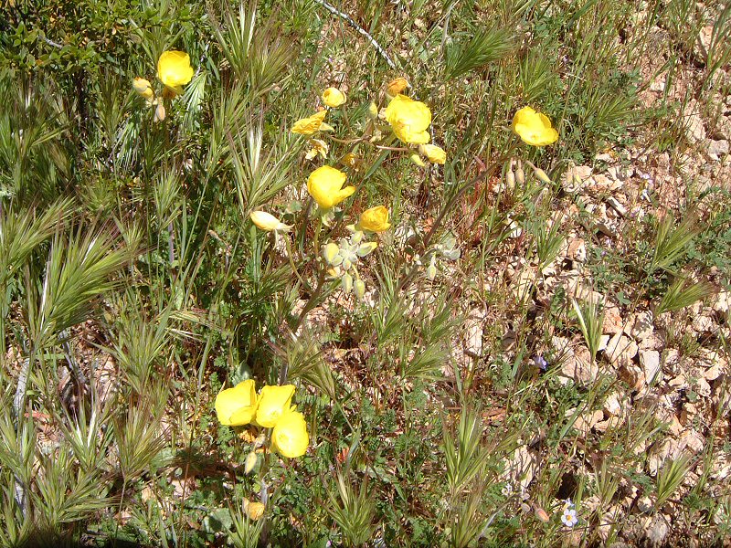
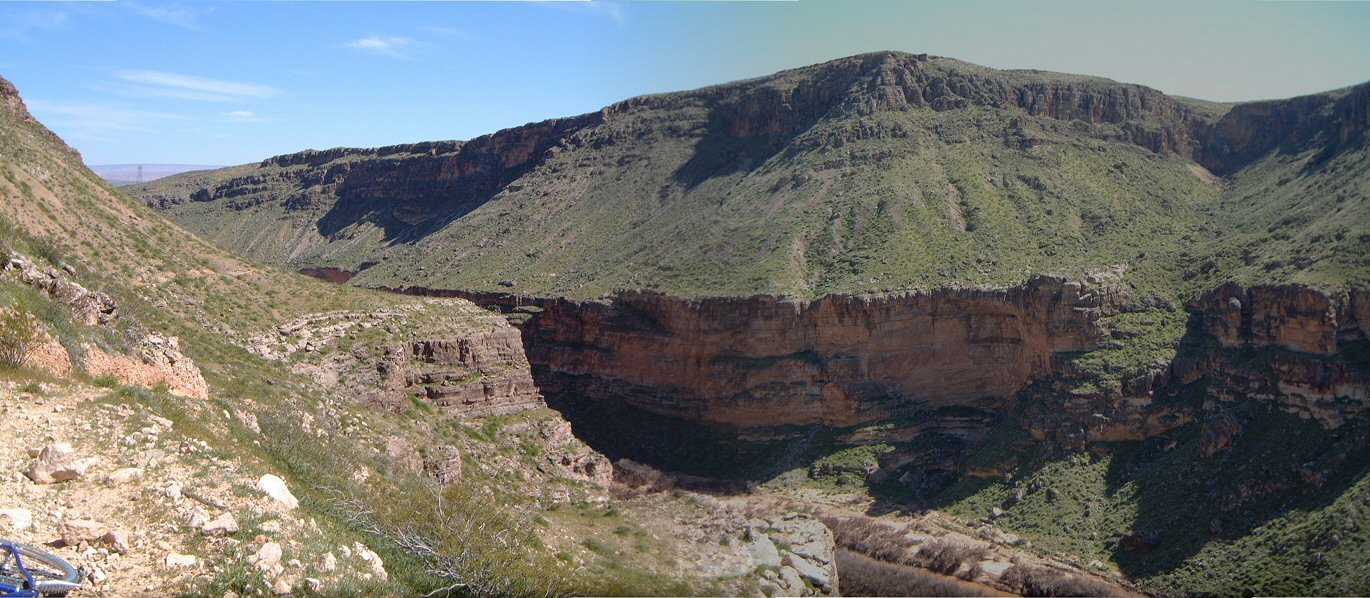
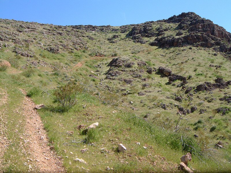
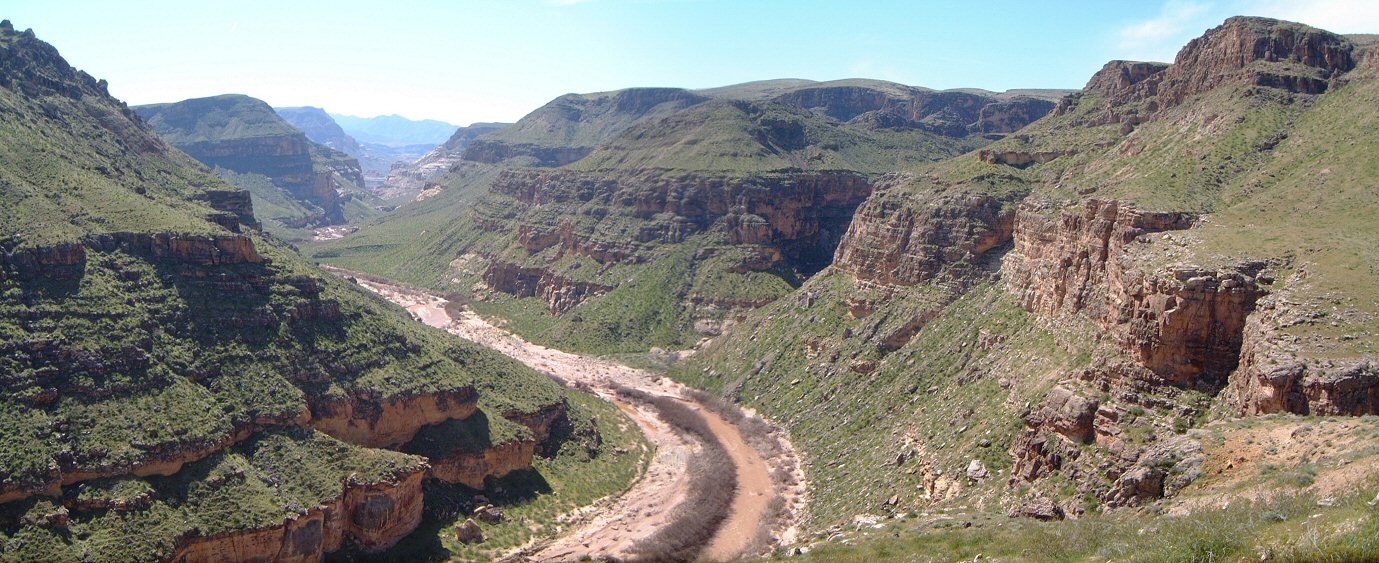
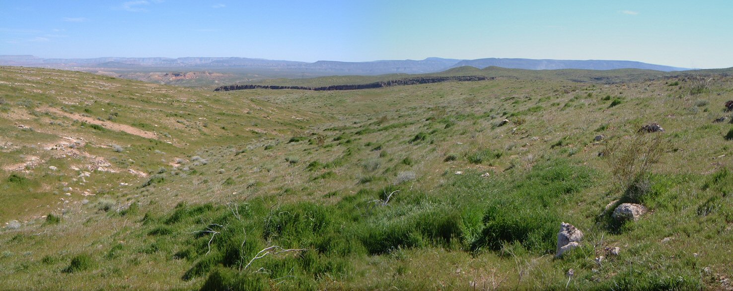
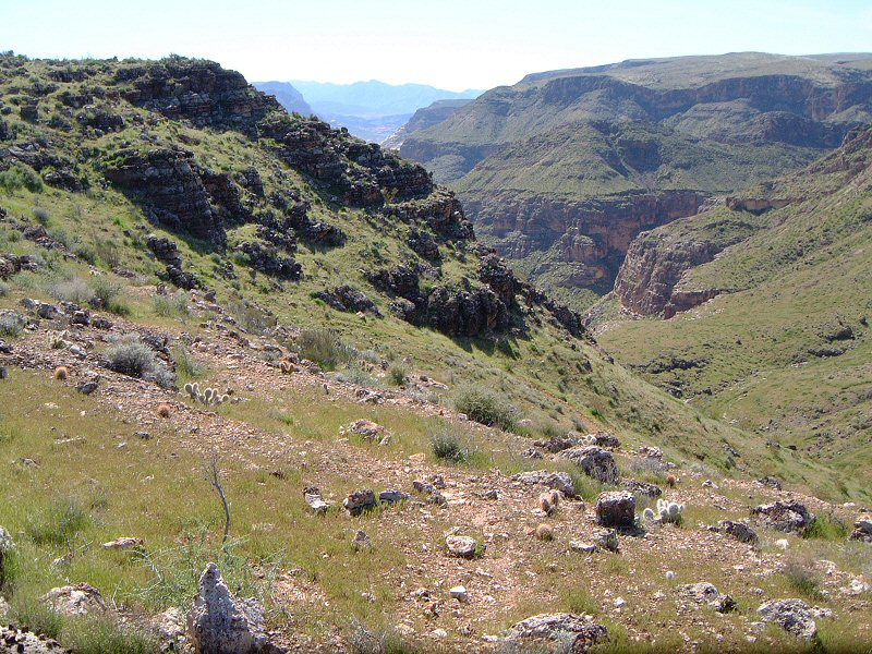
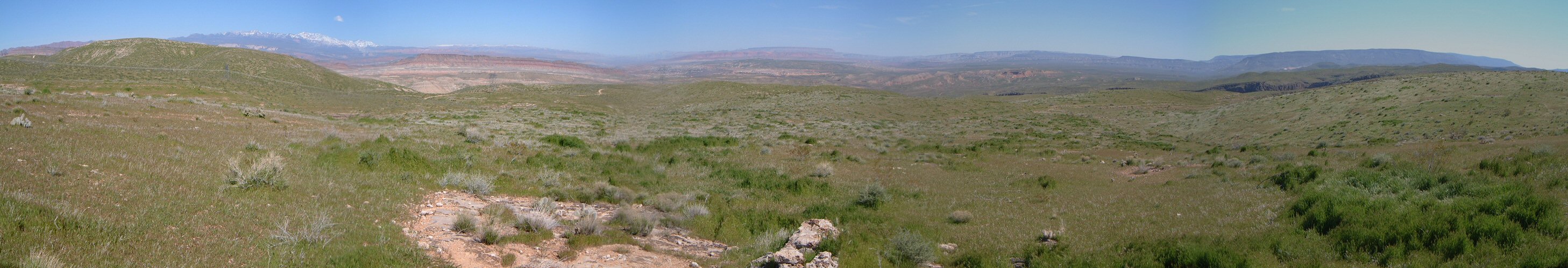
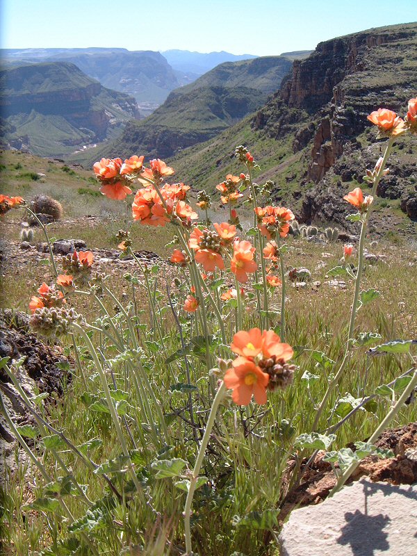
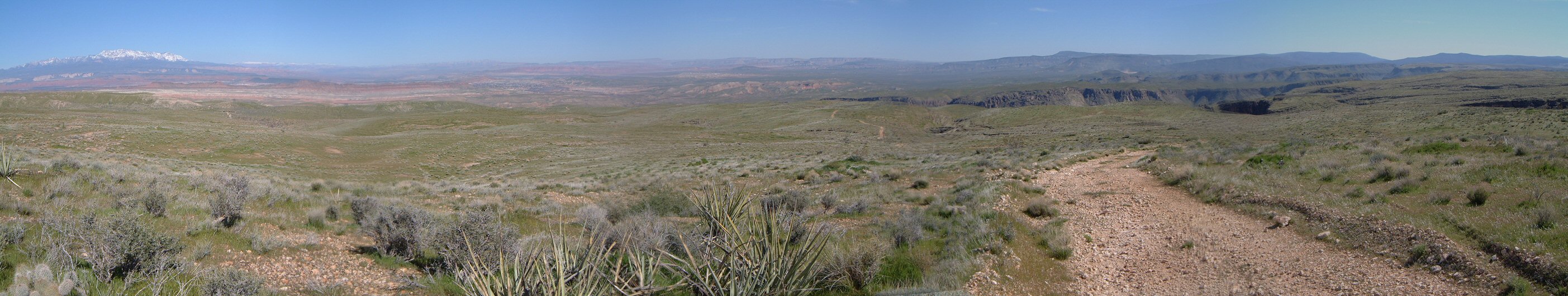
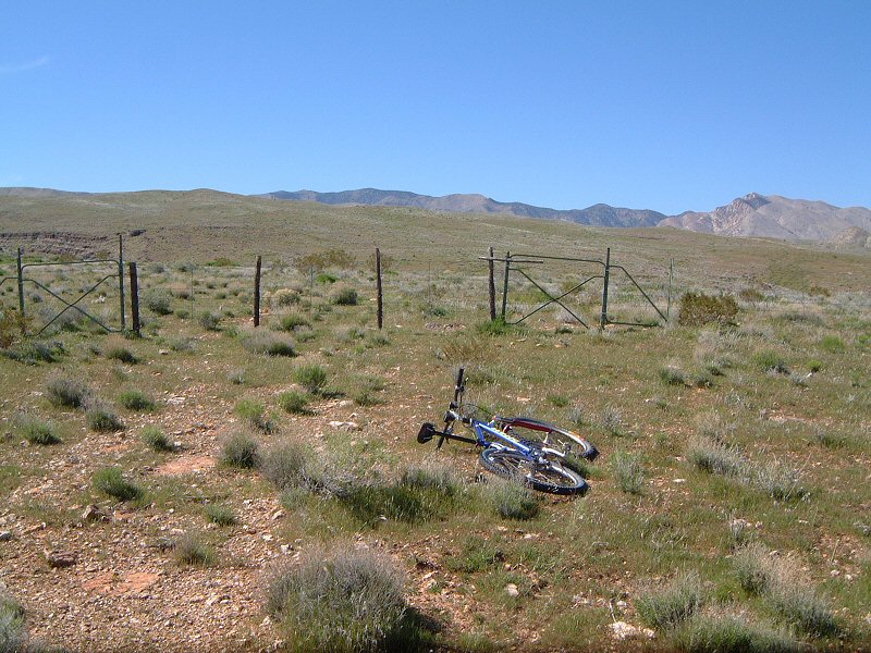
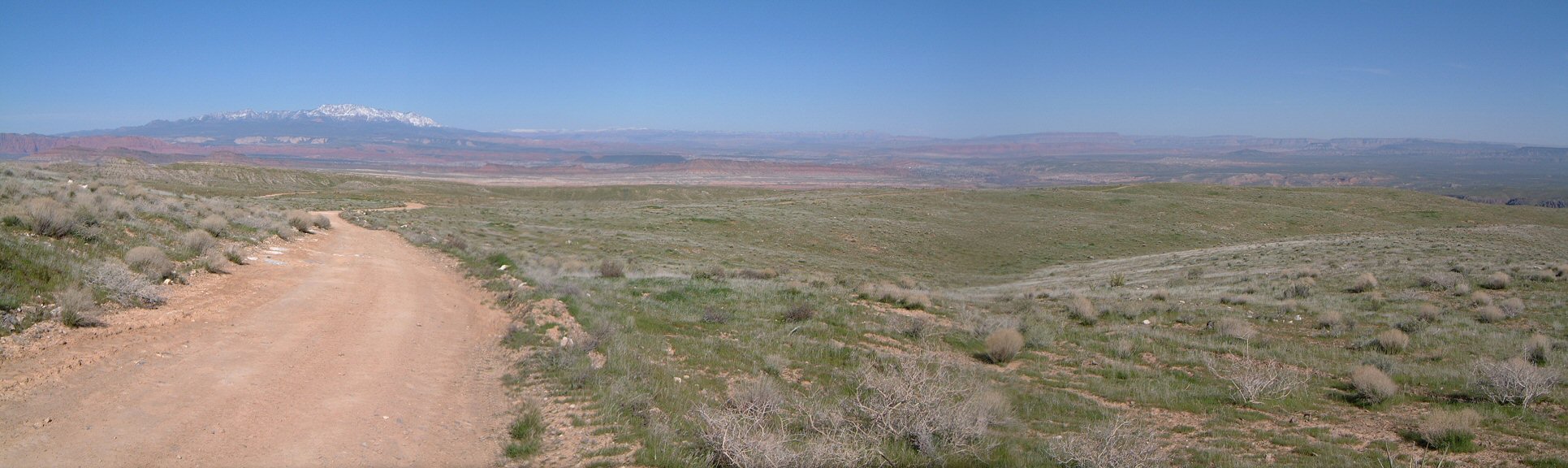
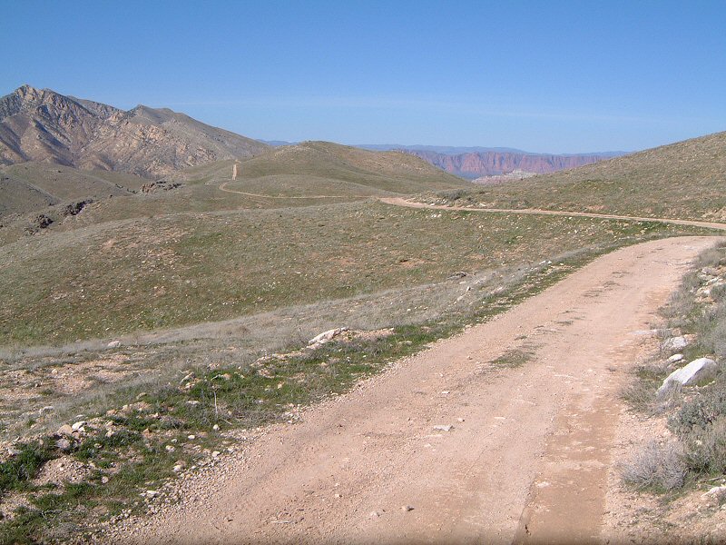
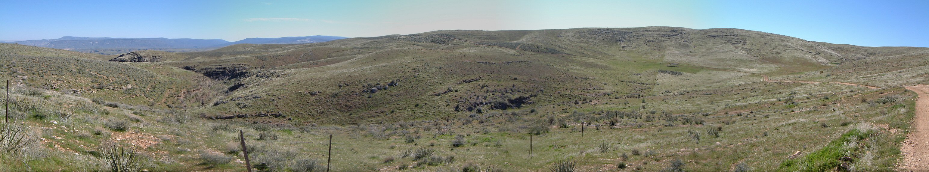
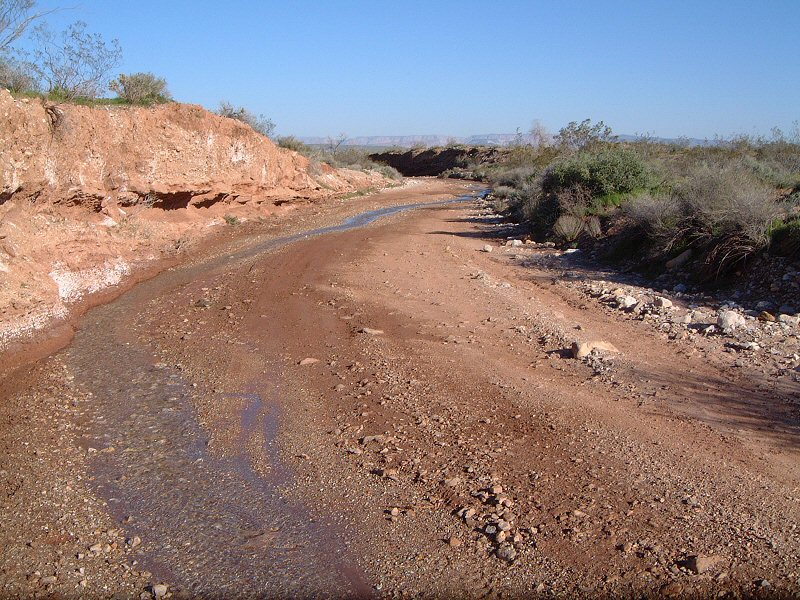
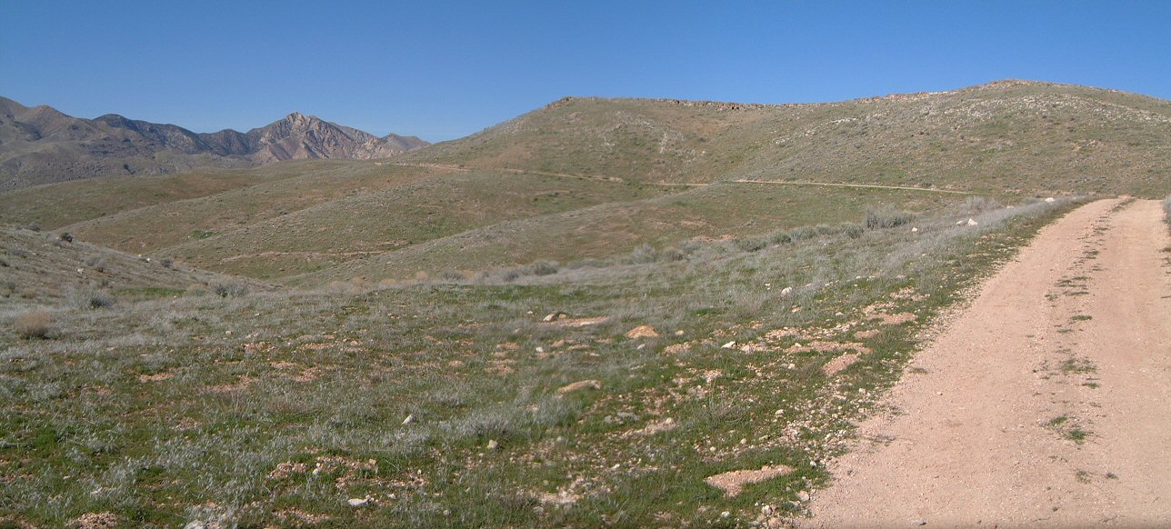
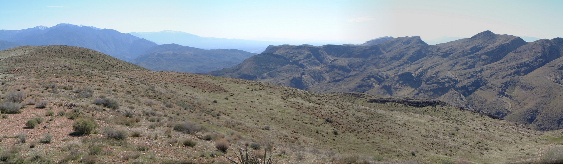
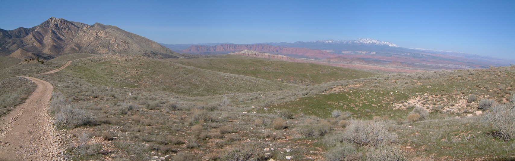
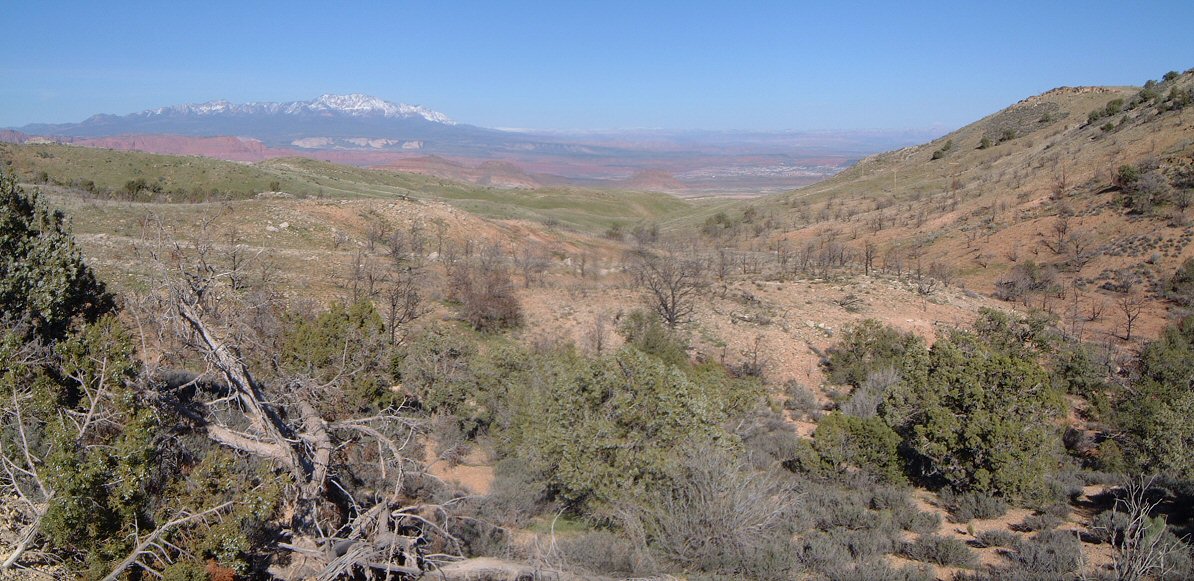
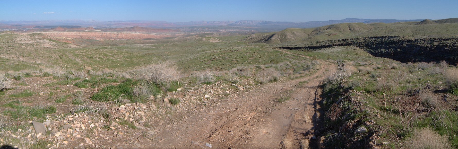
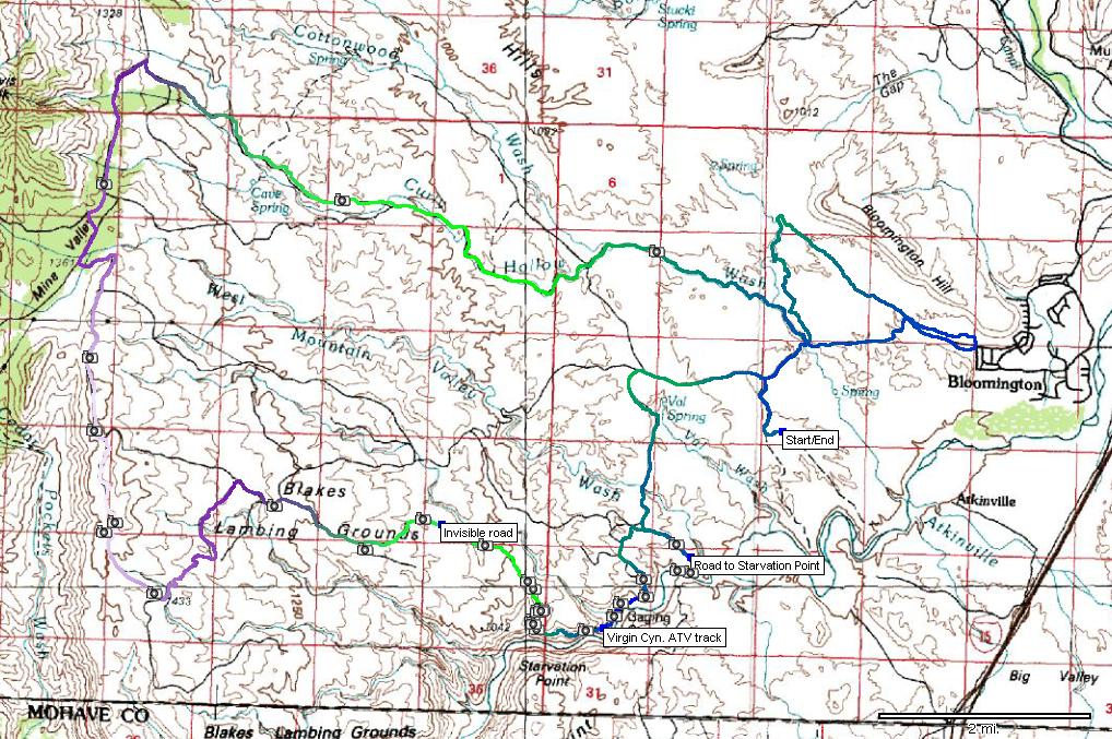
| Description: | I have ridden from the Bloomington trailhead onto the Poppy reserve many times and always wondered what's further west and south of there. So, I looked at the maps and aerial photos in Topofusion and figured out I could do a good loop on the dirt roads in the area. Naturally, things did not go exactly as planned but overall it was a good experience. I camped on a quiet spot off the major dirt roads and rode from there first on a pretty smooth road down to Virgin River. The river was quite full, there was no way to ford it and ride to Starvation Point, overlooking I-15. I climbed back to the bench and rode south another road-turning-to-ATV-track to the river. This ATV track then continues (according to aerial photos and 100k topo map) along the river gorge for about a mile and then climbs up to the bench and NW to a larger dirt road. The ATV track above the canyon was alright, occasionally steep and loose but mostly rideable. Great views of the river canyon. The climb up to the bench was a push. There the ATV track disappeared. I followed the dirt road mark on the GPS for a couple of miles, the road was mostly invisible. Without GPS, I would be all over the place. This invisible road ended up joining with a visible one and with a series of junctions I climbed further west through Blakes Lambing Grounds, which did look ready for lambs. I saw only cows there, though. The roads climbed to about 5000 ft. and then on the way north it kept more-less level for a fast pace and good views. Then a drop to juniper forested Mine Valley and a few miles back turn to rocky doubletrack leading down to Curly Hollow. There was water flowing in this wash which was pretty annoying and made the going slower, especially in the lower parts where the water was mixing with cow shit. I missed the turn north to the Poppy trail so I followed illegal motorcycle trails through the reserve to backtrack to the small canyon with the trail (did not feel like riding up in the shit infested water again). Then a fun smooth singletrack down to Bloomington and quick return on the dirt roads to the campsite. Summary - good exploration. Highlight was the ATV track through Virgin River gorge, climb up the invisible road sucked, as well as the Curly Hollow road (water and lots of rocks). I think a good wussy mini-loop could be up on dirt roads to Blakes Lambing Grounds and then down east to invisible road and though the gorge up. | |
| URL: | TopoFusion Home Page | |
| ||
| ||
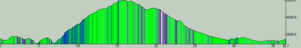
| Total Distance: | 36.66 miles (59.00 km) |
| Total Trip Time: | 6:26:14 (4:43:05 moving time) |
| Total Climbing: | 5510 feet (1679 m) |
| Total Descending: | 5573 feet (1699 m) |
| Average Speed: | 7.77 mph (12.51 kph) |