| Name: | C Trail | 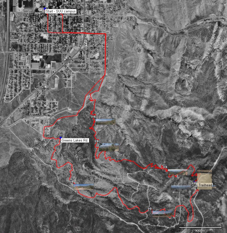
|
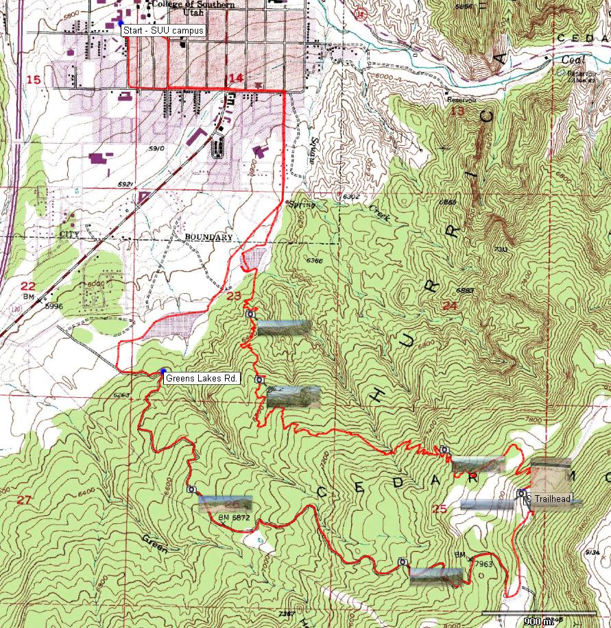
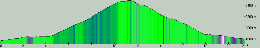
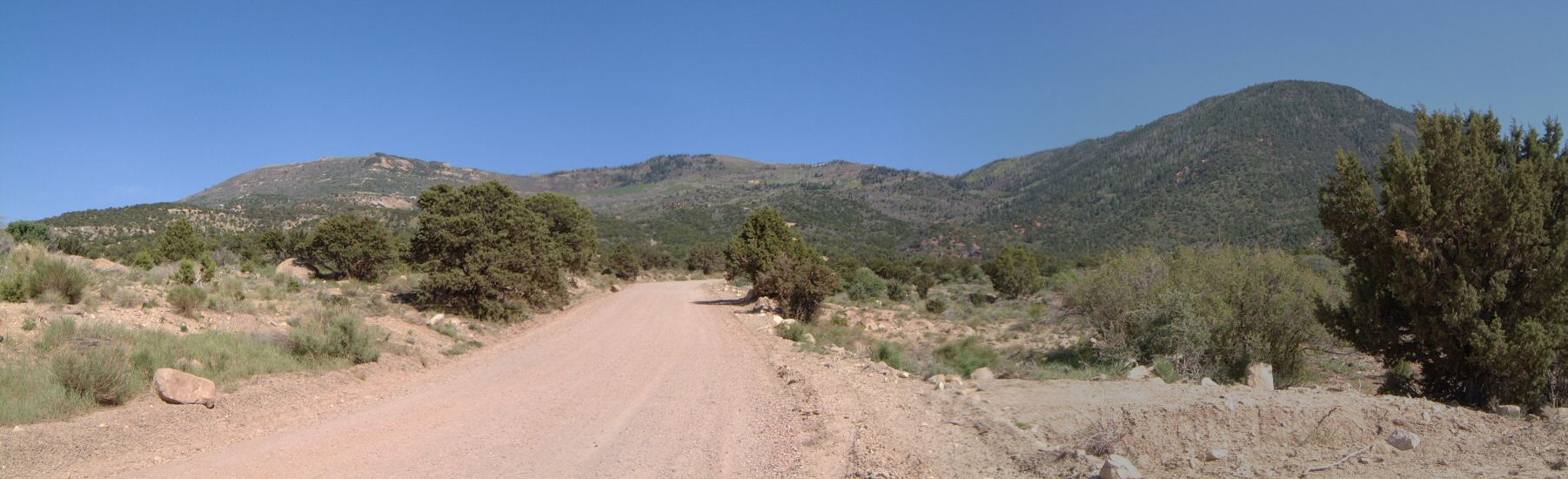
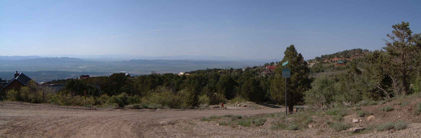
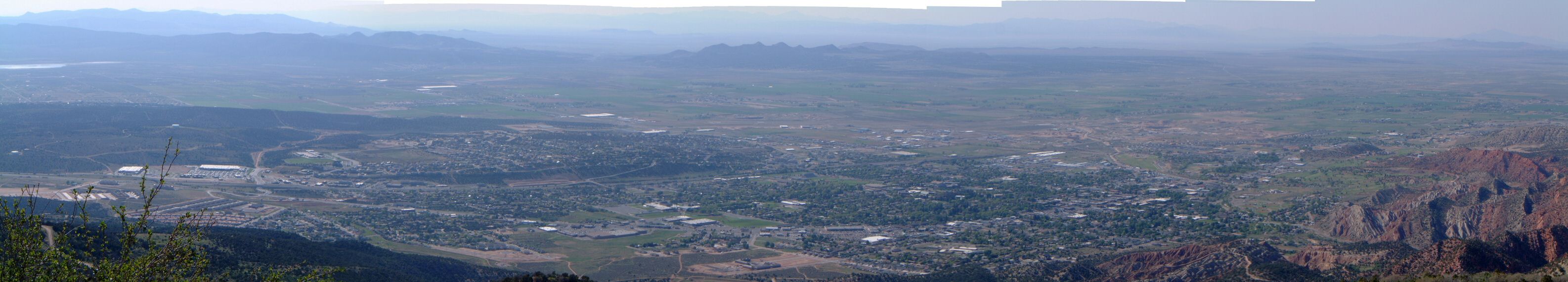
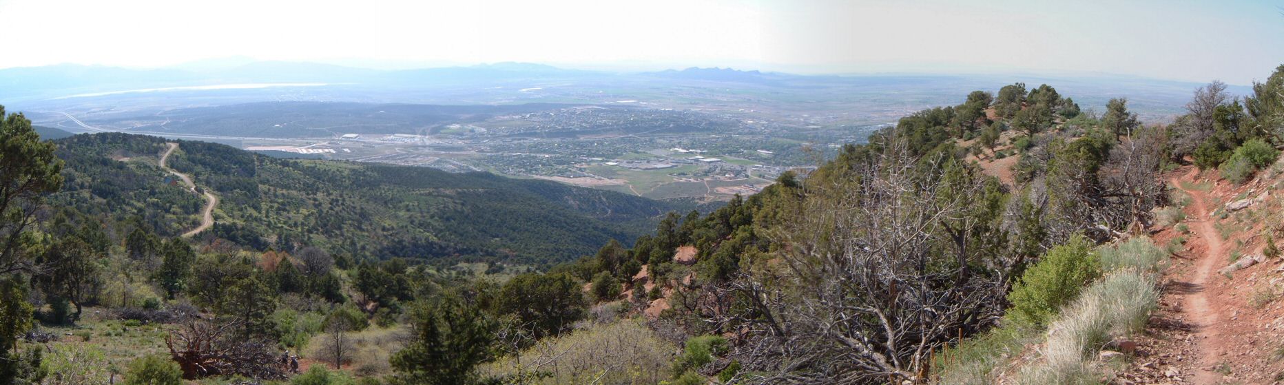
| Description: | C trail is a 2300 ft. downhill off Cedar Mountain to Cedar City. Some people shuttle it, some people loop it via Hwy 14 and Kolob Res. road (paved), some people loop it via Greens Lakes road (gravel). I did the latter. Started at 300 E going south, past water tank and through maze of ATV track staying south till hitting new neighborhood and Greens Lakes Rd. The road starts climbing steeply (ca. 10%) and stays like that till almost the very top, at about 8200 ft. Then it merges with Kolob Res. rd., the trailhead is just across the cattle guard from the junction. The downhill is not super steep, but, some sections have loose rocks which requires some fine handling. Overall, it was pretty good downhill for an x-country rider like me. Next time, I'd probably try to ride it out and back, though, the climb up will be pretty brutal. | |
| URL: | TopoFusion Home Page | |
| ||
| ||
| Total Distance: | 13.34 miles (21.46 km) |
| Total Trip Time: | 2:04:58 (2:04:17 moving time) |
| Total Climbing: | 2804 feet (855 m) |
| Total Descending: | 2545 feet (776 m) |
| Average Speed: | 6.44 mph (10.36 kph) |
 c_tr1s.jpg |
 c_tr2s.jpg |
 c_tr3s.jpg |
 c_tr4s.jpg |
 c_tr5s.jpg |
 c_tr6s.jpg |
 c_tr7s.jpg |
 map.jpg |