| Name: | Pueblo Reservoir - South Canyons | 
|
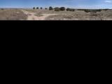
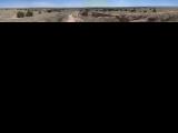
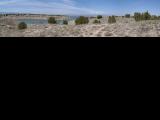
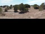
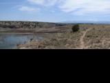
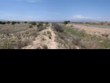
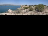
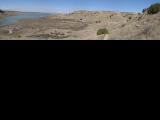
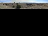
| Description: | Friday was cool in Colorado Springs, so, the plan was to head to Pueblo, which is 1500 ft. lower and thus warmer. The place to go was South Canyons area of Pueblo Reservoir State Park. Group of locals built an impressive singletrack trail system here. A schematic map of the system is here. The map is useful, since the trails are signed so one more-less always knows where he is. As per recommendation read at mtbr.com, I parked at the Red Gate, off Hwy. 96. Other option is to park at the South Shore Marina, but, then I guess one would have to pay state park entry fee. Since I am an XC rider, the plan was to ride two long loops in the western part of the area. I first rode down Rock Canyon, then on South Shore south and up to Pedro's Point trail and Proghorn Trail. From here off to Voodoo, which is a long lolipop shape. Since it's the farthest trail, it's much less travelled, more-less pristine singletrack. It drops to Rock Creek, which was pretty full so I had to rock-hop across it. Then the trail climbs back to the plateau, across a few gulches that were filled to the head with tumbleweeds. This was somewhat annoying. I cleaned the first gulch, but, the few that followed I just waded through with bike on my shoulders. I was probably the first rider there after the series of storms last week that blew the weeds in. Then the trail splits, and one part goes across the plateau to the canyon rim, and then follows the canyon rim / reservoir shore for miles back to the start point. The singletrack was pretty raw, twisty, with occasional bypasses of tumbleweed filled gulches, so, the progress was relatively slow. Still, it was exploratory riding at its best. Then back down to Rock Creek, up to the plateau again, and north on Outer Limits trail, that follows another set of reservoir rim. This trail is more travelled so it was smoother and faster. I returned back on Pedro's Point trail, which is basically an old doubletrack. Then I went down Waterfall trail, which top part was filled with tumbleweed again, and as such not that great. I was not ready to get wasted on the first day of the trip, so, for the rest of the ride, I figured I'll just ride a loop of the most frequented easternmost area. First rode north on Southshore trail, then onto Conduit, and The Duke. I mistakenly took Steep Tech up, which is basically stairs up to the mesa, which means I walked it up. Then I took Rollecoaster almost back to the Red Gate. This trail was a lots of ups and downs the small gulches that go down to the main side canyons. There are bunch of harder trails going down these canyons, which I'll need to check out some other time. | |
| URL: | TopoFusion Home Page | |

| ||

| ||
| Total Distance: | 23.73 miles (38.20 km) |
| Total Trip Time: | 4:02:33 (3:19:35 moving time) |
| Total Climbing: | 2675 feet (815 m) |
| Total Descending: | 2460 feet (750 m) |
| Average Speed: | 7.13 mph (11.48 kph) |
