| Name: | Exploring - Pruzkum Robbers Roost flats | 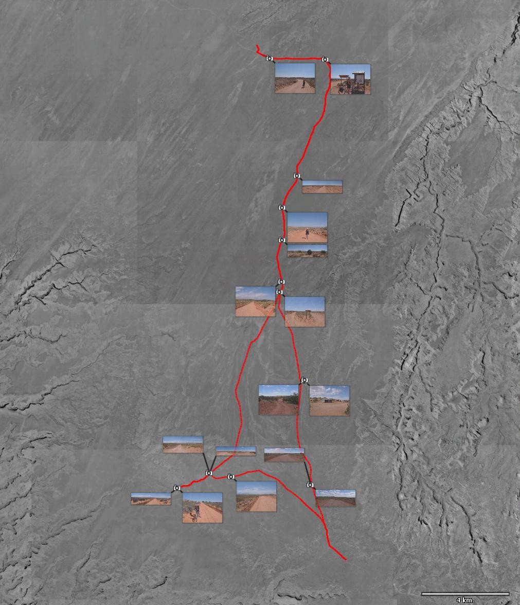
|
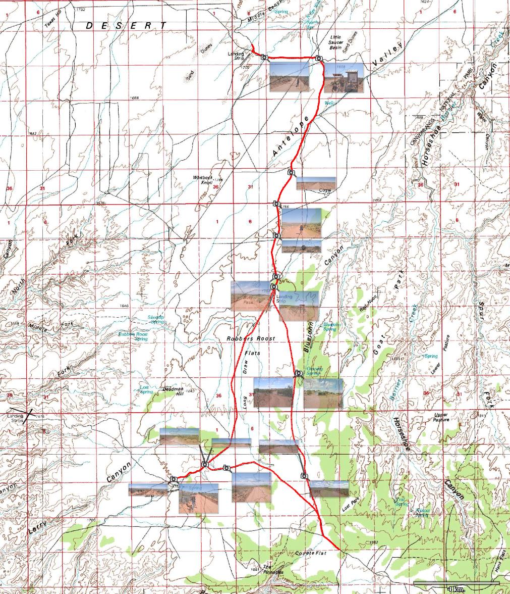
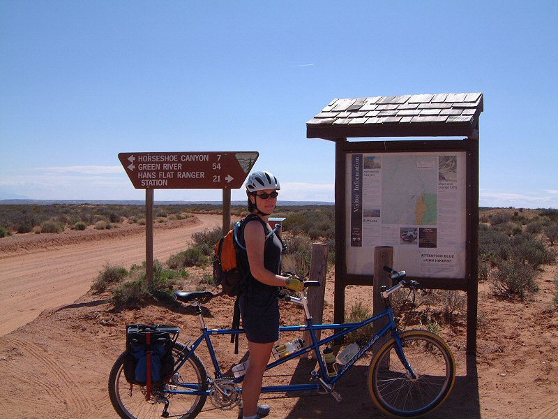
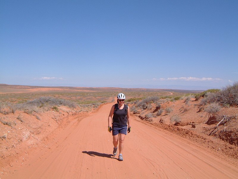
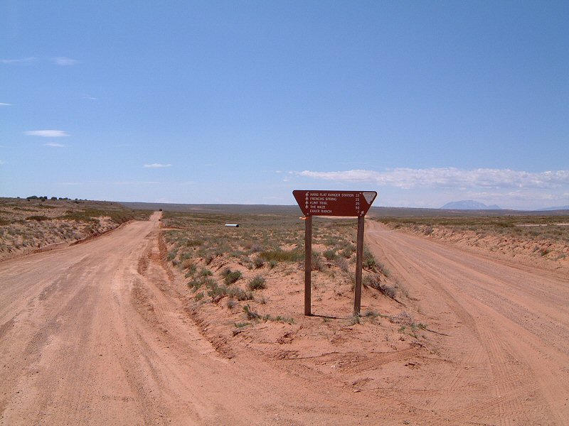
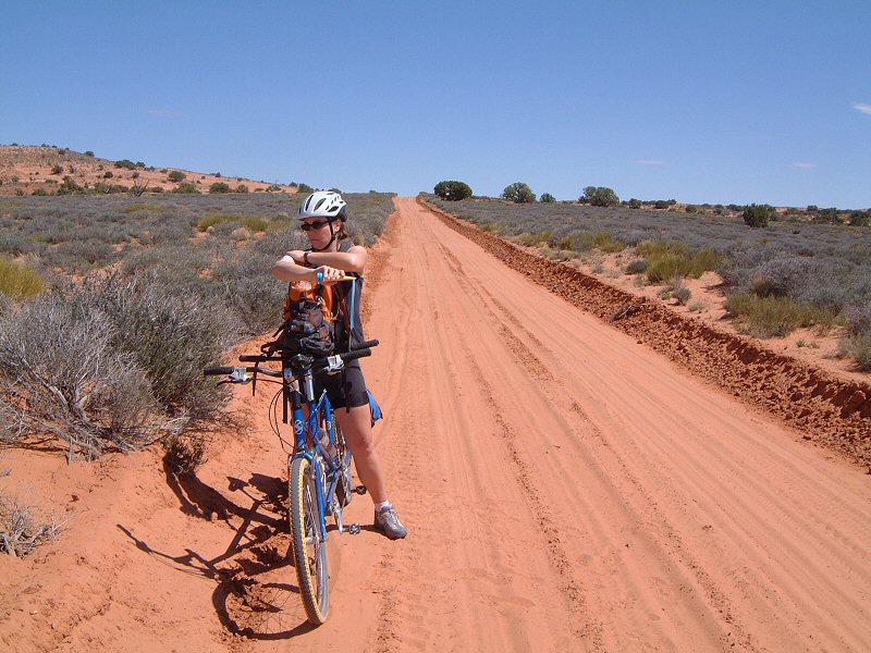
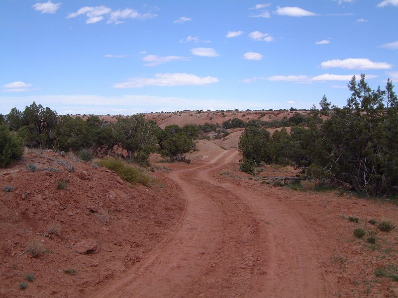
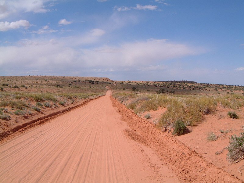
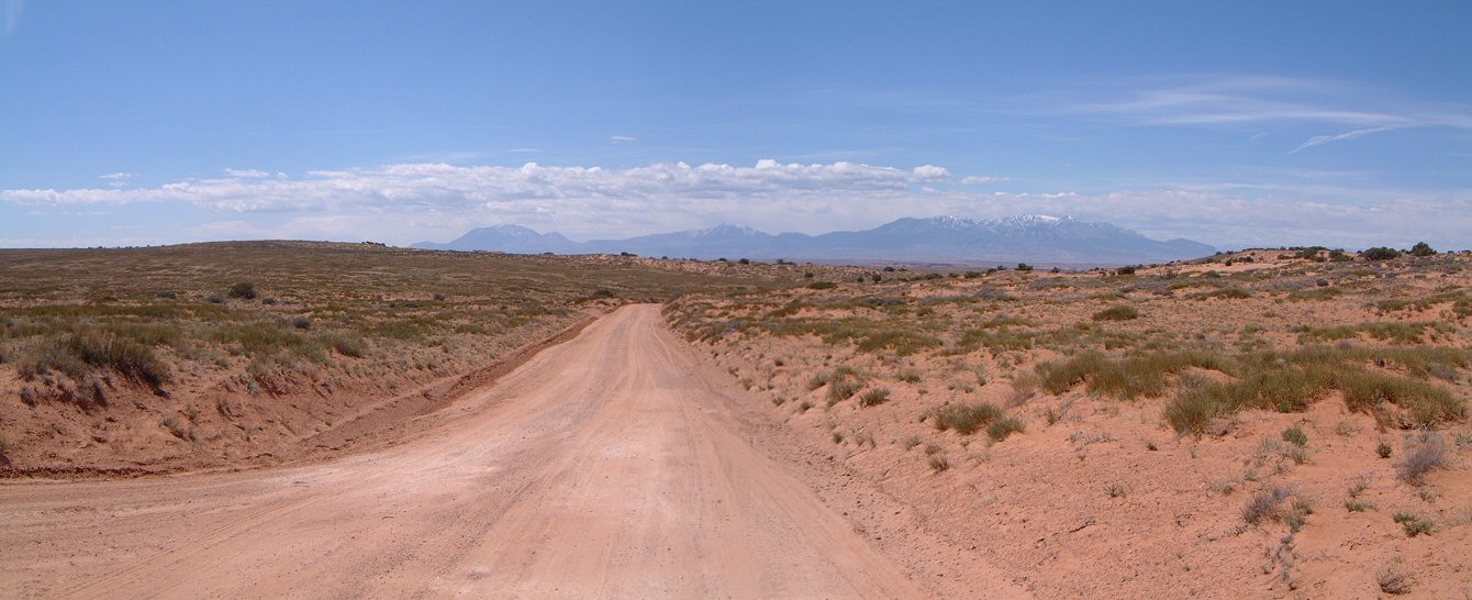
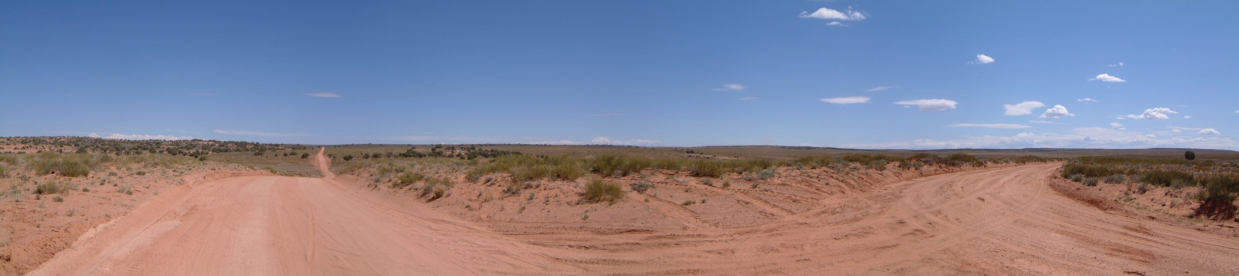
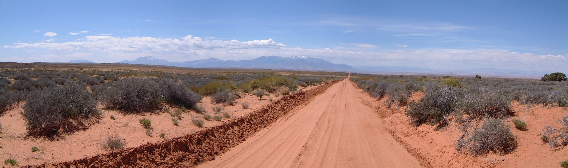
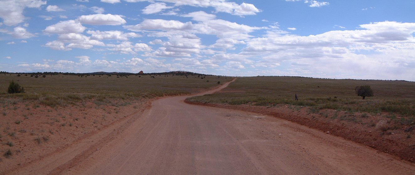
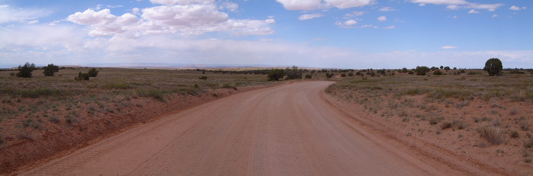
| Description: | Another weekend of exploratory tandeming. This time in San Rafael Desert, a swath of land between towns of Green River and Hanksville in southeastern Utah. The plan was to ride two loops, one each day, going from the main road that goes from Hwy 24 to Maze district of Canyonlands south towards Dirty Devil River. First surprise was that on the place that I picked for camping was a ranch. Also, the road that I wanted to ride both days was really sandy. Time for plan B. Drive further on, find a decent spot for camping and from there ride the main dirt road and possible spurs. We found a semi-decent spot to camp off a dirt road that was on the map, but, not much in reality. From here, we set off for a ride. We went on the "main" dirt road towards the Maze. Although the road was relatively major for the area, it was not in that great of a shape, there was lots of sandy spots. Most were not too deep, but, we had to walk some, and, the others required fine ballancing, which is more tricky on the tandem. We made a litlle loop through Roost Flats, the roads in this area were not that sandy. Then tried to continue towards Angel Point, but, the road quickly became very sandy, so, we turned around. Same thing on the way towards the Maze ranger station. There were too many sand traps to make the ride enjoyable. So, we turned around and ride back to the camp. At the camp, I realized that I took the wrong sleeping bag bag - with only one bag, not two for both of us. So, we had to improvise, fortunately, it was not too cold overnight. Dal�� v�kend pr�zkumu utahsk�ch pou�t� na tandemu. Tentokr�t v�pou�ti San Rafael mezi m�sty Green River a Hanksville v�jihov�chodn�m Utahu. Pl�n byl projet dva okruhy, poka�d� ��ste�n� po pra�n� silnici co vede z�Hwy. 24 k�oblasti Maze Canyonlands NP, a pak na jih k�Dirty Devil River. Prvn�m p�ekvapen�m byl ran� na m�st� kde jsem cht�l stanovat. Druh�m byl stav povrchu silnice na jih - bylo tam hodn� p�sku tak�e se po n� na kole nedalo moc jet. �as na zm�nu pl�nu - pokra�ovat po hlavn� silnici d�l, naj�t m�sto na span� a pak po n� jet d�l kam to p�jde. M�sto jsme na�li pod�l bo�n� silnice, kter� byla na map�, ale ne moc ve skute�nosti. Odtud jsme vyjeli na kole. Ani kvalita hlavn� pra�n� cesty nebyla nic moc, m�sty byl taky p�sek, ob�as jsme se zabo�ili, ob�as to vyman�vrovali, co� je na tandemu trochu slo�it�j��. Kolem Robbers Roost flats jsme ud�lali men�� okruh ? povrch silnice tady nebyl tak p�s�it�. Pokusili jsme se pokra�ovat k�Angels Point, ale silnice byla brzo sam� p�sek, tak jsme to oto�ili. To sam� ve sm�ru k�Maze Ranger Station. Tak jsme to oto�ili a jeli zp�tky. U stanu jsem zjistil, �e jsem vzal �patn� pytel of spac�ku, tak�e jsme m�sto dvou spac�k� m�li jen jeden. Na�t�st� p�es noc nebyla moc zima. | |
| URL: | TopoFusion Home Page | |
| ||
| ||
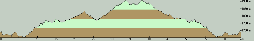
| Total Distance: | 40.14 miles (64.59 km) |
| Total Trip Time: | 6:01:55 (5:52:59 moving time) |
| Total Climbing: | 2913 feet (888 m) |
| Total Descending: | 2892 feet (882 m) |
| Average Speed: | 6.82 mph (10.98 kph) |
 roost01.jpg |
 roost02.jpg |
 roost03.jpg |
 roost04.jpg |
 roost05.jpg |
 roost06.jpg |
 roost07.jpg |
 roost08.jpg |
 roost09.jpg |
 roost1s.jpg |
 roost2s.jpg |
 roost3s.jpg |
 roost4s.jpg |
 roost5s.jpg |
 roost6s.jpg |
 roost7s.jpg |
![[evening1.jpg]](evening1.jpg) evening1.jpg 110646 bytes 800 x 600 |
![[evening2.jpg]](evening2.jpg) evening2.jpg 103386 bytes 800 x 600 |
![[evening3.jpg]](evening3.jpg) evening3.jpg 103883 bytes 600 x 800 |
![[evening4.jpg]](evening4.jpg) evening4.jpg 96740 bytes 600 x 800 |