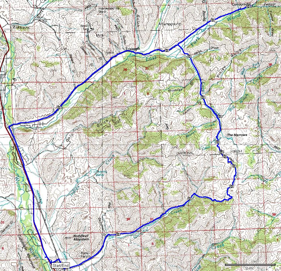
| Name: | East Fork Wood River loop | 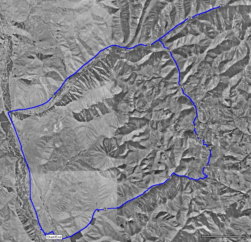
|
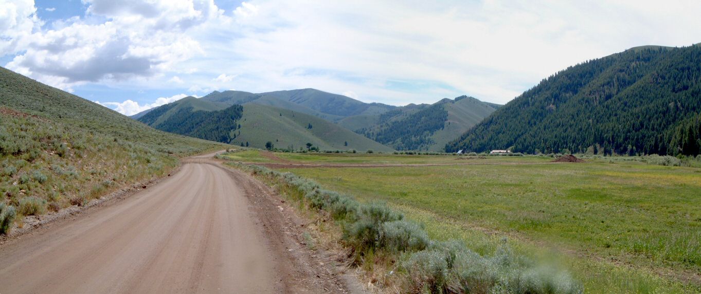
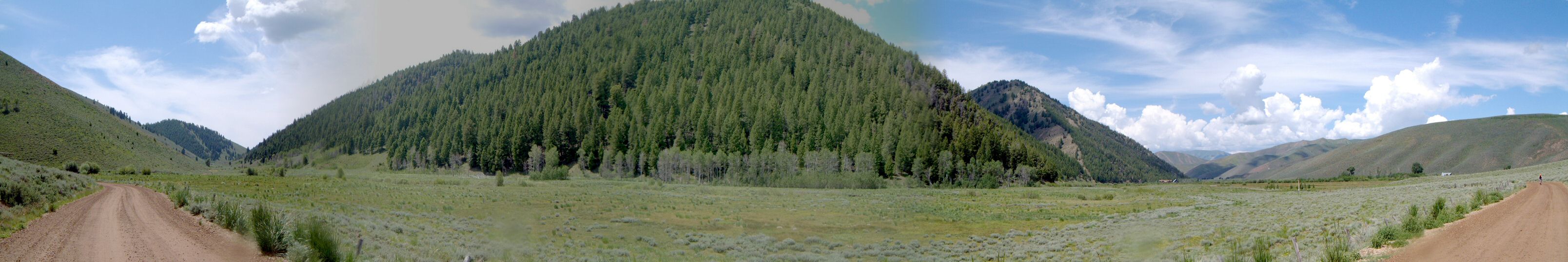
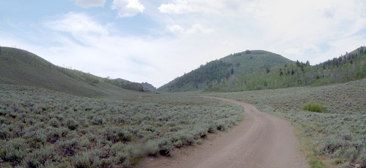
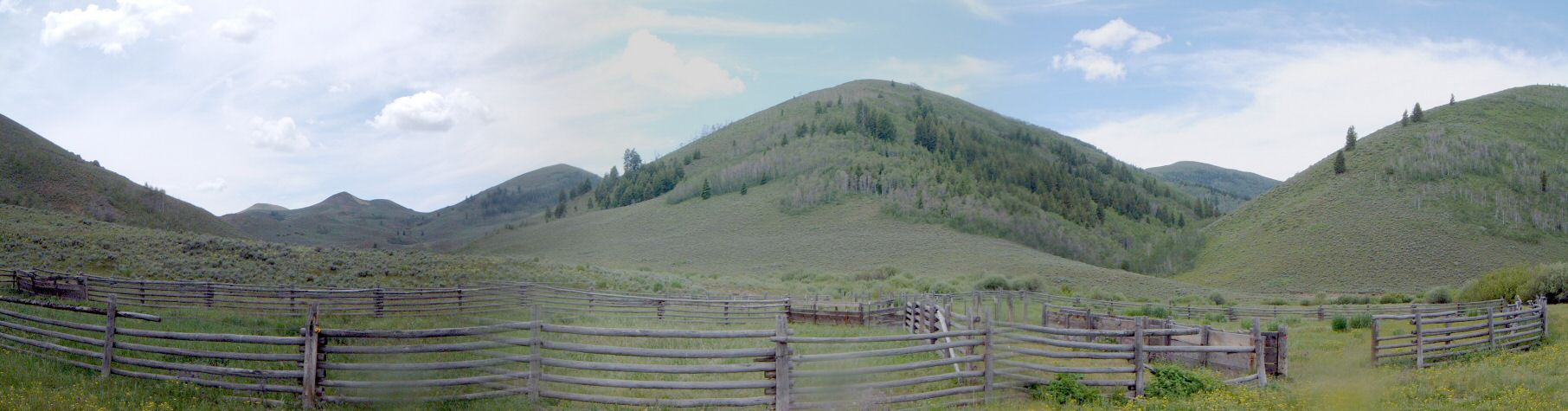
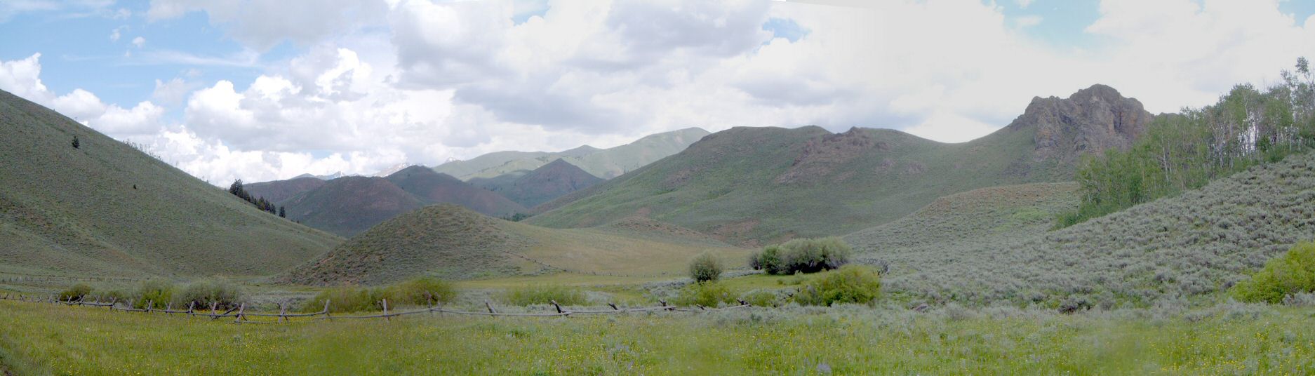
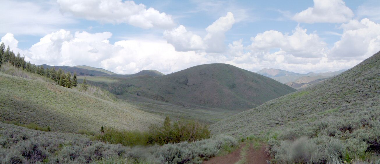
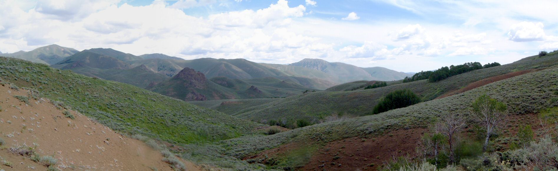
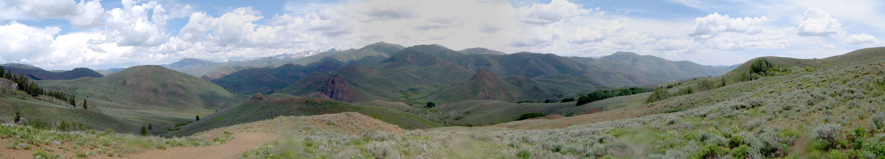
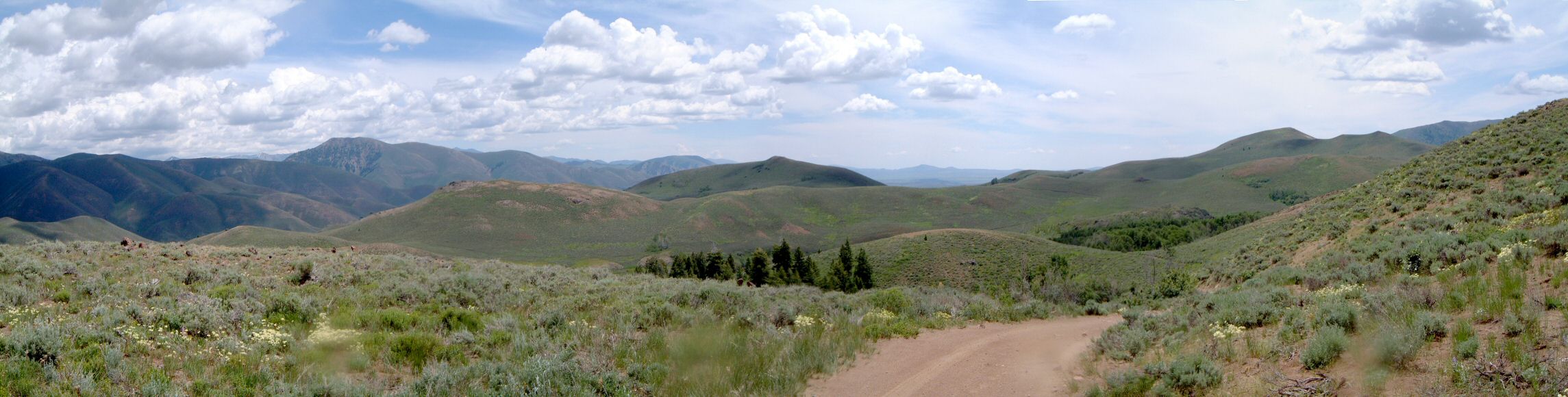
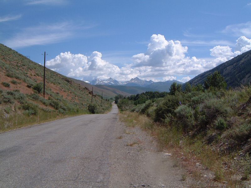
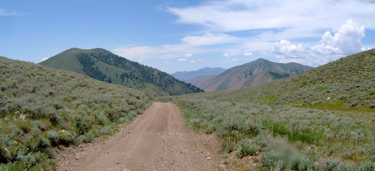
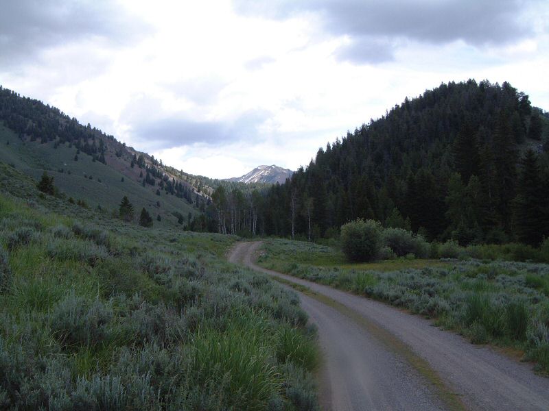
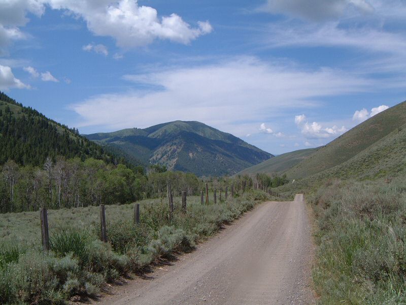
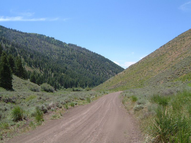
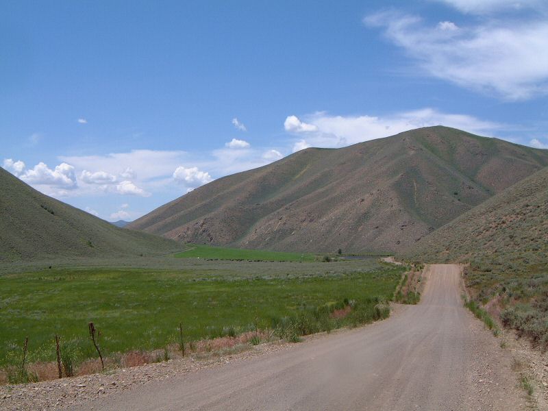
| Description: | A backup ride after Greenhorn Gulch area turned up to be very muddy following afternoon and night's rains. It did not seem to rain very much east of Big Wood valley. Started at a car wash in Hailey, where I washed the bike. Rode up Hwy 75 and then hopping on the Wood River Trail, which parallels the highway. Then up East Fork, went too far and realized that only after hitting two NFS campgrounds in the foothills of Pioneer Mountains. Rode back to Cave Creek Fork, and up that on a road that eventually dwindled into loose doubletrack rising steeply. Followed a couple of ups and downs on the high hills and critical turnoff uphill to Quigley Creek, going left and down would mean going down Slaughterhouse Creek and end up in Bellevue. This probably would have been better since the ride down Quigley Cyn. was quite rocky and I went against strong headwind. In any case, a decent ride when options were short. | |
| URL: | TopoFusion Home Page | |
| ||
| Trip Length: | 37.69 miles (60.64 km) |
| Total Trip Time: | 3:20:01 (2:58:11 moving time) |
| Total Climbing: | 3277 feet (999 m) |
| Total Descending: | 3886 feet (1184 m) |
| Average Speed: | 12.69 mph (20.42 kph) |
 east_f01s.jpg |
 east_f02s.jpg |
 east_f03s.jpg |
 east_f04s.jpg |
 east_f05s.jpg |
 east_f06s.jpg |
 east_f07s.jpg |
 east_f08s.jpg |
 east_f09s.jpg |
 east_f1.jpg |
 east_f10s.jpg |
 east_f2.jpg |
 east_f3.jpg |
 east_f4.jpg |
 east_f5.jpg |