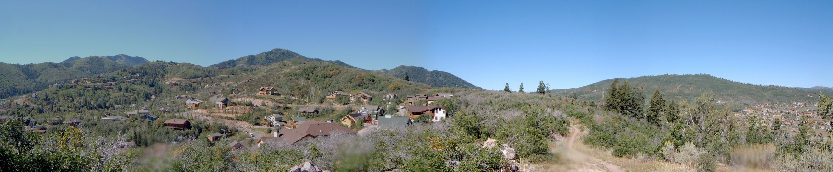
| Description: | An epic that came to my mind after finding out that the Mid-Mountain trail connects to the Pinebrook area trails south of I-80.
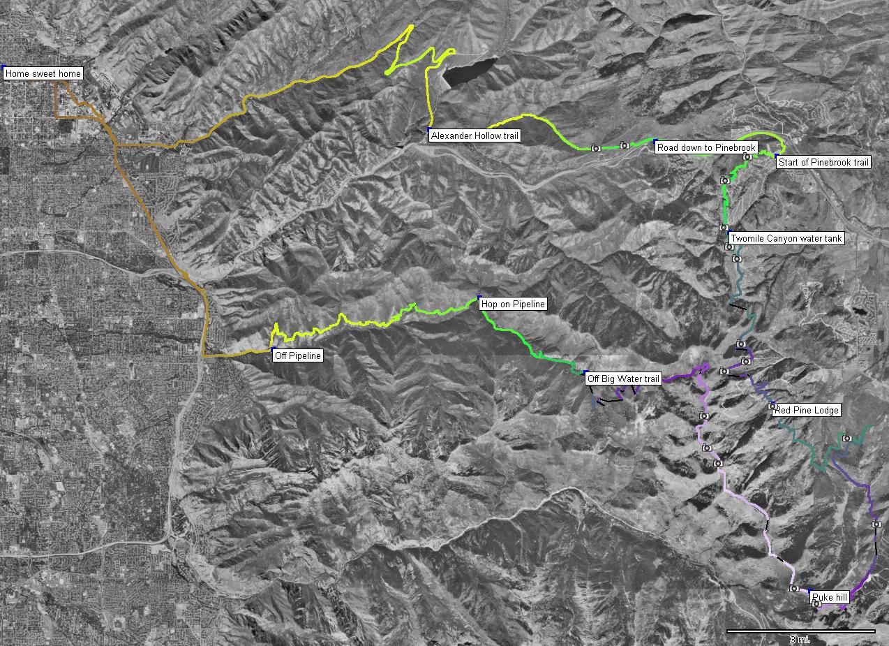
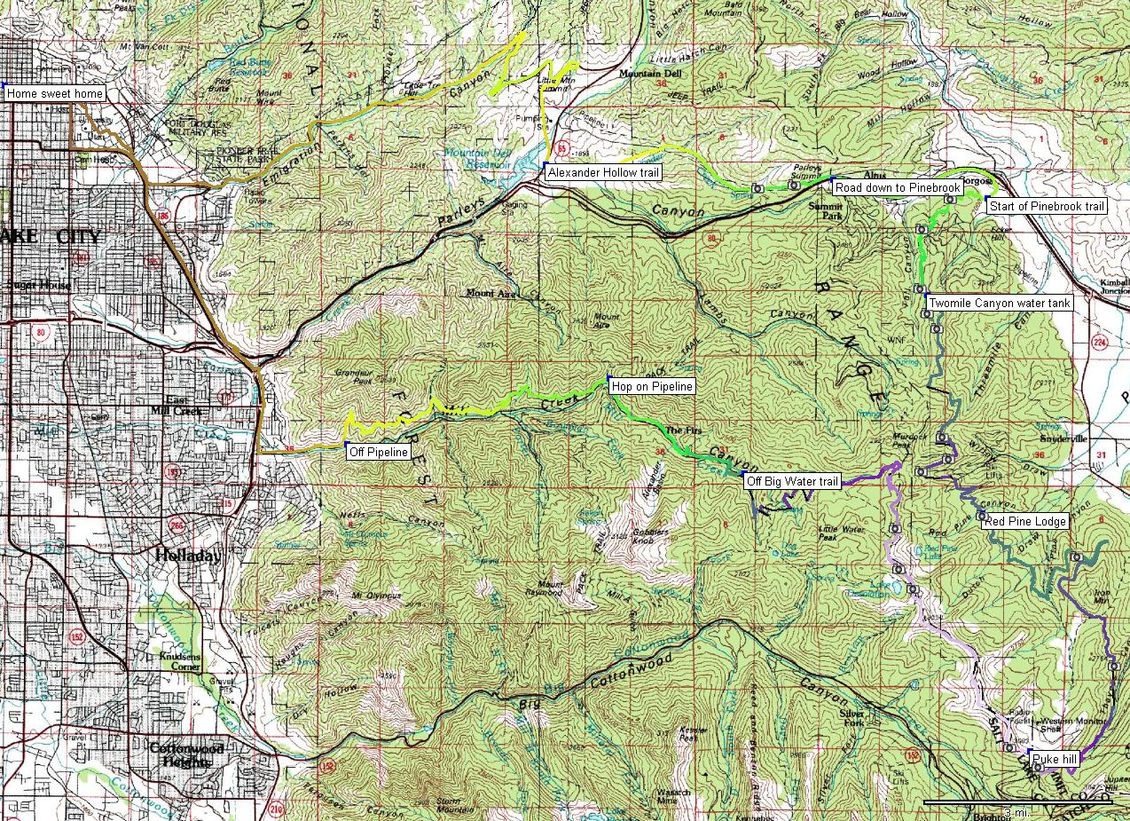
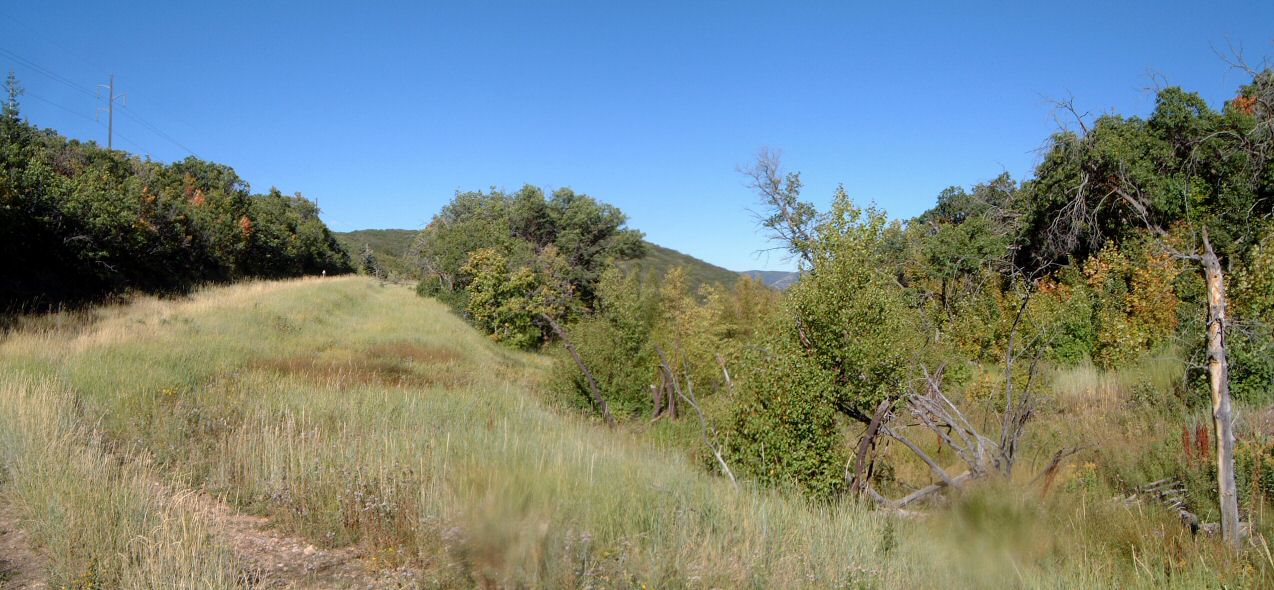
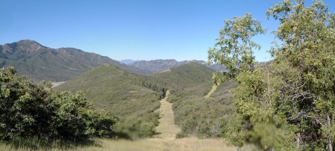
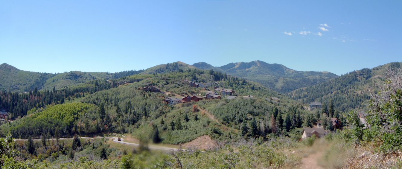
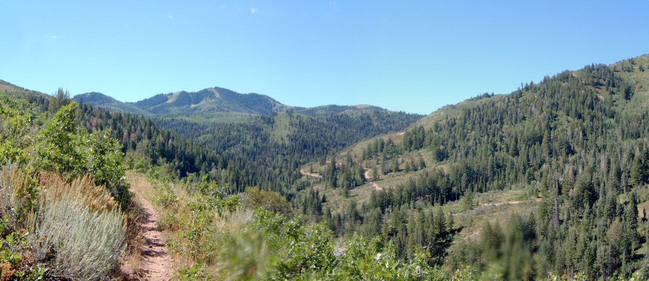
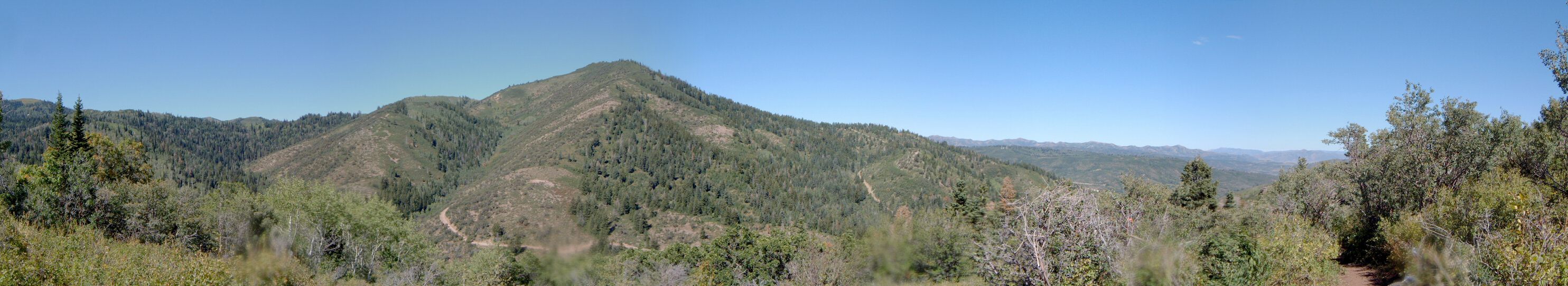
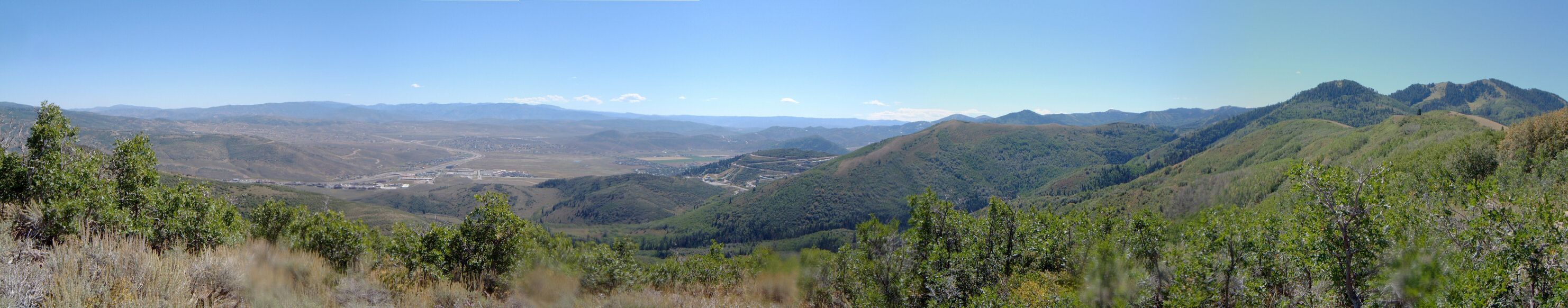
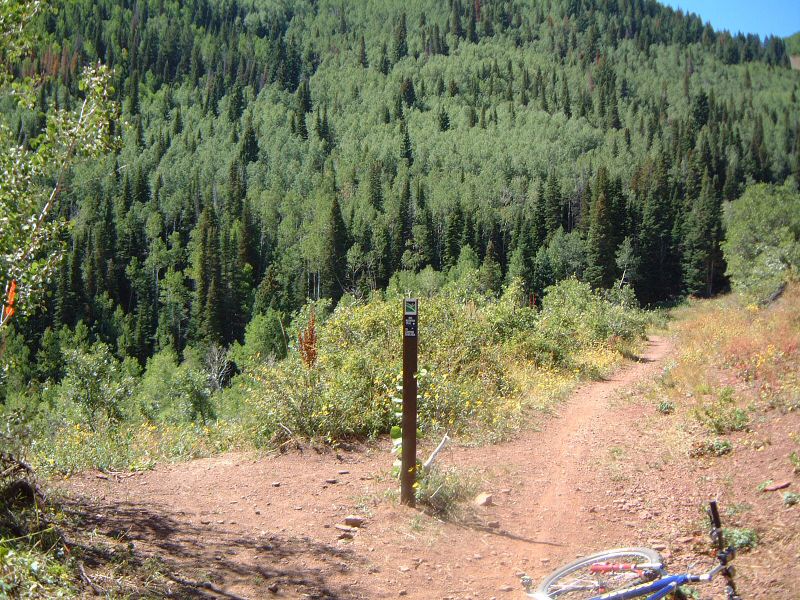
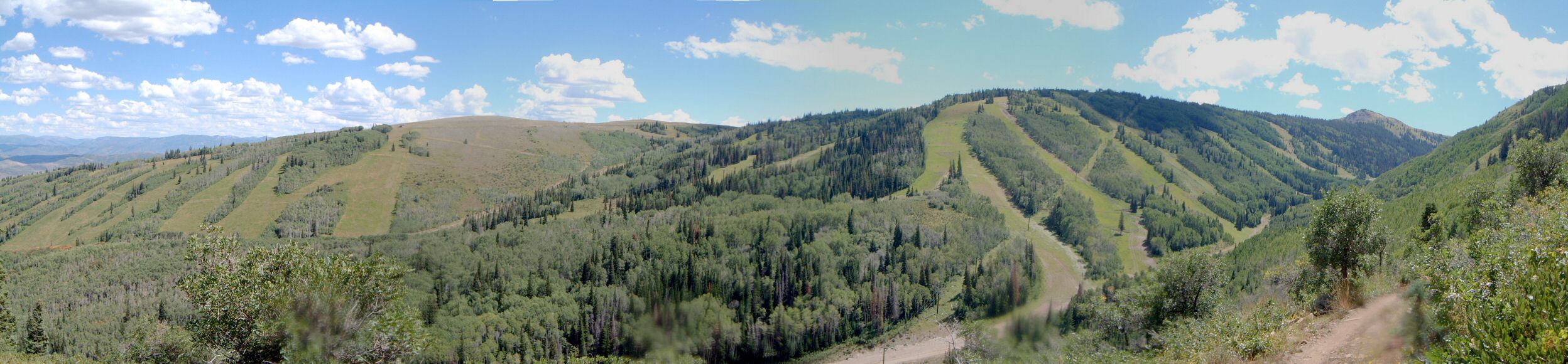
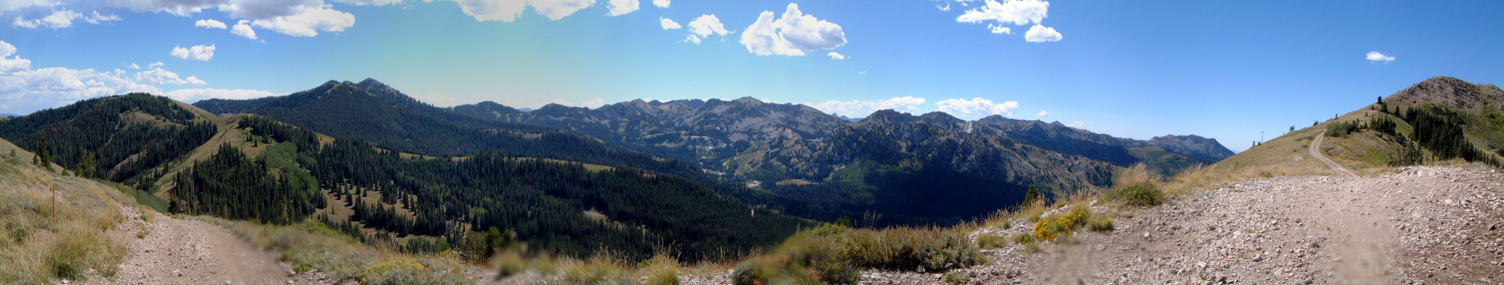
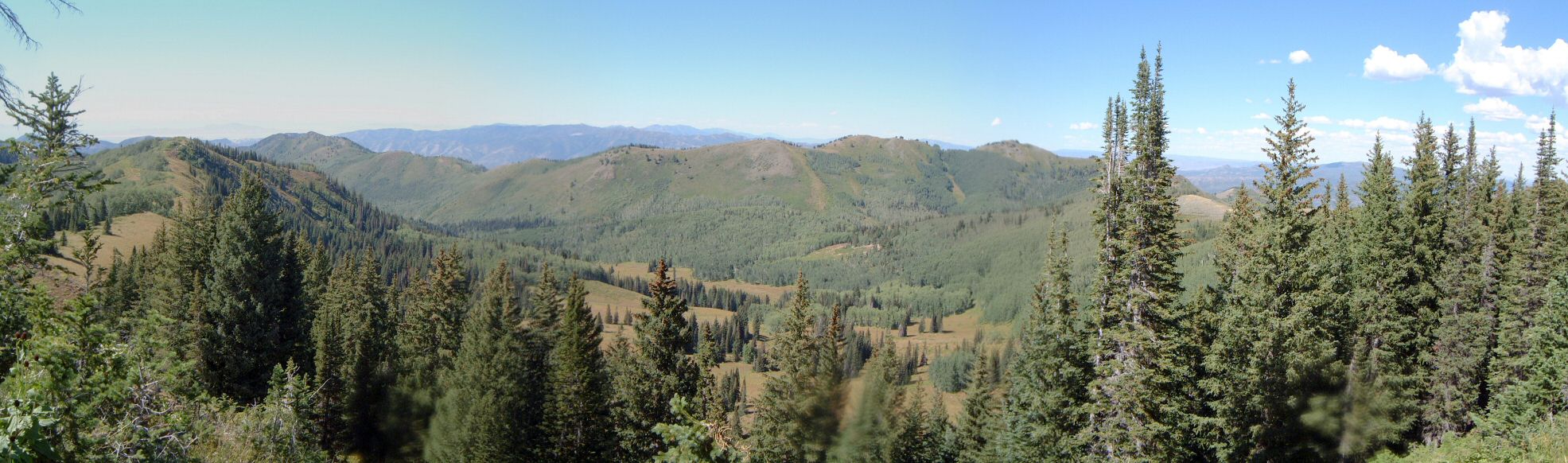
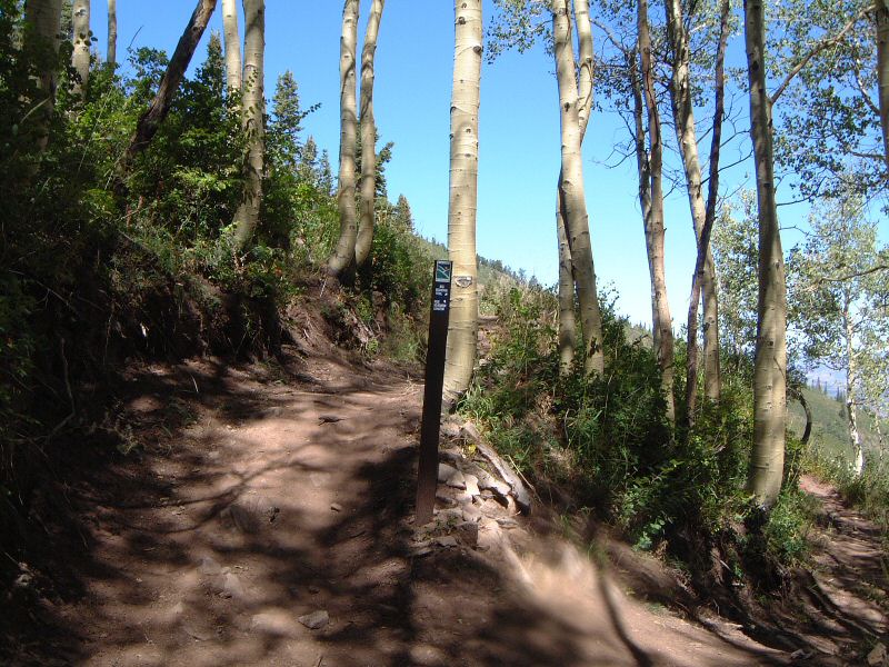
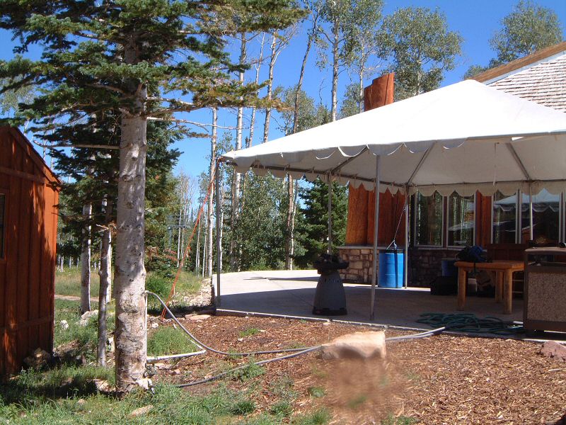
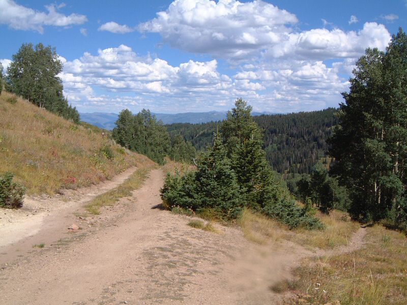
I left home at 8am, went against the traffic rush on Foothill (a novel experience) and rode up Emigration and down to Parley's golf course, from here up Alexander Hollow trail to Parley's Summit. The grass here was so tall that it was touching the handlebars - I was glad to have full gloves. From here on the road down to Pinebrook - might be a better idea to drop down to Jeremy Ranch on the singletrack in the future. It did not take me too much trouble to find the trail that goes around the Pinebrook neighborhood, but there are several junctions that follow which were a bit confusing. The map I had and common sense was mostly successful, but, it was quite strenuous climbing up to water tank in Twomile Canyon where I finally connected to Mid-Mountain trail. Probably about 1800 ft. as the trail went up and down (the difference between the two points is only about 1000 ft.) There was more climbing on Mid-Mountain but it was mixed with downhills so I made in to Red Pine Lodge in an hour. Quite nice, though locally bumpy. At the Lodge came an unpleasant surprise - it was closed and I was out of water. I run around the place for 20 minutes until I found a hose, and later even a lever that turns the water on. After a refill, I continued on Mid-Mountain trail to Thaynes Canyon, that took another hour or so, but, I was getting really tired of the trail, it's quite rocky and bumpy and climbing on this on a hardtail was not much fun. Then it took another hour to climb those 1600 ft. to Scott's Pass and Puke Hill which was not fun at all, I was getting pretty tired, but, at least the road was not much bumpy. I somewhat revived on the Crest (maybe thanks to caffeinated Power Gel) and blasted it down to upper Millcreek in an hour. I could go fast mainly since on a weekday I met only several people on the whole thing. It took another 45 min to go down Millcreek, first on the road and then on the Pipeline - here I felt like a robot, just pedaling and taking corners on the flat parts, but it felt good. Then just a ride home on the road, against the rush traffic now going in the other direction, wondering who had a better day... |