| Name: | Ridge Trail 157 from Alta and back | 
|
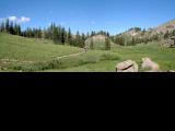
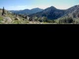
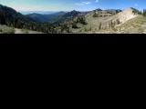
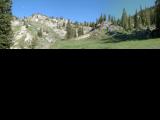
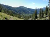
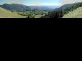
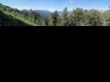
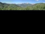
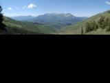
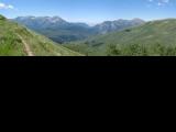
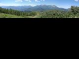
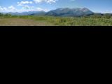
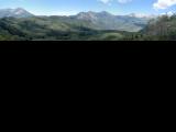
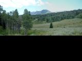
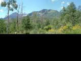
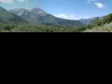
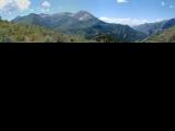
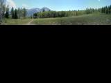
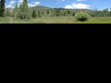
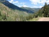
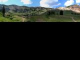
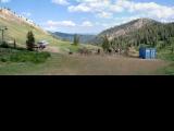
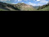
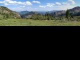
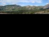
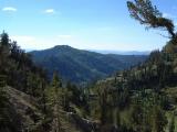
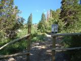
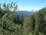
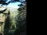
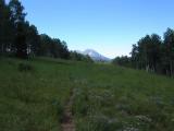
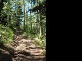
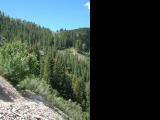
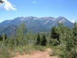
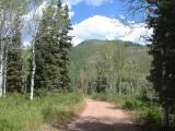
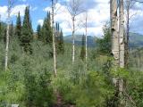
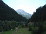
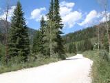
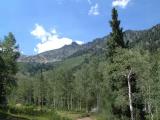
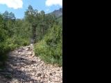
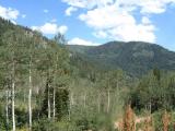
| Description: | An attempt to connect nice trails around Timpanogos Divide with Alta turned in the largest bonkfest in the season. Started in Alta and climbed Catherine Pass Trail to the pass. Nice climb. Then a bit of a push on GWT and descent into Dry Fork of American Fork Canyon. The descent is locally loose since the trail is opened to motorcycles. Once one reaches the gate which blocks ATV use, trail 157 climbs up to the ridge on a couple of switchbacks on a steep slope. From here on, the ridge trail is in decent shape, locally loose but overall a good riding. Pass through Pole Line and Sandy Baker Passes and climb up a bit under Mill Canyon Pk. Following descent is pretty loose, I walked some of it. From there on, tr. 157 is good. Dropped down South Fork Trail and up to the Timpanogos Divide. From here back on Ridge Trail 157 to Mud Springs Trail, which descends and traverses towards Mill Canyon, on this one down to Tibble Fork Reservoir. Here I had a break, refilling water, reapplying sunscreen,... amid crowds of recreationists. What followed was quite a nightmare, climb ATV-infested road up American Fork Canyon. Once the ATV crowds thinned up in the upper half of the canyon, the technical difficulties started. There are numerous rocky sections on the jeep trail that require considerable walking. Finally in the Mineral Basin, being wasted as I was, I got serious stomach cramps. I rode/pushed the lift road up to Sugarloaf Pass half awake (ATVs use all these roads which means that they are pretty loose), there relieved myself and did a quite decent ride down to Alta. Overall, one of those once in a lifetime rides. Some sections are nice, though. Not so nice are initial descent on the GWT from Catherine Pass, and loose descent from Mill Canyon Peak, and the whole ride up American Fork Canyon. | |
| URL: | TopoFusion Home Page | |

| ||
| Trip Length: | 41.74 miles (67.15 km) |
| Total Trip Time: | 9:29:26 (7:44:39 moving time) |
| Total Climbing: | 10010 feet (3051 m) |
| Total Descending: | 10425 feet (3178 m) |
| Average Speed: | 5.39 mph (8.67 kph) |
