| Name: | Ride around Timpanogos (R.A.T.) | 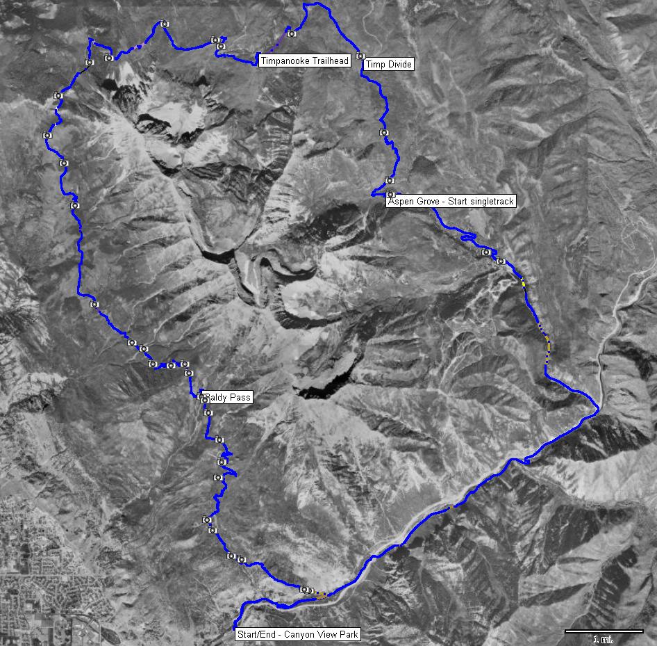
|
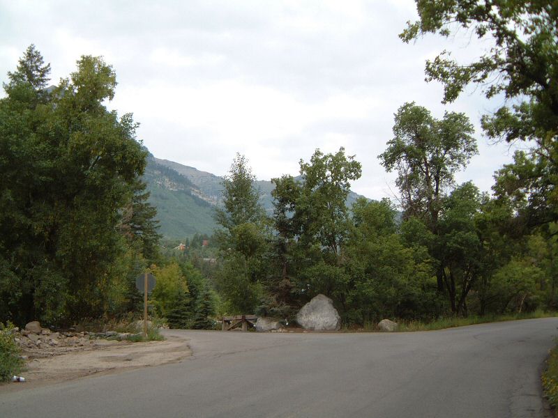
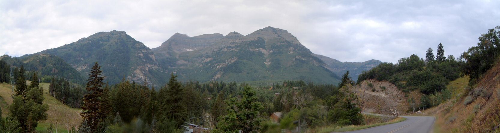
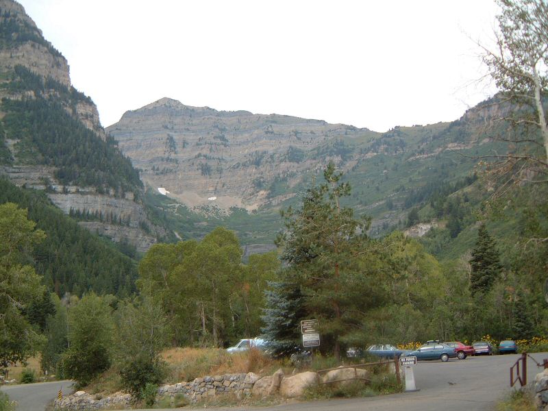
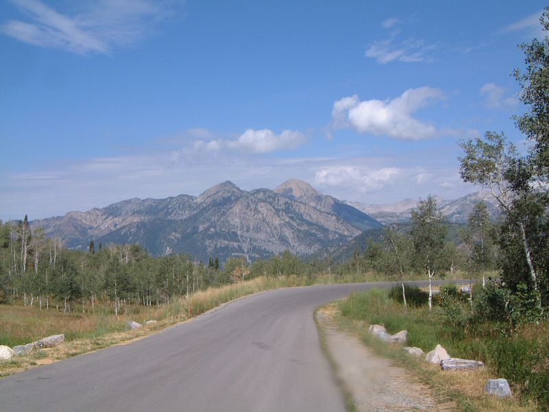
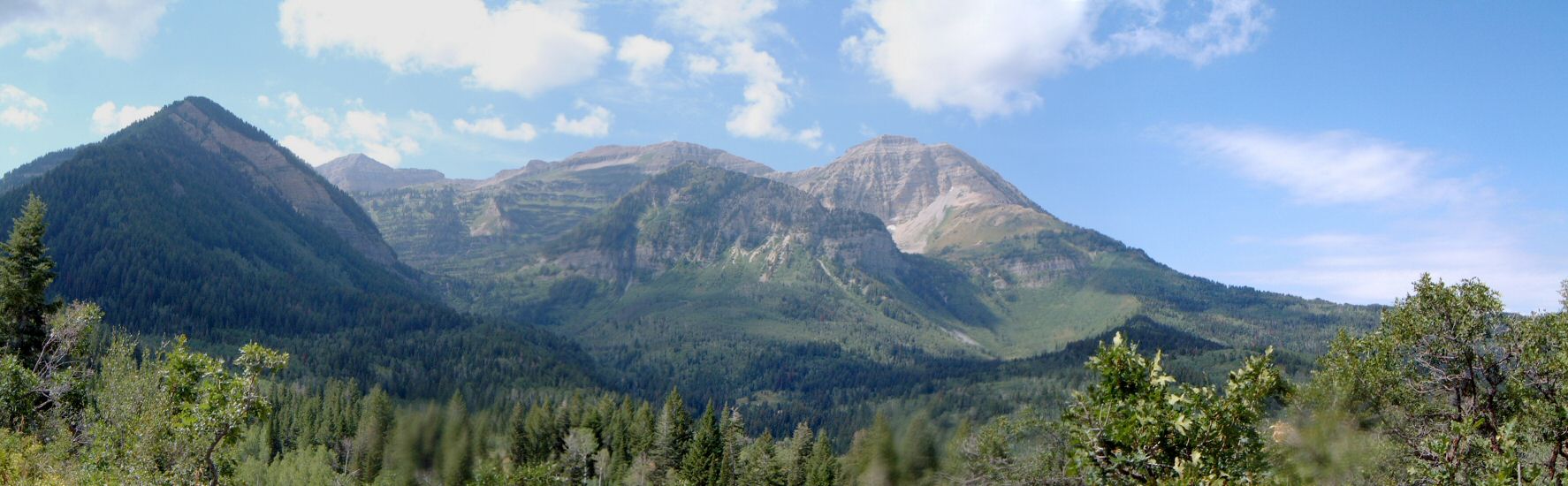
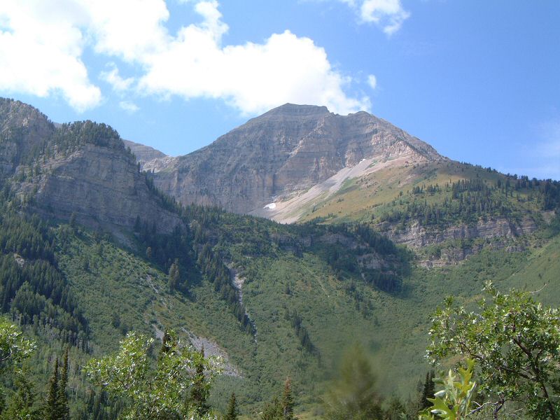
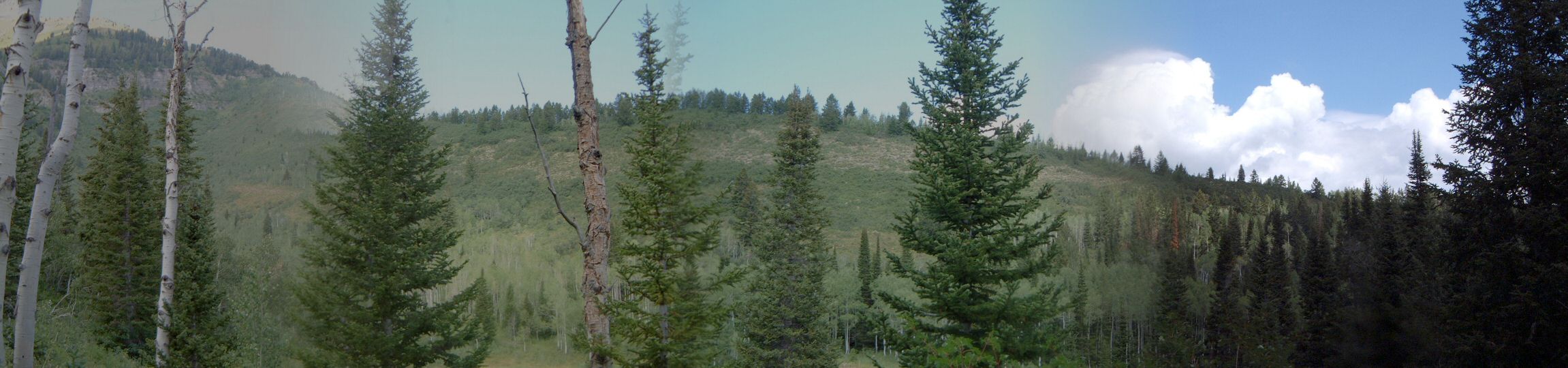
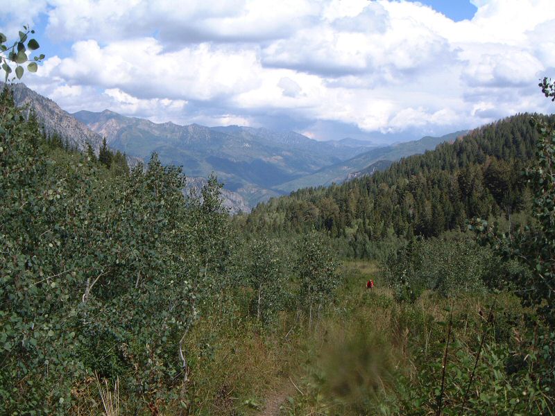
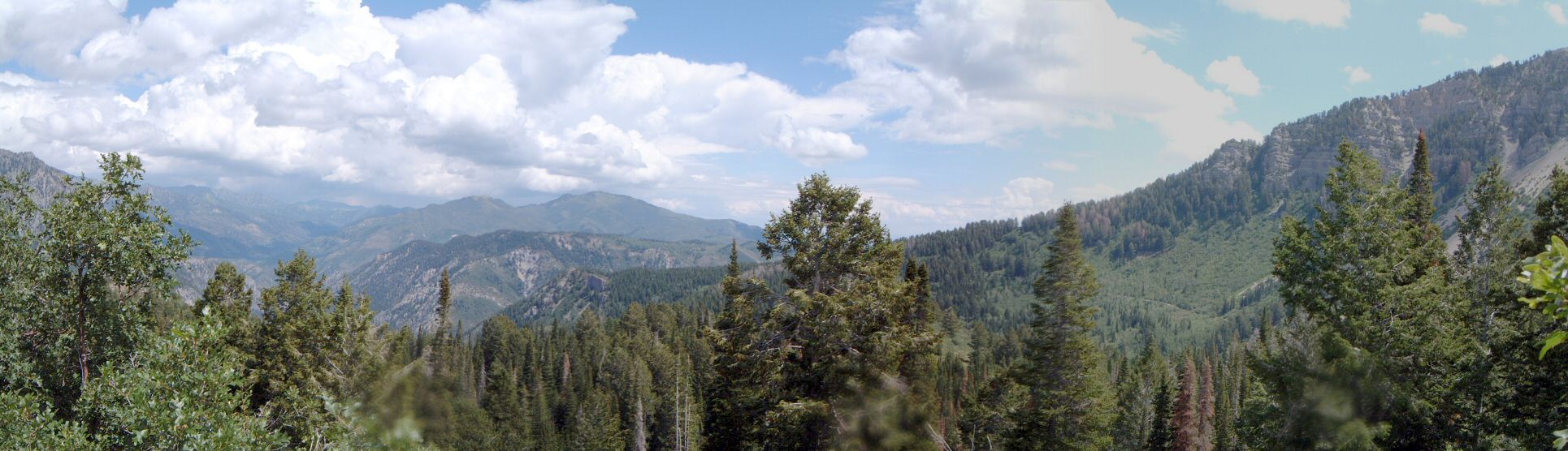
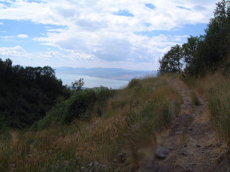
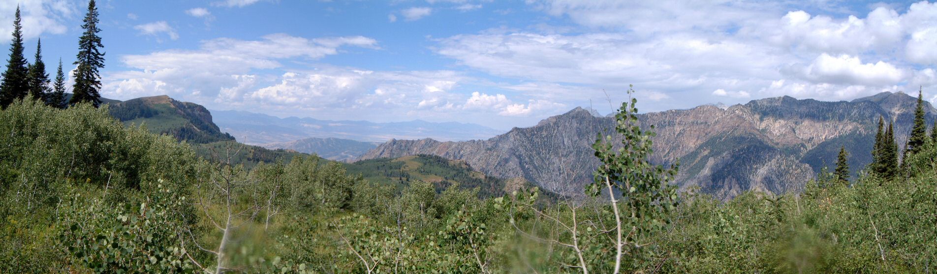
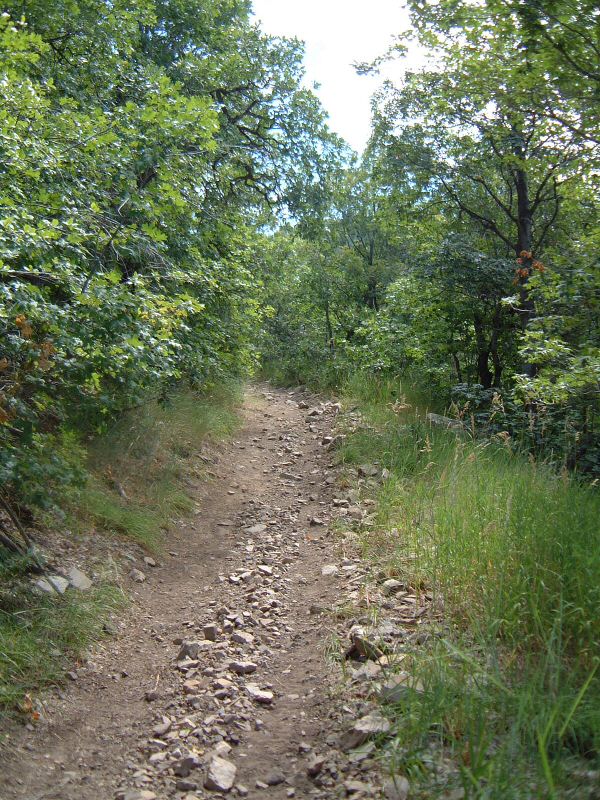
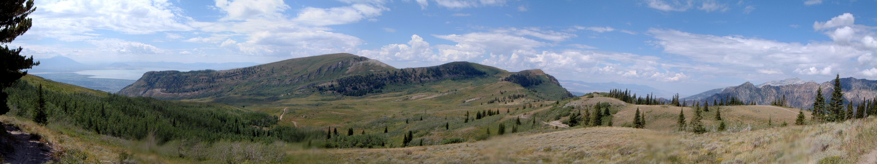
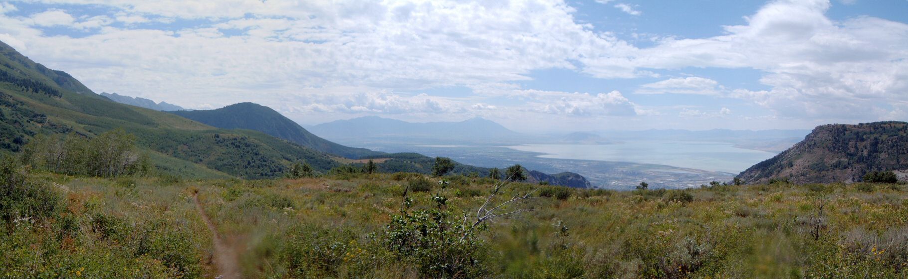
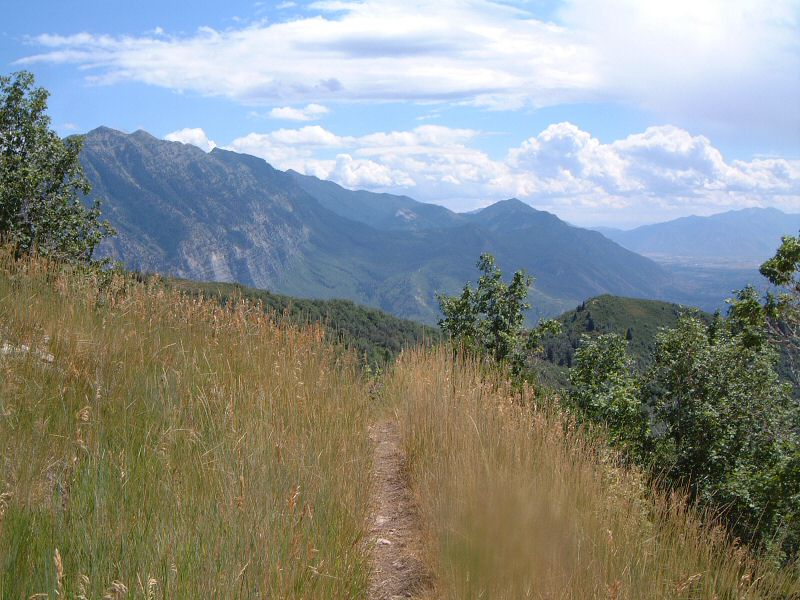
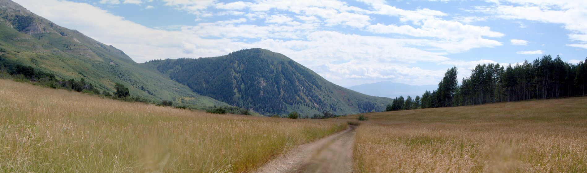
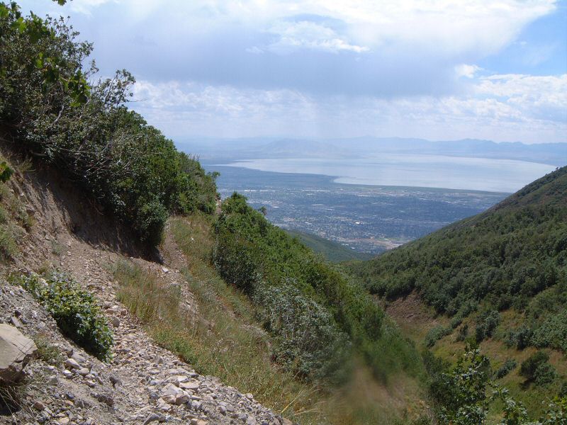
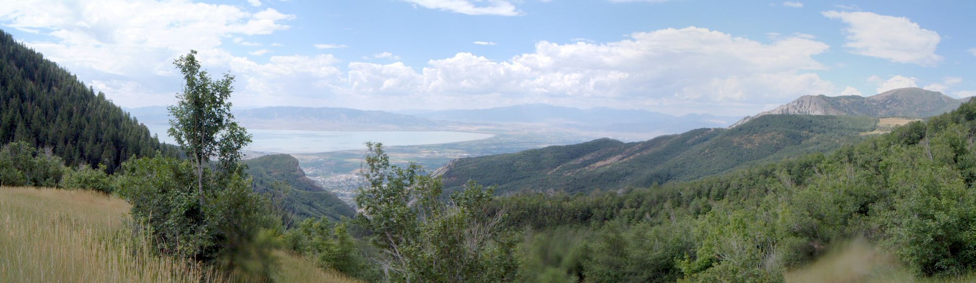
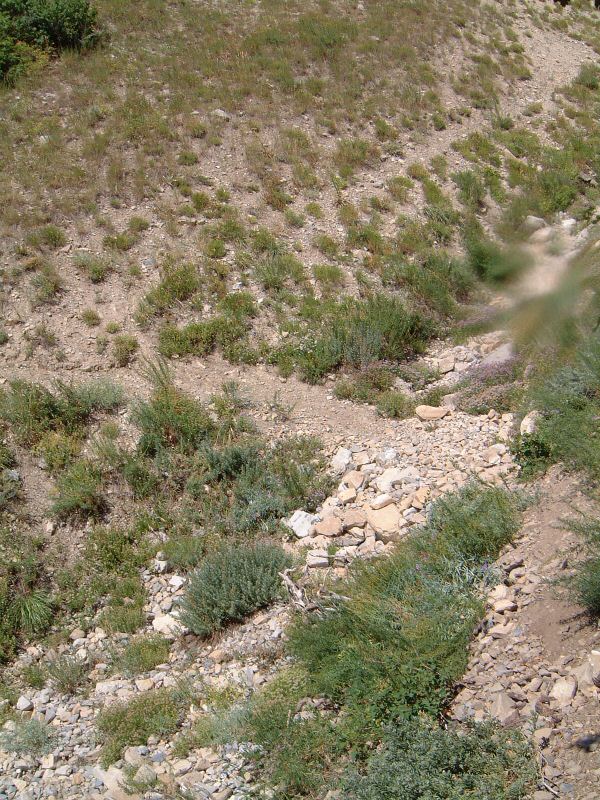
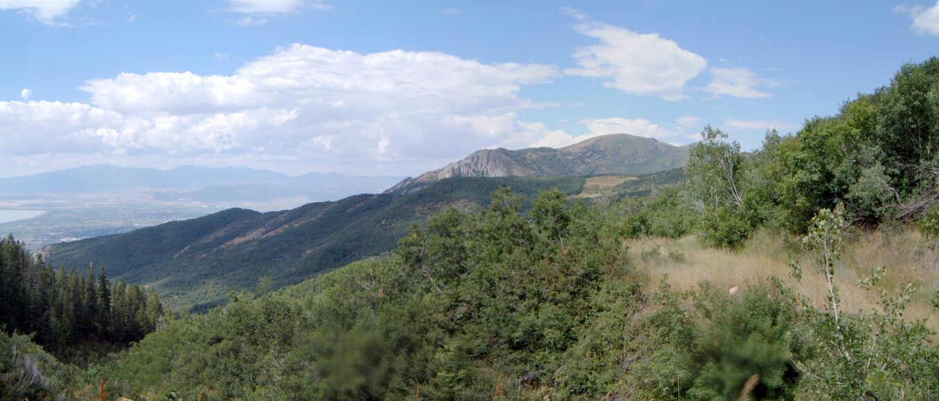
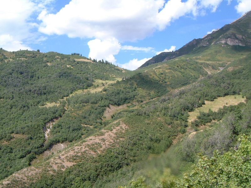
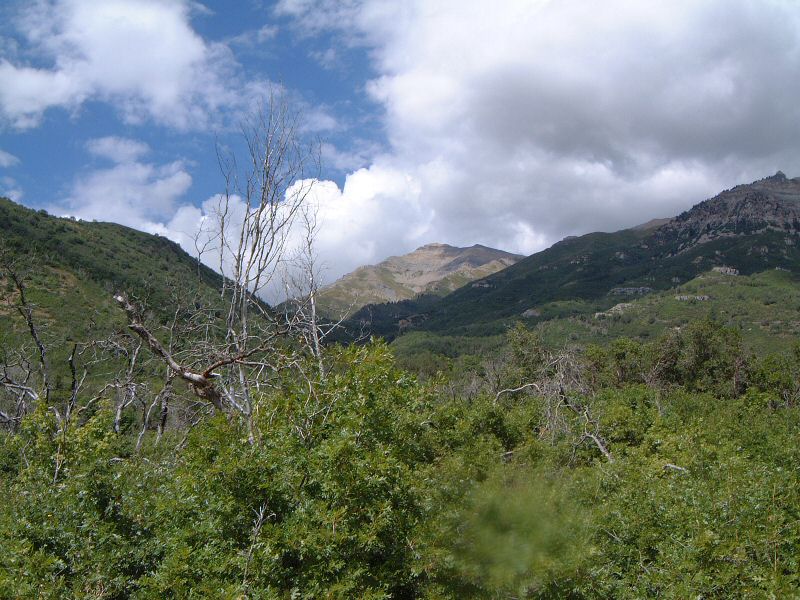
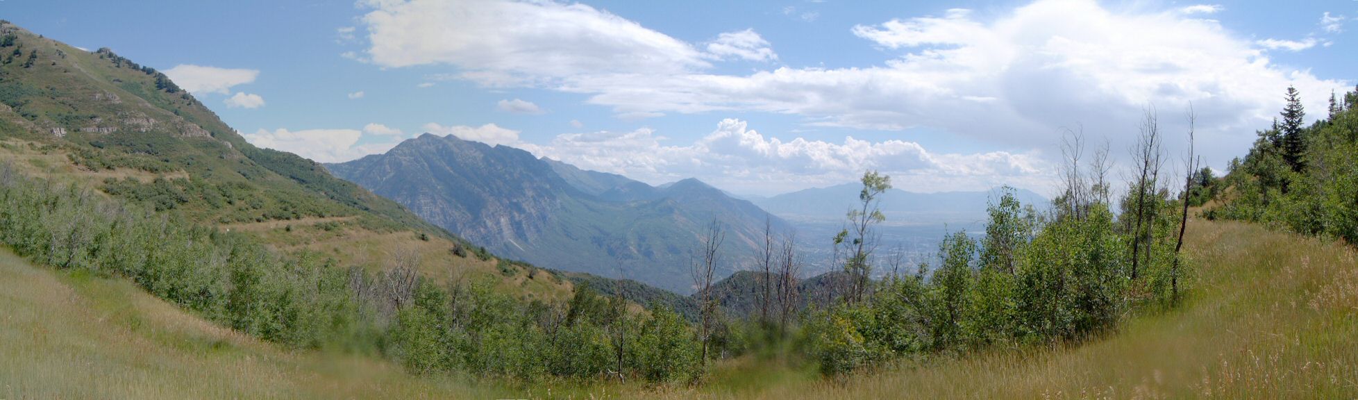
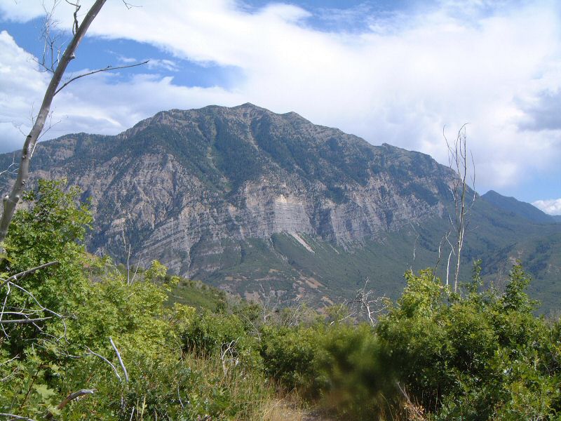
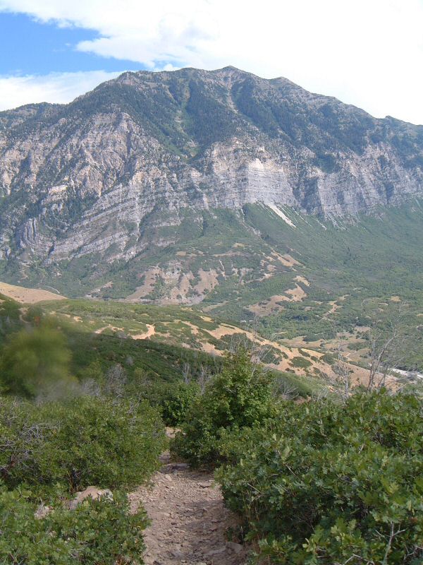
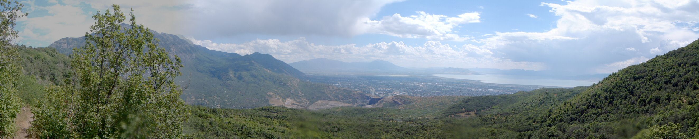
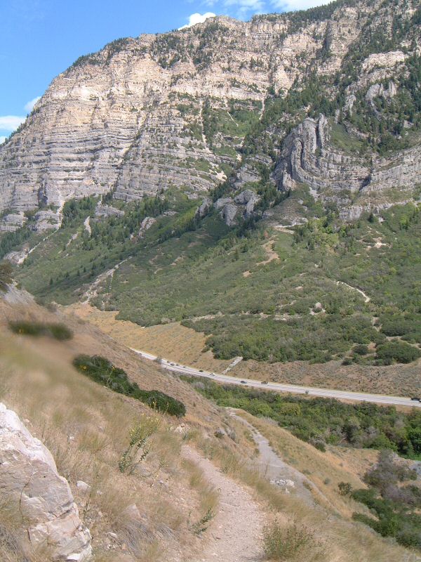
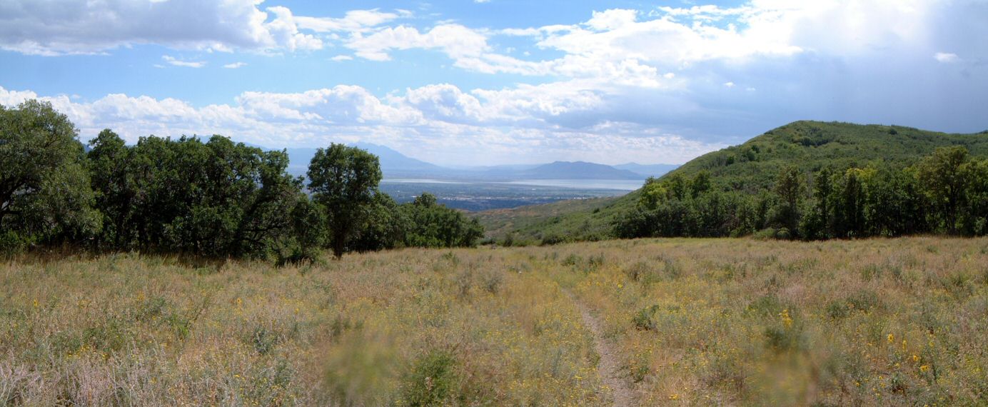
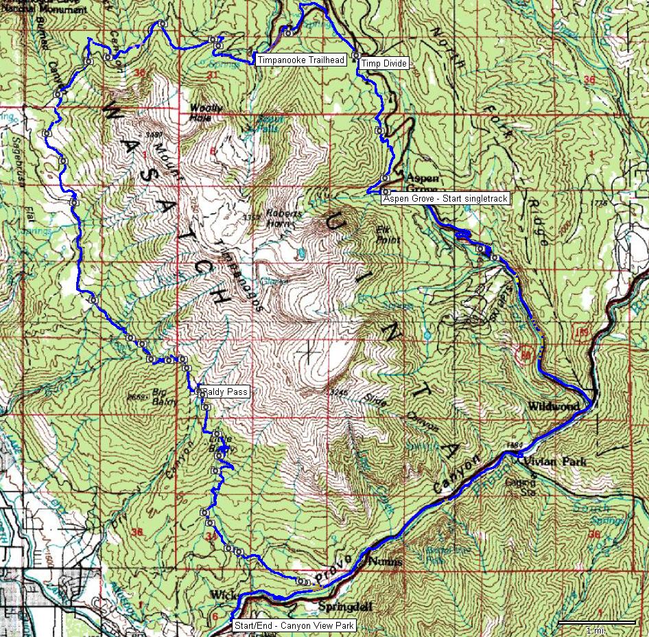
| Description: | A loop around Mount Timpanogos that aspires for the epic status. Rode almost exactly as Gregg Bromka suggests in his phenomenal Wasatch Front guidebook. I started at Canyon View picnic area at the mouth of Provo Canyon, and rode up paved Provo River Parkway to its terminus. Then up the highway about 1/2 mile and up road to Sundance and Aspen Grove. That's about 11 miles of pavement. In Aspen Grove, first up about 200 yards on the trail to Mt. Timpanogos, then turn right onto Great Western Trail (GWT). The trail first climbs steeply on semi-loose rocks, then moderates up in the aspens. Locally it's loose due to horses (an ever-repeating scenario for most of the ride). I was up at the Timpanogos Divide in 1hr 45min - not too bad. From here, down Salamander Flat trail and Pine Hollow trail to Timpanooke trailhead. Here, I refilled the water, and would highly recommend doing this, since the second half of the ride is on the sunny western slope. From Timpanooke, hop on GWT trail 151 (or 157). It climbs with a couple of steep loose pitches, levels up a bit and climbs considerably more (500 ft?) first over several switchback that are more-less rideable, then over loose motorcycle-churned-up gravel, that's a portage. Up on J. A. Meadow, and a little of a downhill, followed by ups and downs and then descent to Rocky Canyon, and climb out of it, which is loose but rideable. Another small down and up really loose dirt (another push). Looks like this part can be bypassed on Timpanooke road - but the downhill after the push up is nice. Finally some serious gravity bucks - nice downhill through a high meadow, several switchbacks (again, loose due to motorcycles) and one is spit out at the Timpanooke road. The road is dusty, rocky and bumpy, but, goes down a bit so it's an easy cruise. At its end, the GWT goes straight, as an ATV trail that is really loose. First it climbs a bit, then more seriously over lots of loose rock (more pushing). Then comes the last push to Baldy Pass, the trail is not too steep but it's loose, I managed to ride the straight parts, pushed the switchbacks. Some had up to foot deep loose gravel, courtesy of your local ATV club. Anyway, the climb was not too bad, but, maybe because I downed a liter of Gatorade before it. No big sight of relief at the pass. There's 3500 ft of downhill ahead, but, one has to be very alert while riding it. The trail first descends steeply about 300 m down on loose (motorcycles) Dry Canyon Trail. Then there's a faint left turn, onto which one has to turn. Fortunately, all motorcycles seem to go down Dry Canyon. The upper third of GWT is quite rugged, ther are numerous traps in forms of rocks, roots and branches. Looks like only some horsemen made it lately. As one goes lower, the trail seems to get more traffic, so, the speed can be increased a bit. There is a short respite on the Alta Aqueduct Road, which one has to follow to the left for about 1/2 mile and then hop onto Shoreline Trail at the gate. Shoreline is OK, lots of loose rocks, but, rideable. A couple of final switchbacks and then comes the bottom of Provo Canyon, and short cruise on Provo River Parkway back to the car. What to say at the end? Quite some work for meager 34 miles. Lots of granny gear use and considerable walking resulted in one of the smallest average speeds that I have experienced lately. The main plus is the views, second smaller plus is the last GWT downhill. One must definitely save some gas for it to enjoy, though. | |
| URL: | TopoFusion Home Page | |
| ||
| Trip Length: | 34.44 miles (55.42 km) |
| Total Trip Time: | 6:09:41 (5:02:56 moving time) |
| Total Climbing: | 6354 feet (1937 m) |
| Total Descending: | 6705 feet (2044 m) |
| Average Speed: | 6.82 mph (10.98 kph) |