| Name: | Kessler Peak | 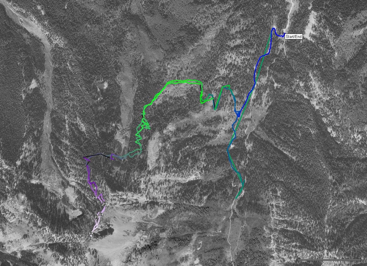
|
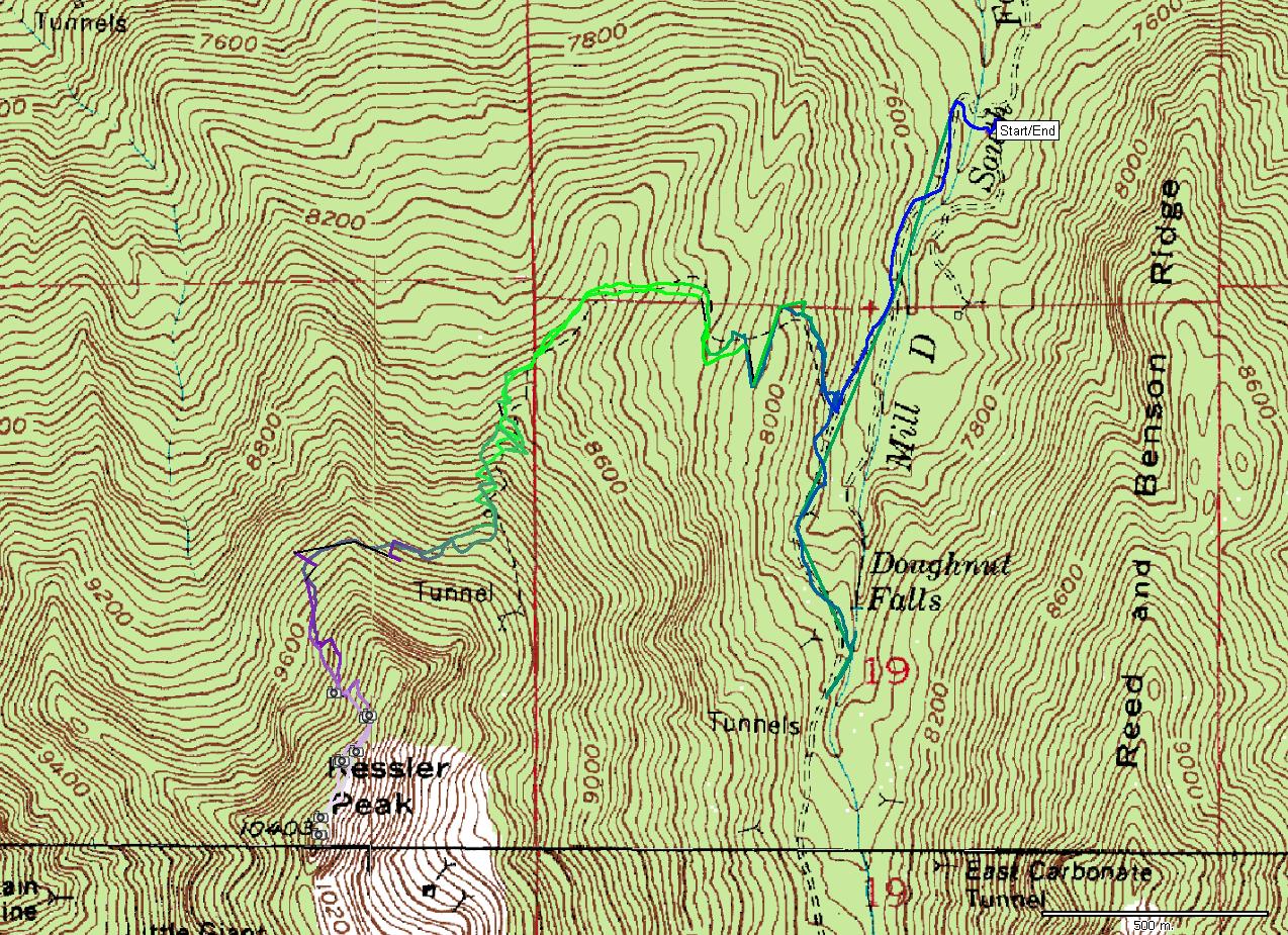
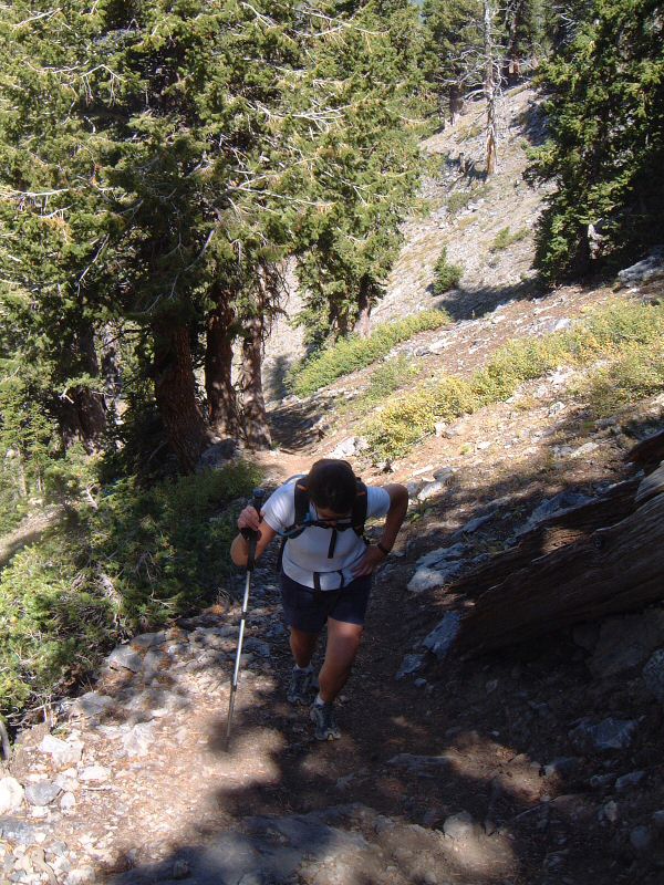
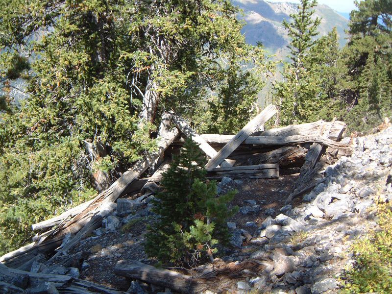
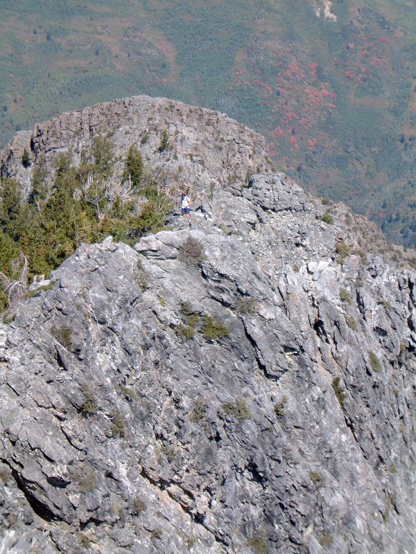
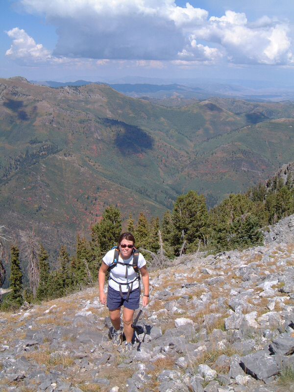
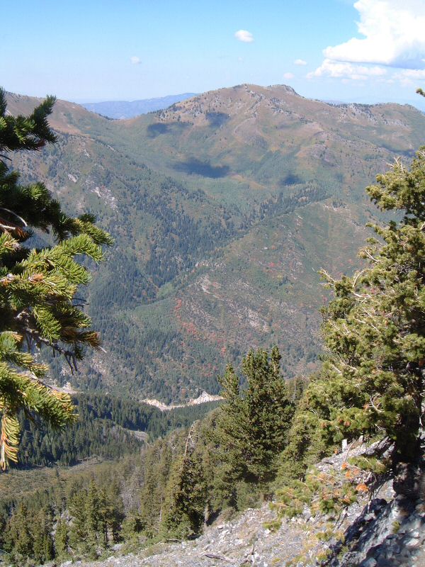
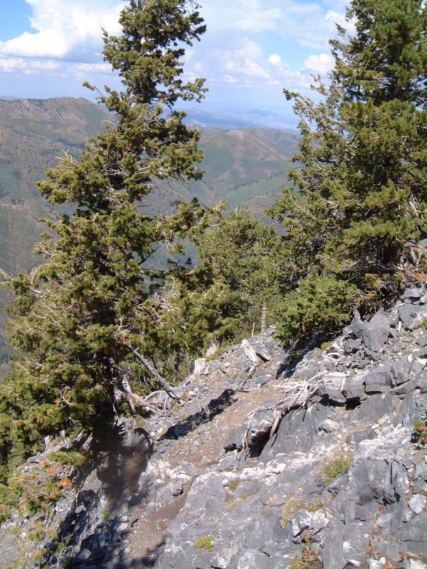
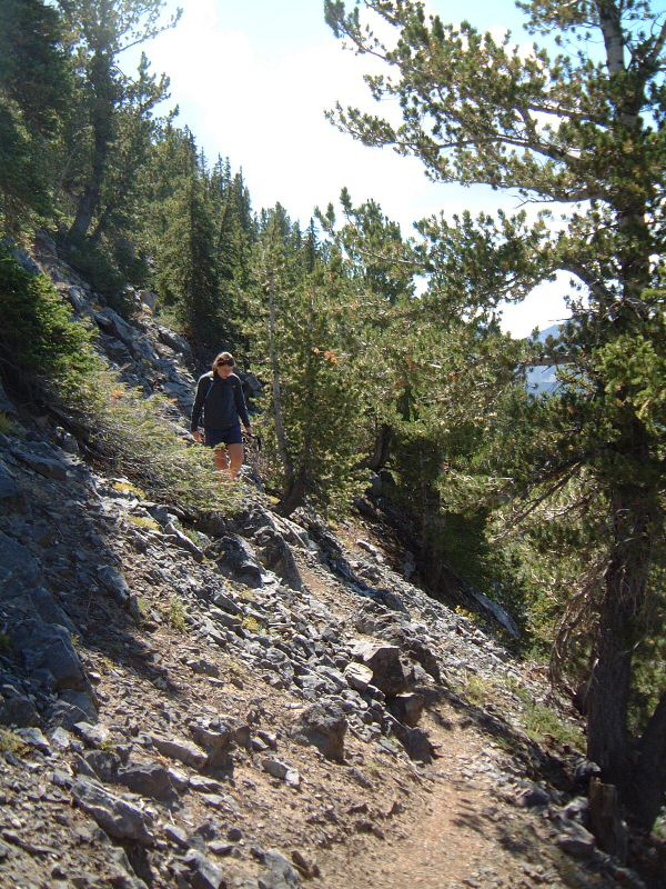
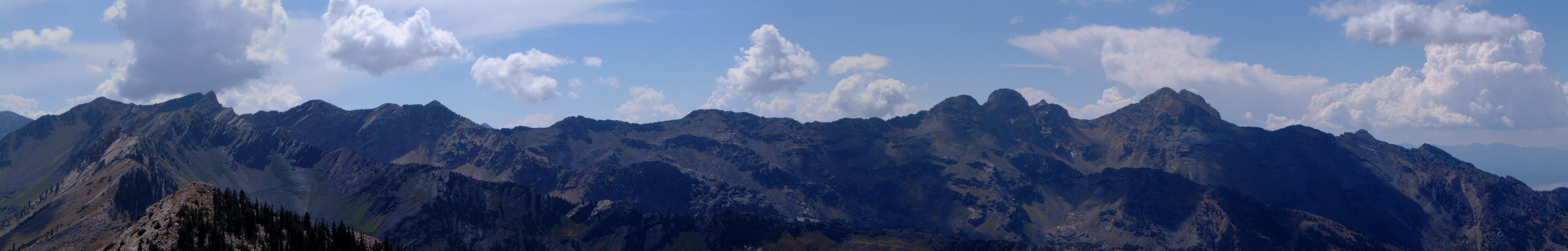
| Description: | A hike in Big Cottonwood Canyon. Kessler Peak is a mountain on a side ridge coming out of Mt. Superior. The hike starts at the Donut Falls trailhead, but, goes off the main Mill D fork road pretty soon. We missed the turnoff at first. The trail is pretty steep most of the way, but the views, especially at the higher parts, are pretty nice. | |
| URL: | TopoFusion Home Page | |
| ||
| ||
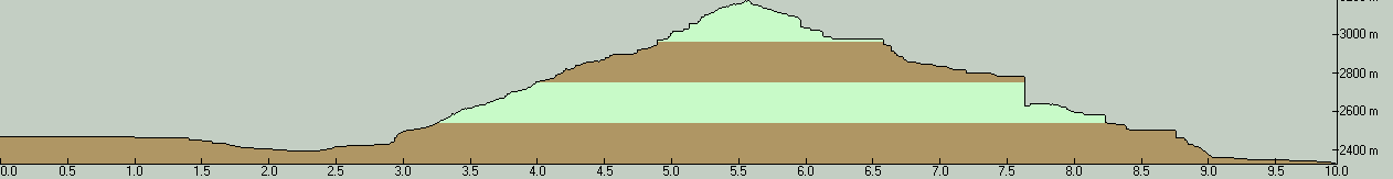
| Total Distance: | 6.19 miles (9.96 km) |
| Total Trip Time: | 4:13:59 (4:13:34 moving time) |
| Total Climbing: | 2745 feet (837 m) |
| Total Descending: | 3184 feet (970 m) |
| Average Speed: | 1.46 mph (2.36 kph) |
 DSCF0001.JPG |
 DSCF0002.JPG |
 DSCF0003.JPG |
 DSCF0004.JPG |
 DSCF0005.JPG |
 DSCF0006.JPG |
 DSCF0018.JPG |
 DSCF0025.JPG |
 DSCF0026.JPG |
 DSCF0027.JPG |
 DSCF0028.JPG |
 kessl1s.jpg |
 kessl2s.jpg |