| Name: | Weiser River Trail - Day 1 | 
|
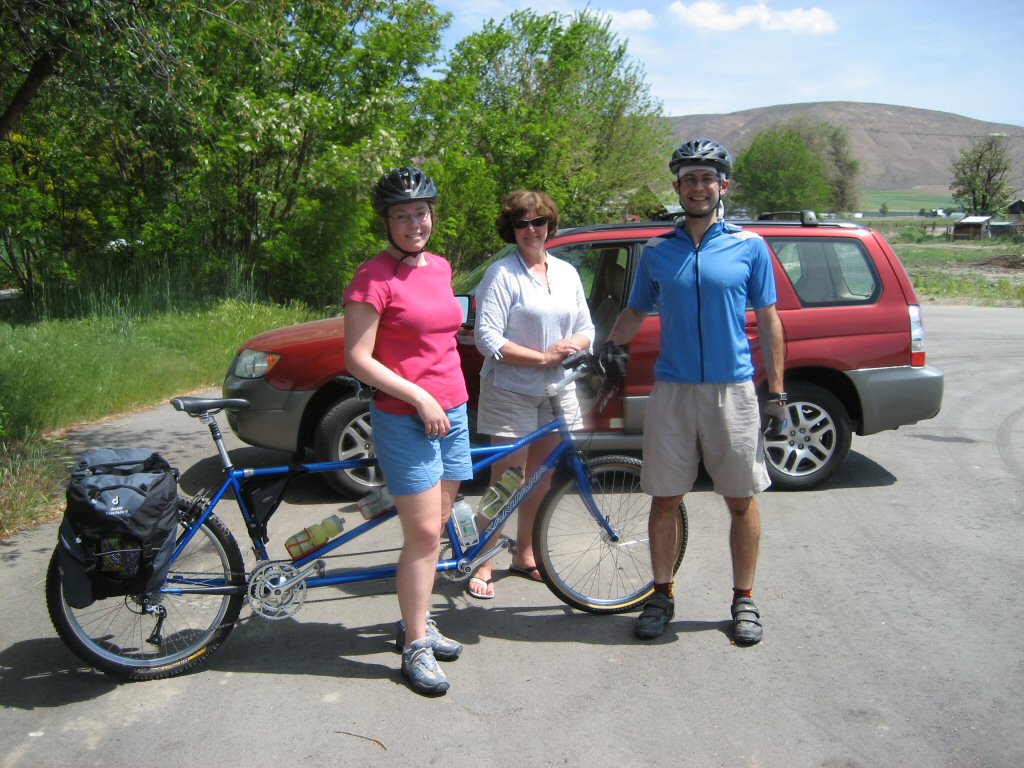
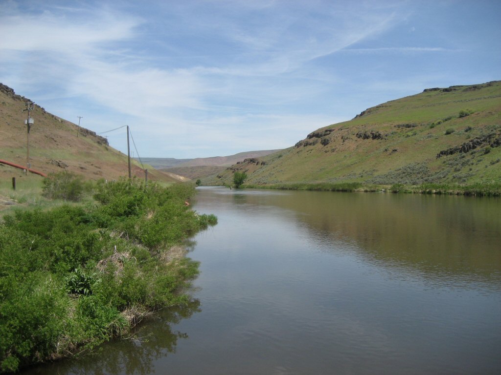
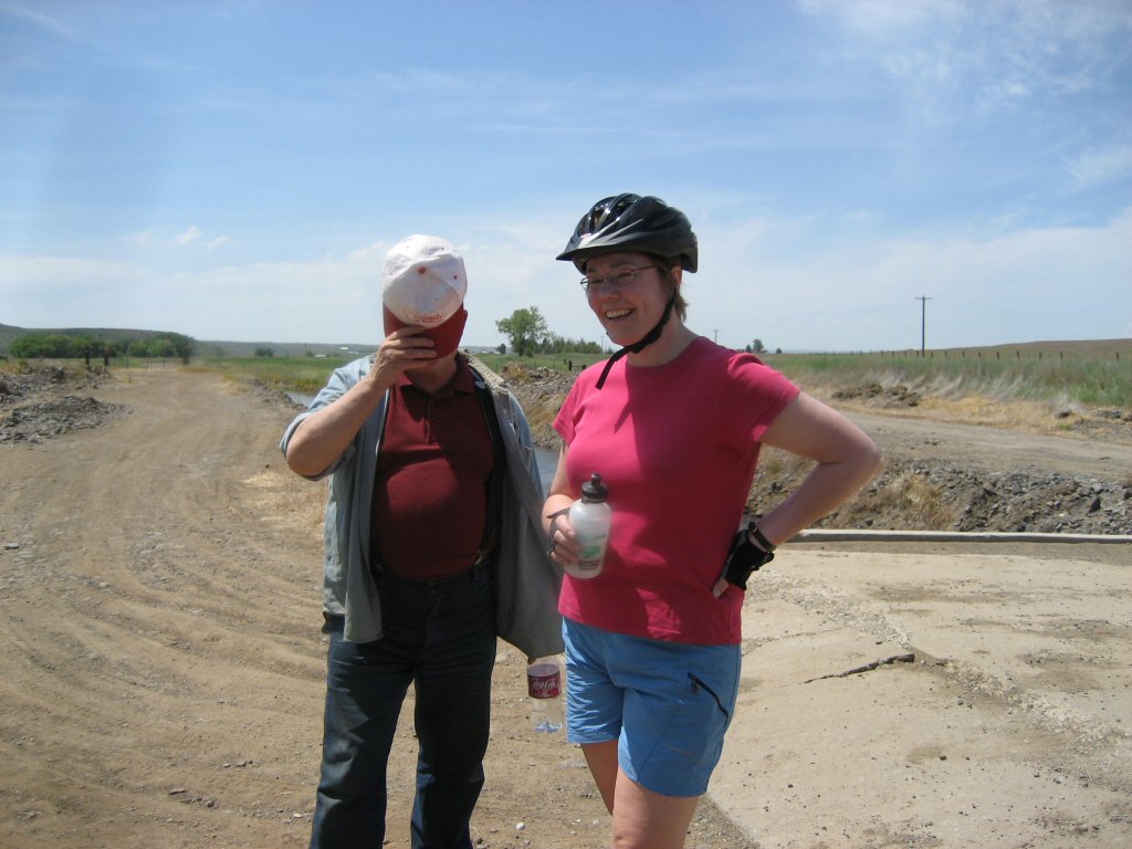
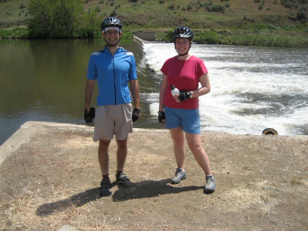
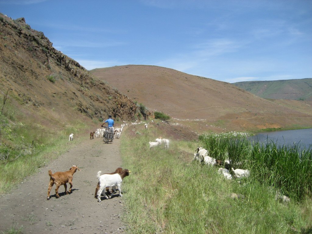
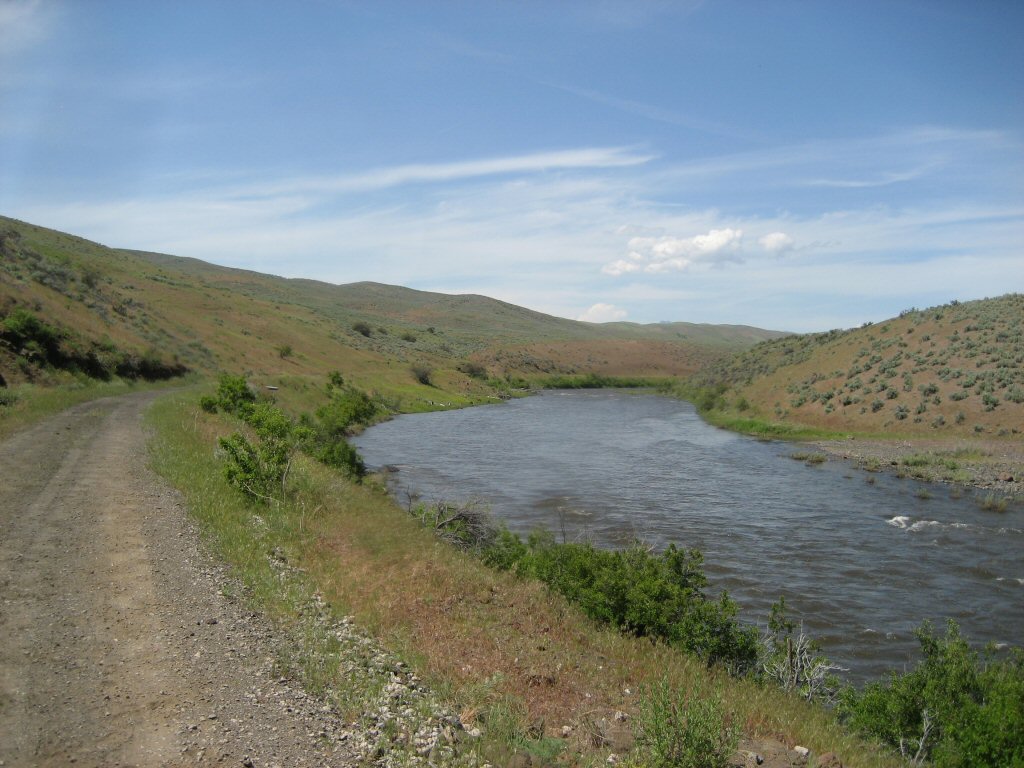
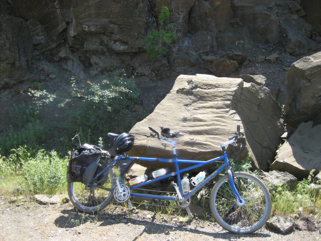
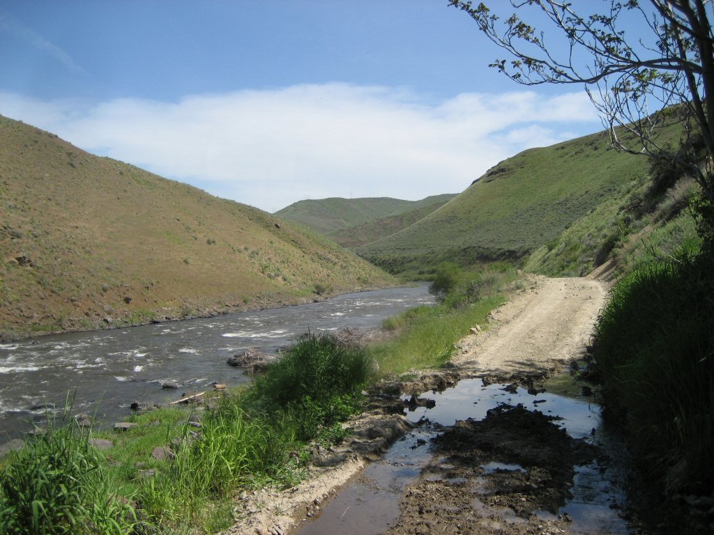
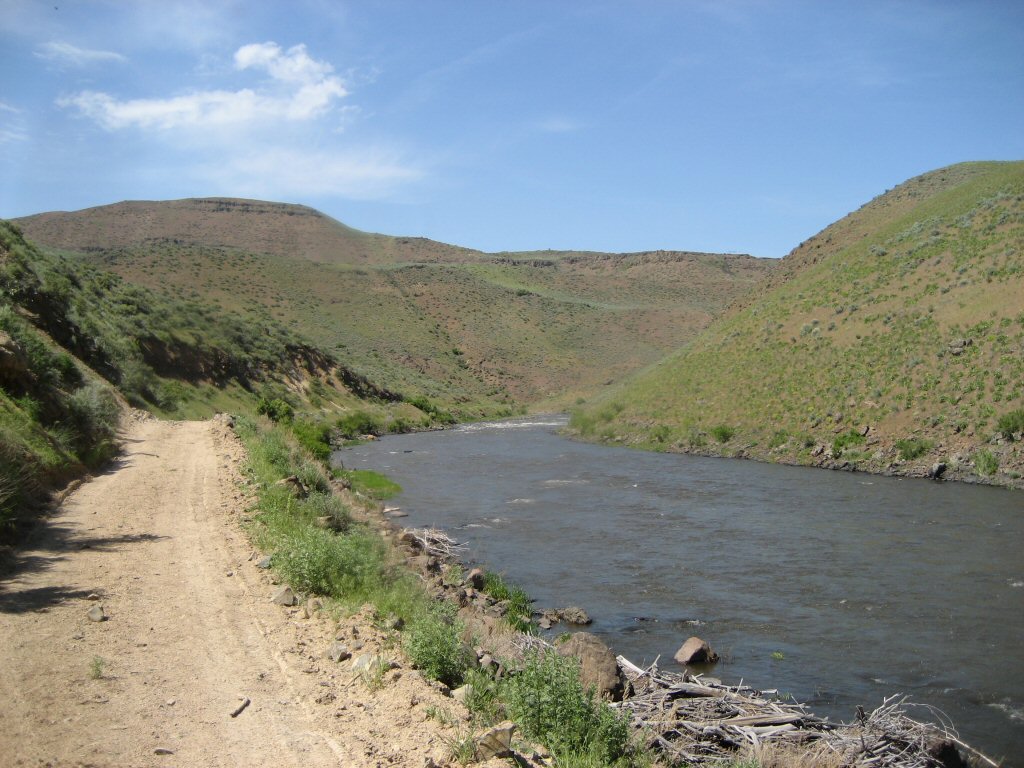
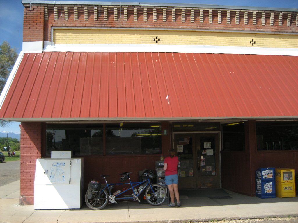
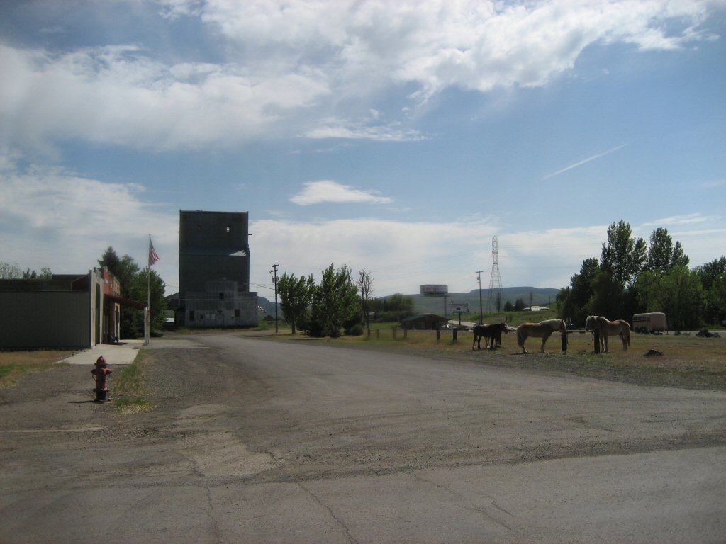
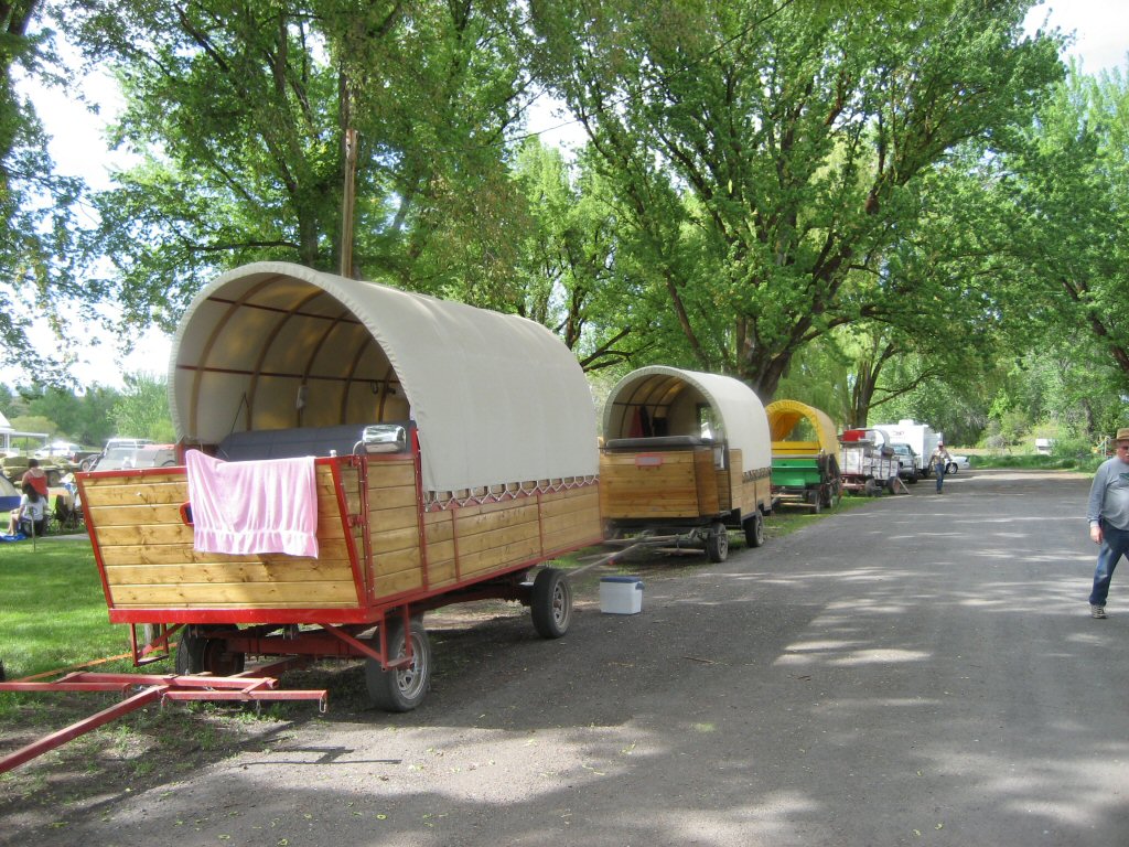
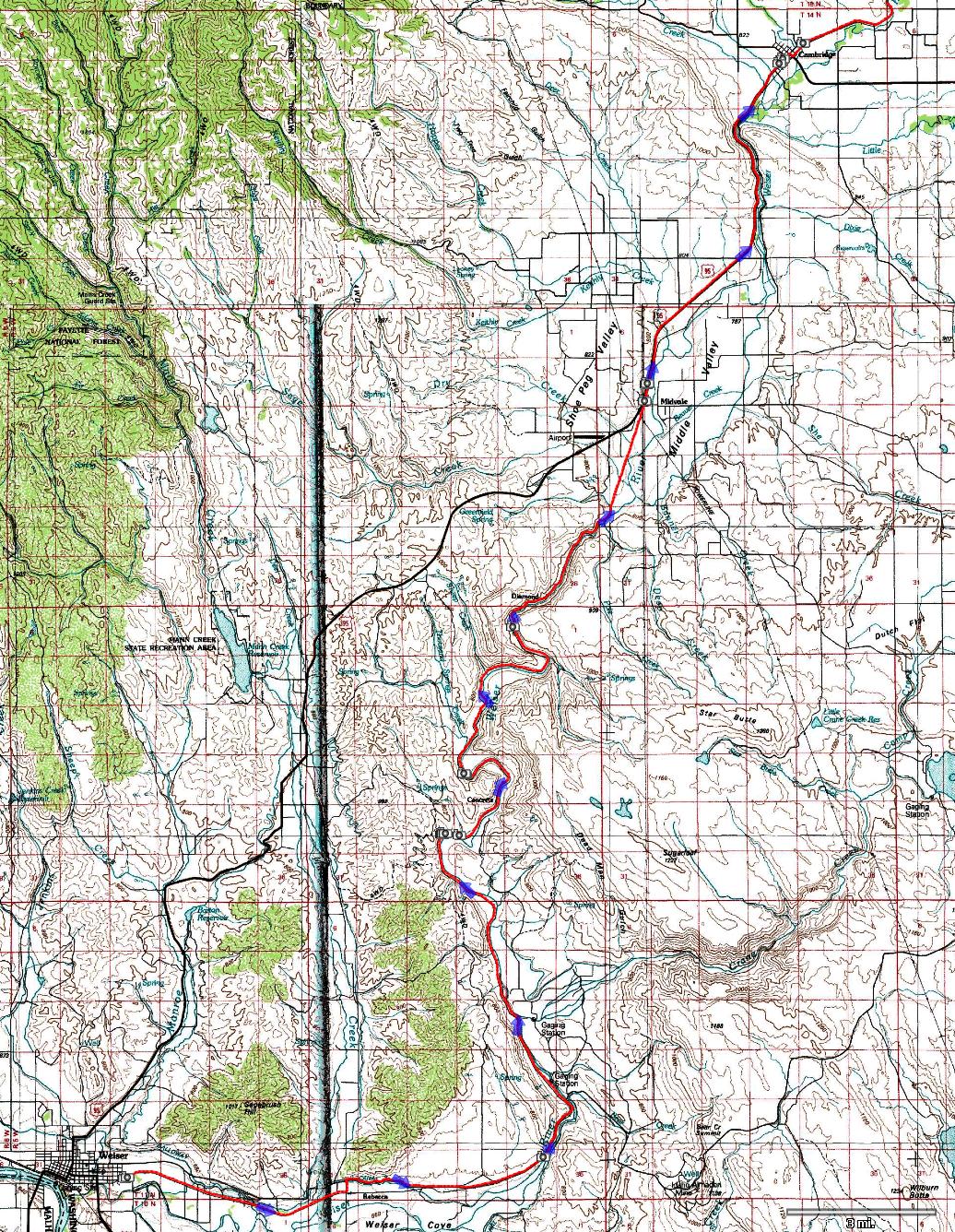
| Description: | Weiser River Trail is a rail to trail project on a former railroad (decomisioned in 1995) that follows the Weiser river from its confluence with the Snake at town of Weiser to its headwaters west of McCall. Generally people travel the trail from north to south - since that's the downhill direction. We did it the other way, mainly since Weiser is a shorter (ca. 1.5 hour) drive from Boise so a drop-off can be done in a resonable amount of time, and, on the pickup, the trip to McCall can be combined with a visit to hot springs at Gold Fork. I figured it will be doable to do this in two days, with ca. 40 miles of riding each day and a break in the middle. I did not want to get too involved with packing and wanted to test out our setup for the touring in Sweden that we'd like to do in the late summer, so, we just packed up two panniers with clothes for the two days and some extra food. Shelly's mom was not too hard to persuade to do the drop off and pickup, for which we are very grateful. On Saturday morning, we drove to Weiser and easily found the trailhead, which is still just partially developed. As I was putting the tandem together, I realized that the knobbies of the new tire I put on the front are too wide and are rubbing the fork. Time for plan B - drive around the town to either find another tire, or a knife to cut those knobbies off. After a few store visits I found some $10 Chinese made tires in the basement of the Kings department store in downtown Weiser. The tire was heavy and looked cheap, but, I figured better than ruining a $30 WTB tire. To my surprise, this tire held up quite well during the trip. We finally got everything functional around 1pm, by that time Shelly and her mom just about had it talking with a retired volunteer local that kept educating everyone on pretty much anything that came to his mind. We were also joined by his older friend Vern, a proud owner of a cruiser bike which he was riding around the town. Vern join us for the first 300m or so of the paved trail and then fortunately turned around. The other guy drove along the road with us till the road turned away from the trail 10 miles later. Talk about friendly locals... The trail was quite rough from the start, mainly due to a wagon and horse riding event that was also on that weekend - the wagons were riding the trail for 4 days in about 15 mile stages. Since the trail was quite rough, we opted for taking the county toad that parallels the trail for about 10 miles. On that stretch we saw a zebra in someone's yard. After 10 miles, we hopped back to the trail and stayed on it for the following 20 miles to Midvale, away from any accessible roads. The trail surface was a mix, some parts were fairly smooth but some were quite gravely and churned up from the horses. About half way up, we met with a big herd of goats that are there every year for a weed control. Apart from the bumpines and heat, the scenery was great with bald hills towering over the river. The heat of the day set in, with the highs around 80 F and no shade we run through our water and arrived to Midvale just in time for a rehydration. We bought a few Gatorades at the local store and refilled our water at the hydrant in the rown park. The we checked out the wagon riders who were camping in the town and watched the small town action in front of the store for some time. It's about 8 miles from Midvale to Cambridge, where we were staying that night. We decided to take the highway instead of the trail since we had enough of the bumps and is was getting late. The motel at Cambridge gave us a nice big room which was nice. Not so nice was that the hot tub was not hot, and we spent the evening listening to screaming kids at the motel pool. Ear plugs did the trick at 10.30pm when Shelly was already out though the kids were still running strong. In the evening, we waked to one of the two local diners to have a Saturday special prime rib dinner, having to go to the nearby bar to get a beer since the restaurant did not have a liquor license. Neither the waitress nor the barman had a problem with this arrangement, and, apparently, Cambridge does not have any open container laws so it was OK to walk with our beer/wine cups from the bar to the restaurant. | |
| URL: | TopoFusion Home Page | |
| ||
| ||
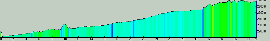
| Total Distance: | 39.33 miles (63.30 km) |
| Total Trip Time: | 4:55:08 (3:21:17 moving time) |
| Total Climbing: | 1323 feet (403 m) |
| Total Descending: | 738 feet (225 m) |
| Average Speed: | 11.72 mph (18.87 kph) |