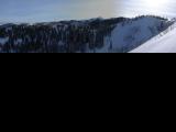
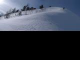
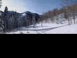
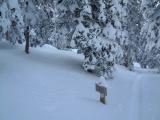
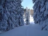
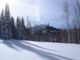
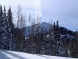
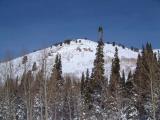
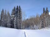
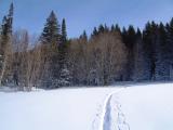
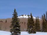
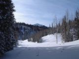
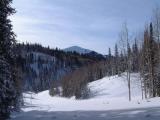
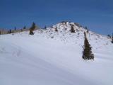
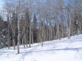
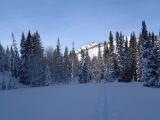
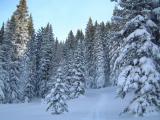
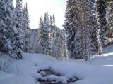
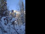
| Description: | An extension of the standard route up Millcreek. From the upper parking lot, there is an old forest road that goes up the canyon around the creek. The climb is pretty mellow first 1/2 mile, and has several steep sections in the second 1/2 miles till the junction with Great Western Trail. Then follows GWT to the crest.
There was a ski track already to about 300 m past the GWT junction, though the climbs before the junction were hard because of high snow coverage - the skis were falling deep into the snow so fishboning was difficult. I also missed the last turnoff from the Mill Creek valley to the crest, and kept in the main drainage for another 100 m or so longer. Then I cut off and went to the crest. Here I thought that I am more north so I skied south for about 1/2 km on a steep slope east of the Crest. I realized my mistake after I got past a side ridge and seeing only further steep slopes. Then there was a frightening crack sound and I quickly headed back to the now correct saddle. Then there was a long ski down, which was quite enjoyable, mainly the steeper sections that made me to remember good ballancing on cross country skis. |


