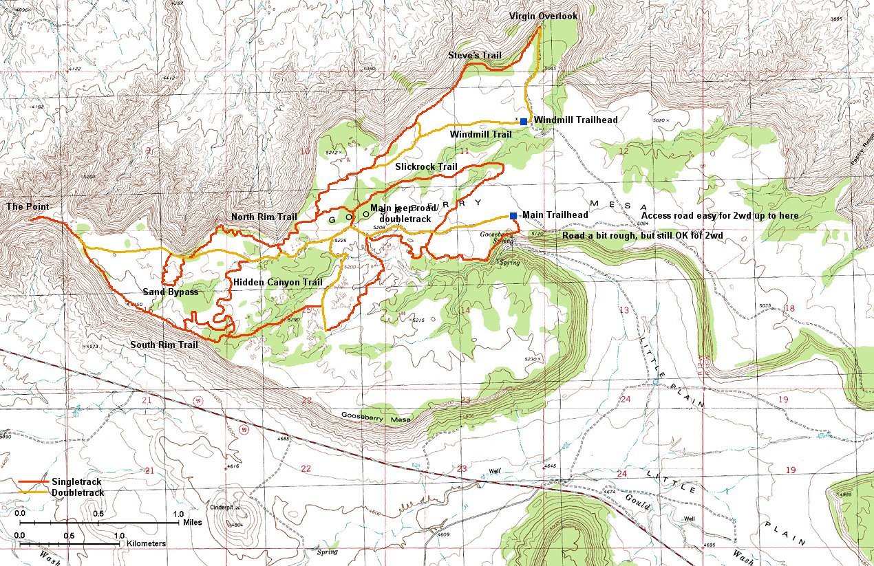
Gooseberry Mesa map (390 kB).
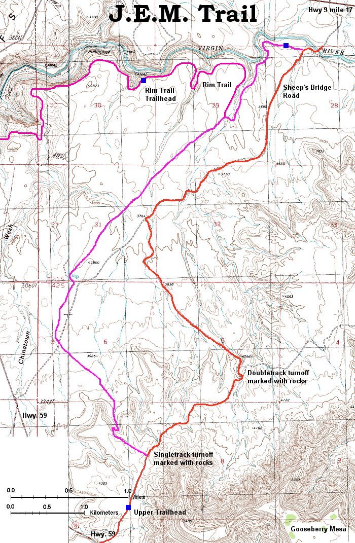
JEM Trail map (540 kB).
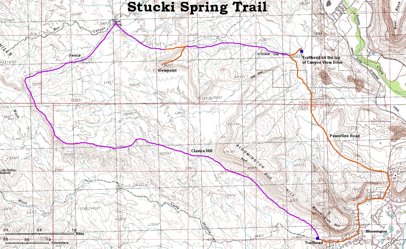
Stuck Spring Loop map (300 kB).
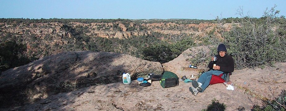
Breakfast on the edge of Gooseberry Mesa.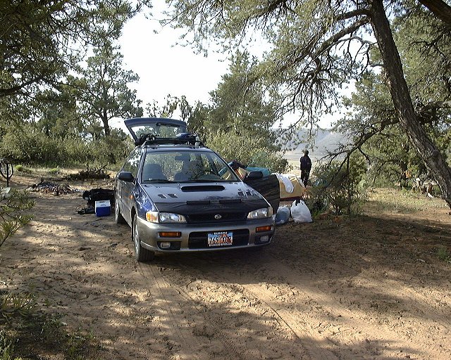
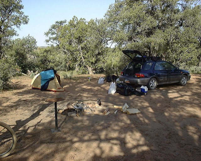 Two shots from our campspot at Gooseberry.
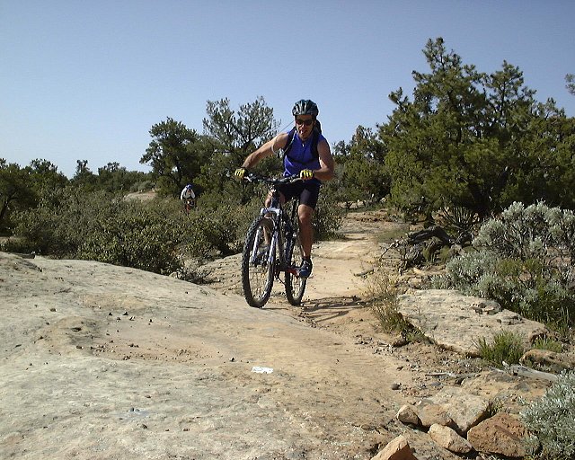
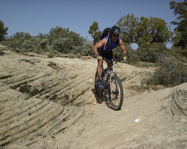 Twice Gary on the North Rim Trail.
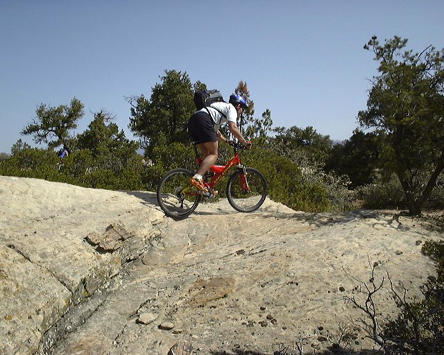 Greg a bit farther on the trail.
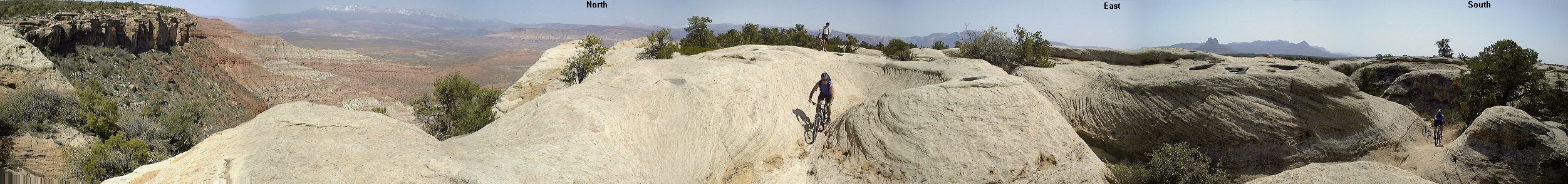 Panorama from the north side of Gooseberry.
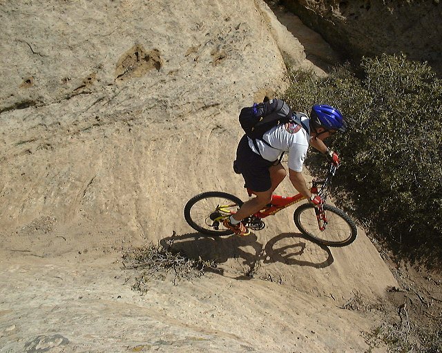
 Greg pases the same gully as on the previous panorama.
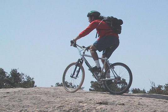 Me biking on one of the sandstone hills nearby.
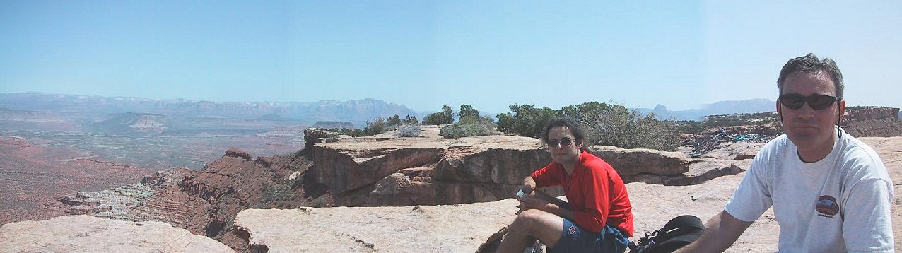 Me and Greg during the lunch on the western end Gooseberry, panorama north-west, Zion NP in the background.
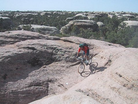
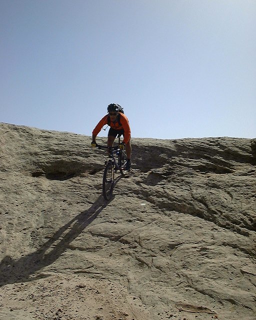
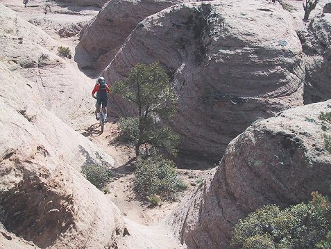 Me on the sandstone hills of the Hidden Canyon Trail.
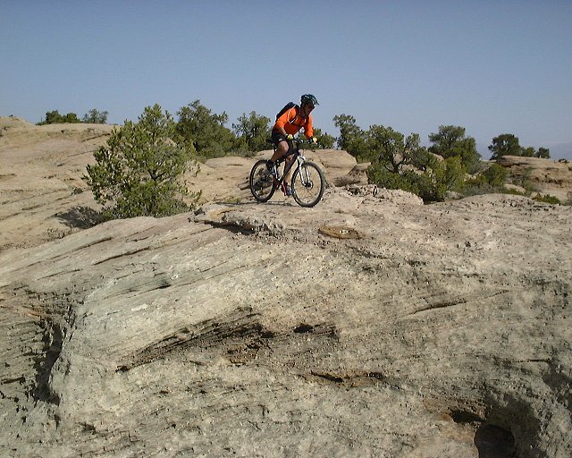
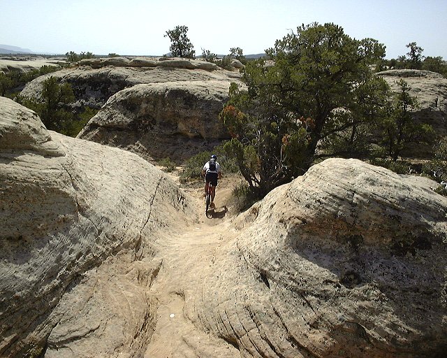
 Gary on the Hidden Canyon Trail.
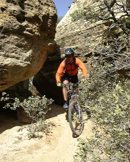 Gary exits a small tunnel on the Hidden Canyon Trail.
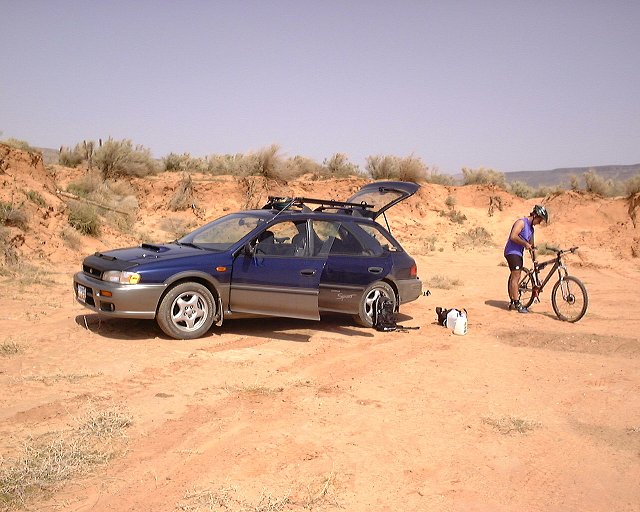 Start of J.E.M. Trail.
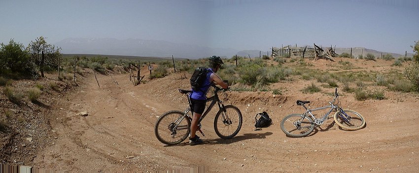 A small panorama with the wire fence on the second doubletrack.
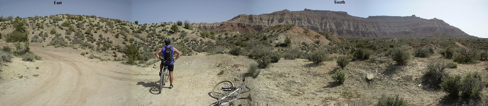 Panorama east-north from an intersection of the second and third doubletrack.
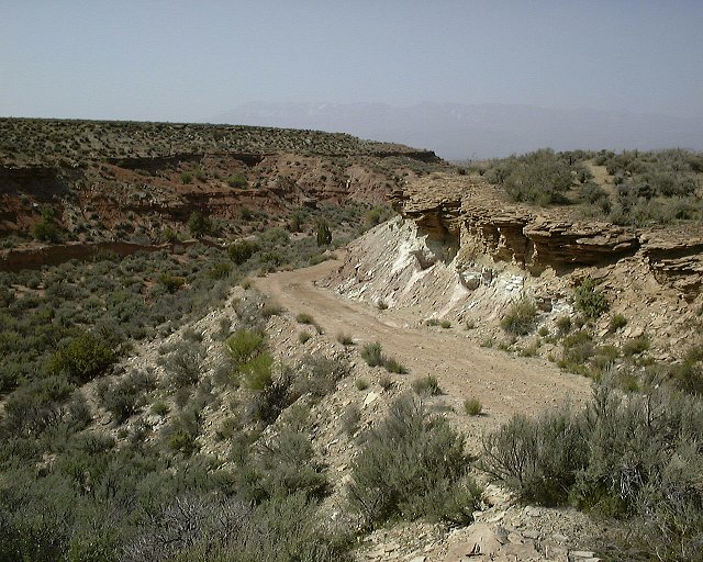 View down from the same intersection to where we came from.
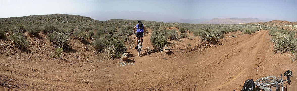 Panorama south from the start of the singletrack.
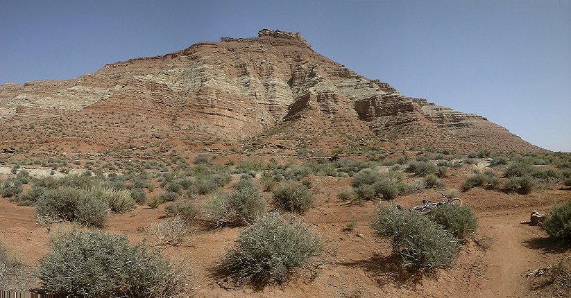 Panorama from the same spot north, towards Gooseberry Mesa.
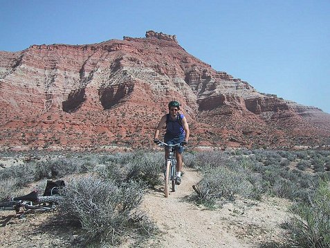 Me a bit down on the singletrack, Gooseberry Mesa in the background.
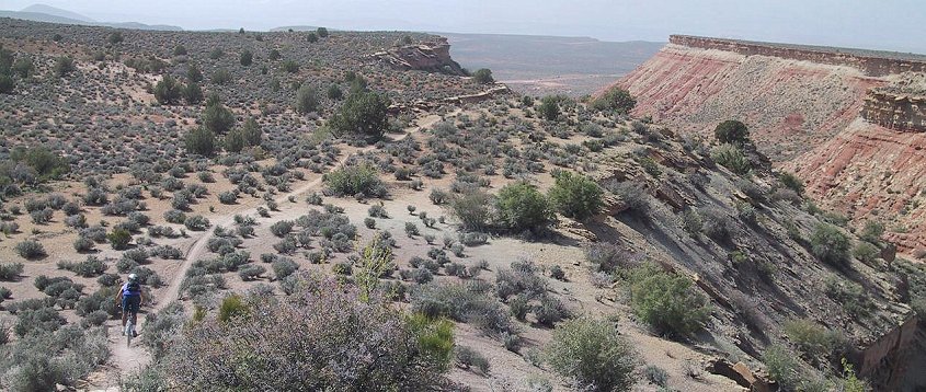 Going down from a small hill, on the right is the canyon into which the trail soon descends, and then continues south.
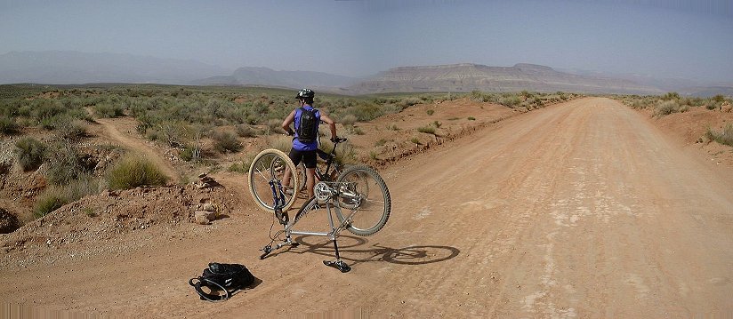 Panorama north from where the singletrack crosses Sheeps Bridge Road.
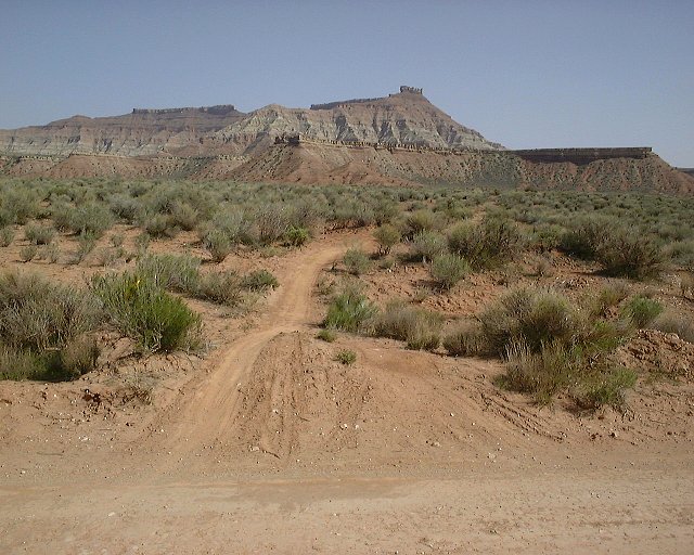 View from the same spot north.
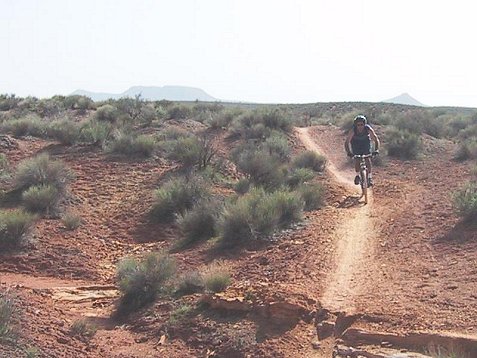 Crossing a small wash somewhat in the middle of the singletrack.
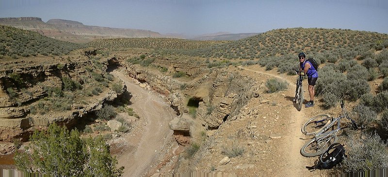 The trail above a small canyon, which it copies to its estuary to Virgin River.
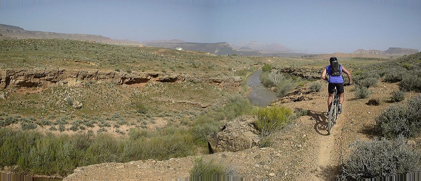 Trail on the Virgin River rim, view east.
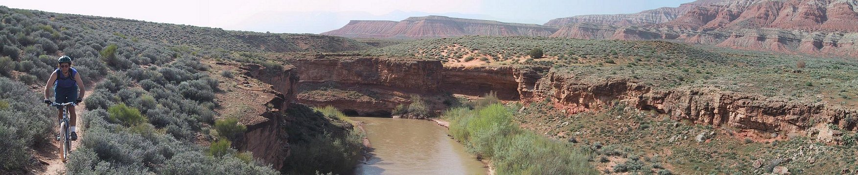 Me on the Virgin River rim, view west.
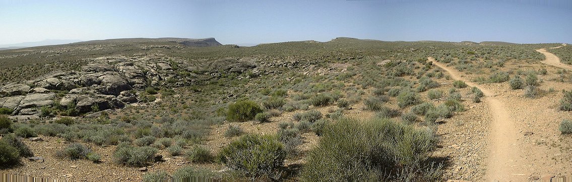 Panorama west from the singletrack climb to the viewpoint above Stucki Spring.
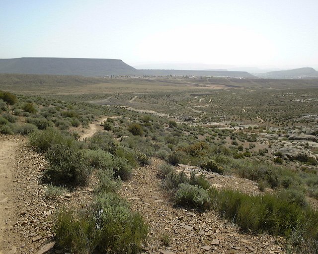 View from the same spot towards the area where we came from.
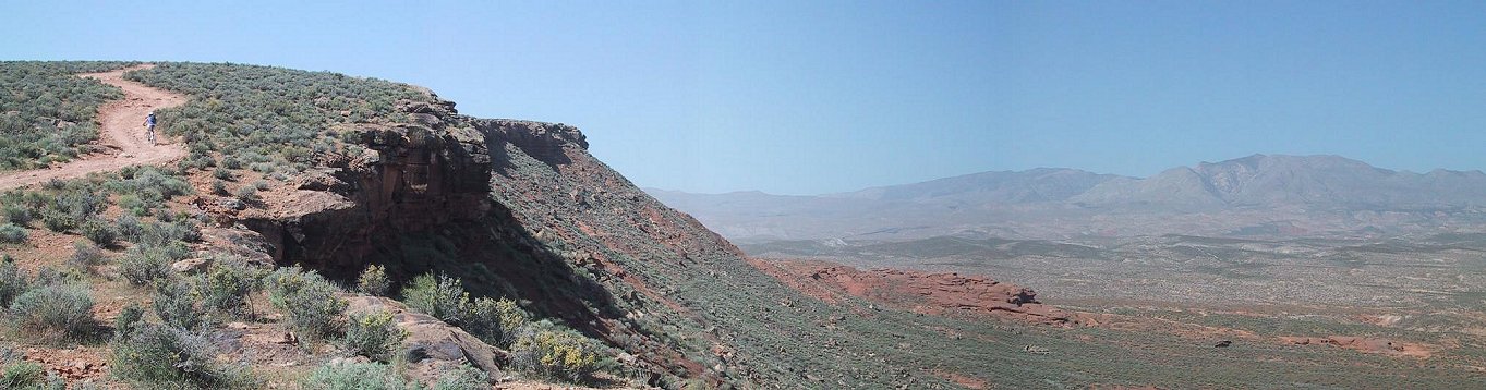 Panorama from under the last climb to the viewpoint above Stucki Spring towards west.
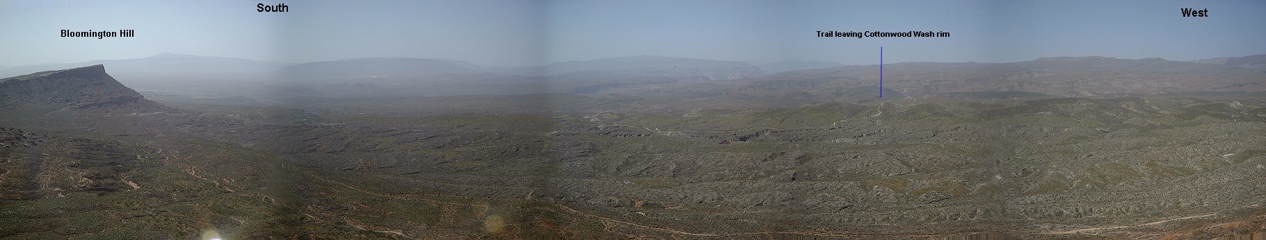
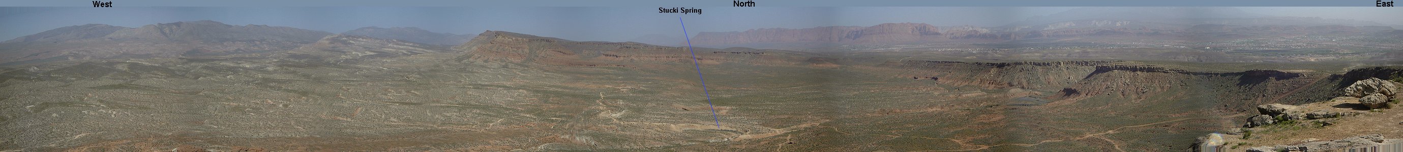 Panorama from the viewpoint above Stucki Spring.
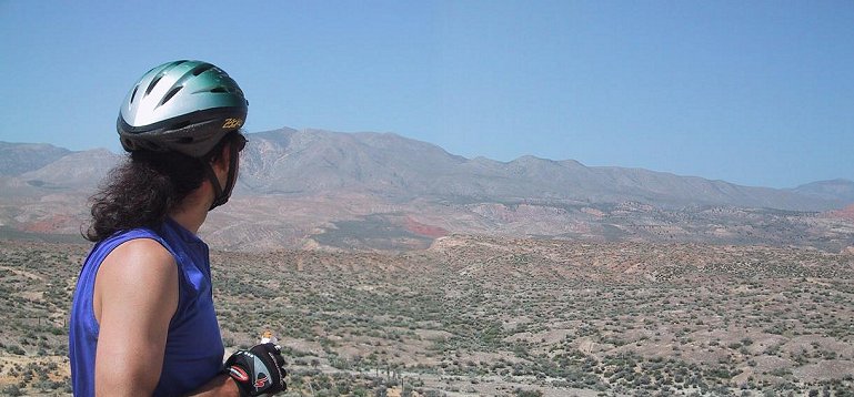 Panorama from the rim above Cottonwood Wash north-west.
 Panorama from the same spot, we came from the trail on left and then continued down on the trail in the middle of the picture.
 Panorama from under Clavice Hill, we came from the left.
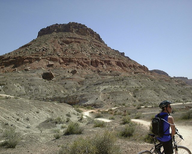 Hill east of Clavice Hill.
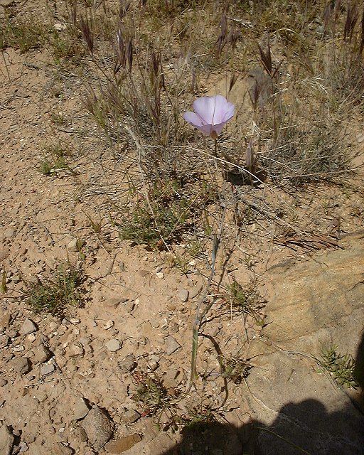 Spring flower beside the Powerline Road.
U of U / CHPC / Cuma / Travel / English / Mtn. bike in SW Utah 2
URL: http://voth.chem.utah.edu/~mcuma/goosb01e.html