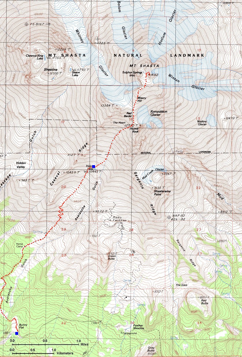
Mt. Shasta is the second highest of the Cascade volcanoes, reaching 14,162 ft. (4,317 m.). Since it's relatively southern location, it offers several relatively easy routes to the summit. We took the easiest and most common one, Avalanche Gulch on the southwestern side of the mountain. Although it does not travel on glaciers, there is a lot of snow and due to about 35 deg. slopes at places and frozen morning snow, crampons and ice axe are a must. This route starts at Bunny Flat Trailhead, at 6,860 ft. The distance to the summit is supposedly about 6 miles, and reasonably strong hiker should be able to do this roundtrip in a day. However, to guarantee success, we opted, as many others, to backpack up to Lake Helen, at 10,443 ft., in one day, and summit and walk down the other day. With backpack, it should take 3-4 hrs. to get to Lake Helen, about 3.5 miles from Bunny Flat. It's probably 3-6 hours from Lake Helen to the summit, 2-3 hrs back to Lake Helen and 2 hrs with backpack down to the trailhead. Here is the map of the route.
This trip was long planned, but in the end developed rather spontaneously. The weather forecast for the weekend we selected was not very promising until Thursday morning. After several frantic e-mails and phone calls with friends Udo and Dagmar in San Francisco, me and Dina decided to go for it. It turned out to be a good decision, the weather was excellent on Fri. and Sat., and it deteriorated on Sun. We did not care about this, though, since we were already moving eastward through the Great Basin.
Thu. 6/7 - Left SLC at 8pm and drove and drove. Finally stopped about 60 miles past Reno, Nv., after 8 hours of driving, in a small and cozy USFS campground off Milford, Ca.
Fri. 6/8 - Drove off at 6am, arrived to Mt. Shasta at 9am, got the rest of the equipment, met with Udo and Dagmar and drove to Bunny Flat Trailhead. At ca. 1pm hiked out of here to Helen Lake, where we got at ca. 5pm. Made a camp on the snow, melted snow, cooked dinner, almost run out of the fuel. Finally got to bed at around 9pm, when it was starting to freeze.
Sat. 6/9 - Hiked up Mt. Shasta, got up at 4am into a freezing morning, hiked out at 5.30am. Reached top of Red Banks in ca. 3 hours, and summit at 11am (walking rather slowly). Hanged out at the summit for 30 min, walked down to Red Banks and from here glissaded over 2000 ft. vertical back to Lake Helen. Dried our behinds, packed up and left at ca. 4pm, arriving at the trailhead at ca. 6pm. Drove down to Mt. Shasta town, got a big dinner and a motel room to get a good rest before the drive home.
Sun. 6/10 - Drove home. Left Mt. Shasta at ca. 9am MST, arrived to Reno at 12.30pm MST, spent 1.5 hrs looking for and shopping at Trader Joe's. Left Reno at 2pm MST, arrived at Salt Lake at 9pm.
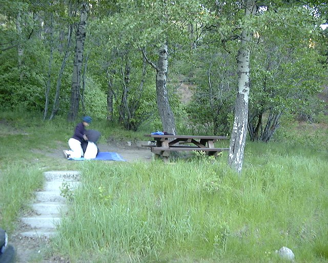
1. Packing at the forest campground in the eastern Sierra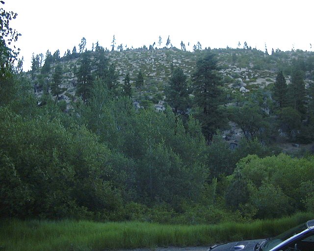 2. View up to the hill above the campgound.
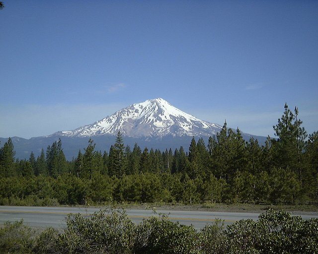 3. View on the southern side of Mt. Shasta from a viewpoint on Hwy. 89.
 4. Toilet at the Bunny Flat trailhead.
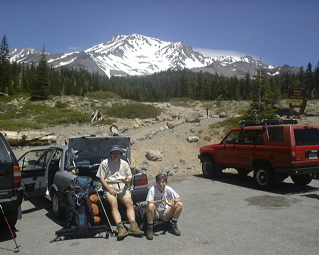 5. Udo and Dagmar getting ready for the hike out, Avalanche Gulch in the background.
 6. Avalanche Gulch from the trail right above Bunny Flat.
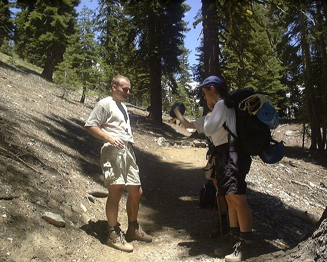 7.-8. A rest stop about 2/3 of the way to Horse Camp
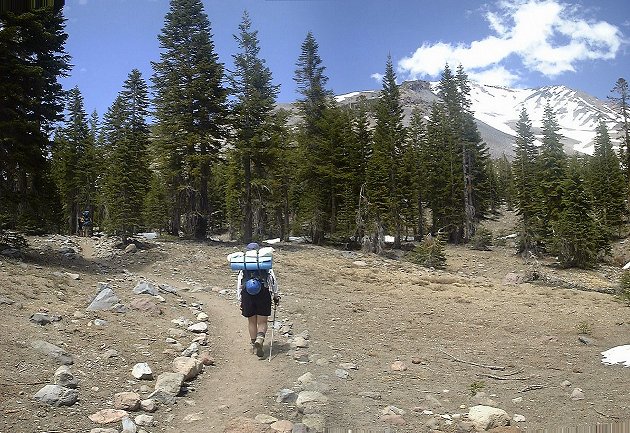 9. Closing to Horse Camp, near the tree line.
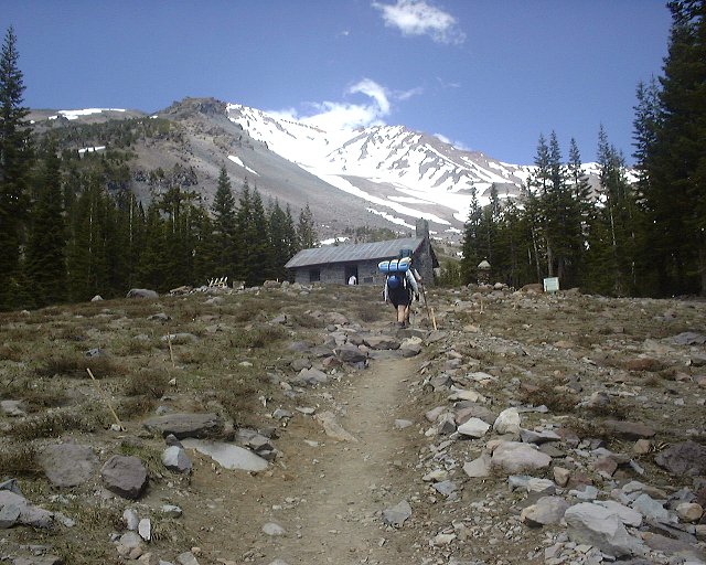 10. The hut at Horse Camp with Avalanche Gulch in the background.
 11. Spring at Horse Camp, with excellent water.
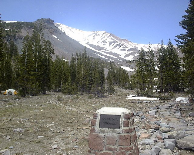 12. View up the trail from Horse Camp, for a while, one has to walk on this rocky causeway.
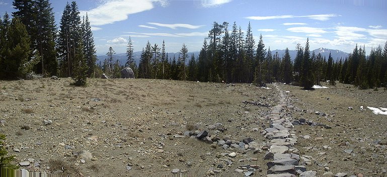 13. View from the causeway down towards Horse Camp.
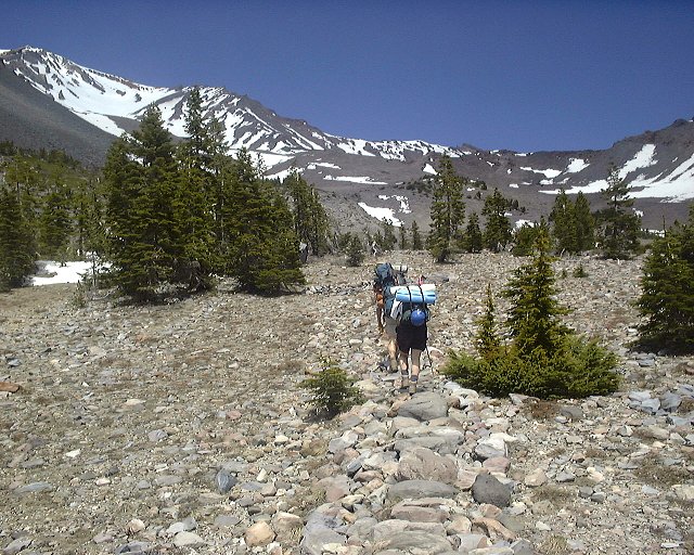 14. View up the causeway from the same spot.
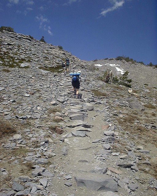 15. Climbing up the first steeper section above Horse Camp.
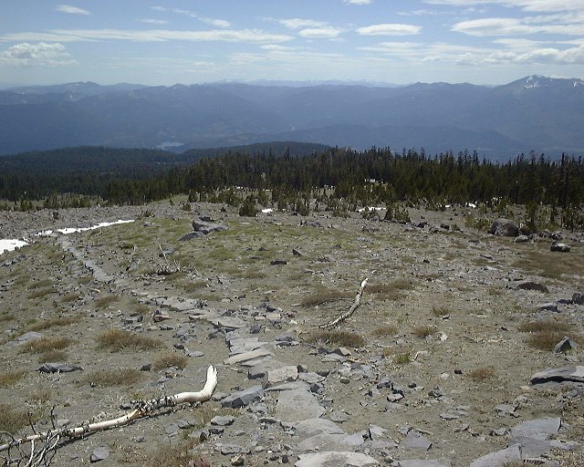 16. View down from the same spot.
 17. Continued climb up a small gully.
  18. View to lower Casaval Ridge from the trail.
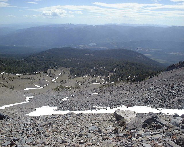 19. View down towards Horse Camp from the first climb.
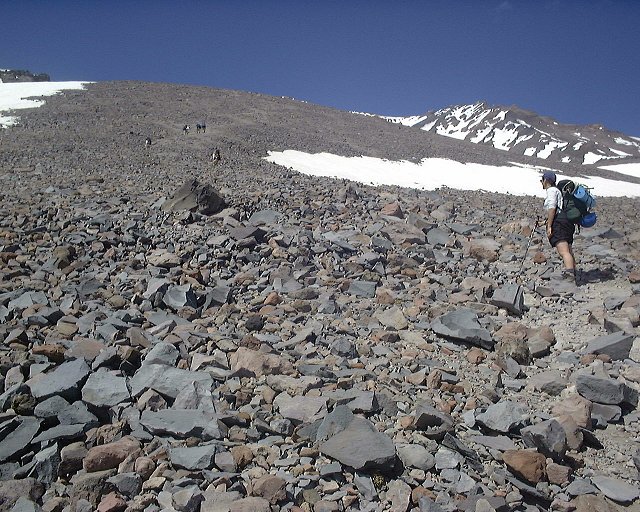 20. View up the hill that climbs to 50/50 plateau.
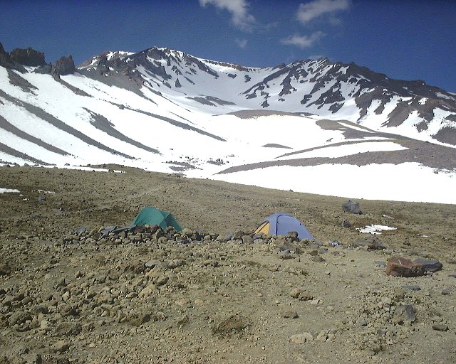 21. 50/50 plateau, half way between Horse Camp and Lake Helen. View up Avalanche Gulch.
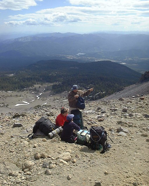 22. Resting at 50/50 plateau, looking down the gulch.
 23. Walking up the snow covered gully towards Lake Helen.
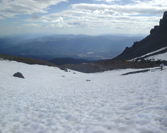 24. View down from the same spot.
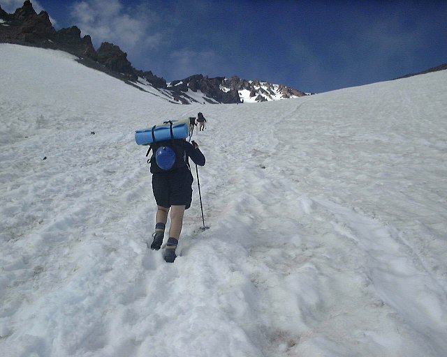 25. The steepest section of the gully right below Lake Helen.
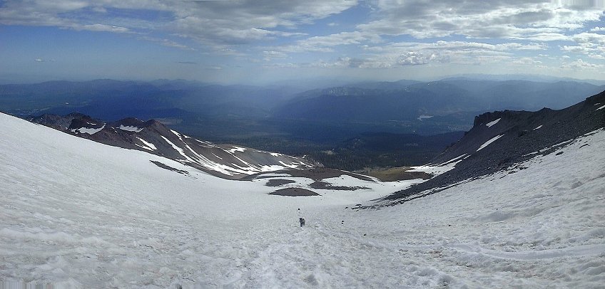 26. View from the same spot down the gulch.
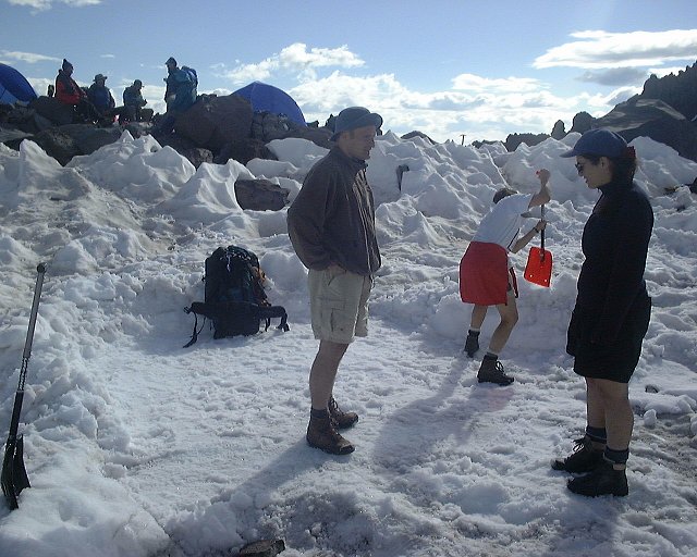 27. Making a campspot at Lake Helen.
 28. The top of the mountain clouded up in the late afternoon.
 29. At the camp during the dinner preparation.
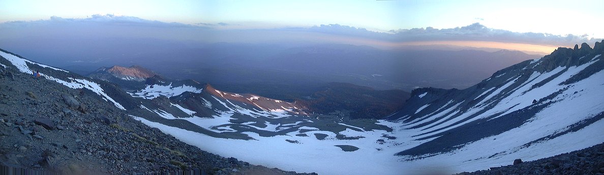 30. Sunset panorama from Lake Helen south
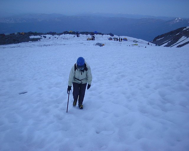 1. Starting the climb at Lake Helen, the campspot in the background.
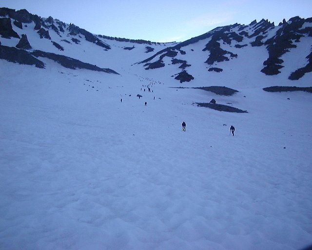 2. View up Avalanche Gulch from the same spot, loads of people were up already, and more were coming.
 3. Early morning view down Avalanche Gulch, below Lake Helen, in the middle Mt. Shasta town.
 4. View up Avalanche Gulch towards Red Banks about 1/2 hr. above Lake Helen.
 5. The sun already shines down in the valley at 6.10am, but it's freezing cold in the gulch.
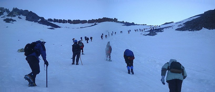 6. About half way up Avalanche Gulch, view up, with Red Banks chimneys nicely visible.
 7. View down Avalanche Gulch at 6.50am, the sun lights most of the valley.
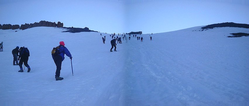 8. From right below The Heart, view up towards eastern Red Banks and Thumb Rock.
 9. Walking through the eastern Red Banks, the last chimney was in pretty good shape and easy to walk through.
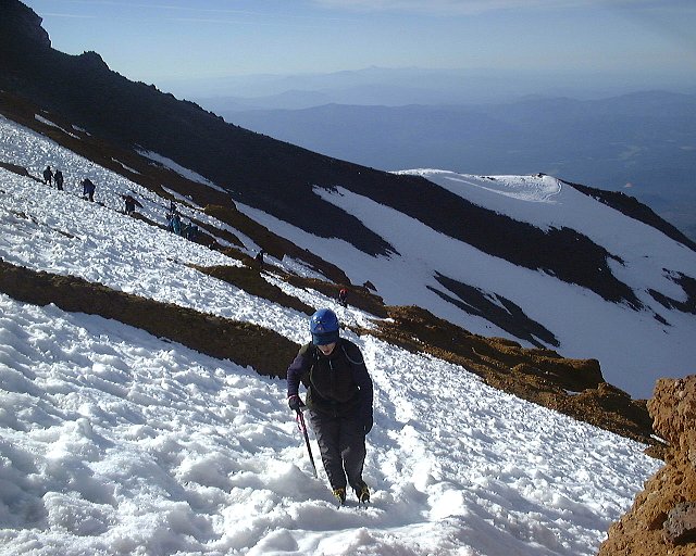 10. Walking above Red Banks, view south towards Sargents Ridge.
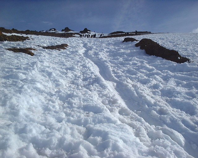 11. View up from the same spot, towards the top of the slope above Red Banks.
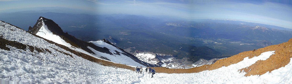 12. View down towards Red Banks from above.
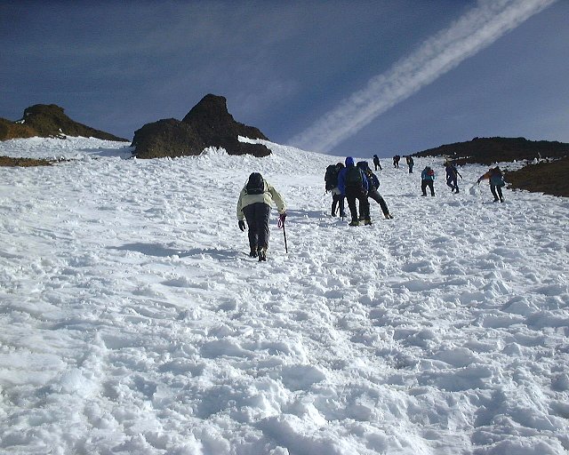 13. Walking up above Red Banks towards the base of Misery Hill.
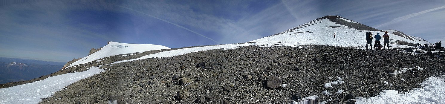 14. View up to Misery Hill from a small plateau about 500 m. above Red Banks.
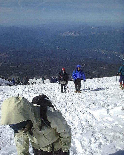 15. View down from the base of Misery Hill.
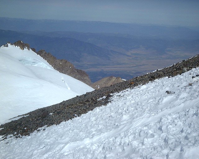 16. First view of the large crevasse on the top of Whitney Glacier, west of Misery Hill.
 17. View down the trail from climb up Misery Hill.
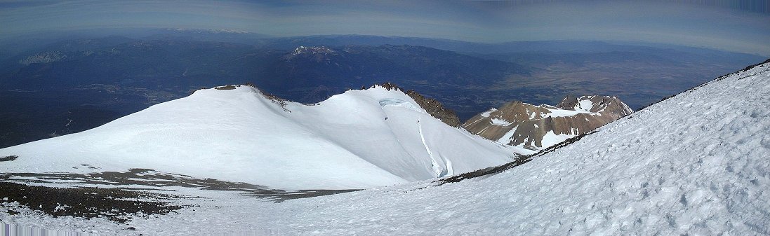 18. Panorama west from mid Misery Hill, Shastina on the right, Whitney Glacier in the middle.
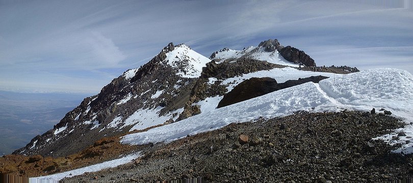 19. Summit view from the top of Misery Hill.
 20. View to Shastina and Whitney Glacier from top of Misery Hill.
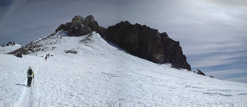 21. Summit pinnacle from the plateau.
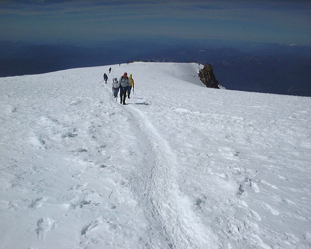 21. On the summit plateau, view down the trail.
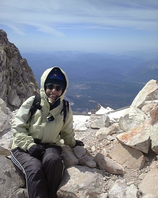
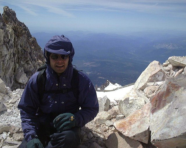 22-24. Shot of us on the summit.
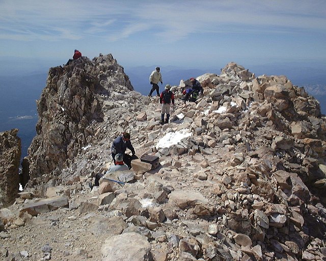 25. The summit from its northern side.
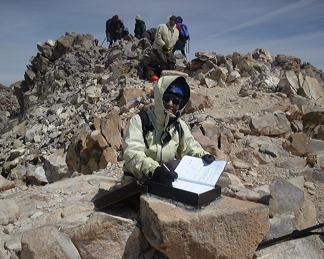 26. Signing the guest book.
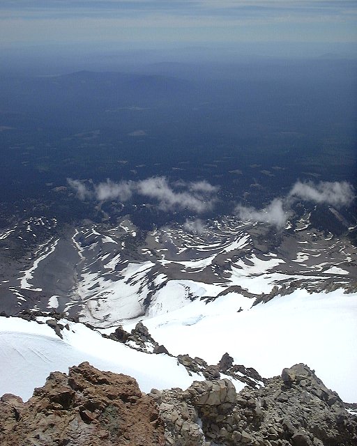 27. View east, onto Wintun Glacier.
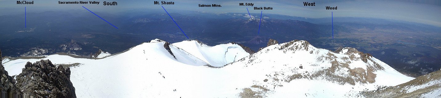
 28-30. Segmented panorama from the summit.
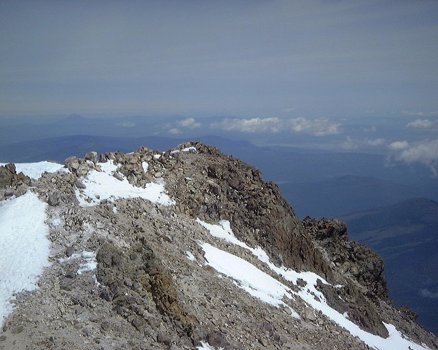 31. Zoomed view north from the summit, Mt. McLaughlin in the distance.
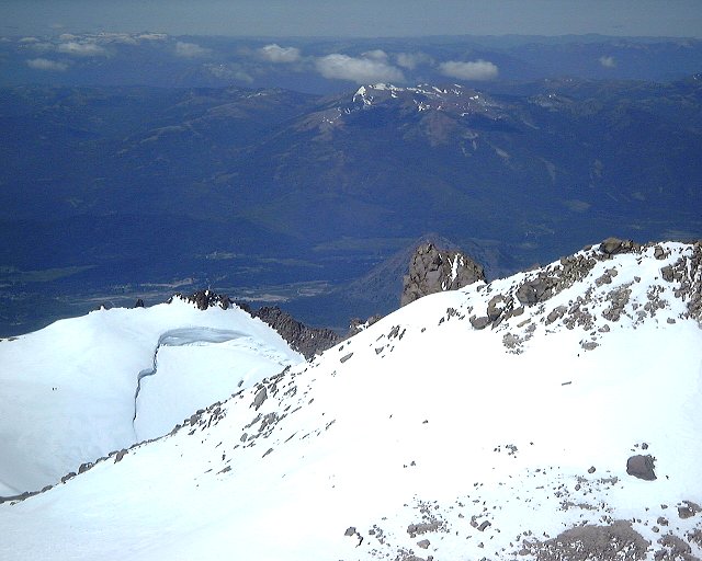 32. Zoomed view southwest, towards Mt. Shasta town.
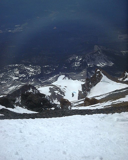 33. View down east to Wintun Glacier from the summit plateau.
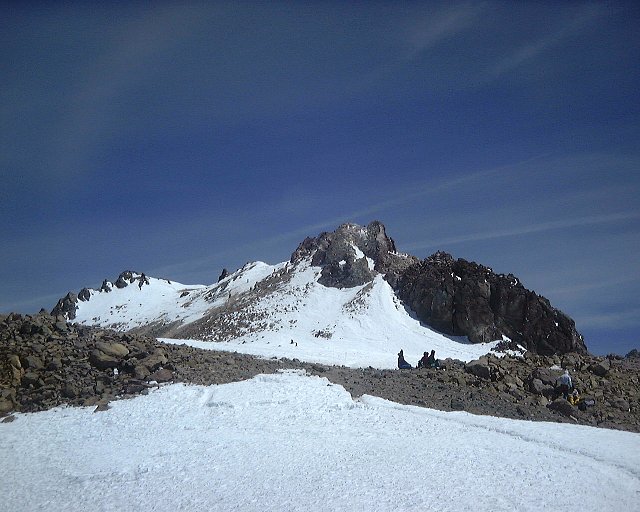 34. Zoomed view to the summit pinnacle from the top of Misery Hill.
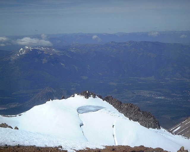 35. Zoomed view west to Whitney Glacier and Mt. Shasta town from Misery Hill.
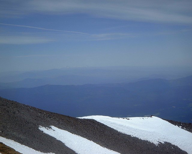 36. Zoomed view south, with Lassen Peak faint in the distance.
 37. View down Avalanche Gulch from the start of the glissade.
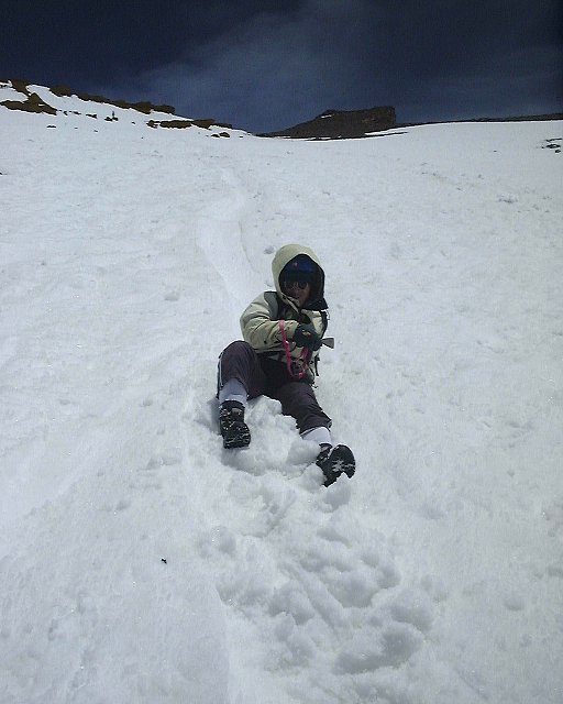
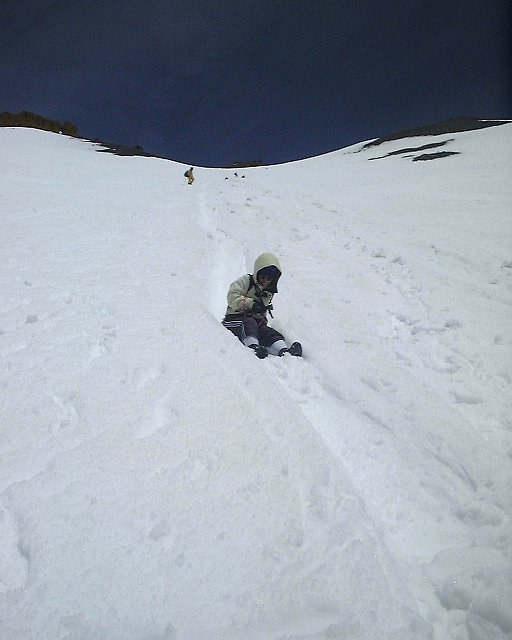
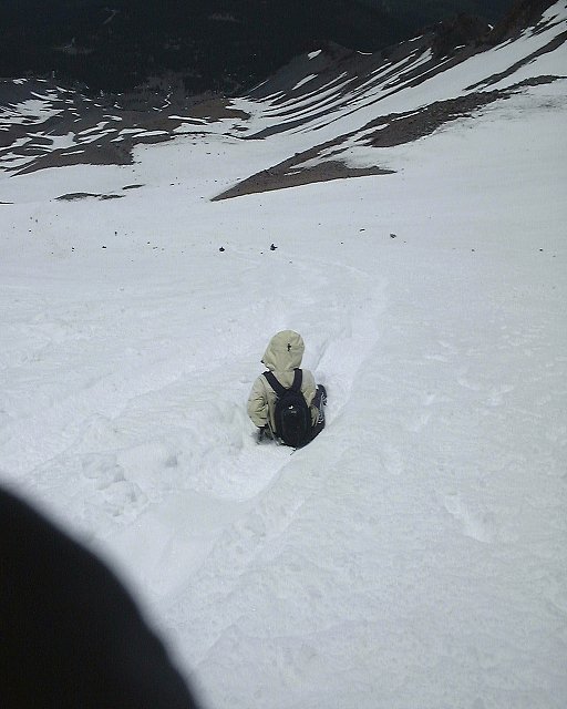 38-40. Few glissading shots.
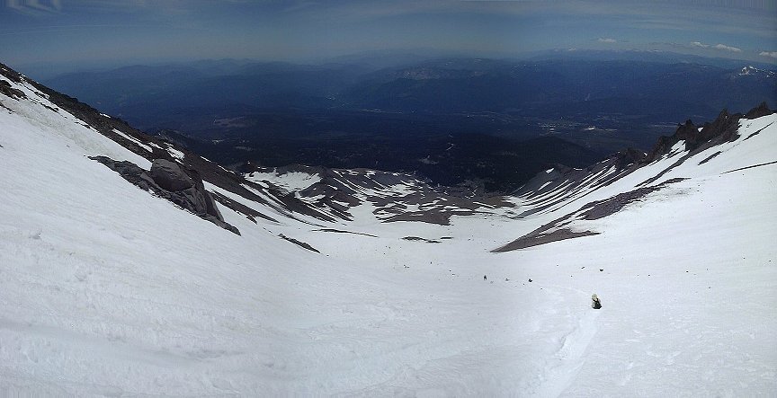 41. Panorama of Avalanche Gulch about 1/2 mile above Lake Helen from the glissade down.
 42. Packing up the camp.
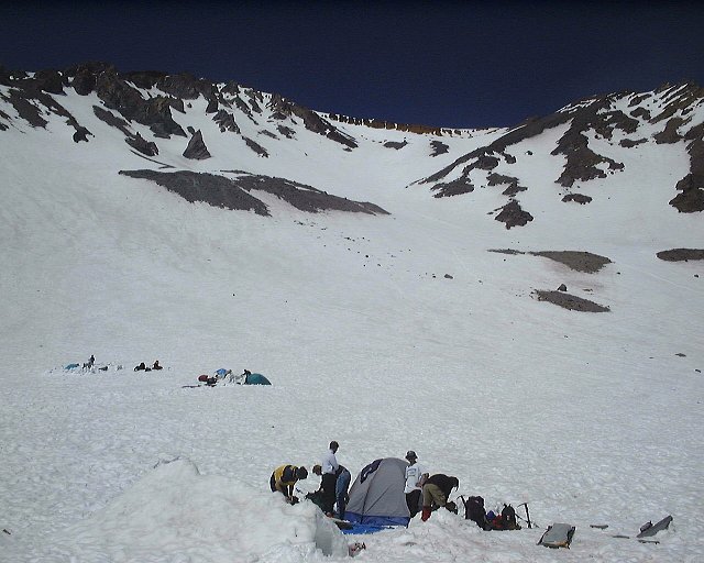 43. View up Avalanche Gulch from the camp in the mid-afternoon.
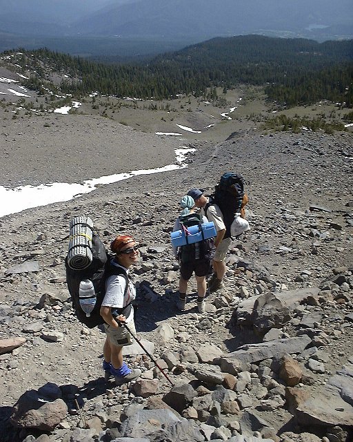 44. On the walk down to Horse Camp.
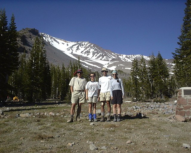 45. Group photo at Horse Camp.
 1. Morning view to the mountain from the motel where we stayed.
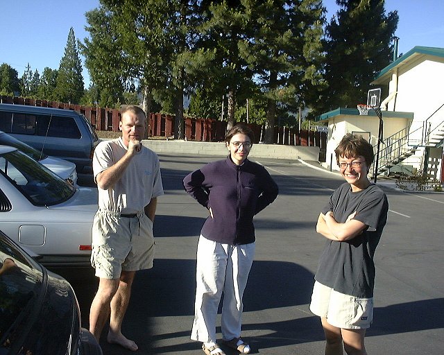 2. Goodbye shot at the motel.
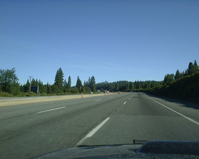 3. On I5 north near to Mt. Shasta town.
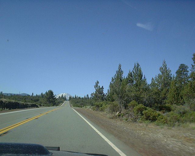
 4-5. Two views at Lassen Peak from Hwy. 89.
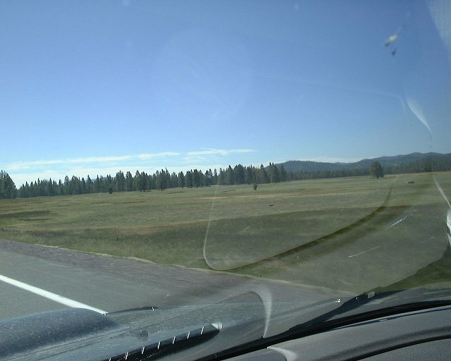 6. Alpine meadow in the mountains above Susanville.
 7. View towards the hills about 30 miles east of Susanville, where we stayed Thu. night.
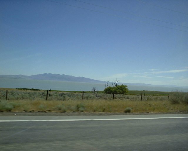 8. Honey Lake, which the road copies outside of Susanville.
U of U / Chemistry / CHPC / Cuma / Travel / English / Mount Shasta
URL: http://www.chpc.utah.edu/~mcuma/shasta01e.html