Here is the map of the trail system that I have compiled from several sources. It's not exact, but should give an idea.
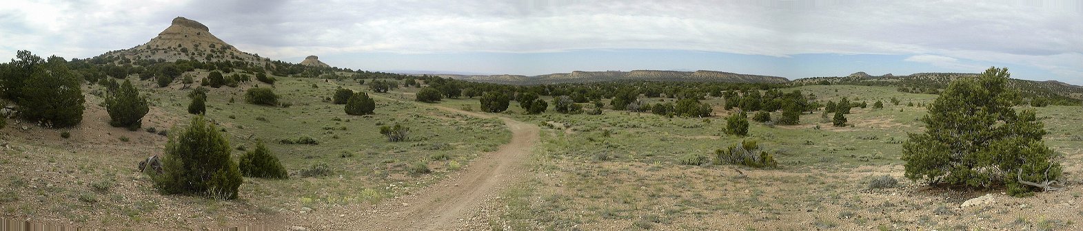
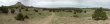 1. Panorama with Twin Knolls from the jeep road just above the Red trail trailhead.
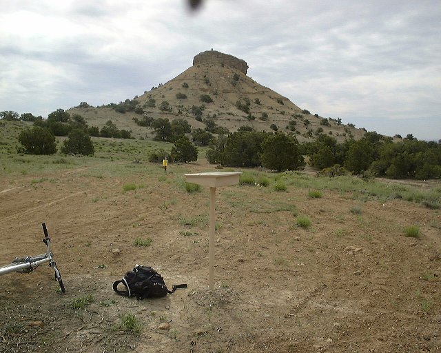
 2. View towards the eastern Knoll with the trail registration box.
 3. Soon after the trailhead, the trail turns into a slicrock mess like this.
 4. One example of what I did not have the guts to ride, rock slab covered with sand and loose rock ending in about 20 cm deep sand pit.
 5. After that follows about 20 m of easily ridable terrain.
 6. Another of the many tricky sections, ending in another sand pit.
 7. About 2/3 way through between the trailhead and Iron Wash, on a top of a small but tricky ascent.
 8. Steep descent into Iron Wash. I have carried my bike here as well.
 9. Iron Wash floor, mix of loose small gravel, sand and occasional rock slabs. The gravel and sand were churned up by the motorcycles, which required a lot of pushing.
 10. Exit from Iron Wash, another example of too loose surface on which it was hard to climb.
 11. Sign pointing to Iron Wash on its southern side.
 12. Junction of Red and Orange trails.
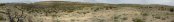 13. Panorama from a hill nearby, where Orange trail descends to meet with Blue trail.
 14. Junction of Orange trail and Blue trail.
 15. View south from Orange trail about 1/2 mile past the junction with Blue trail, Temple Mountain is visible for the first time.
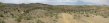 16. Panorama south and east a bit further, with a nice descent towards the wash and junction with Green trail.
 17. Small wash which the trail follows for about 1 mile before junction with the Green trail, view up.
 18. View down from the same spot.
 19. Me at the junction of Orange and Green trail, I was met there by two bikers, the only people I have seen on the trail that day.
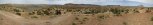 20. Panorama of San Rafael Reef from about 1/2 mile past the Green trail junction.
 21. Trail registration box in the canyon north of North Temple Wash (Farnsworth Canyon).
 22. View south towards Temple Mtn. from a 4WD road connecting North Temple Wash and Farnsworth Cyn.
 2. View towards the eastern Knoll with the trail registration box.
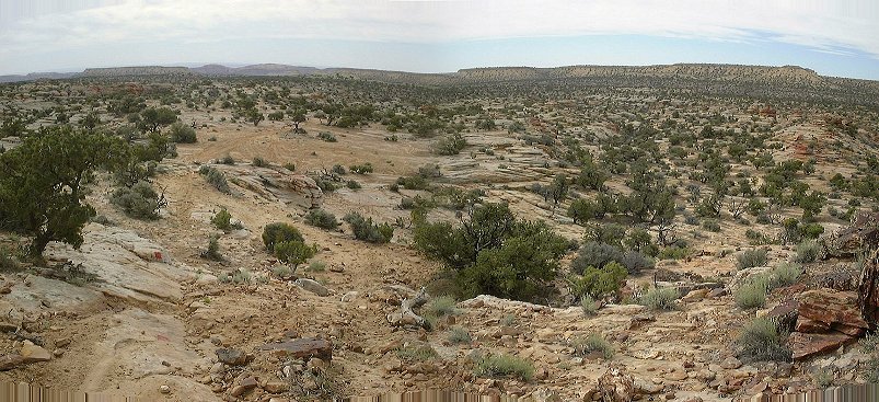 3. Soon after the trailhead, the trail turns into a slicrock mess like this.
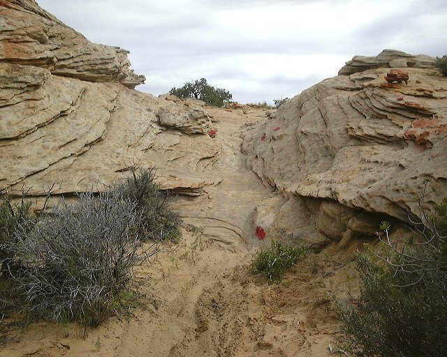 4. One example of what I did not have the guts to ride, rock slab covered with sand and loose rock ending in about 20 cm deep sand pit.
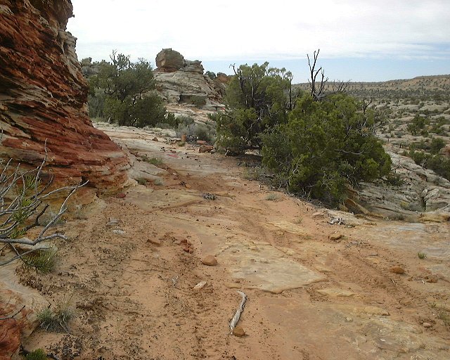 5. After that follows about 20 m of easily ridable terrain.
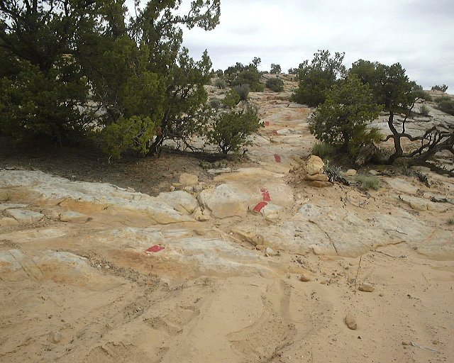 6. Another of the many tricky sections, ending in another sand pit.
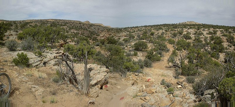 7. About 2/3 way through between the trailhead and Iron Wash, on a top of a small but tricky ascent.
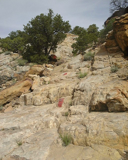 8. Steep descent into Iron Wash. I have carried my bike here as well.
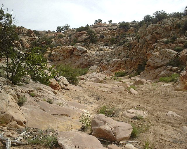 9. Iron Wash floor, mix of loose small gravel, sand and occasional rock slabs. The gravel and sand were churned up by the motorcycles, which required a lot of pushing.
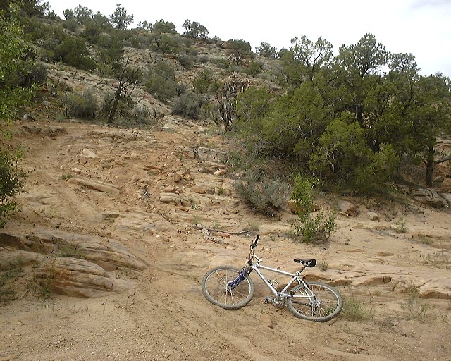 10. Exit from Iron Wash, another example of too loose surface on which it was hard to climb.
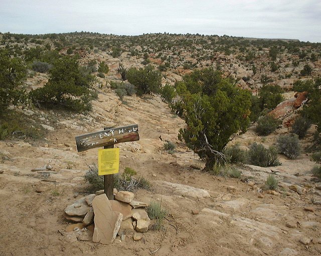 11. Sign pointing to Iron Wash on its southern side.
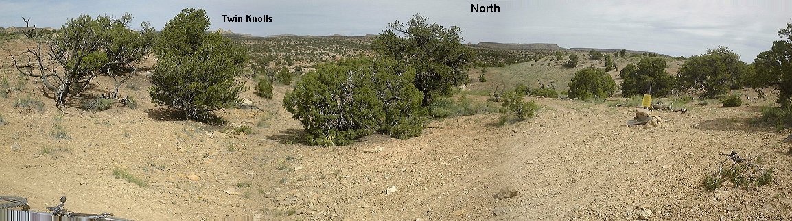 12. Junction of Red and Orange trails.
 13. Panorama from a hill nearby, where Orange trail descends to meet with Blue trail.
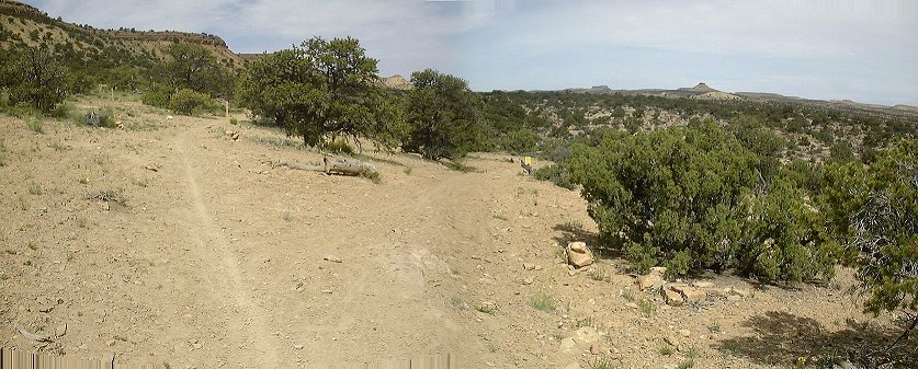 14. Junction of Orange trail and Blue trail.
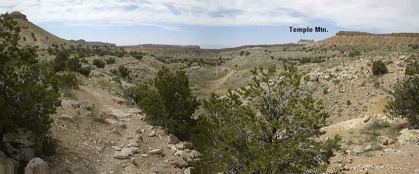 15. View south from Orange trail about 1/2 mile past the junction with Blue trail, Temple Mountain is visible for the first time.
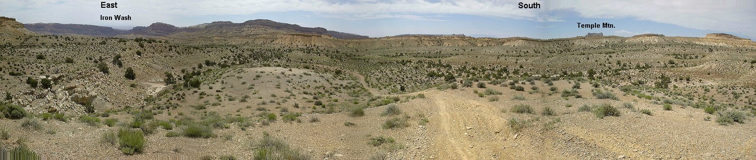 16. Panorama south and east a bit further, with a nice descent towards the wash and junction with Green trail.
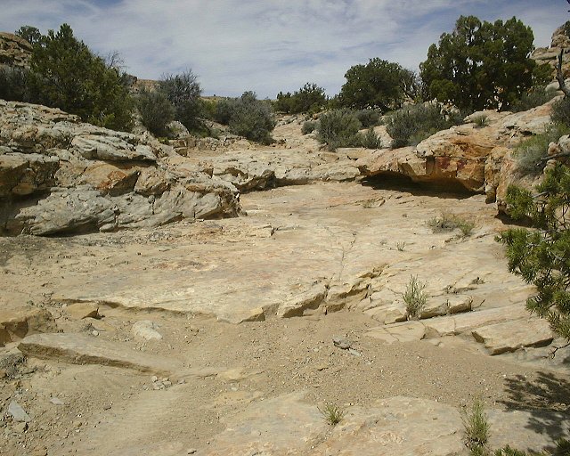 17. Small wash which the trail follows for about 1 mile before junction with the Green trail, view up.
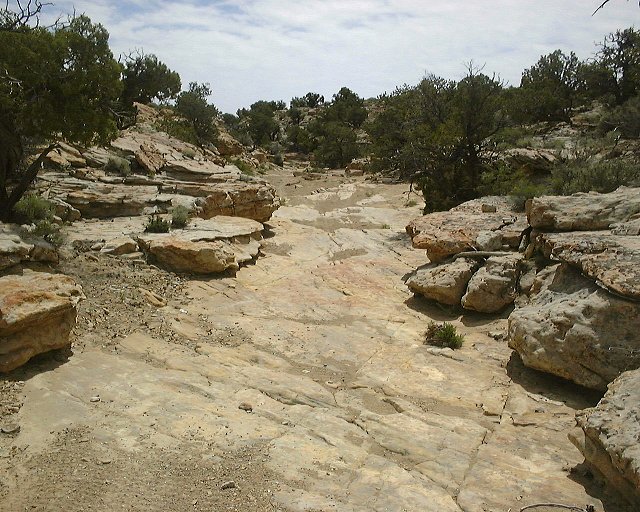 18. View down from the same spot.
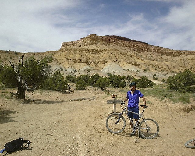 19. Me at the junction of Orange and Green trail, I was met there by two bikers, the only people I have seen on the trail that day.
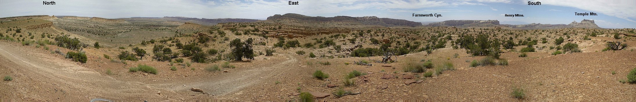 20. Panorama of San Rafael Reef from about 1/2 mile past the Green trail junction.
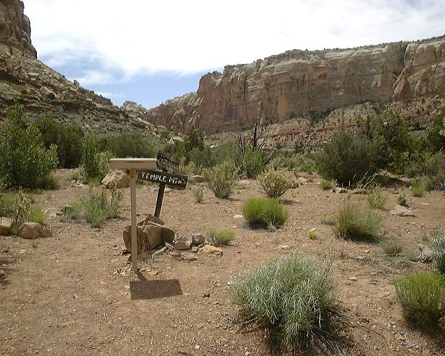 21. Trail registration box in the canyon north of North Temple Wash (Farnsworth Canyon).
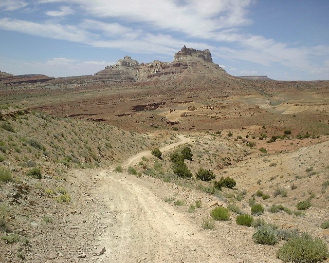 22. View south towards Temple Mtn. from a 4WD road connecting North Temple Wash and Farnsworth Cyn.