Skyline Wilderness Park ride map and pictures
Here is the map of my tracks as taken by the GPS and plotted using the demo version of Topofusion (260 kB), and here is the elevation profile.
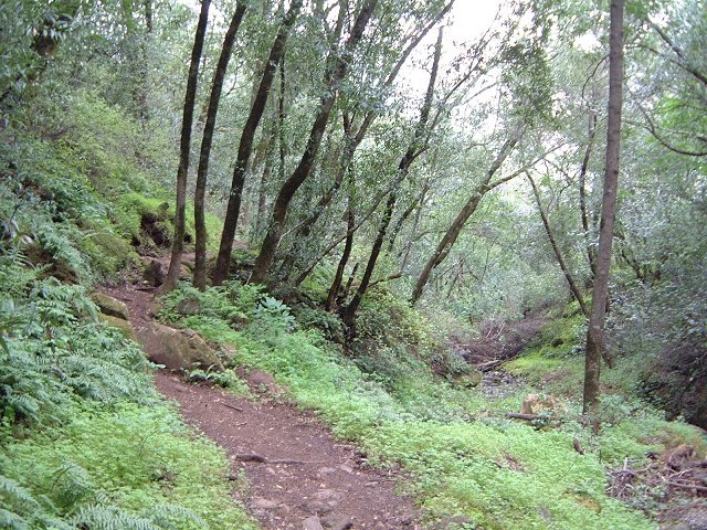
I rode a double loop through the park, which is relatively small. First up Lake Marie road, then down Skyline Trail (quite enjoyable), then half up Lake Marie rd. again, and onto Marie Creek trail, which follows up the creek in a bit tougher singletrack. Then loop over Lake Marie, and down again on Marie Creek and Manzanita Trails. One may climb up Skyline and Buckeye trails once instead of riding the Lake Marie road, but, the weather did not look too good, so, I decided to skip this option.
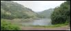
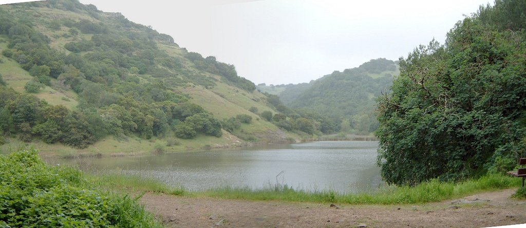
Lake Marie in a drizzle during the first loop through the park.
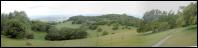
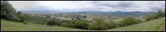
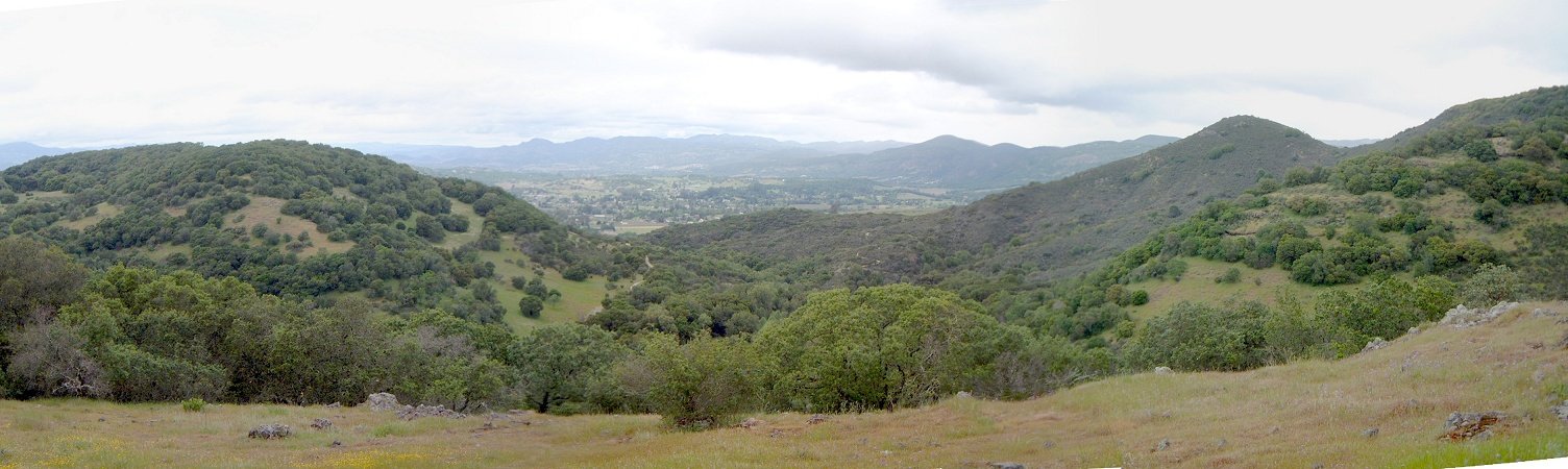
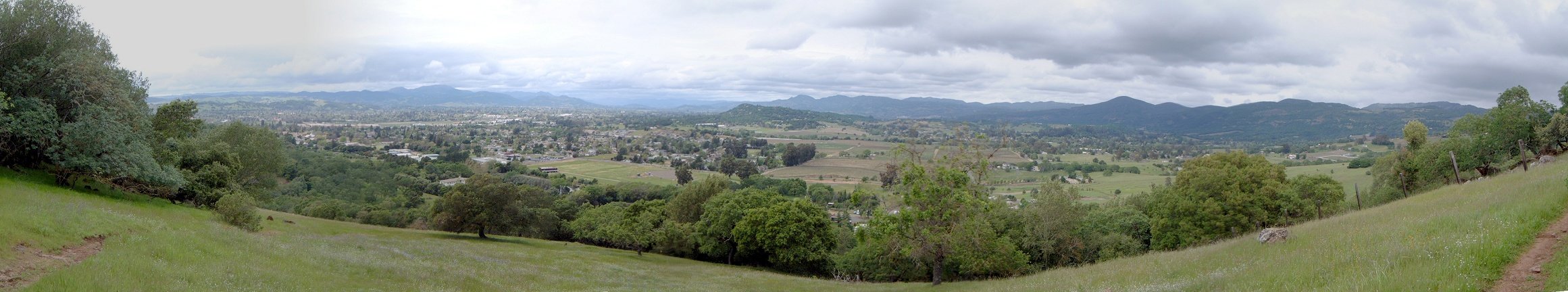
Panorama mostly to Napa valley and town of Napa while descending the Skyline singletrack.
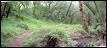

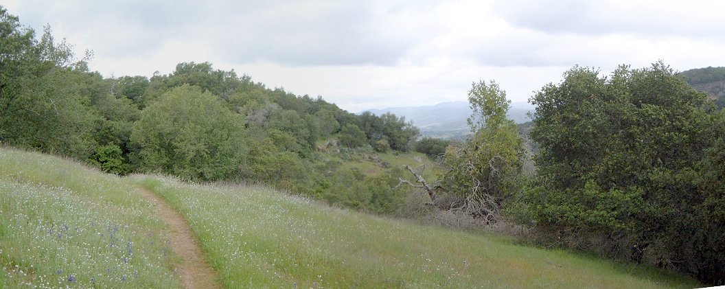
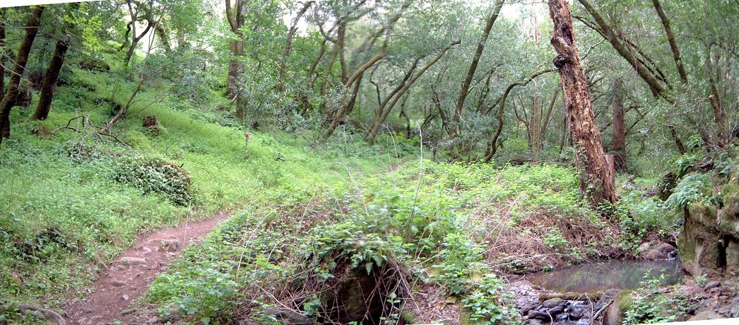
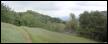
Marie Creek trail follows the creek.
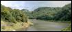
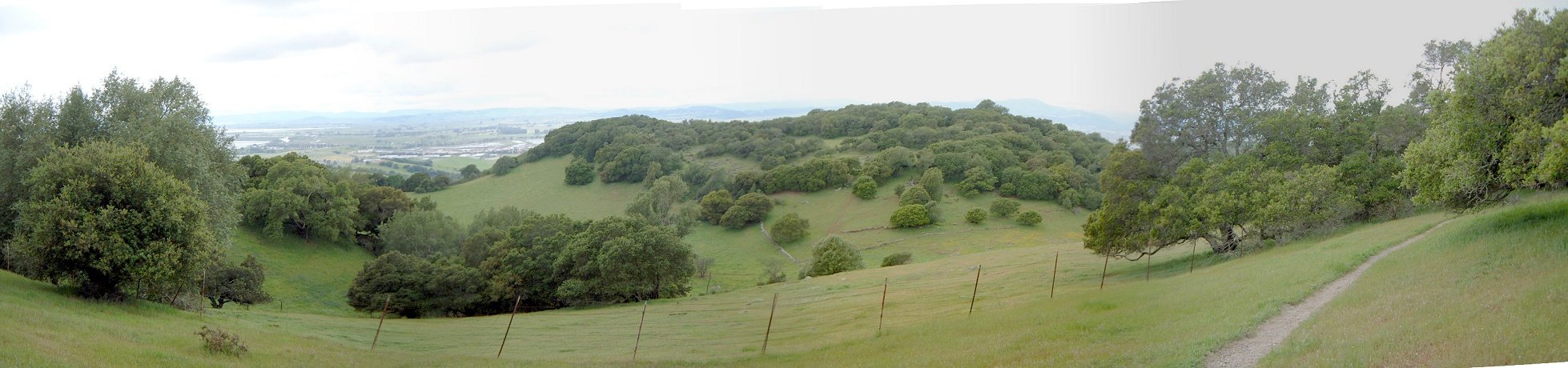
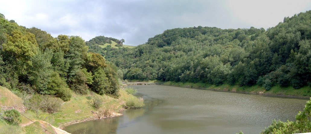
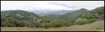
Lake Marie on the second loop visit, the weather started to break up at this point.