An epic ride planned a long time ago, finally materialized. In fact, I have spent considerable time only in three resorts, Snowbird, Alta
and Solitude. I touched on Park City and The Canyons while on the Wasatch Crest,
and skipped Brighton, since I opted for some nice Solitude singletrack
instead.
I decided to dedicate this ride to the 60th anniversary of the nazi Germany attack on Soviet Union, which was the day before, June 22. A thought to this was given to me by an NPR program I listened to while driving to the ride start. For sure self-inflicted pain such as that caused by rides like this is nothing compared to the horrors of wars. Thoughts like this were a mental boost that helped to finish the ride in good spirit.
Distance 85.9 km, Elevation climbed 3020 m, ride time 6 hr. 40 min, total time (including breaks) 9 hr. 40 min., drank 5 l of water and 1.5 l of sports drinks, ate 2 sandwiches and 5 granola bars.
For the non-metric barbarians, distance 53.4 miles, elevation climbed 9908 ft.
| Place | Ride Time | Cummulative | Cummulative | Elevation (m) | Time |
| Distance (km) | Vertical (m) | ||||
| Bottom of Big Cottonwood | 0:00 | 0 | 0 | 1500 | 7:40 |
| Start of Little | |||||
| Cottonwood Pipeline | 0:20 | 6.5 | 170 | ||
| Top of Little | |||||
| Cottonwood Pipeline | 0:50 | 14.6 | 370 | ||
| Start of Hidden | |||||
| Peak Climb | 1:30 | 20.3 | 1040 | 9:30 | |
| Hidden Peak | 2:35 | 26.5 | 1710 | 3100 | 11:00 |
| Mineral Basin | 2:50 | 30.5 | 1710 | ||
| Sugarloaf Pass | 3:15 | 32.3 | 2000 | 12:10 | |
| Alta | 3:35 | 38.6 | 2025 | 2500 | 12:35-13:00 |
| Twin Lakes Pass | 4:10 | 42.7 | 2390 | 2830 | 13:50 |
| Solitude | 4:50 | 50.2 | 2430 | 2370 | 14:45-15:10 |
| Guardsman Rd. | |||||
| Turnoff | 5:00 | 52.5 | 2560 | ||
| End of pavement | 5:15 | 55.9 | 2703 | ||
| Scotts Pass 2 | 5:30 | 57.8 | 2890 | 2810 | 15:50-16:00 |
| Mill D T-head | 6:20 | 71.1 | 3020 | 2150 | 17:00 |
| Bottom of Big | |||||
| Cottonwood | 6:40 | 85.9 | 1500 | 17:20 |
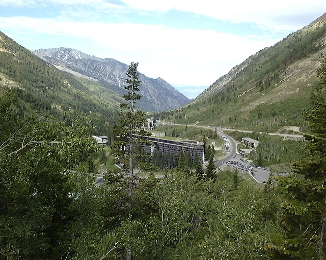
View west to Snowbird and out of Little Cottonwood from where the dirt track to Hidden Peak starts.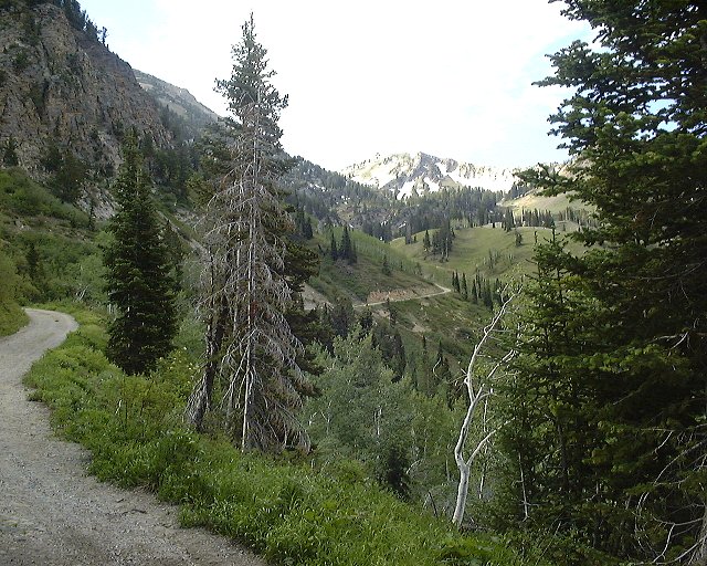 View towards Hidden Peak from the same spot.
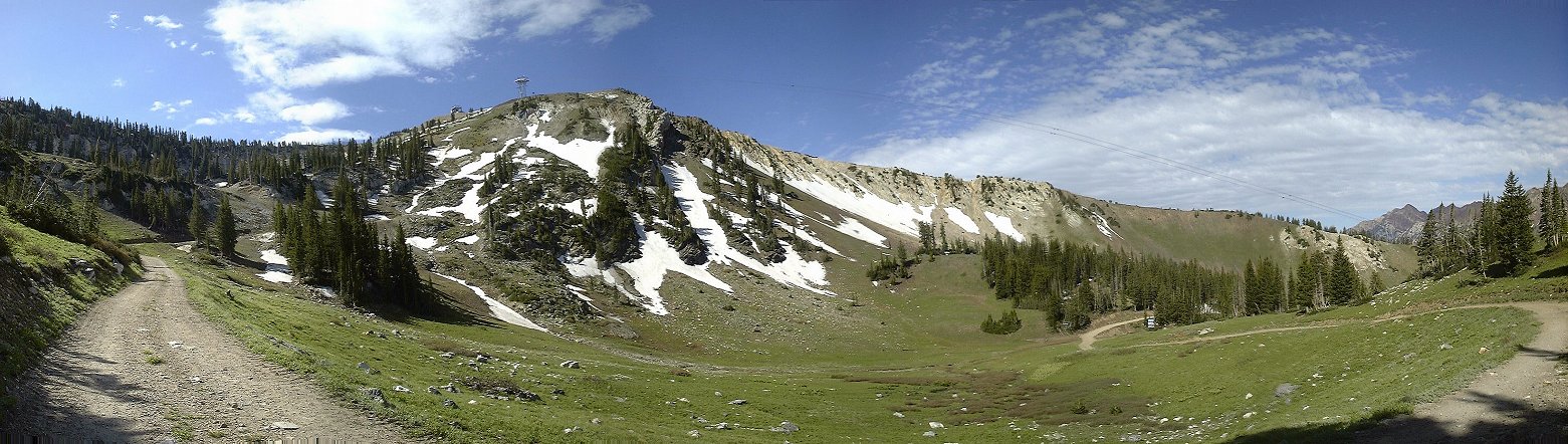 Panorama with Hidden Peak and its northern ridge from upper Peruvian Gulch.
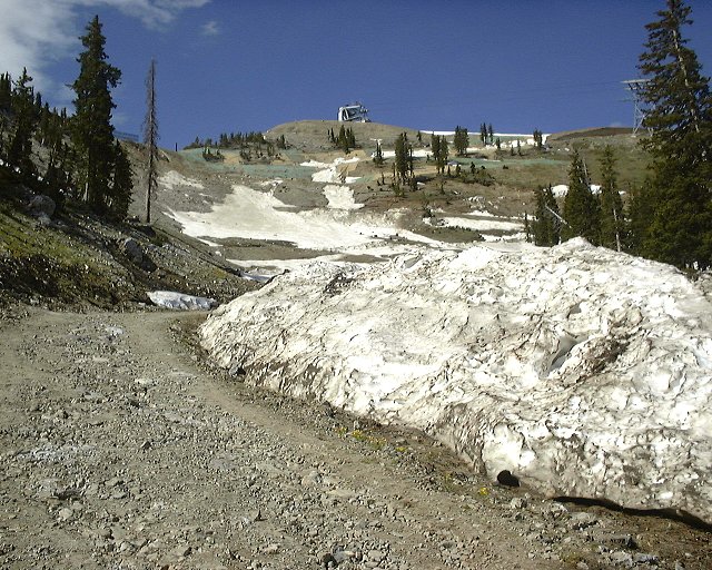 View to the Hidden Peak summit from the snowbanked switchbacks.
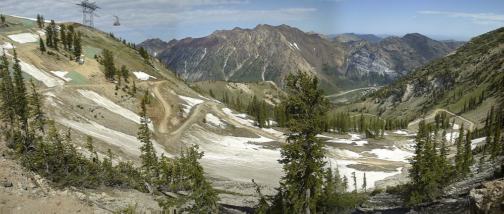 View down Peruvian Gulch from the pass east of Hidden Peak.
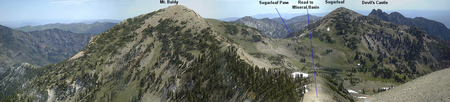 View east from Hidden Peak summit.
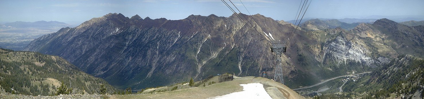 View north from Hidden Peak summit.
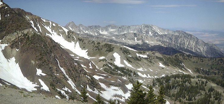 View west from Hidden Peak summit.
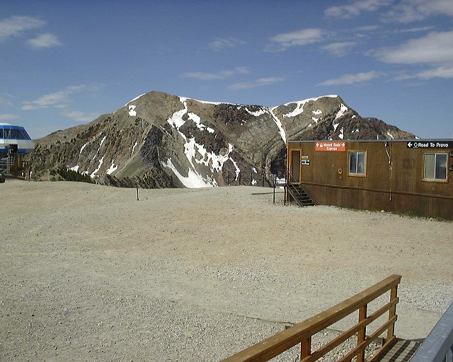 Snowbird Square on the Hidden Peak Summit, wait for the mall coming in the near future. American Fork Twins in the background.
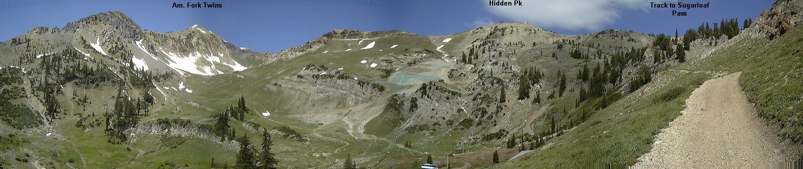 Mineral Basin panorama from start of the track to Sugarloaf Pass.
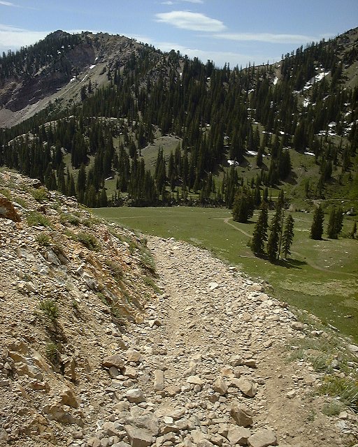
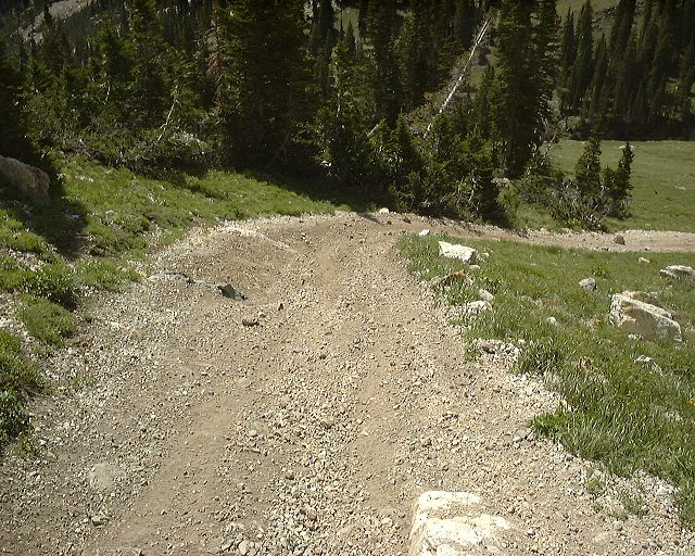
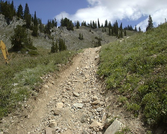
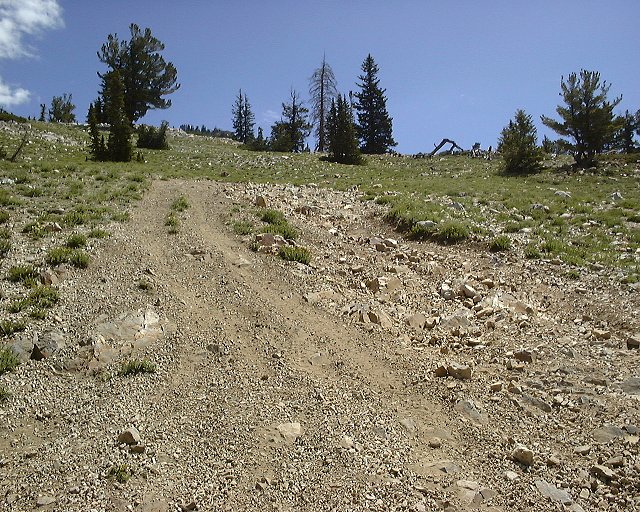 Several shots of the ATV destructed trail to Sugarloaf Pass.
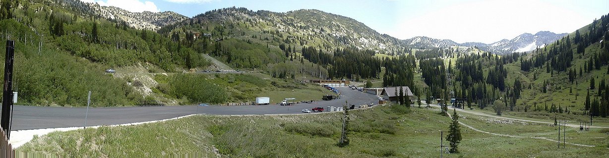 View from Alta east, Albion Basin (where I came from) is on the right, Grizzly Gulch (where I was heading) on the left.
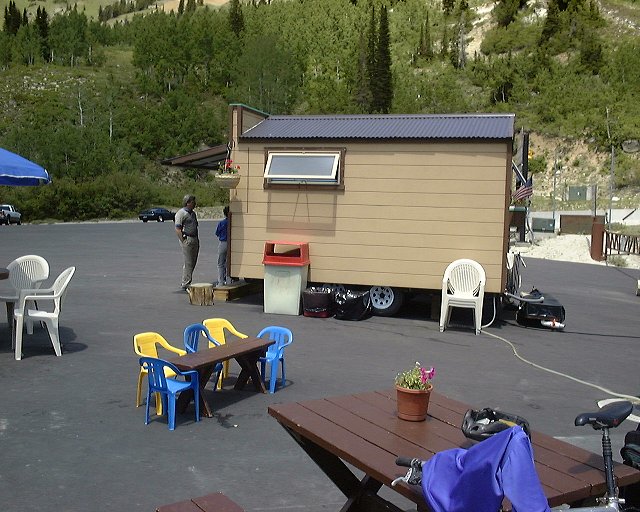 Refreshments kiosk in the upper Alta parking lot, where I had lunch.
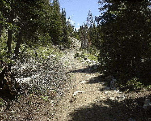 View up to the push section above Michigan-Utah mine.
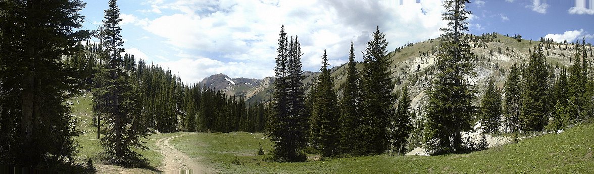 View west from central Grizzly Gulch (above Michigan-Utah mine).
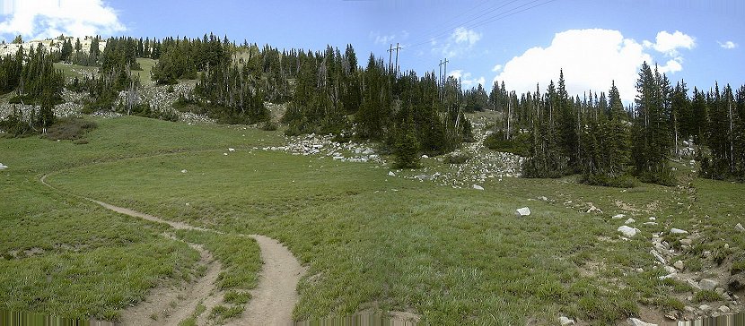 View east, to Twin Lakes Pass from the upper Grizzly Gulch basin.
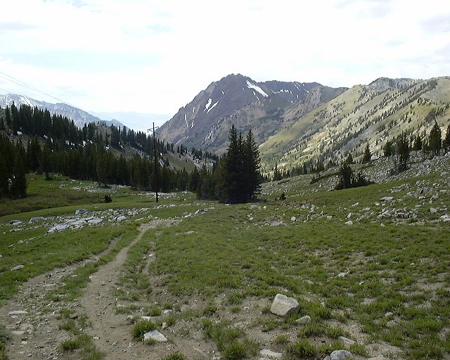 View down the canyon from the same spot.
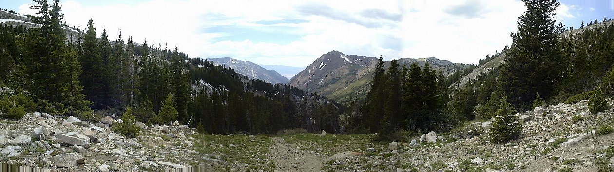 View west, down Little Cottonwood, from Twin Lakes Pass.
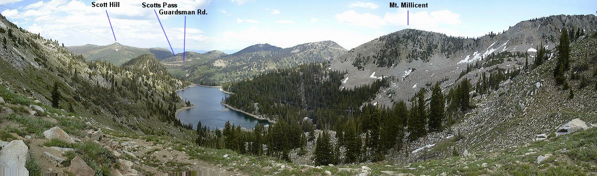 View east from Twin Lakes Pass, Twin Lakes reservoir right below.
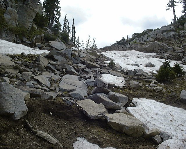 A little portage to a Solitude lift track.
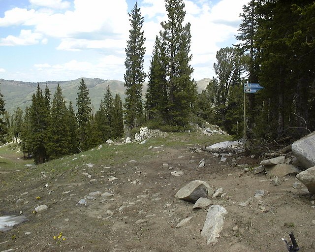 View down the track from the same spot.
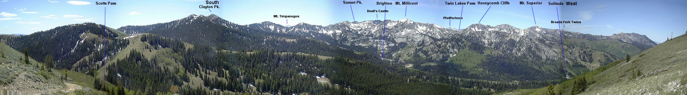 Panorama from Scotts Pass 2 south-west.
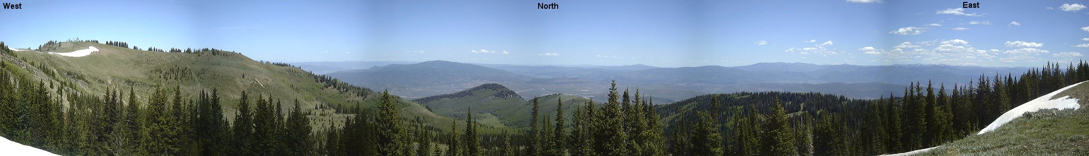 Panorama from Scotts Pass 2 west-north-east.
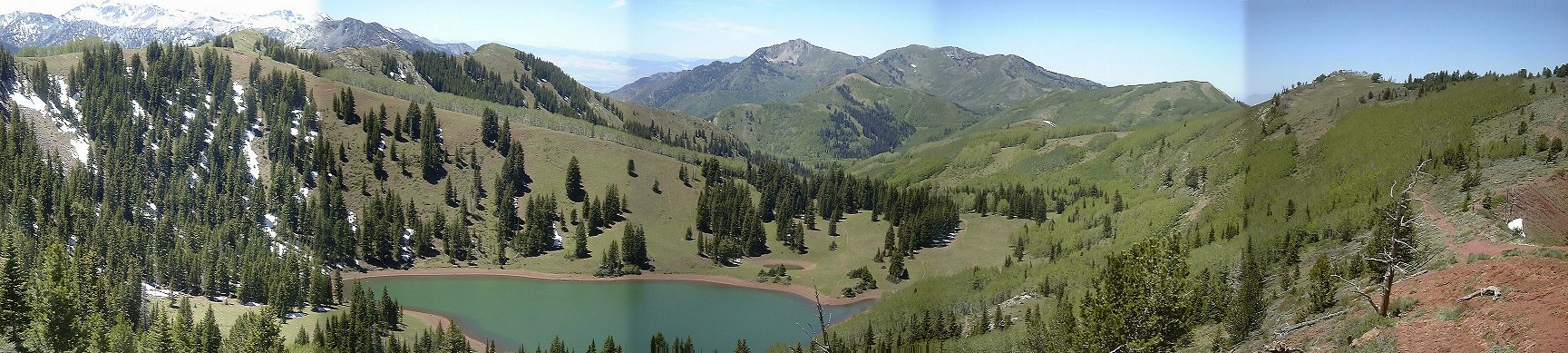 View down (west) towards Desolation Lake from where the trail hits the red rock.
U of U / CHPC / Cuma / Travel / English / Swell 01
URL: http://www.chpc.utah.edu/~mcuma/6res_01e.html