Cross country skiing in southeastern Michigan
I have spent the time around New Year 2001 at the house of my friend Dina, about 50 miles northwest of Detroit. It is located at the edge od the Detroit metropolitan area, as there is quite few forests and parks around.
Also, since the second half of December brought a lot of snow, we brought with us crosscountry skis, which proved to be a good idea. The weather was quite cold all the 5 days I was there, lows 10-15 F, highs 20-25 F. It snowed every other day, snowcover was about 2 feet. Almost like winters in Czech Rep. 15-20 years ago, before the warming started. We ended up skiing three afternoons, in parks max. 30 min. away from the house.
Holly State Recreation Area
About 20 mil on I-75 north of Pontiac, Mi. We were here on a snowy saturday afternoon. The place looked quite remote, although it was only 3 miles off the Interstate. Snow-covered roads with piles of snow on the sides. We parked on a small plowed-out place on a road, that in the summer leads to a campground. Fortunately, here we run into a couple of skiers who explained where to go. Here is a map of the park. The trails, in summer for hiking, are marked and on every crossroad is a map on a pole. This was nice, because we were not familiar with the area. I have done the loop marked on the map, skiing for a while on a frozen lake surface, which was a nice workout.
Fotos
Click on the picture to display the original size.
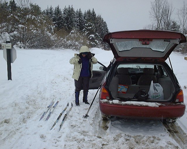
 Getting ready to start.

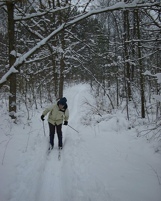
 Trail in the forest, not far from the now snow covered campground.
 Humorous sign for us Utahns, used to slightly different kinds of wilderness.
 Panorama from a hill over a lake in the southern part of the park.
Bald Mountain State Recreation Area
This park is about 10 miles east of Pontiac, but the road there is slightly complicated. Because it is close to the cities, there were also more skiers, about 5 cars on the parking area, but people spread out on the 10 or so miles of trails. Here is a map of the park. I did the longest loop, in total about 8 miles long.
Fotos
Click on the picture to display the original size.
 Heart Lake near the trailhead.

 On the trail near Heart Lake.
 Direction post with a map.
 View west at the point where the trail crosses the road.
 Trail on the shore of East Graham Lake.
Stony Creek Metropark
Apart from State Parks, Detroit area also has so called Metroparks, which belong to the city and are more directed to a family recreation. Another difference is that at the entrance are toll booths, $2 on weekdays and $3 on weekends. Theoretically, also State Parks charge $4/day entry fee, but nobody collects it, and it seemed to me unlikely that park rangers would check parked cars if they have the permits in a cold and snowy weather.
Back to the Stony Creek. The cross country ski area is quite small, about 2x3 miles of the SW side of the park. There are numerous trails, though, which seem to be well used. However, we were there on Wed. afternoon, so it was not crowded at all. It took me about 2 hours to cover about 2/3 of the trails in the park.
Fotos
Click on the picture to display the original size.
 Trail going north into less visited area of the park.
 Crossroads.
 Trail with deer in the distance.
 One of few decent hills.
Back Comments, questions
U of U / CHPC / Cuma / Travel / English / Detroit 01
URL: http://voth.chem.utah.edu/~mcuma/det01e.html

 Trail in the forest, not far from the now snow covered campground.
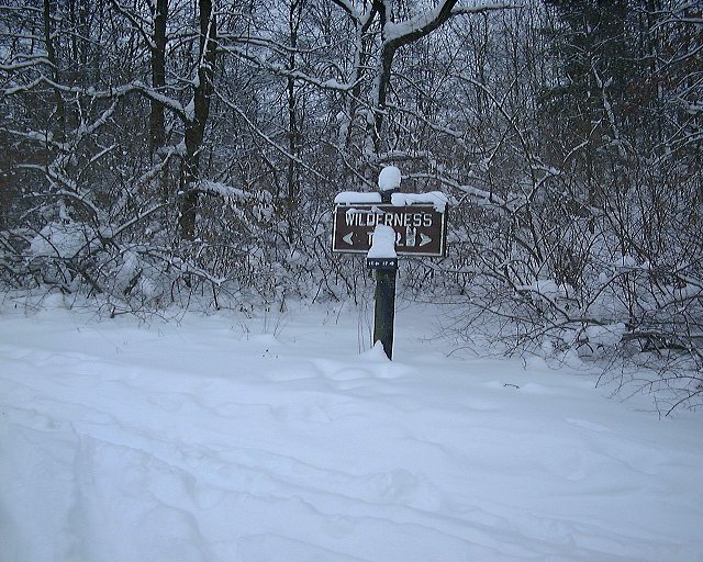 Humorous sign for us Utahns, used to slightly different kinds of wilderness.
 Panorama from a hill over a lake in the southern part of the park.
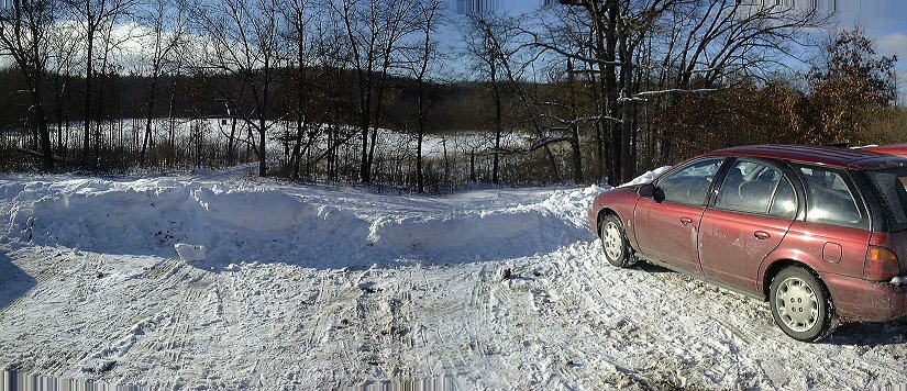 Heart Lake near the trailhead.
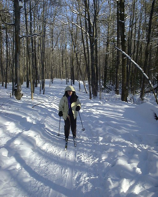
 On the trail near Heart Lake.
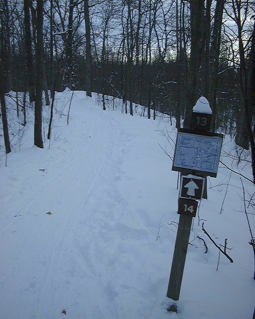 Direction post with a map.
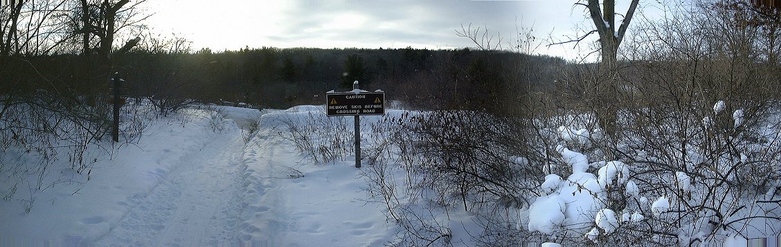 View west at the point where the trail crosses the road.
 Trail on the shore of East Graham Lake.
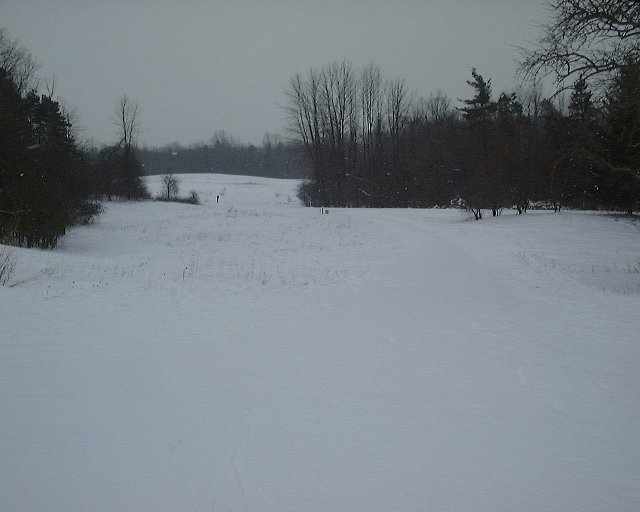 Trail going north into less visited area of the park.
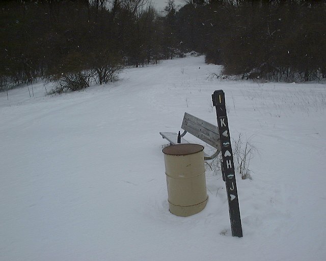 Crossroads.
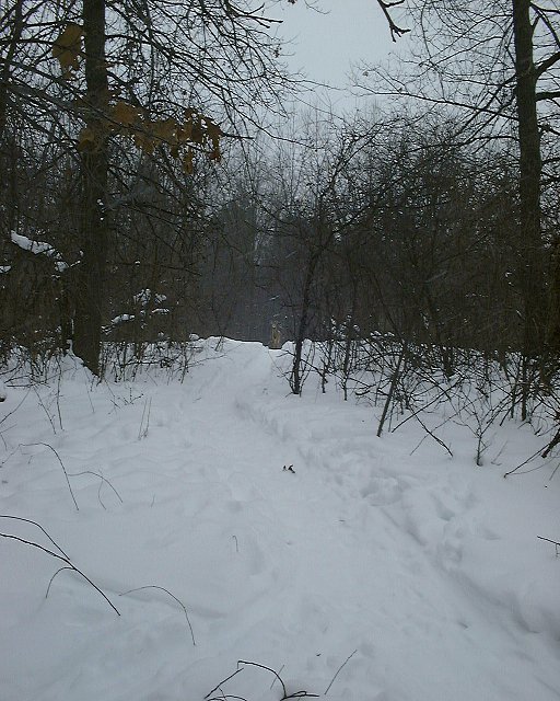 Trail with deer in the distance.
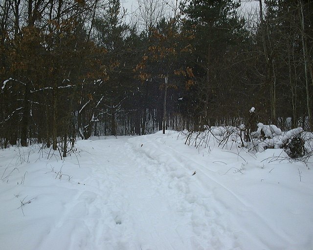 One of few decent hills.