Moro Canyon trail map and pictures
Here is the map of my tracks as taken by the GPS and plotted on the Terraserver satellite foto (450 kB). This park is a part of Crystal Cove State Park and lies on hills with direct views to the ocean. Most of the trails are fire roads, with occasional singletrack. The best one is supposedly the Rattlesnake, that is kinda technical, but not unrideable. I liked the most the singletrack section on the eastern ridge. Quite narrow and curly. The double loop I did more less explored every trail in the park in ca. 25 km and 700 meters of climbing.
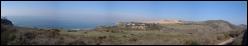
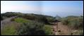
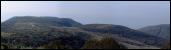
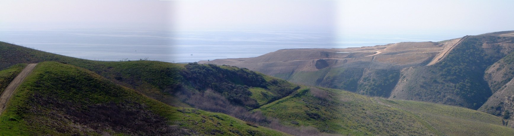
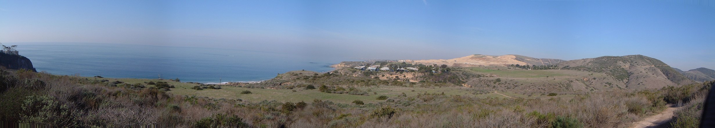
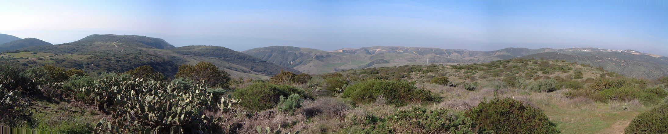
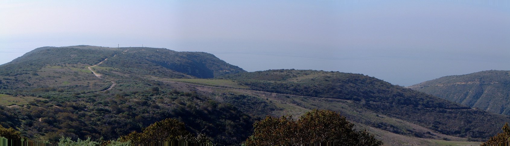
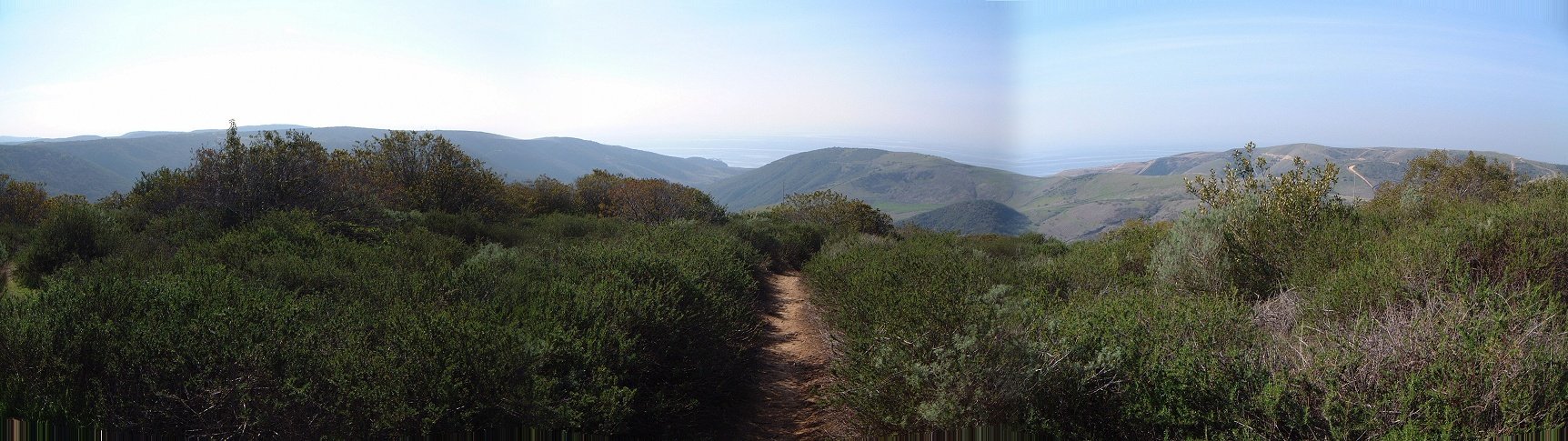
Panoramas from the climb up Moro ridge in the southern part of the park.
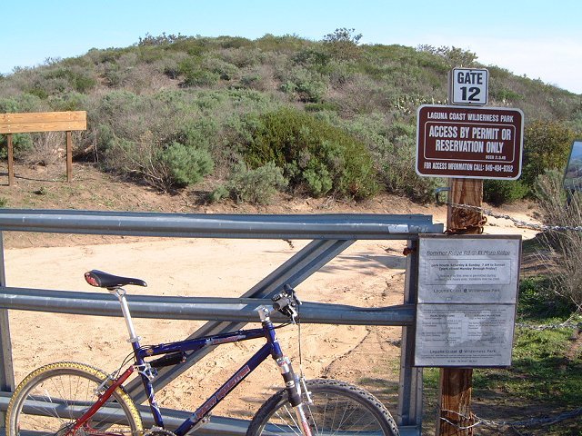
 Closed gate that connects trails in Moro Canyon with Laguna Wilderness Park, which is opened only on the weekends.
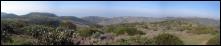
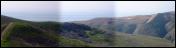
A view inland (east) from the main ridge, Santa Ana mountains in the background.

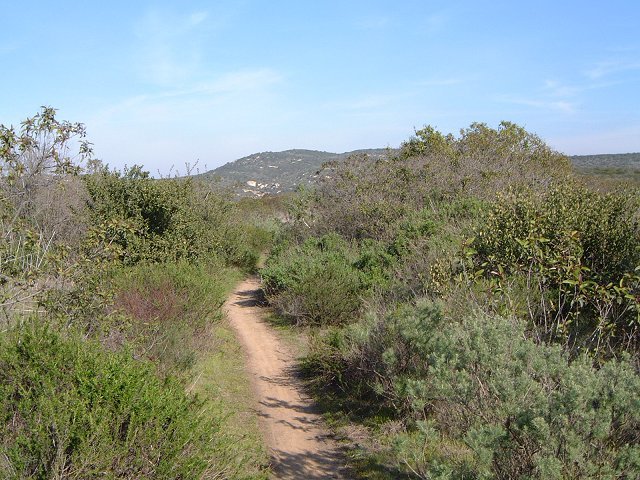
 A few parts of the Rattlesnake singletrack are quite nice.
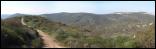
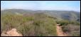
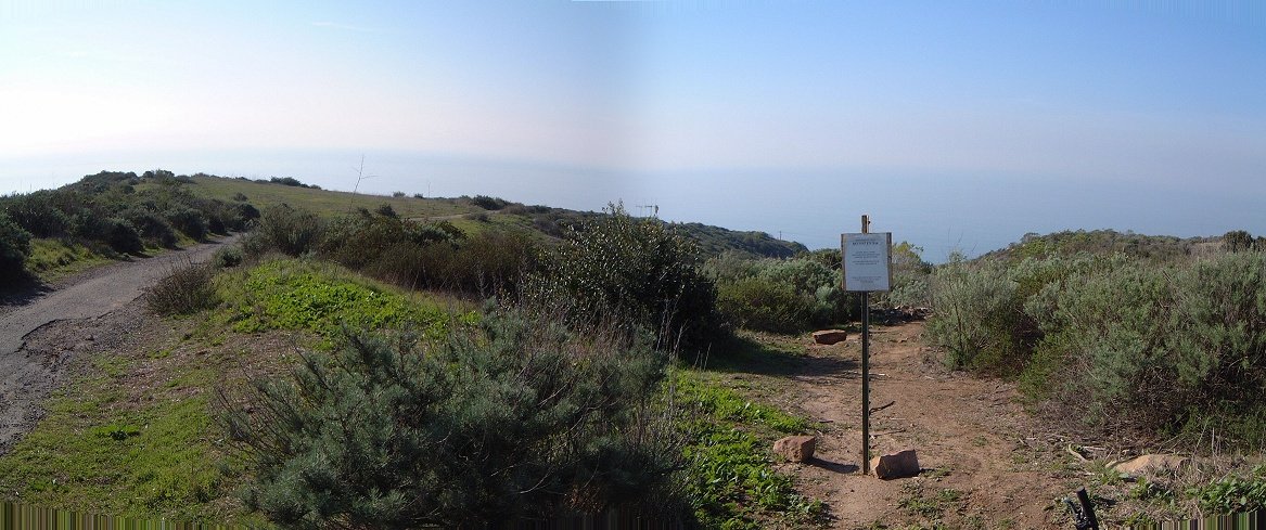
Panoramas from the Rattlesnake first and last west, middle one east.

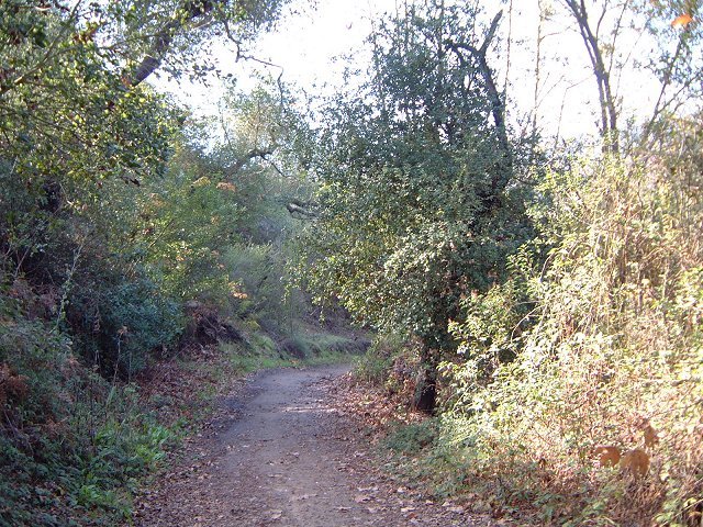
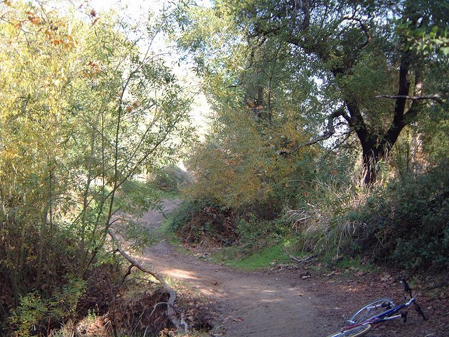
 As the road climbs up Moro Canyon, there are several moist and shaded areas.
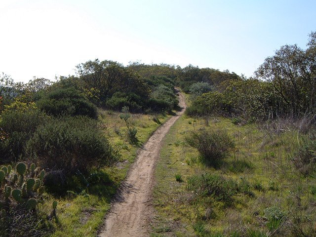
 The upper part of the climb up Moro Canyon.

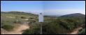
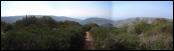
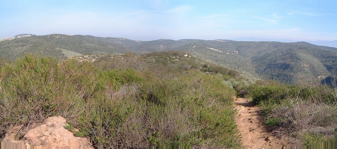
Panoramas from No Name Ridge in the northern part of the park.
 Closed gate that connects trails in Moro Canyon with Laguna Wilderness Park, which is opened only on the weekends.
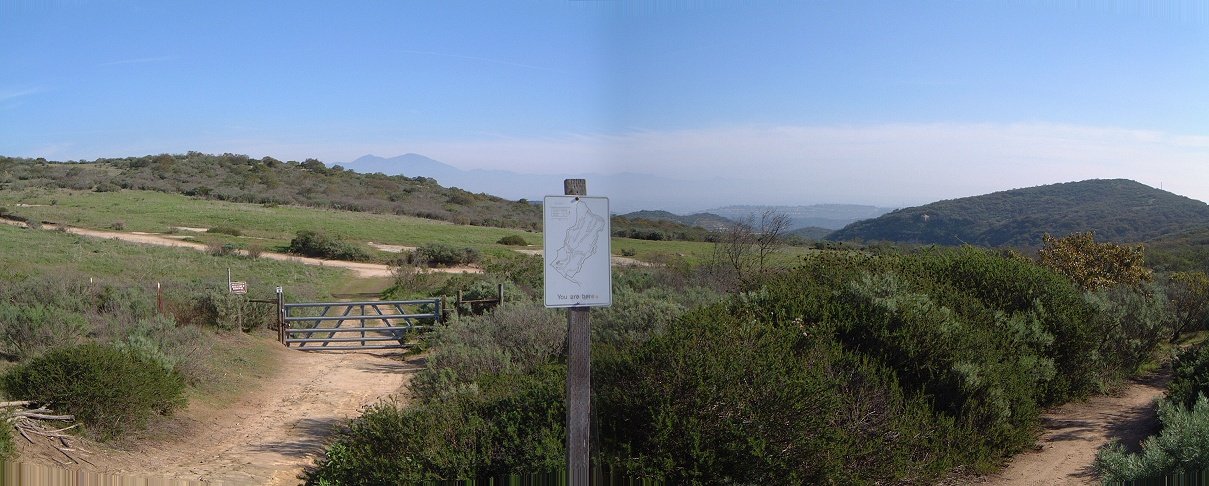
 A few parts of the Rattlesnake singletrack are quite nice.
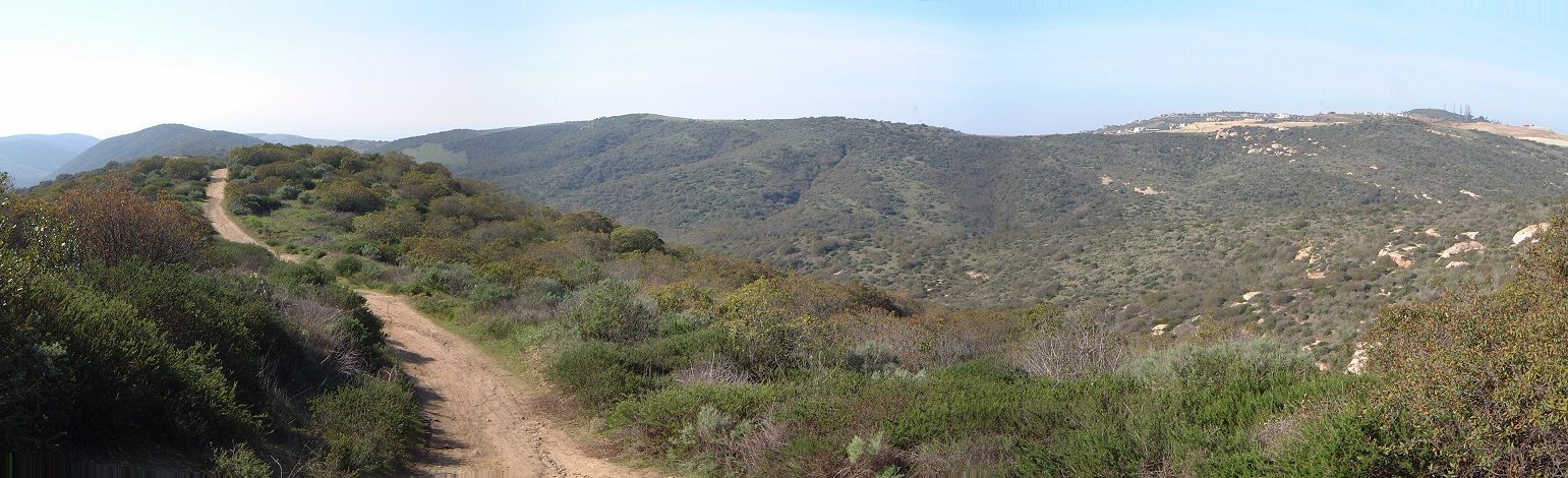
 As the road climbs up Moro Canyon, there are several moist and shaded areas.
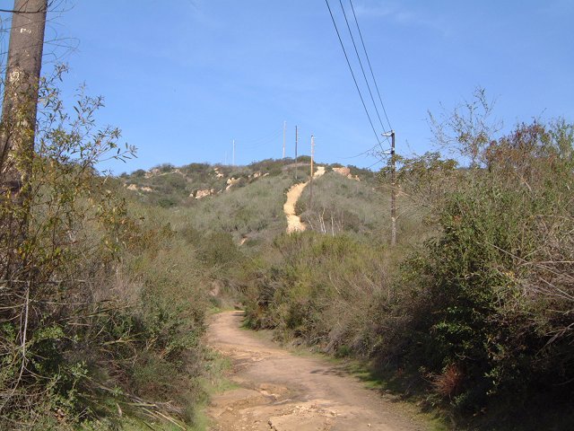 The upper part of the climb up Moro Canyon.