San Juan trail map and pictures
Here is the map of my tracks as taken by the GPS and plotted on the Terraserver satellite foto (note, it's 750 kB). I went up San Juan, then missed the turn to Old San Juan to complete the loop as described in the guidebooks and turned out at the Blue Jay campground, which is an alternate trailhead for those who want to skip the climb and just ride down. So, I went back and after gathering my senses, I found both the turnoff to Chiquita trail, and rode it a bit down just to see, and then finished the small loop rejoining the San Juan trail back to the trailhead.
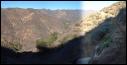
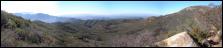
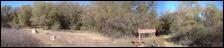
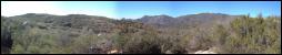
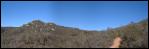
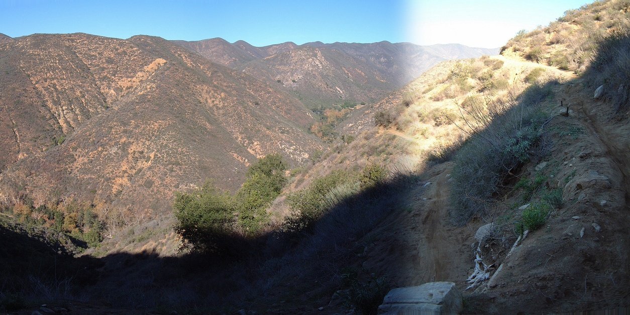
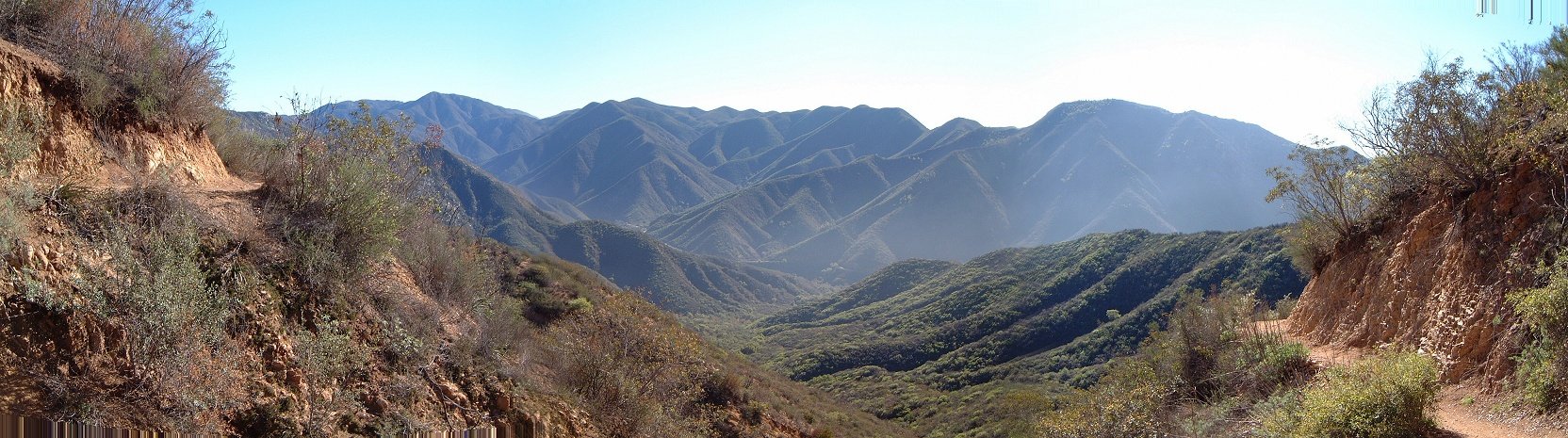
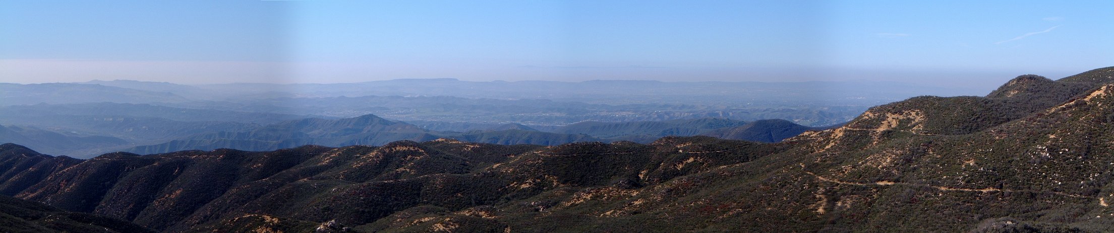
Panoramas as one climbs up San Juan Trail.

 South facing slopes are pretty dry.
 The singletrack can get as narrow as this.
 Or as rutted as this (this was a nice section going through a forest meadow).
 Confusing intersection of San Juan and Old San Juan Trail, one comes from the left and leaves on the right, there are two more trails to choose from.
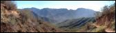
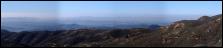
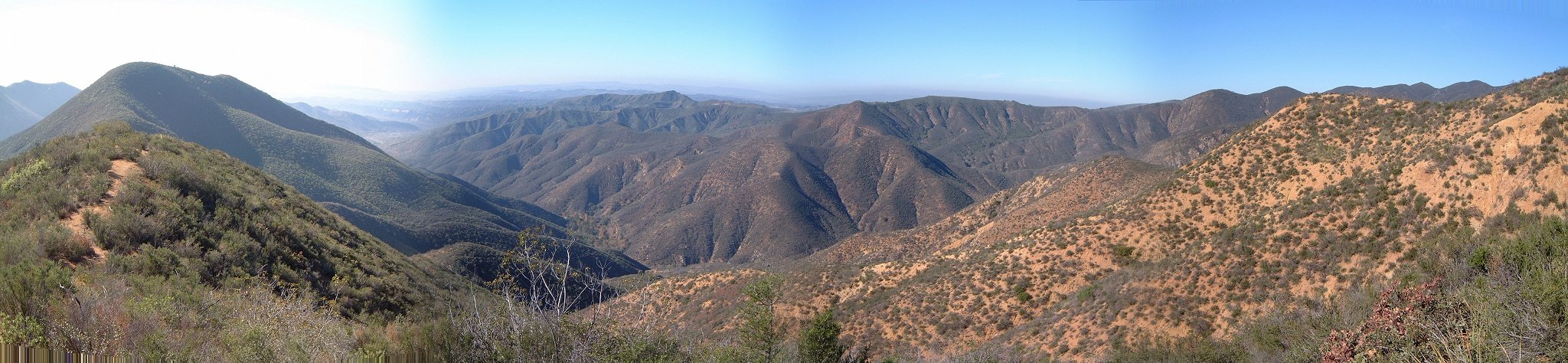
 Panorama southeast as one nears the Blue Jay trailhead.
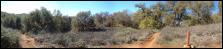
 The trail goes mostly through the forest in near the upper trailhead.
 Intersection with Chiquita trail brings no confusion (as opposed to the other intersections encountered previously).
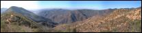
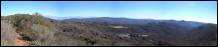
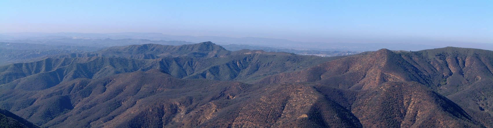
 Panorama west from the eastern side of the loop, the trail here rolls up and down through the bushes.
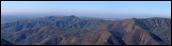
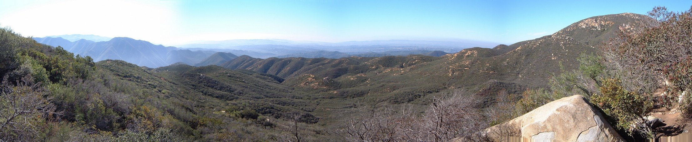
 Another panorama from this bushy area.
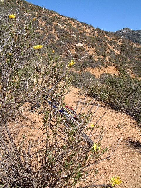
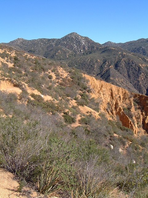 South facing slopes are pretty dry.
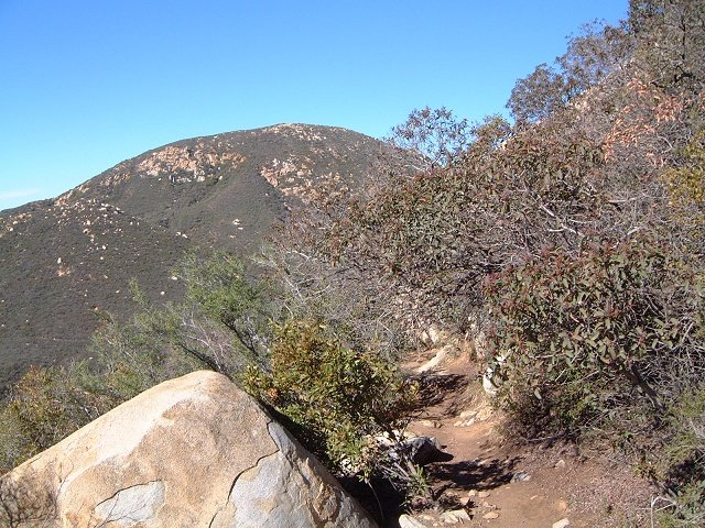 The singletrack can get as narrow as this.
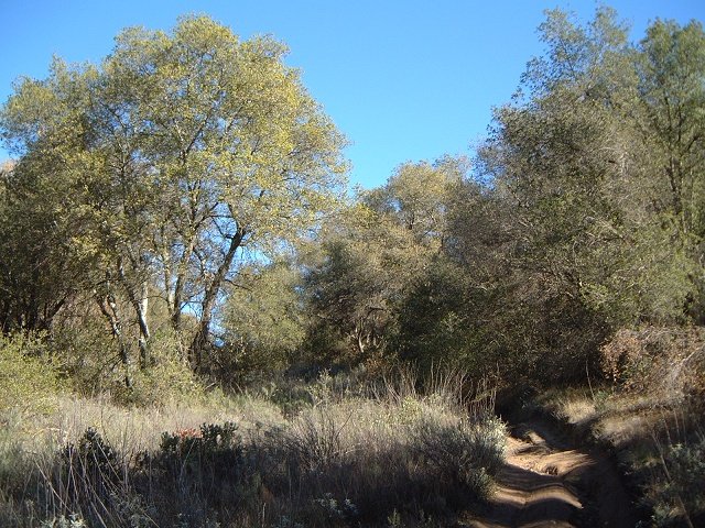 Or as rutted as this (this was a nice section going through a forest meadow).
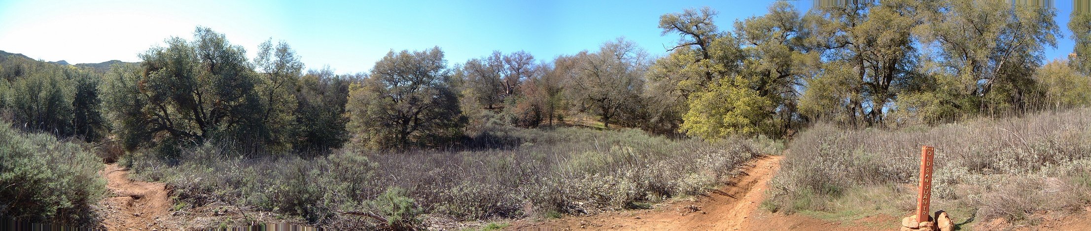 Confusing intersection of San Juan and Old San Juan Trail, one comes from the left and leaves on the right, there are two more trails to choose from.
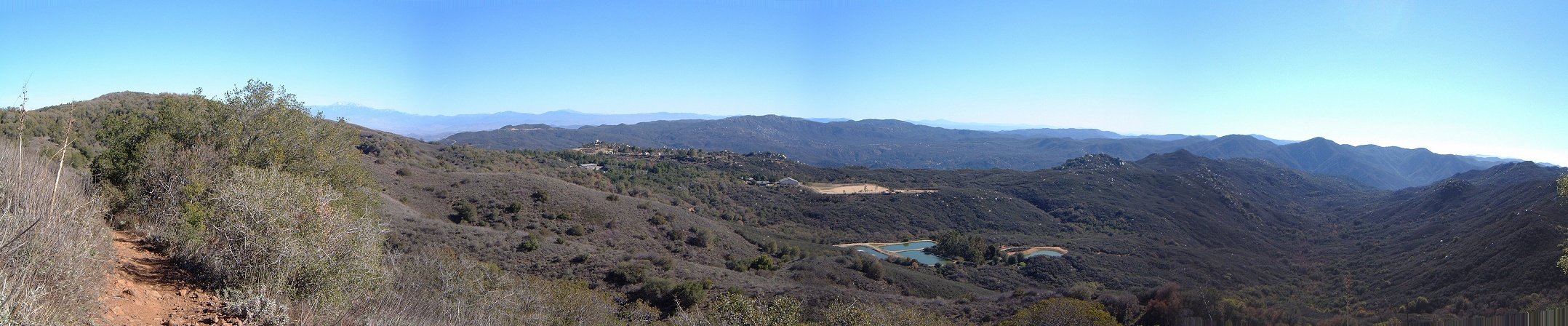 Panorama southeast as one nears the Blue Jay trailhead.
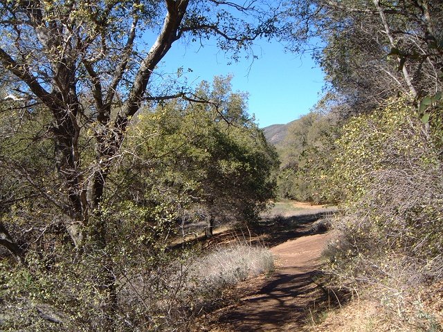 The trail goes mostly through the forest in near the upper trailhead.
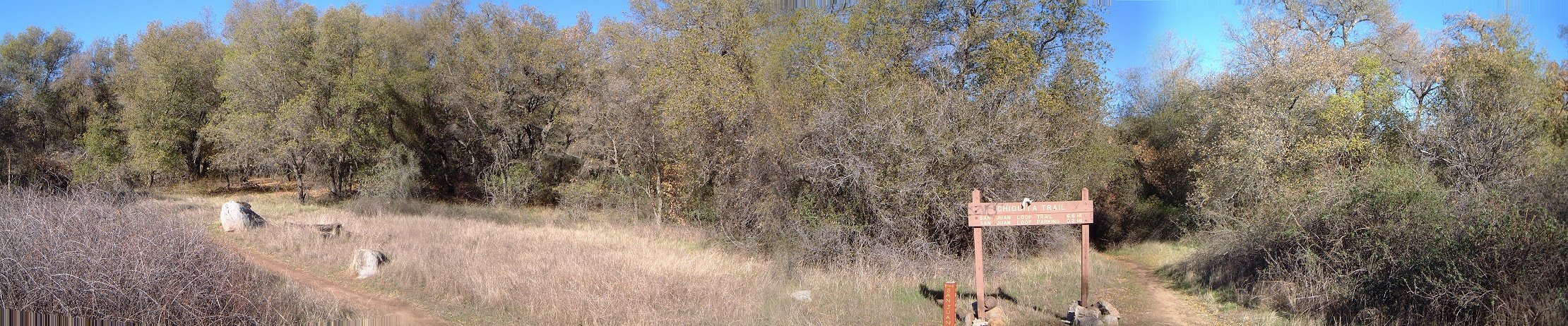 Intersection with Chiquita trail brings no confusion (as opposed to the other intersections encountered previously).
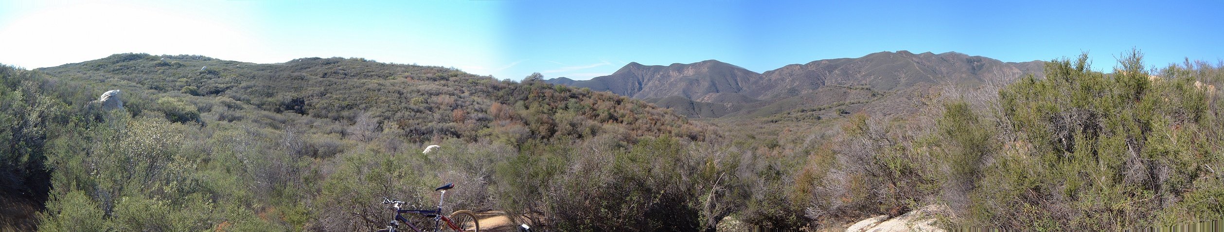 Panorama west from the eastern side of the loop, the trail here rolls up and down through the bushes.
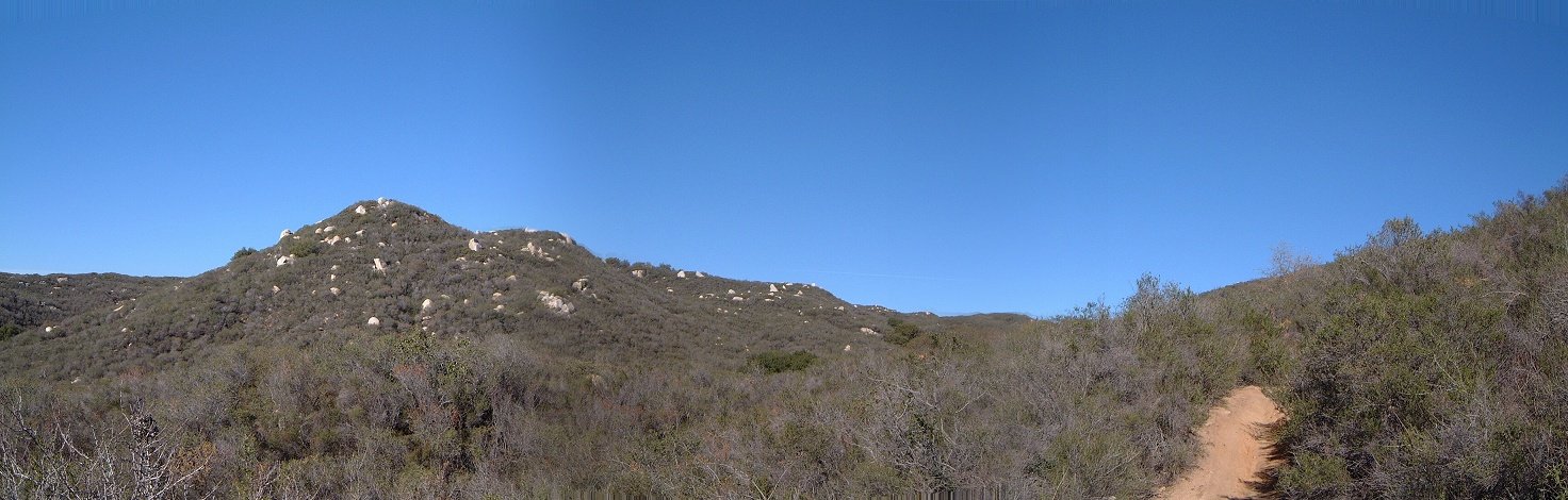 Another panorama from this bushy area.